
Photographed on 3rd June and 8th June 2021.
Introduction
The Chisholm Trail is a cycle and pedestrian route being constructed to enable us to cross between the north and south of Cambridge on dedicated paths and quiet roads. Its central section will link the Cambridge main and Cambridge North railway stations.
The part to be completed in 2021 leads from Cromwell Road to Cambridge North Station. The path from Cambridge Station to Cromwell Road will follow later, but preparations for it are clearly underway.
This walk follows the construction from Mill Road Bridge to Ditton Meadows; I haven’t bothered to photograph the first part near the station through the grubby windows of the Carter Bridge. A new cycle and footbridge across the Cam from Ditton Meadows is in place, but not ready to be used at the time of writing (June 2021).


Route
This starts on Mill Road Bridge, and ends on the footbridge over the railway from Ditton Meadows to Stourbridge Common.
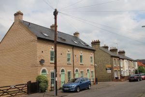
Mill Road Bridge
The part of the Chisholm Trail from the main station as far as Coldham’s Lane will include routes on both sides of the railway.
- The one on the east (Coleridge/Romsey) side will run alongside the railway track from Clifton Road to Cromwell Road, then on Cromwell Road to Coldham’s Common.
- The one on the west (city) side will run alongside the railway track from the station car park to Ainsworth Street, then on Ainsworth Street and York Street and the existing footpath around the Beehive Centre to Coldham’s Lane. There’s already a cycle and footbridge over the railway there to join the route on the east side.
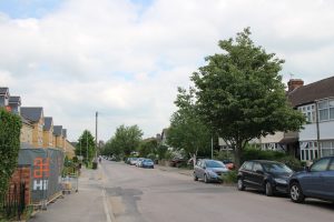
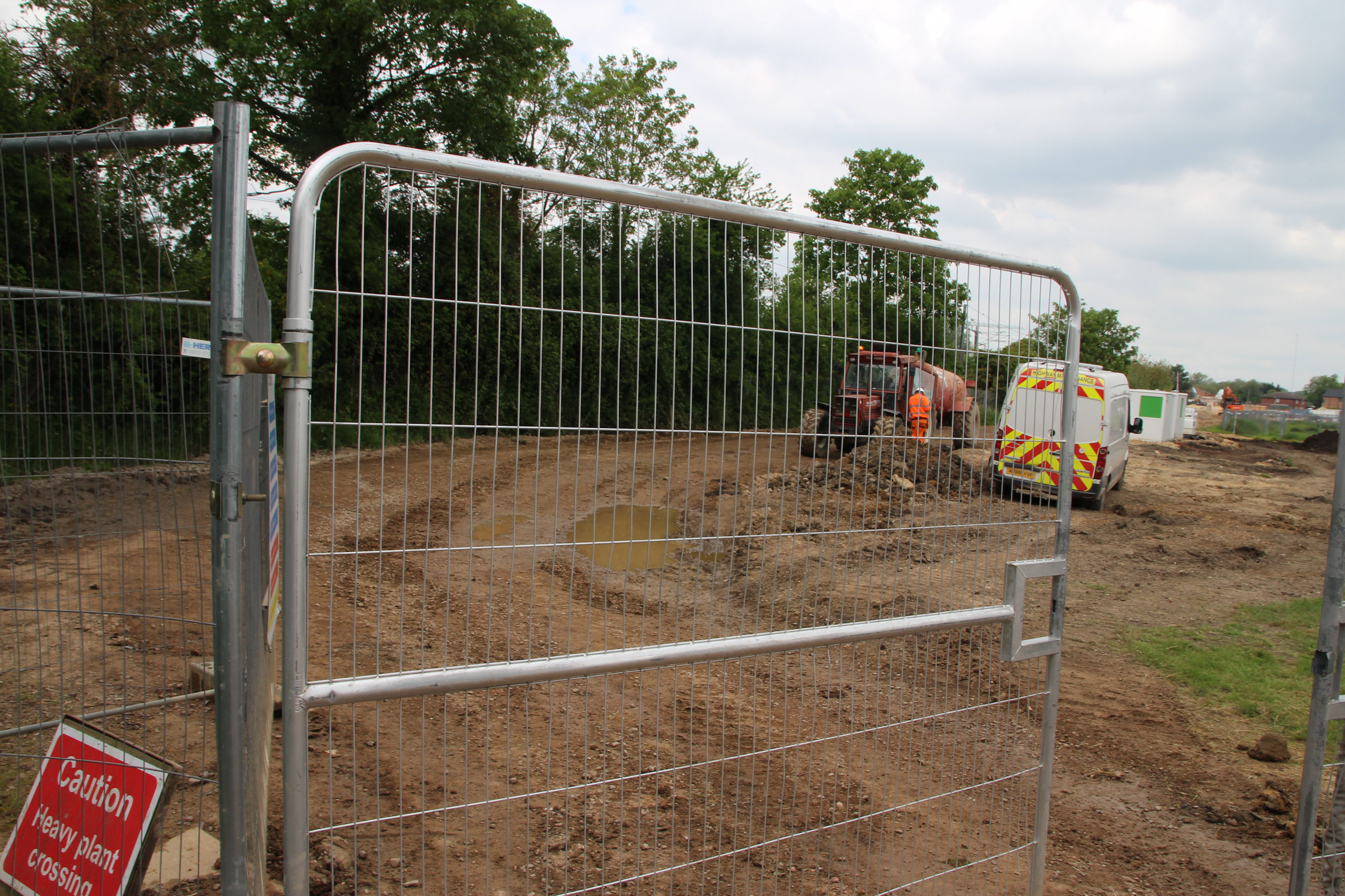
I’m on the east side of Mill Road Bridge looking south towards the station.
On this side there’s space for a path alongside the railway track between Clifton Road and here, though not yet fenced off from it or surfaced. From Clifton Road you can cross to Rustat Road along the existing path opposite Davy Road, then double back along Rustat Road to get to the Carter Bridge.

On the city side (not shown) there has long been a path alongside the railway track from the station car park to Mill Road, but again not fenced off from the track and only usable by railway staff.
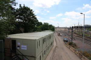
To the west of the railway north of Mill Road bridge, the large Ironworks development is underway on what used to be the Council Depot site. There’s no evidence of a Chisholm Trail alongside this yet.
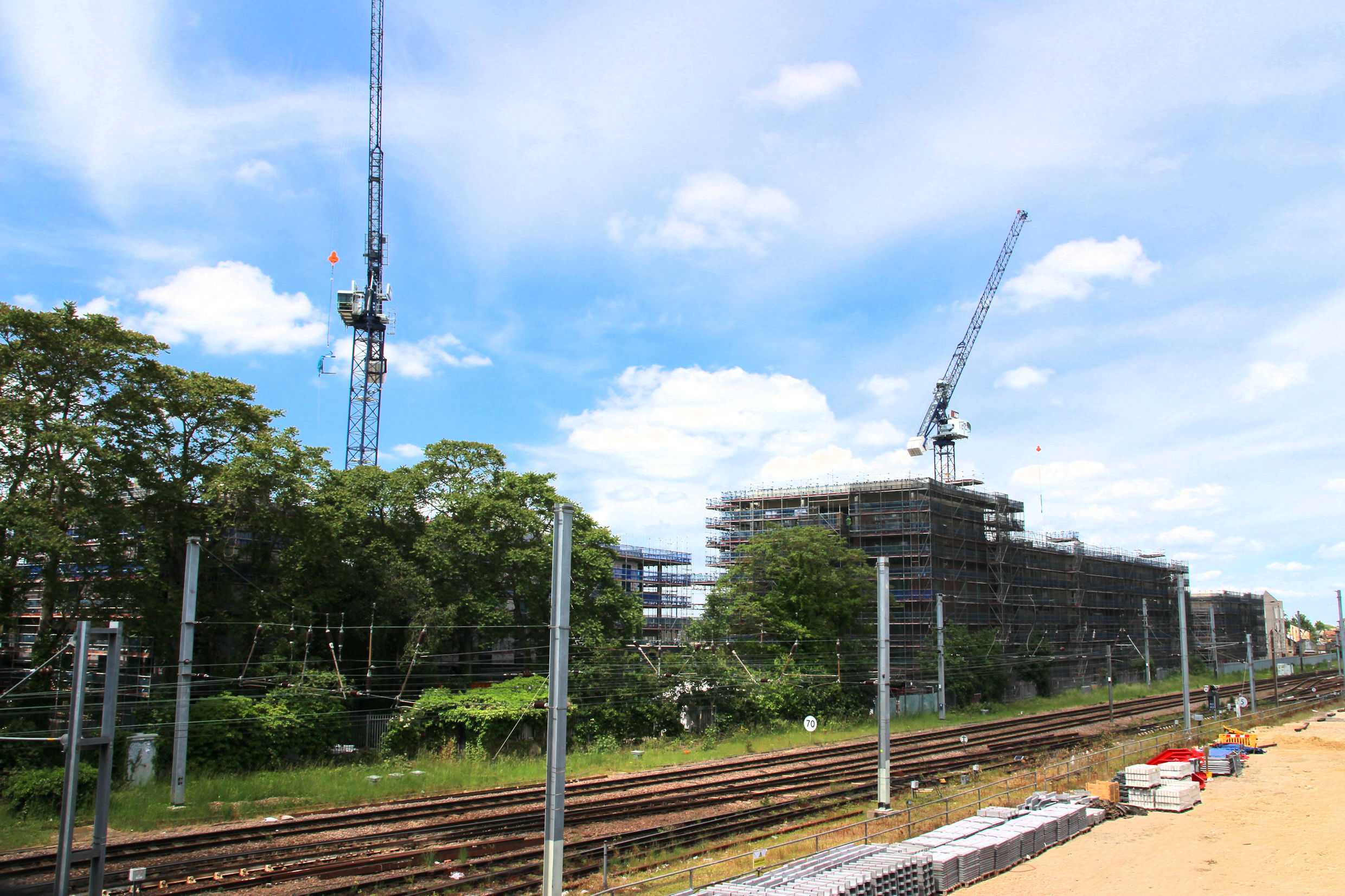
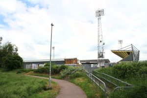
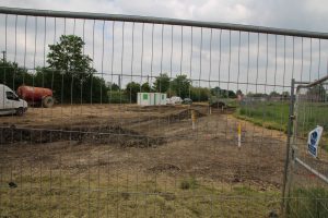
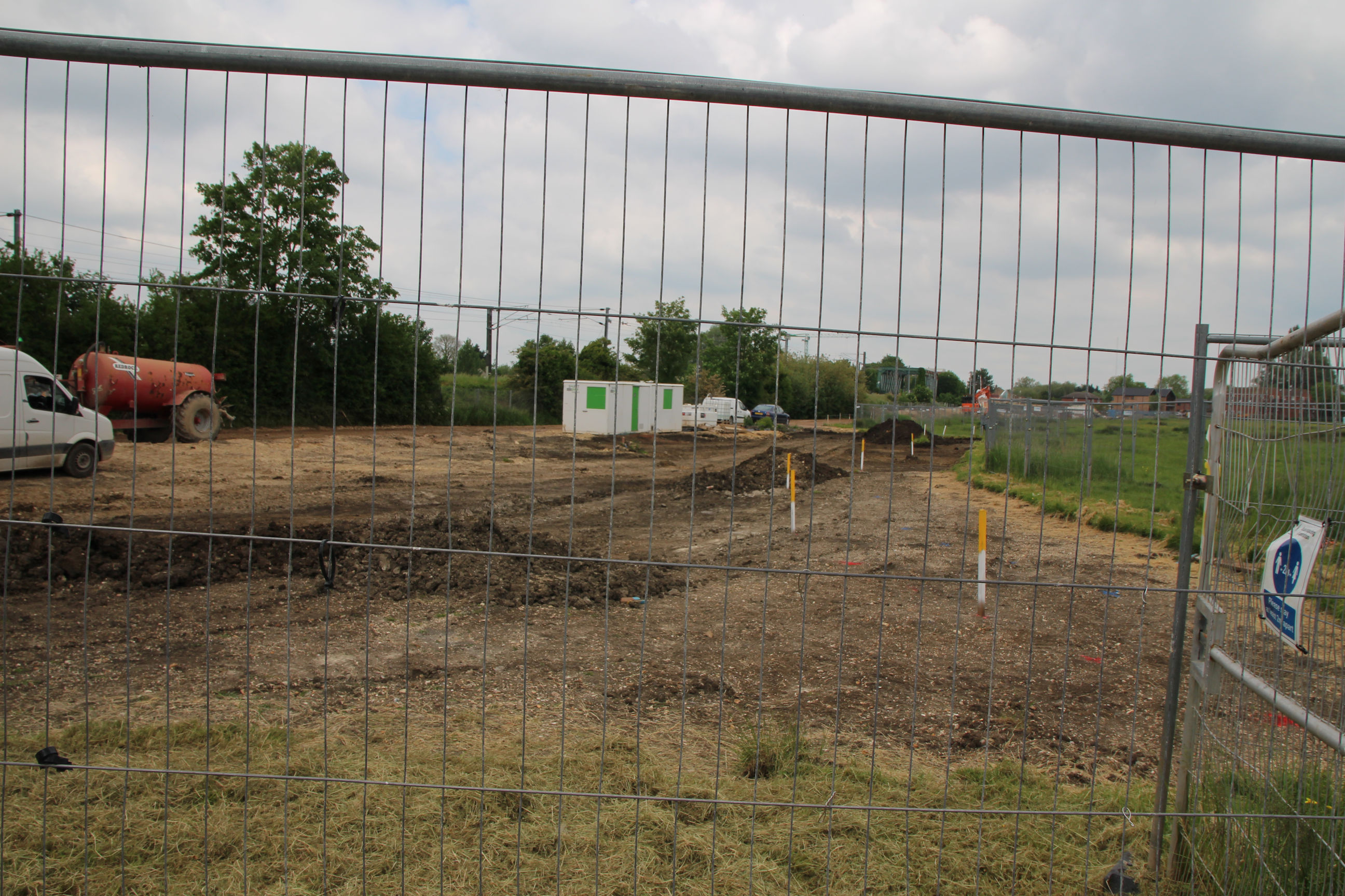
On the east side it’s a totally different story. A wide corridor of land has been cleared stretching for some distance. There used to be Portakabins here.

This shows the cleared area from its own side of the tracks. The Chisholm Trail will presumably run along the side where the green barrier is. This goes as far as the former Ridgeons site, also now being redeveloped. It will cross that to emerge beside the Cromwell Road shops.

To get to Cromwell Road now I walk along Mill Road and up Sedgwick Street. I haven’t photographed that today.
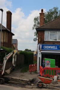
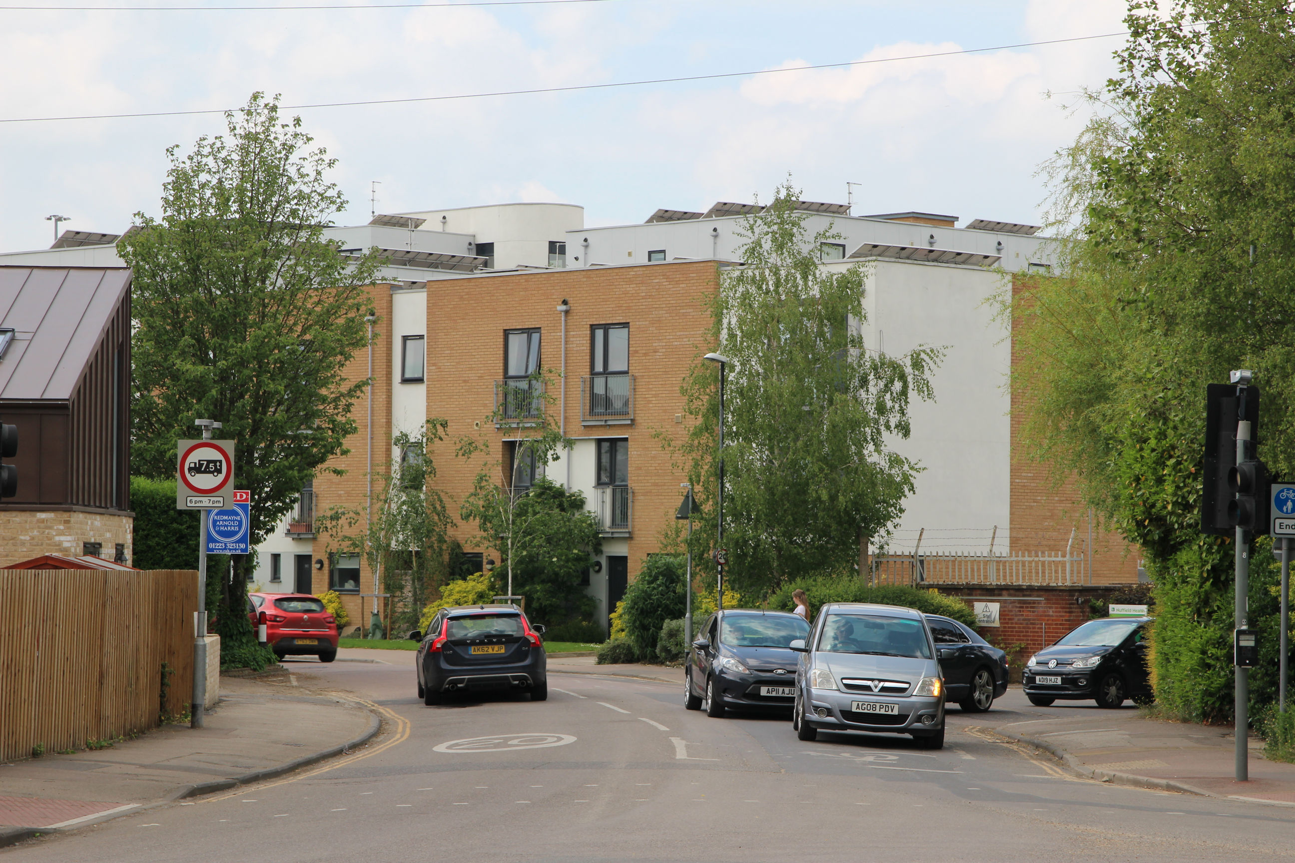
Cromwell Road
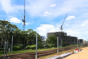
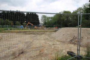
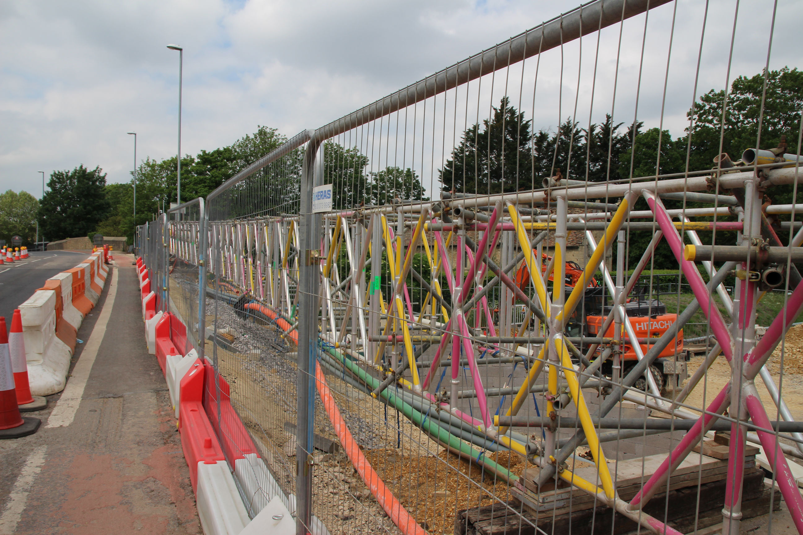
The Chisholm Trail will emerge from the Ridgeons site here. Currently it’s an unfinished path with grass on. The CityFibre Purple Network is being constructed here today.

The trail will continue on Cromwell Road to the right. The cranes that can be seen over the shops are on the Ridgeons site.
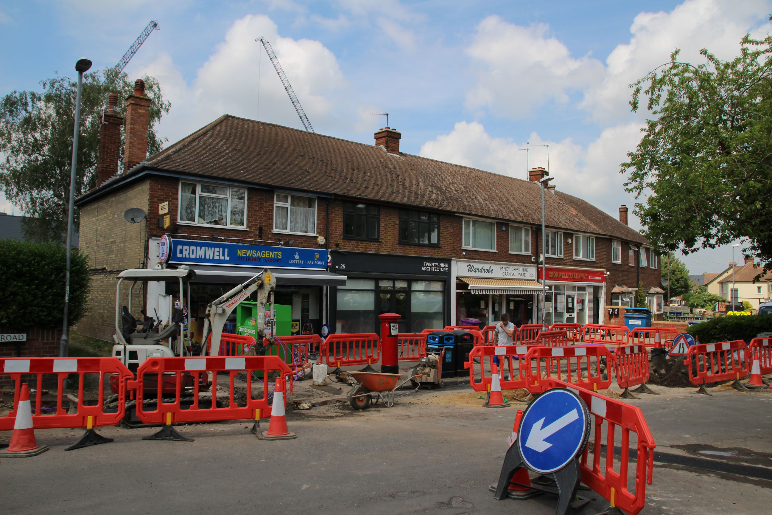
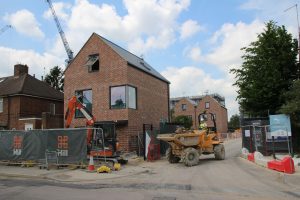
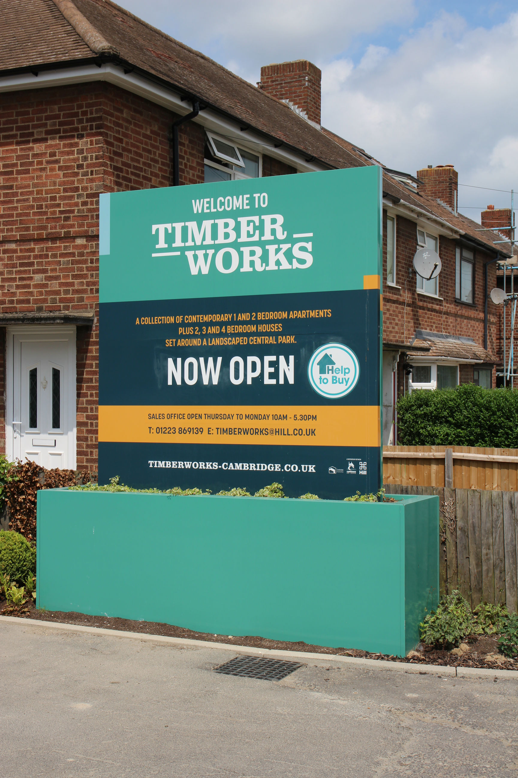
New flats are being constructed on the large site formerly occupied by Ridgeons Builder’s Merchants, now called Huws Gray and moved to Norman Way on the Chalk Pits site.
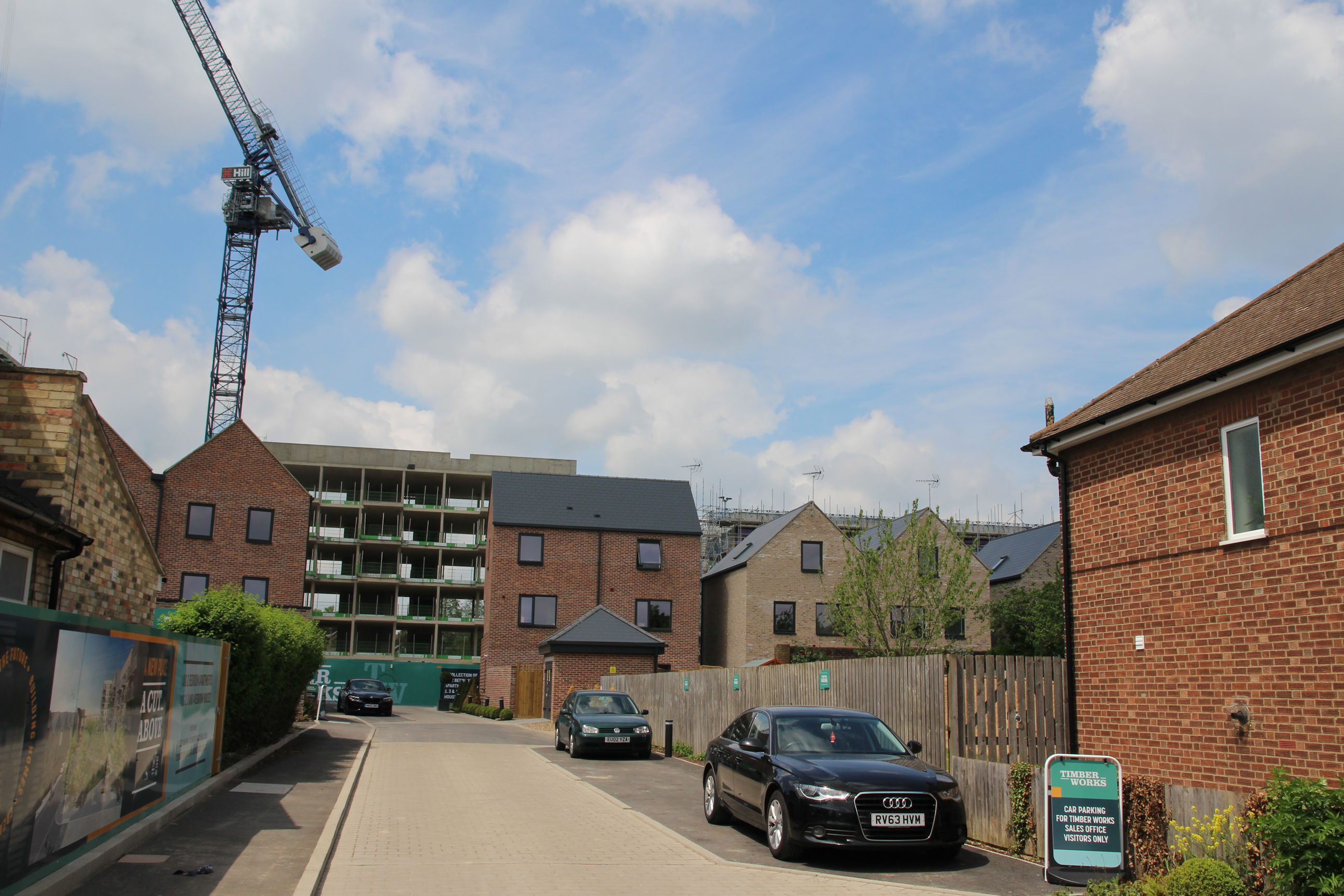
The new development is called Timber Works, and the site sign bears a distinct resemblance to Ridgeons’ branding.
Further along it looks as though they’re building houses rather than flats.
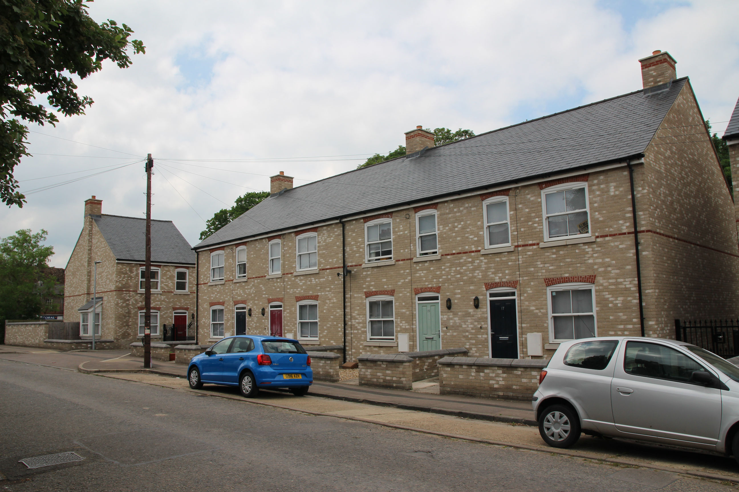
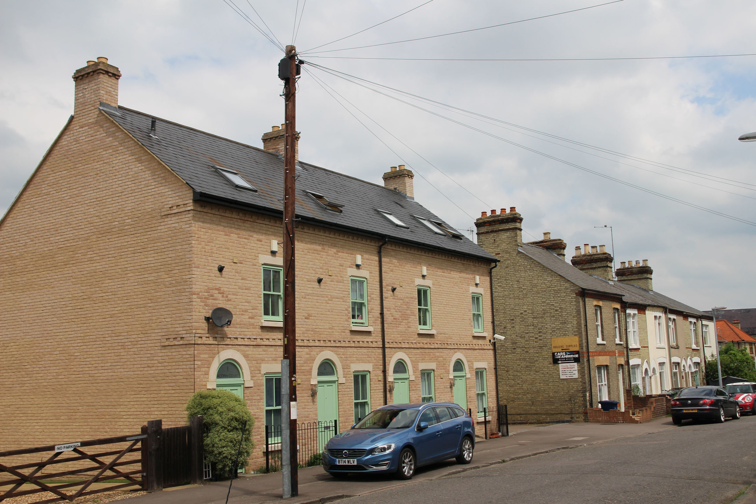
Most of Cromwell Road has 21st Century developments along the west side and 1930s terraces on the east side.
Looking back into Cromwell Road from Coldham’s Lane, there are modern “Brutalist”-style houses and flats.
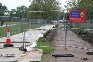
Coldham’s Common
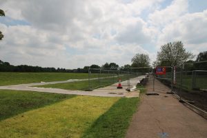
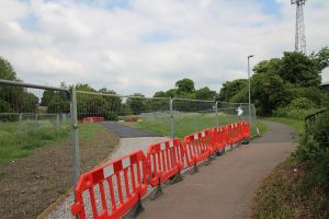
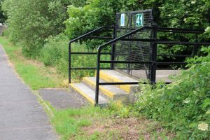
Crossing Coldham’s Lane onto the common, a new temporary path has been laid to the right of the existing path, which is being worked on.
The diversion can be seen closer-up here.
This shows the closed section of footpath from the other (north) end, with the temporary path to the left.

Here the state of the grass suggests the temporary path has been moved.
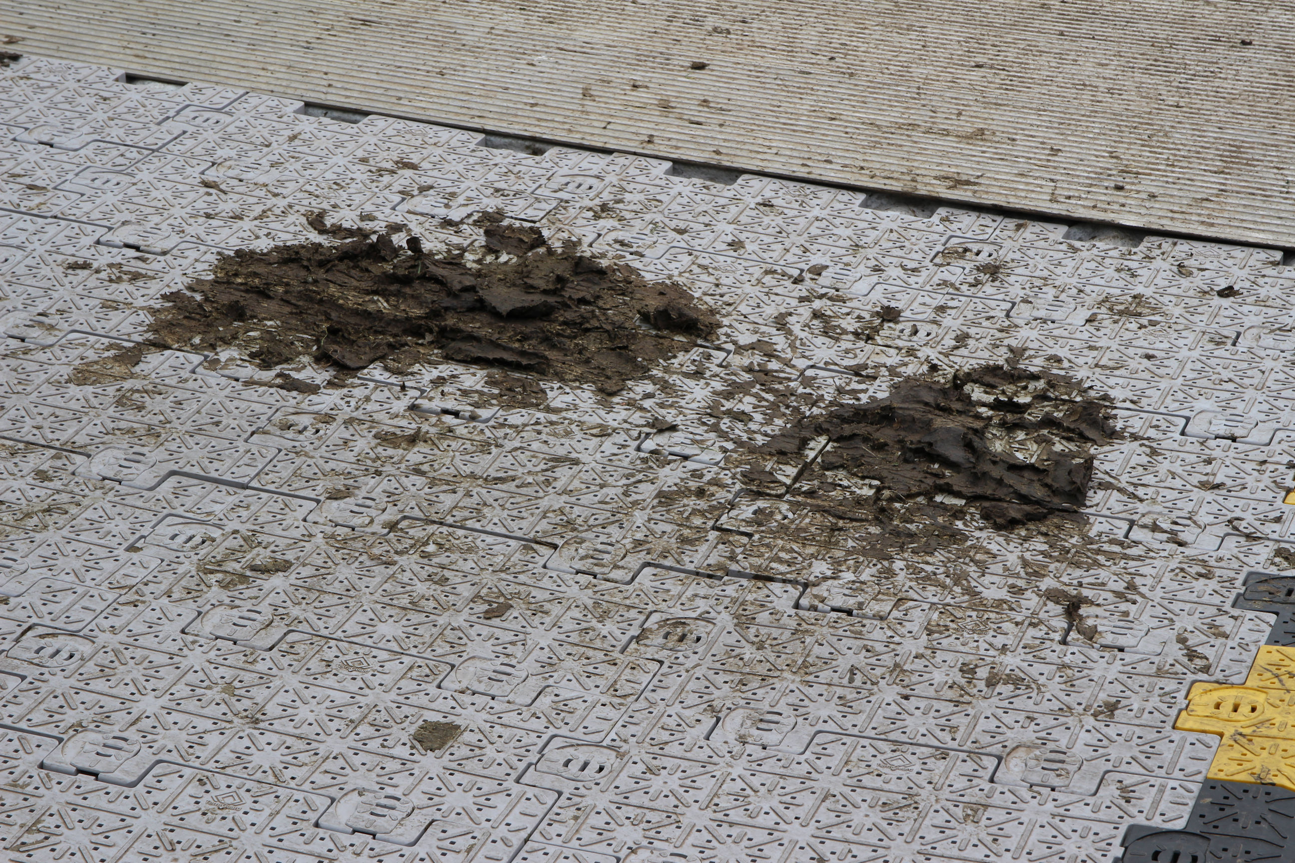
Although the temporary path is constructed of plastic “jigsaw pieces” it is already liberally spattered with cowpats! This sort of juxtaposition of urban and rural is something Cambridge is well known for. The cows were nearby earlier this morning, but have vanished now.
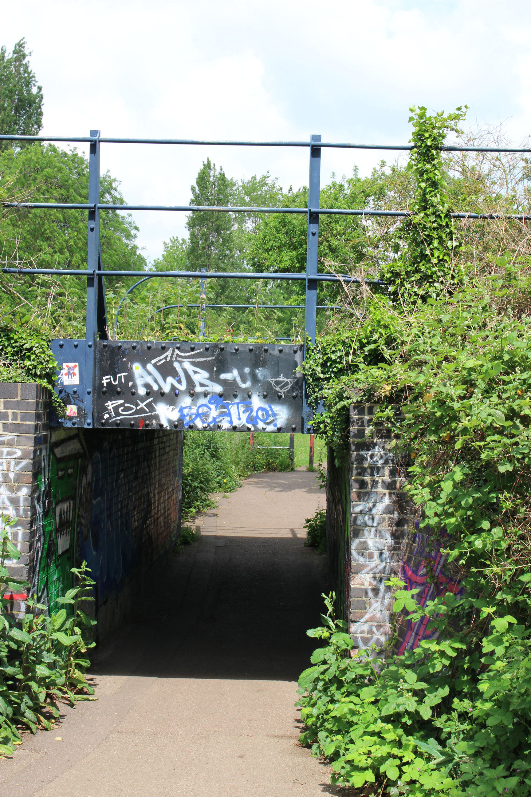
I’ve now reached the bridge where the railway to Cherry Hinton crosses over the footpath. The decor, both interior and exterior, leaves something to be desired, but on the left someone has at least attempted art as opposed to scribble. I should try to get a better picture of the “Green Man” next time I’m here.
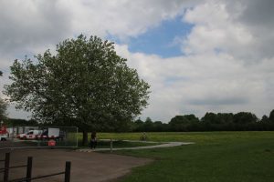
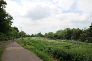
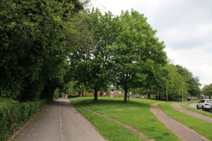
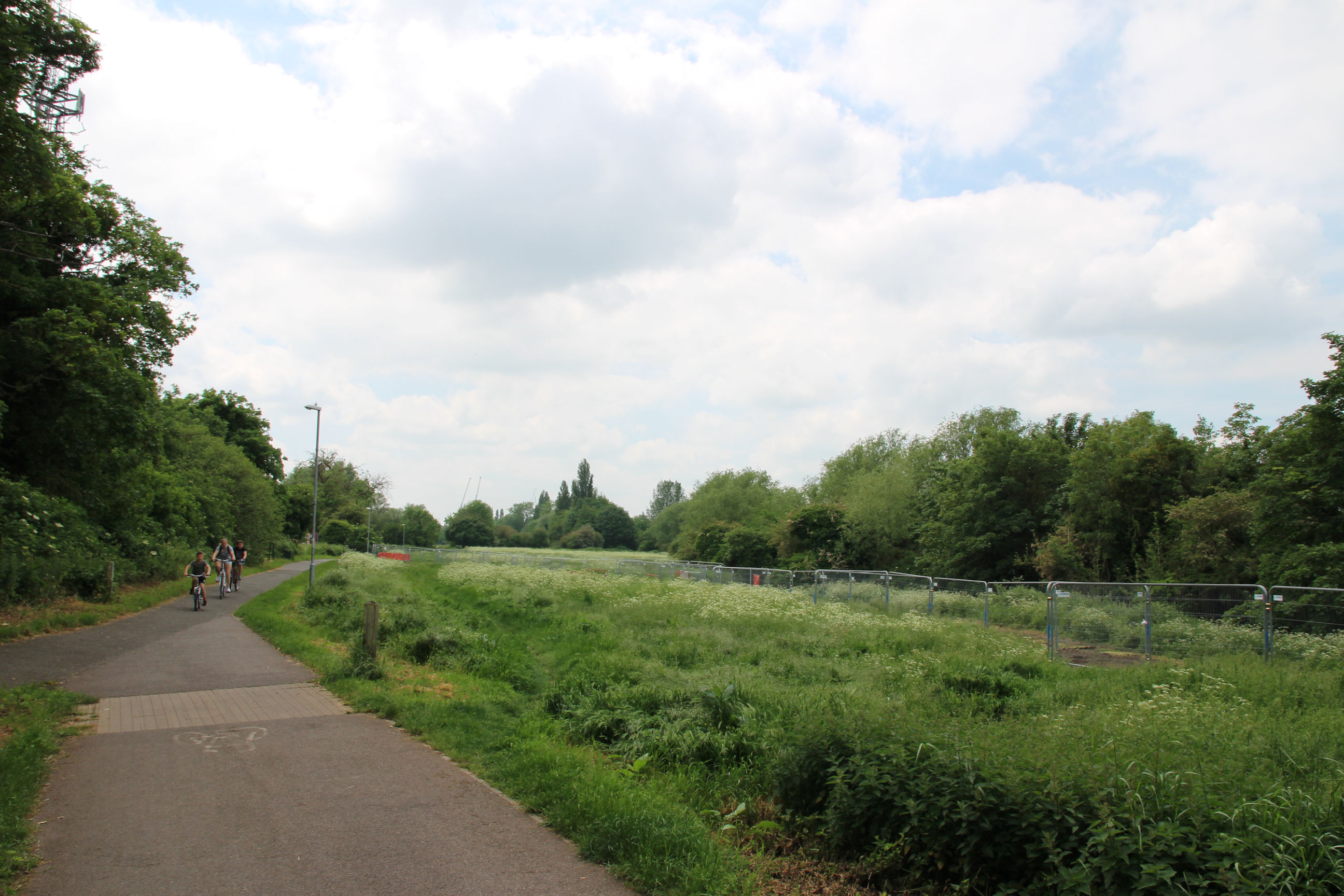
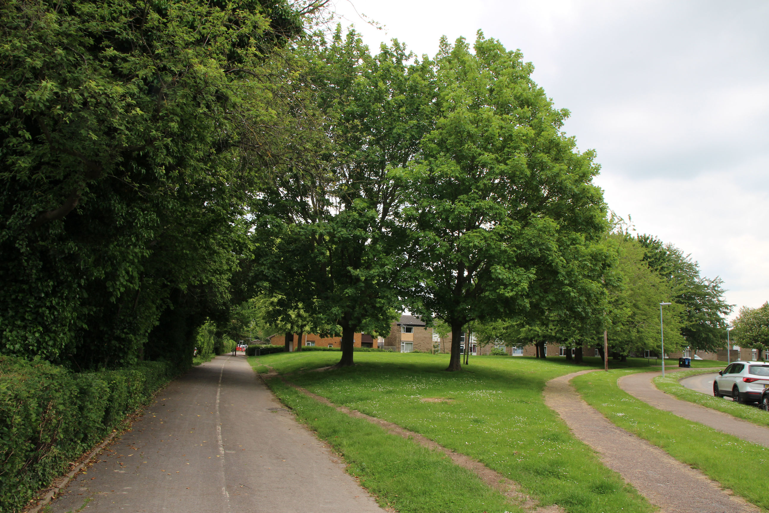
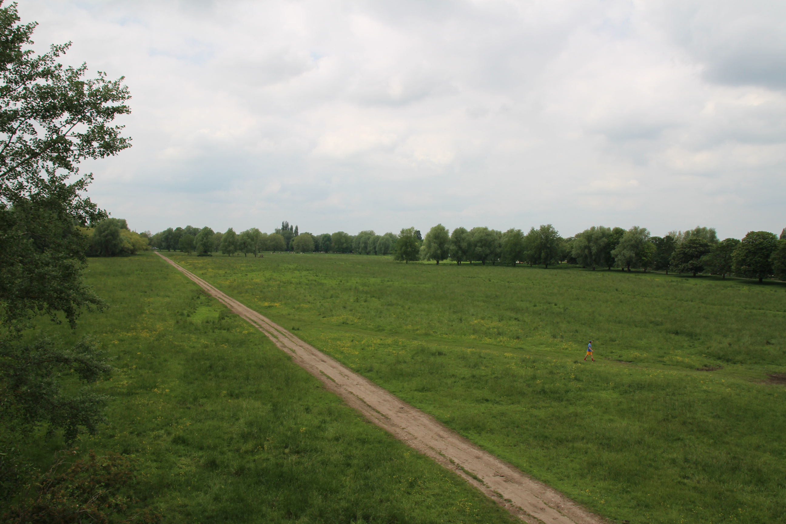
The next part of Coldham’s Common is unaffected by construction works. Abbey Stadium can be seen in the distance.
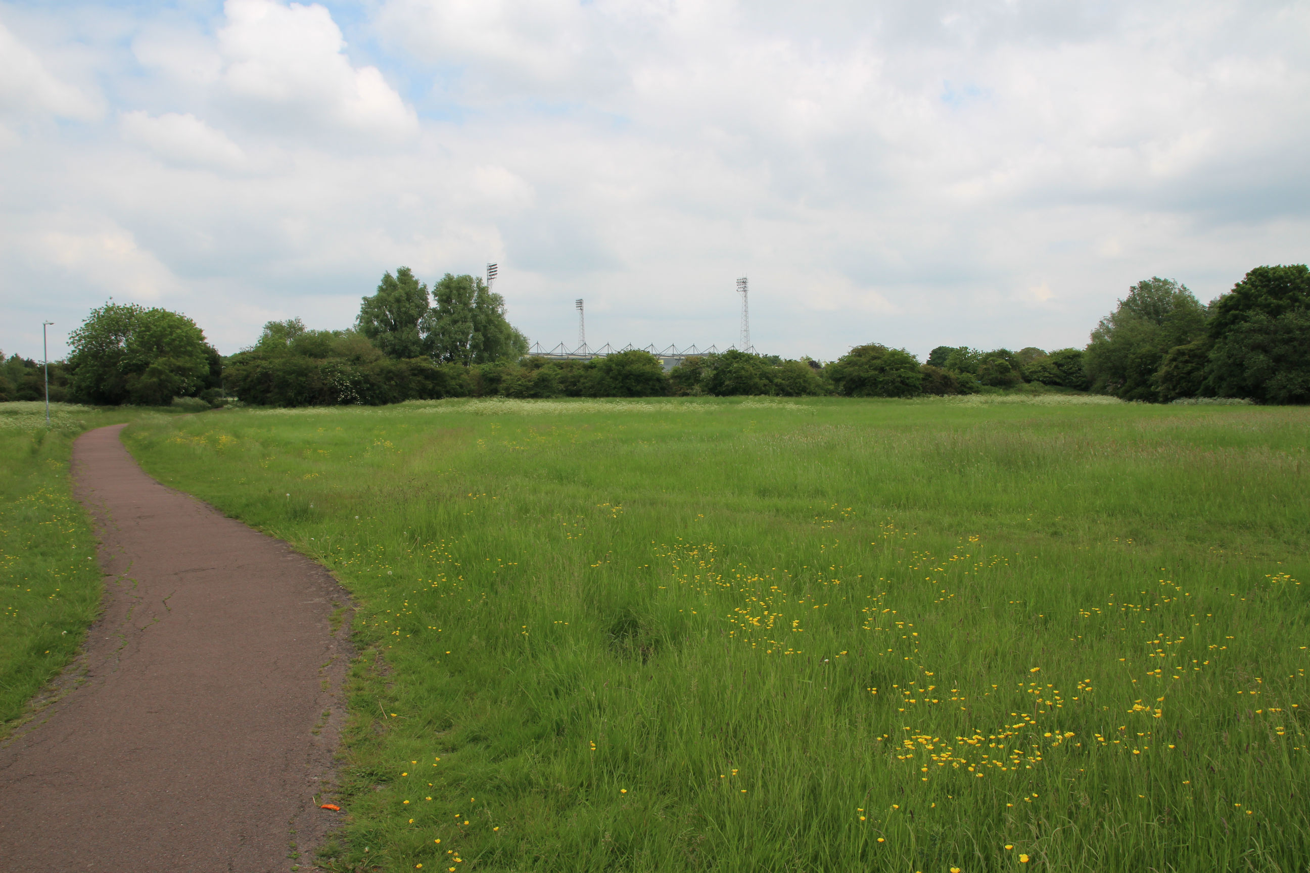
A view back in the other direction from a bit further along.
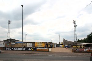
Abbey Stadium
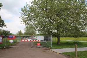
I’ve now reached the stand entrances to the Abbey Stadium. About 15 years ago there was talk of relocating this to Milton, not a popular idea with the fans, but it’s now owned by Grosvenor Estates and its future seems secure at the moment.
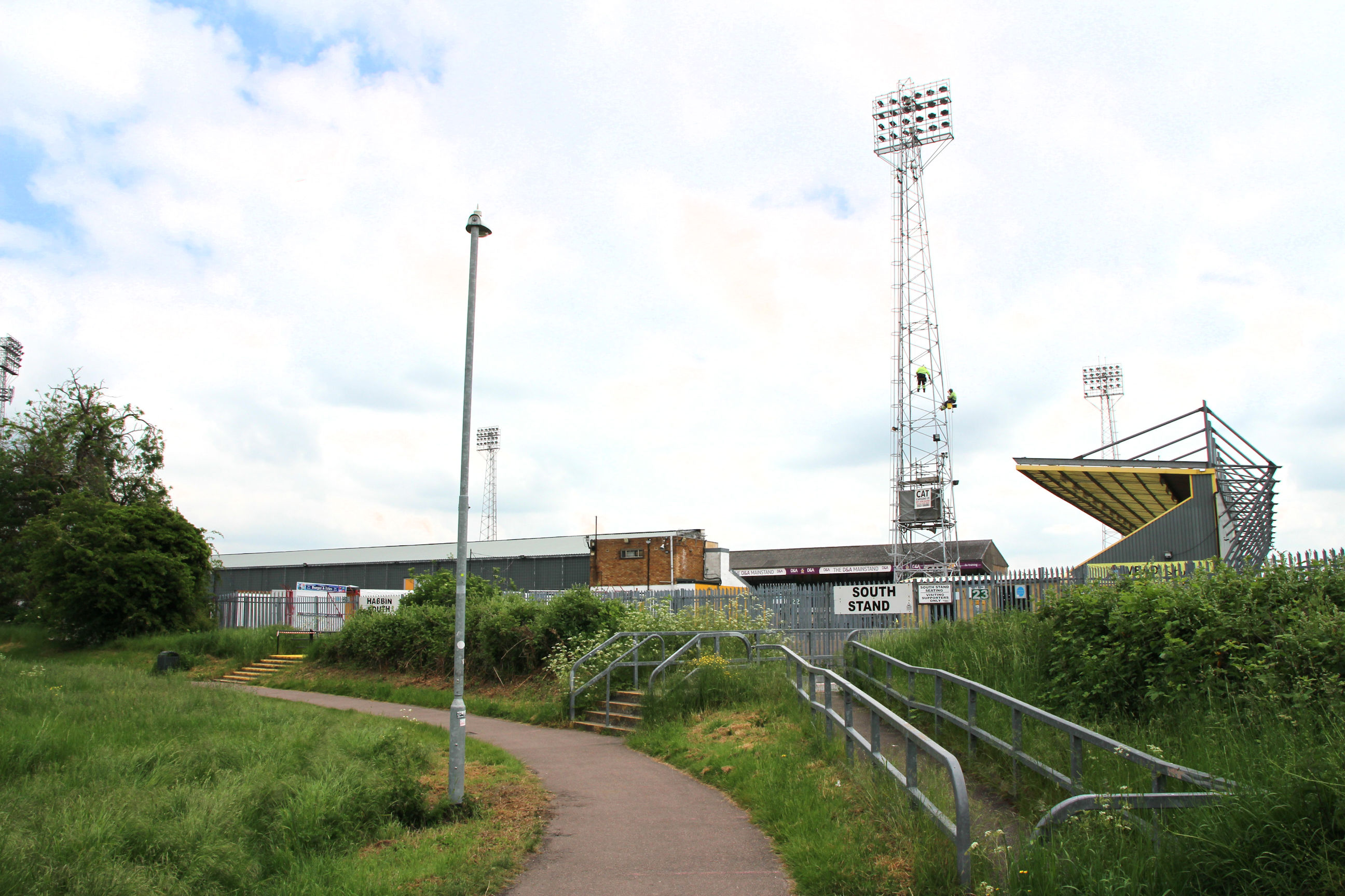
Construction work on the Chisholm Trail resumes here. The new path leads away from the stadium towards Newmarket Road where the new underpass is being built. Presumably the existing path will be retained so fans queueing to enter the stands won’t block it.
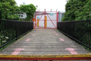
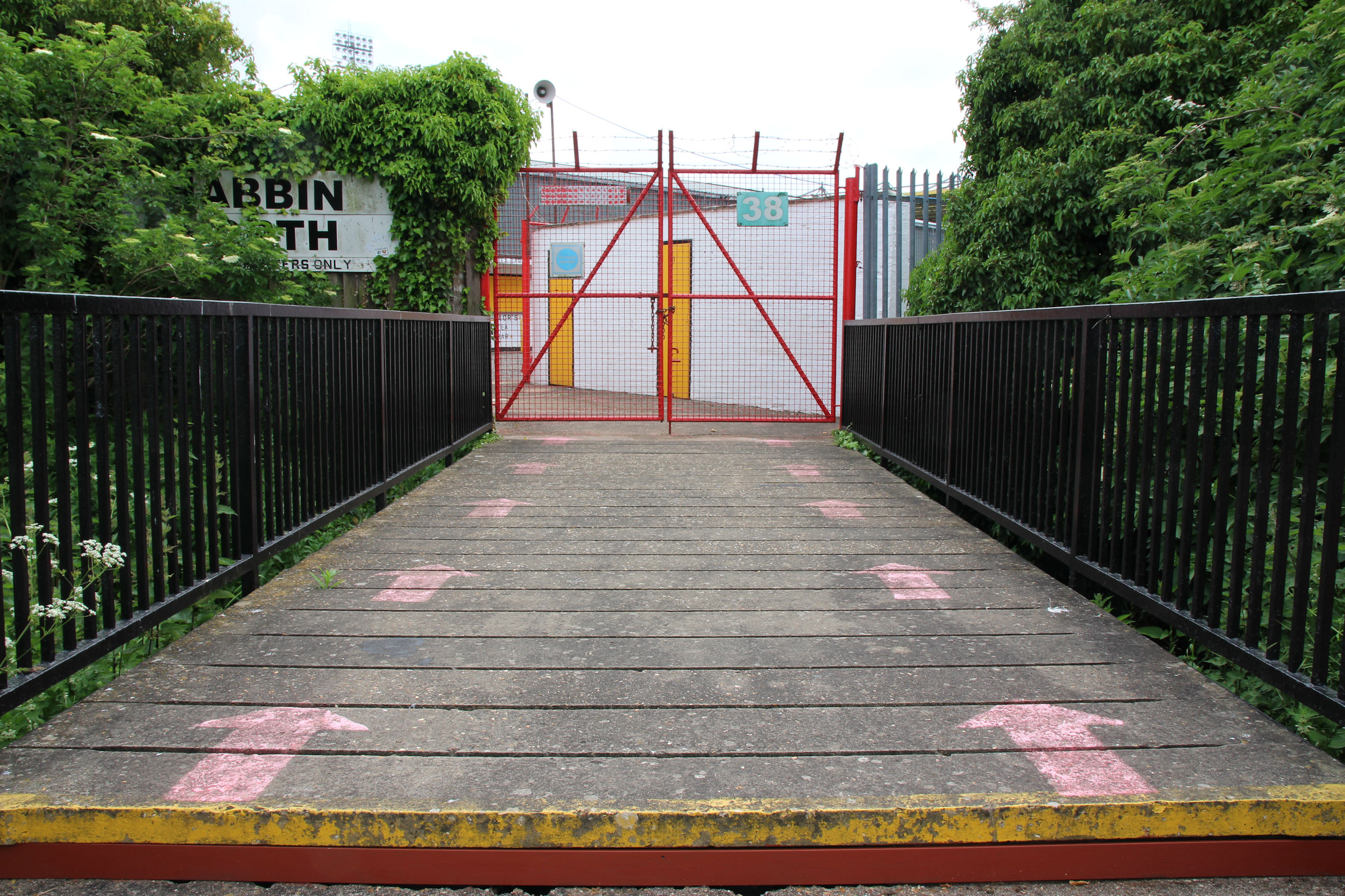
The decking in this stand entrance has social distancing arrows painted on it.
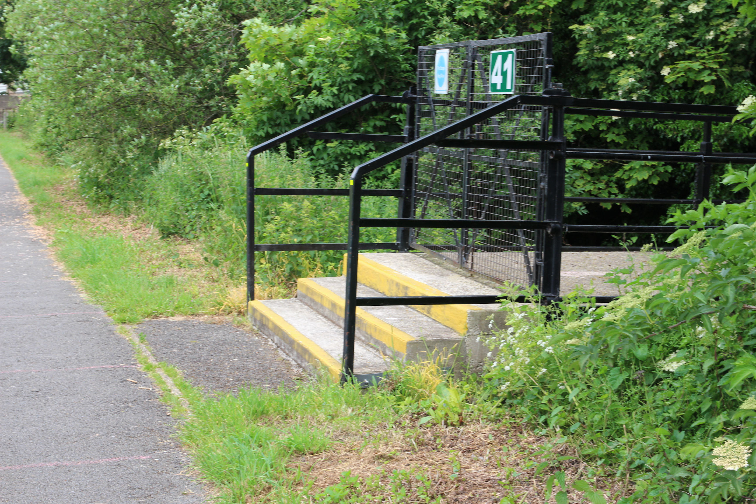
There are also social distancing lines along the path, somewhat faded now. Hopefully these won’t be needed for much longer.
This view shows Coldham’s Common from near the Newmarket Road entrance, with the new Chisholm Trail path to the right.
The main entrance to the Abbey Stadium on Newmarket Road. It has been called the “Shabby Abbey”. One reason may be that rather than being inviting, this looks like a yard that could belong to its sponsor, a well-known local skip hire company.
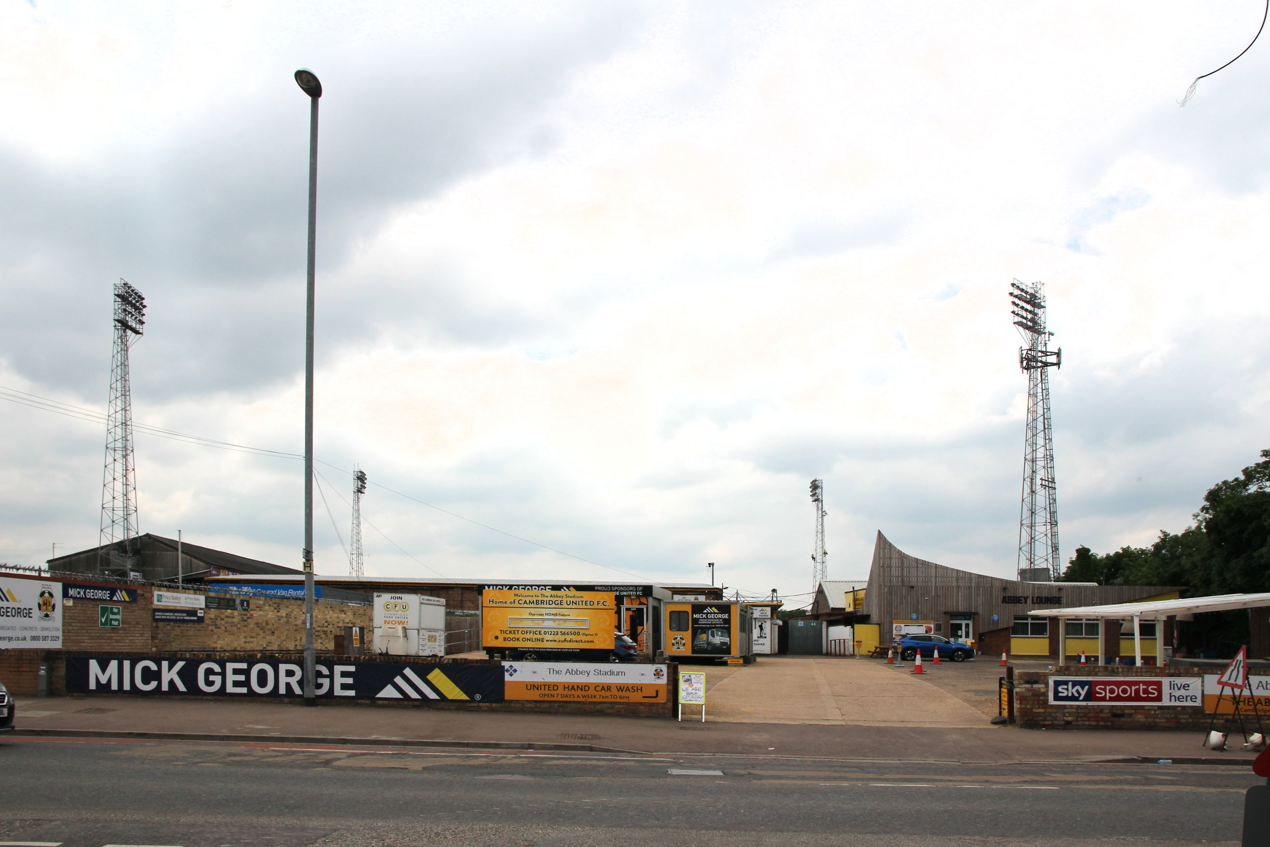
I’ve heard Cambridge United aficionados lamenting that in Cambridge football is something of a minority interest. I’m afraid I’m part of that problem. Maybe if there were more supporters they could afford to improve the facilities.
Newmarket Road
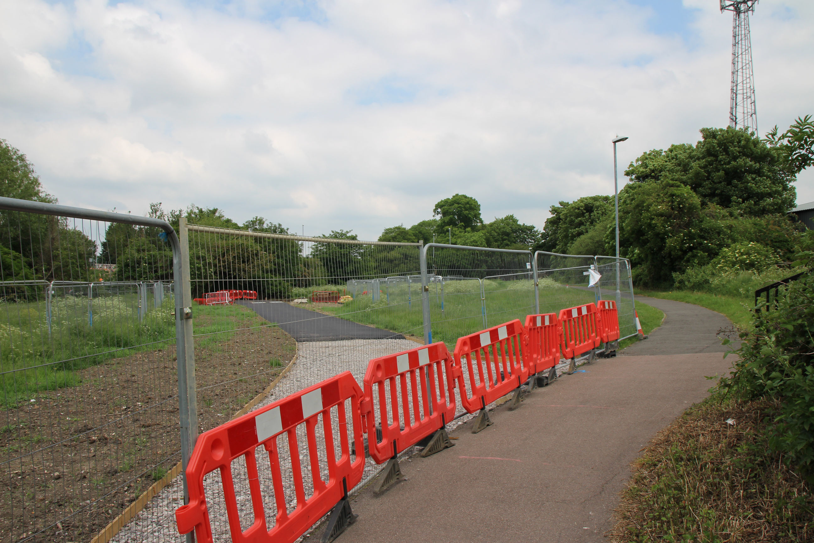
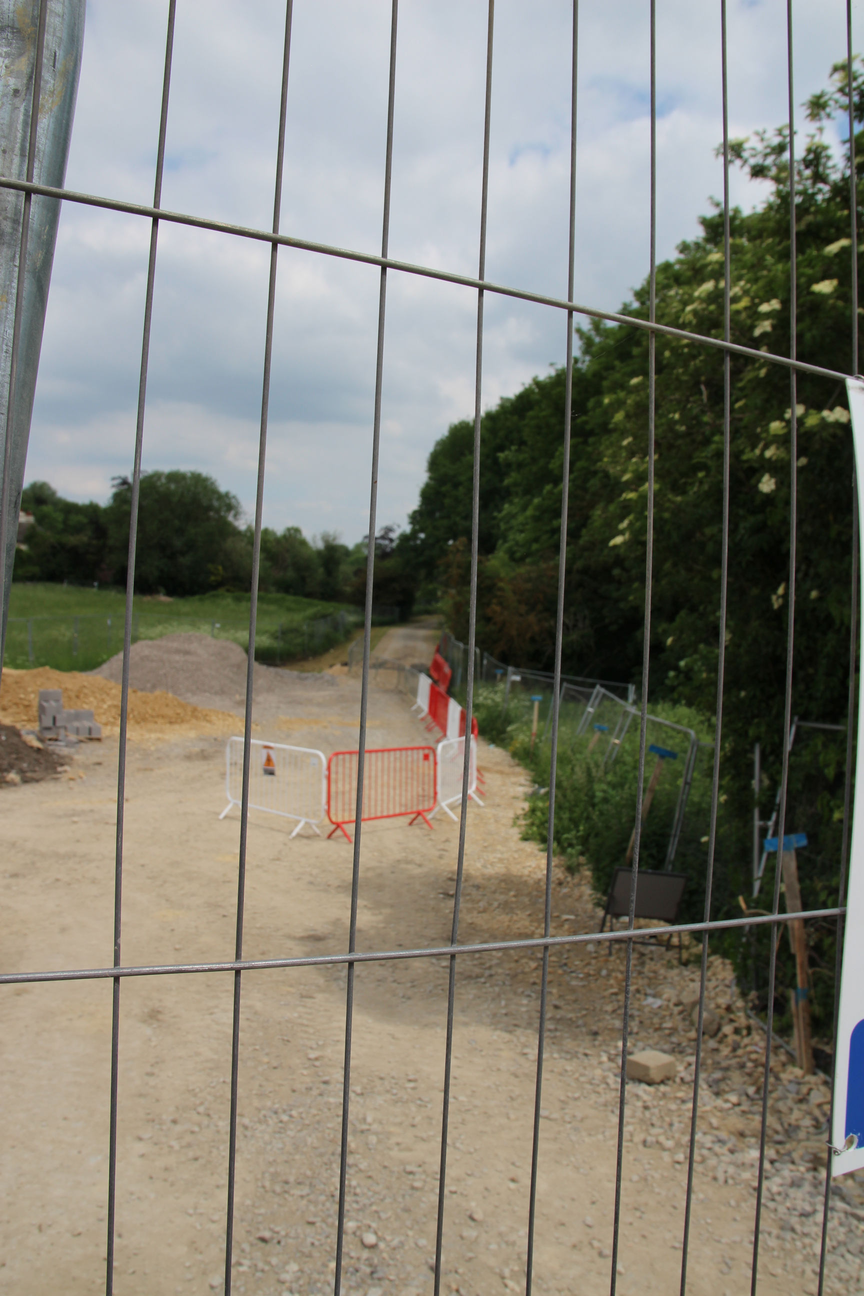
On the north side of Newmarket Road, construction of the next section of the path is underway, leading to Ditton Meadows.
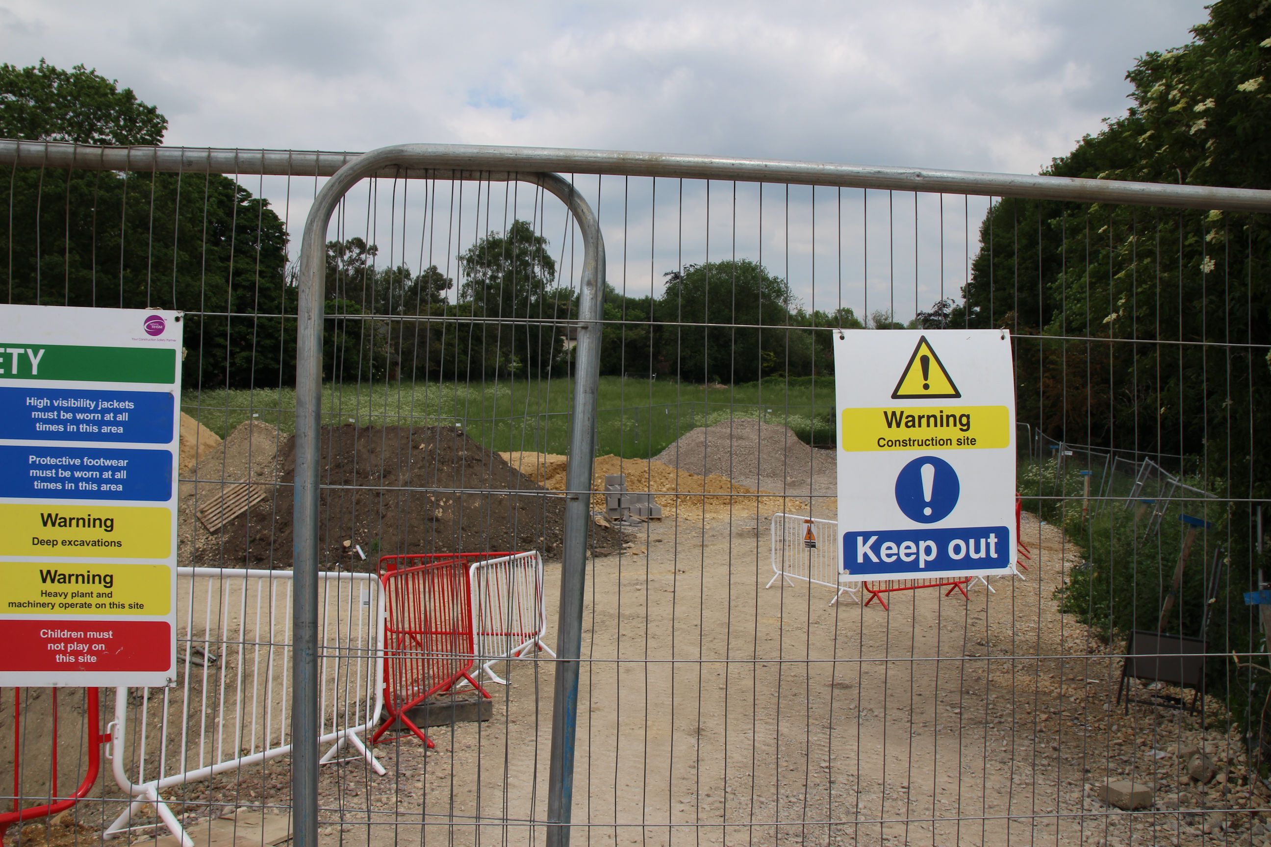
Here the path itself, hidden behind the site sign in the previous shot, can be seen.
I’m now taking a short detour from the route map along Newmarket Road and over the railway bridge.
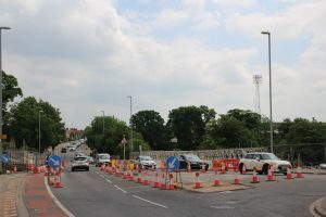
A new underpass is being constructed under Newmarket Road near the railway bridge, so cyclists and pedestrians on the Chisholm Trail won’t have to use the pelican crossing by the Abbey Stadium. Newmarket Road has been closed a few times for work on this, but is open today. Bundles of utility ducts hang suspended in the air.
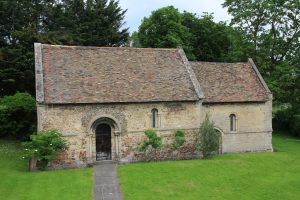
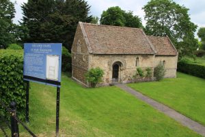
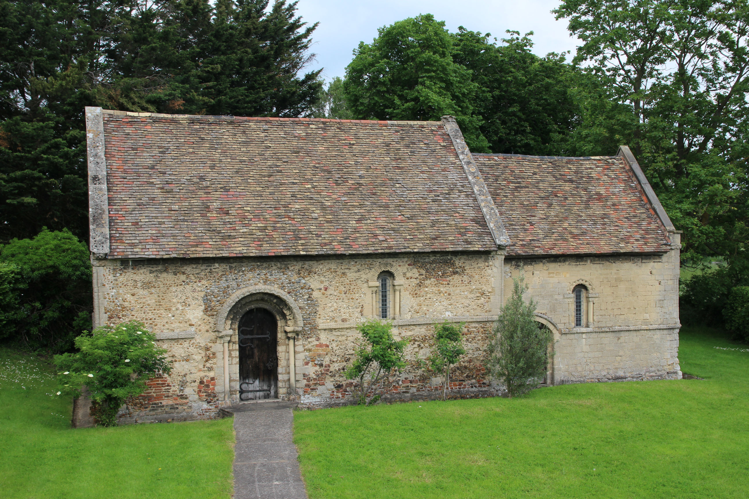
Nearby is the Leper Chapel of St Mary Magdalene.

Here’s a closer view of it.
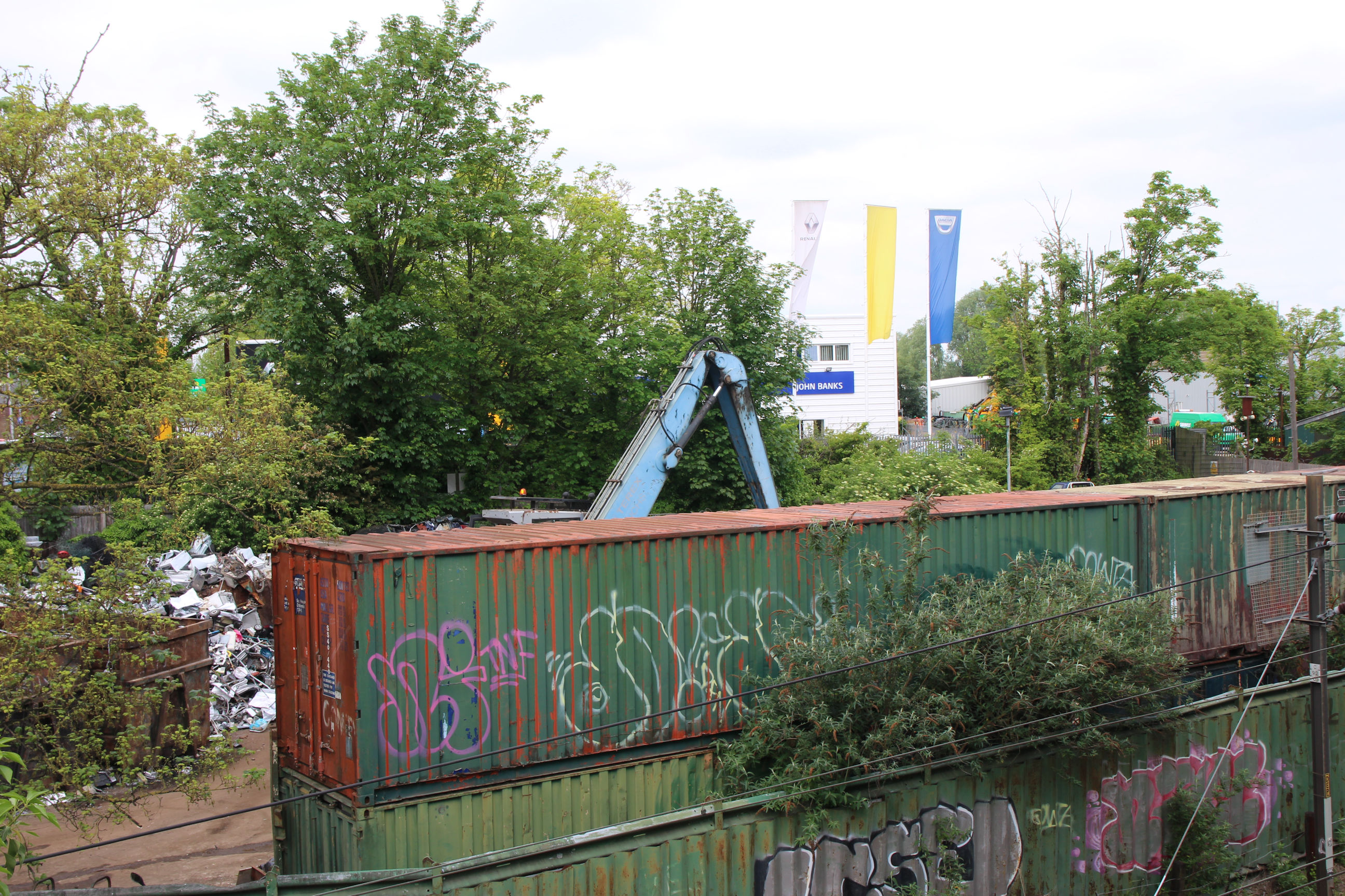
I’m surprised to find the scrapyard is still here. Many industrial sites like this have moved to cheaper land further out of town.
I’m now crossing back over the railway to the east side to continue on the route.

Ditton Walk
Ditton Walk isn’t part of the ultimate Chisholm Trail route, but is part of the existing route to get to Ditton Meadows from here.
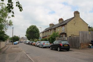
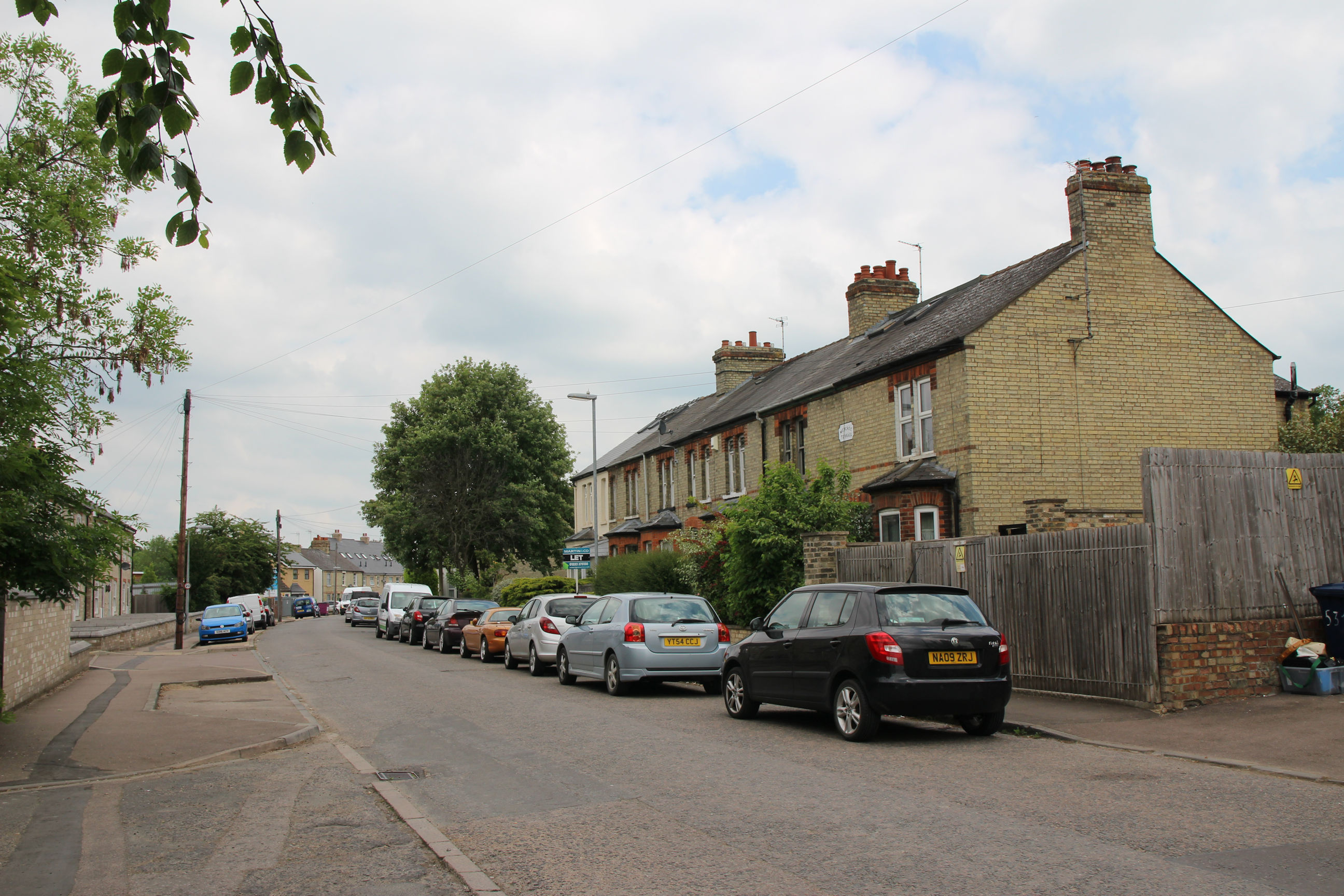
On the east side of Ditton Walk there are Victorian terraced houses.
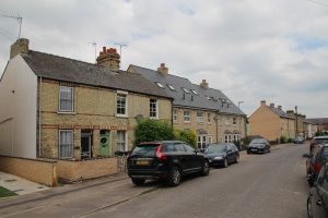
On the west side of Ditton Walk there are Victorian terraced houses. Well not quite. These are recently built, in a Victorian style. I’ve featured this stretch of Ditton Walk because it contains three styles of “21st Century Victorian” house all within sight of each other.
They can also be found scattered around parts of Romsey, for example Malta Road. These “infill” houses tend to blend in better in Victorian streets than those built in the 1960s and 1970s, when they just built whatever was “modern” at the time.
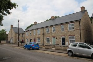
Here are the other two styles, between some originals.

Here are the ones in the distance in the previous photo. A lot of them are built with rooms in the attic from the outset, avoiding the need for loft conversions later. Can you spot the ‘mistake’? Original Victorian terraces would always have their chimneys window-side rather than door-side, whether all houses are the same way round like these or alternating left-hand and right-hand, which is more common.
At the end of Ditton Walk there’s a foot/cycle path. The existing narrow path to Ditton Meadows leads off to the left. Wadloes Road curves round to the right.
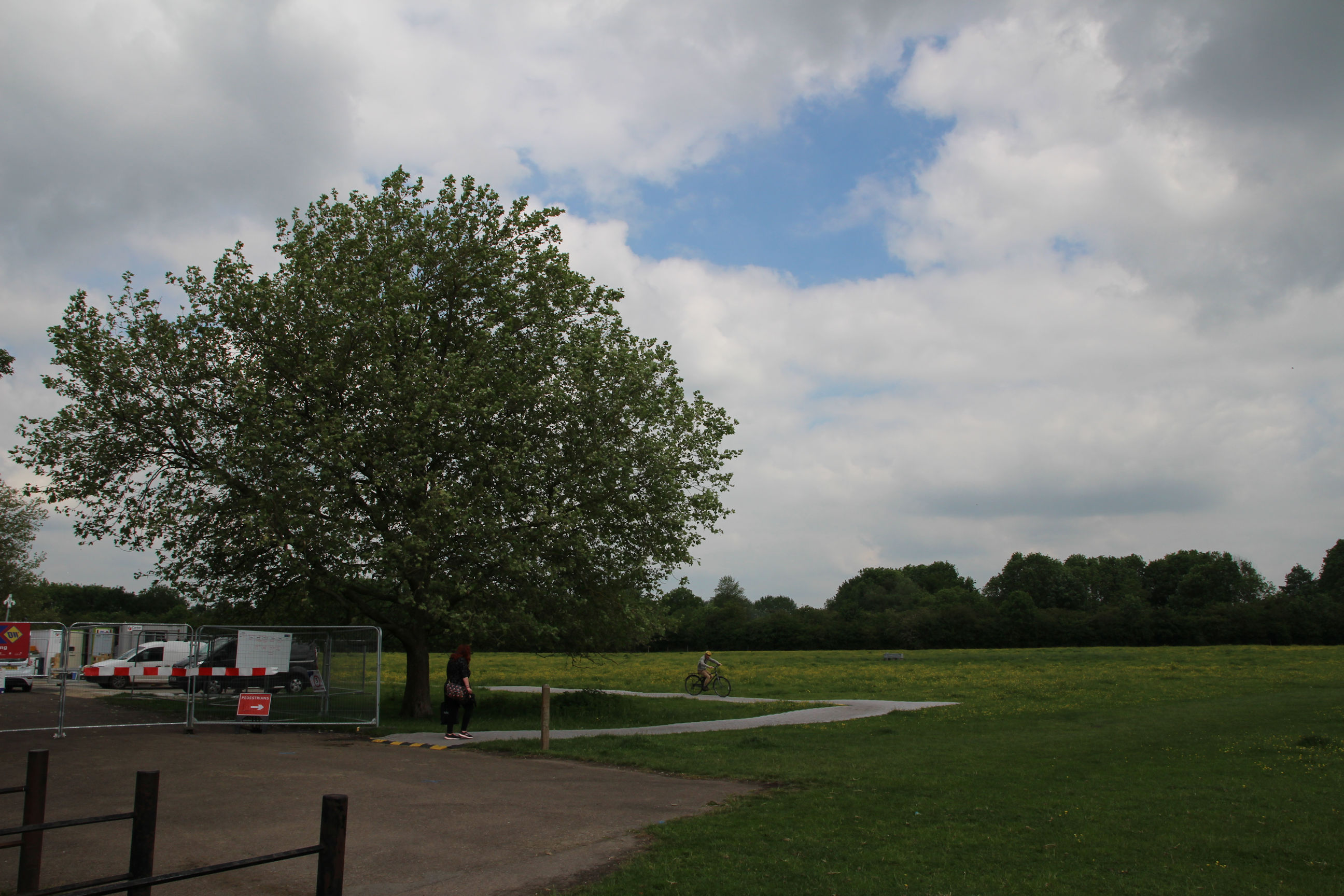
Ditton Meadows
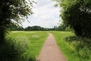
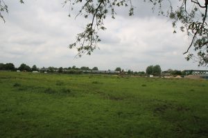
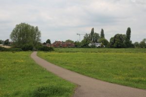
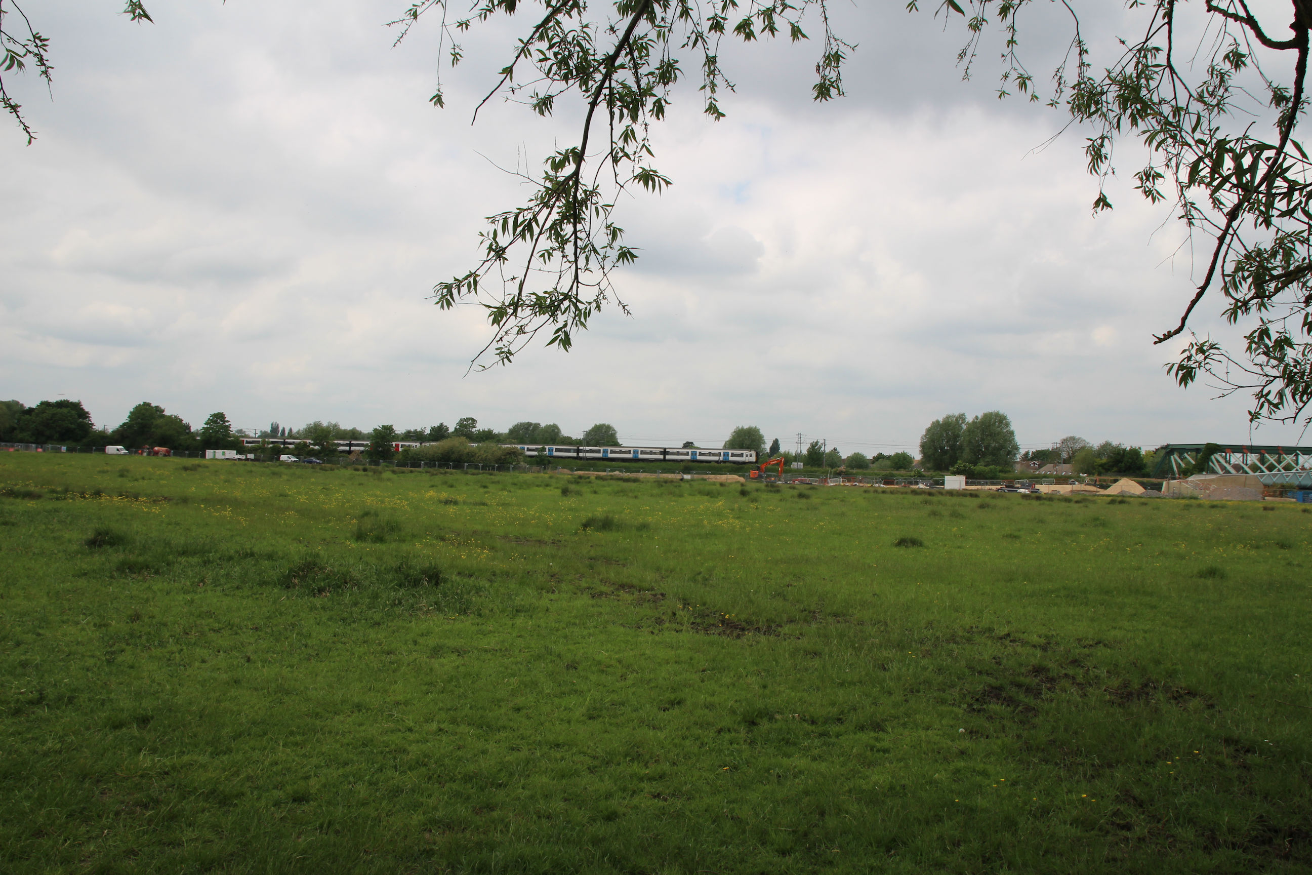
A view across Ditton Meadows from near the entrance.

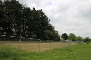
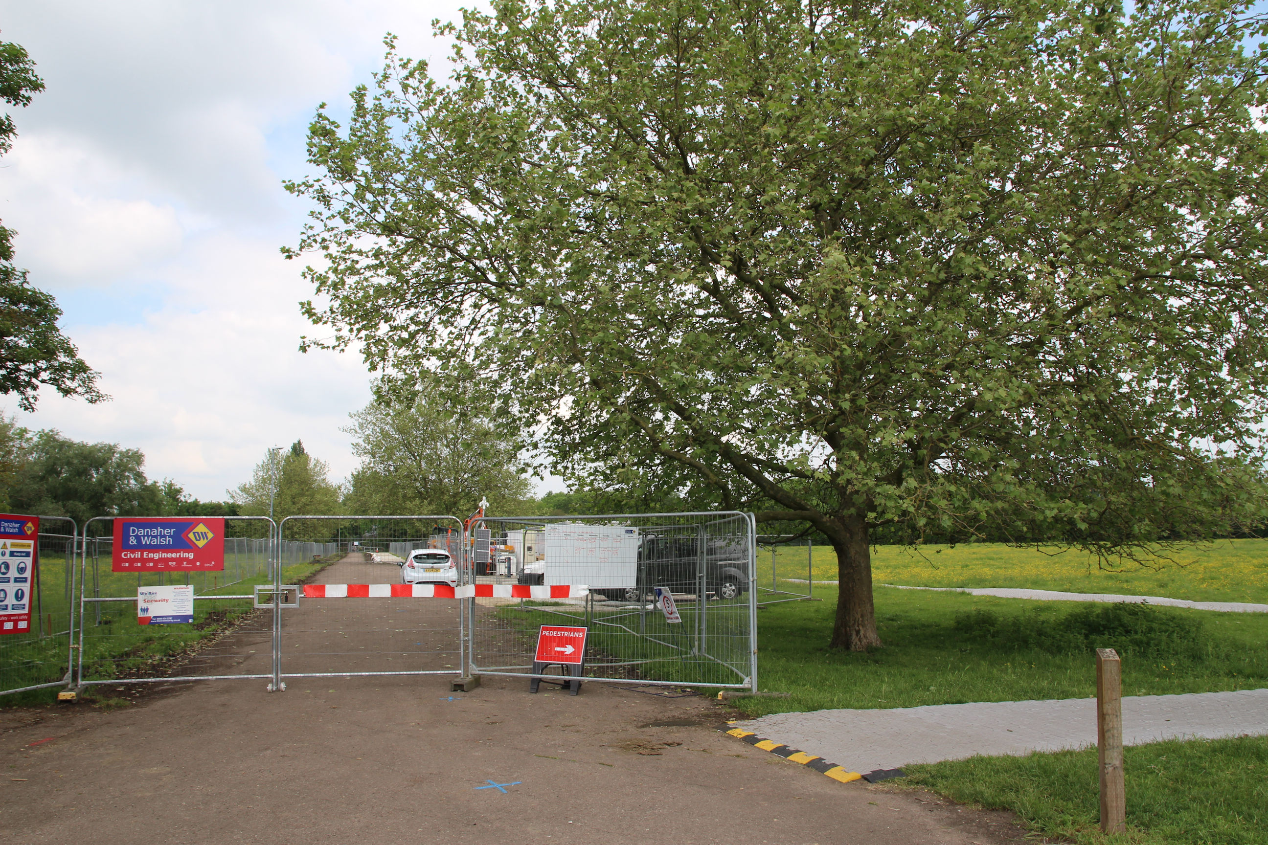
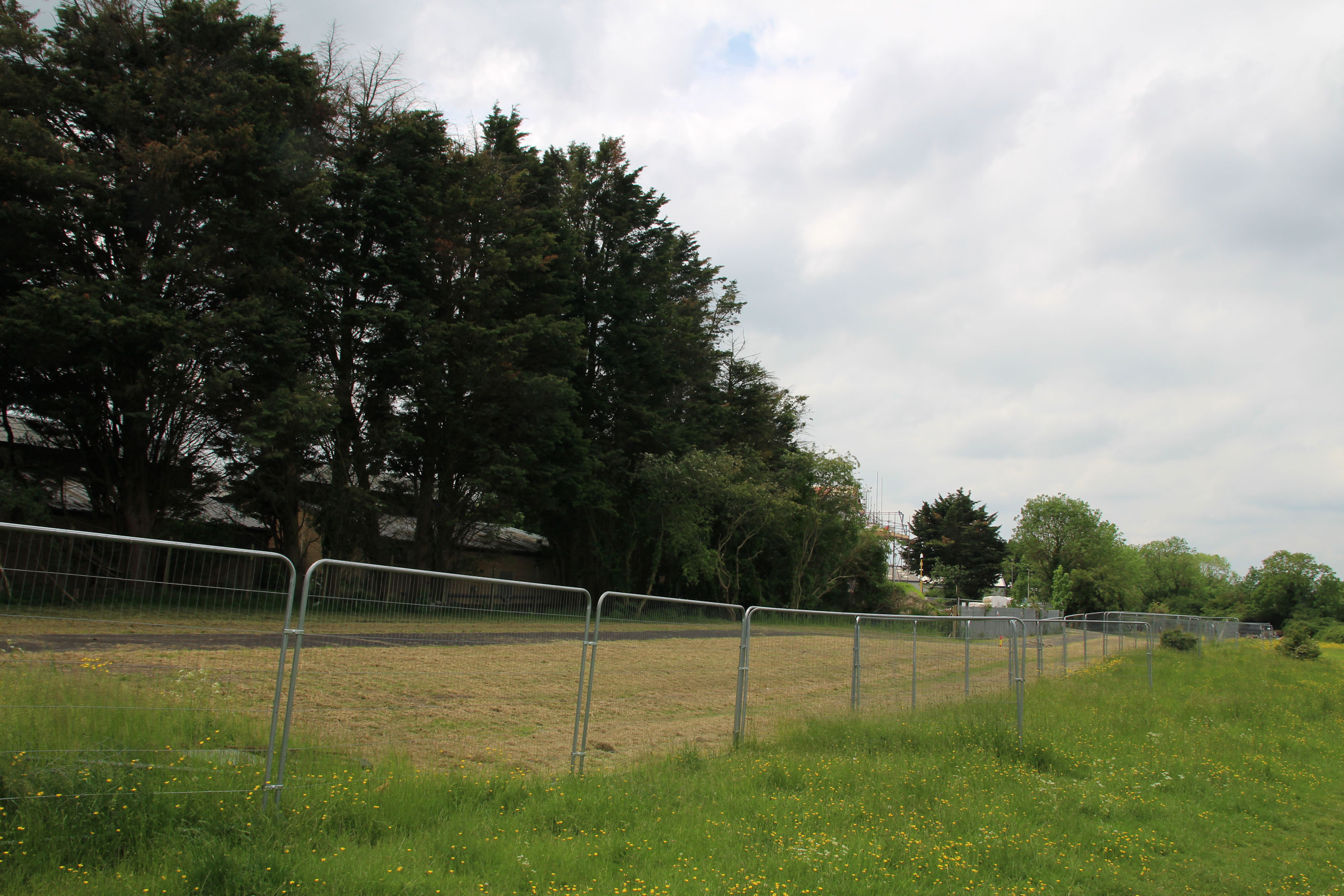
The existing footpath heading west along the south side of Ditton Meadows from the Ditton Walk entrance is currently fenced off.
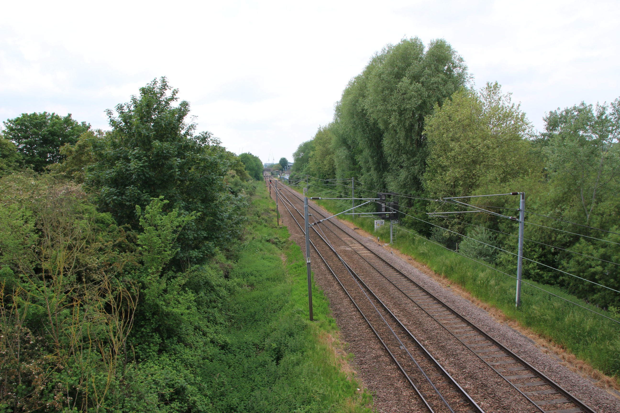
The Chisholm Trail runs along the east side of the railway here, towards the Cam and the new foot/cycle bridge that is already in place in front of the railway bridge on the far right.
A train is passing here – one of the old Class 317s. They’ve been around since my mid-1980s student days but are finally due to be scrapped next year. The new trains are more energy-efficient and have aircon, power sockets and wi-fi – not to mention septic tanks to “end Platform No.2’s“! The 317s aren’t iconic like the recently departed Intercity 125s, but have been part of life here for so long it’ll still be sad to see them go.
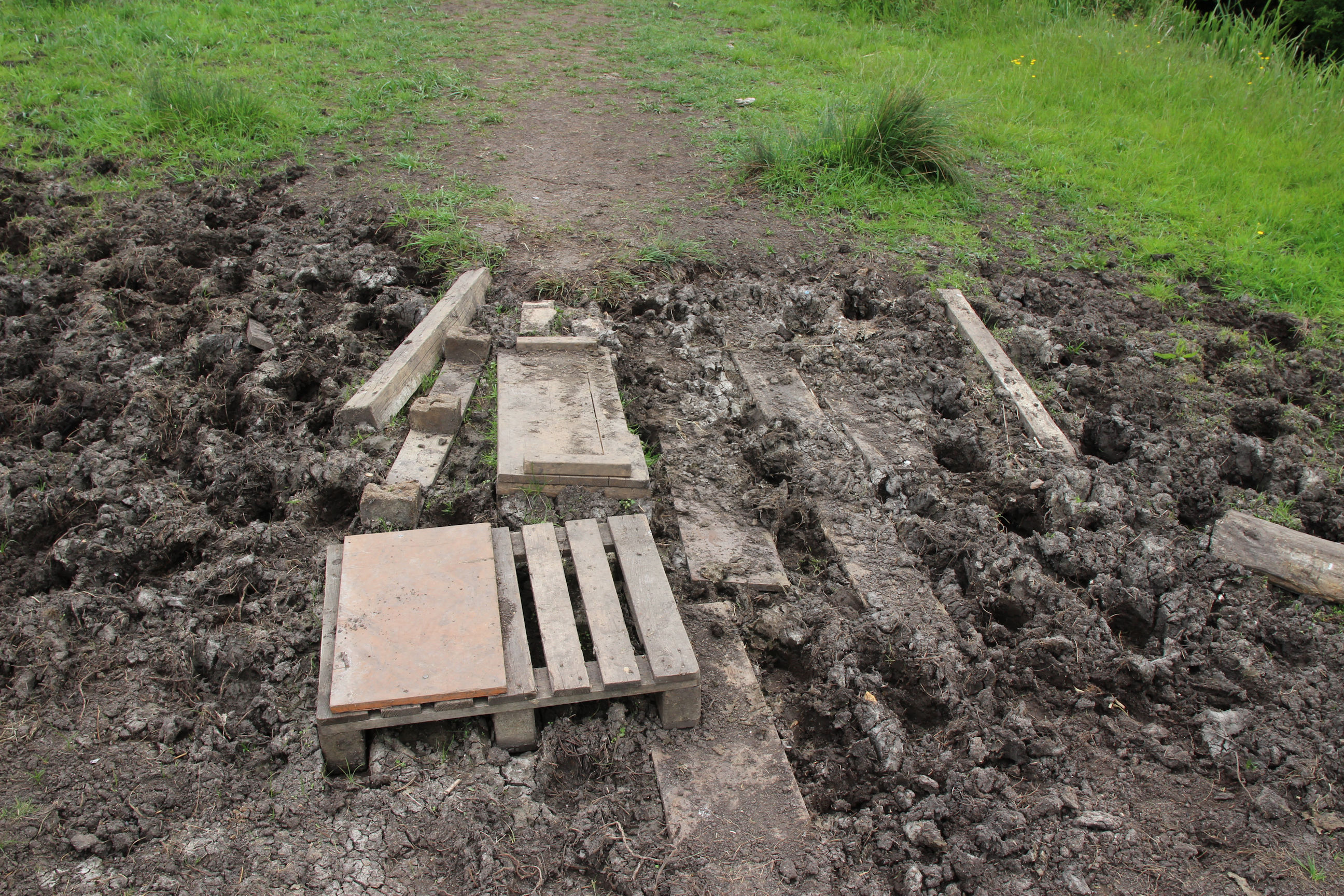
Here someone has improvised some stepping stones to cross a muddy bit.
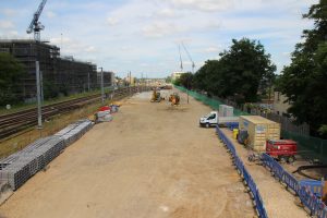
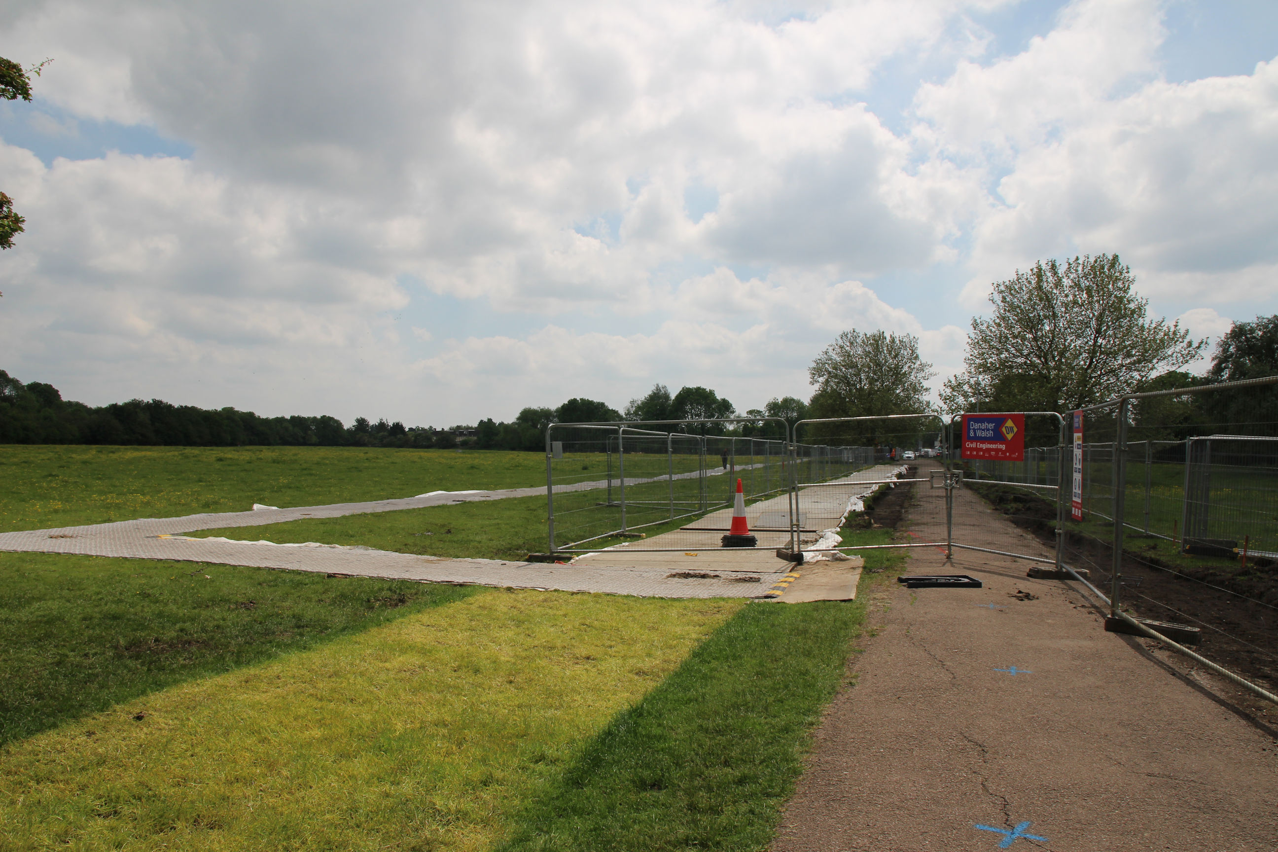
Back to the Chisholm Trail construction, here looking south towards Newmarket Road.
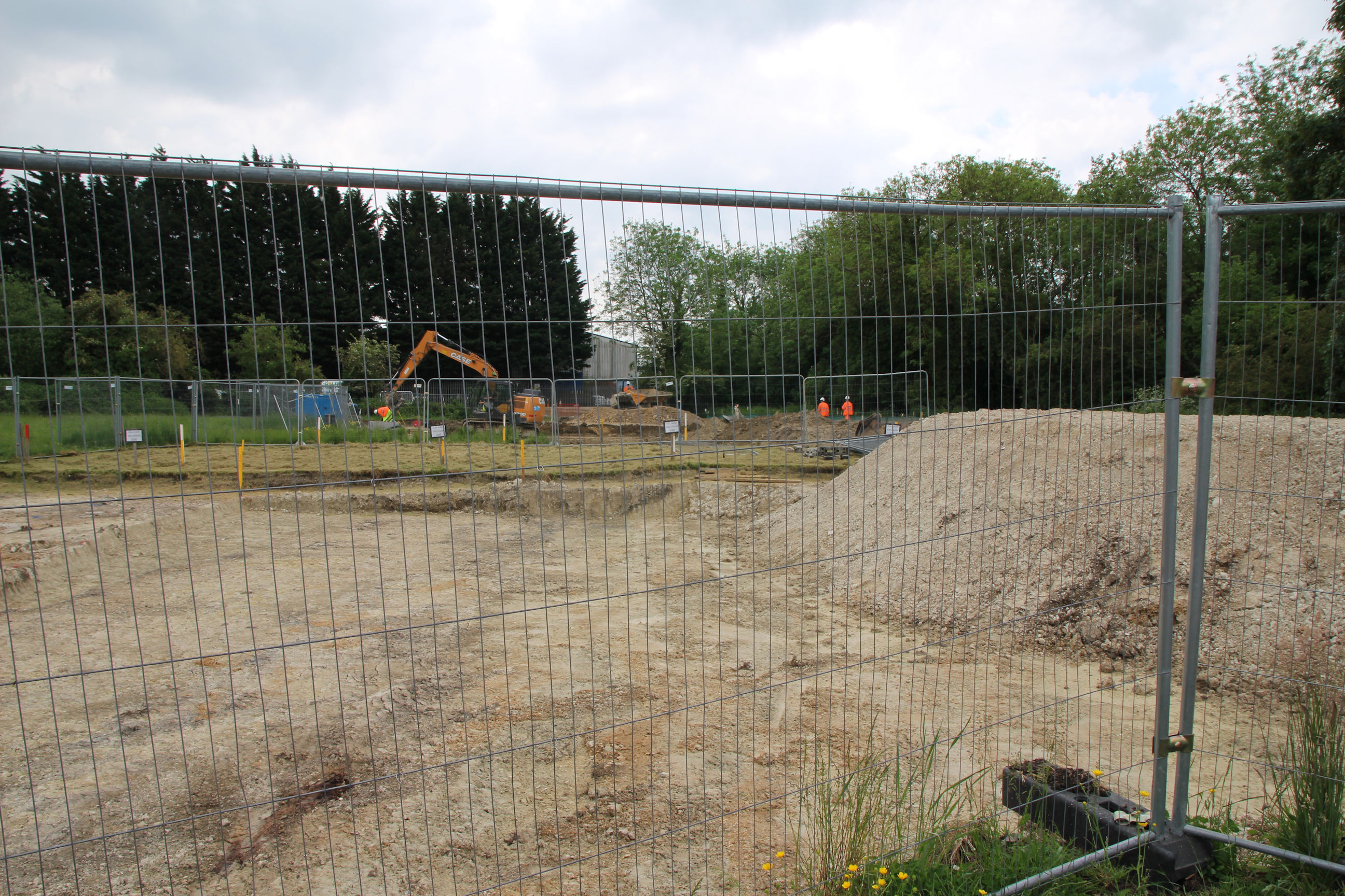
This appears to be the actual route it will take.
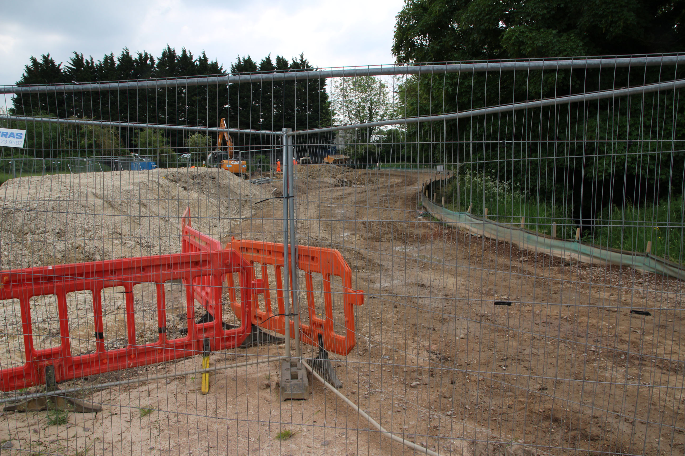
From the same location, here’s the construction site looking north towards the Cam.
And the trail route looking north.
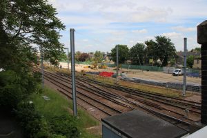
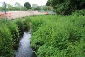
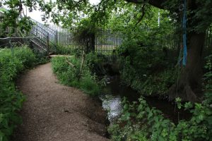
I’ve now reached Coldham’s Brook. The brook is a subject for another walk, from Cherry Hinton to here. The trail construction can be seen behind it.

The brook passes through a culvert under the railway onto Stourbridge Common, across which it flows to the Cam. The railway footbridge steps are to the left. I’ll end my walk on this footbridge since there’s no convenient path to the new bridge across the Cam from here yet.

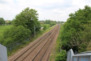
The stretch of railway looking south from here is tree-lined and rather featureless. This shot would be more interesting if I waited for another train, but I haven’t got all day.
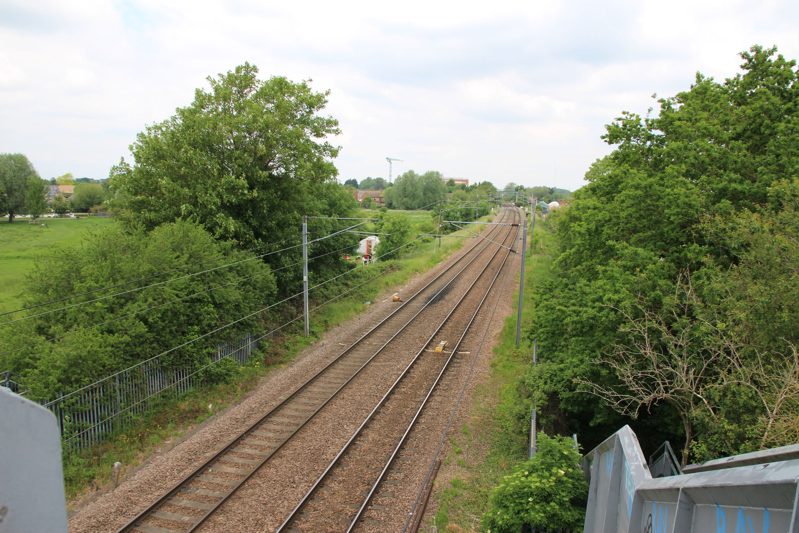
The view towards Cambridge North station has Stourbridge Common on the left.
Finally a view across Stourbridge Common from the footbridge.
I actually completed this walk by crossing here to Garlic Row, then returning along Newmarket Road to the Abbey Stadium, but I’ll cover Stourbridge Common another time.