Photographed on 20th July 2021.
Introduction
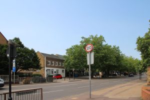
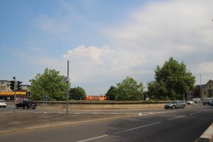
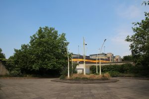
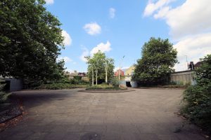
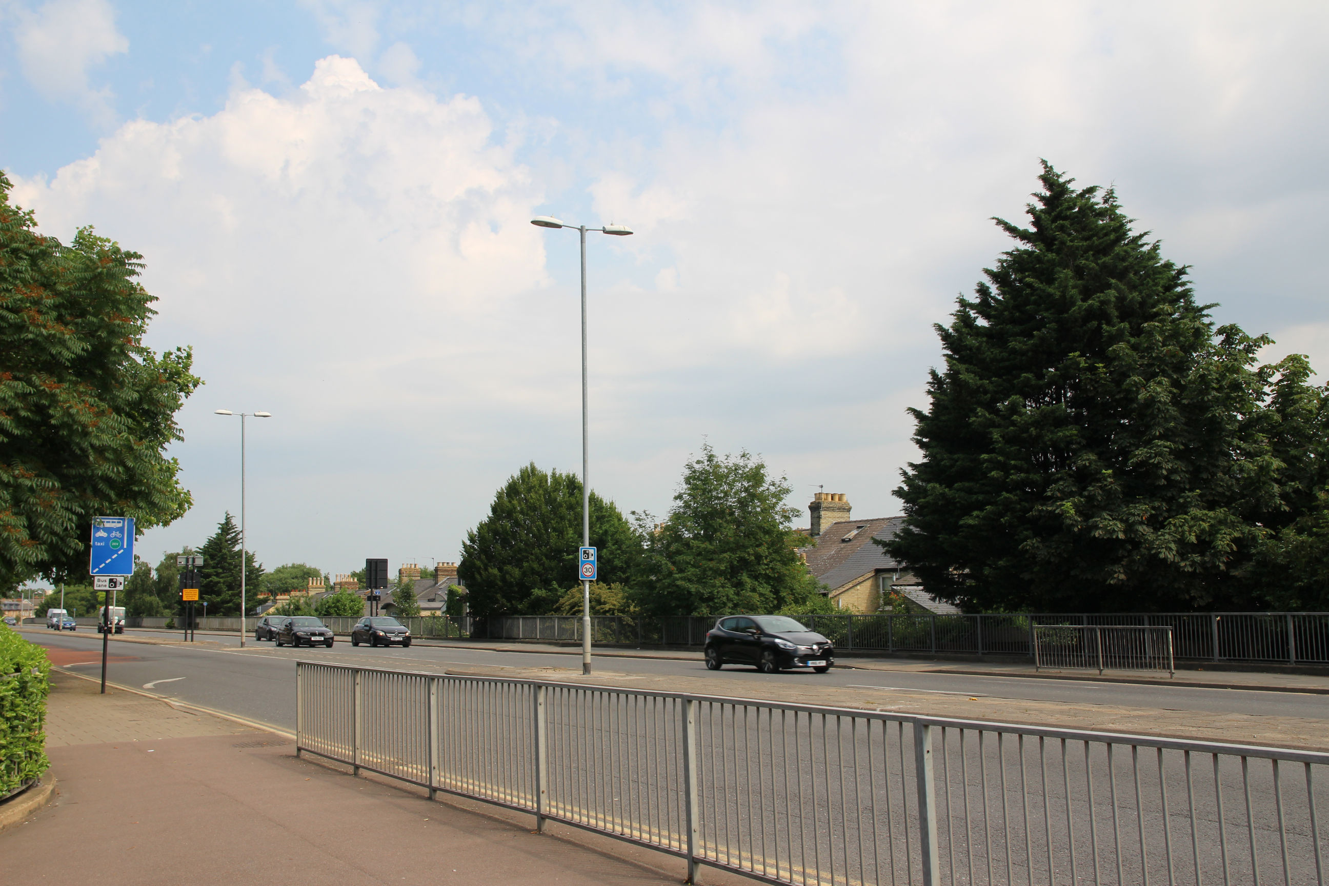
The Elizabeth Way bridge over the River Cam and the roundabout to the south of it opened in 1971. The roundabout has a sunken courtyard containing trees and shrubs, with underpasses entering it from all four corners. The walls of these are decorated with murals themed according to the area beyond the roundabout in that direction:
The roundabout has been nicknamed the “Bull Ring”, and suggestions have been made from time to time about altering it, ranging from building a cafe in the centre of the courtyard to filling it in and replacing it with a box junction and pelican crossings, like at the Parkside end of East Road.
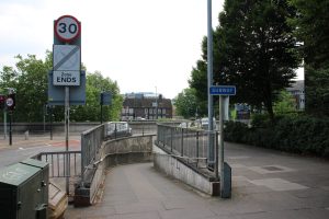
Update 08/01/2022 – The Greater Cambridge Partnership has undertaken consultation on a Cambridge Eastern Access scheme for transport improvements along Newmarket Road. This includes two possibilities for the Elizabeth Way Roundabout: option E1 to replace it with a level roundabout with cycle lanes and crossings, more like the Queen Edith’s Way ‘Dutch-style’ one, and option E2 to replace it with a crossroads. In either case the courtyard and underpasses will be filled in and the murals will be lost.


Map
The yellow beacons show the locations of the murals.
Murals
Following the creation of the Galleries section of the website, the murals are now described on their own Elizabeth Way Murals Gallery page. This page remains as a time capsule illustration of their setting.
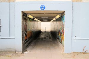
Central Courtyard
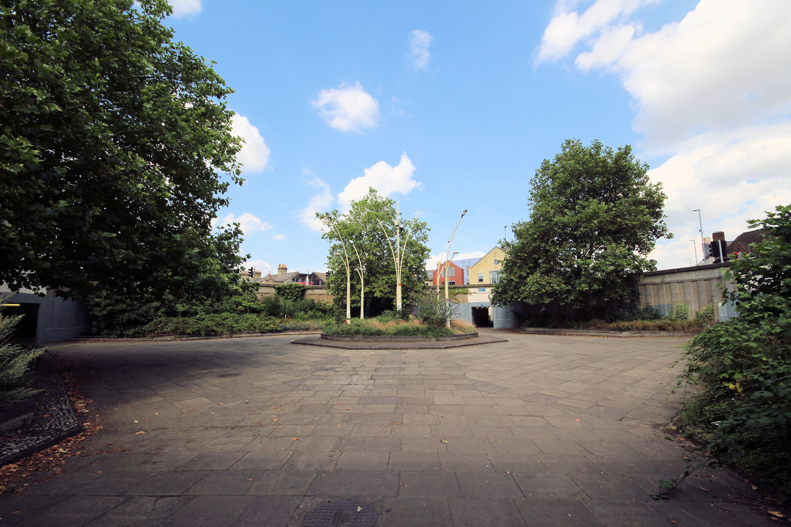
The four underpasses all lead into this central courtyard. This is a wide-angle view across it from the southwest entrance, showing the other three entrances.
The view across the courtyard towards the northwest entrance. The yellow National Auto Care signage makes it easy to get your bearings – the exits aren’t signposted now, although I think they were in the past.
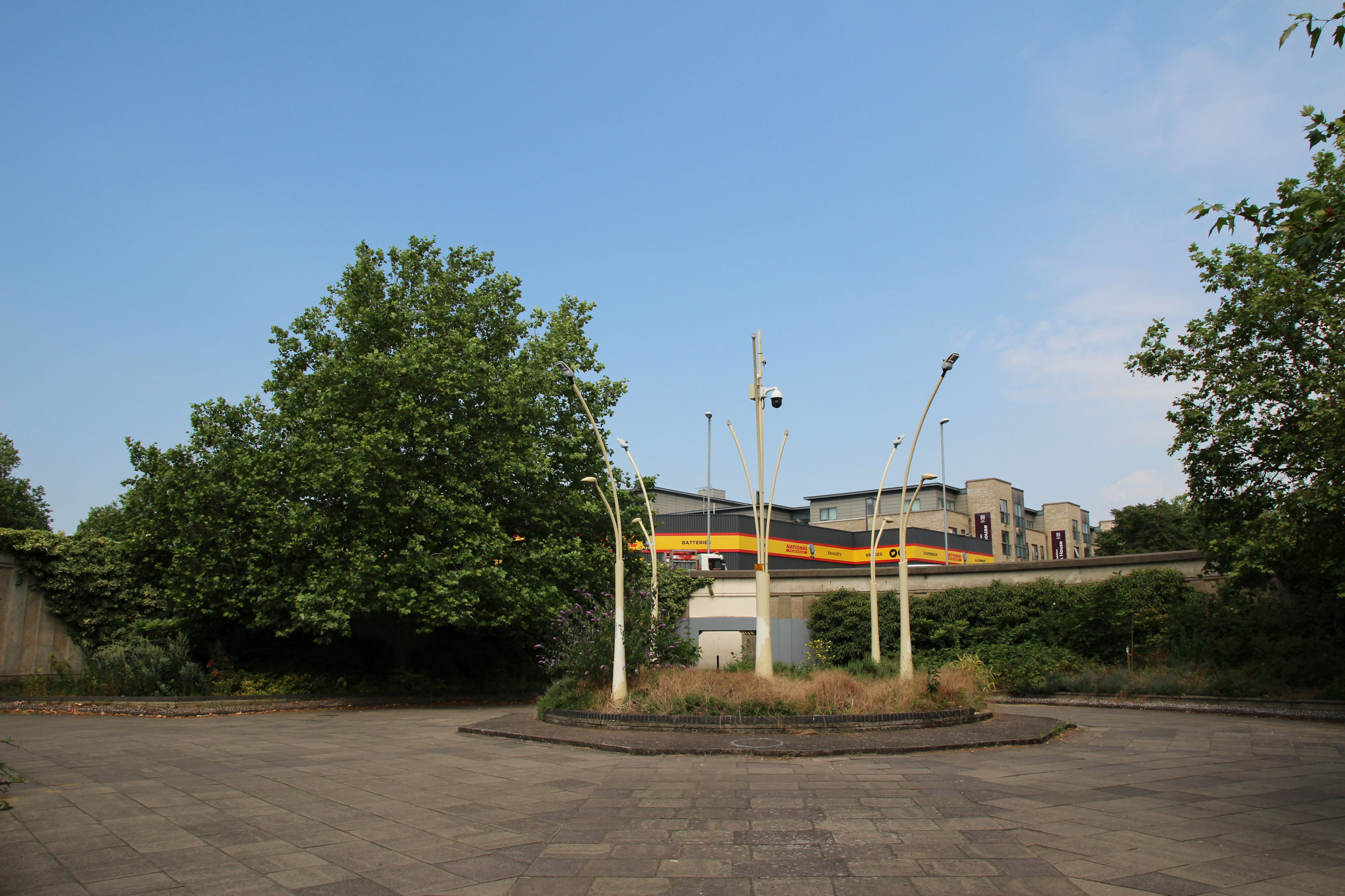
The central flower bed contains curved lamps and what appears to be a CCTV camera providing all-round coverage. A section of the edging blocks is missing.
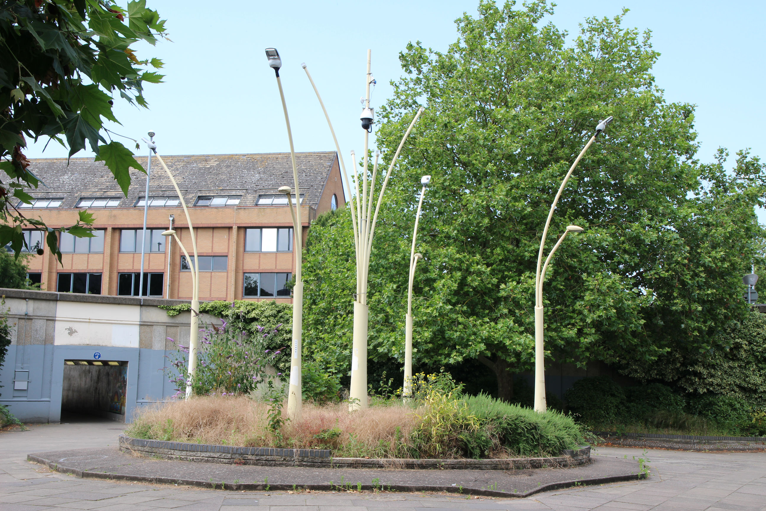
In the side flower beds there are mature trees, shrubs and smaller plants including buddleia and lavender. This may not be the most immaculately maintained area – it’s a bit overgrown and there are piles of dead leaves down here although it’s July – but I’ve seen far worse, and COVID probably hasn’t helped.
Northeast Corner
This exits to the east side of Elizabeth Way and the north side of Newmarket Road.
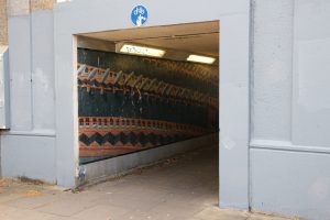
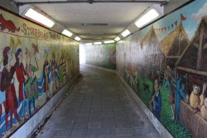
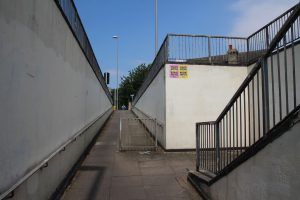
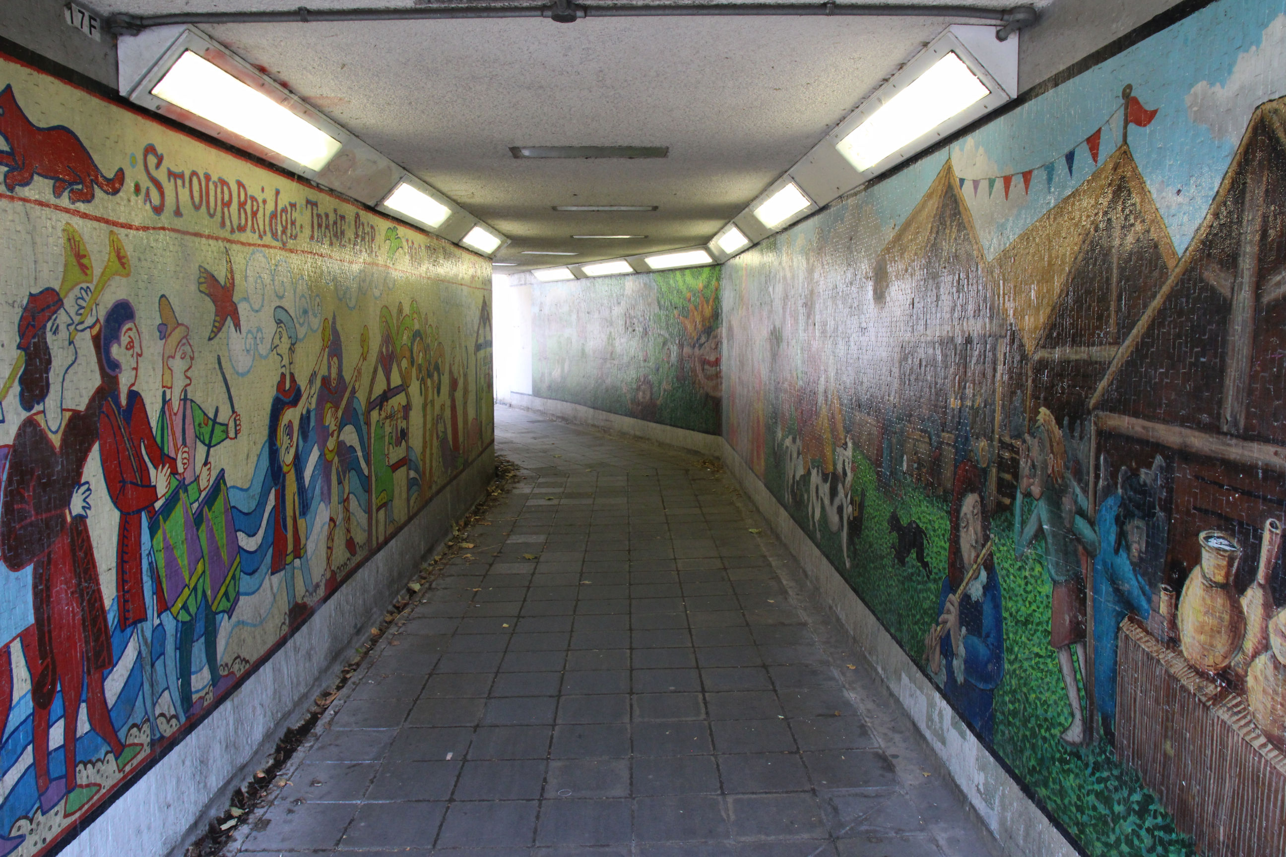
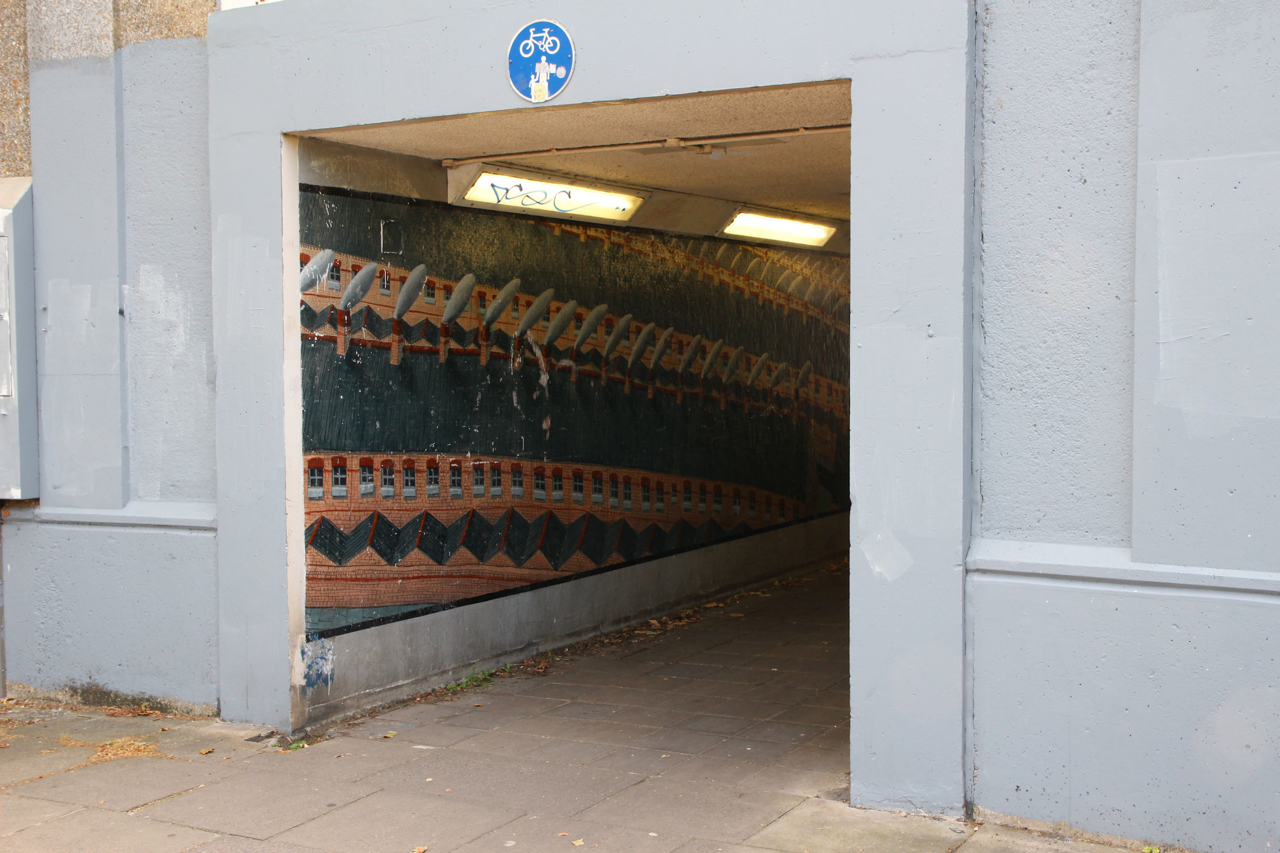
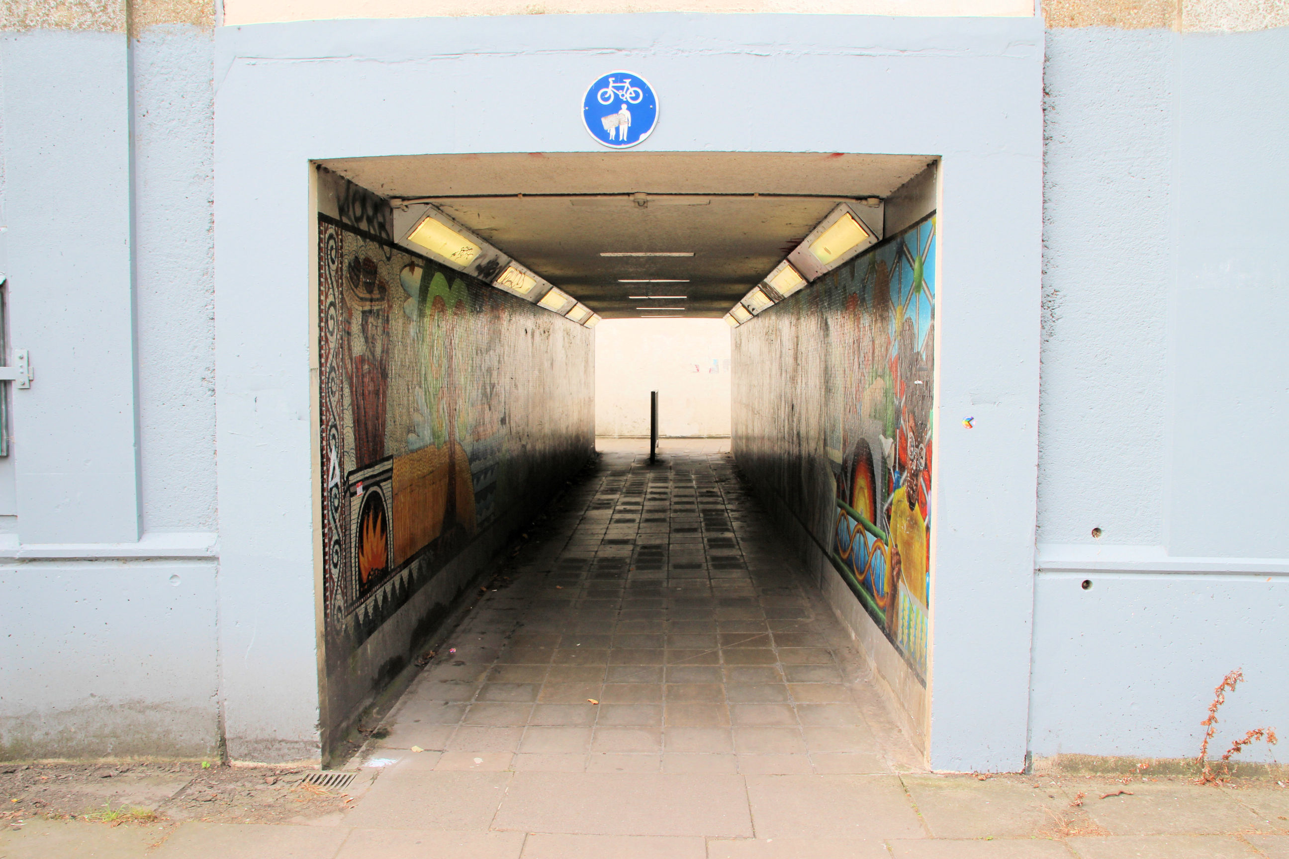
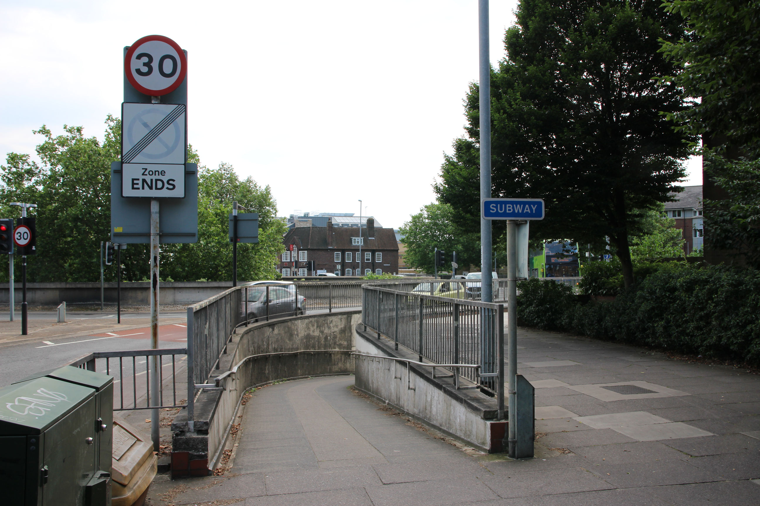
The northeast corner is different from the other three in a couple of ways. Firstly, it has a longer passageway with a dogleg in it, whereas the others are shorter and straight. The Stourbridge Fair murals are on either side here.
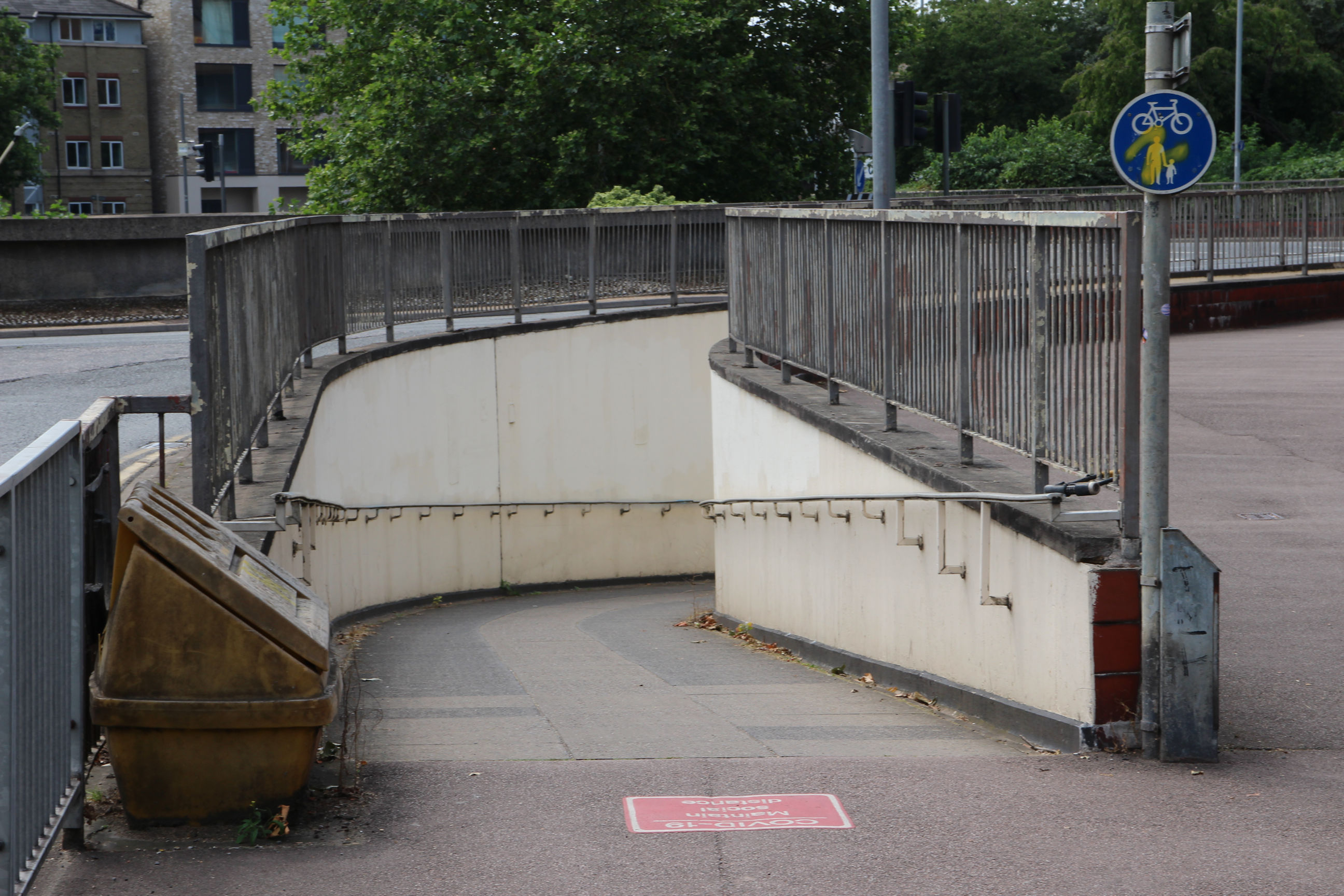
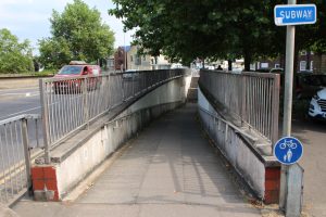
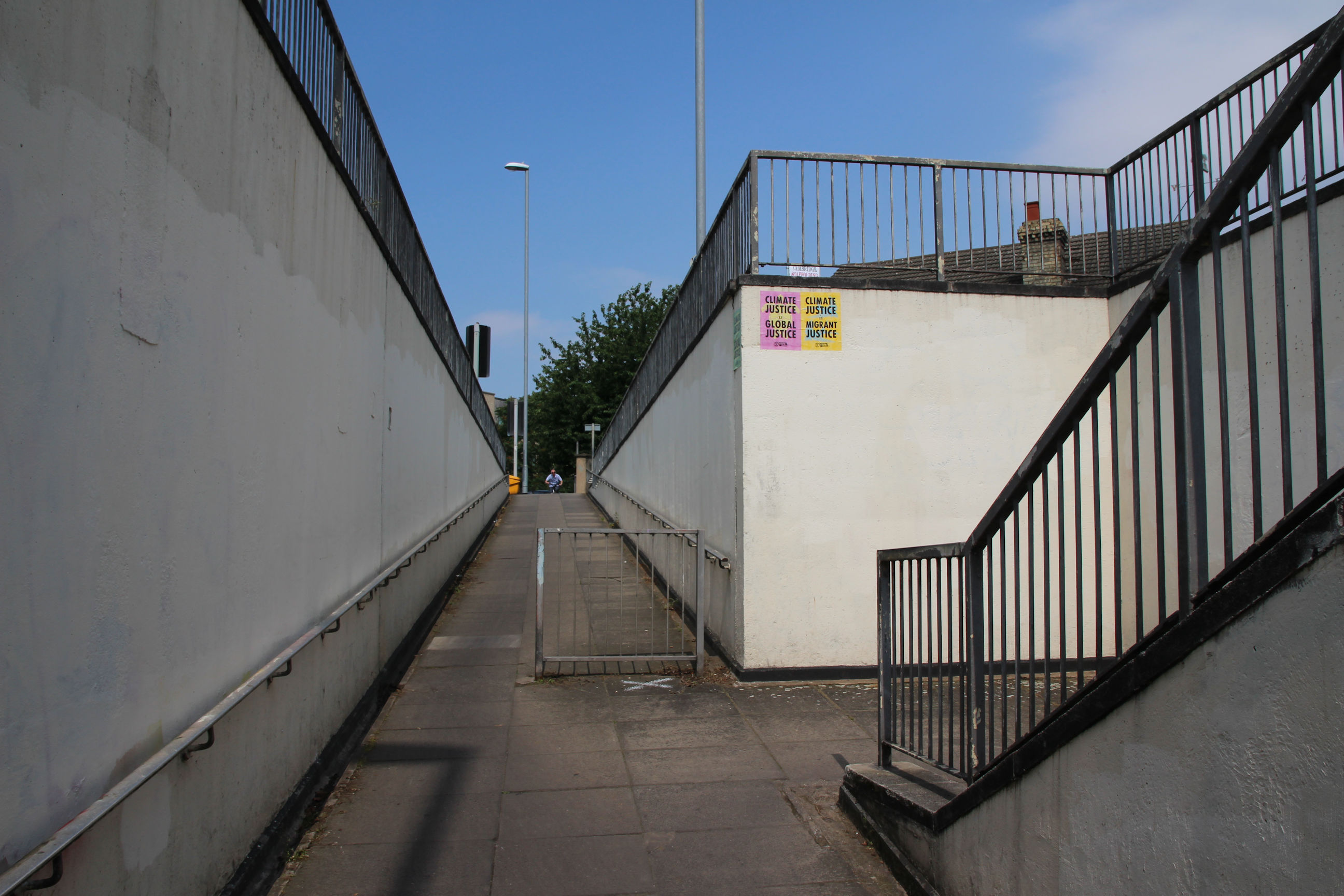
Secondly, at this exit there’s a ramp up to the left, with steps entered partway up it facing back towards Newmarket Road. The other three exits all have steps up to the left opposite a ramp to the right. There are Extinction Rebellion posters here and elsewhere, but no graffiti outside the underpasses at the moment. It’s clearly some time since the walls were repainted completely as opposed to just the defaced patches.
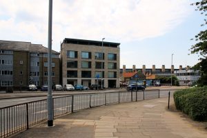
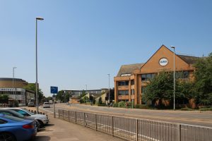
Next to the National Auto Centre on Elizabeth Way there’s a recently-built student accommodation block called Brunswick House.
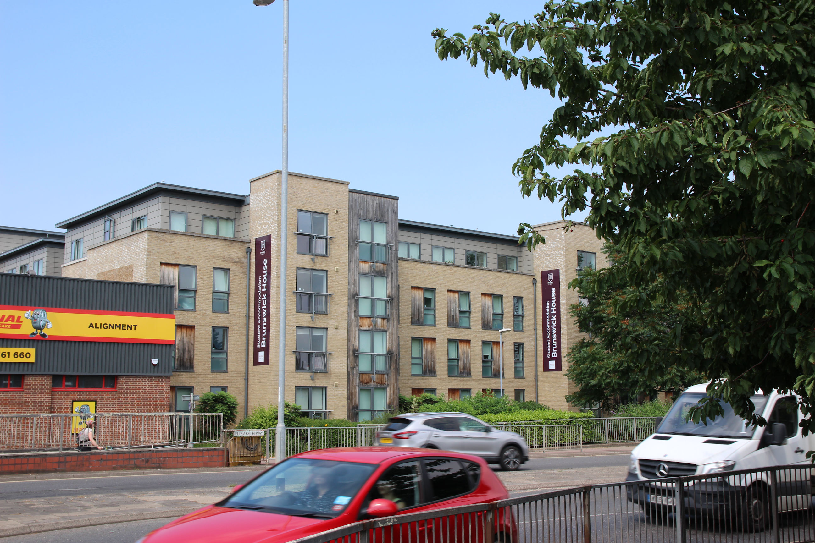
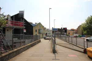
The view back towards the corner of Newmarket Road and East Road. One of the trees in the roundabout courtyard can be seen on the far right. There’s a COVID social distancing notice on the pavement by the ramp down.

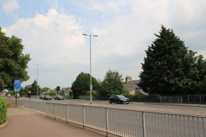
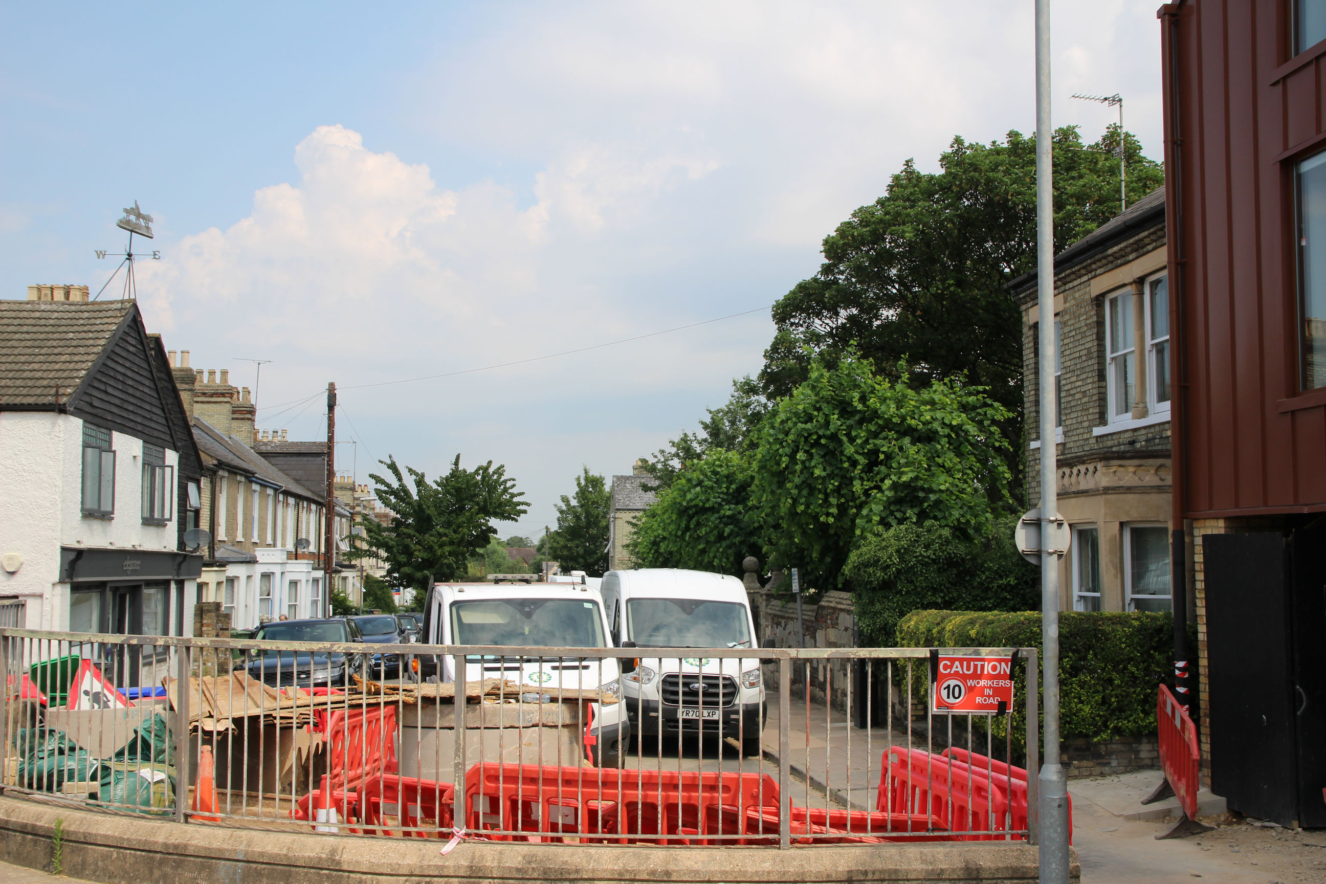
Normally you can look down Abbey Road to Riverside here, but the view is currently blocked by construction works.
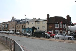
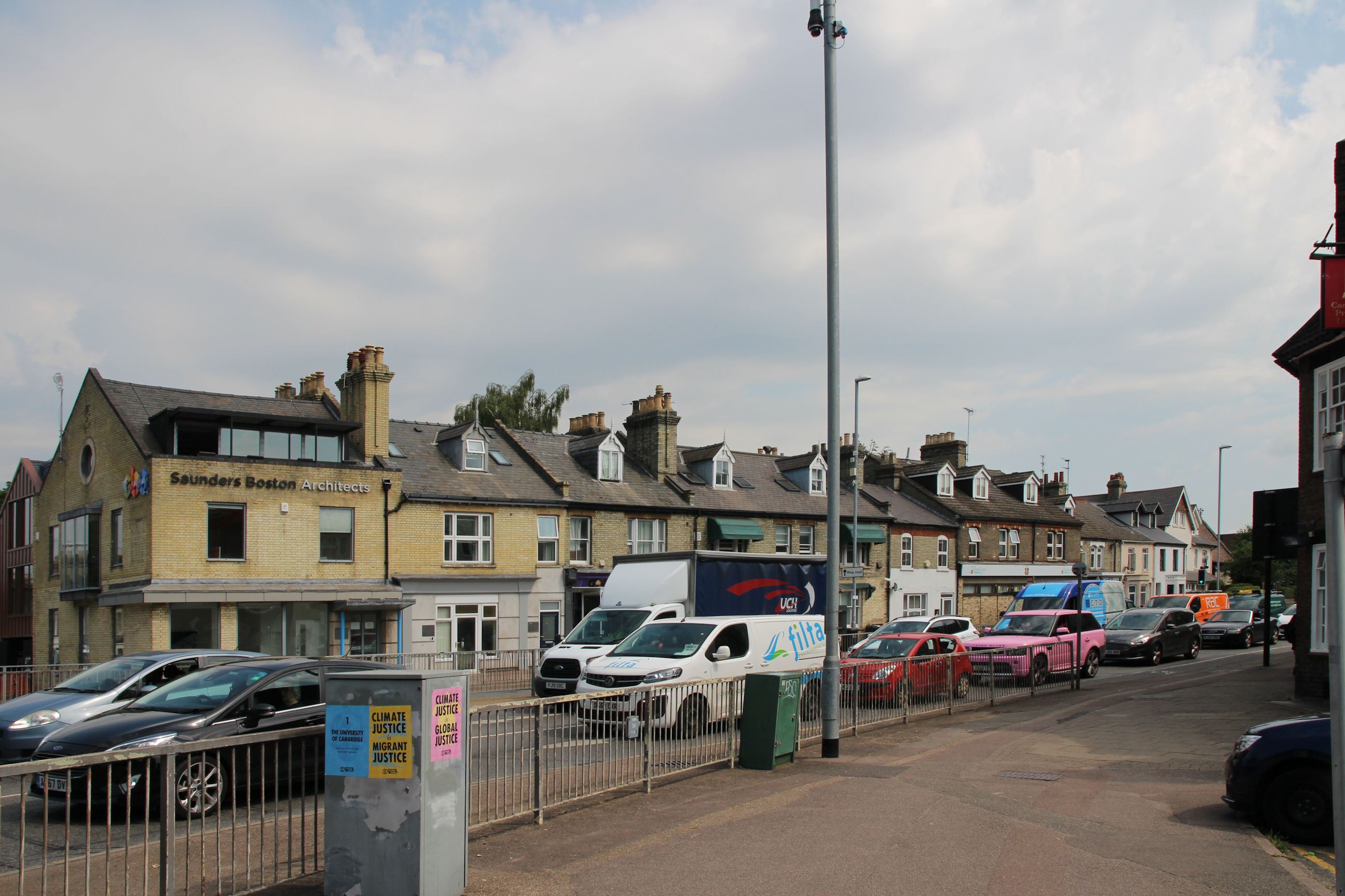
Much of the south side of Newmarket Road between here and Coldham’s Lane has been redeveloped in recent years as flats and a Travelodge. The former Rose and Crown pub on the corner has become a lettings agency.
Southeast Corner
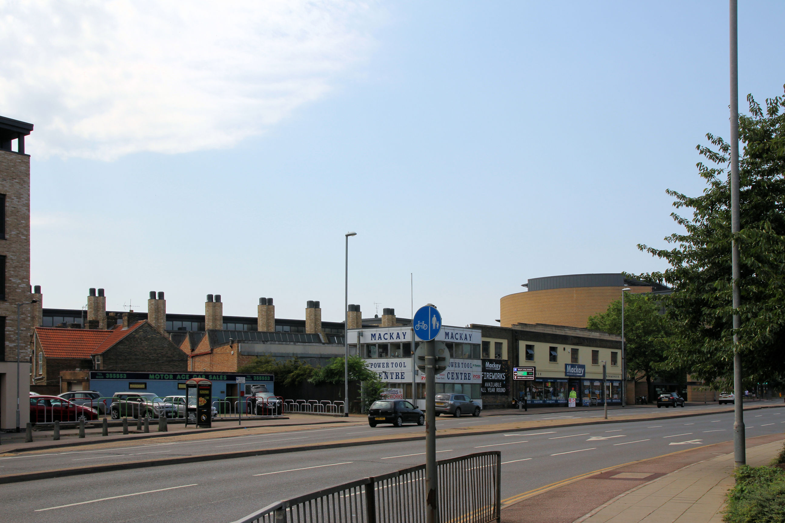
This exits to the south side of Newmarket Road and the east side of East Road.
This passageway has the Victorian terraced house murals on both sides.
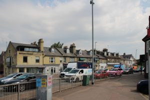
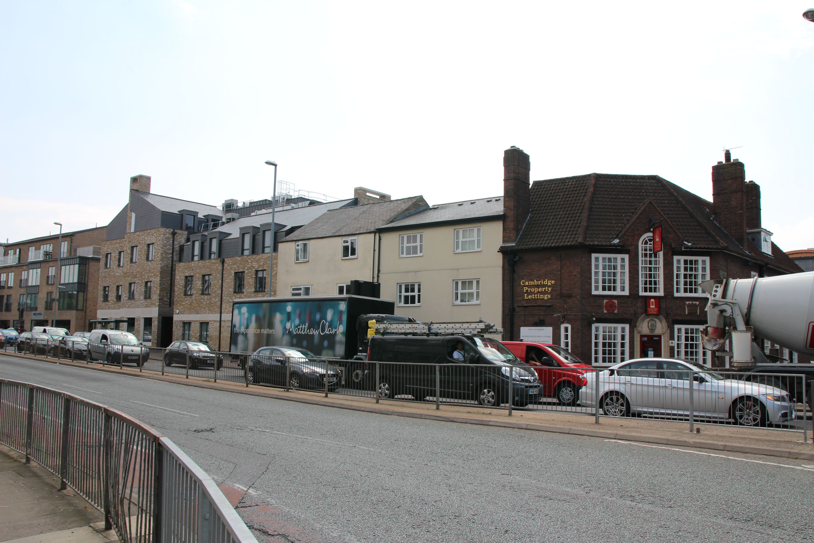
This corner of the north side of Newmarket Road still contains mainly Victorian buildings.
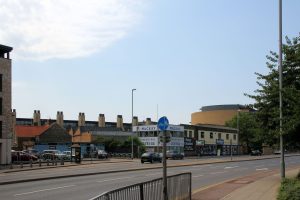
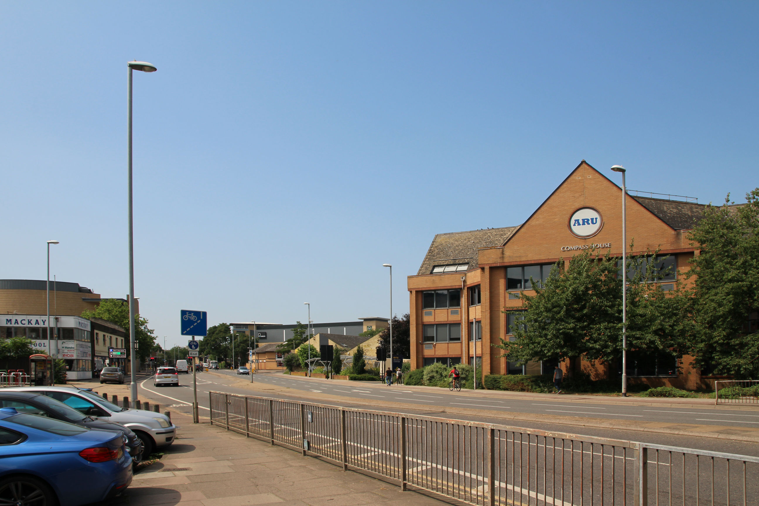
On the left side of East Road, beyond Mackay’s Engineering, the curved roof of the Crown Court is visible. On the other side, the Grafton Centre and Working Men’s Club are in the centre of the picture. For more photos of these, see the Grafton Centre page. Compass House on the right is now part of Anglia Ruskin University.
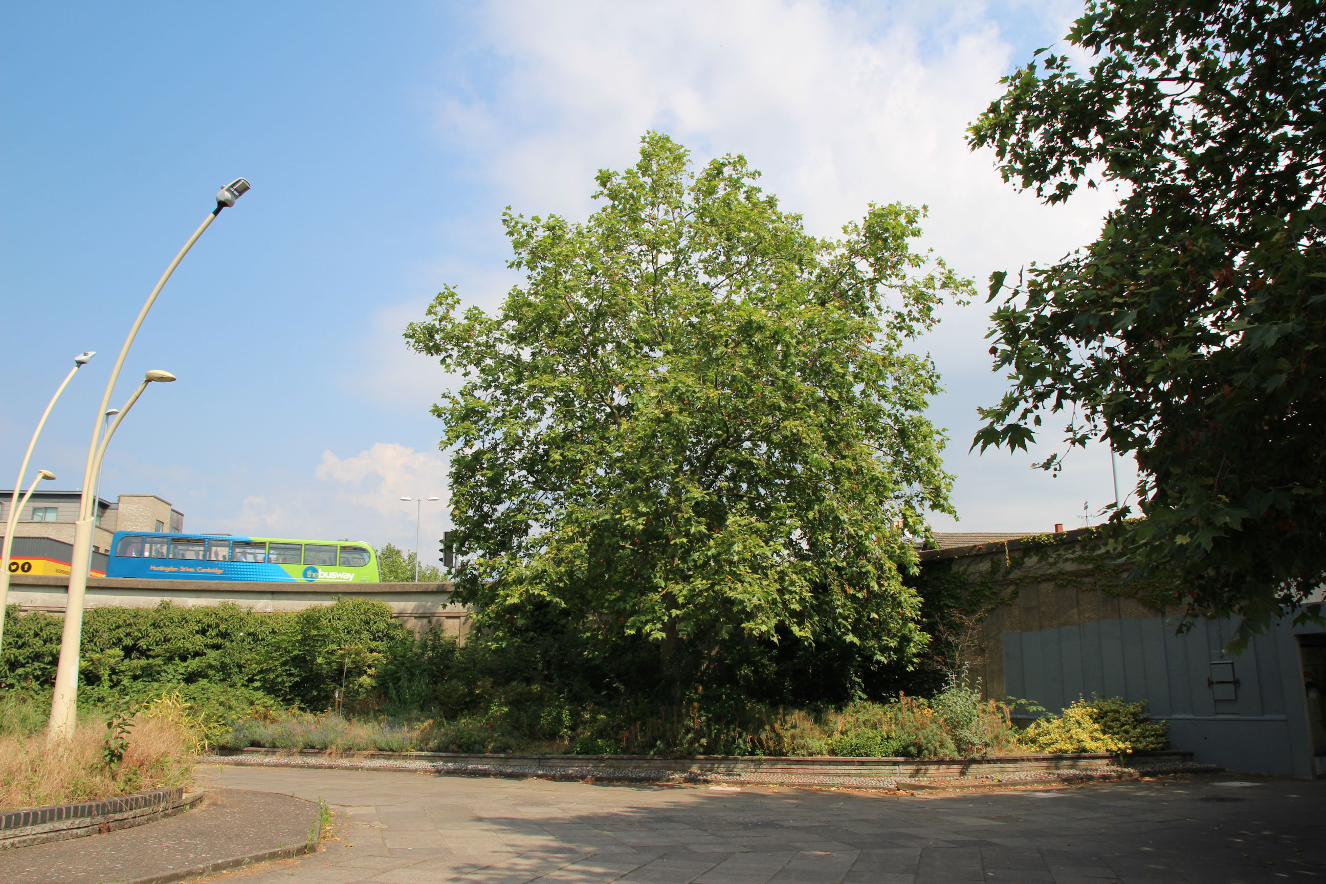
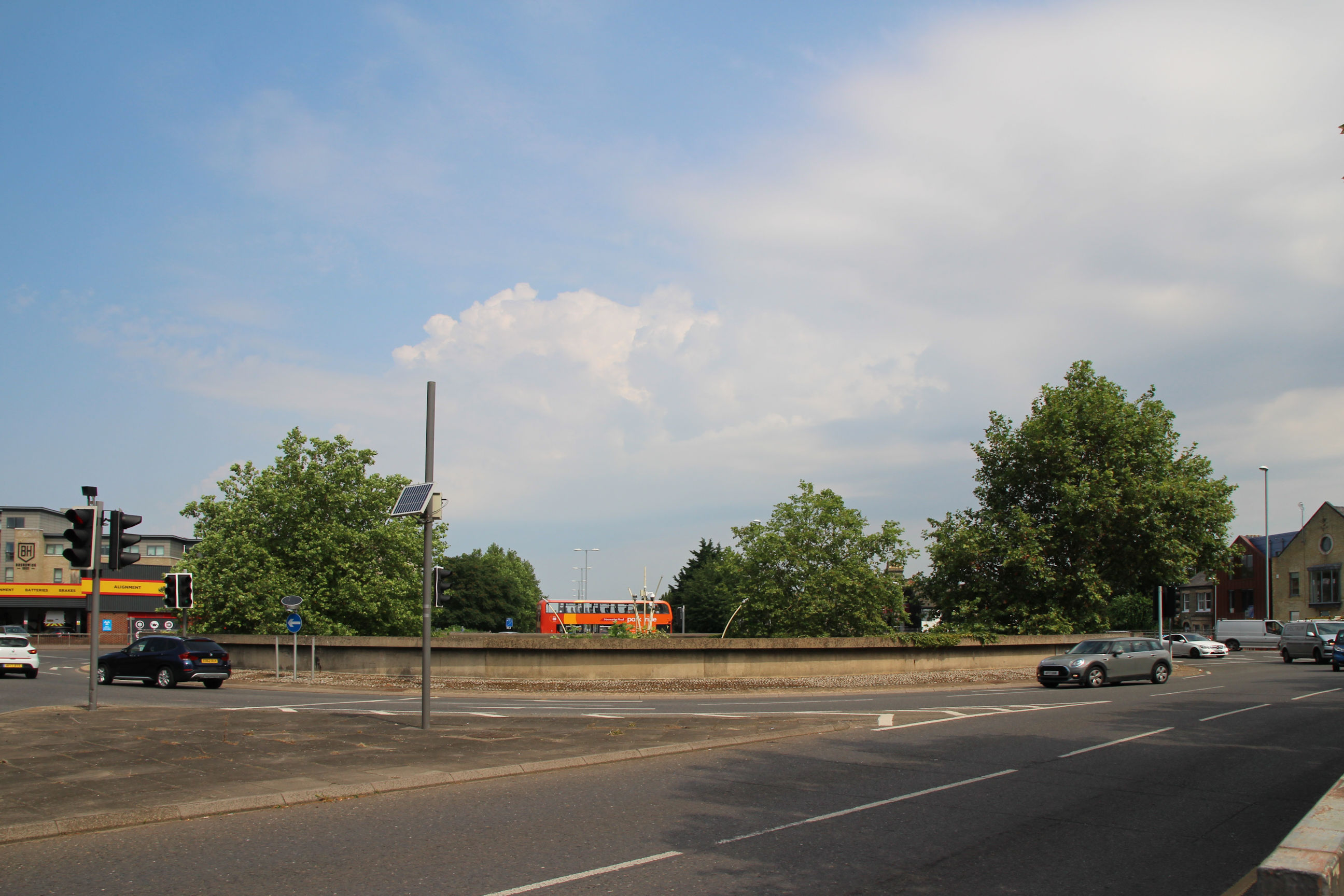
From this corner you can see across the roundabout through the trees in the courtyard. Unlike many other roundabouts the centre hasn’t gained a sloping edge with chevrons.
The ramp down from East Road curves gently. None of the underpasses have red surfaces to encourage cyclists to use one side and pedestrians the other. Perhaps I shouldn’t be giving anyone ideas.

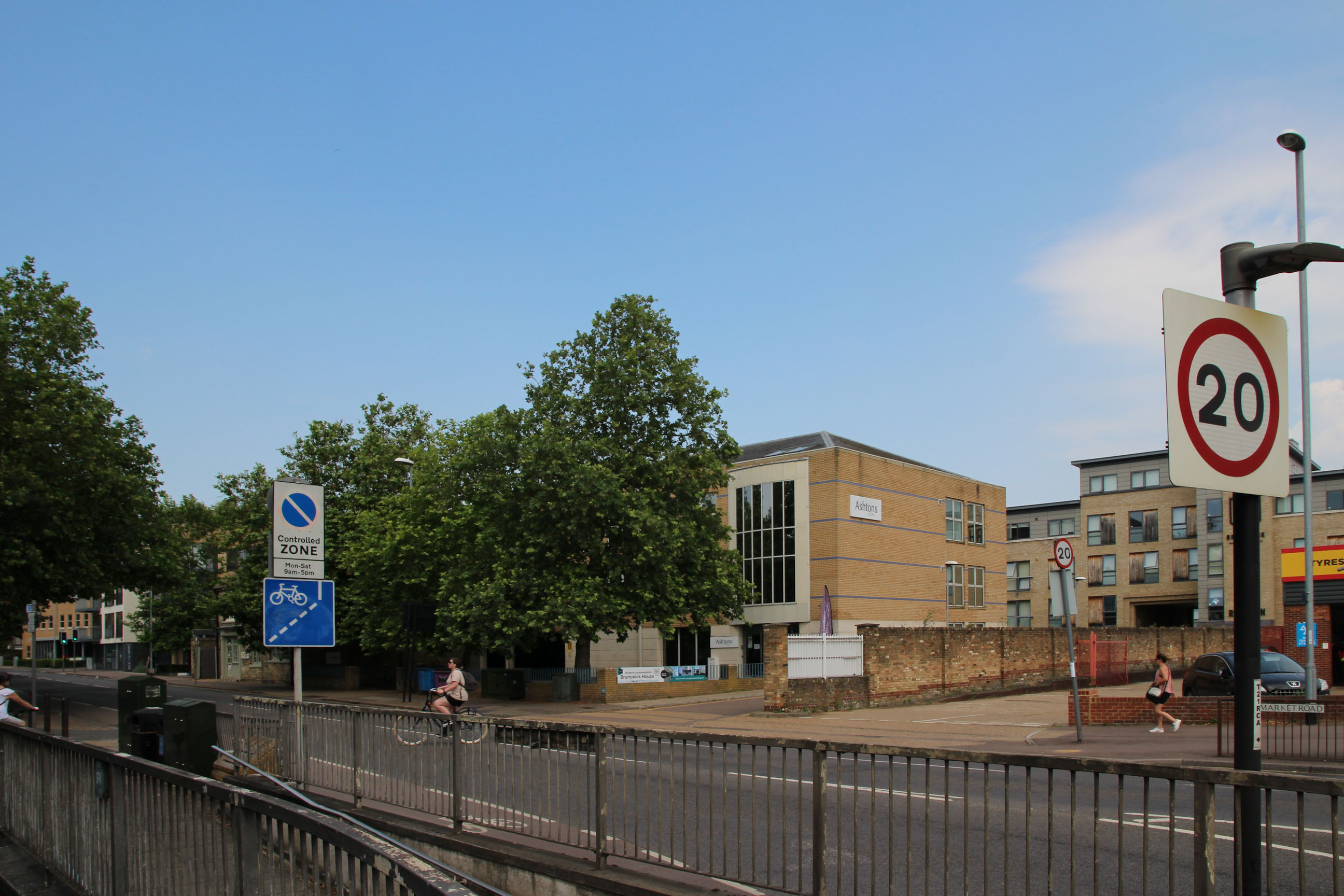
Southwest Corner
This exits to the west side of East Road and the south side of Newmarket Road, apparently not officially Maids’ Causeway until it gets past Christ Church.
The passageway contains the two history murals, starting with the Romans on the left, and ending with modern science and technology on the right.
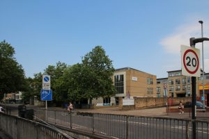
To the left of Mackay’s site on East Road there’s newly-built student accommodation.

Further round, this view shows Mackay’s shop and the Crown Court.
Most of this stretch of Newmarket Road has been redeveloped over the last few decades, but a former pub that can just be glimpsed to the left of the blue sign is now the Navadhanya Indian Restaurant.
The ramp back down from here curves sharply and its walls are more dilapidated than all the others.
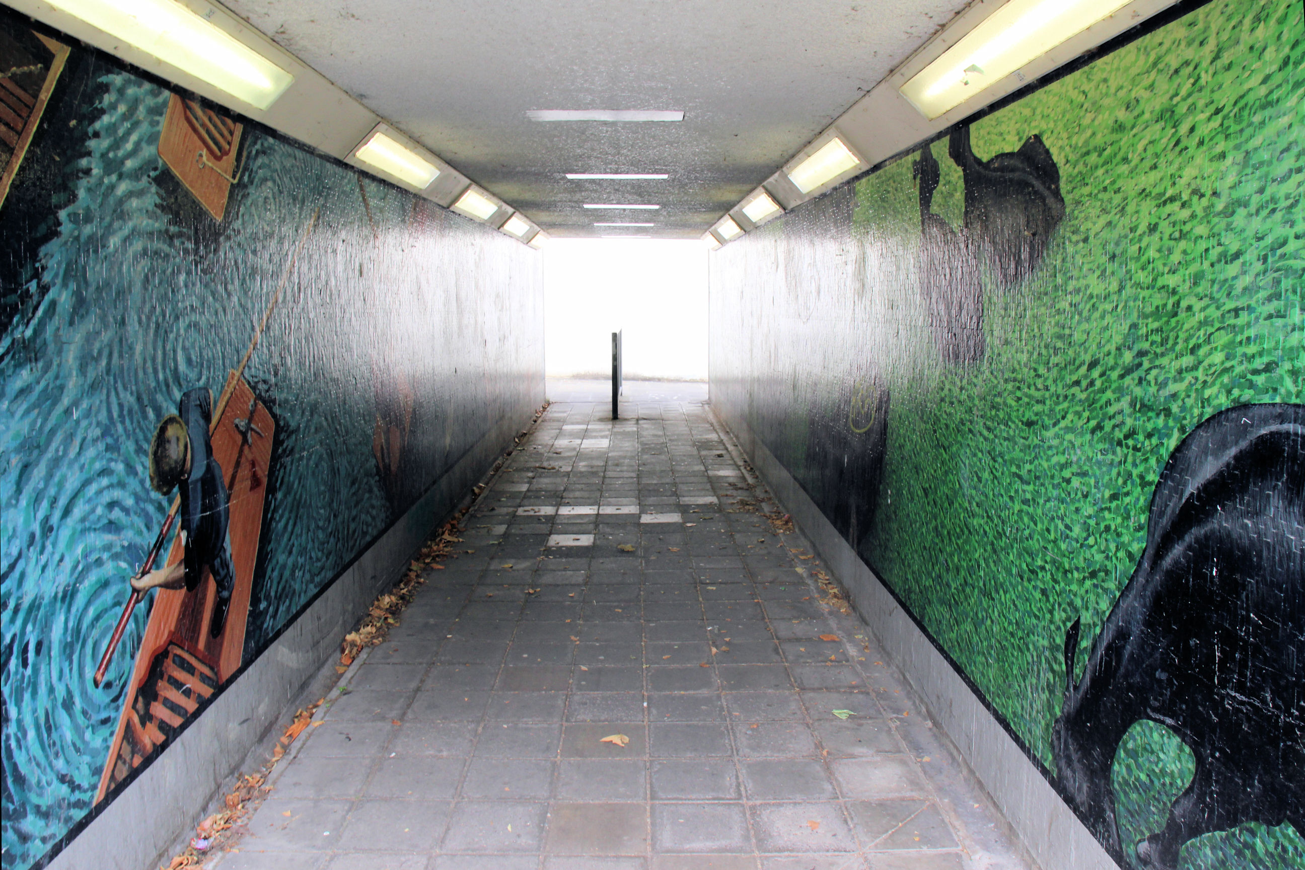
Northwest Corner
This exits to the north side of Newmarket Road and the west side of Elizabeth Way.
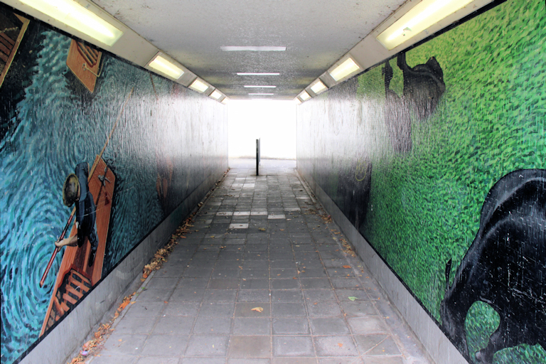
The passageway has the punting mural on the left and the cows mural on the right.
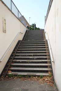
All four stairways are near-identical so I’ve only included this one. They all feature a half-landing, a metal gutter for wheeling a bike up if you prefer that to cycling up the ramp, some combination of mismatched, damaged and missing tiles and a collection of dead leaves. I mentioned earlier that some sprucing up is needed – the most urgent need being to refurbish all the steps.

On the south side of Newmarket Road looking west, the building visible between the trees was a Barclays Bank until the 1990s. When I first started work (in 1987) they paid me by cheque and I used to come here one lunch-hour every month to pay it in. Direct transfer arrived two or three years later.

Looking across Elizabeth Way to the east you can see the backs of houses on Abbey Road. The flyover runs past them at or above first-floor level. I viewed one when buying my current house; its back garden was short and bunker-like. I’m happier with Perne Road running past the front, at ground level.
Another curved ramp down, and another COVID social-distancing sign. It’s been a very short walk in terms of distance today, but about an hour long in time.