Mainly photographed on 8th June 2021. I returned on 5th July 2021 with a wide-angle lens to get better views of Parkside Pool and three churches, and add the previously omitted skateboard park.
Introduction
This is a walk along the entire length of Mill Road, from Parker’s Piece to Perne Road. I’ve illustrated it starting at the Parker’s Piece end as it seems more logical to show it heading out of town.


Route
The route starts at “Reality Checkpioint” in the centre of Parker’s Piece and ends at Home.
Parker’s Piece
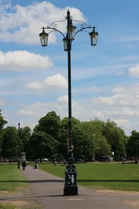
Reality Checkpoint
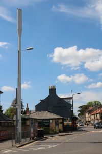
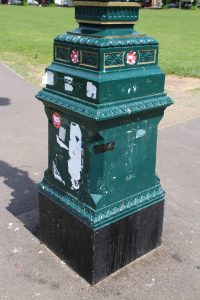
The lamppost in the centre of Parker’s Piece has long been known as “Reality Checkpoint” because for students it supposedly marks the point where the University ends and the Real World outside begins.
When I was a student in the 1980s the University was described as an “Ivory Tower”. While we were here we had little contact with the Outside World, apart from snail-mail, Radio 1 and a weekly phone call home to Mum. In the modern, internet-connected world, the Ivory Tower idea doesn’t really exist anymore.
We occasionally used to venture beyond here to visit places like Andy’s Records on Mill Road and the Comet Electrical warehouse on Newmarket Road, roughly where Currys/PC World is now, or the occasional pub.
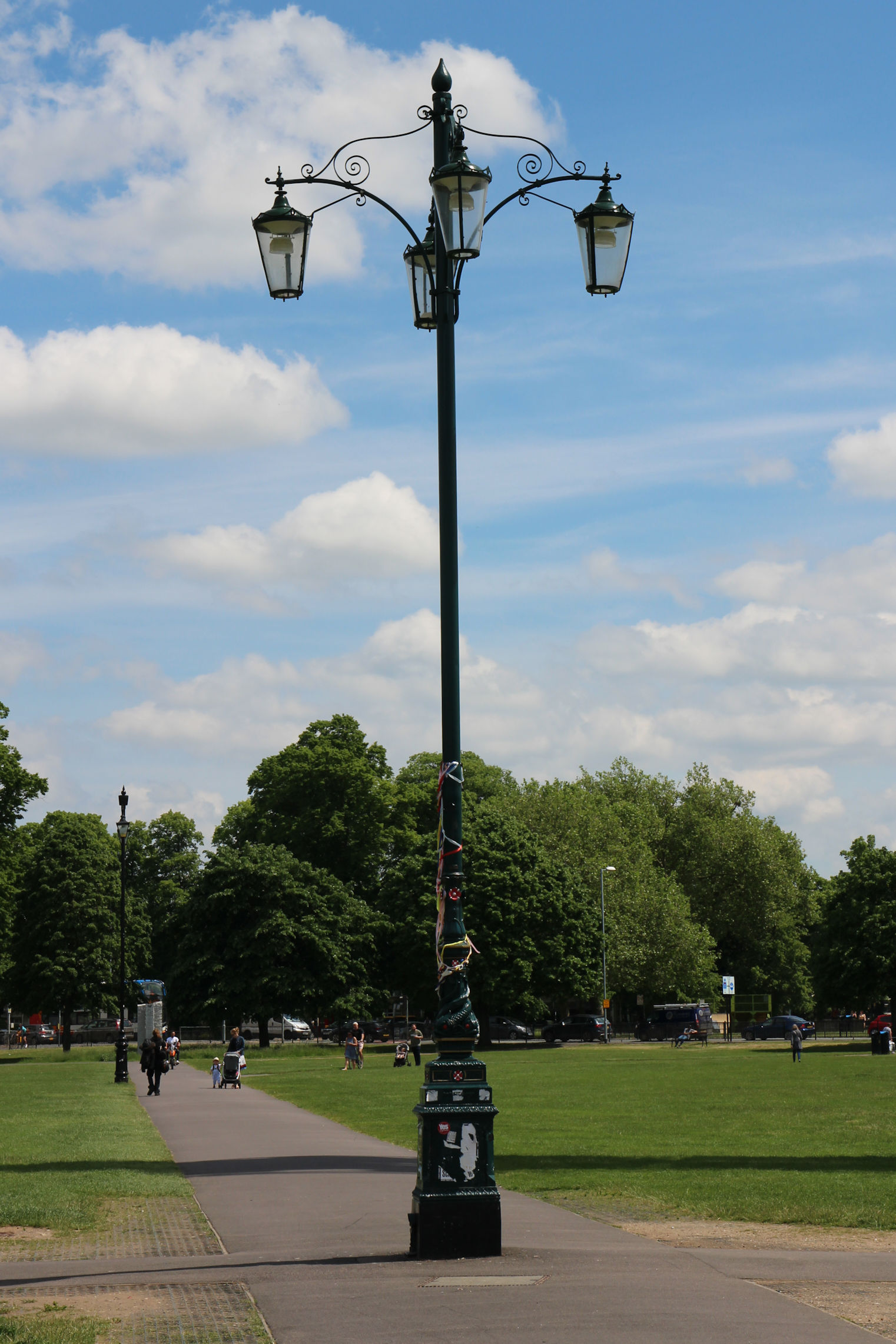
One side of the pillar has now been labelled as such. This got the thumbs down – the name “Reality Checkpoint” is meant to be part of the unwritten “knowledge” that gets handed on from one cohort of students to the next.
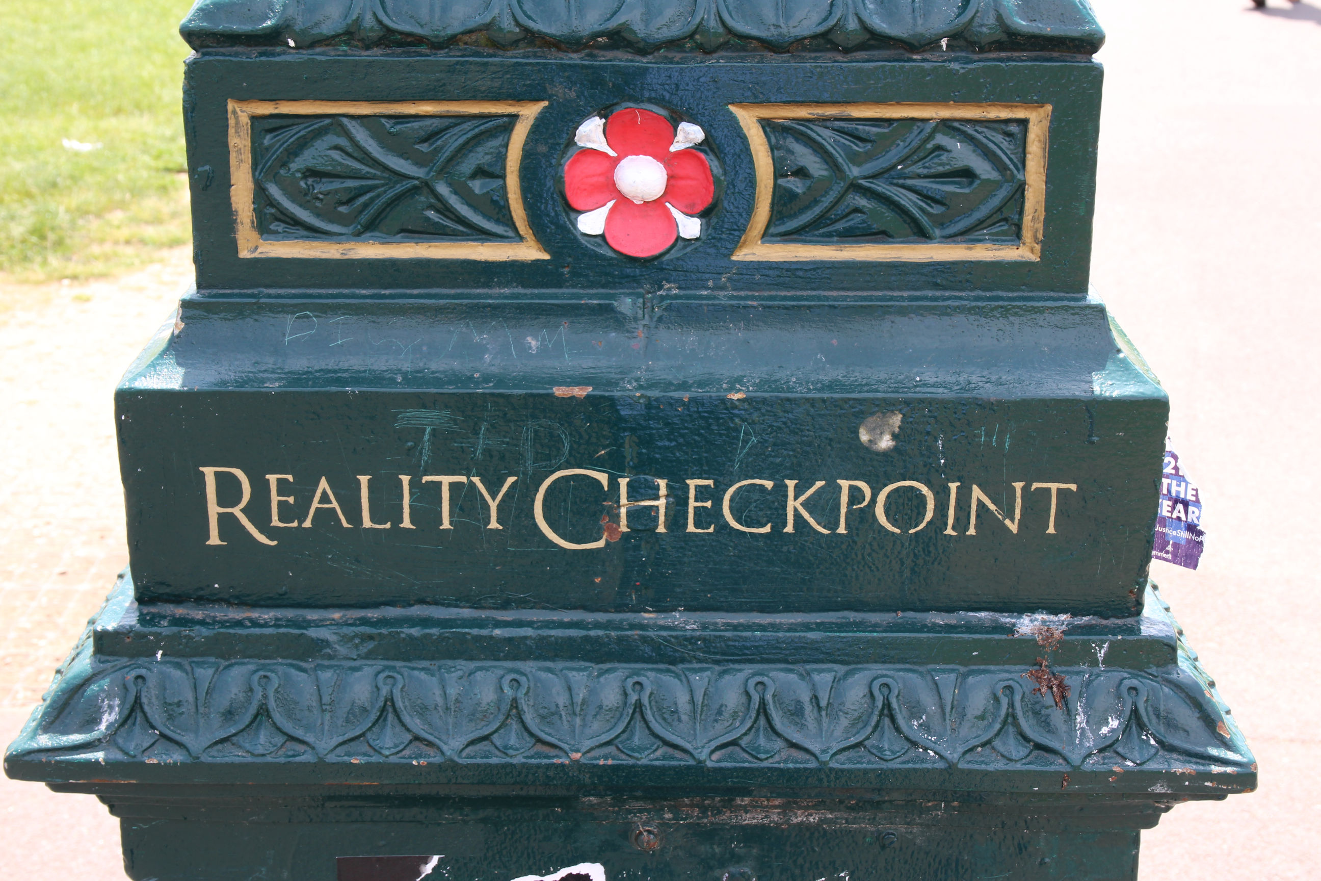
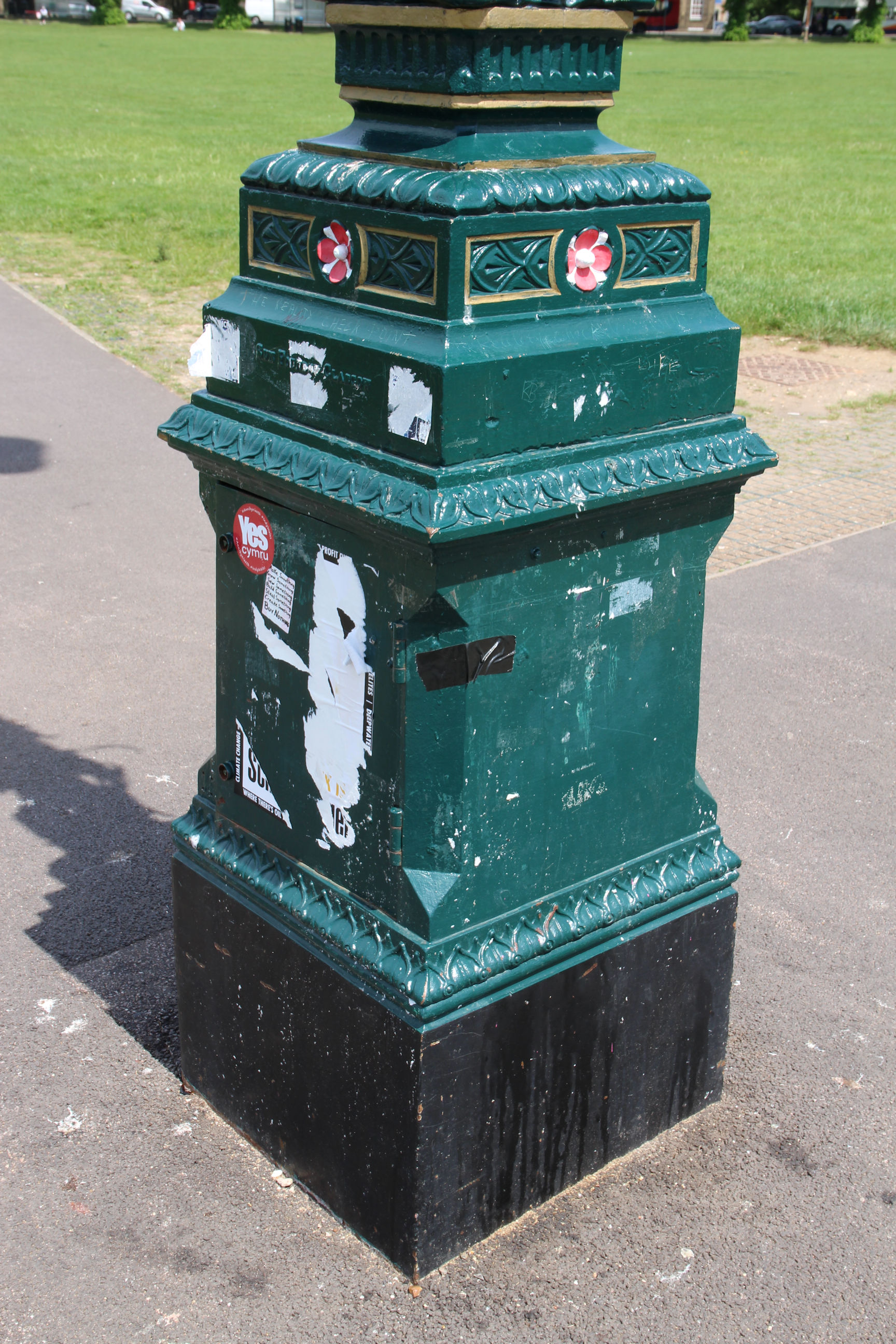
The rest of the pillar is scruffy and shows the remains of removed stickers and posters. That’s more in keeping with student culture.
Regent Street Side
Before heading off along the route I’ll wander along the University side of Reality Checkpoint towards Regent Street.
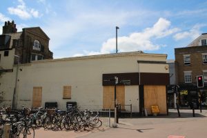
The first thing I notice is that the Pizza Hut that has been here since at least 1984 has closed and been boarded up.

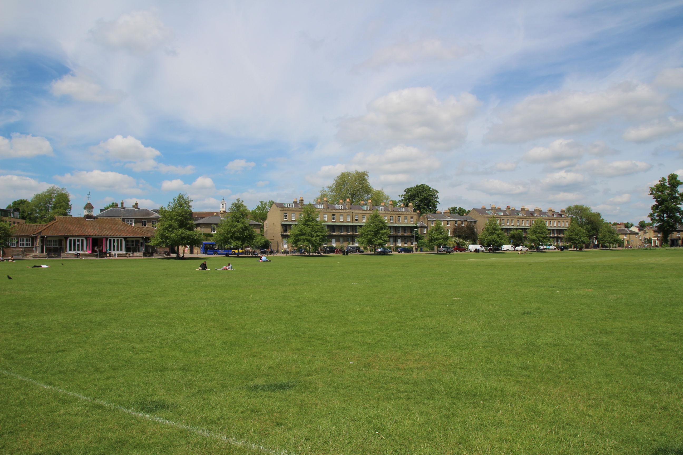
The view north across Parker’s Piece from near the Pizza Hut. Some large blue wheelie bins have appeared alongside the regular litter bins. With indoor gatherings still restricted to 6 people, I guess they anticipate more people than usual gathering here this year.

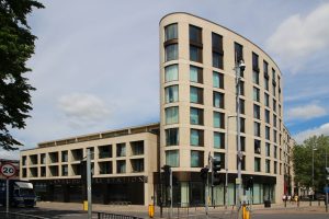
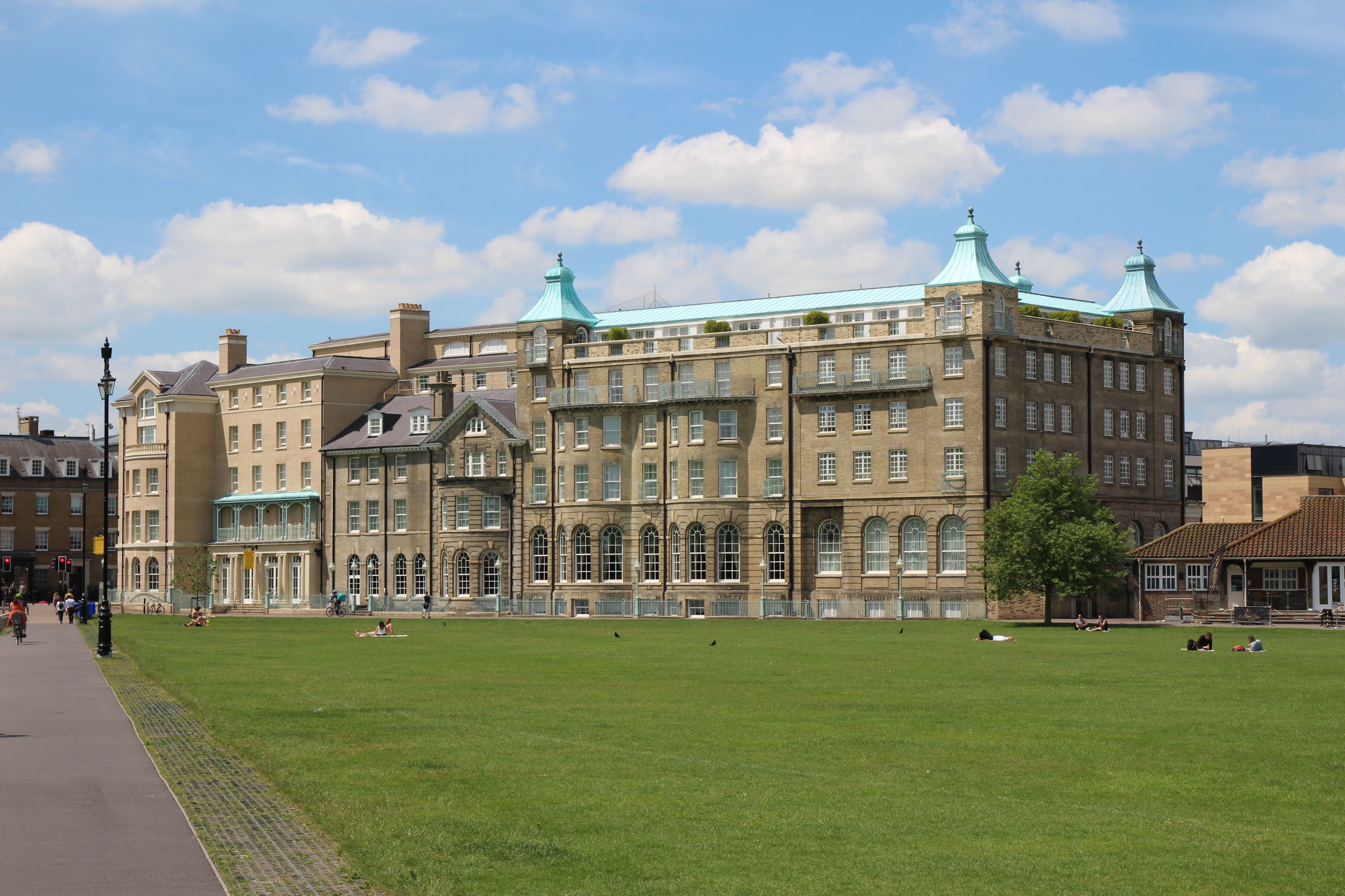
The University Arms Hotel has recently undergone major refurbishment including construction of a new section facing Regent Street, which is designed to blend in with the original building and replaces an unsympathetic 1960s extension.
View west towards the pavilion and Park Terrace. It’s not very busy now, but it is a Tuesday lunchtime in term-time.
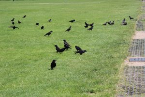
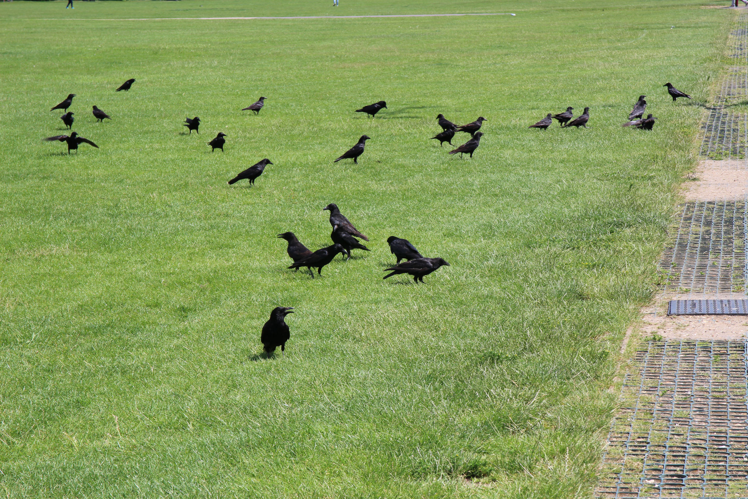
I don’t usually photograph wildlife (I have difficulty seeing it), but these crows were making their presence felt by the path. Unless someone who knows their ornithology tells me they’re rooks.
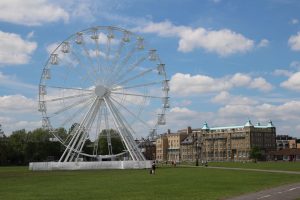
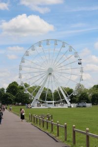
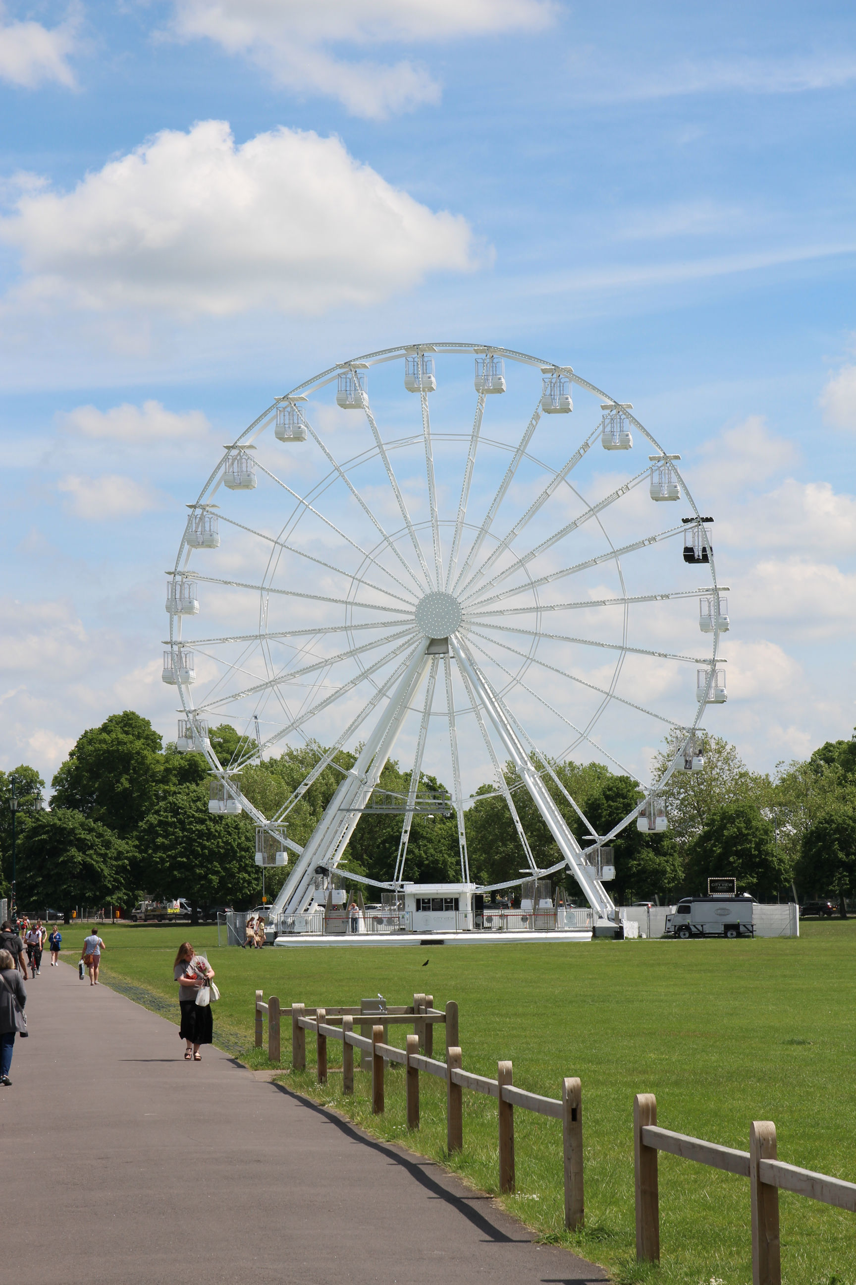
City View Wheel
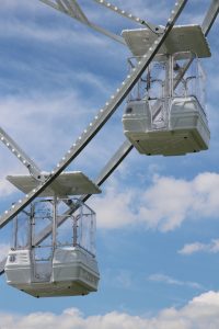
A City View Wheel has been erected on the east side. It will apparently be here until November (when the ice skating rink normally arrives). For £6 you can ride on it to see aerial views of the city. The website doesn’t say how long you get up there, but bookings are taken in half-hour slots. Maybe if it’s quiet and they aren’t letting people on and off every “gondola” you get to go round more than once.
A close-up view of two of the wheel’s gondolas. Most are the same but there’s a single luxury VIP gondola with leather seats and champagne provided, which can be booked for special occasions.

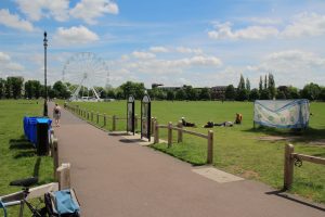
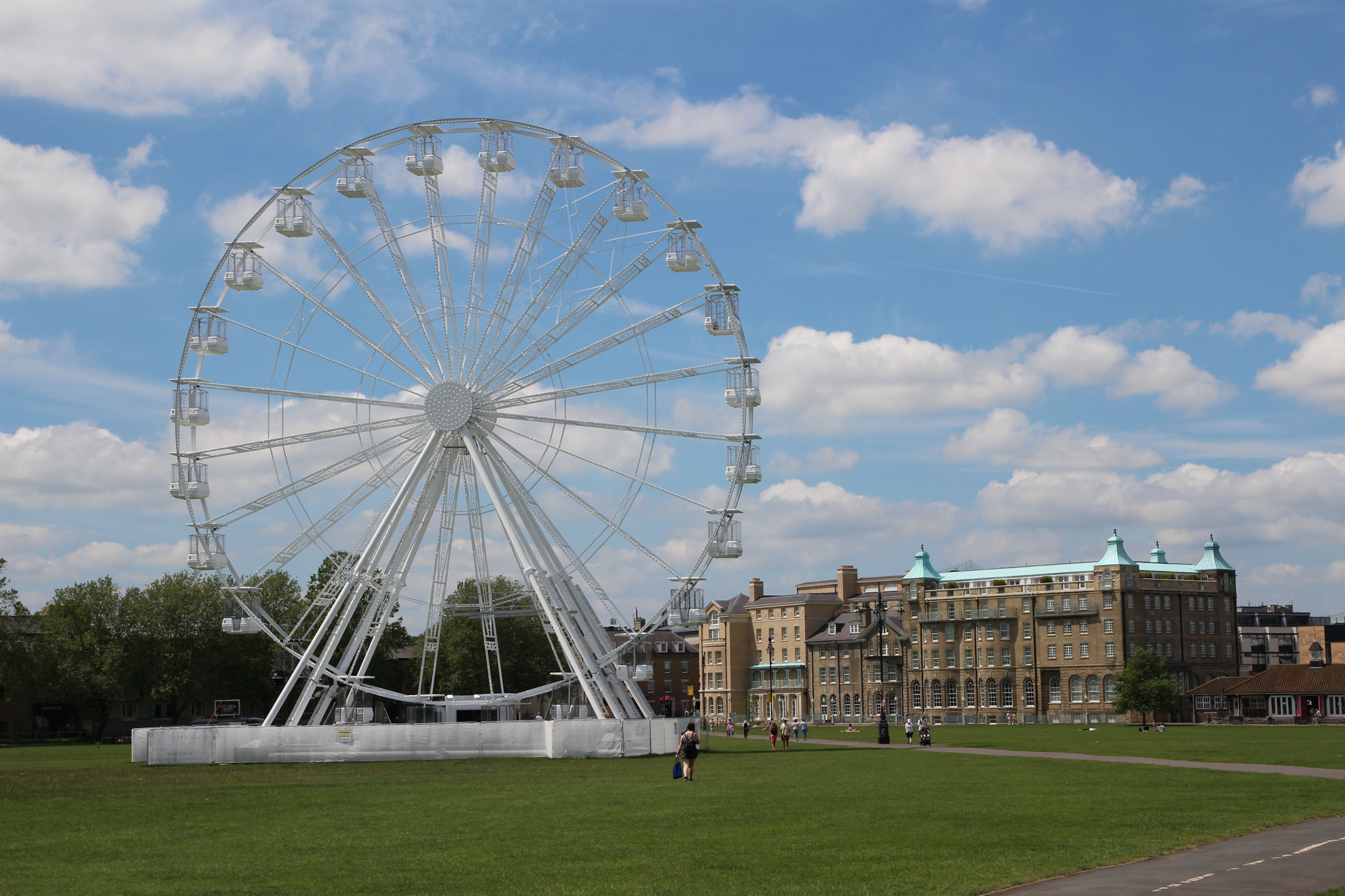
This view shows the wheel looking back from nearer Parkside, with the University Arms Hotel to the right.
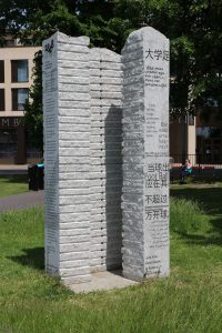
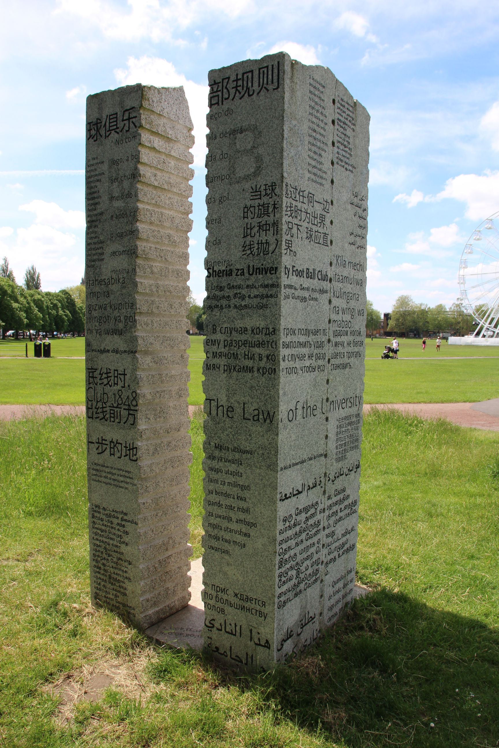
Cambridge Rules Sculpture
The Cambridge Rules Sculpture is engraved with the original 1848-era “Cambridge Rules” of modern-day football in a variety of languages. The rules were first written by students playing here. They were adopted largely unchanged by the Football Association in 1863.
Not everyone likes it but I’m happy for it to be here. The existing Abbey Stadium entrance isn’t worthy of it.

Here’s the view from the other side, which is in the shade.
Parkside
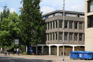
The police station dates from the 1960s and is described as “outdated”. There’s currently talk of replacing it with a smaller city centre presence (possibly within the fire station) and a more major “Police Hub” in Milton.
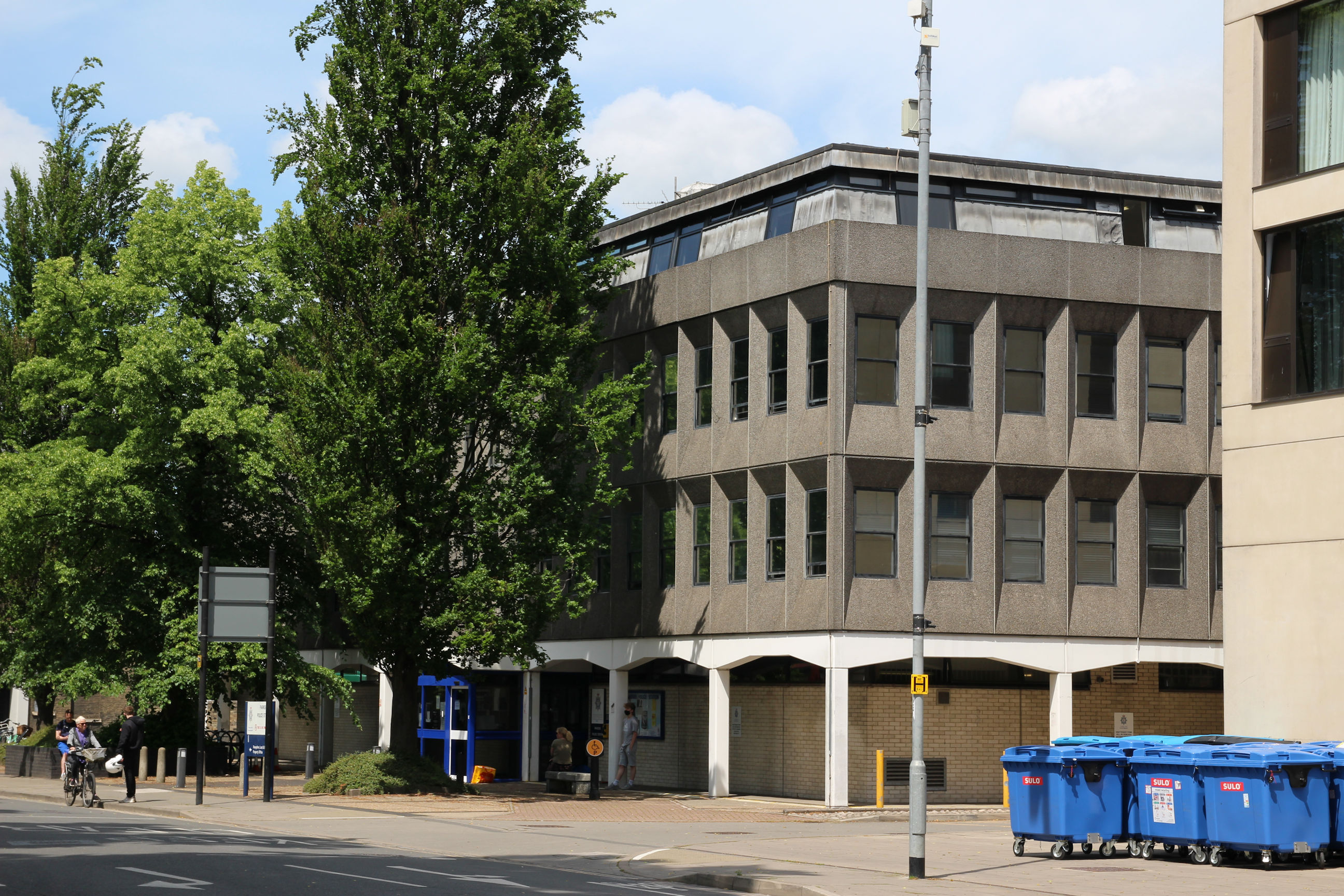
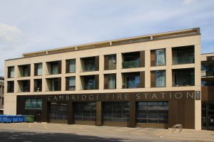
There was also talk of moving the fire station out of the city centre, but no suitable site was found and the 1960s station was rebuilt on its existing site about ten years ago.
It’s probably as well to keep it here as it’s close to all the historic city centre buildings.

The development incorporates five storeys of flats with two-storey penthouses above, which made the new fire station pay for itself.

Petersfield
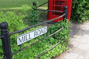
I’ve now crossed over from Parkside to the north side of Mill Road.

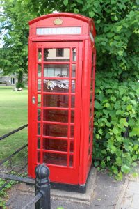
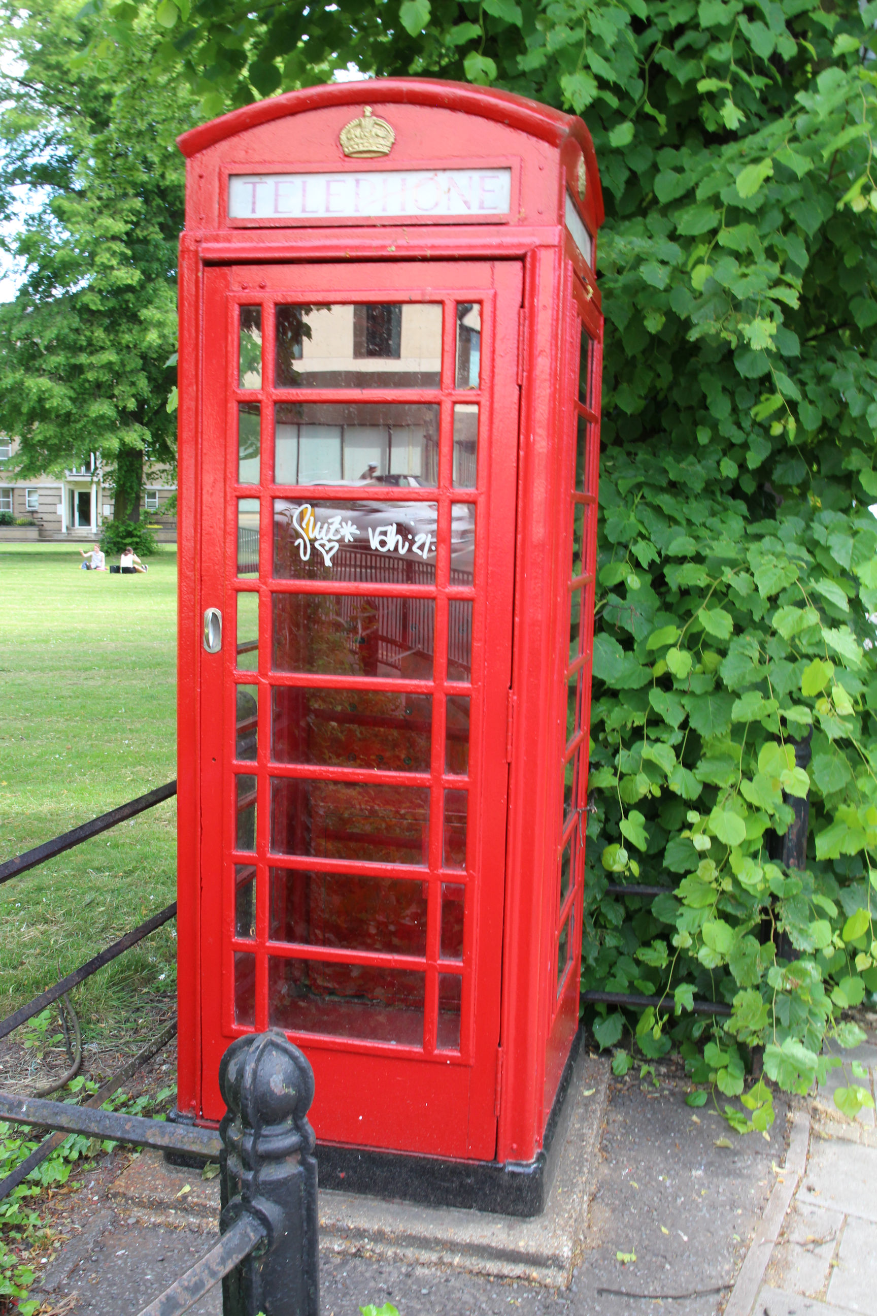
This phone box is totally empty. It hasn’t even been repurposed as a litter bin or a urinal, as was too often the case when I had to phone home from them in my youth. Finding one that was clean, with all other odours overpowered by plentiful fresh cigarette smoke, counted as a win.
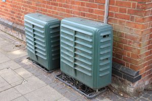
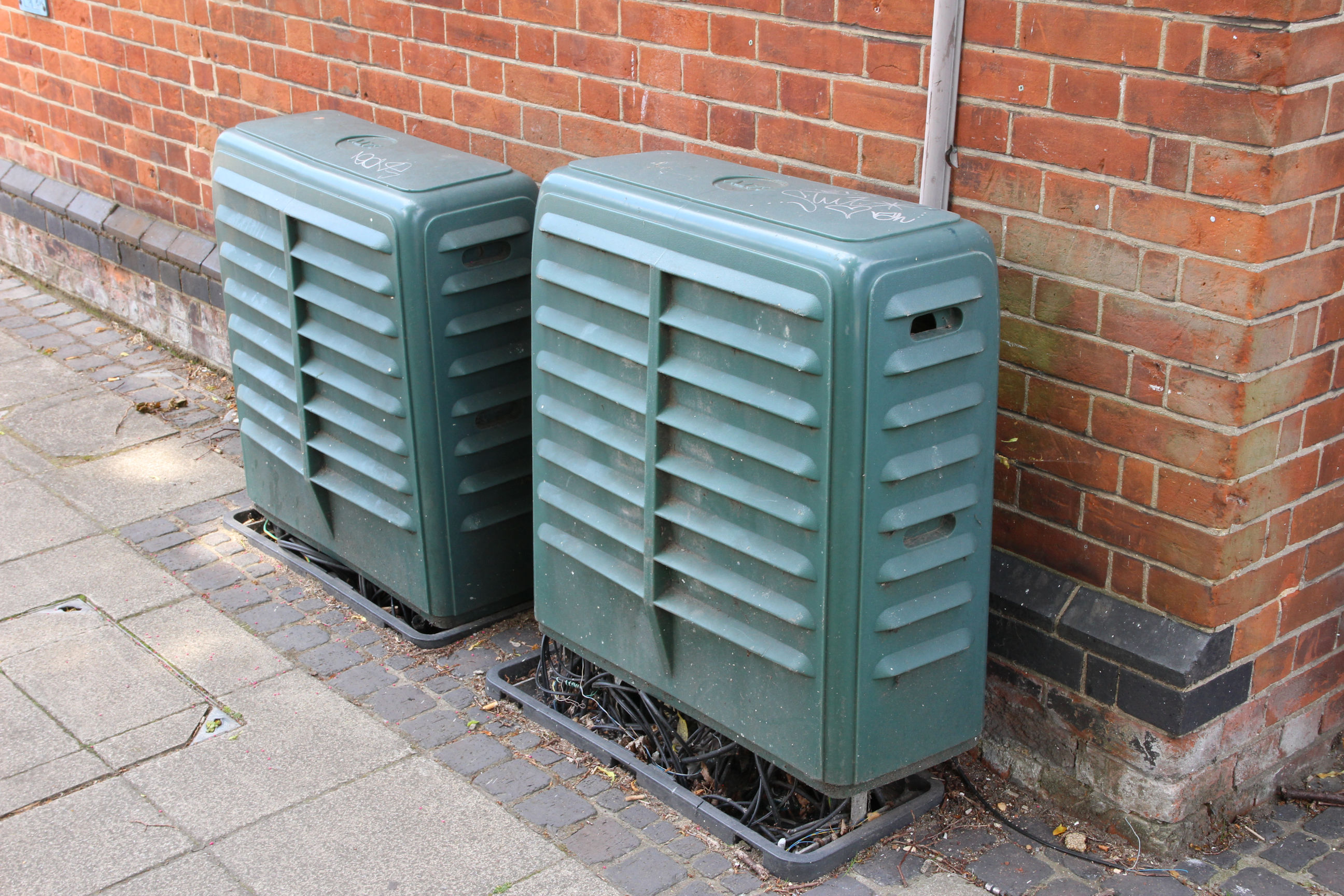
My vote is for removing them rather than leaving them, as there are enough metal cabinets cluttering the pavements for modern telecommunications – like the two in the next picture.
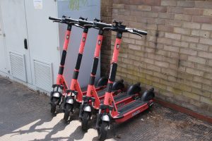
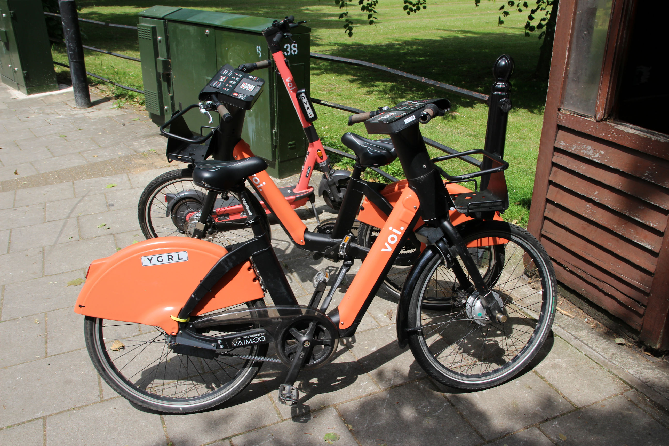
Here there’s a choice between an e-scooter and an e-bike for hire. The Voi electric bike and scooter trial is described on the City Council website. Various schemes for pedal cycles have been tried over the years, but they often end up getting abandoned in unhelpful places or damaged.
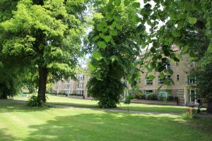
This green space is Petersfield, which gives the district and electoral ward its name.
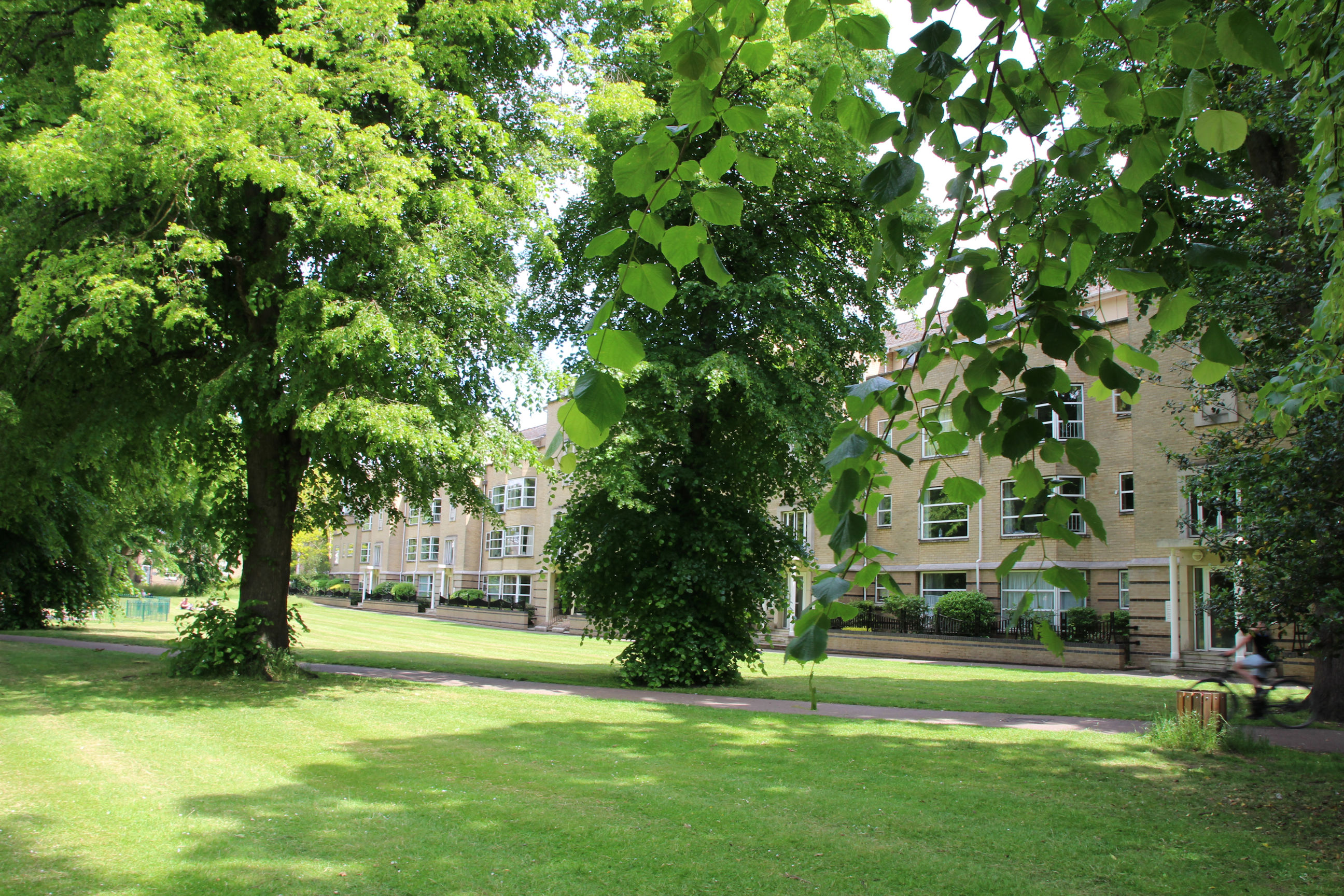
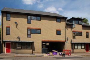
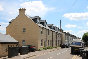
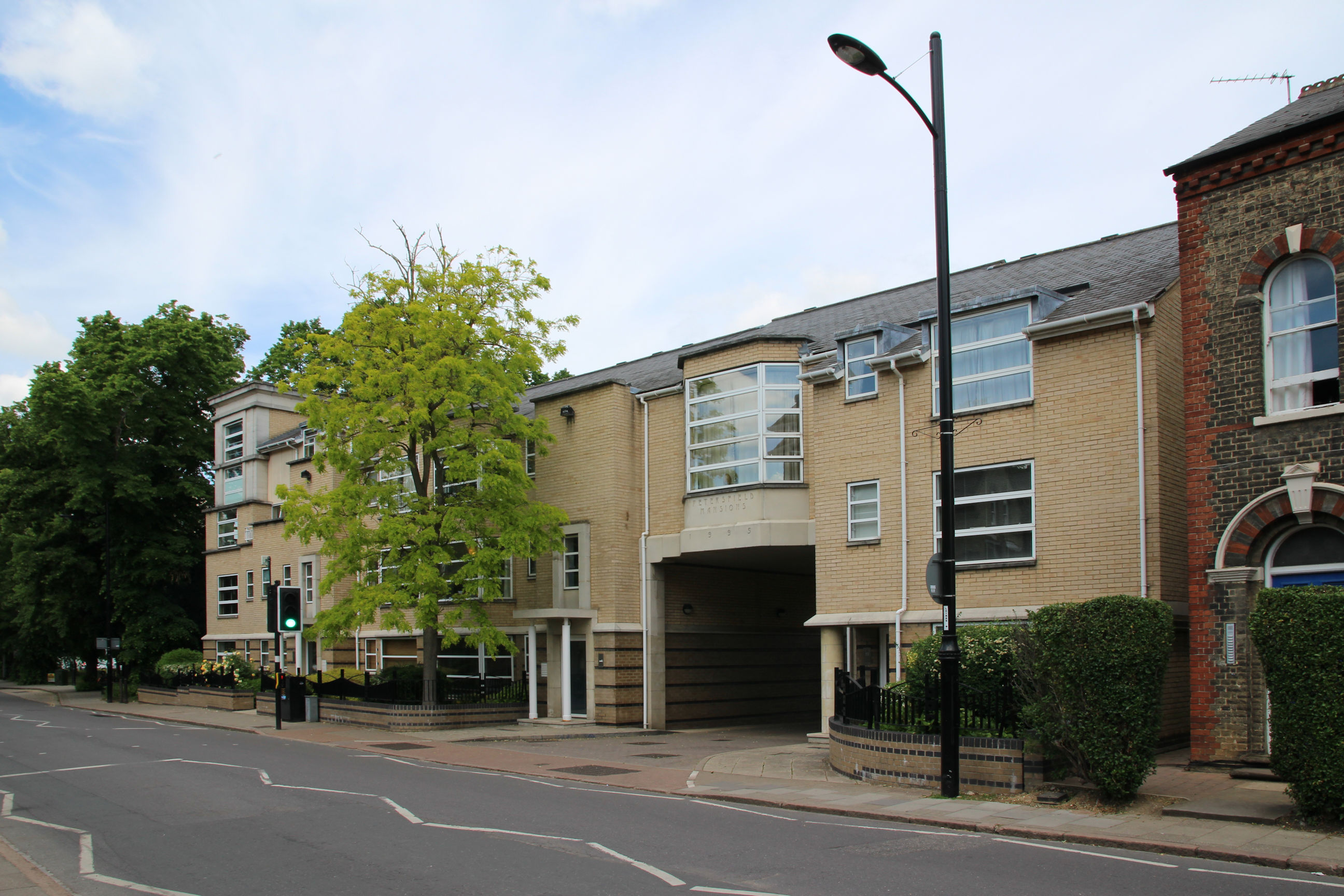
These 1990s flats appear to be a modern twist on 1930s style. I don’t think they replicate 1930s Art Deco elegance, but they are quirky and unique and an improvement on the 1960s Royal Mail sorting office that they replaced.
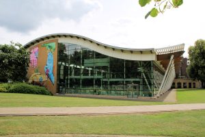
The current pool also dates from the 1990s and replaced a very plain 1960s building.
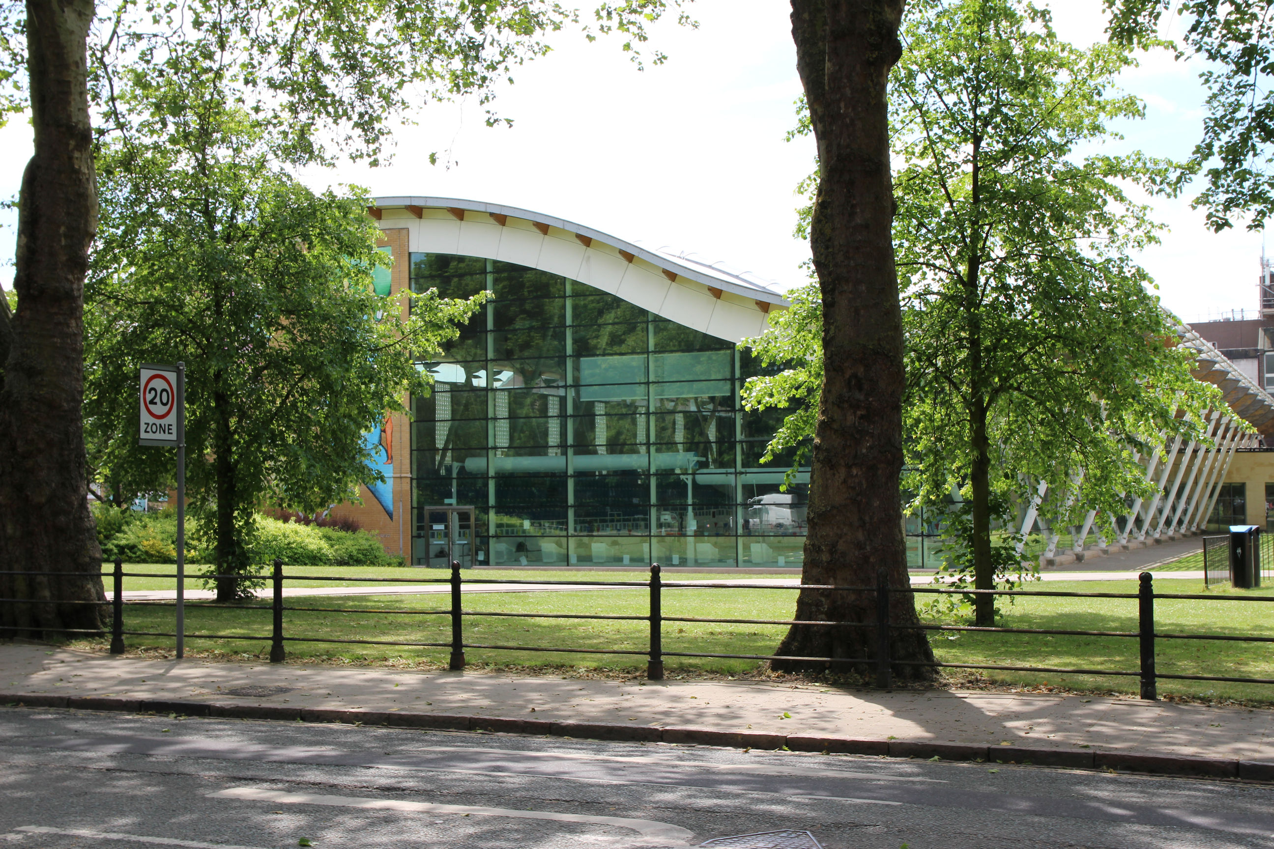
On my return visit the wide-angle lens enabled me to photograph the pool from in front of the trees.

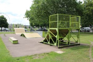
The small green in front of Parkside Pool is called Donkey Common, and contains a skateboard park.

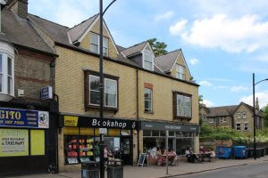
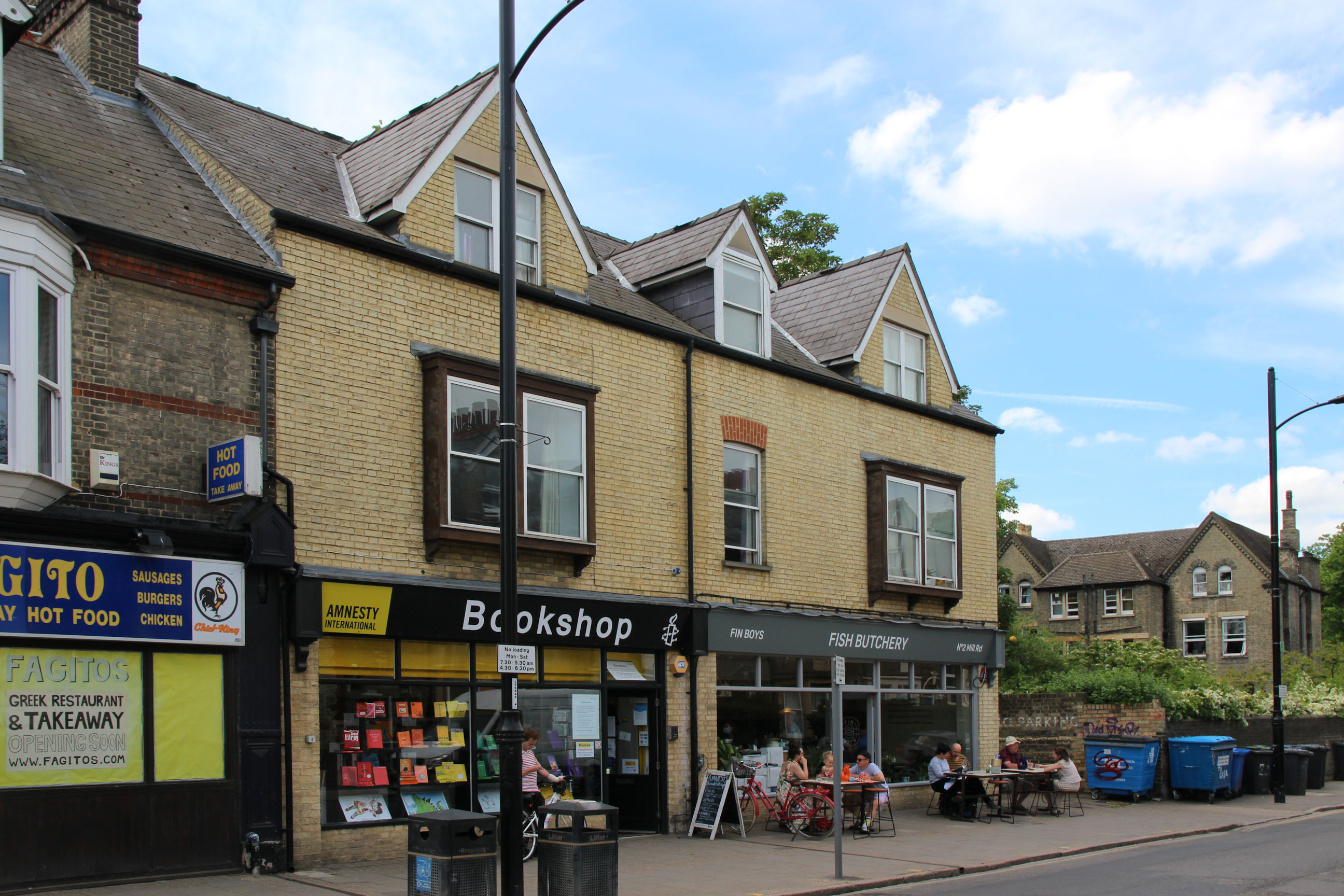
Along Mill Road from the pool, the former Oxfam shop has become a fish restaurant called Fish Butchery. The Amnesty Bookshop has arranged its window display in a rainbow, which catches attention in a way that a random display of books doesn’t.
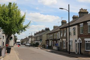
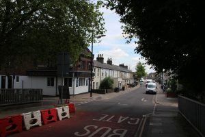
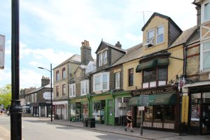
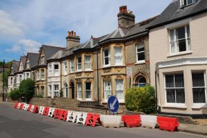
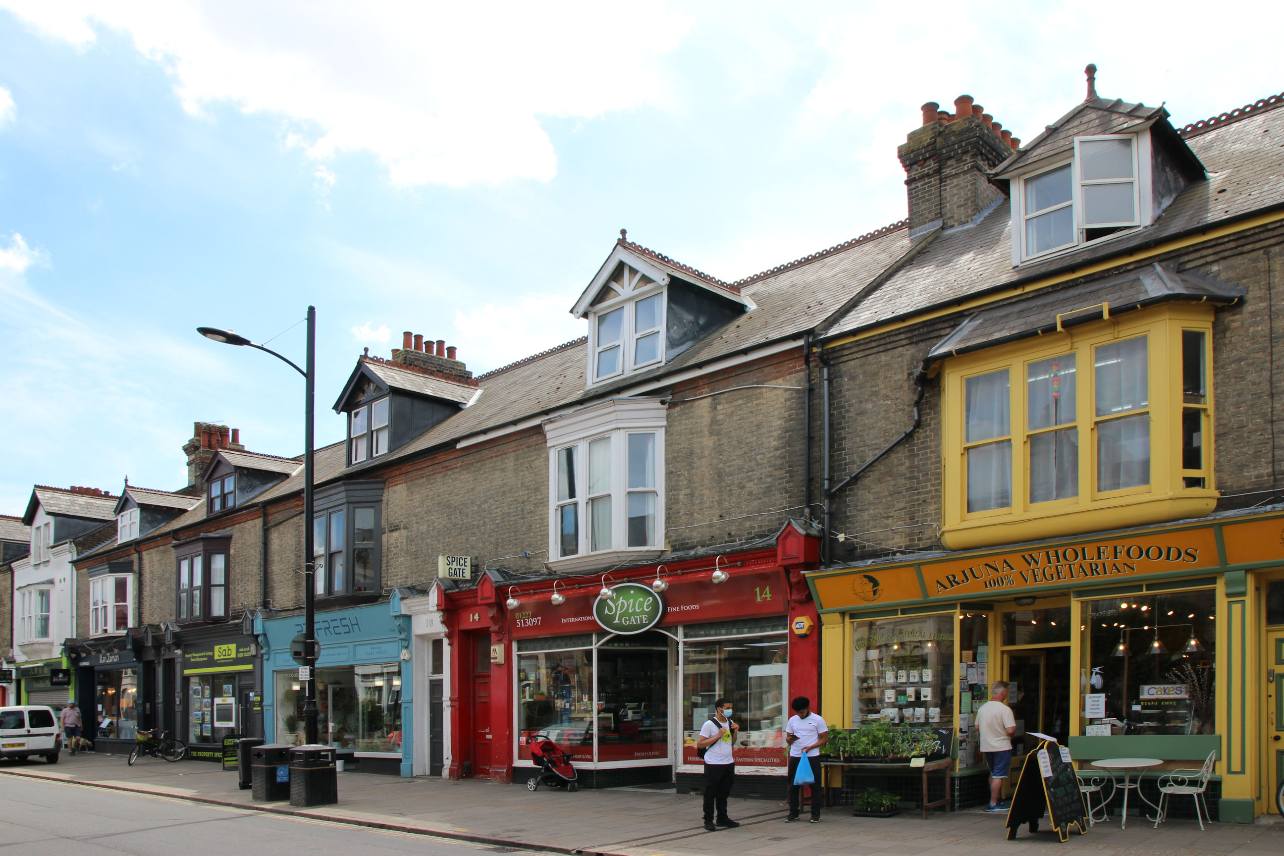
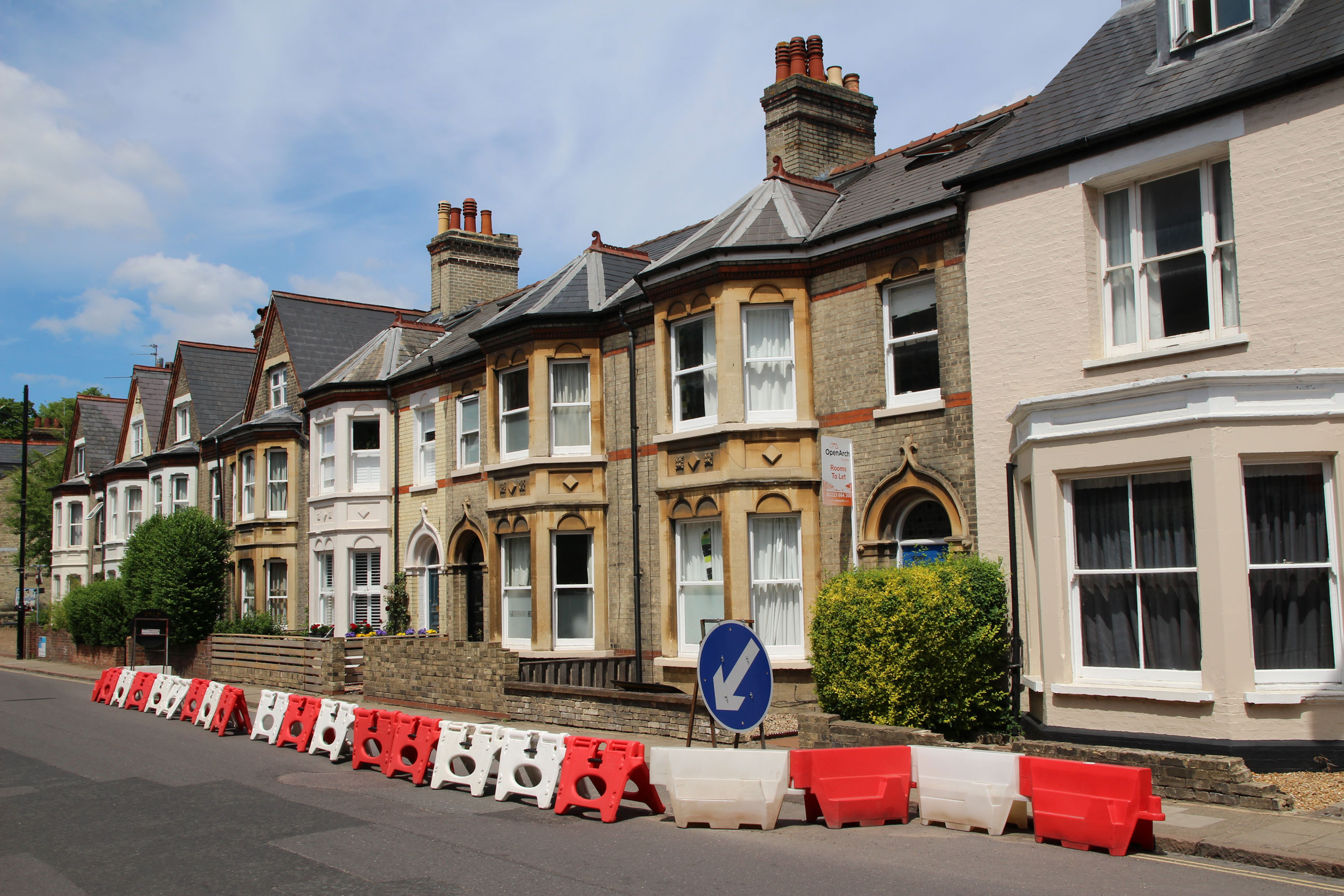
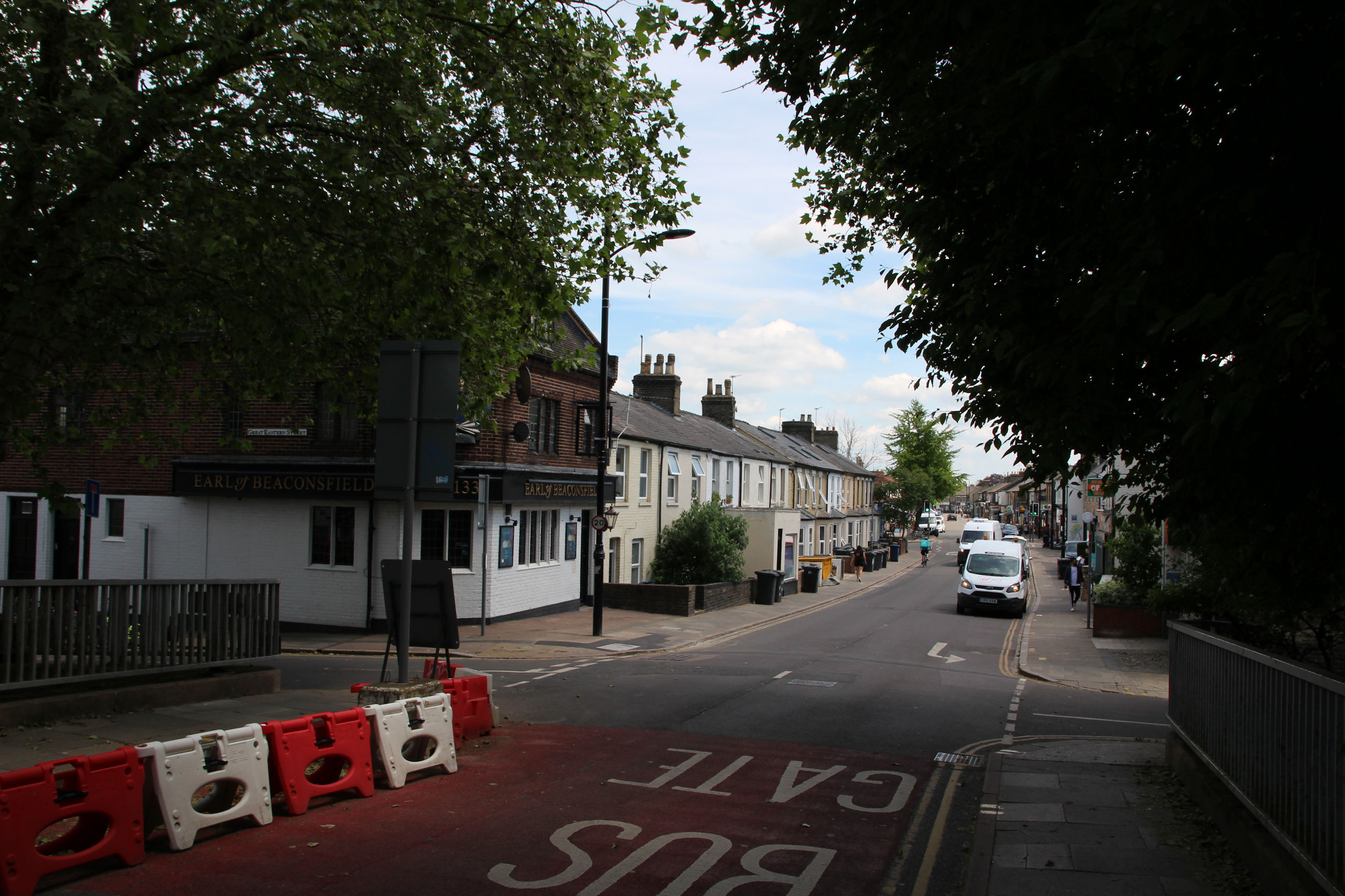
If you asked a resident of the area to conjure up an image of Mill Road, chances are it would look something like this. Arjuna has been here since the 1960s. The St Andrew’s Bureau letting agency has rebranded itself the more snappy Sab.
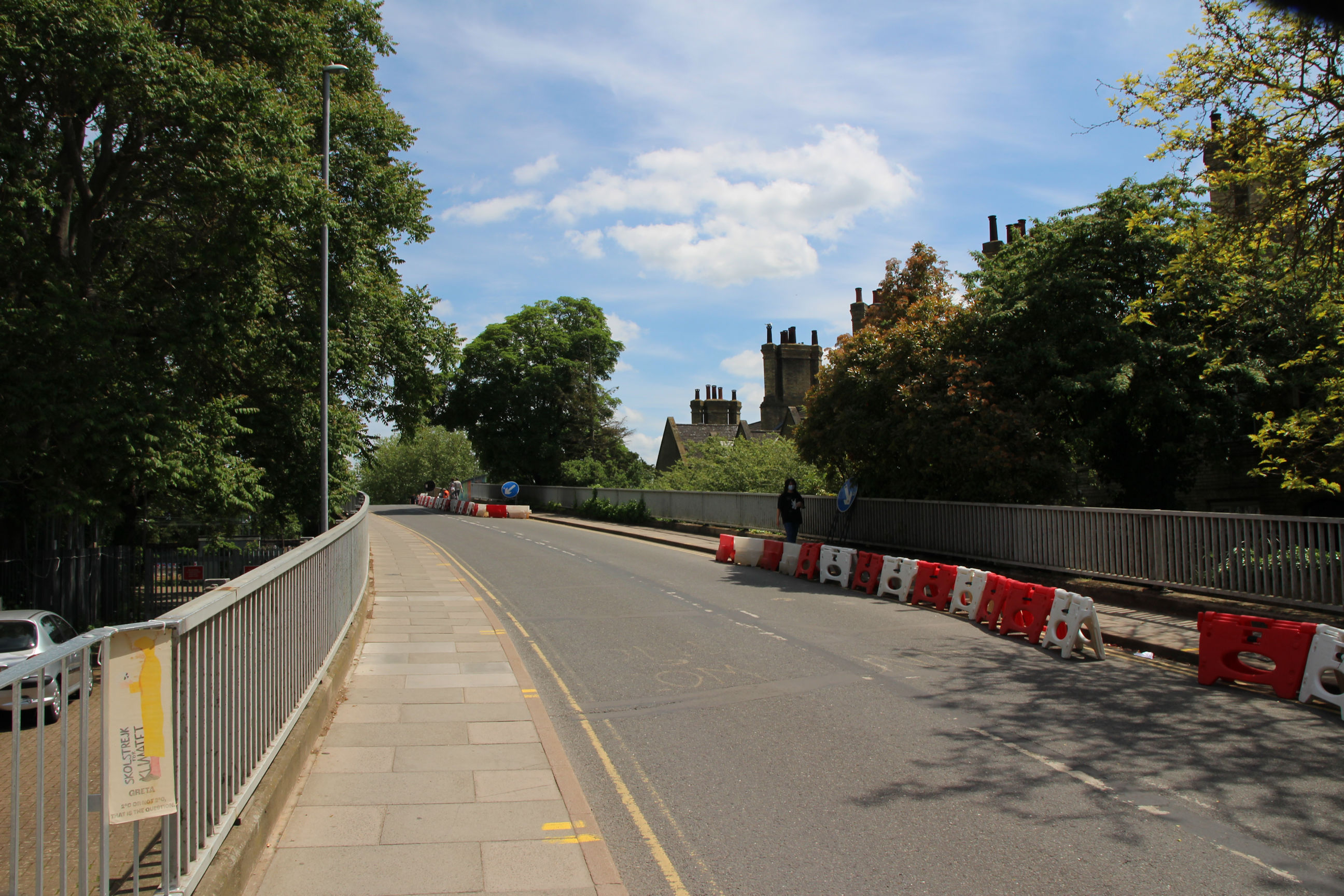
The ugly plastic barriers on the north side seem to be serving no purpose other than to restrict the road width. At the time of writing (June 2021) Mill Road Bridge is controversially closed to traffic other than buses, cycles and pedestrians.
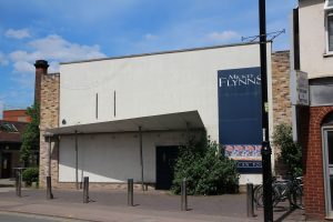
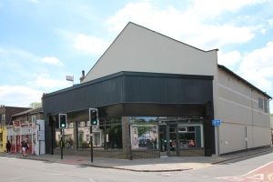
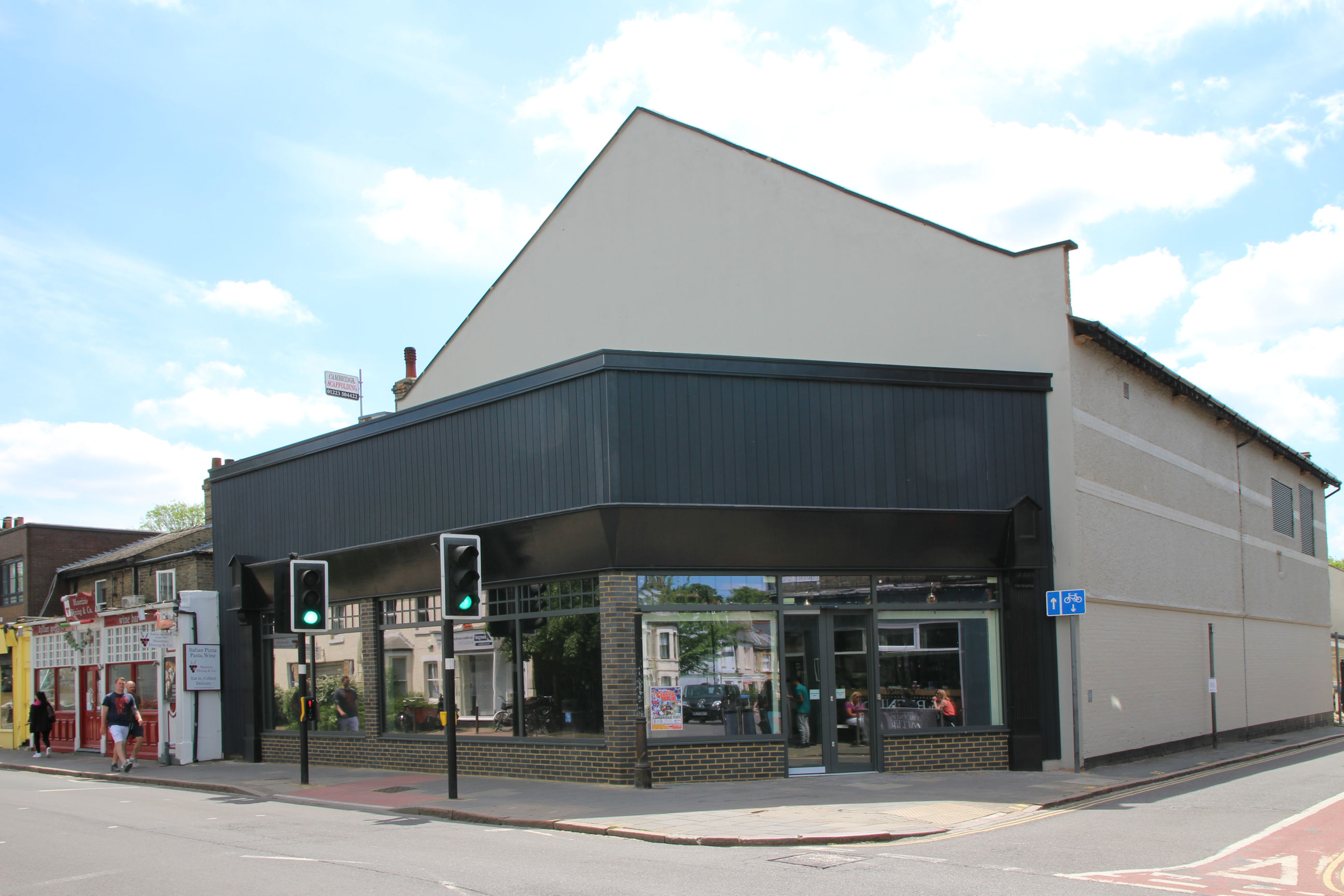
This was originally a cinema, with an attractive frontage that was destroyed to convert it to a supermarket in the 1960s. It later became the Salvation Army shop. That has now moved onto their own Tenison Road site – I’ll show that later – and this shop has been refurbished ready for re-letting.
Mill Road Cemetery
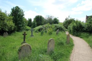
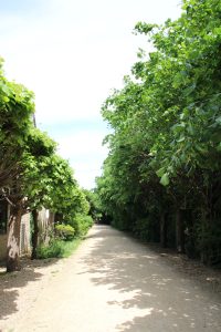
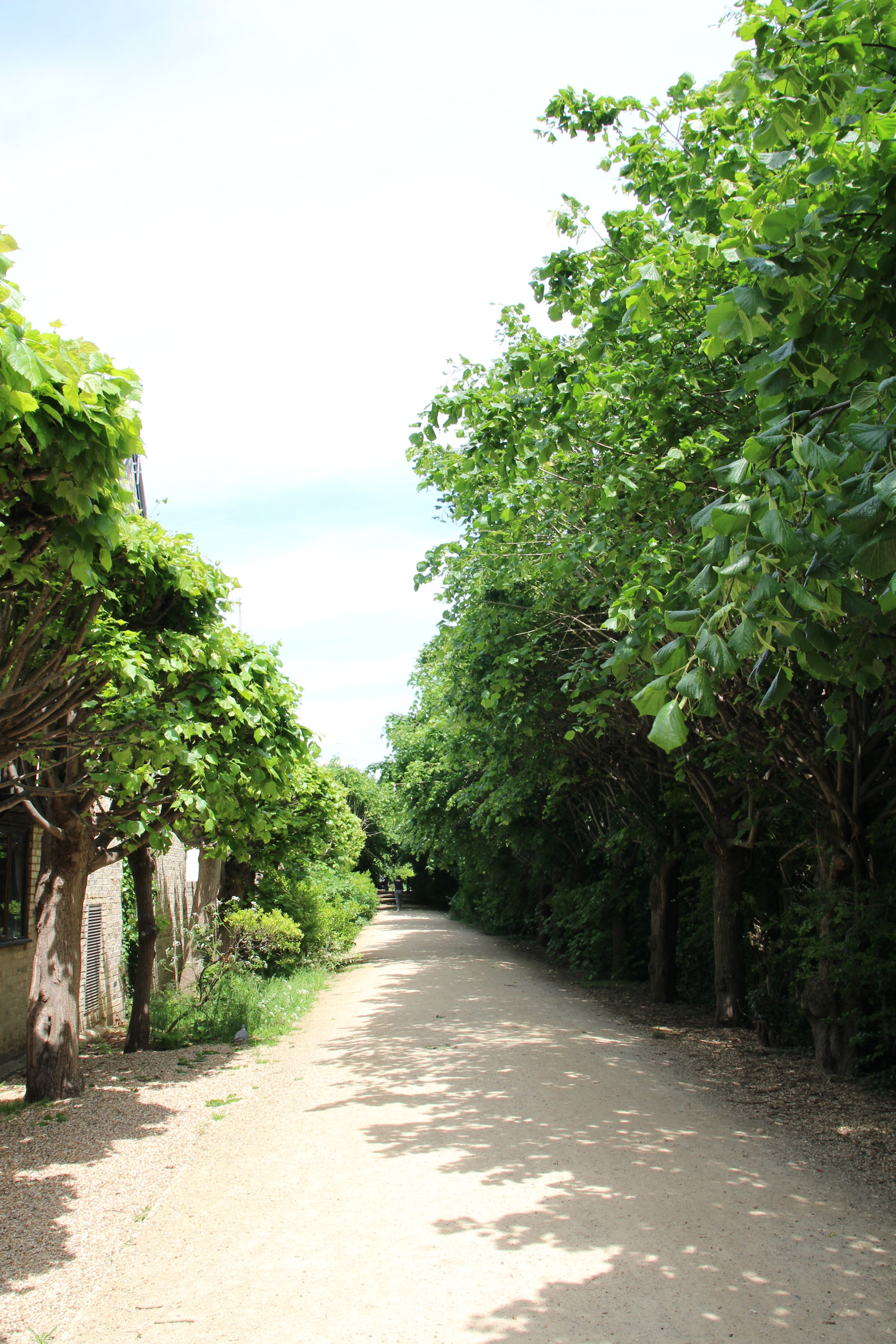
The cemetery is hidden up a long path from Mill Road.
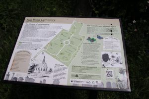
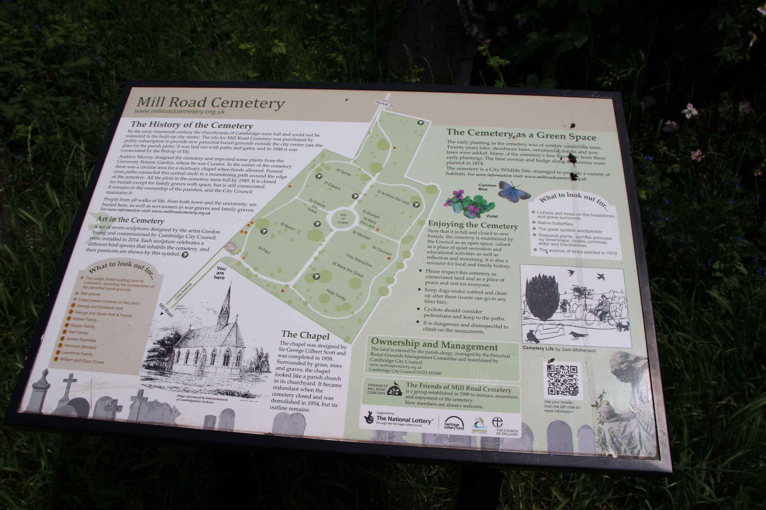
Information about the cemetery is on display near the entrance. I didn’t know about the former chapel before reading this.
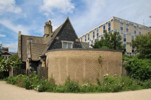
The lodge is pretty, but partially obscured by a wall and overshadowed by the Anglia Ruskin building behind it.
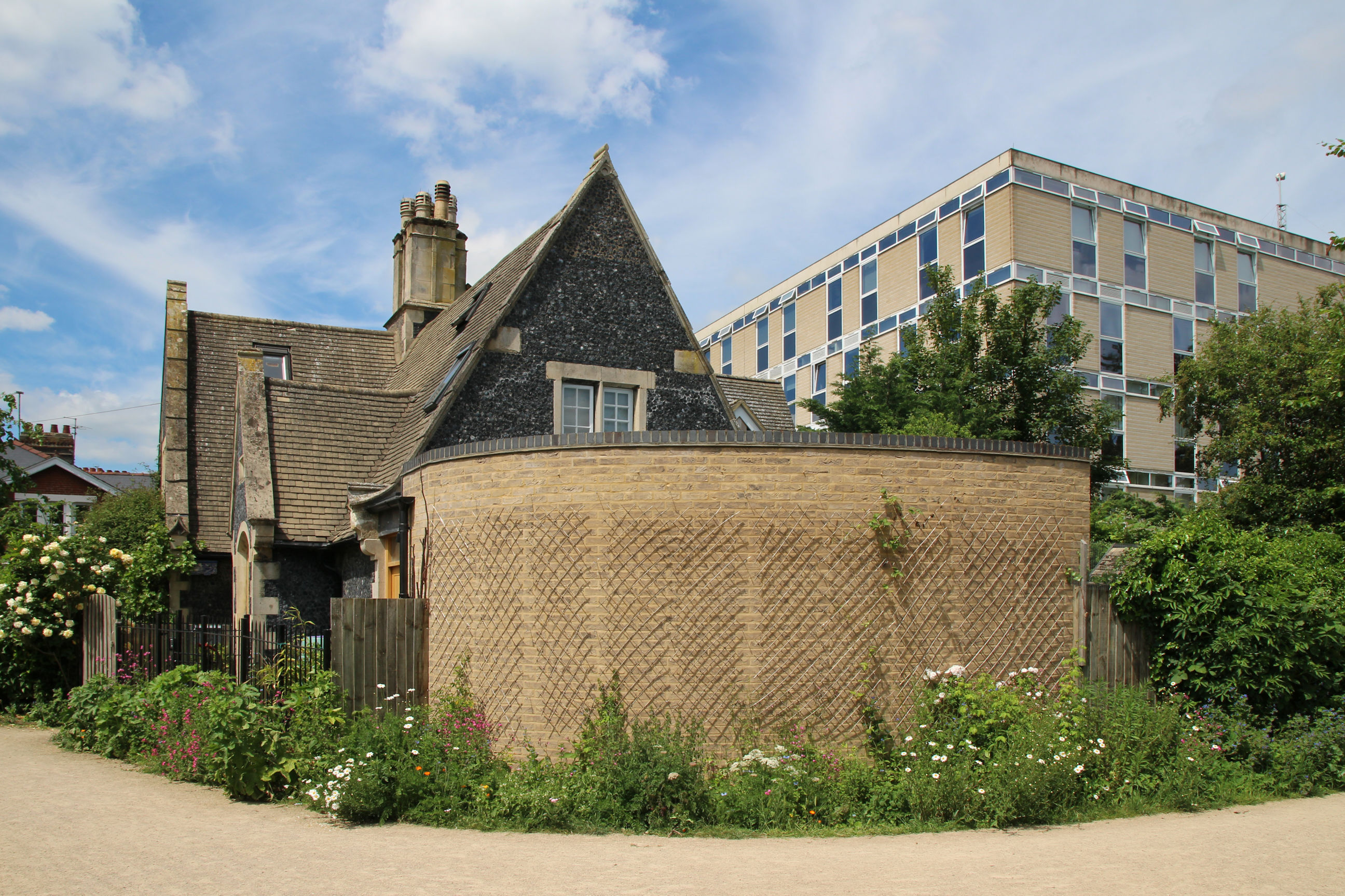
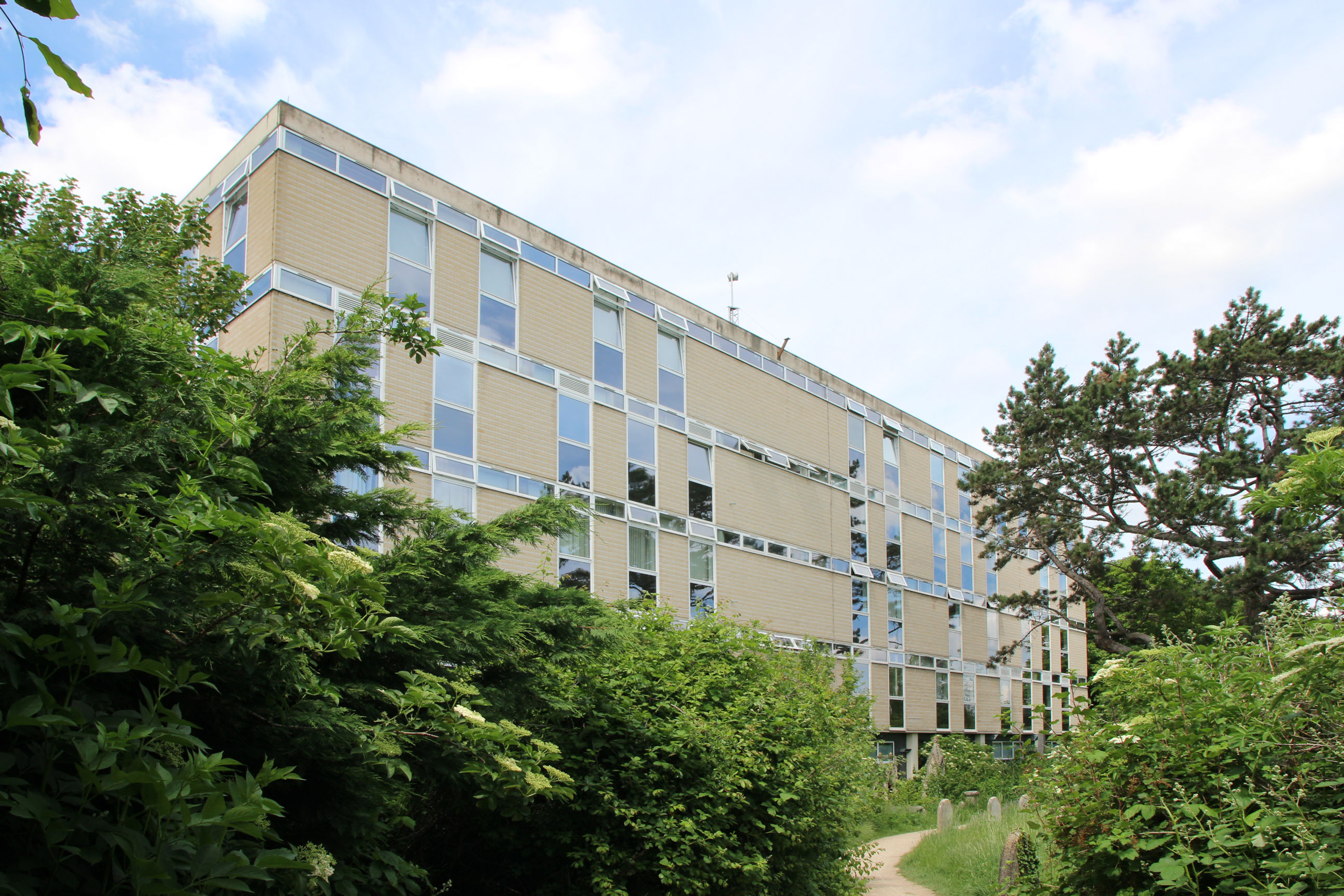
For those who prefer 1960s-70s architecture, here’s that Anglia Ruskin building in full.
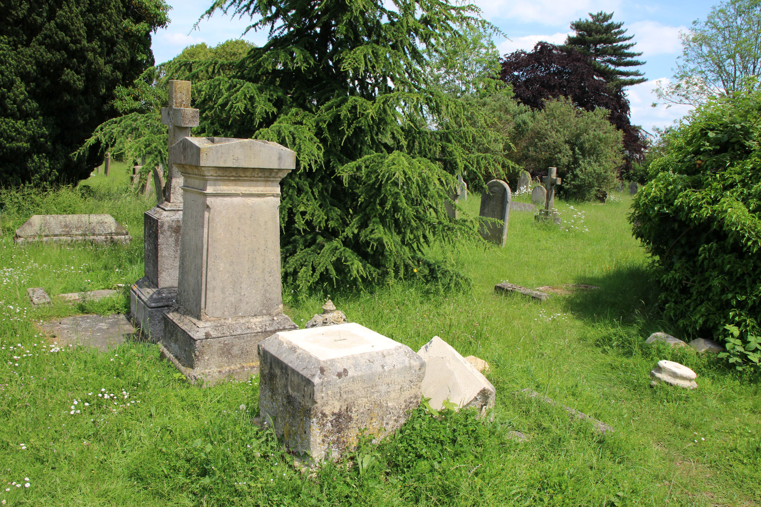
The cemetery is peaceful, full of birdsong and wild flowers. I’ve heard it described as a place where people in the busy surrounding area come when seeking some solitude. You won’t find that on Parker’s Piece.

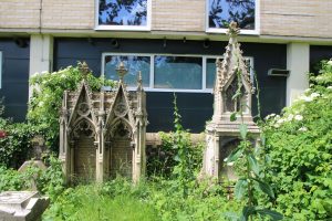
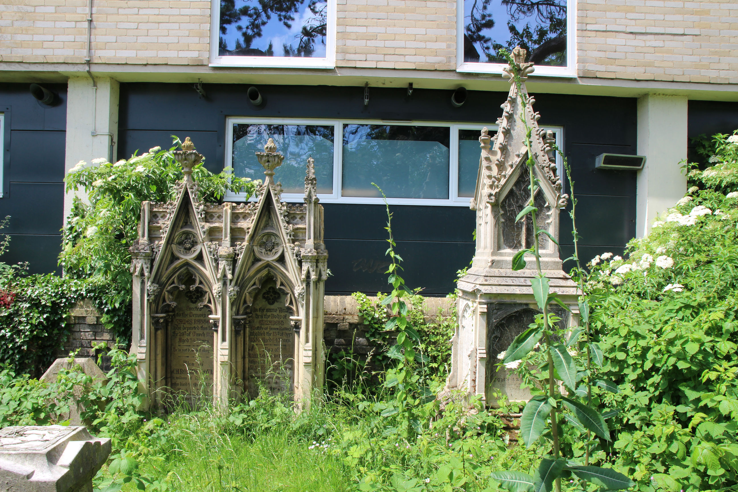
There are some quite elaborate memorials here.
Sadly there are also many that have been toppled and not repaired.
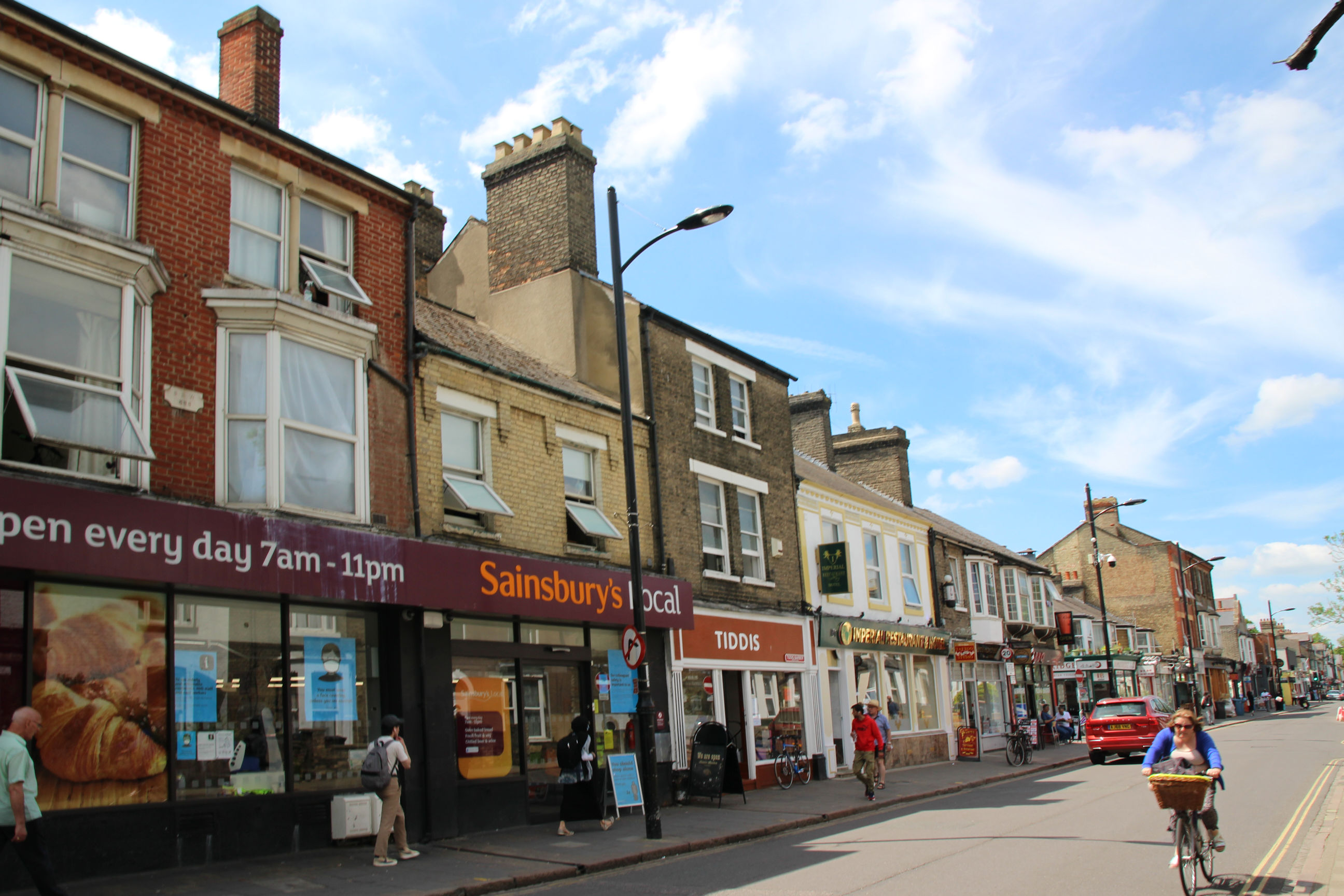
Salvation Army and St Barnabas
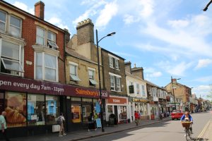
A view back along the south side of Mill Road close to Tenison Road. Sainsbury’s Local opened here a few years ago.
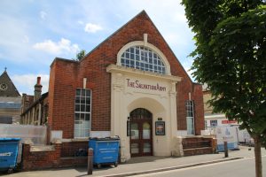
The Salvation Army community centre is currently closed while a major refurbishment project is underway. When that’s finished this needs a sign advertising their shop, which is now round the corner where passers-by won’t spot it. Plus a new letter ‘H’.

The hall itself will hopefully be refurbished in time for them to use it at Christmas.

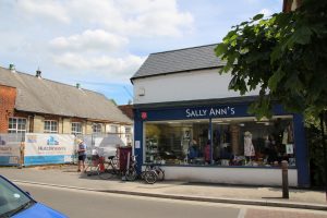
Whilst the hall is closed, the shop is very much open for business.

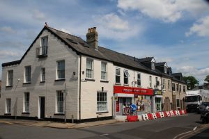
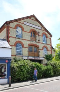
Although I’ve strayed a bit from Mill Road here, I’ll include Bolton’s Warehouse as it reminds me of the local historian Allan Brigham, who conducted a Mill Road History tour during a Mill Road Winter Fair 10 or so years ago. It started at Ditchburn Place and this is the first place he showed us. He’d researched its history for its current owners.

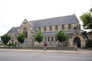
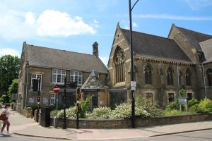
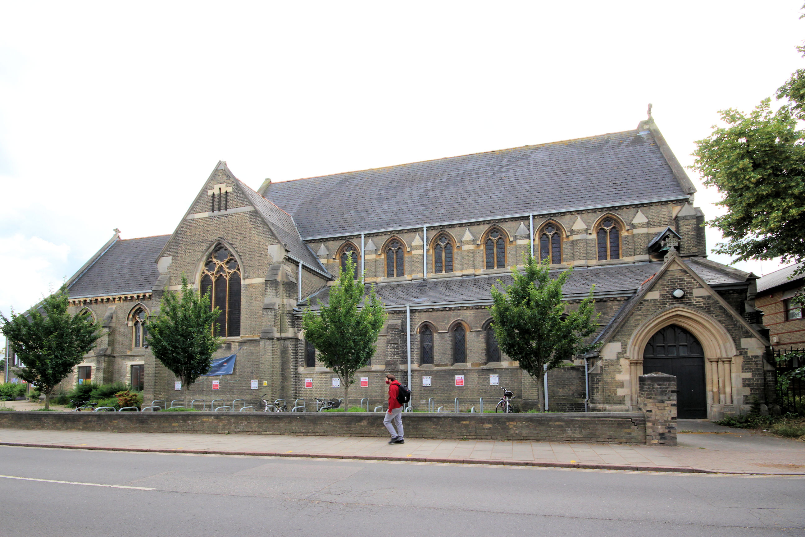
St Barnabas’ hall and part of the church itself. This was extensively refurbished about 5 years ago, but they didn’t clean the exterior brickwork as has been done with many “Cambridge White” brick buildings like Bolton’s Warehouse above.
Note to self: Come back here with the wide-angle lens to take a photo that fits it all in.

I took this one about 4 weeks later.
Bath House Area
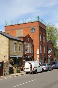
Looking north into Gwydir Street, the landmark Dale’s Brewery building now houses shops, workshops and offices.

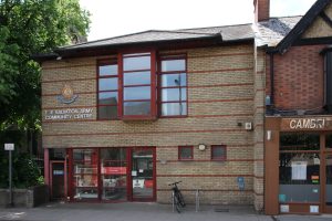
The Bath House used to be exactly that – somewhere to come for a proper bath if you didn’t have an indoor bathroom at home. It served that purpose until 1974, but there were still houses in the area with outside toilets and no bathrooms into the early 1980s. It’s now a community centre.

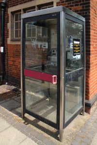
Outside the Bath House is a phone box that still contains a payphone. I haven’t checked whether it works. Compared with the stinky red ones, these 1980s-design ones were a breath of fresh air in every sense! The only downside was that the open base didn’t shut out traffic noise as well. Originally the reversed logo on the door would have been the right way round when viewed from outside.
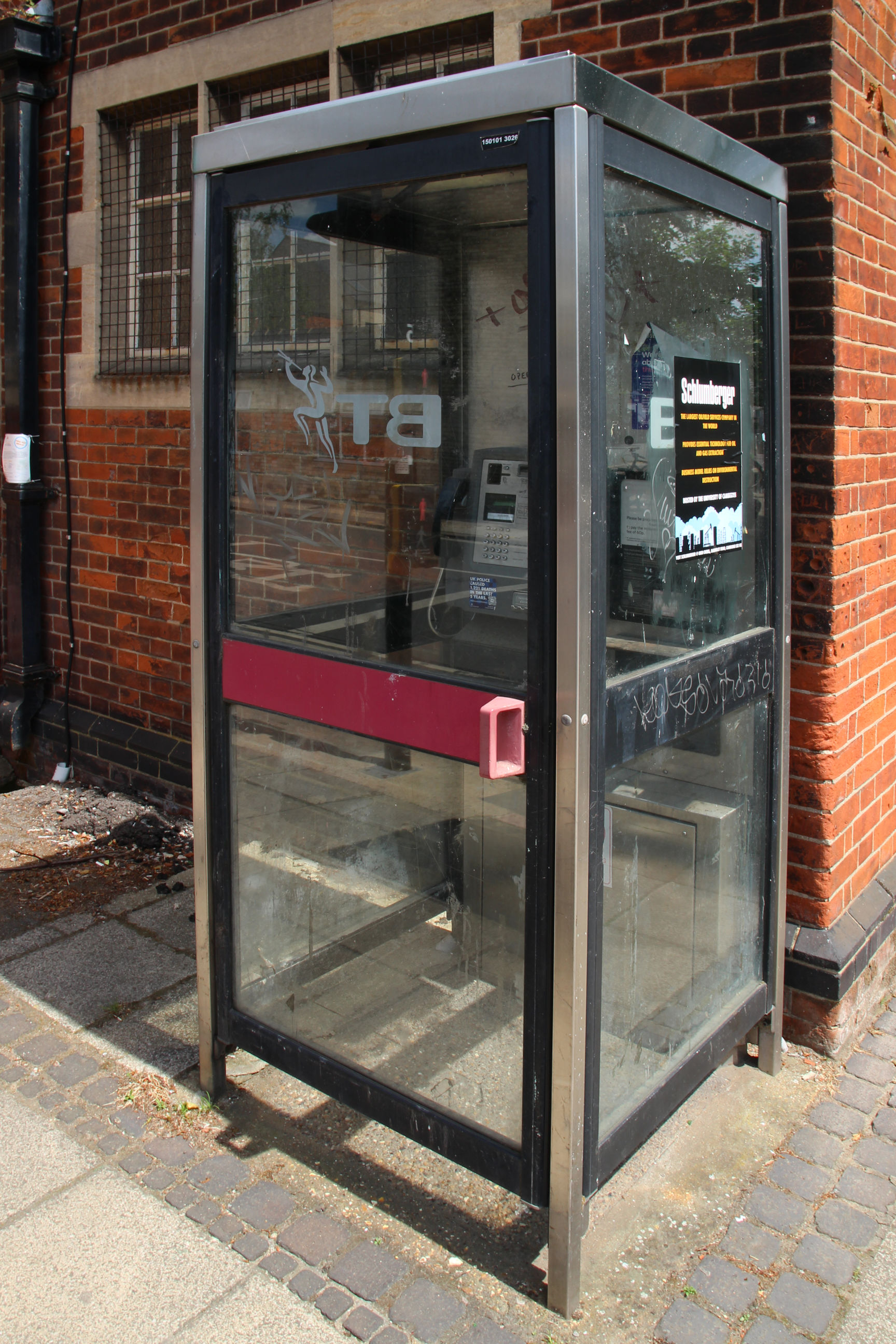
We had problems with one of these at home. The Bath House area will soon become a Virgin Media “notspot” if they don’t come and fasten these covers down – one cable is already trailing outside.
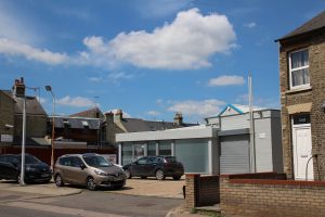
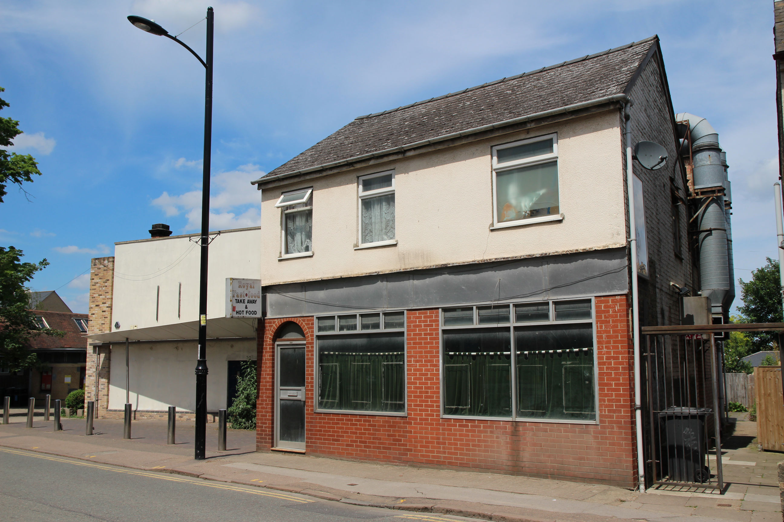
The Mickey Flinn’s American Pool Hall, previously the Carpet Mill, closed around 2015. I think there are ongoing planning wrangles over redevelopment of this site.
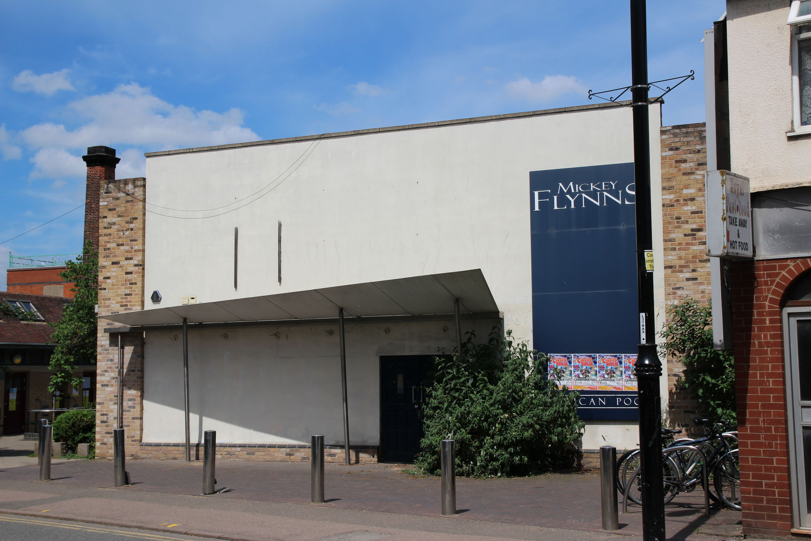
The neighbouring former chip shop closed about 30 years ago. For many years the shopfront had newspaper glued inside the windows. Maybe it’s awaiting redevelopment at the same time as the pool hall.
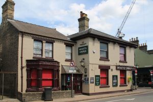
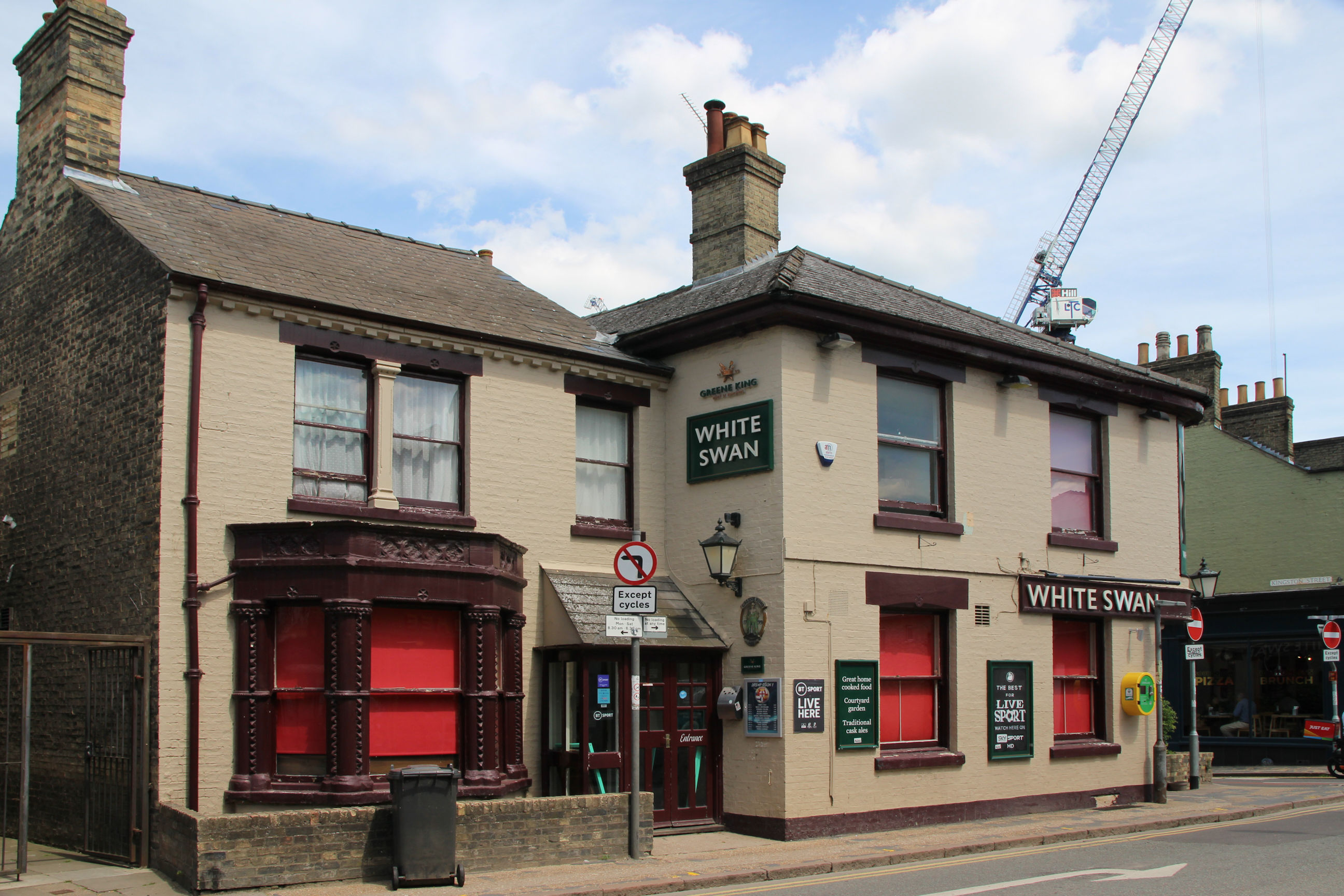
The White Swan appears to be closed at the moment, although it’s lunchtime. At the time of writing lockdown rules are still making life a misery for pub owners and customers, and have just been extended for another month. Customers are limited to distanced groups of 6, can’t go up to the bar and have to wear masks except while seated.
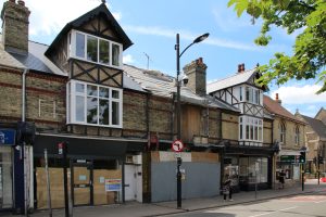
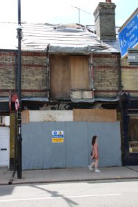
Two years ago a fire in the H. Gee electrical shop caused extensive damage. The next-door optometrist’s has reopened and the former tattoo parlour to the left is being refurbished, but there is no sign of work to repair the Gee shop itself.
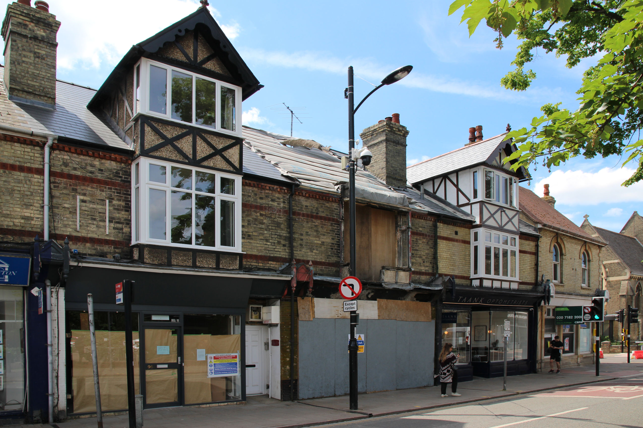
All that can be seen is a sign warning people to keep out of the fire-damaged building. For safety reasons what remained of the dormer was removed immediately after the fire. H. Gee was a family business that had been here since the 1940s and was still open at the time of the fire, although not full-time.
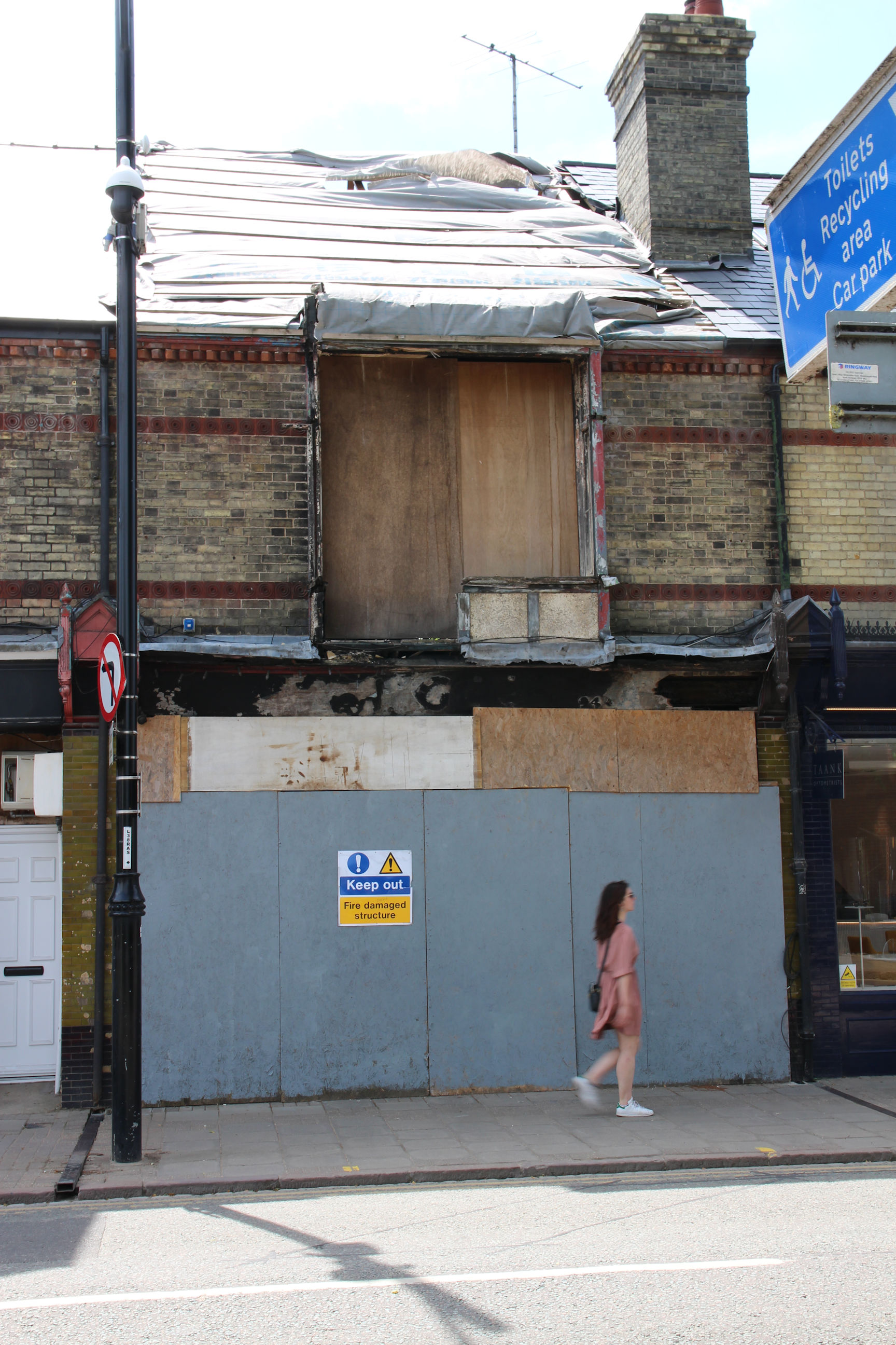
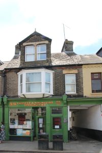
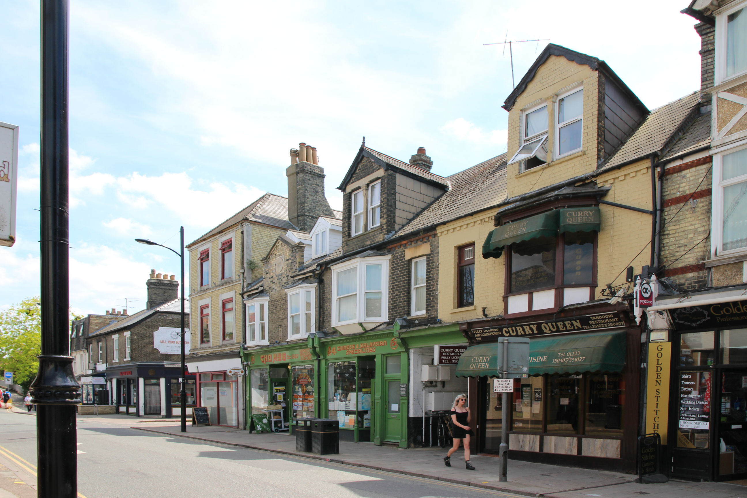
The Curry Queen Indian restaurant is another Mill Road institution that has been here since at least the mid-1980s.
This was my first workplace! Our company (SJ Research) had offices in the two floors above the shopfront and a workshop behind it, entered via the side passage. I only worked here for a few months before we moved – to the Intercell (Tartan) office block on the corner of Coldham’s Lane, now the site of a Premier Inn.
Railway Bridge Area
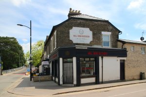
On the corner with Devonshire Road is a traditional butcher’s shop.

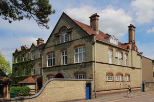
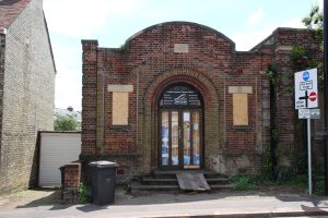
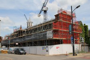
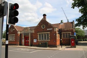
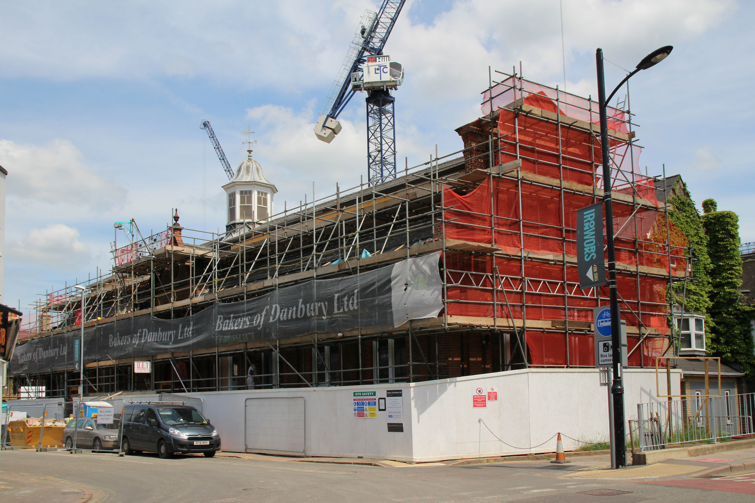
The building obscured by the scaffolding is the former Mill Road Library. It later served as a Buddhist Temple, but was in a poor state of repair. Apparently it’s being renovated by the Council, who still own it, but no future use has yet been announced.
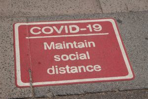
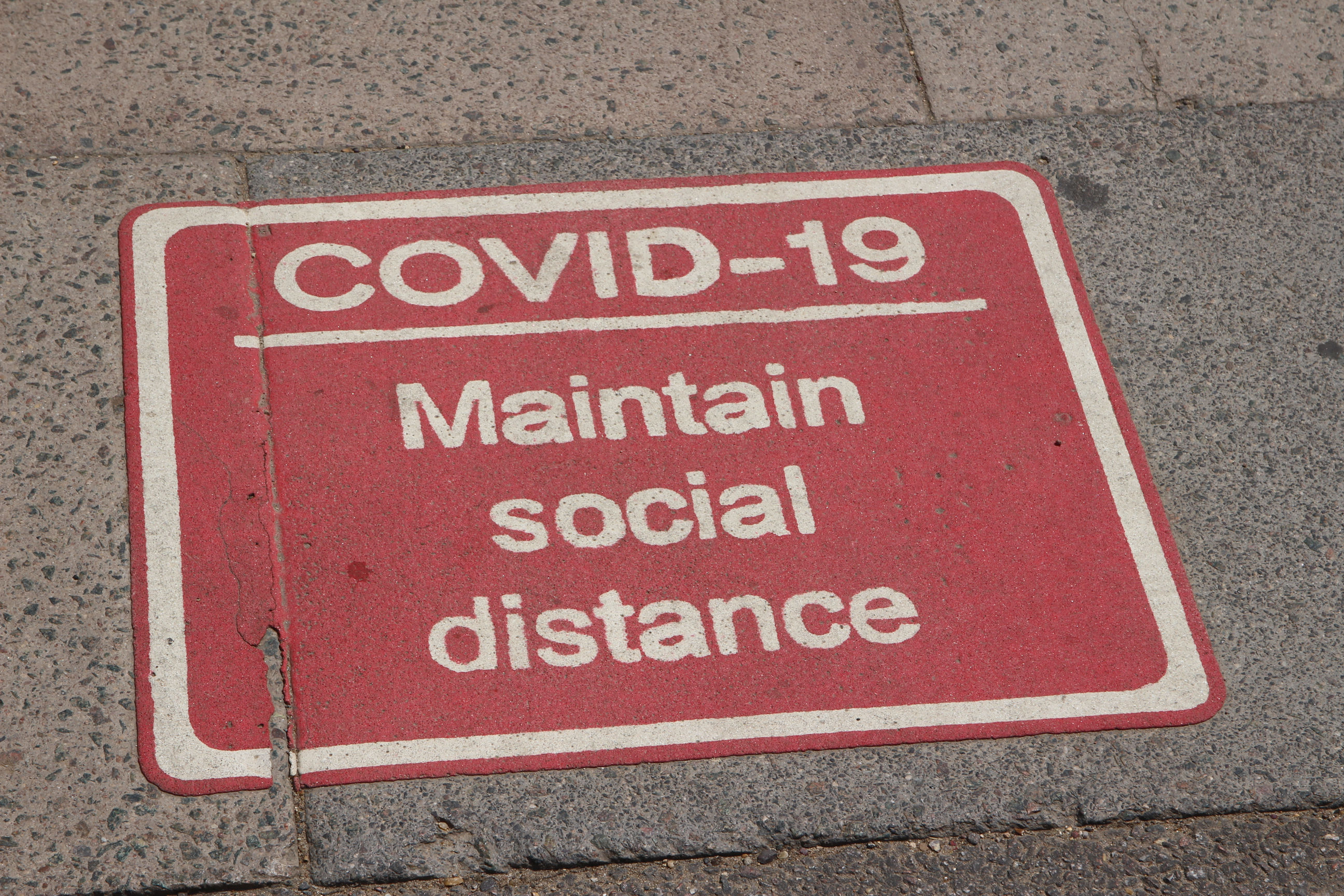
A one-way system was introduced for pedestrians crossing the bridge, alongside the controversial closure to traffic apart from cycles and buses. Now it’s been established that you don’t catch COVID by momentarily passing people outdoors it tends to be ignored.
The bridge is quiet because of the traffic closure. I note there’s a sign promoting Greta Thumberg’s Skolstrejk (School Strike For Climate) on the left.
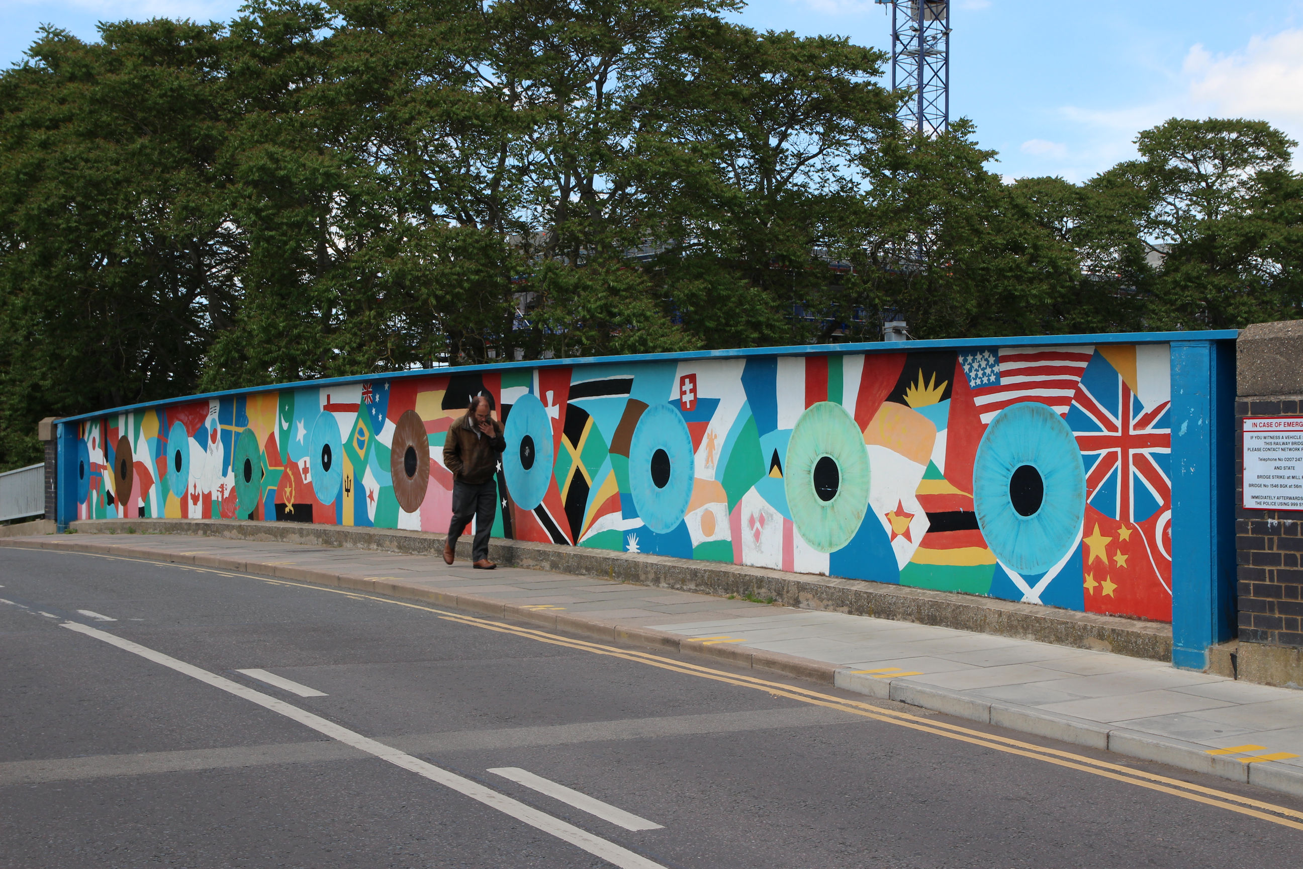
Both sides of the bridge are decorated with colourful murals. This is the north side.
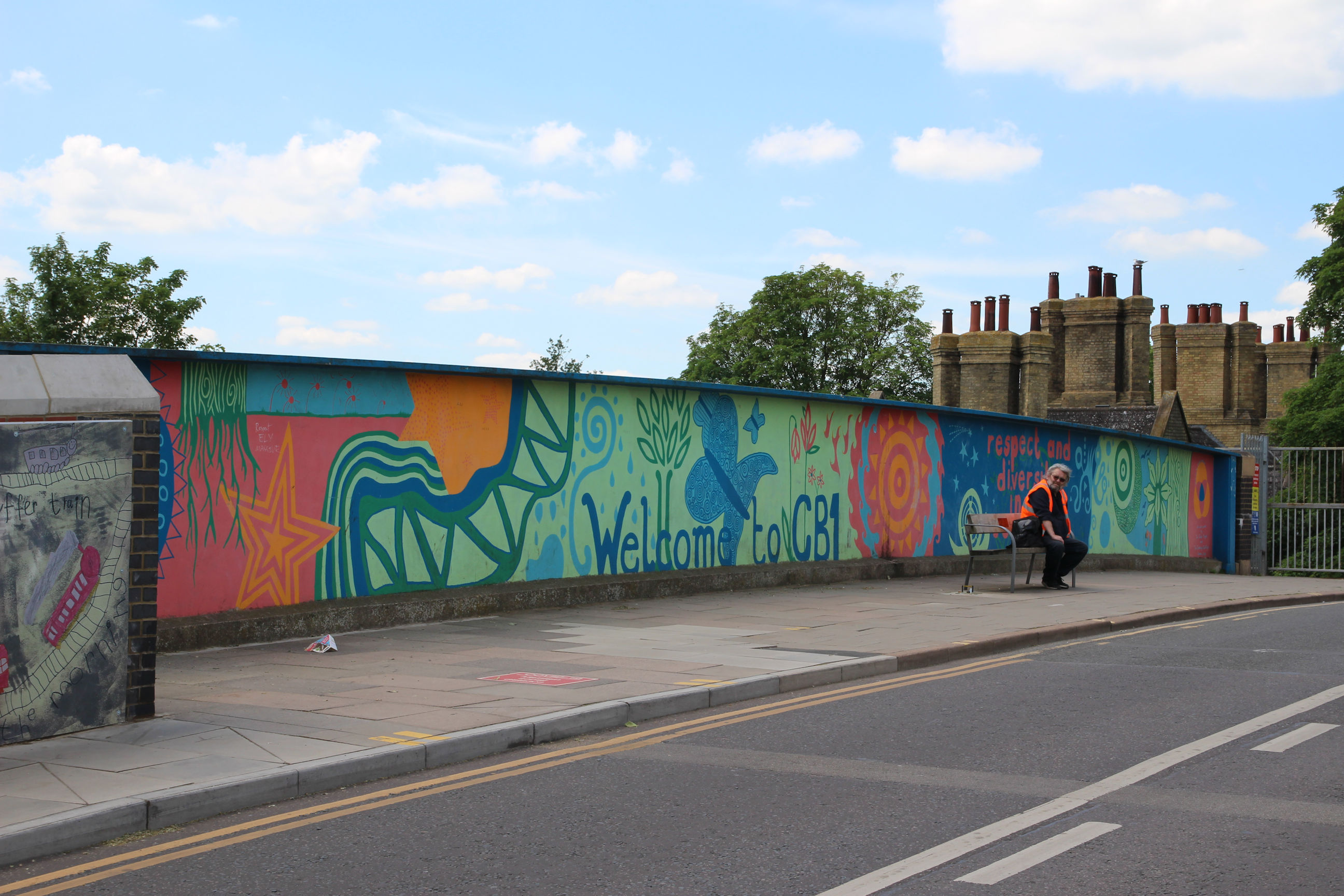
Here’s the south side, with the almshouses in the background. Welcome to CB1 – unless you’re in your car!
Romsey – West of Coleridge Road
Welcome to Romsey – Unless you’re in your car!
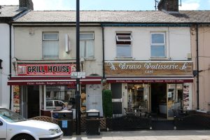
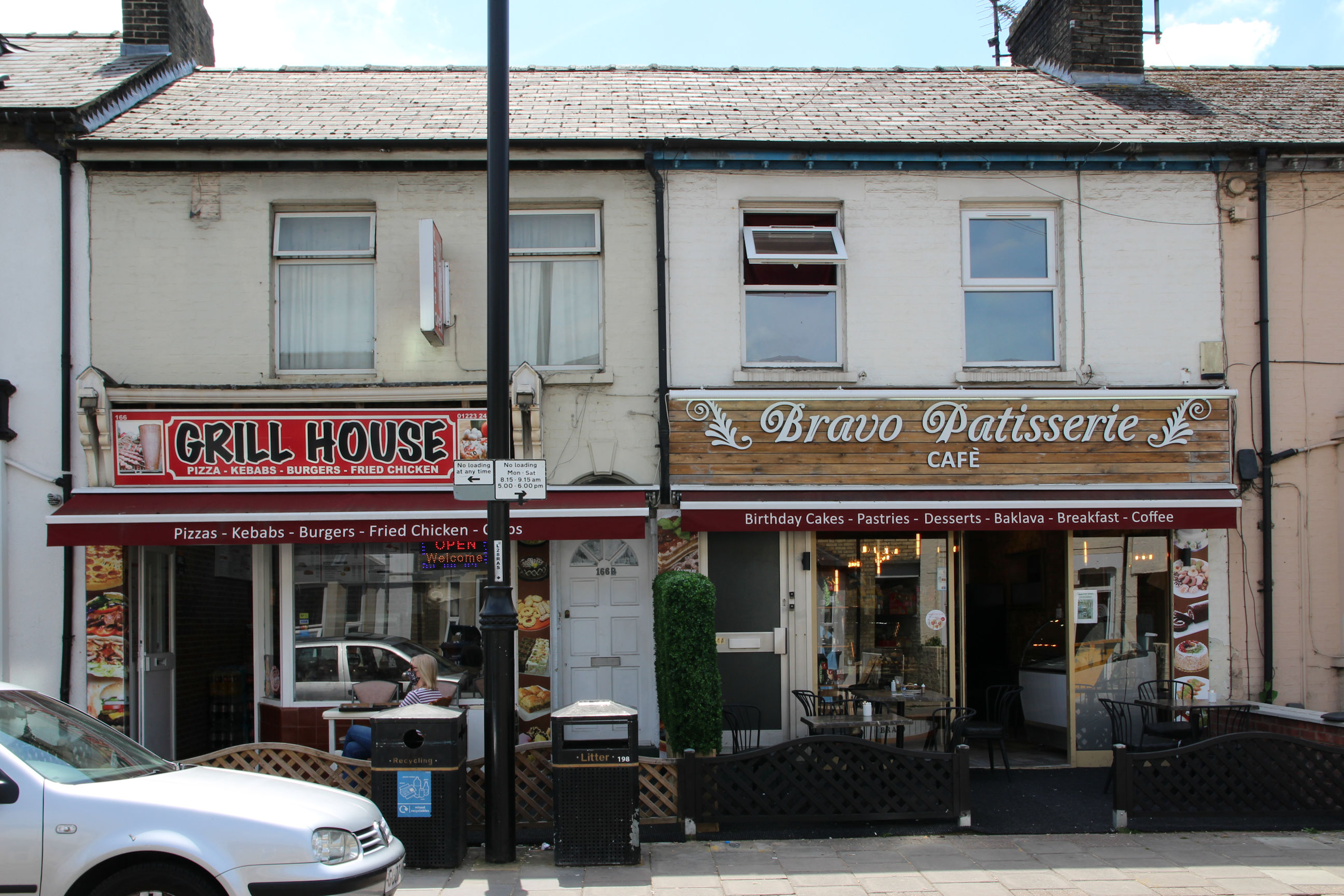
The long-established Grill House takeaway has gained a sister business called the Bravo Patisserie in the adjoining premises, which had lain disused for a long time.
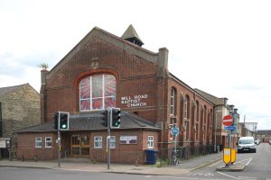
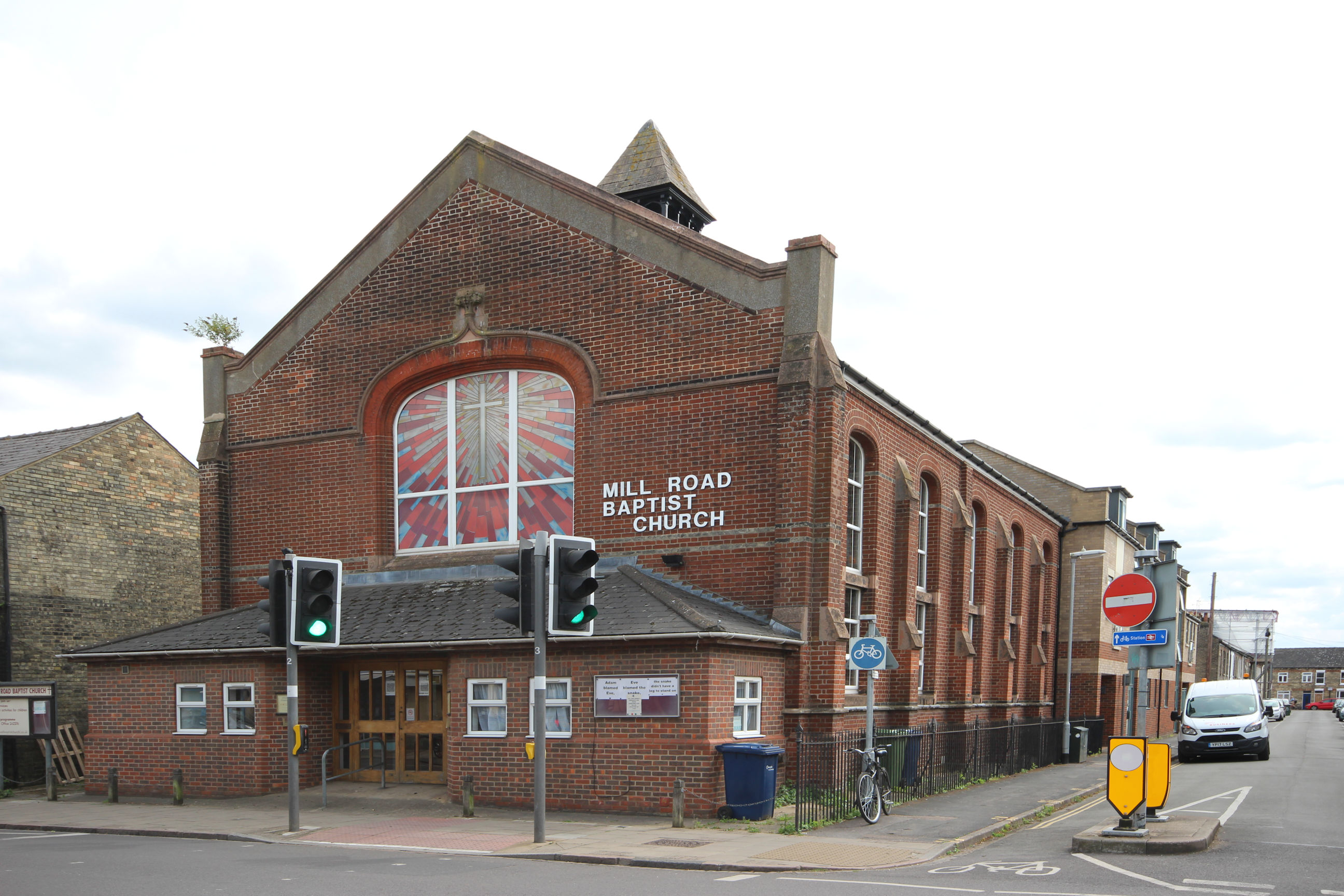
This picture of Mill Road Baptist Church was taken on my July return visit – I hadn’t photographed it at all on the original walk.
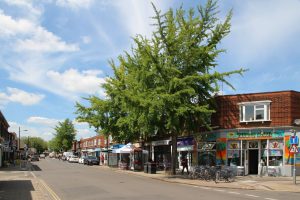
Looking back along Mill Road Broadway towards the bridge. No idea why anyone needs to be in the tanning salon today – it’s been hot and sunny all week.

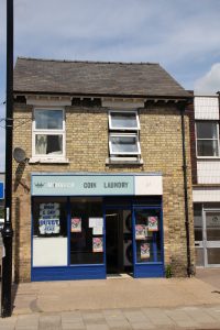
One of a diminishing number of launderettes in Cambridge – a reminder of bedsit years!

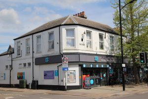
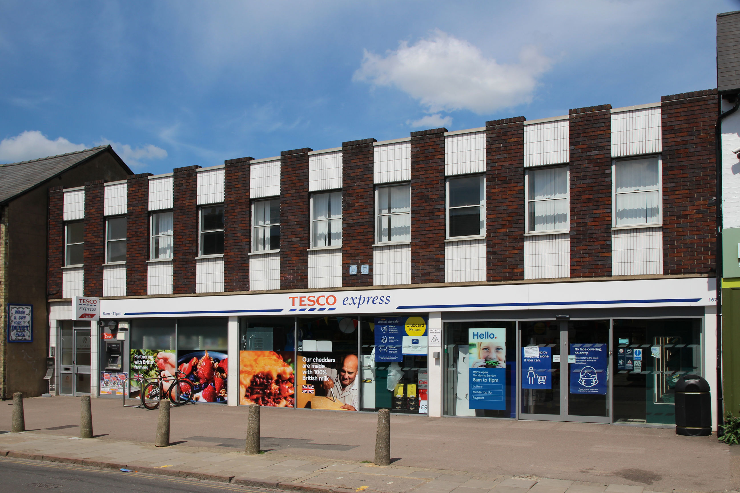
When this Tesco store opened in 2009 there was a local campaign opposing it. There’s generally opposition whenever shops in Mill Road that were run by independent local traders get taken over by national “clone town” chains.
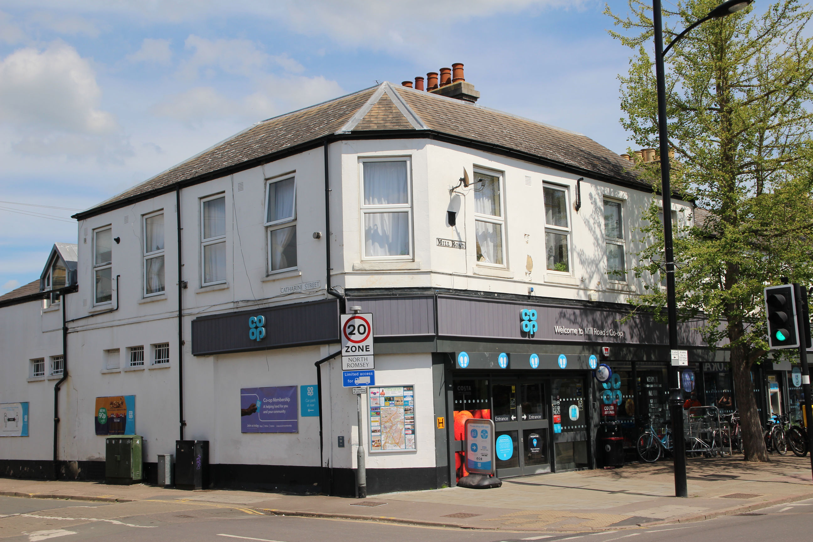
To be politically correct, instead of shopping at Tesco you should shop at the Co-op, which has been here for decades.
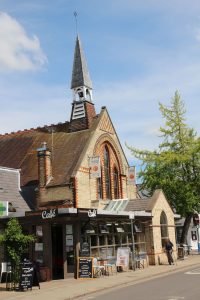
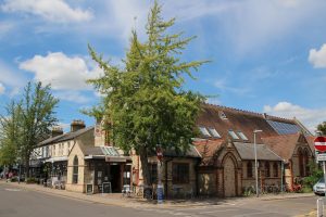
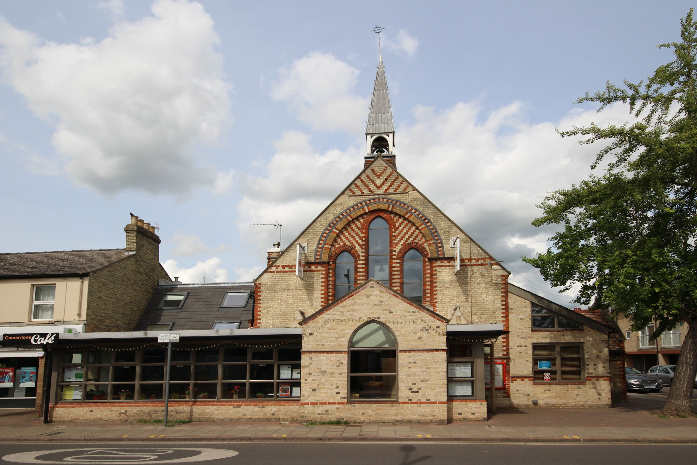
St Philip’s was remodelled about ten years ago, adding the Cornerstone Cafe at the front. Unlike St Barnabas the brickwork has been cleaned.

Viewed from the opposite corner it’s gained some modern features like Velux windows and solar panels – and the tree almost completely obscures its spire!

As with St Barnabas, returning with the wide-angle lens enabled me to get a better view.
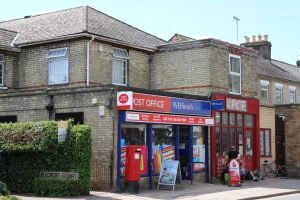
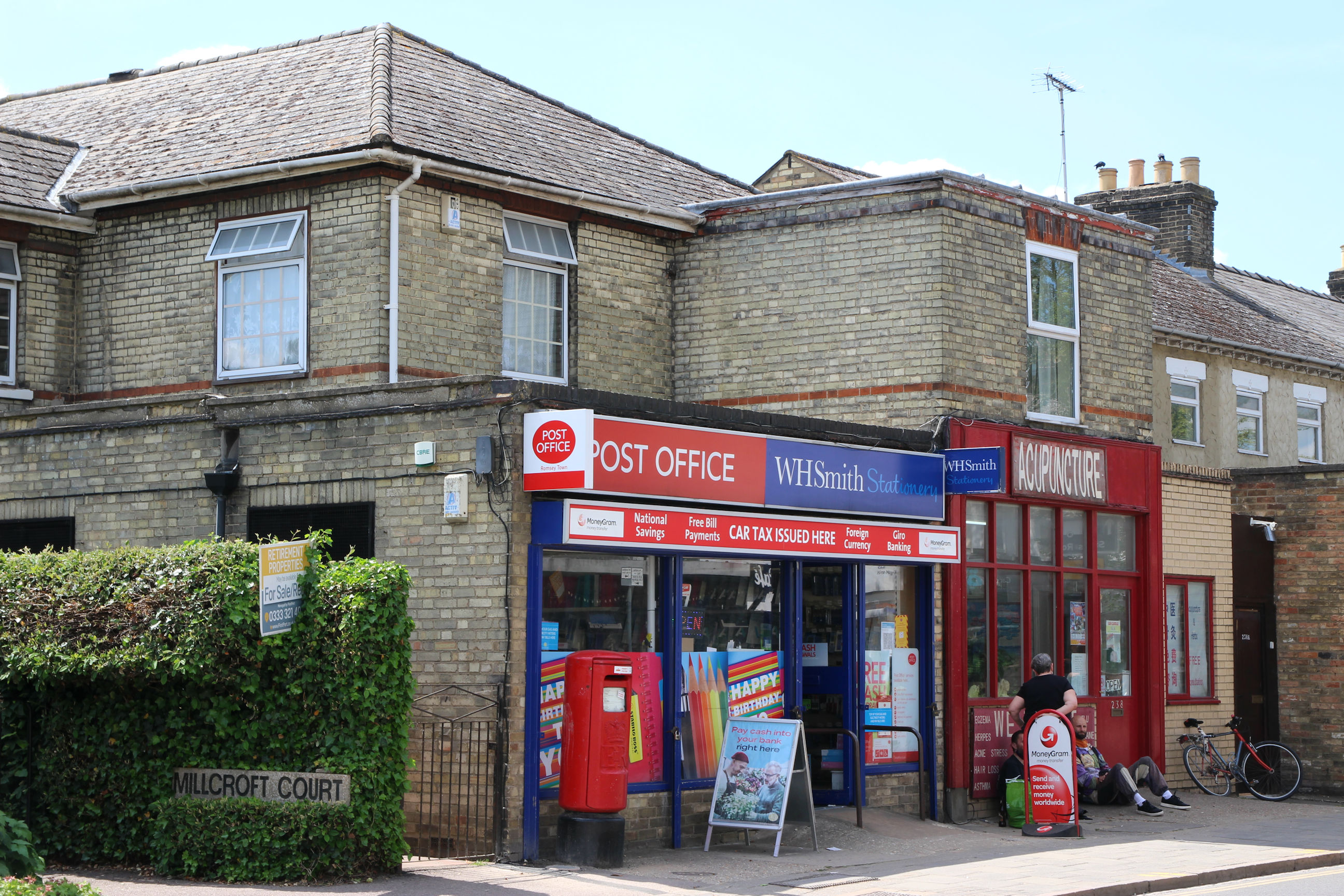
Since the post office on the corner of Perne Road and Radegund Road closed, this is the closest one to Home. The W.H. Smith stationery branding is a recent change.
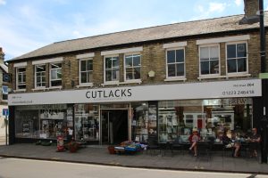
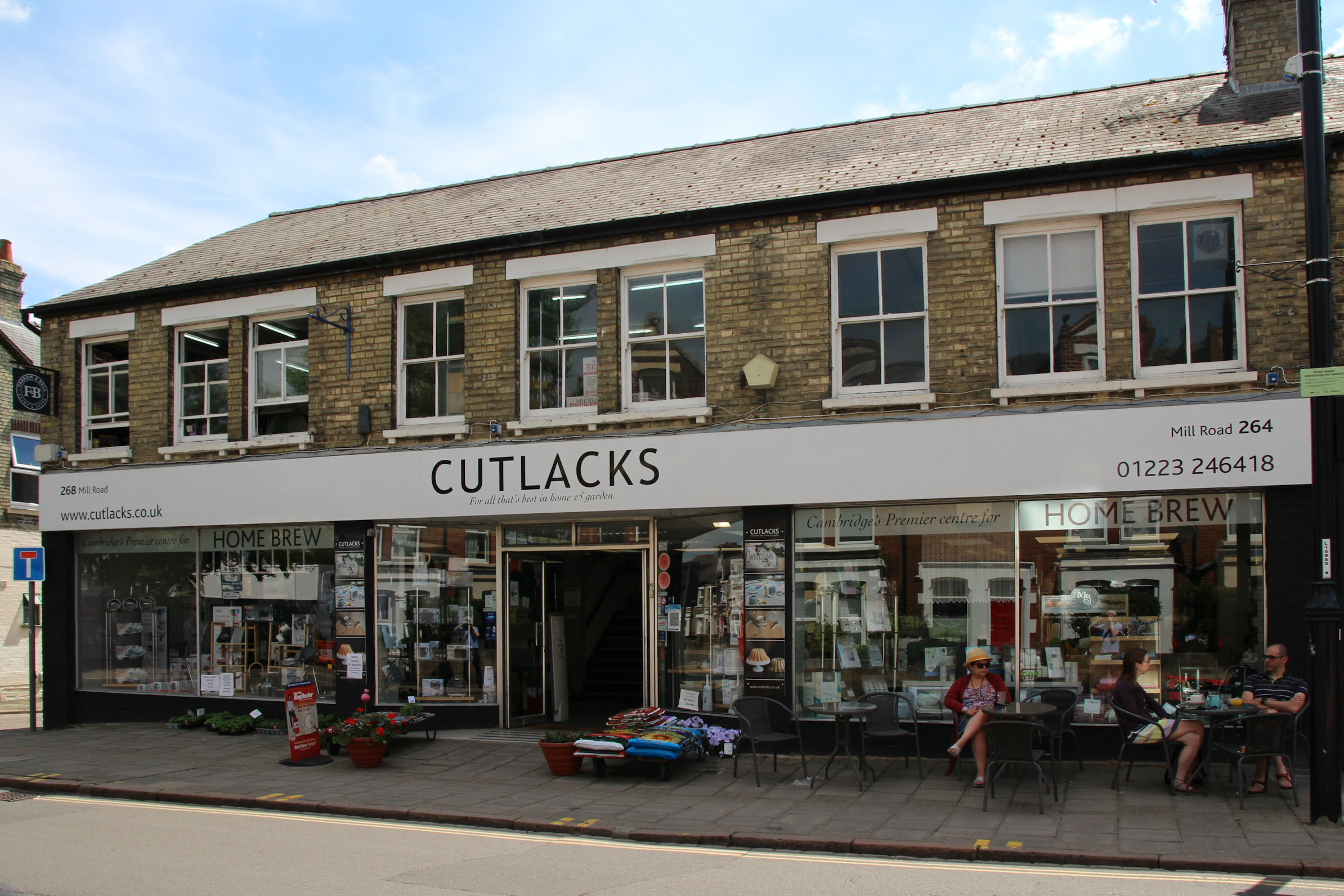
Cutlacks used to have several kitchen, garden and DIY stores in Cambridgeshire, but now only two remain: this one and one in Ely. To the right of it is the Relevant Record Cafe, a record store and cafe which presumably owns the pavement tables in this picture.
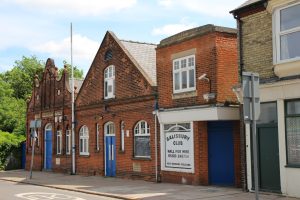
The Salisbury Conservative Working Men’s Club, to give it its full title, has stood the test of time better than the Romsey Labour Club, but I can see it going the same way eventually.

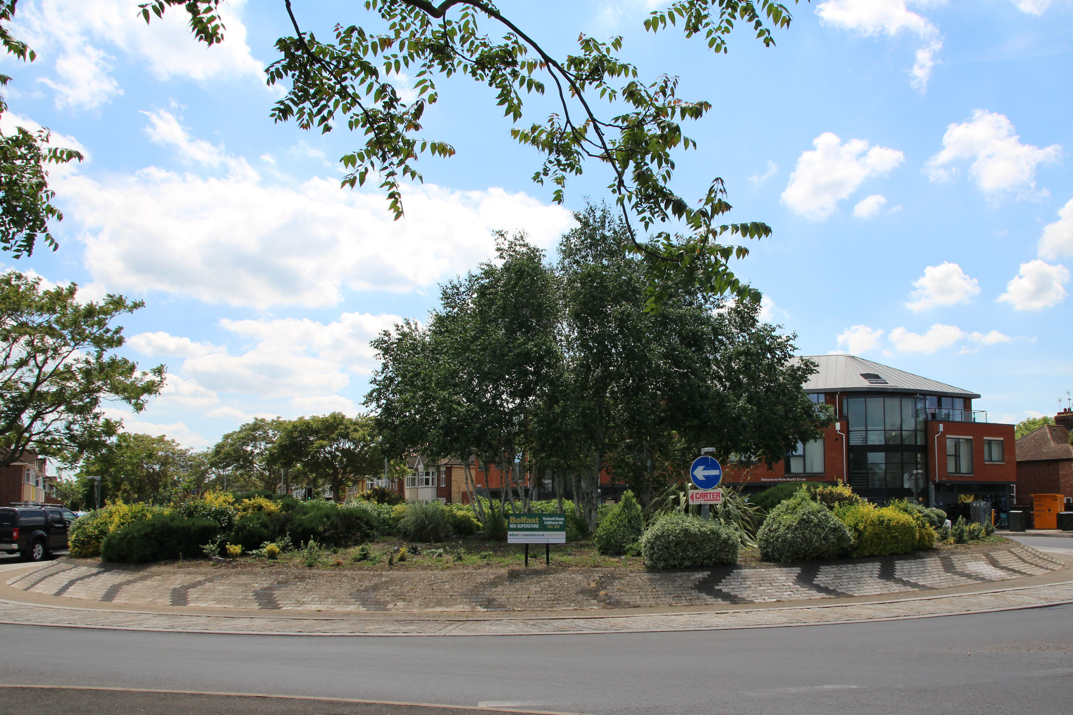
There has been a campaign for Romsey to be made a Conservation Area like other parts of Cambridge. The Cambridge Bed Centre on the corner of Ross Street was one of two “eyesore” sites on Mill Road that they felt detracted from the area. I’ll come to the other later. Planning permission has been granted for this site to be redeveloped as a retail unit, terraced houses and flats, and the Bed Centre building has recently been demolished.
Romsey – East of Coleridge Road
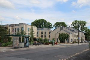
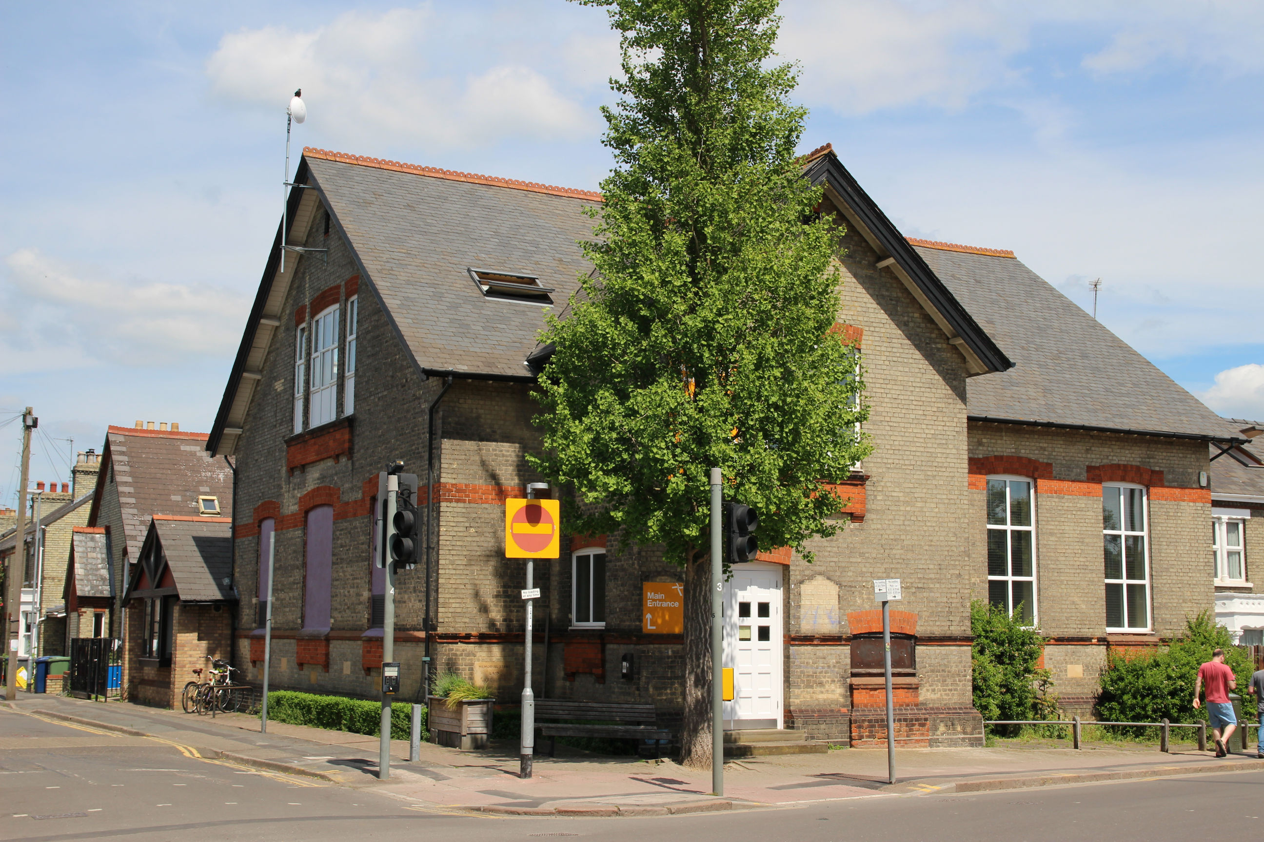
The Romsey Mill Community Centre, on the east corner with Hemingford Road.
A property developer has been wanting to redevelop the Romsey Labour Club for at least a decade. The club itself closed some years ago, although other businesses and charities continued to use the wings of the building. Planning permission has been granted to redevelop it as student flats, with a gym, cafe and community space, and it now appears totally unoccupied, but there’s no sign of work starting yet.
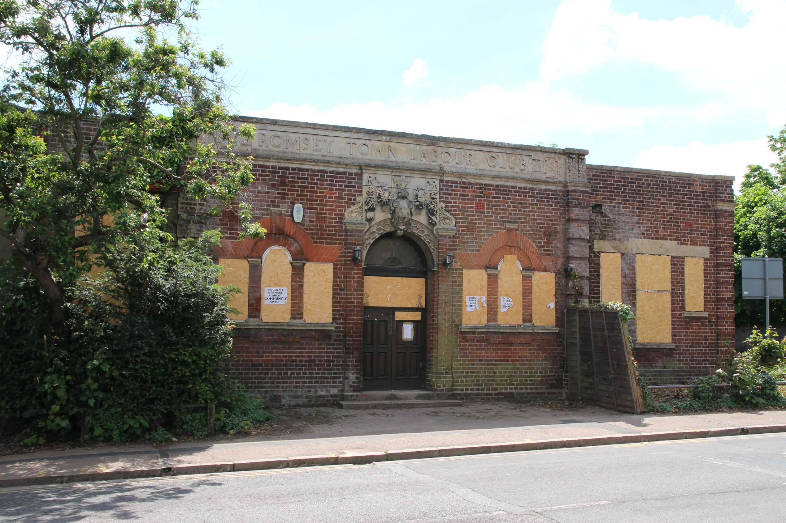
Between 1997 and 2010 I belonged to an independent gym called Keeping In Shape here. In 2010 it closed down as the long-term future of the building was already uncertain, and it needed investment in refurbishment and new equipment if it was to continue. Later the wing was occupied by other fitness businesses of a sort that didn’t really need a long-term commitment to the building.

The Avis Car Rental site is the second of two that proponents of a Romsey Conservation Area wanted to see leaving Mill Road. The premises are well-maintained at the moment.

A look down Malta Road from Mill Road. These new Victorian-style houses feature a bricked-up window!

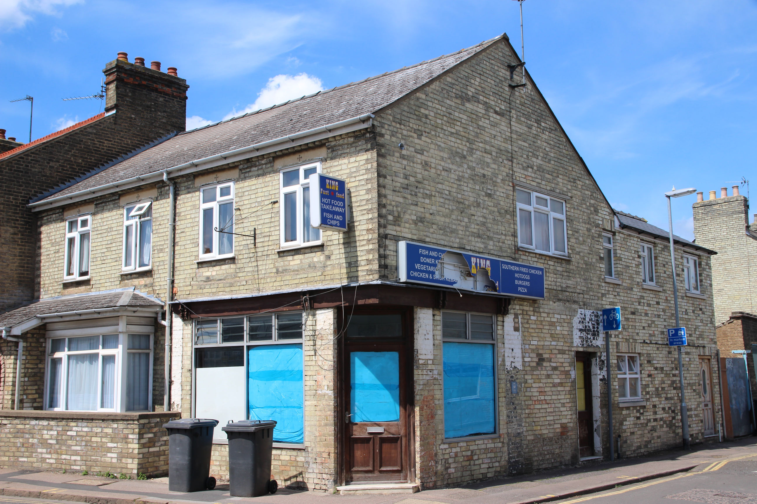
The fish-and-chip shop on the corner of Belgrave Road has been closed for several years, but shows no sign of re-opening as something else.
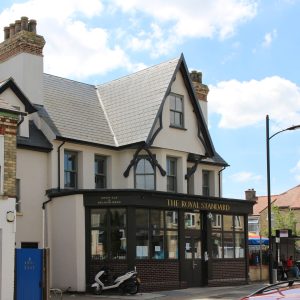
The Royal Standard now has a Greek cuisine kitchen and takeaway. It was extensively renovated a few years ago.

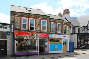
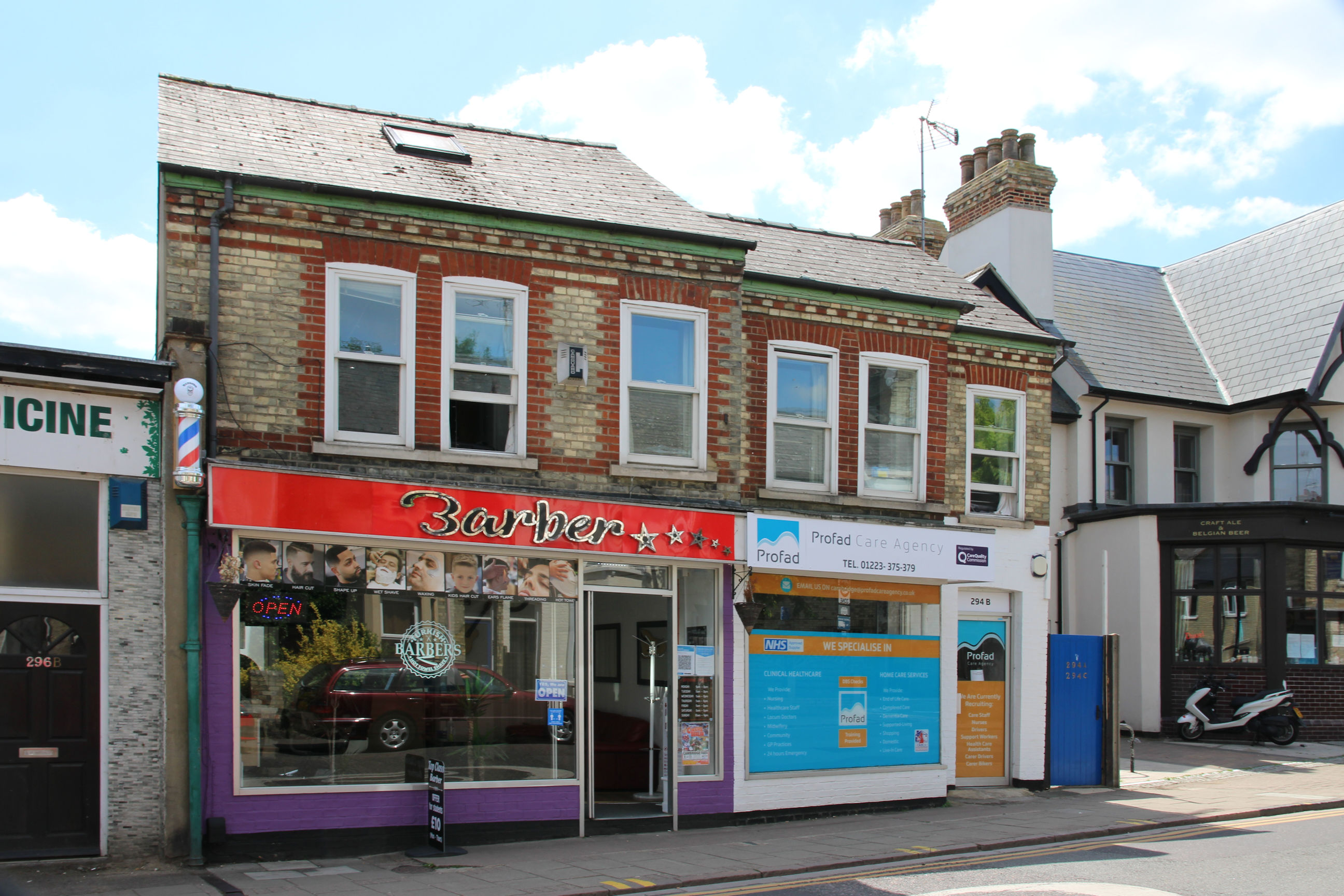
In the 2000s there used to be a barber here called Ted Bailey, then in his 70s, who’d lived in the area all his life and could remember the houses on Perne Road being built during his childhood! The decor in his shop looked like it dated from 1974, when he took it over from his former boss. Since he retired there have been several other businesses here, and now one of the units is a barber’s again.
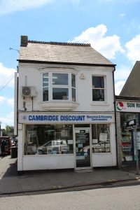
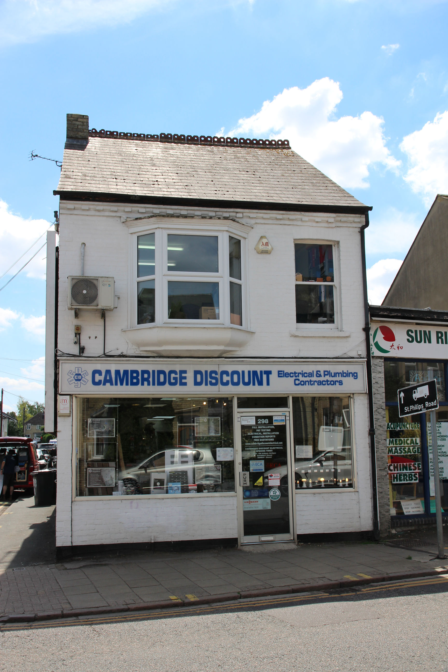
Cambridge Discount Plumbing used to be in the shop on the other side of Cyprus Road, with Cambridge Discount Electrical here. Now they’ve combined and the other shop became Co-Op Funeralcare when its previous premises were redeveloped. The window display promotes various types of decorative LED bulb. At the time of writing LEDs have pretty much replaced incandescent bulbs and the hated compact fluorescent lamps, and the government is looking to phase out halogen bulbs and fluorescent tubes.
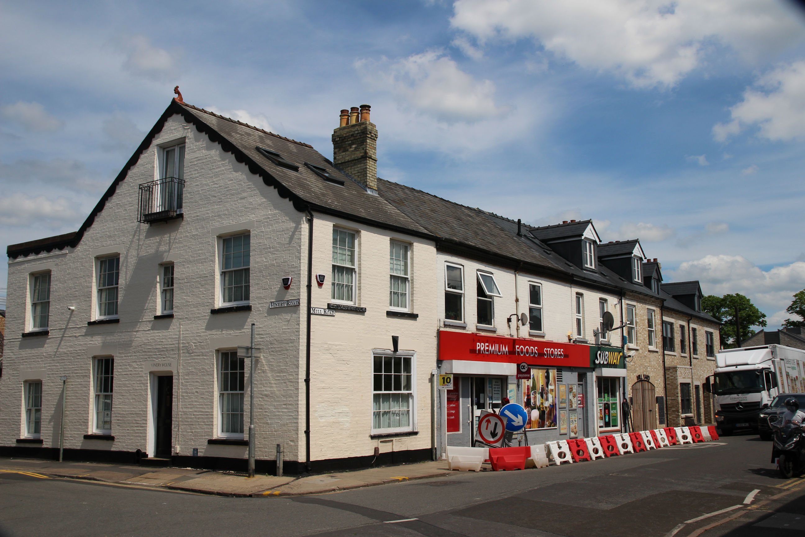
Here shops on the south side of Mill Road have given way to houses. This view looks towards Vinery Road (left) and Suez Road (right).

The Spar store has recently changed to a Premium Foods store. The Subway sandwich shop has been here for a few years now.
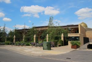
The Cambridge Central Mosque was built on the site of the former Robert Sayle’s warehouse and opened in 2019. To the right it has an entrance to an underground car park. This site had earlier been the location of Romsey Town Lime and Cement Works.

The student flats here are named The Cam Foundry after a business that operated on the site many years ago.
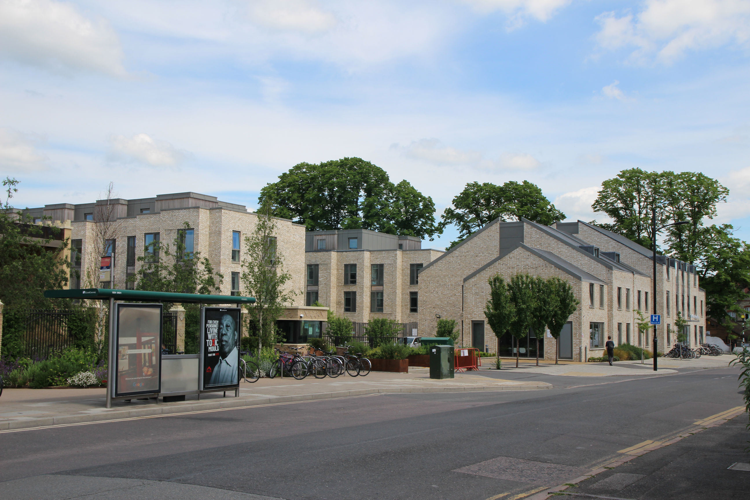
Brookfields Hospital – Not to be confused with Addenbrooke’s! There’s a road sign outside saying “No A & E”.

Brookfields
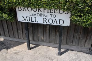
The final section of what most people think of as “Mill Road”, east of Montreal Road, is actually Brookfields, and the house numbers start again at 1.
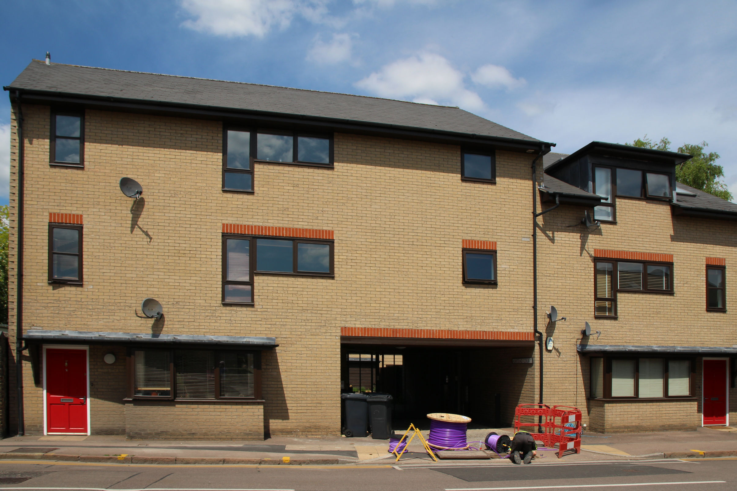
Work on the CityFibre “Purple” network is underway here. The pavement excavations were done some time ago, so presumably they’re now connecting somewhere to it.
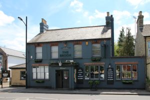
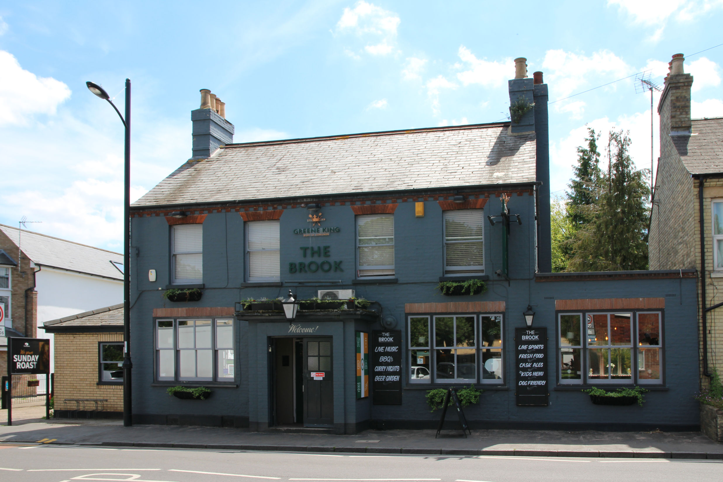
The Brook advertises itself as a place to watch Sky and BT Sports and live music, and enjoy traditional pub snacks and cask ales.
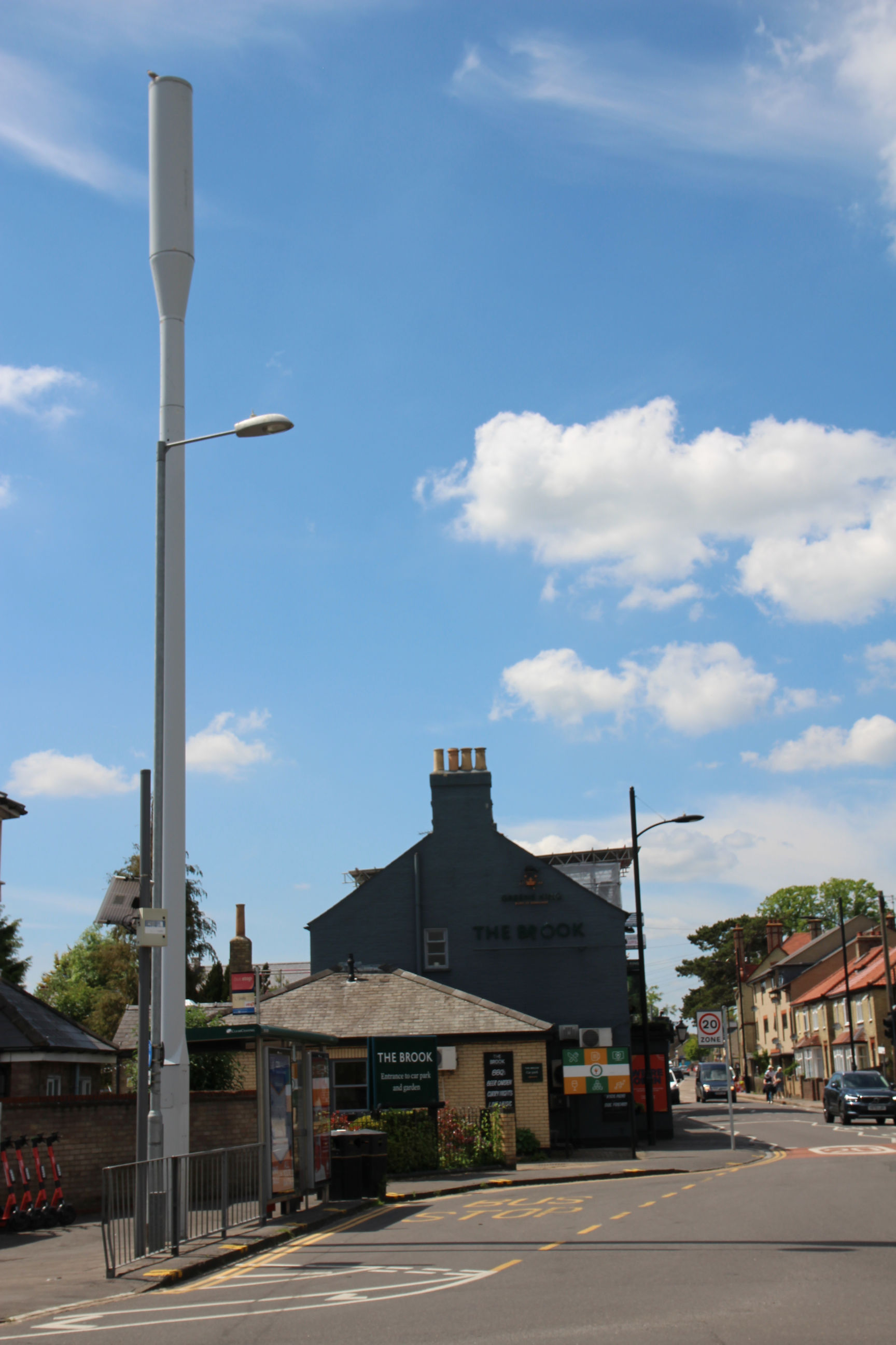
Adjacent to The Brook is a tall mobile antenna. There are others by Coleridge Rec. and outside the Dumpling Tree. Why do there need to be so many in close proximity? Is it so that if the Chinese government shuts down Huawei’s 5G network they can put people on top of them, relaying text messages from one to the next using semaphore flags?
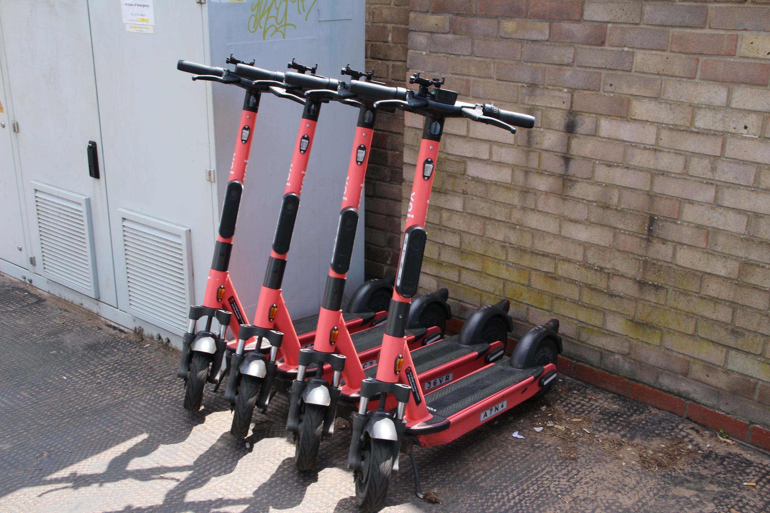
More e-scooters for hire here.
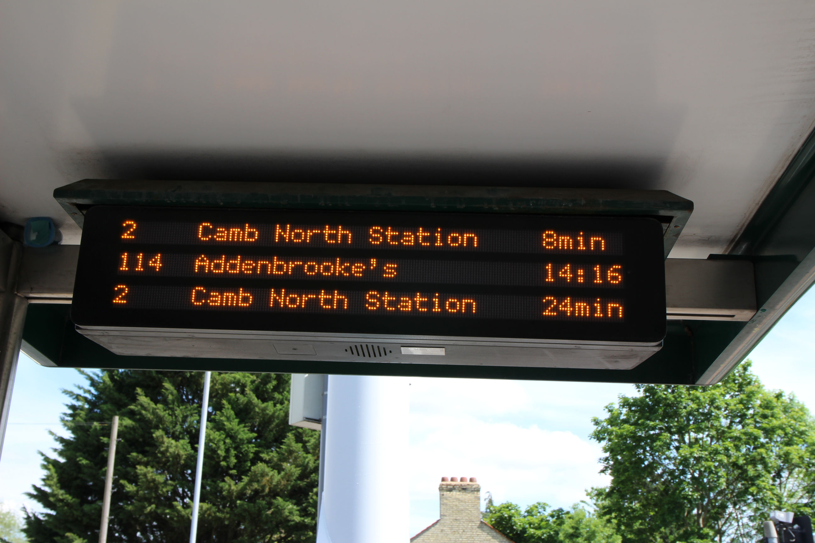
During lockdown Stagecoach have reduced the Citi 2 bus service from every 10 minutes to every 15 minutes. When Cambridge North Station opened, the route changed for most of the buses to go there rather than to Milton.
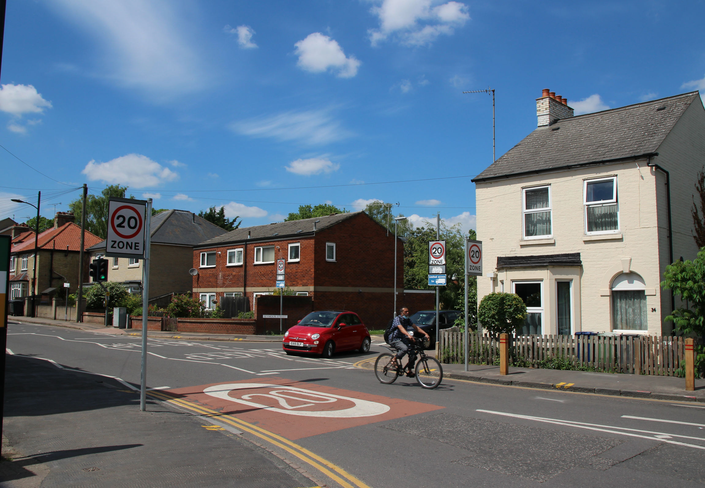
The part of Brookfields leading west from Perne Road features an eclectic mix of houses – from left to right: 1930s, 21st Century, c.1970s, Victorian.
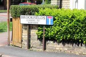
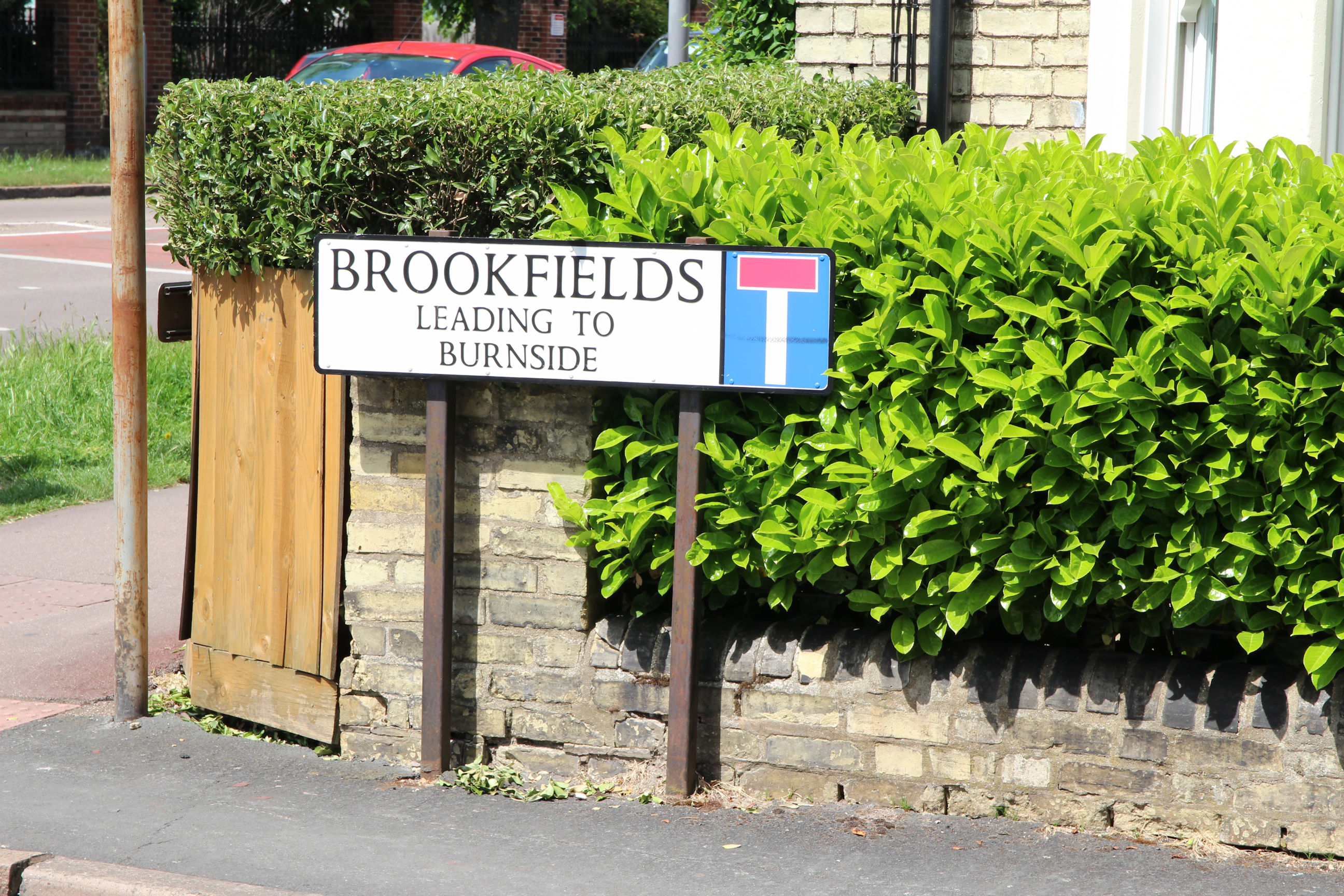
The sign tells you it’s not actually Mill Road here.

Brookfields continues down to Burnside on the east of Perne Road. When Perne Road was constructed in the 1930s, it cut a huge swathe through Brookfields and Natal Road, and several properties would have been demolished – you can see on Google Maps that several house numbers are missing.
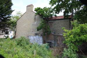
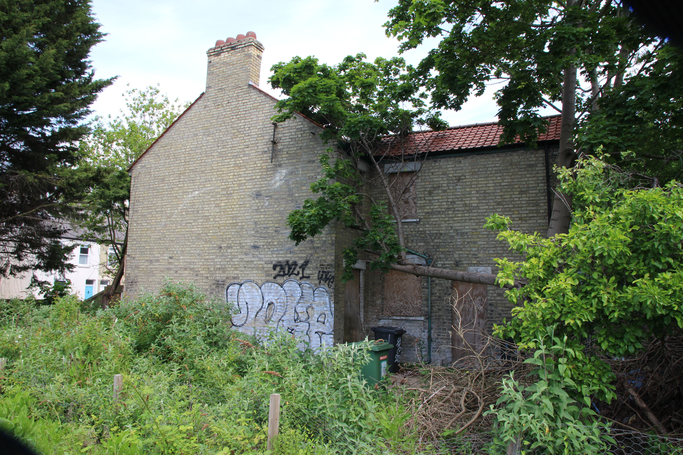
This house on the corner of Brookfields and Perne Road has been empty for ages. Ideally the council would compulsory-purchase it and either renovate or replace it, but if it’s unregistered and no owner can be traced gaining title could take many years.
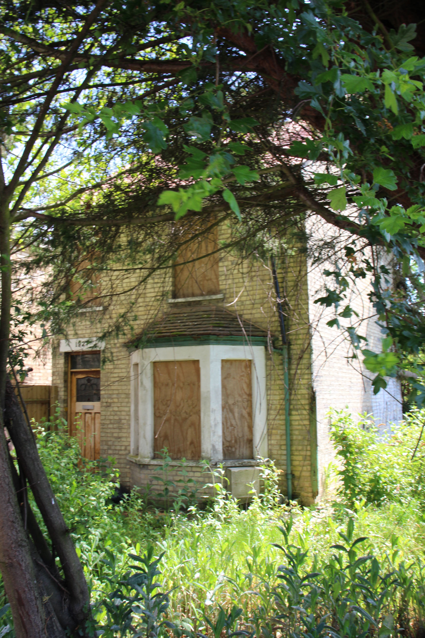
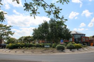
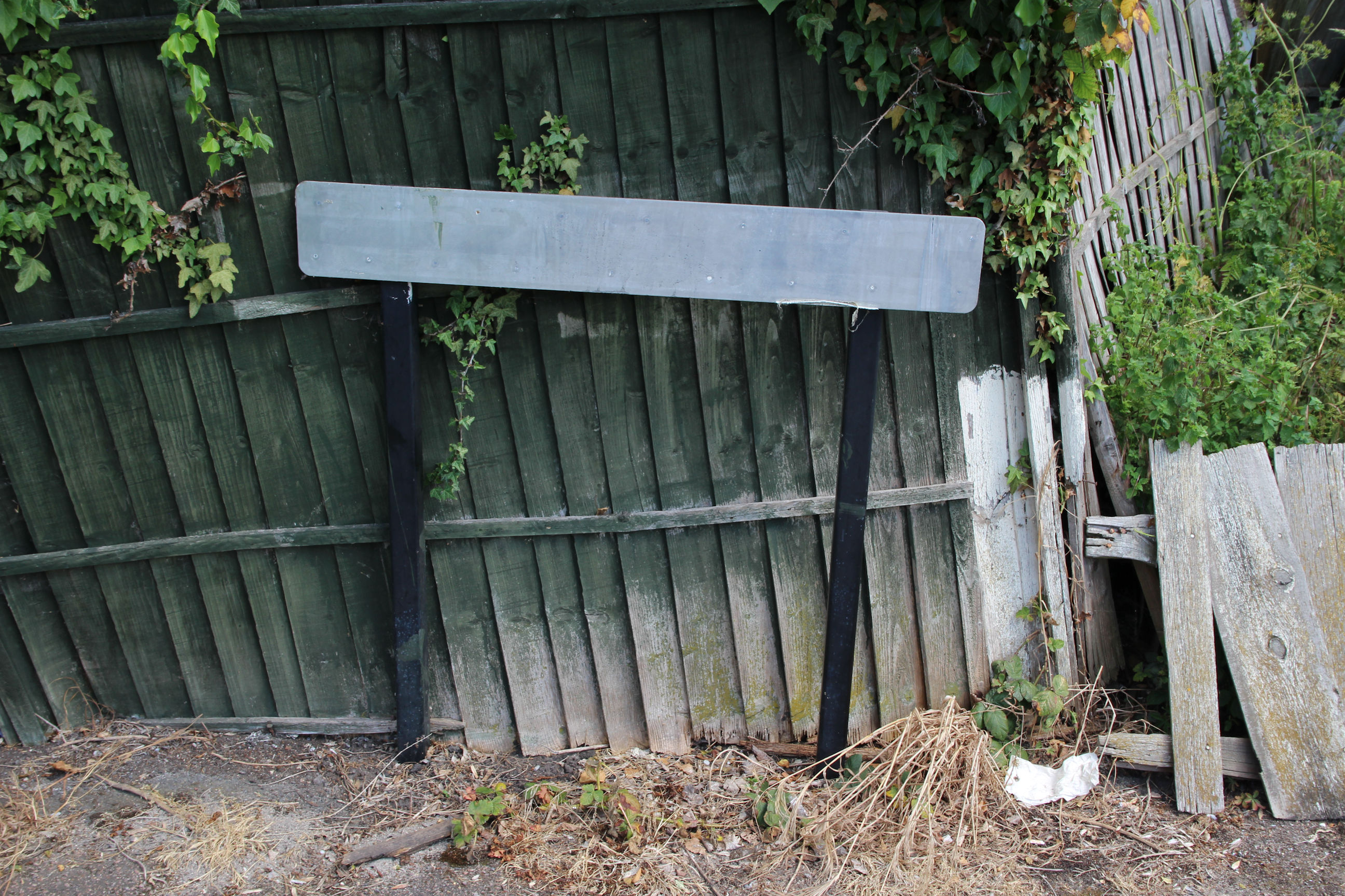
The land alongside the derelict house used to contain all sorts of flytipped junk, but that was cleared a few years ago and the fence repaired. Since then nature has started to reclaim it. I suppose if Barnwell Road can have an East Nature Reserve, Perne Road can have one too.
Perne Road
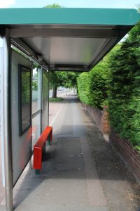
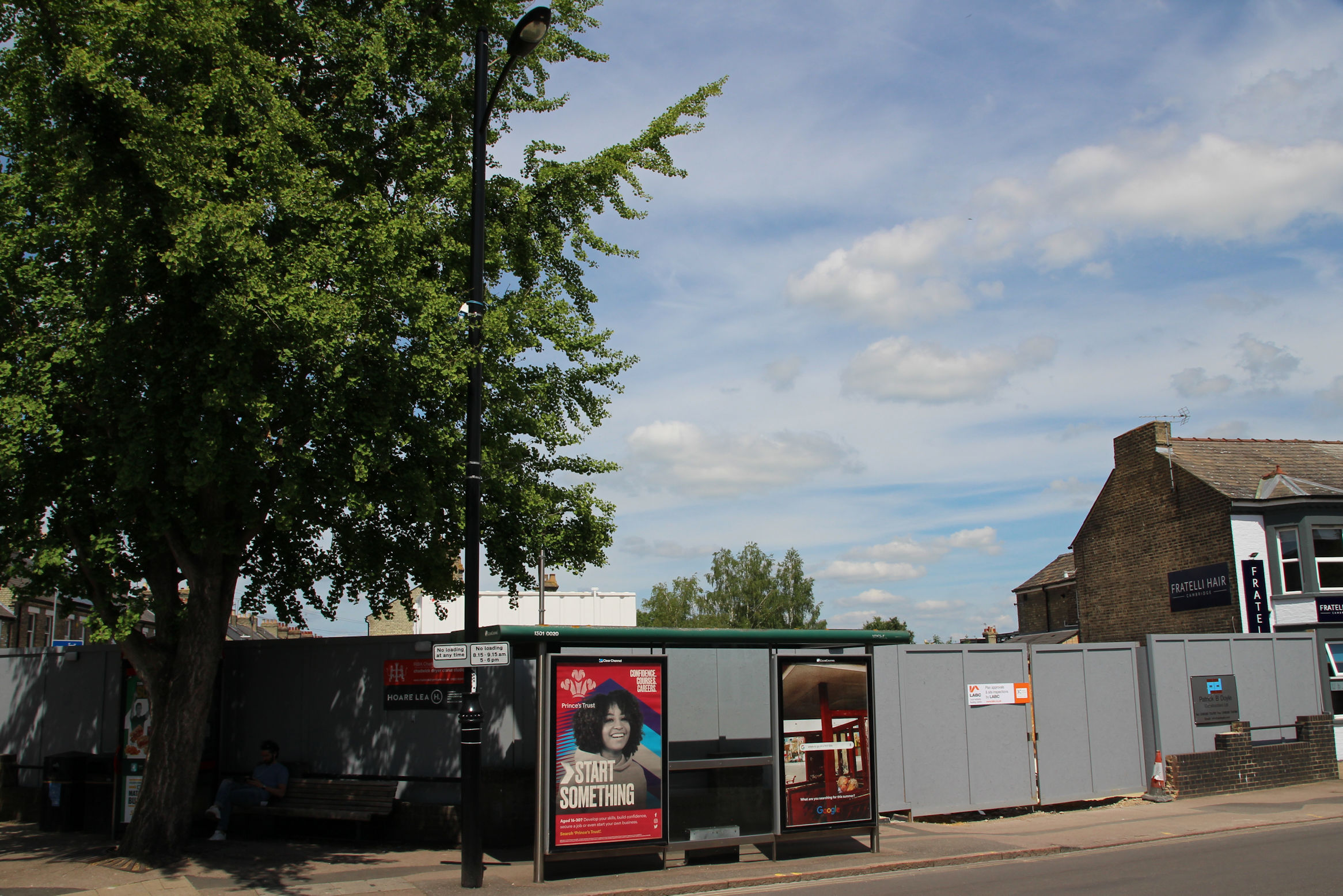
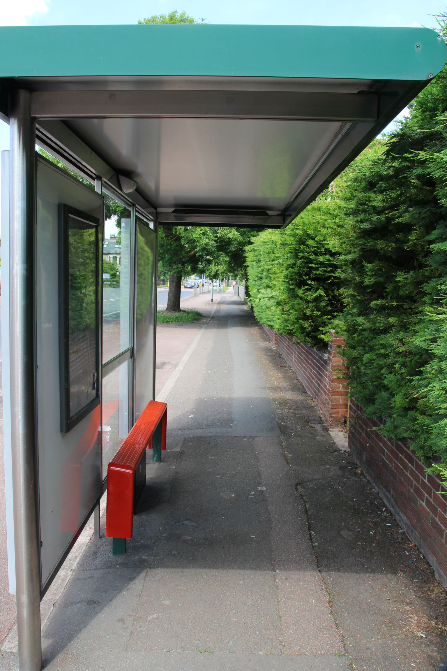
The bus stop on Perne Road has recently gained a bracket on its roof for mounting a departures display like the one outside the Brook, that has not been fitted yet.
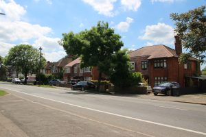
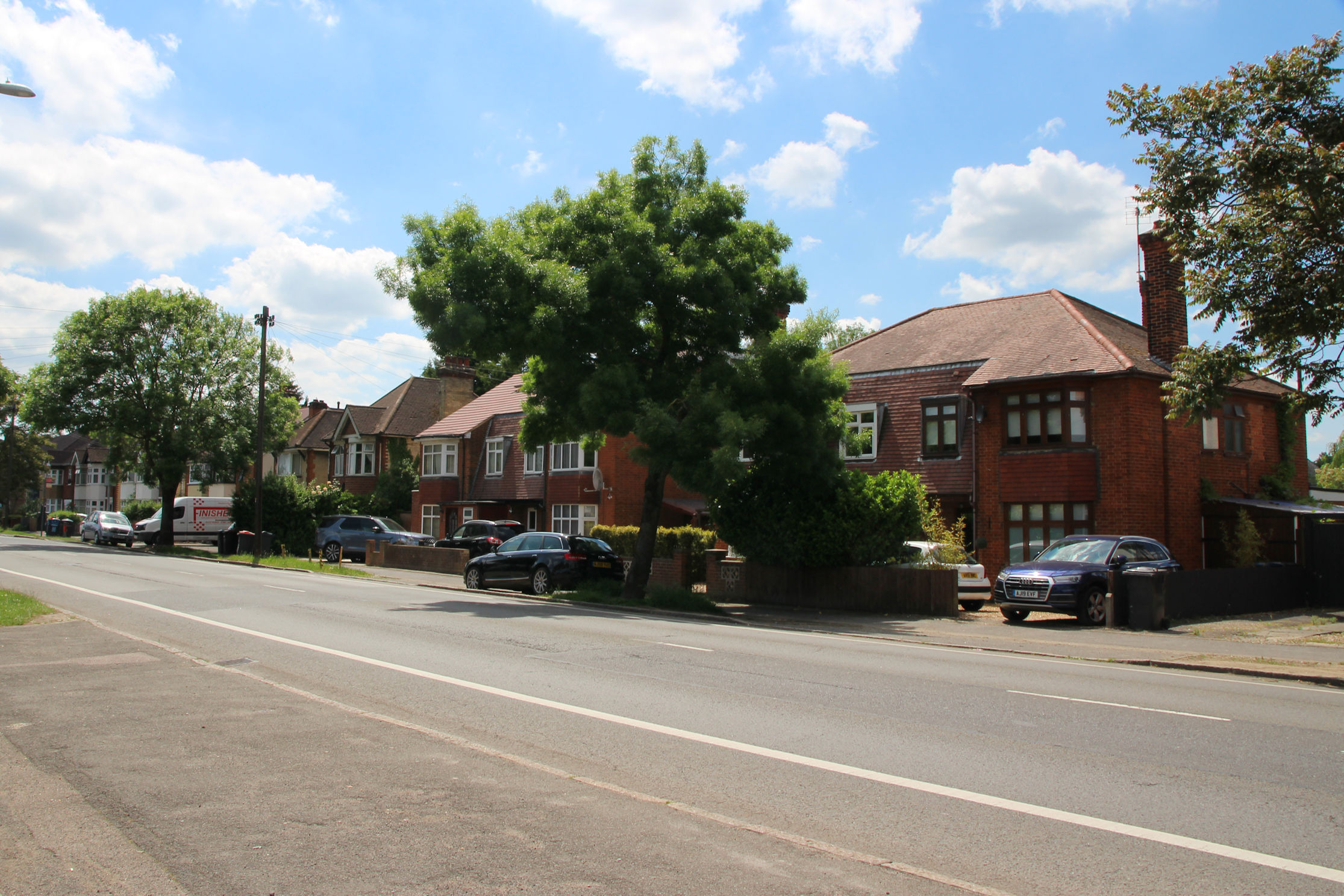
Getting a photo like this in the daytime requires patience – there’s traffic along here all the time. It only really became quiet during the first lockdown.
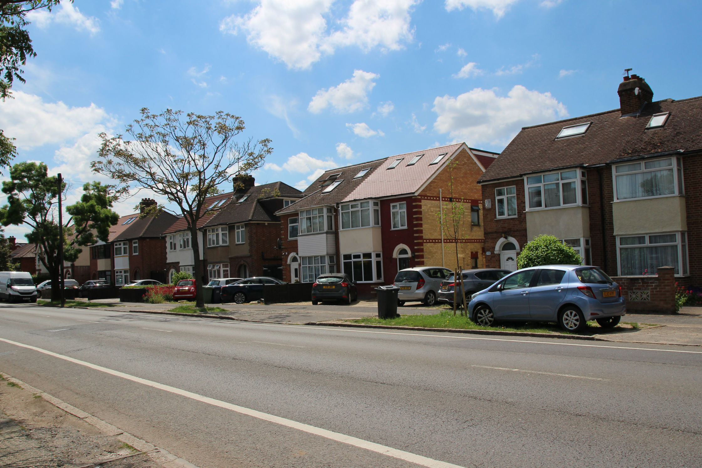
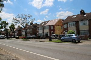
I’m getting close to Home now. Most of Perne Road contains typical 1930s semis, as in the previous photo, but here there are a few larger ones with the entrances in the middle.
Someone’s taken the Perne Road sign! I never realised we were so iconic that anyone would want one as a memento. Or has someone now decided that, like Tobias Rustat, Perne had “incorrect opinions” and needs to be “cancelled”?
Now I’m back Home. Taking all these photos on the way, I’ve taken almost 2 hours to get here. Normally I’d consider Reality Checkpoint half an hour’s walk from home, and coincidentally half an hour’s walk from Churchill College too.