What makes Coleridge “a thing”? That’s a good question. No doubt others are better qualified to answer it than I am, but here are a few suggestions.
An Electoral Ward
See the Cambridge City Council map of electoral wards. In case that has disappeared by the time you read this, it shows the boundary as:
- West (with Petersfield) – the main railway line.
- North (with Romsey) – roughly along the former railway route to Cherry Hinton Brook via Greville Road, Marmora Road and Budleigh Close (with William Smith Close and Greville Road in Romsey), then along the Tins path to the railway.
- East (with Cherry Hinton) – around the West and East Chalk Pit lakes, and west of Walpole Road.
- South (with Queen Edith’s) – south of Cherry Hinton Road, including St Margaret’s Square and Missleton Court.
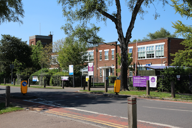
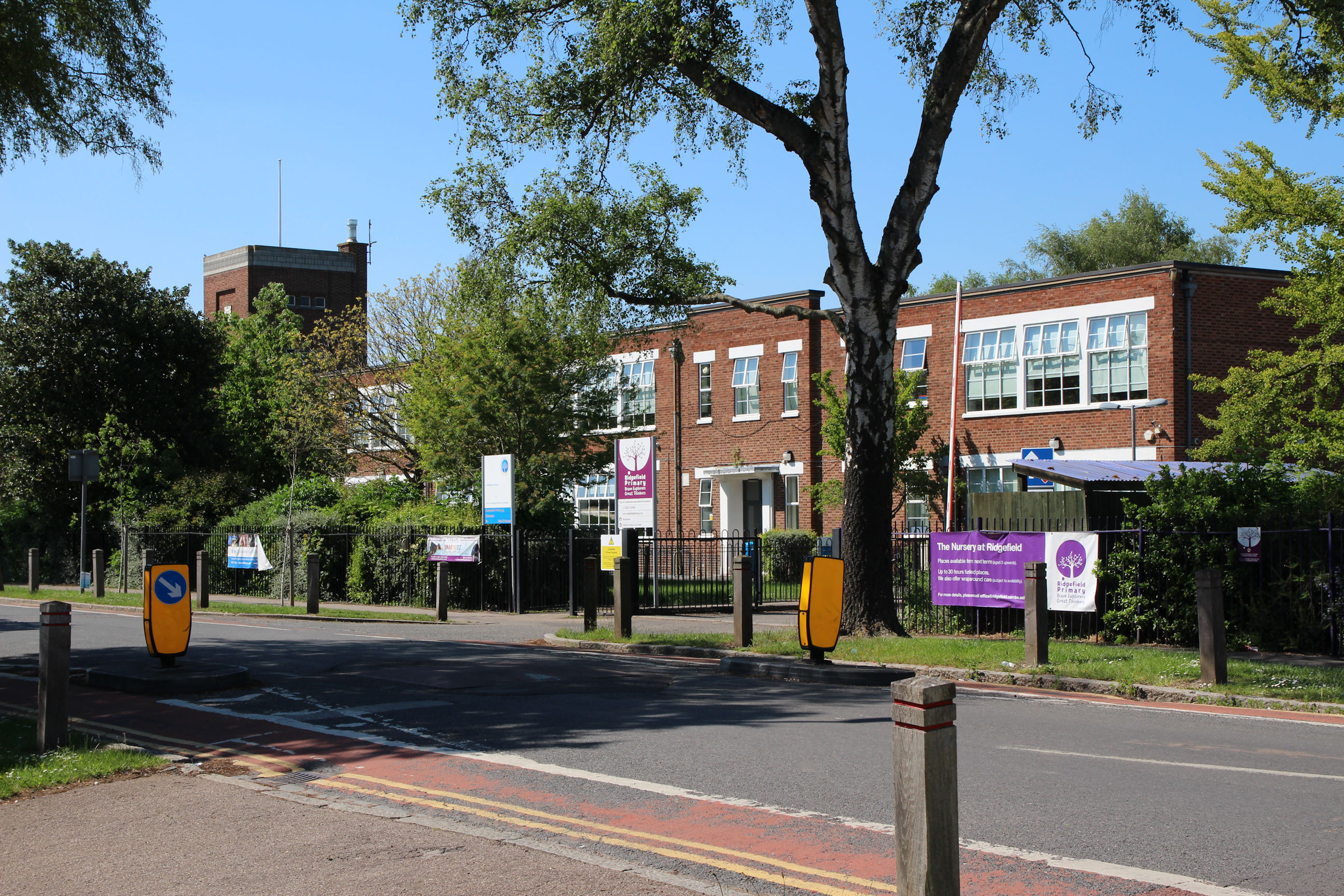
A Housing Development
Coleridge can be thought of as a single area of green-field development that was started in the 1920s and largely complete by the 1970s, based around its eponymous Recreation Ground and School which were both created early on. It has always contained mixed private and council housing, now even more intermingled after 40 years of Right to Buy.
This definition results in some differences from the Electoral Ward. It includes Greville Road and Walpole Road in Coleridge. Conversely the Victorian houses in the north end of Coleridge Road (originally called Romsey Avenue) are an outpost of Romsey, and some Victorian and Edwardian properties around Cherry Hinton Road might be seen as part of Queen Edith’s.
A feature of the development is that many roads are named after notable alumni and fellows of Jesus and Peterhouse Colleges, which previously owned the land.
With the current vogue for “retro-activism” many may be found to have held “incorrect opinions” about slavery, Empire, gender or the environment, as has happened with Tobias Rustat. Ten years from now I may be living in Biden Road, between Thumberg Community College in Decarbonisation Drive and St Meghan’s Inter-Truth Academy along Oprah Winfrey Road … if I haven’t moved.
A Distinct Community
The City Council carried out a survey of Coleridge residents in 2019. Coleridge has been characterised by residents as friendly, relaxed and peaceful.
At the time of writing there are no similar surveys on the City Council website for the neighbouring wards that would allow their self-perceptions to be compared. But I think it’s fair to say Romsey has a different demographic, with more students and young adults, and is frequently characterised using words like vibrant, cosmopolitan and bohemian. And Cherry Hinton proudly regards itself as a separate village rather than a suburb of the city.
A Gateway to the South
Broad-bosomed, bold, becalmed, benign
Based on a Peter Sellers sketch about Balham, south London.
Lies Coleridge, foursquare by the railway line
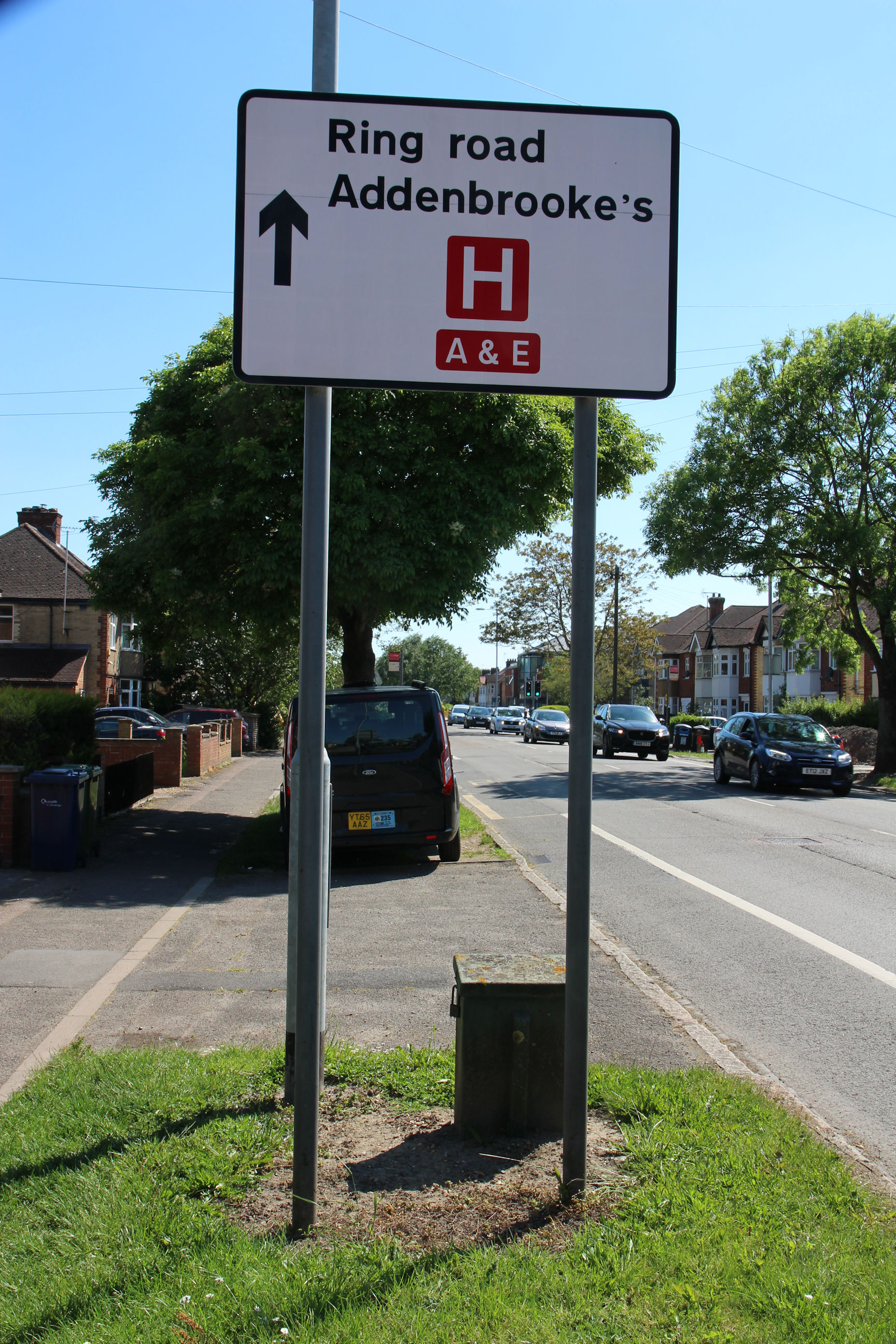
Around 2010 a plan was mooted to widen the roads between Addenbrooke’s and a huge new housing development on the airport site to add dedicated bus lanes, removing all the trees and verges. The airport is now expected to close around 2030, and will no doubt be built upon, but hopefully the four-lane superhighway idea won’t resurface.
Already for many, Coleridge is a stretch of the A1134 ring road they have to cross to get from the city centre or north of it to Addenbrooke’s and the south. If that’s you, read on…
Coleridge is well equipped with facilities to enable you to stop and admire the scenery on your way through, including Pelican crossings, roundabouts and bus stops. As well as residents, refuse collectors, delivery vans and building contractors are here to help ensure your journey proceeds at a relaxing, leisurely pace.
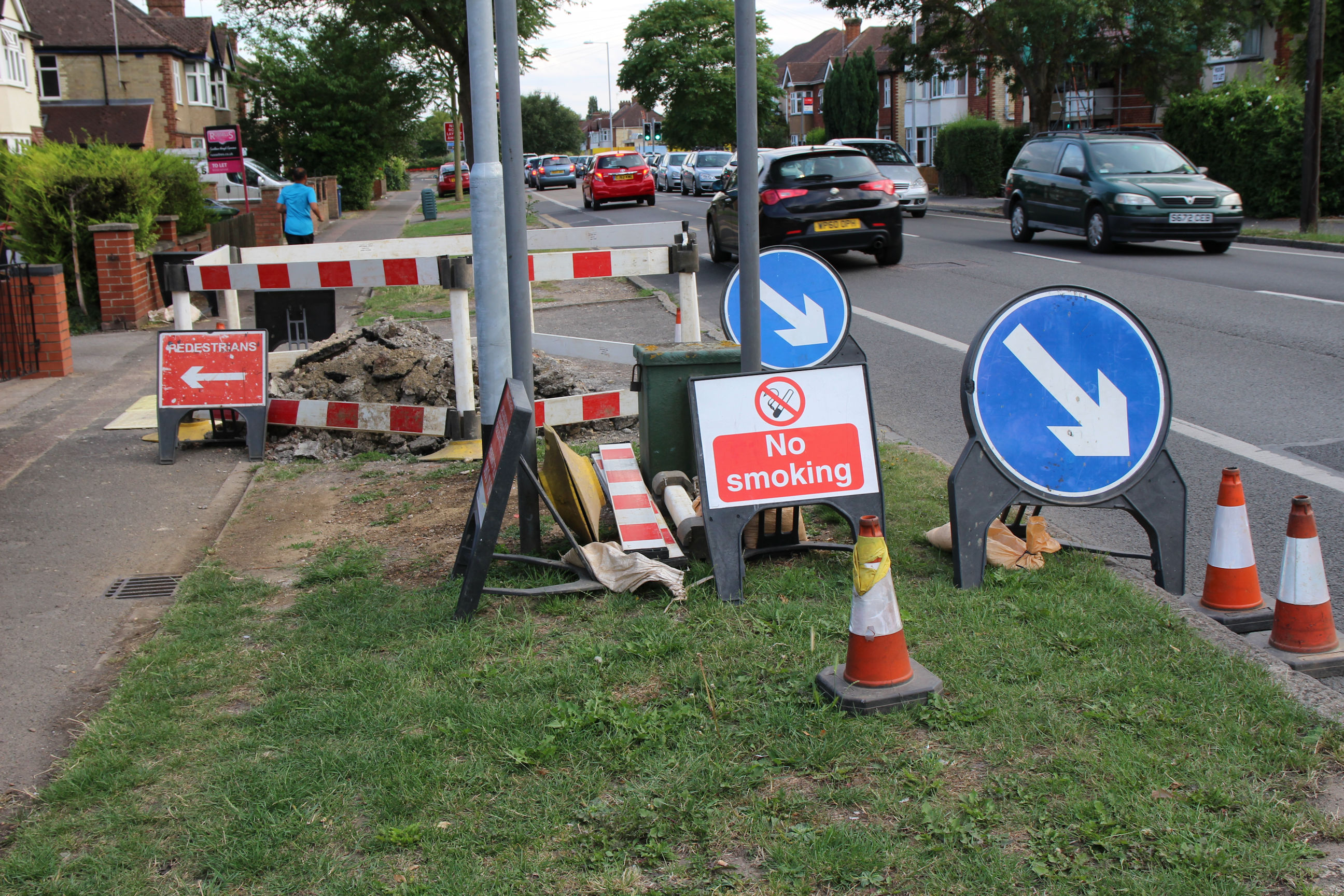
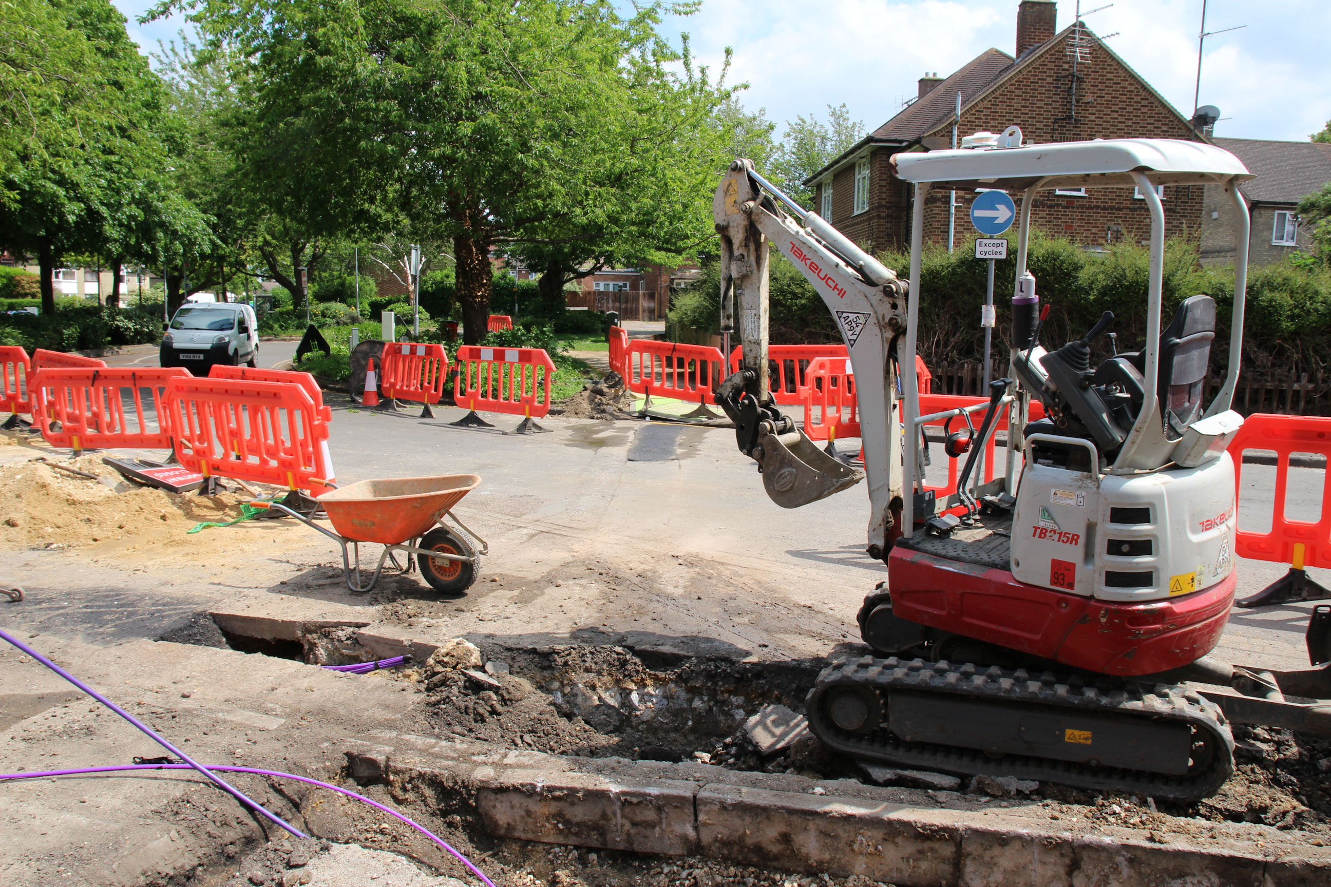
We’re especially proud of our occasional Neighbourhood Open Days. These are sponsored by local utility companies, who lay on extra traffic lights, signs, cones and barriers so you can spend time really getting to know the area at a deeper level. That mainly consists of rubble and bundles of coloured plastic utility ducts.
If you’re enjoying your time in Coleridge, don’t forget to show residents your appreciation by winding down your windows and drowning out the tedious din of birdsong with some cheery hardcore drill music, or donating any unwanted leftovers of your Big Mac Meal to nourish our cherished population of feral pigeons.
Thanks for visiting!