
Photographed on 31st December 2021 and 1st January 2022.
Introduction
The Chisholm Trail was first proposed by Jim Chisholm in an article published by CamCycle in 1998. Phase 1 was due to be completed two years ago, but after some campaigning an informal opening by the end of 2021 was agreed, and this target has basically been achieved, although there are some unfinished works along the route.
Phase 1 provides a walking and cycle route from Cromwell Road and Hooper Street to Cambridge North railway station. Major features are a new underpass under Newmarket Road and a foot/cycle bridge adjacent to the railway bridge over the River Cam.
Phase 2 will link Phase 1 with Cambridge Station on both sides the of the railway track. This is being planned and the Chisholm trail page on the Greater Cambridge Partnership website suggests it may be completed piecemeal rather than all at once. I understand that the GCP and Council may still be trying to agree some of the details with Network Rail, and as of early 2025 work on it had still not started.
This walk is a follow-up to the Chisholm Trail Phase 1 Construction walk I did in June 2021, while construction of the trail was underway.


Route
There is a schematic map of the trail on the Greater Cambridge Partnership website.
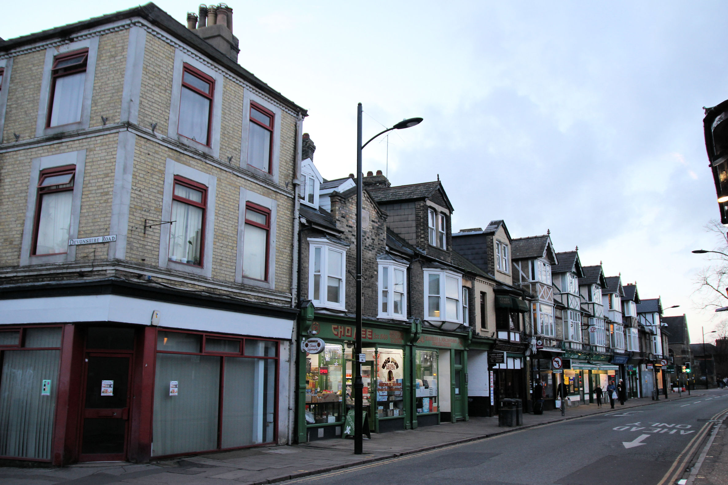
This walking route starts and ends at Mill Road Bridge. It proceeds from there to Cromwell Road via Sedgwick Street, then follows the trail to Cambridge North Station, and back as far as Newmarket Road Bridge.
From there it diverts from the trail route via Riverside and Newmarket Road to the Beehive Centre, rather than returning across Coldham’s Common and crossing to the Beehive Centre via Coldham’s Lane Bridge (the orange line on the map). The final part returns to Mill Road along Kingston Street.
This is the first map I’ve created automatically using a GPS tracker app; those of my earlier walks were all made by plotting the route. The GPS on my new phone is accurate enough to clearly show where I went, whereas on my old phone the app recorded a very jagged and inaccurate line.
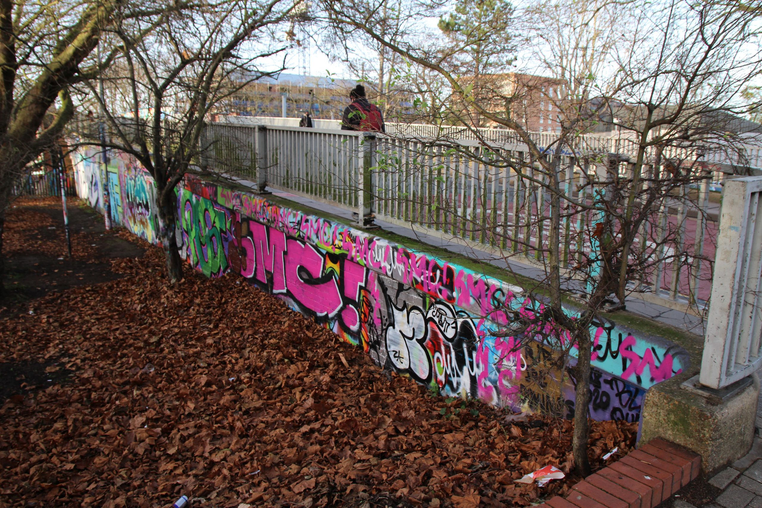
Mill Road Bridge
The south side of the bridge on the Romsey side of the railway currently looks a mess. There was a smell of fresh aerosol paint in the air on the day I photographed this. In the past there have been more artistic murals here, including a tribute to Stephen Hawking and an ‘I can’t breathe’ mural dedicated to victims of racism.
This has long been a spot where graffiti art has been tolerated. There is more unwelcome graffiti elsewhere on the trail, some of which I’ve reported on the council website.

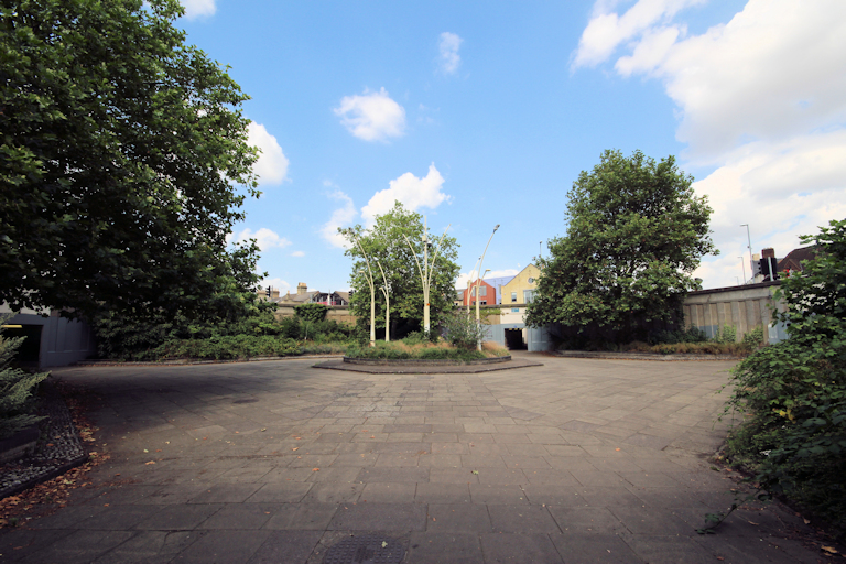
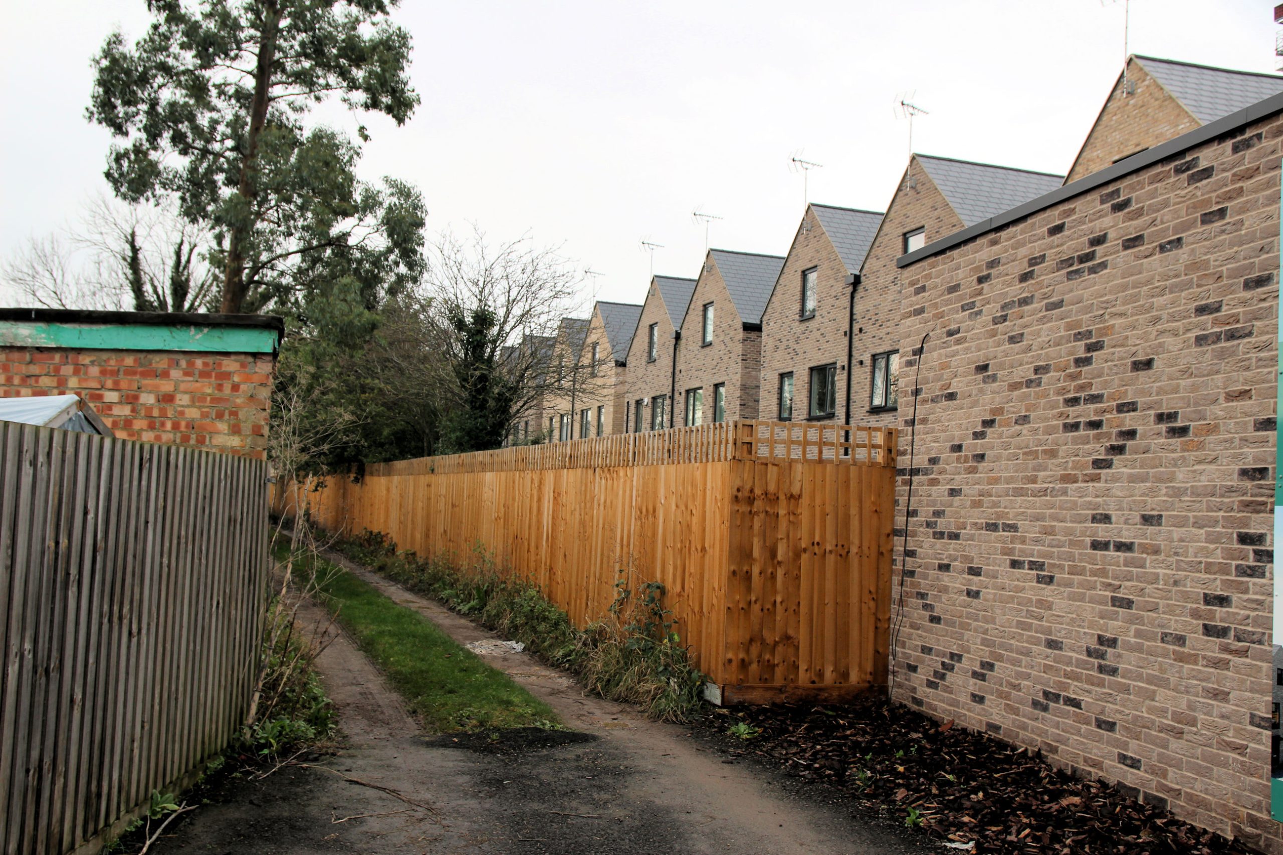
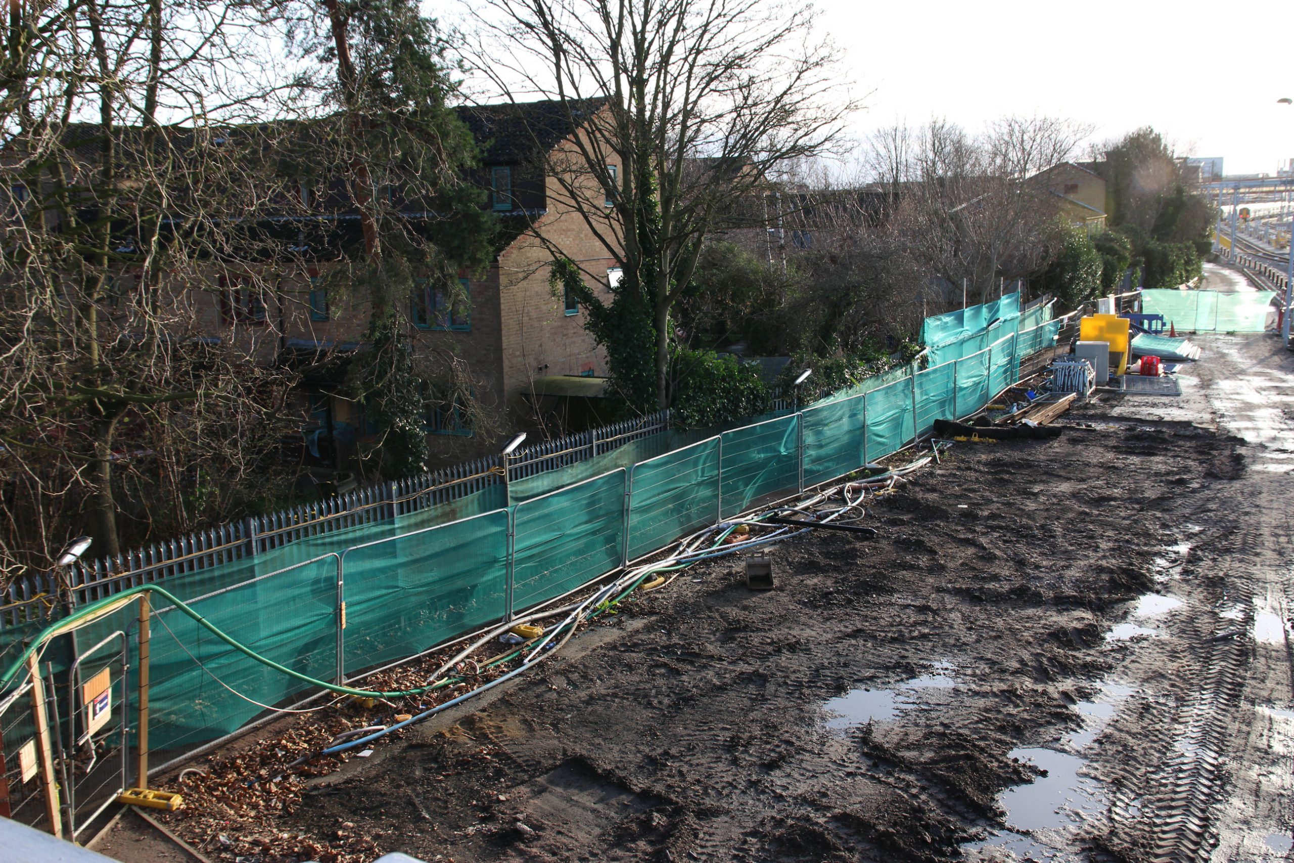
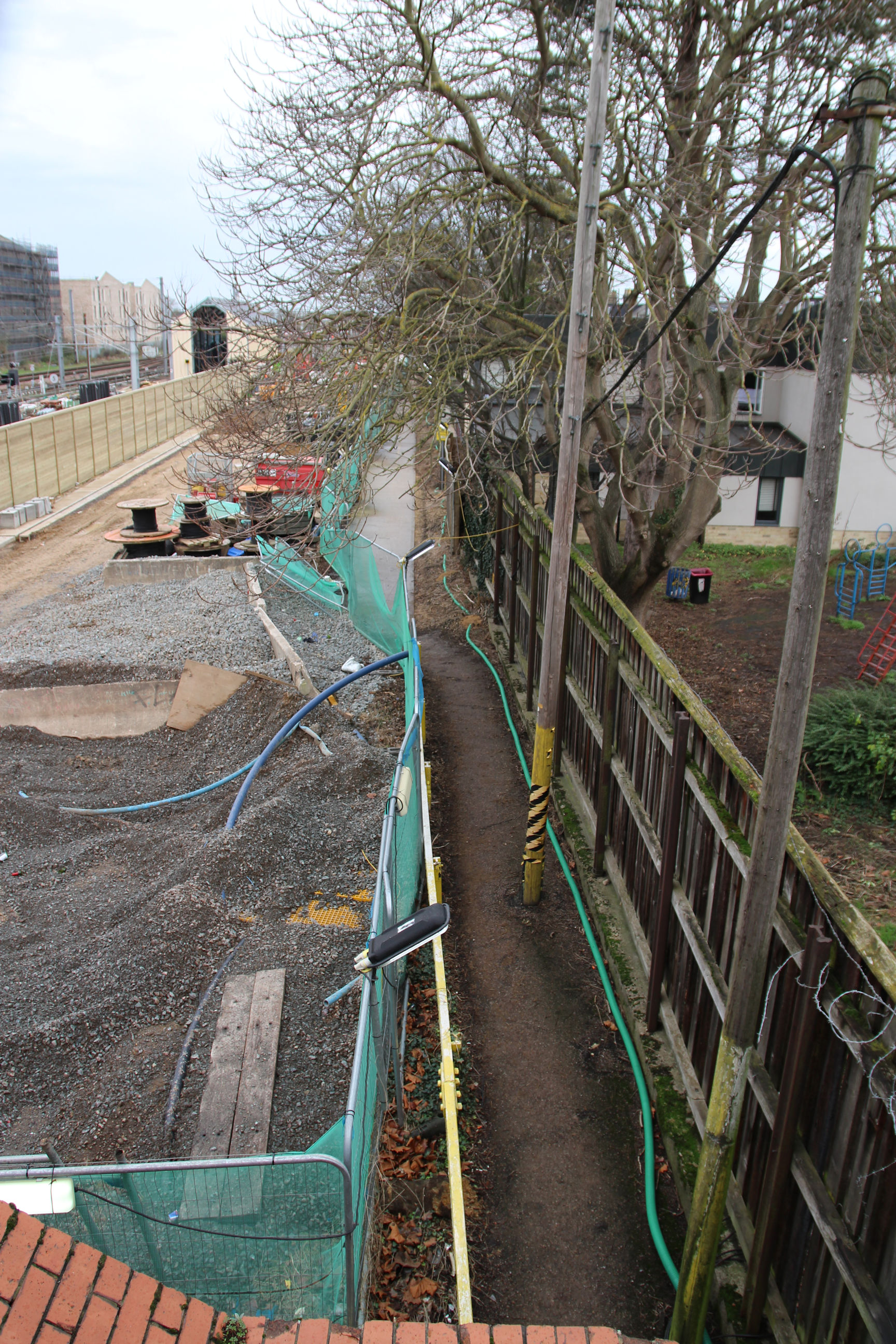
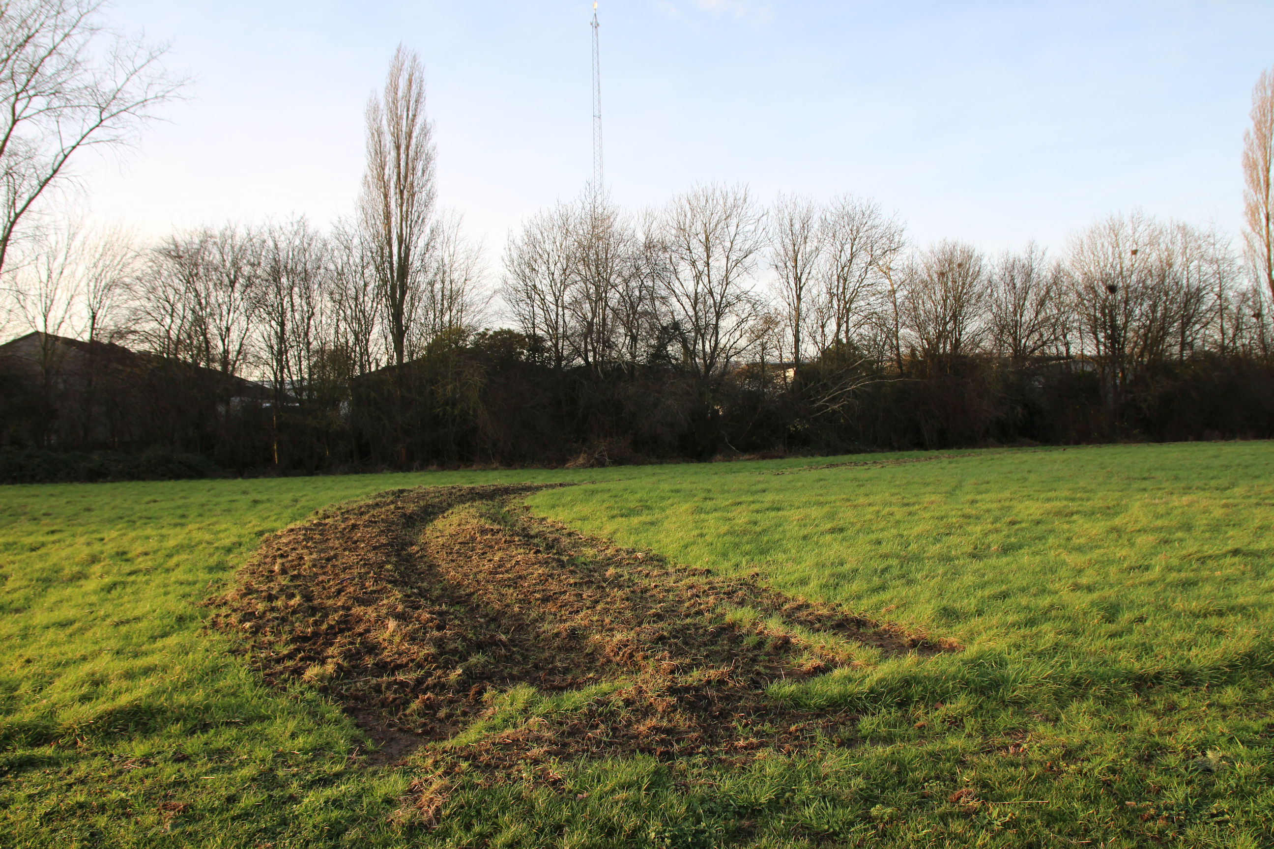
Looking south from the bridge on the Romsey side, the railway Portakabins have been removed leaving bare earth. Land for the Phase 2 Chisholm Trail path has been set aside behind the green sheeting, at least as far as Fletcher’s Terrace. The trail plan suggests there will be exits from the path to Fletcher’s Terrace, Rustat Avenue and Clifton Road near the Carter Bridge.

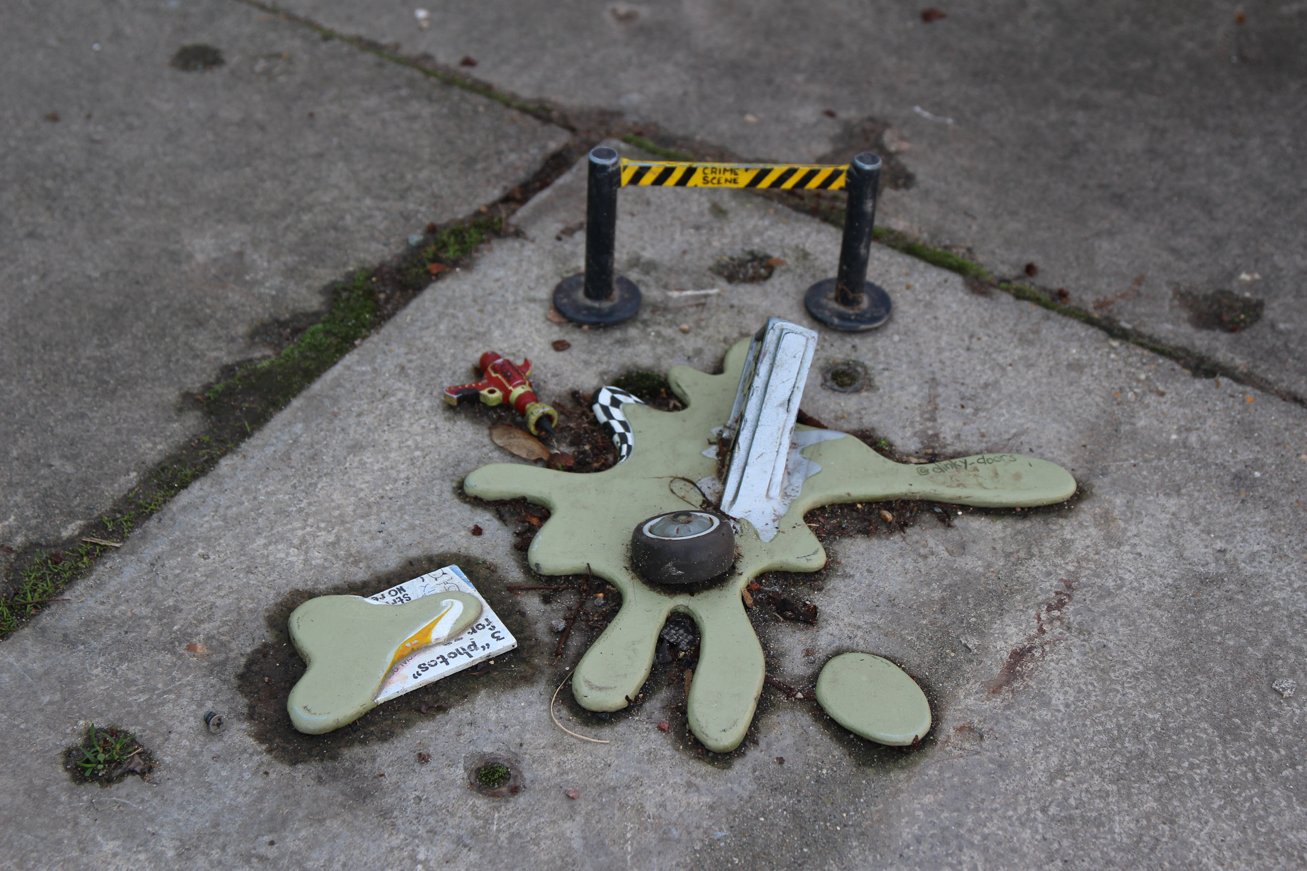
No arrests have yet been made in connection with the disappearance of the FotoDinkyMat.
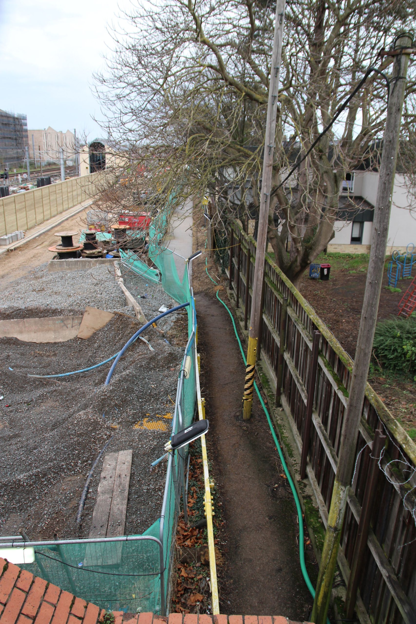
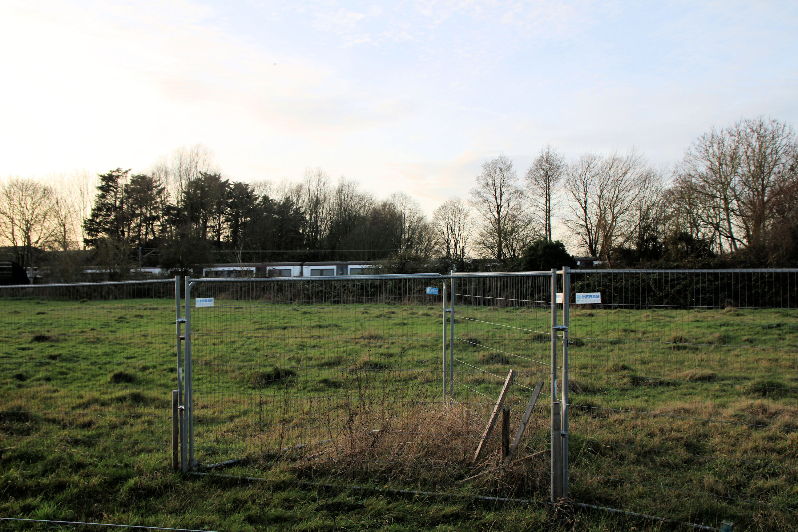
Looking south from the bridge on the city (Petersfield) side, as yet there has been no attempt to create a public footpath separated from the railway track.

Looking north from the Petersfield side of the bridge there is some cleared ground, but no clear view of a path around the Ironworks site. The path should eventually lead from here to Hooper Street.

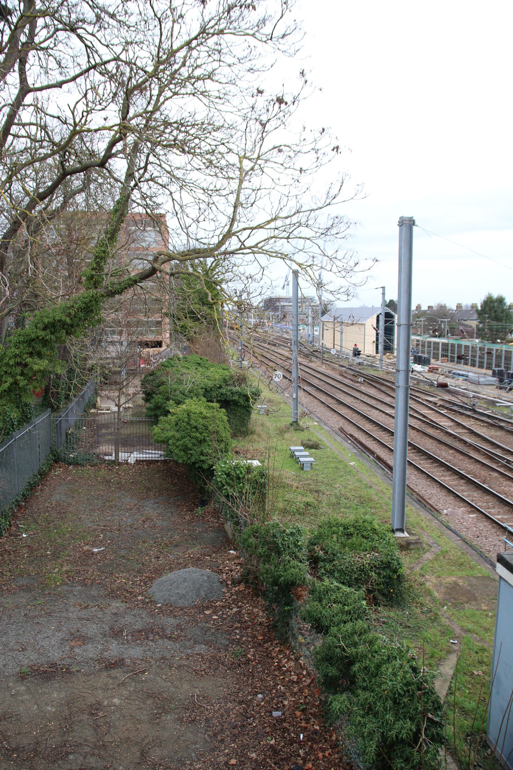
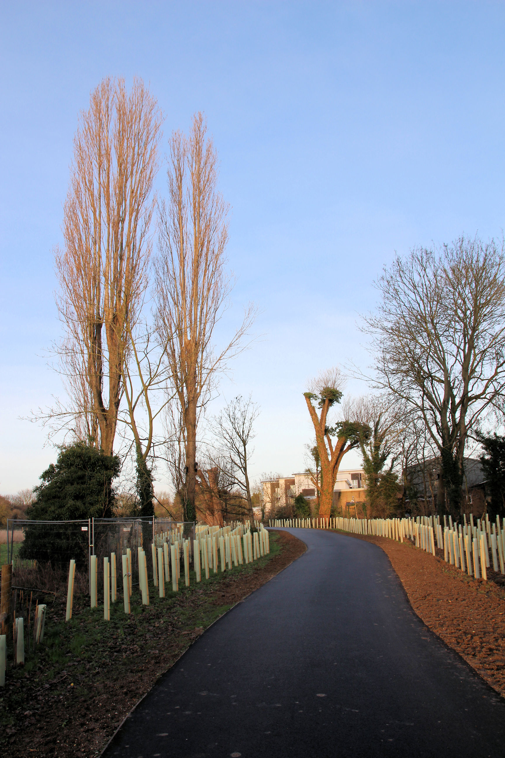
On the Romsey side looking north, train maintenance facilities are being constructed on the land that had been cleared in June. The Phase 2 Chisholm Trail path is again set aside behind the barriers and green sheeting on the right, as far as the Timber Works site in the distance.
This view shows the Chisholm Trail path more clearly.
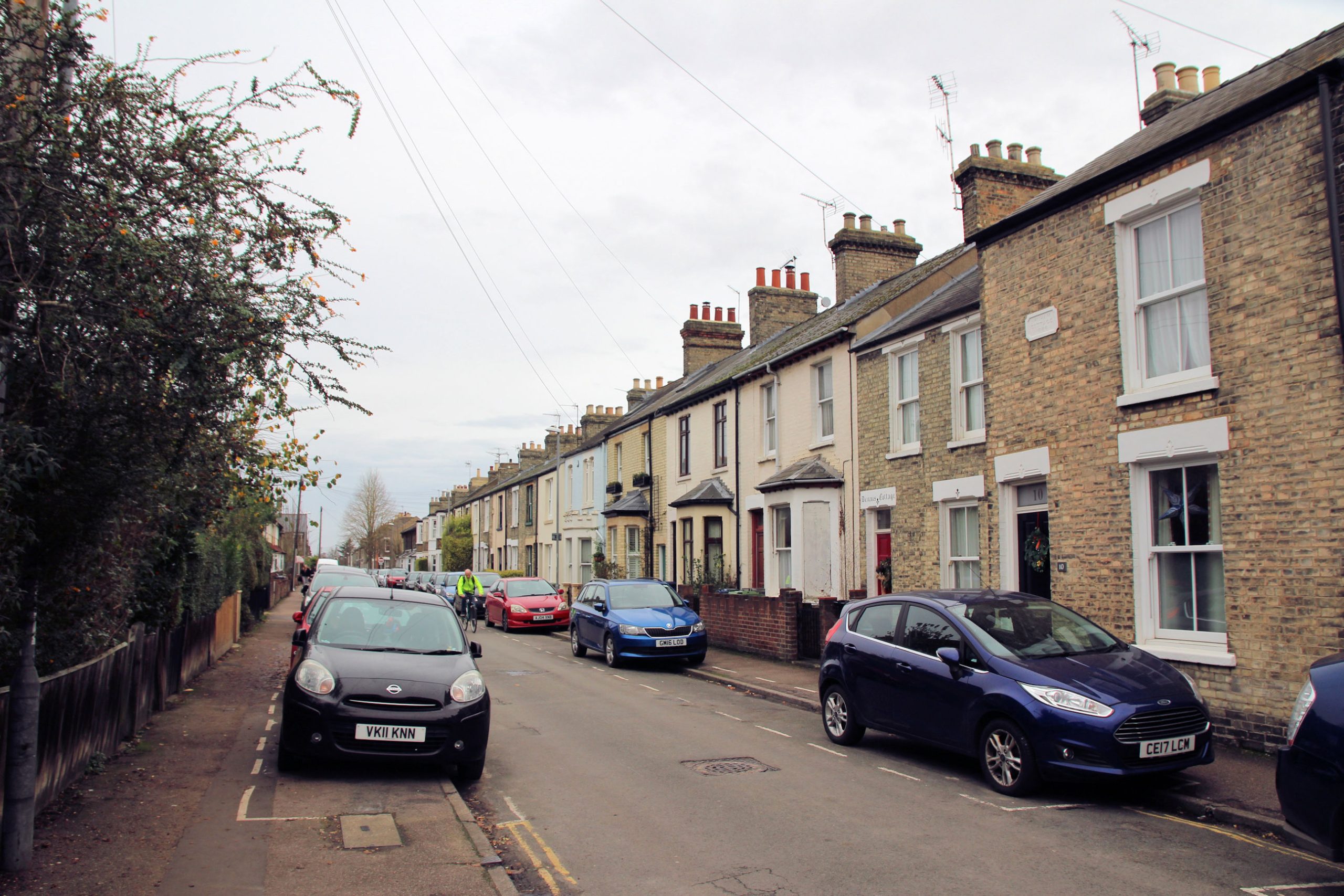
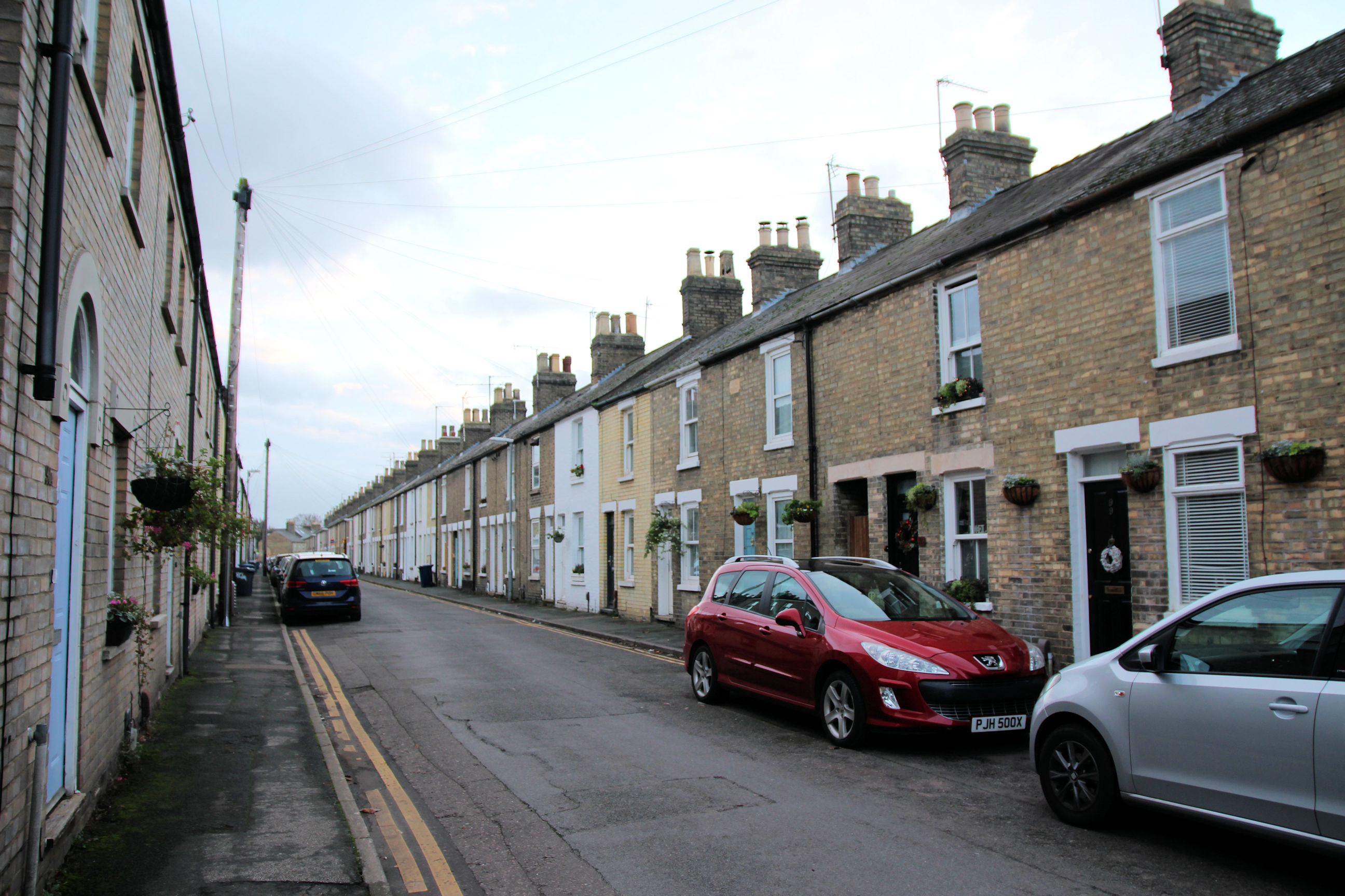
Mill Road to Cromwell Road
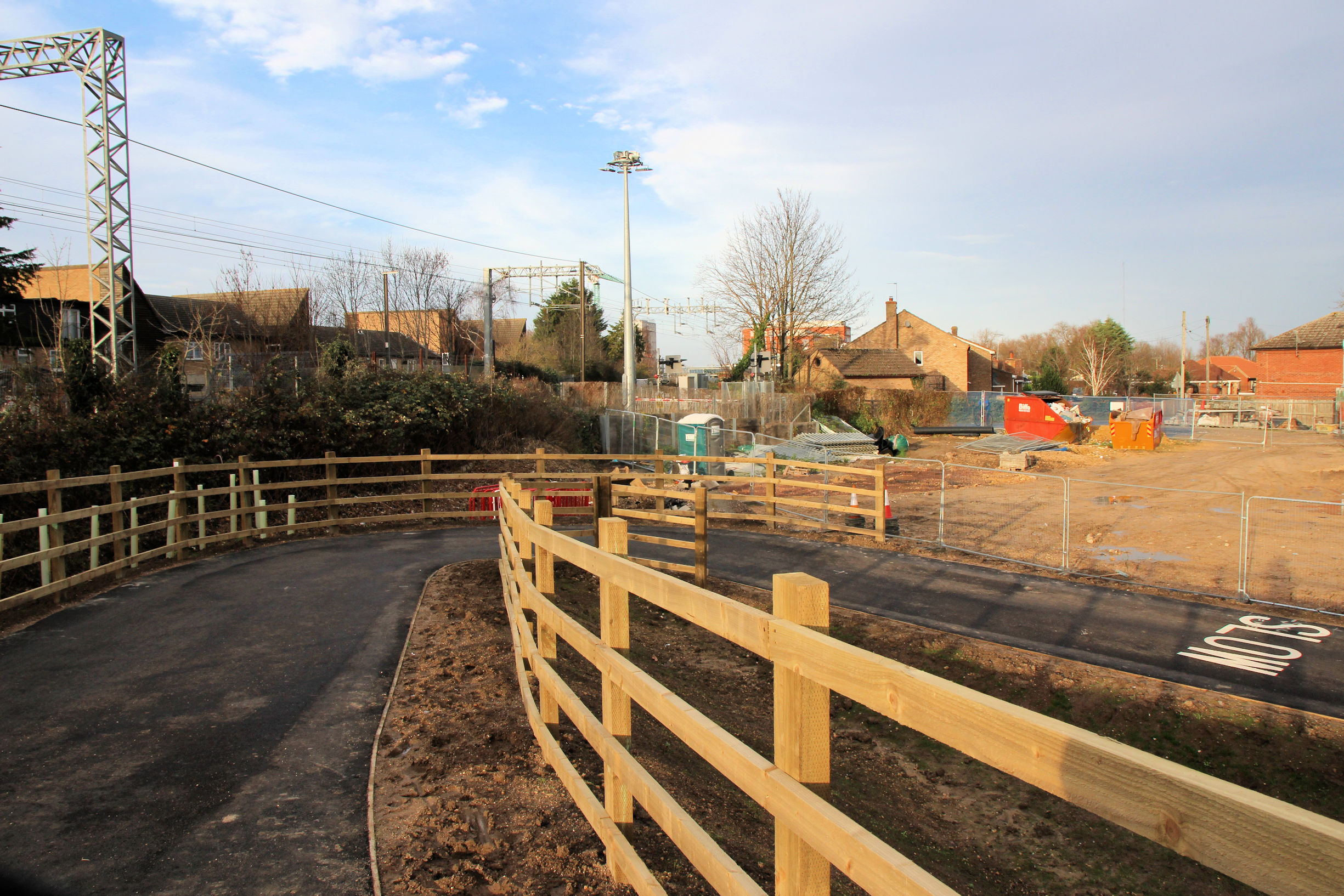
Until the Phase 2 path alongside the railway is completed, the route to Cromwell Road is via Sedgwick Street.
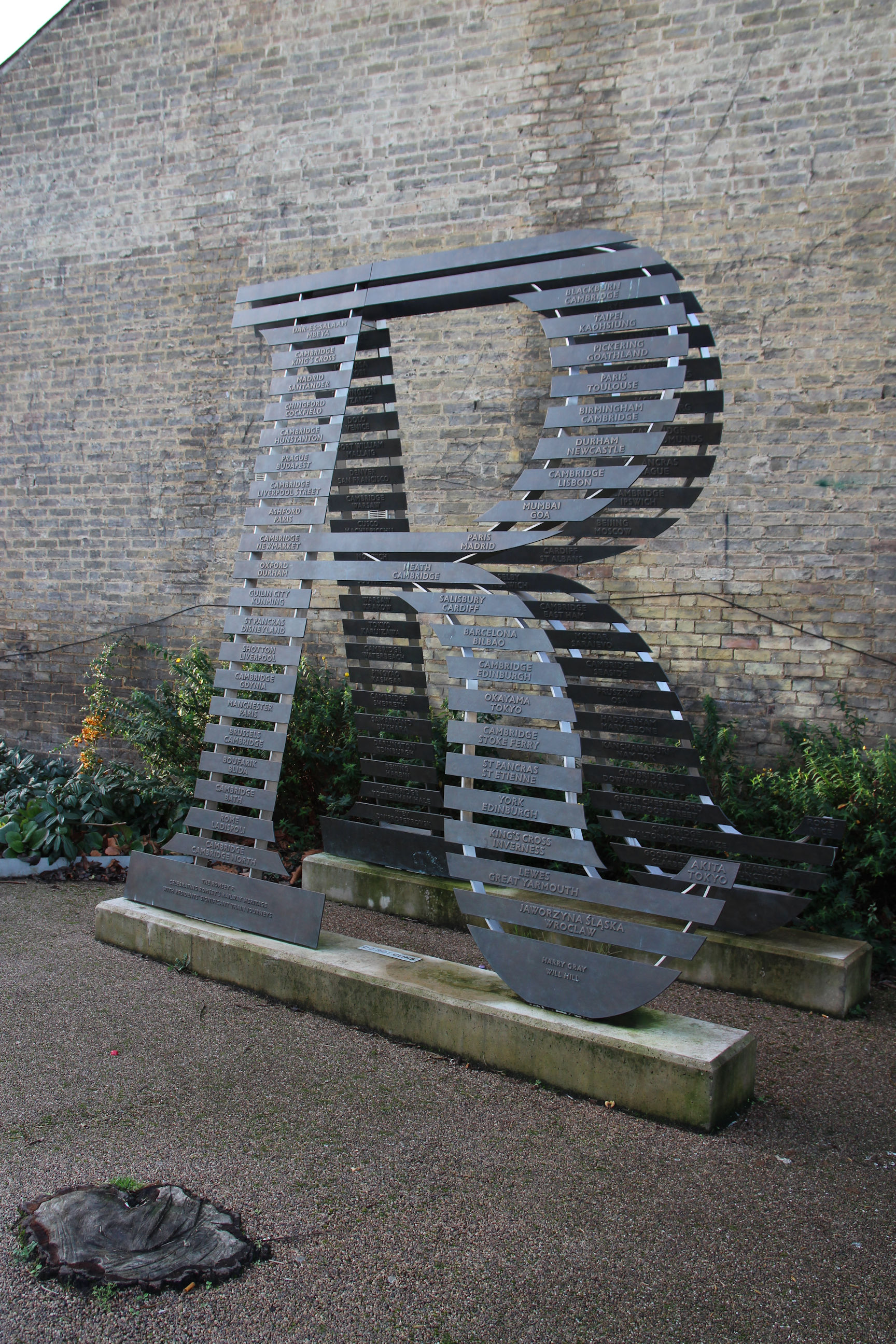
On the corner of Cavendish Road is the Romsey Railway Heritage Sculpture. This takes the form of a double letter ‘R’ in the style of railway tracks. The front ‘sleepers’ are bronze plaques engraved with station and destination names significant to local people.
From Mill Road I head along Sedgwick Street.

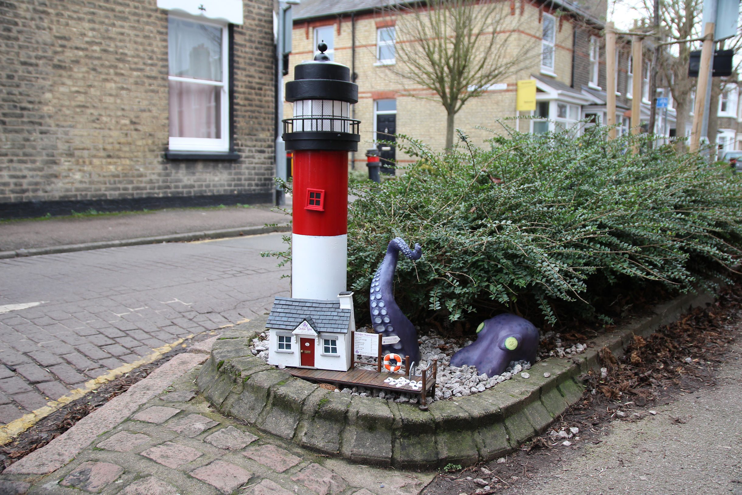
The Sedgwick Street OctoSpa. In a Twitter post I saw, someone had left a “pretty painted pebble” here decorated with a picture of it, but that doesn’t seem to be here any more.
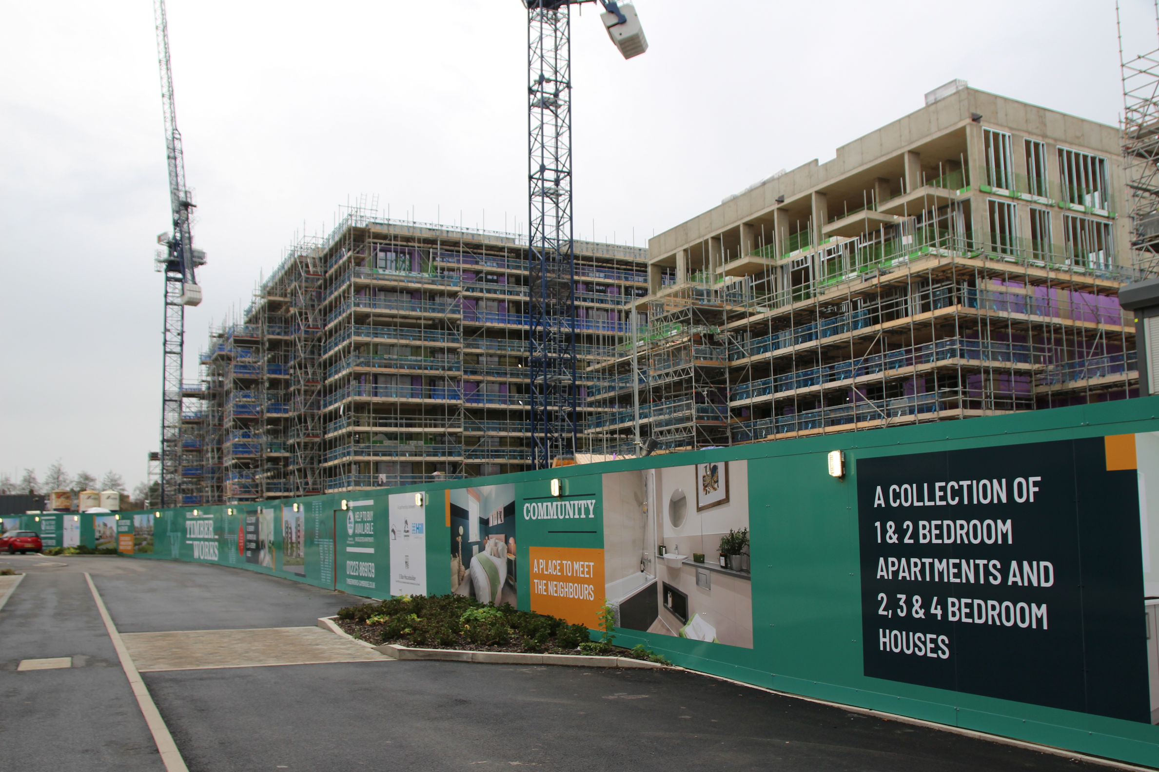
Cromwell Road and Timber Works
There has been a suggestion that the Chisholm Trail path from Mill Road Bridge to here will emerge via the driveway to the left of the Cromwell Road shops.
However a new fence has been erected around the Timber Works site, with no sign of provision for a route through.

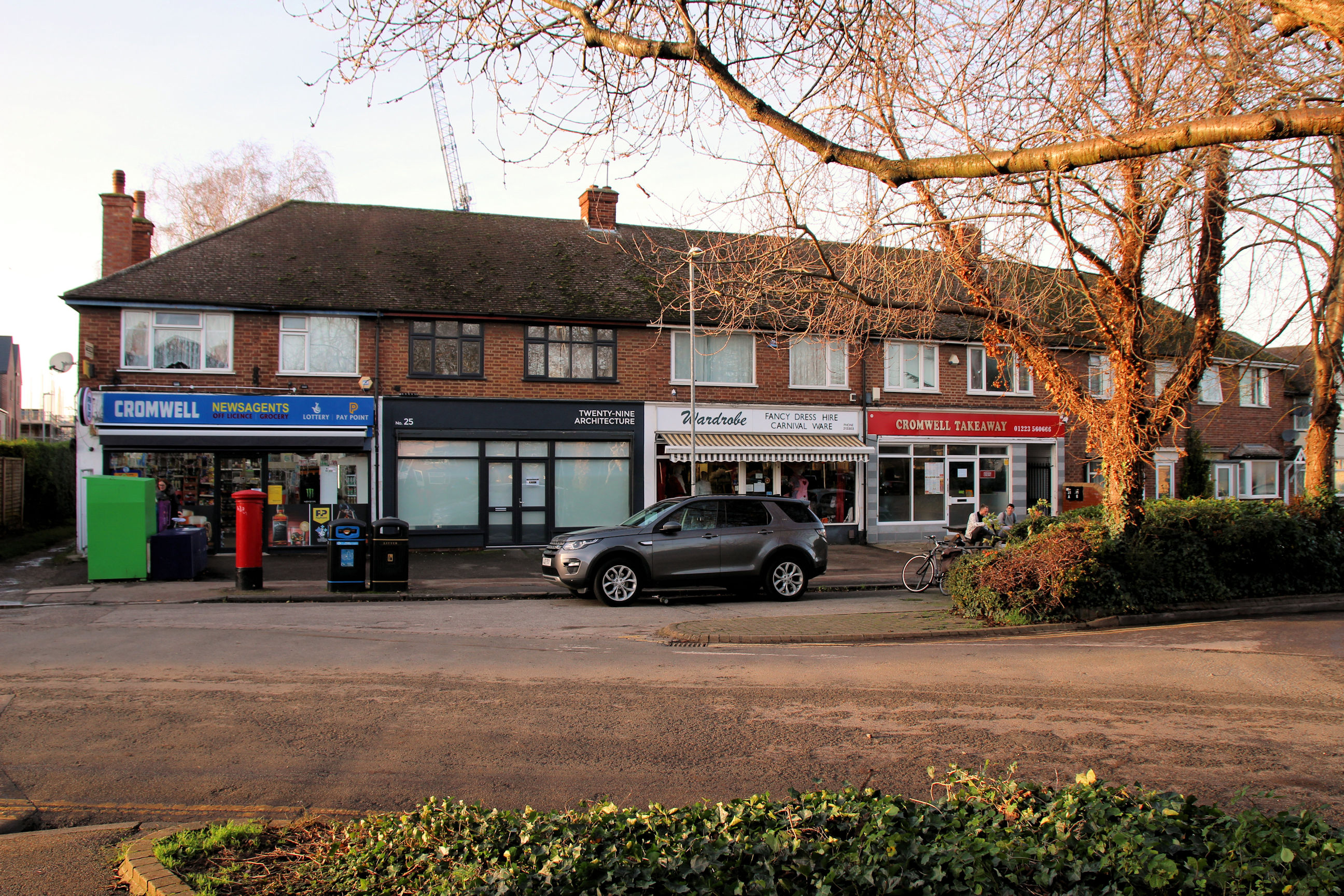
The driveway runs to the right behind the shops and some neighbouring houses, and emerges at the first road entrance to the Timber Works site. As there are two road entrances to this site it may be unnecessary to add a pedestrian and cycle route via the driveway, although that might provide more passing trade for the Cromwell Newsagents.
The identical TV aerials on all these houses suggest they have a common landlord (possibly the council), as developers never normally fit them and residents usually acquire an assortment of different ones.

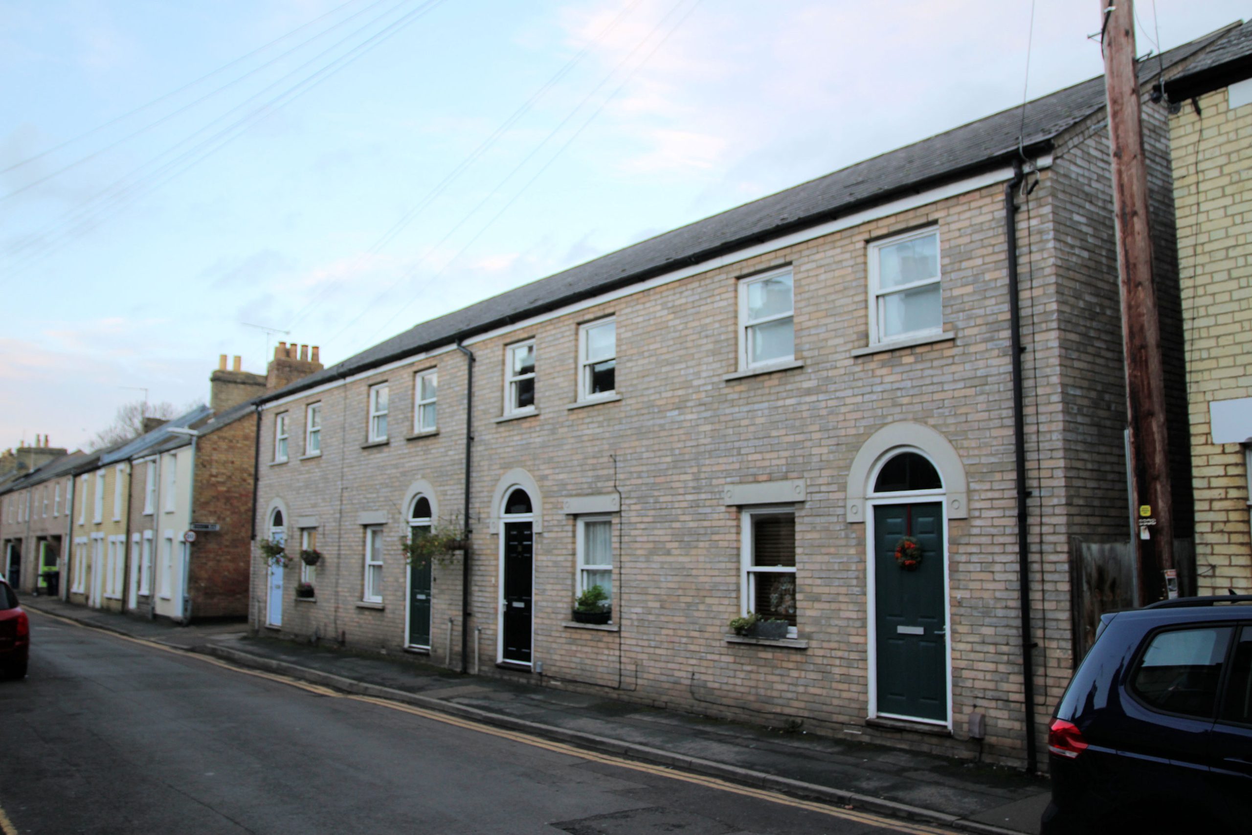
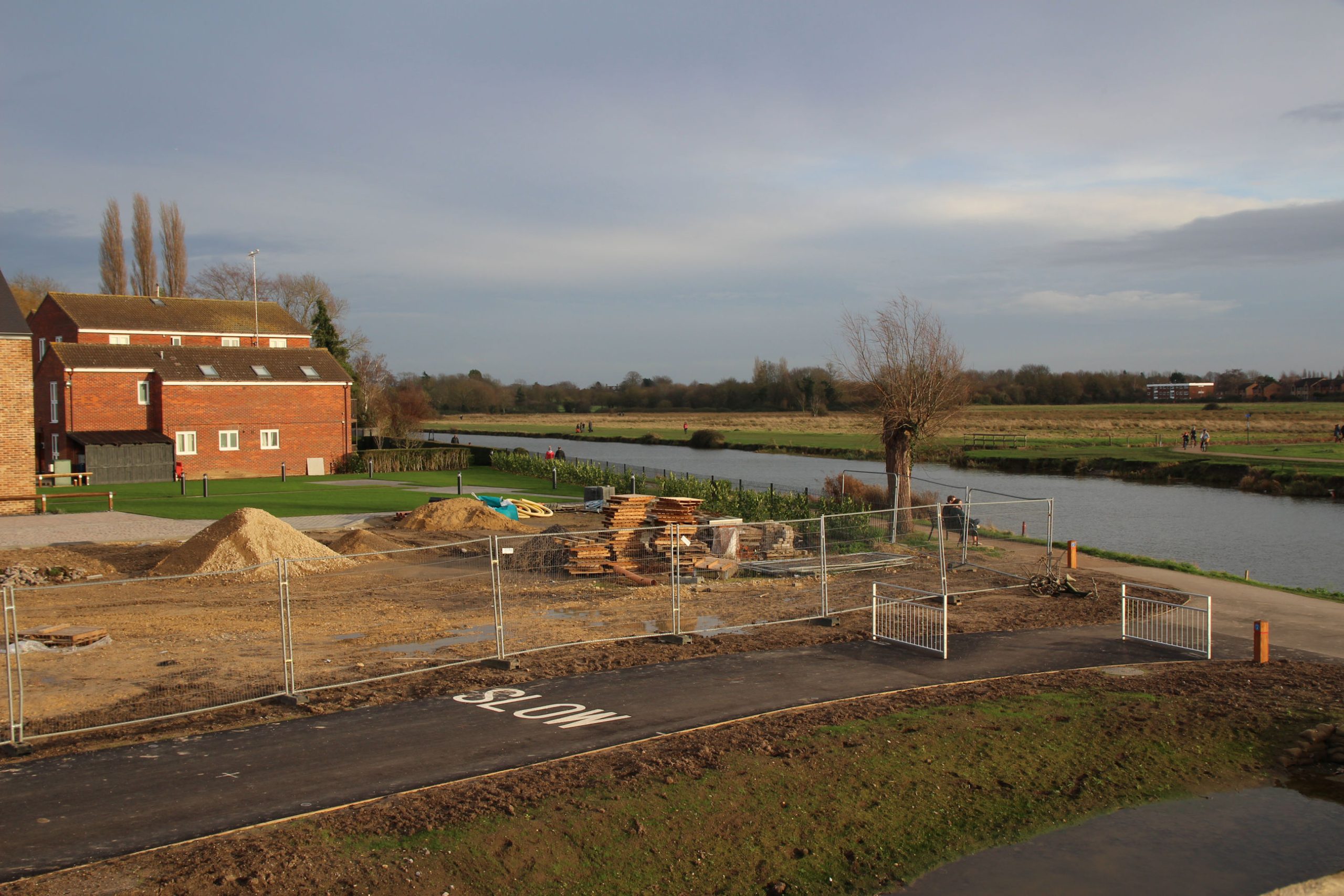
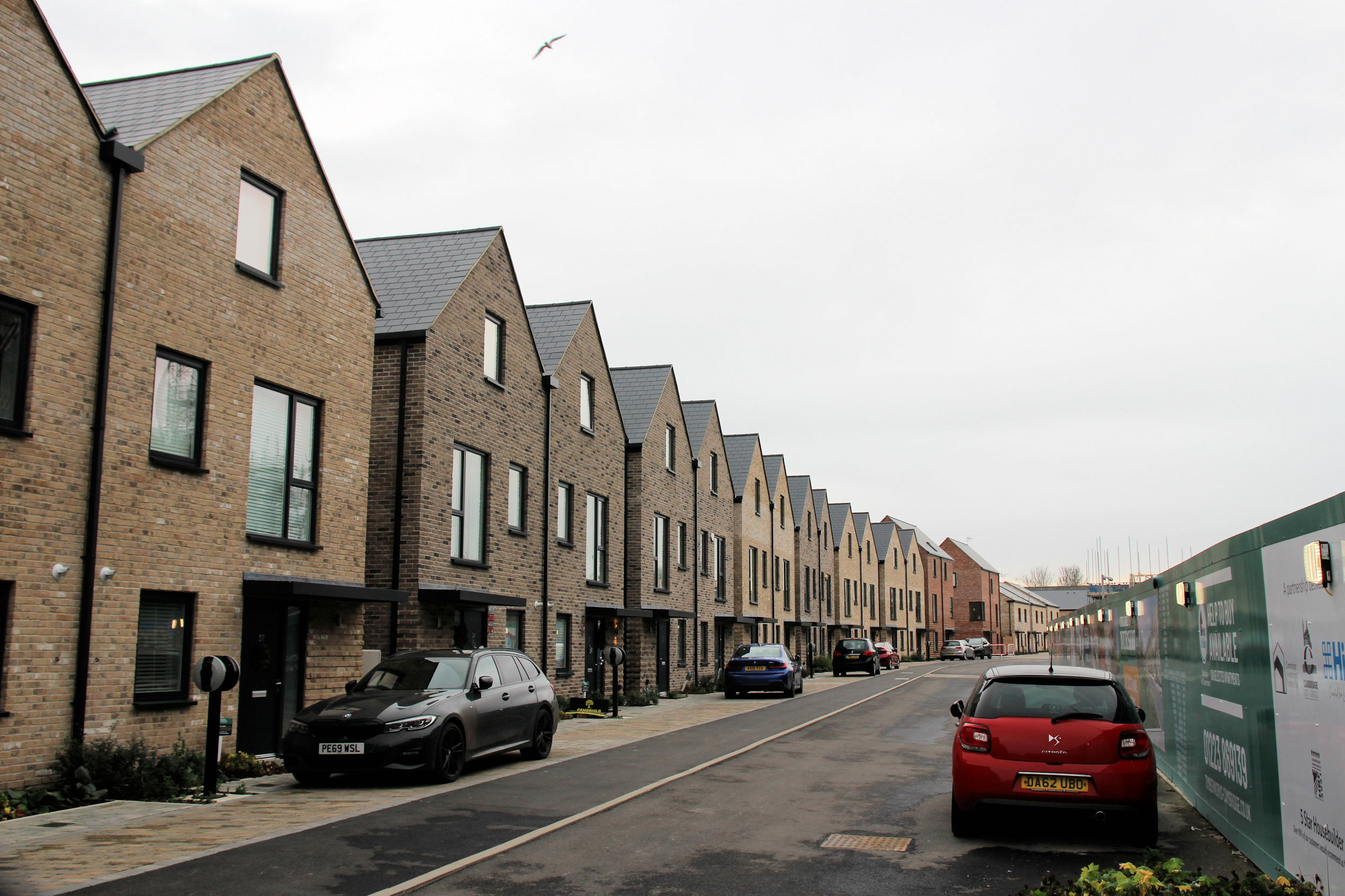
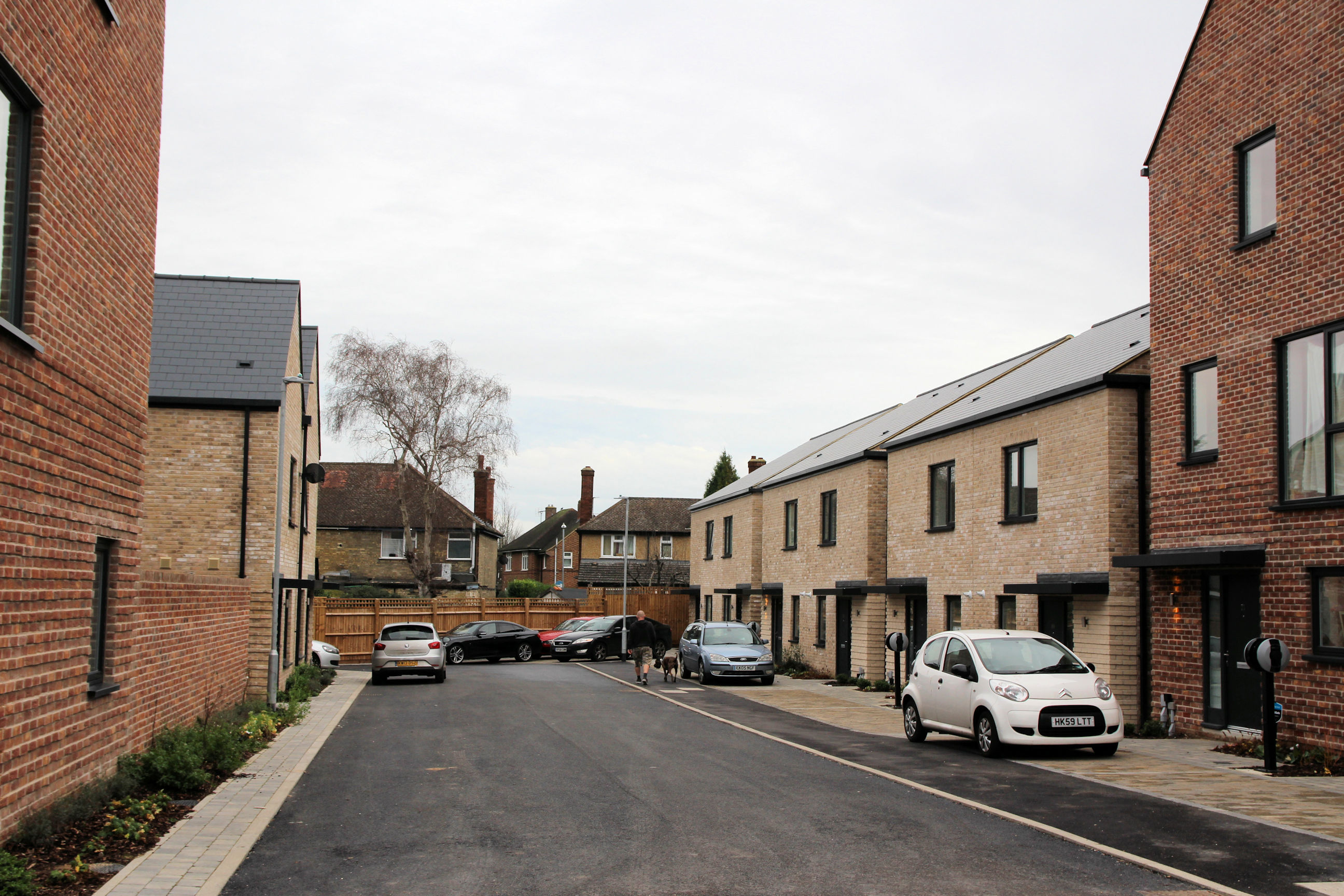
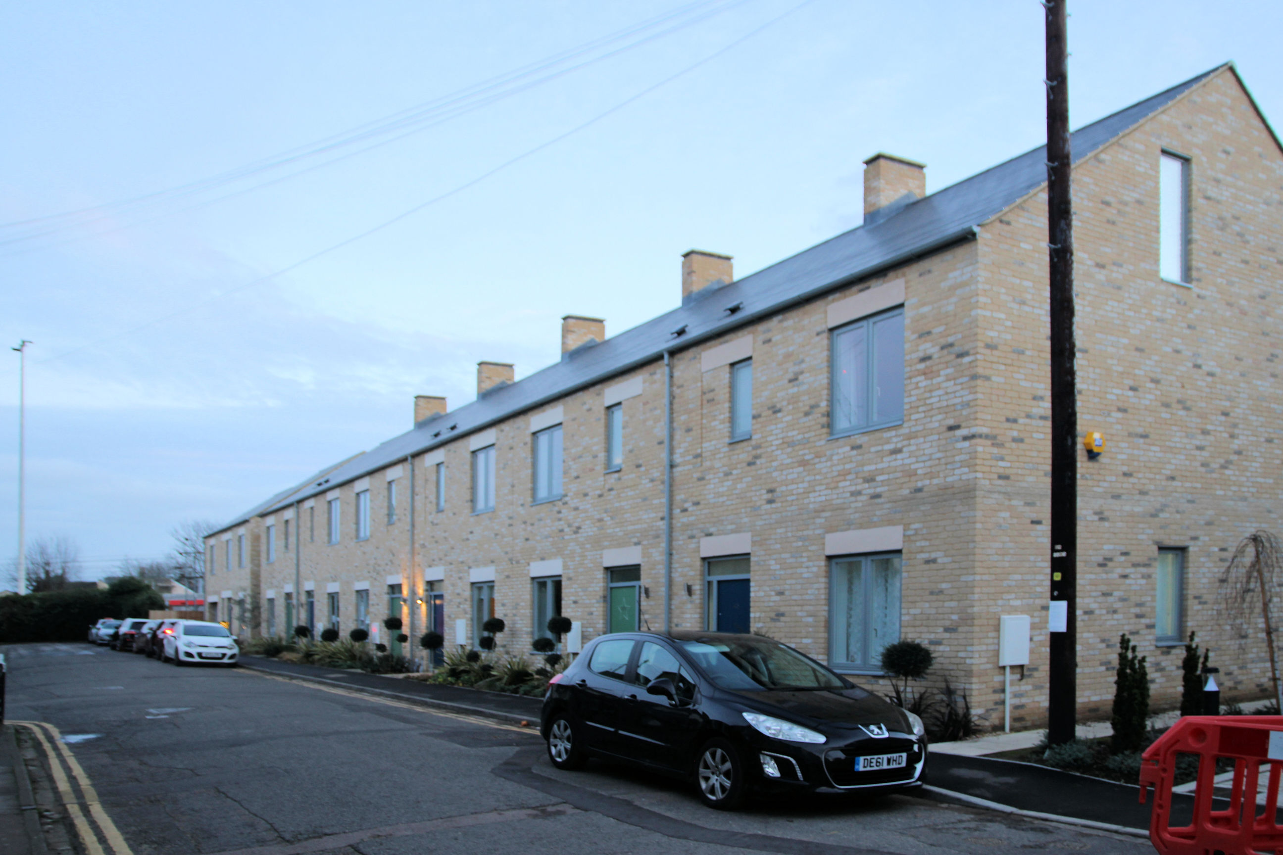
The houses on the Cromwell Road side of the Timber Works development are complete and some are occupied. They have electric vehicle charging points outside.
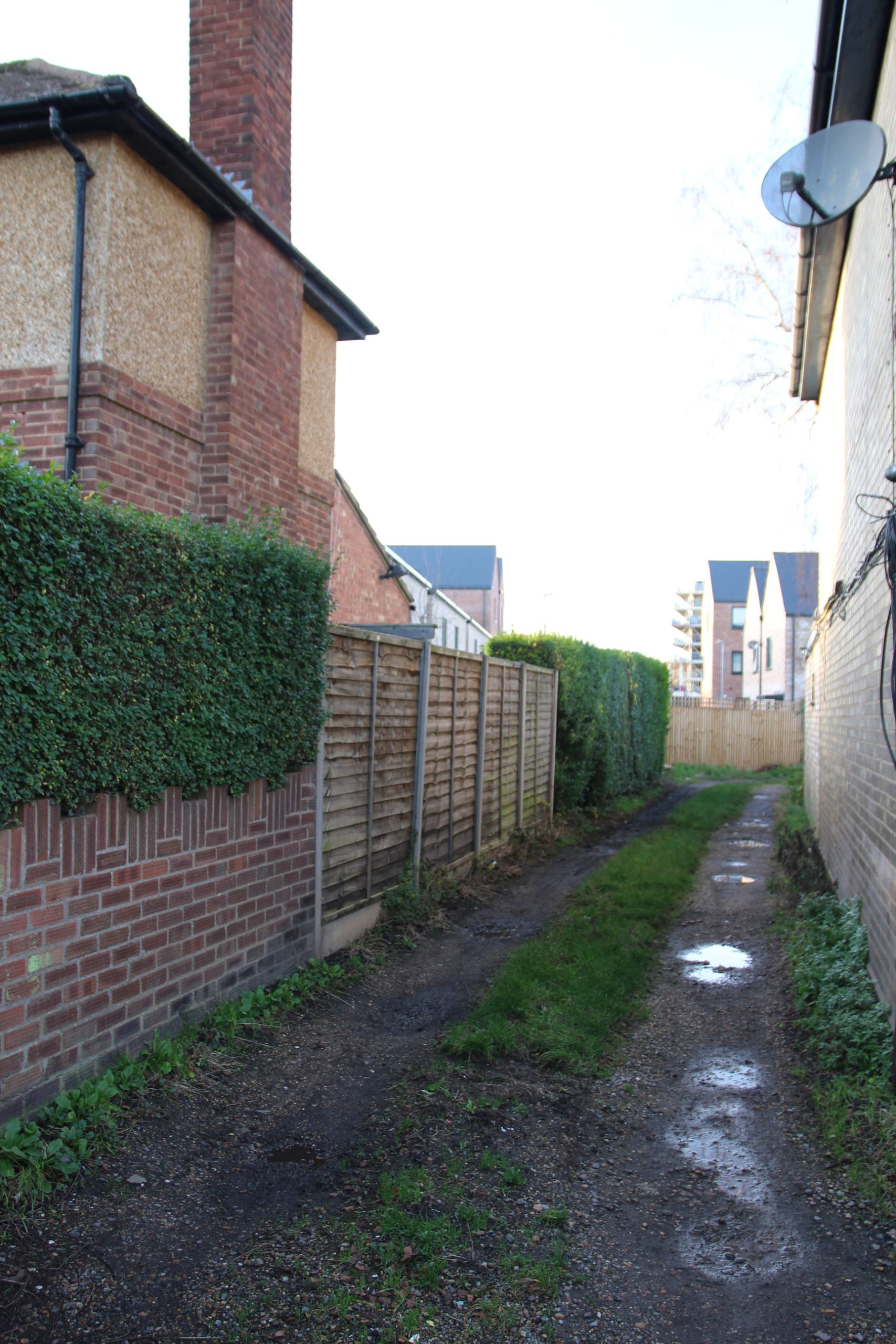
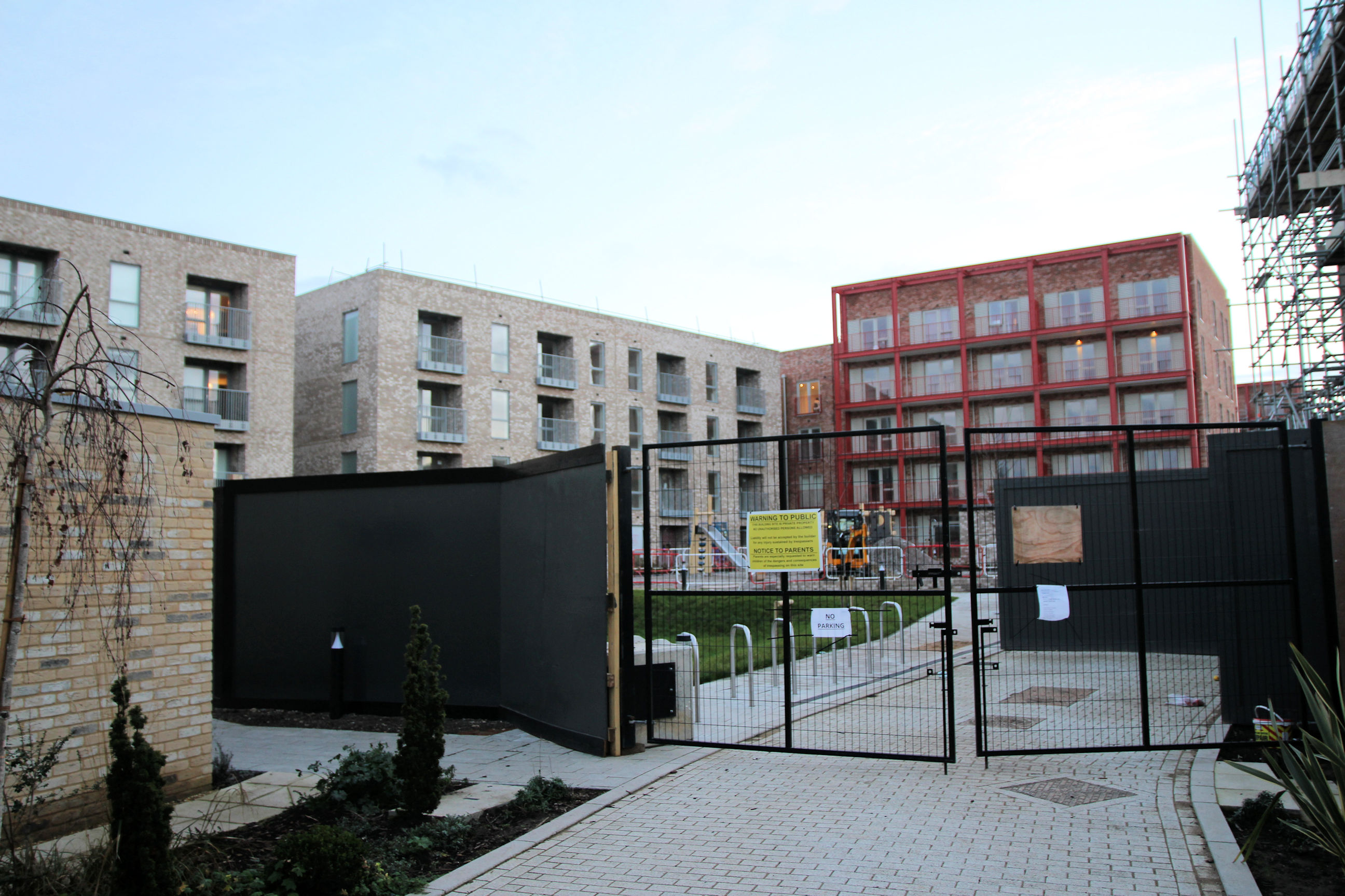
On the railway side, construction of flats is ongoing. In the distance there should eventually be a route through to the trail path along the railway track to Mill Road Bridge.
If there is to be a path through to the left of the Cromwell Road shops, access to it will be from here.
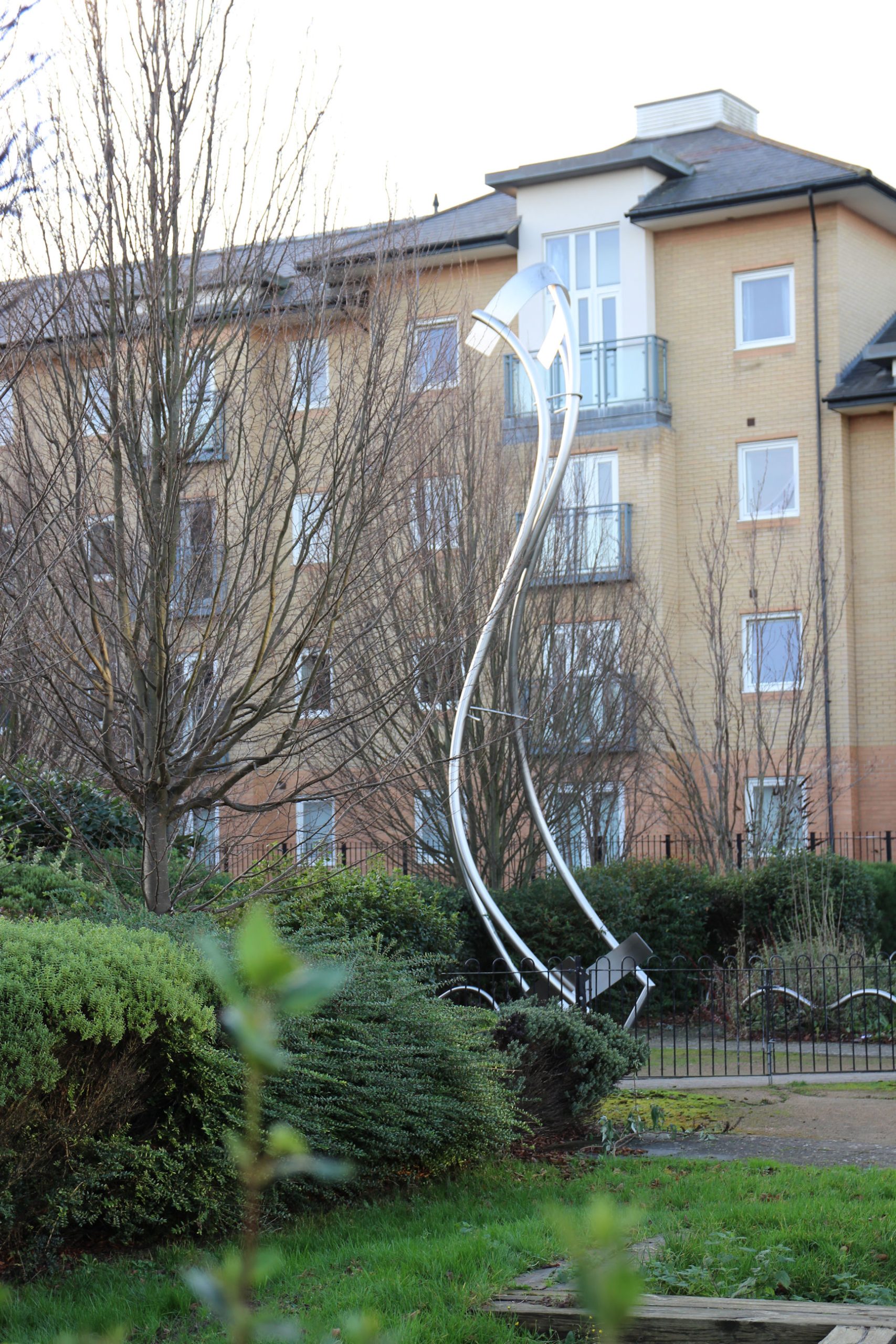
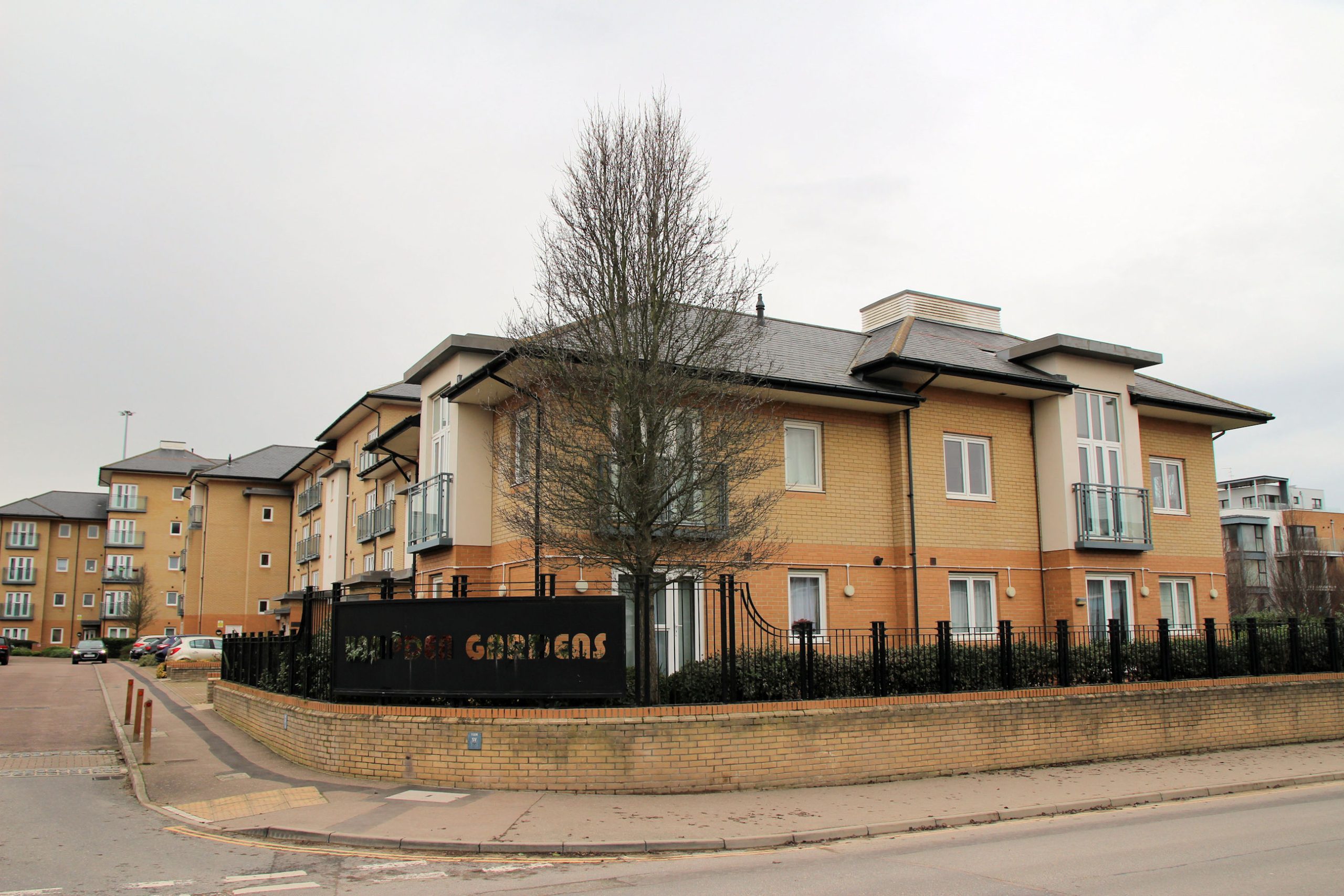
I carry on along Cromwell Road past Hampden Gardens. The sign with letters punched out isn’t easy to read from some angles where there are dark things behind it.

In Hampden Gardens there is this curved sculpture. I don’t know anything about it but I do know someone who lives there so will ask them sometime.

A view of the other side of Cromwell Road in the low winter sun. New Year’s Eve and New Year’s Day had exceptional temperatures of 15-16C, but only the first had clear blue skies.
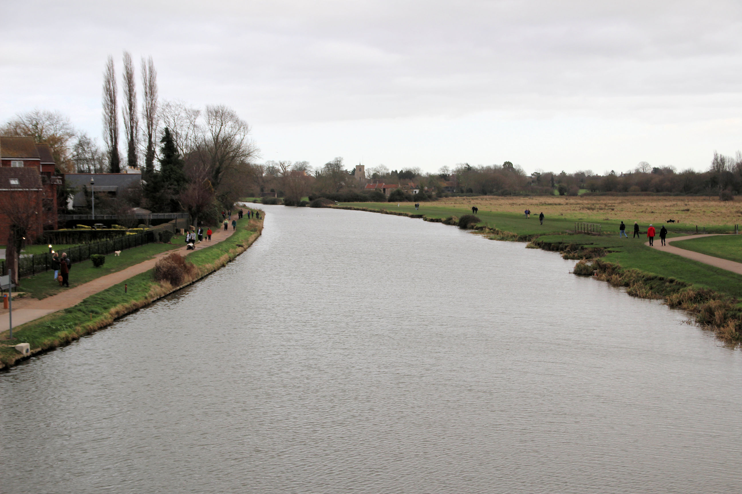
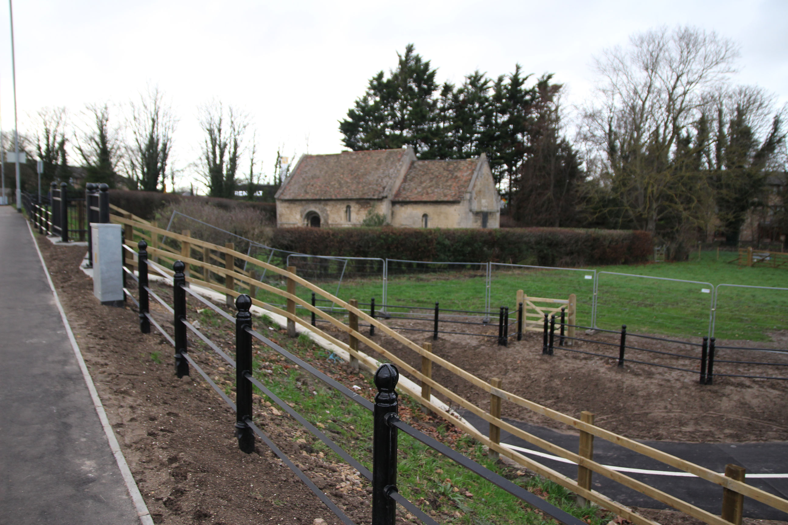
Coldham’s Common
There may have been some improvements here but the entrance to Coldham’s Common is basically unchanged. All the pedestrian gates are now square rather than triangular.
The path across the common to the railway bridge has been widened and resurfaced.
There are new cattle grids and gates either side of the railway bridge. The bridge has gained reflective markings, but they have already been defaced. The obsecenity on the black diagonal strips is one of three incidents of graffiti I reported on the council website after going through the photos of the trail.
The other side of the bridge is more heavily defaced although I haven’t spotted any obscenities.

The widened, resurfaced path continues towards the Abbey Stadium in the distance.
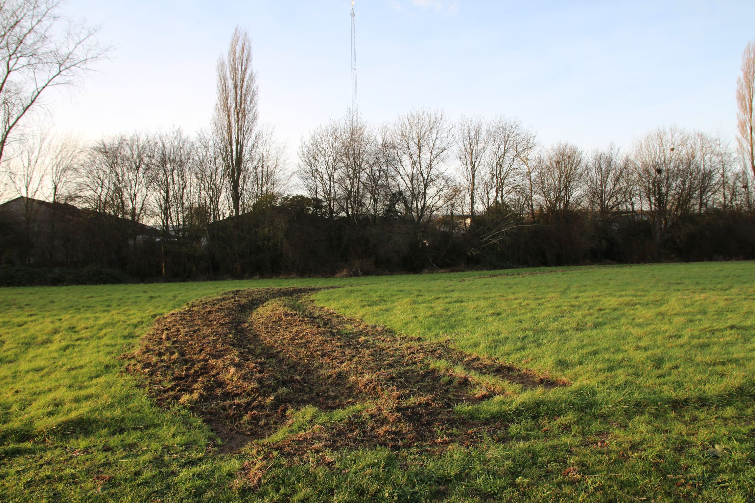
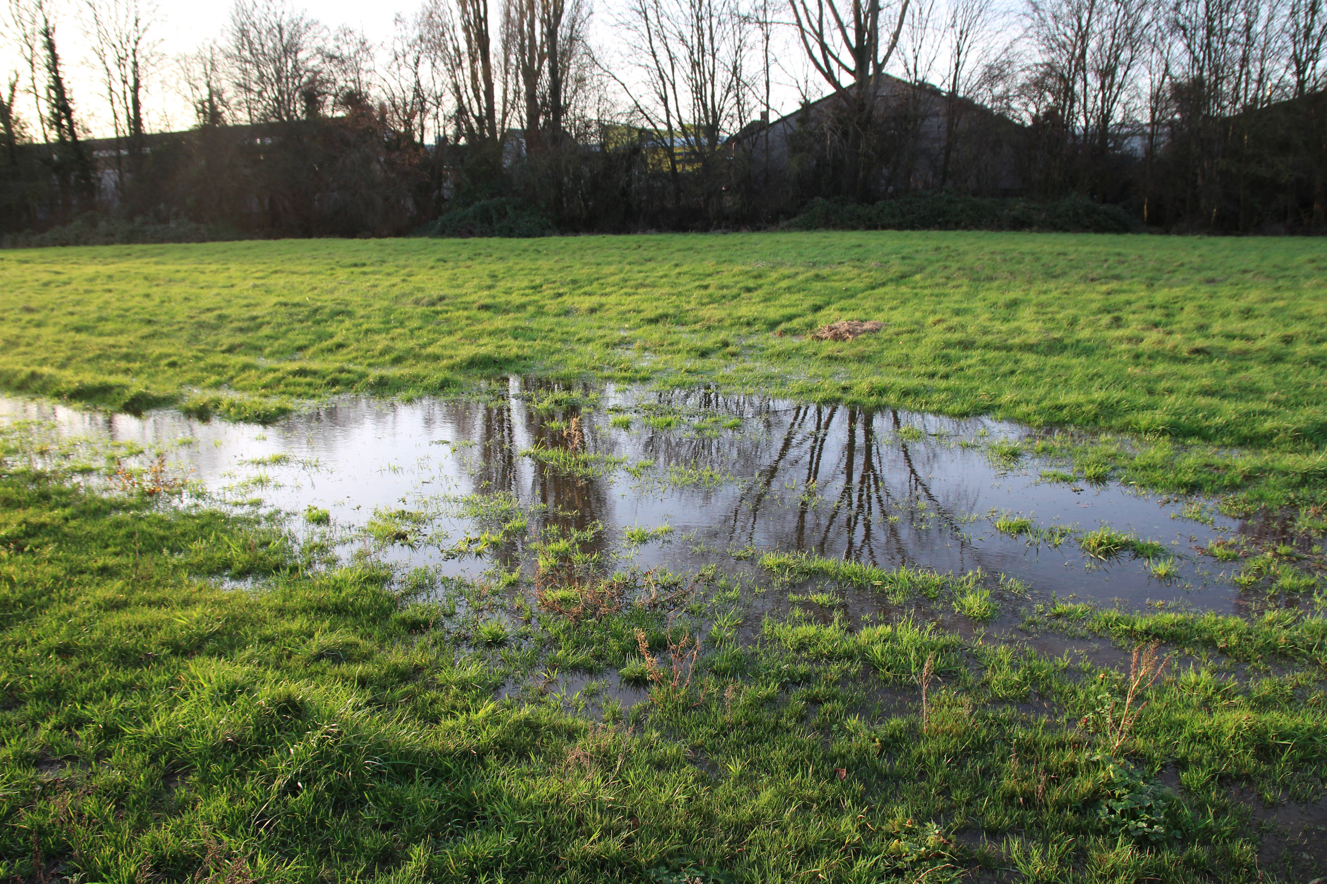
Parts of the common are currently waterlogged.
In places there’s surviving evidence of the construction works and temporary paths.
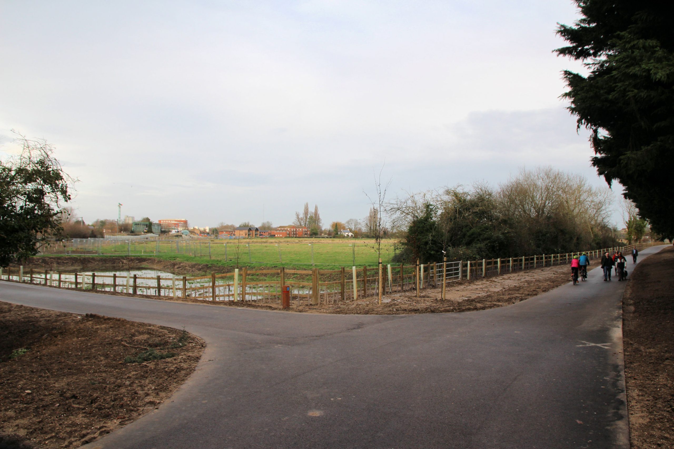
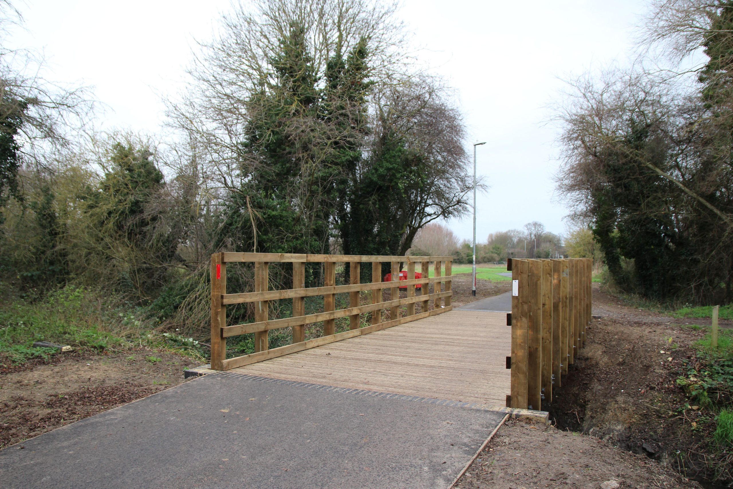
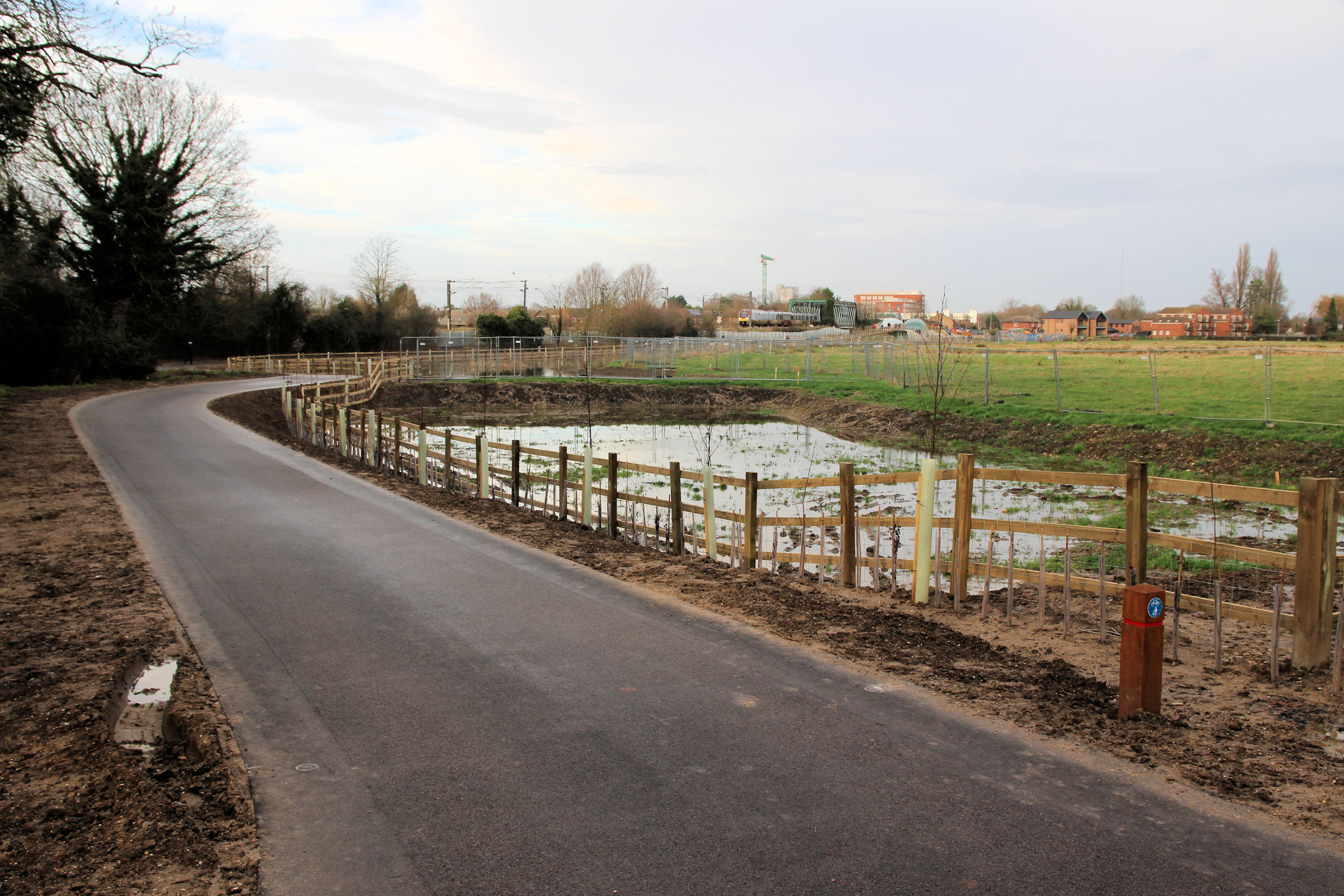
A new wooden bridge has been built across Coldham’s Brook. There’s still some red construction barrier nearby.

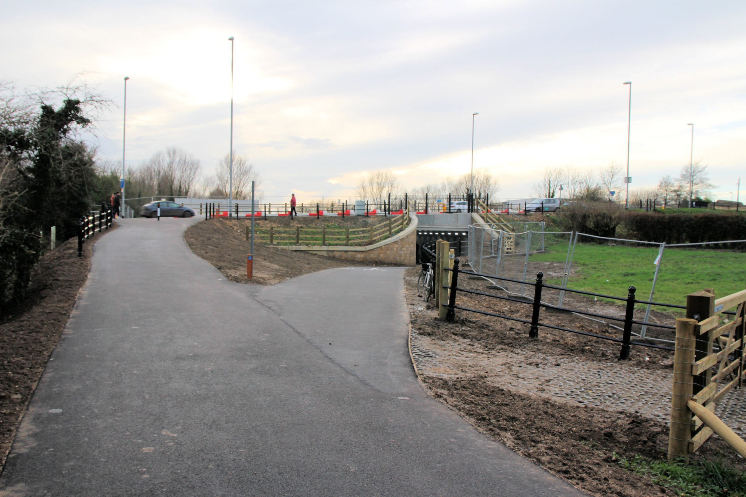
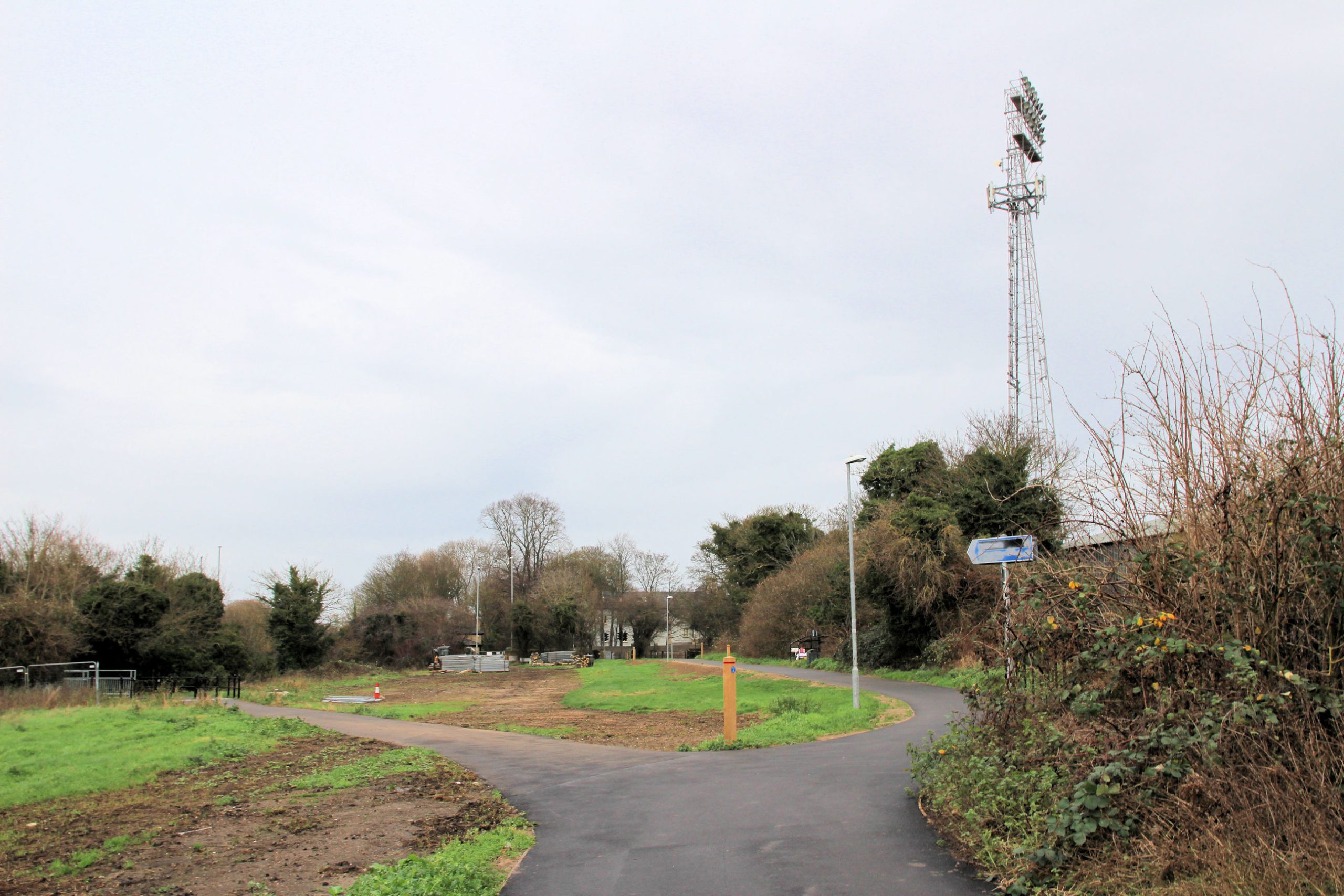
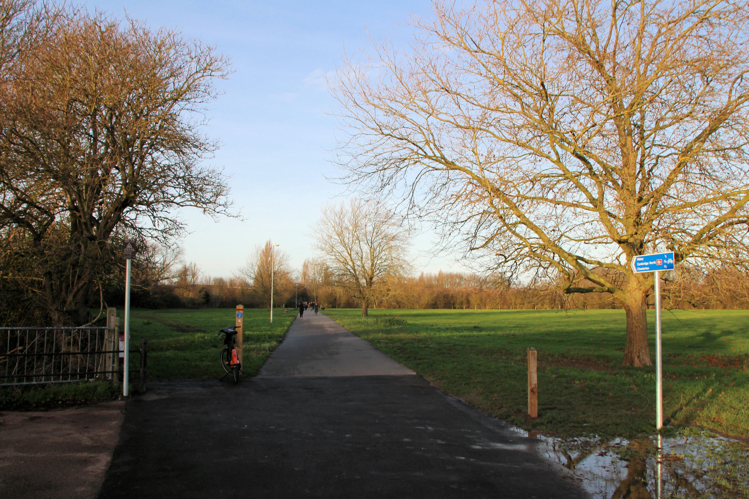
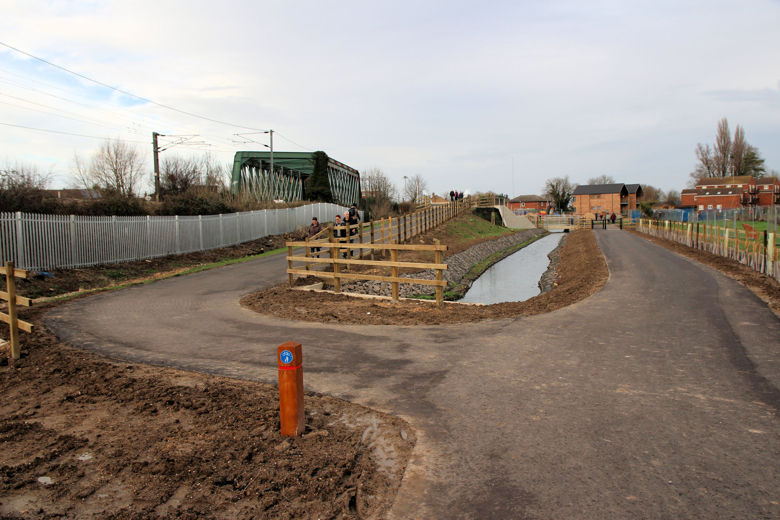
The path along the Abbey Stadium stand entrances has been resurfaced. Here a new path branches off to the left, leading to the Newmarket Road underpass.

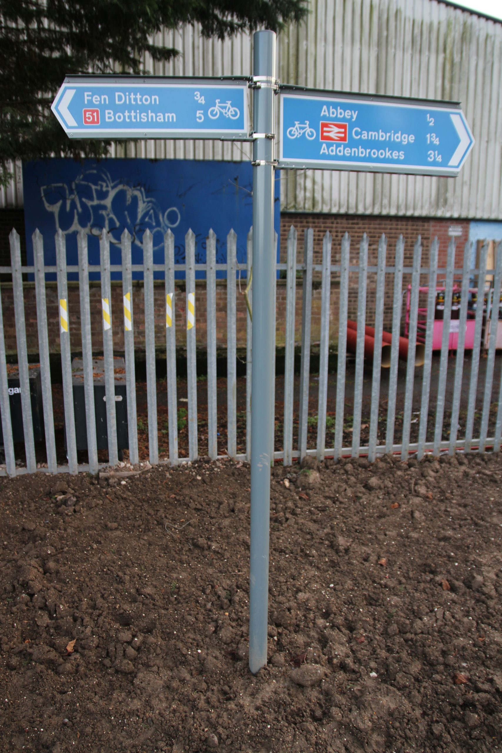
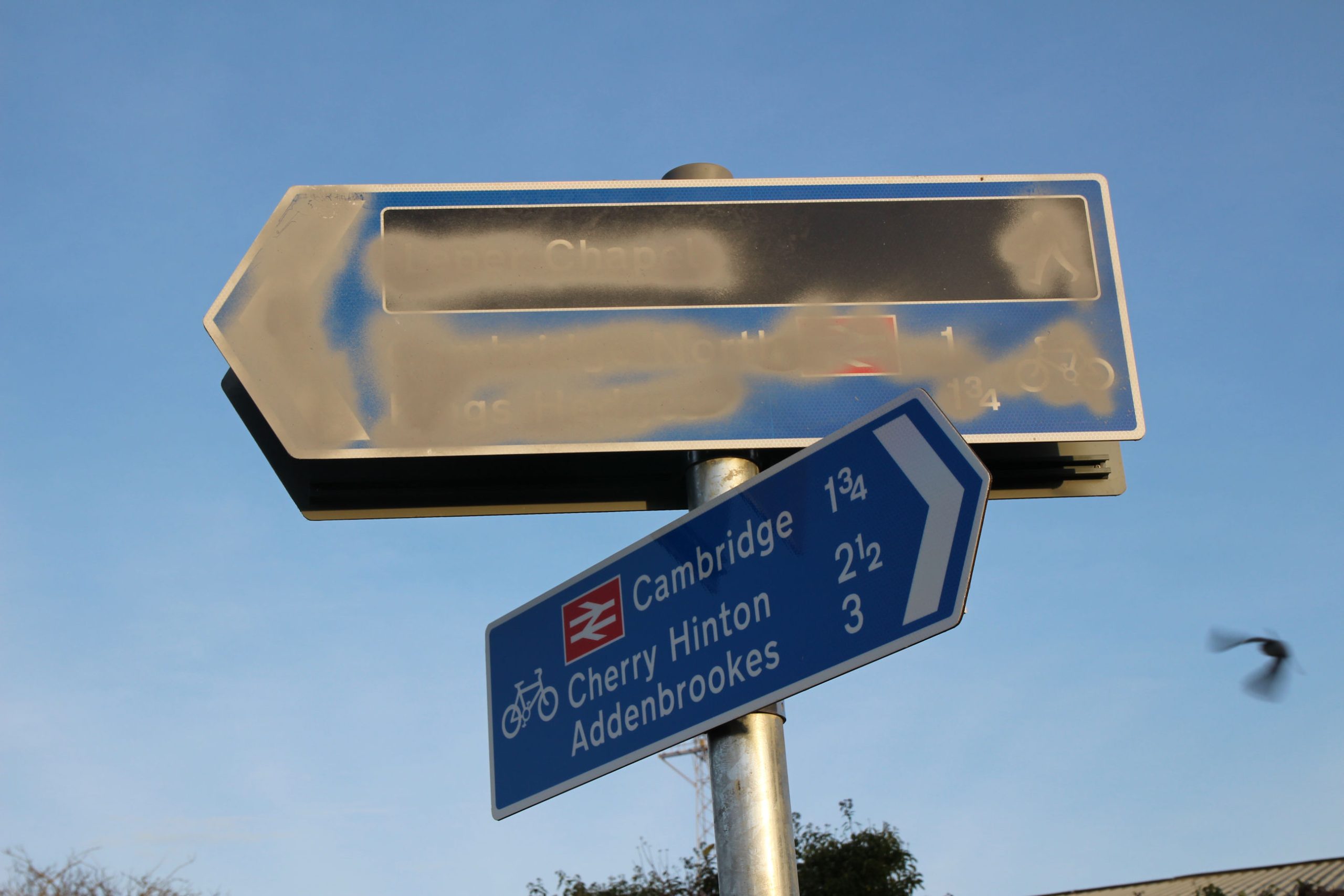
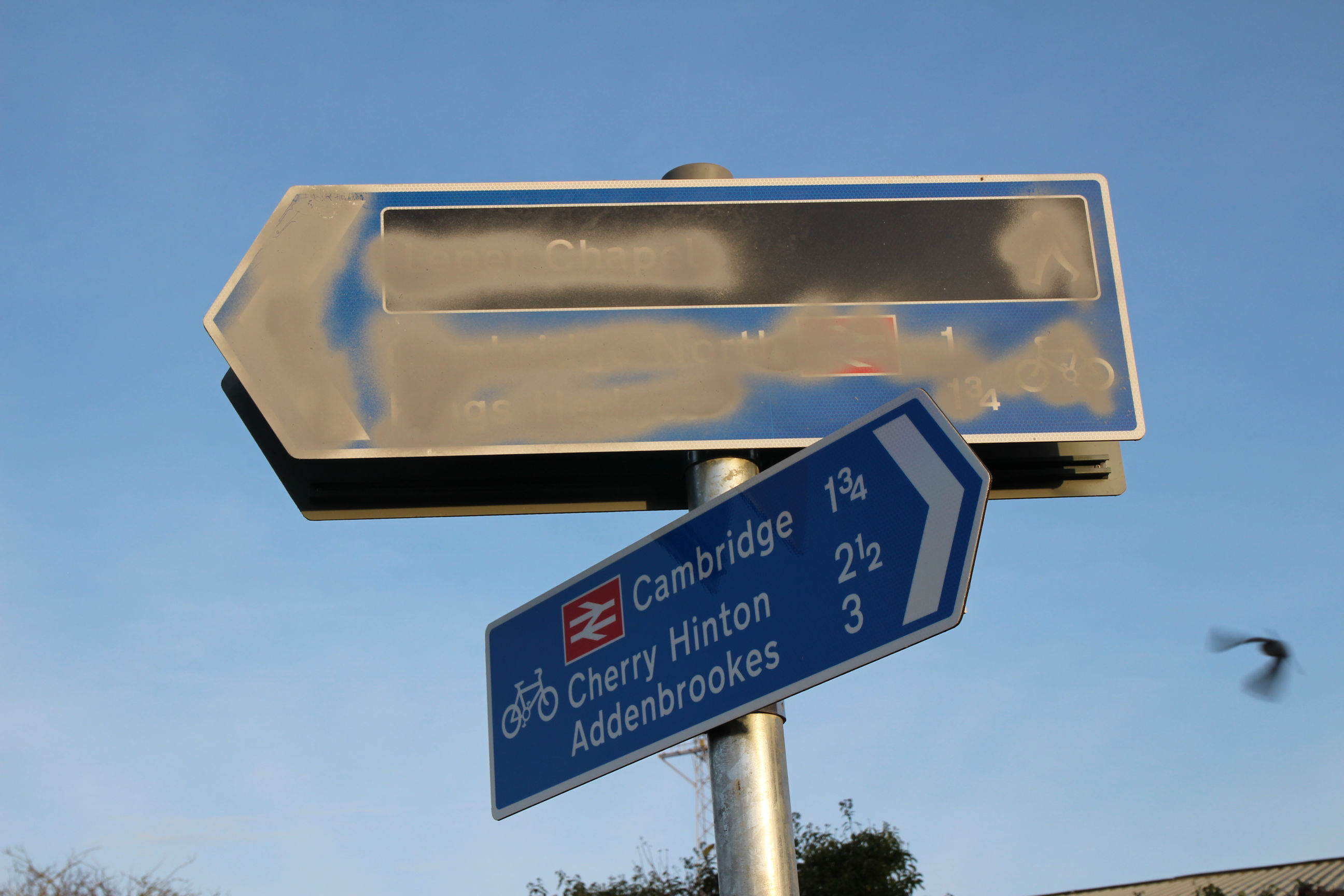
The signpost pointing along the new path has been blotted out. That pointing back towards Coldham’s Lane shows 1 3/4 miles to Cambridge Station and 3 miles to Addenbrookes. I’ll return to these figures later.
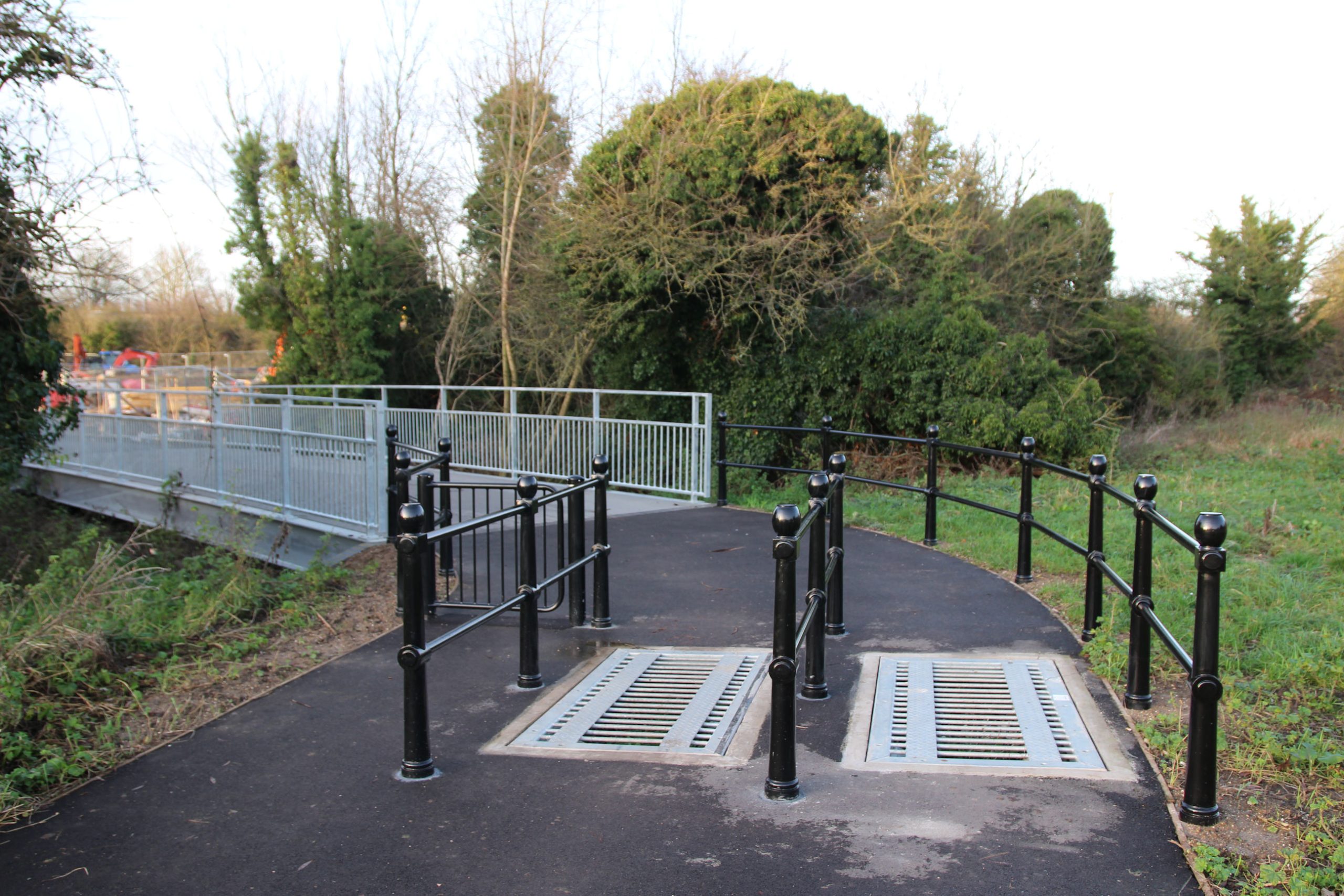
On the new path there is another bridge, with a cattle grid, over the brook leading from Barnwell Lake.
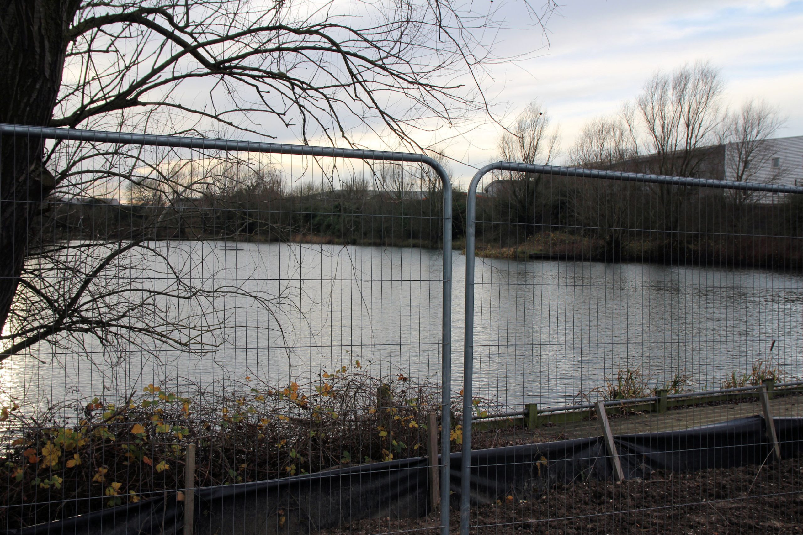
People have commented on the mixture of railing, fence and gate finishes – black ‘heritage’ style, bare metal and wooden – used along the trail route. This would look better with the bridge railings (which do need to be denser) painted black.

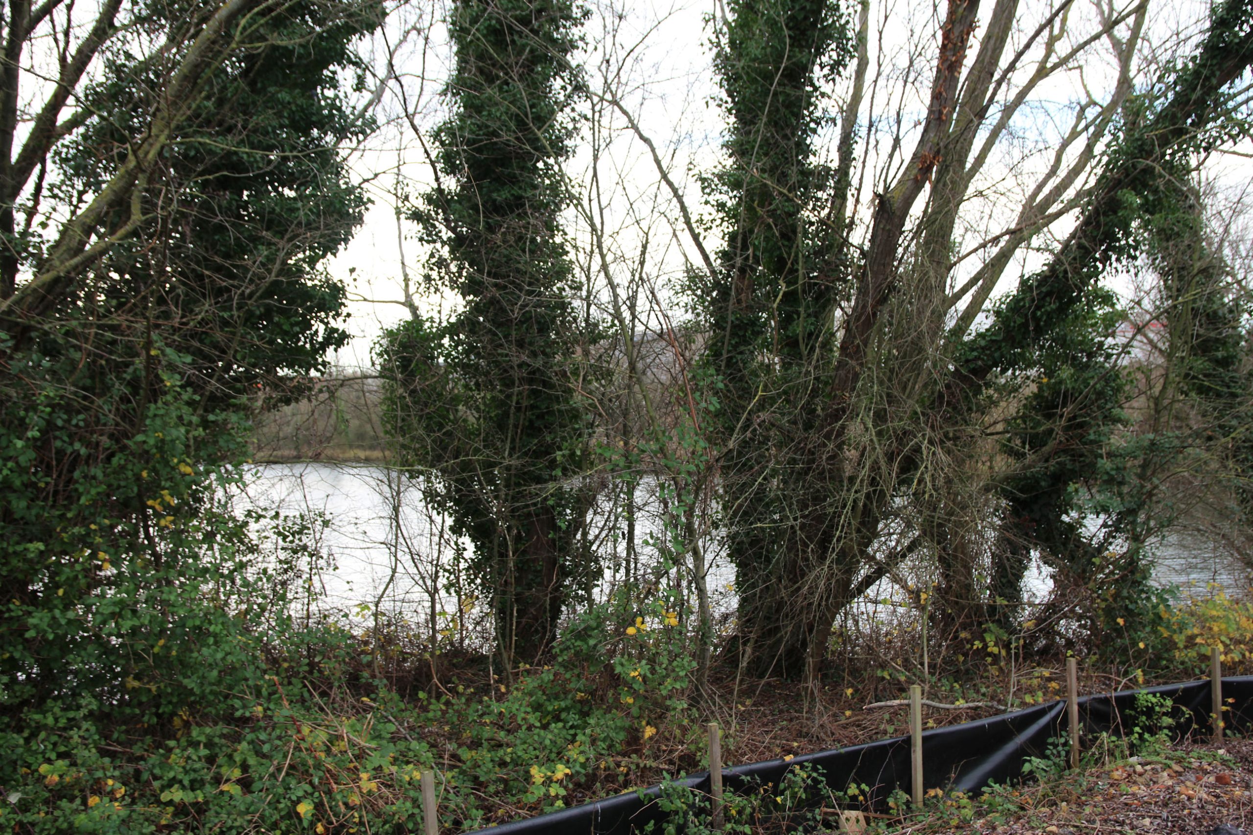
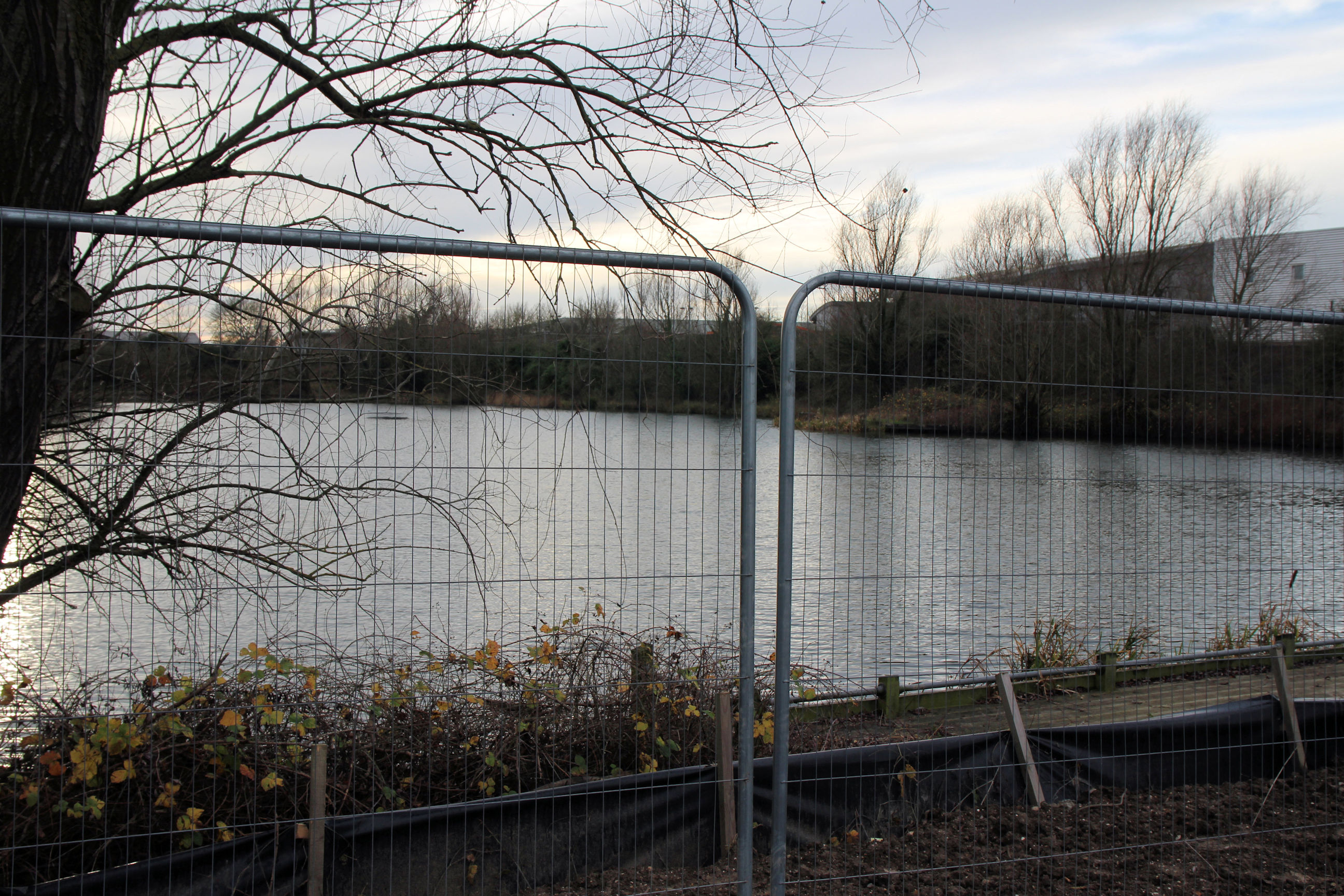
Here Barnwell Lake can be seen through the trees.

A little further along the path, there are still temporary construction barriers.
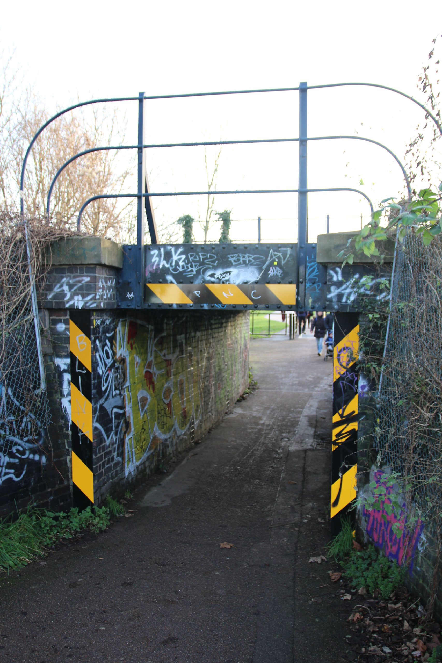
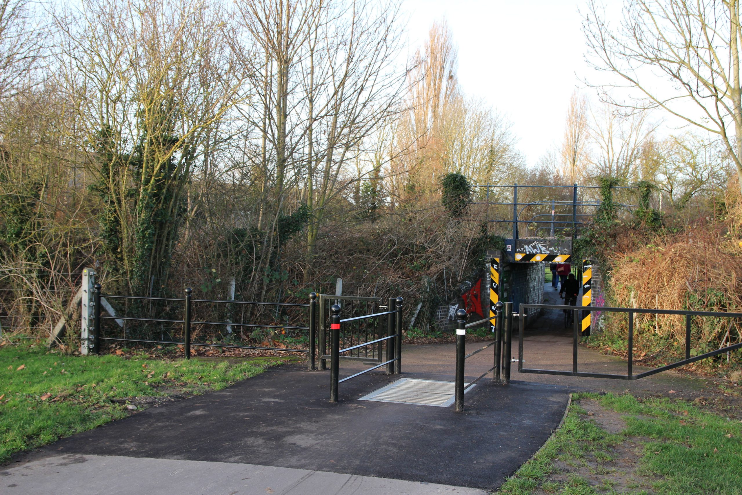
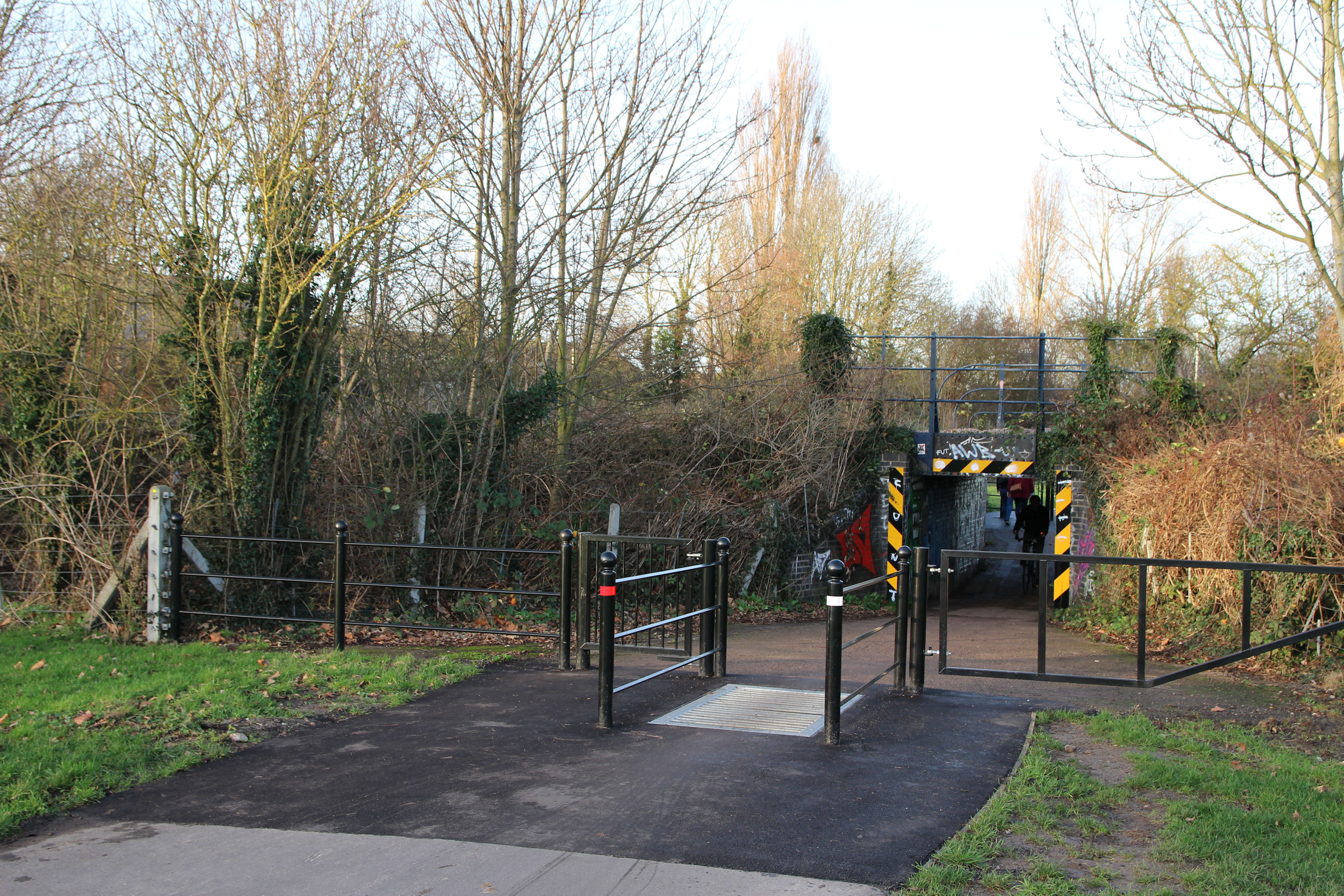
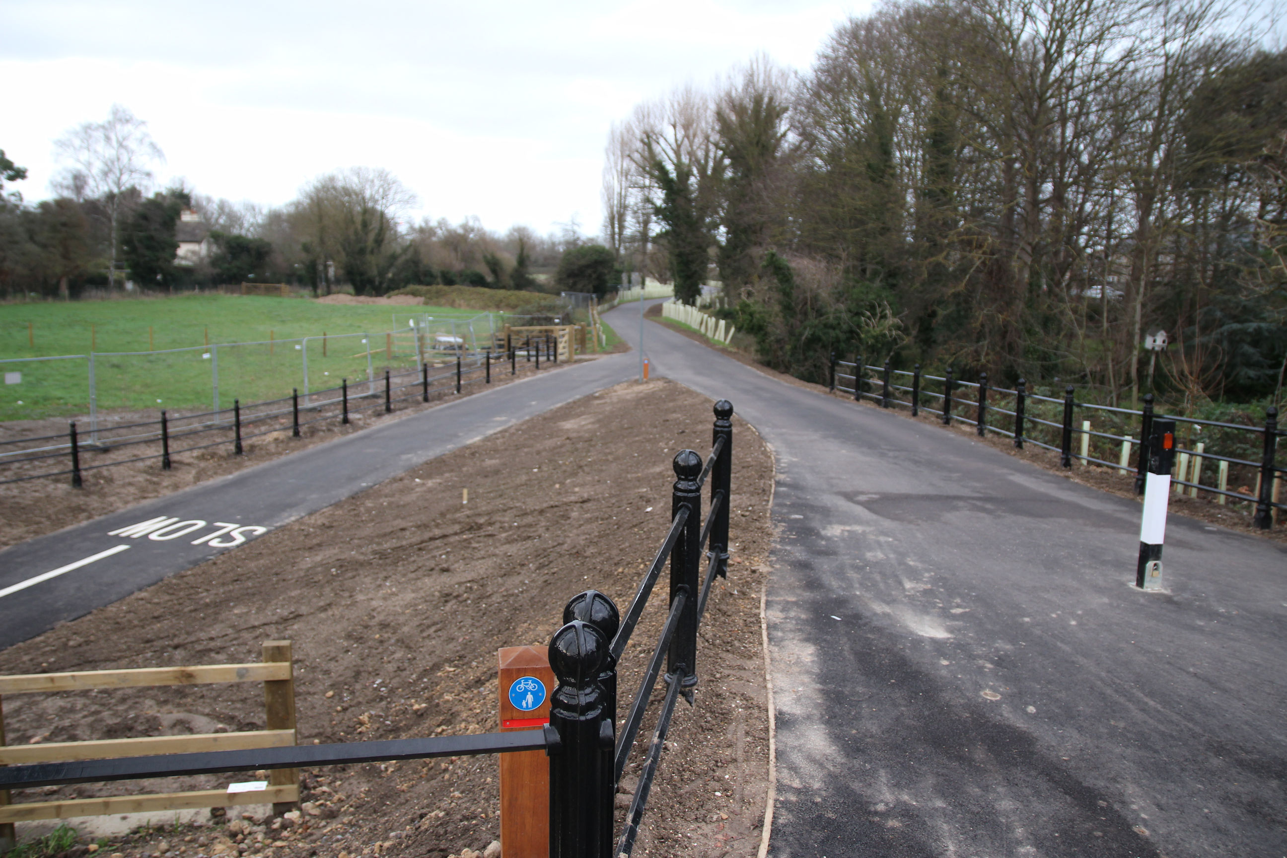
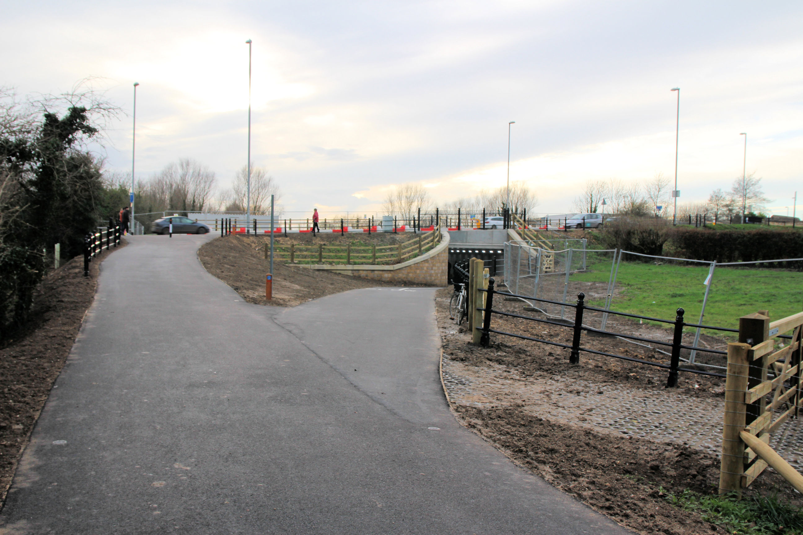
Newmarket Road Underpass
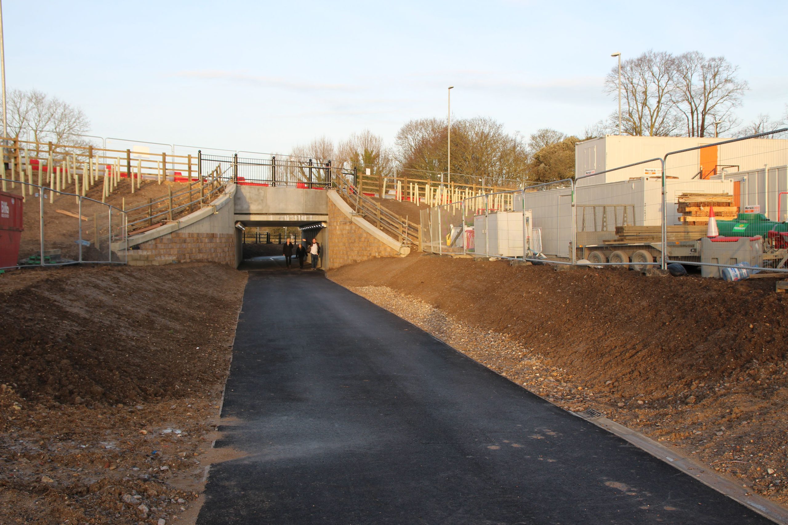
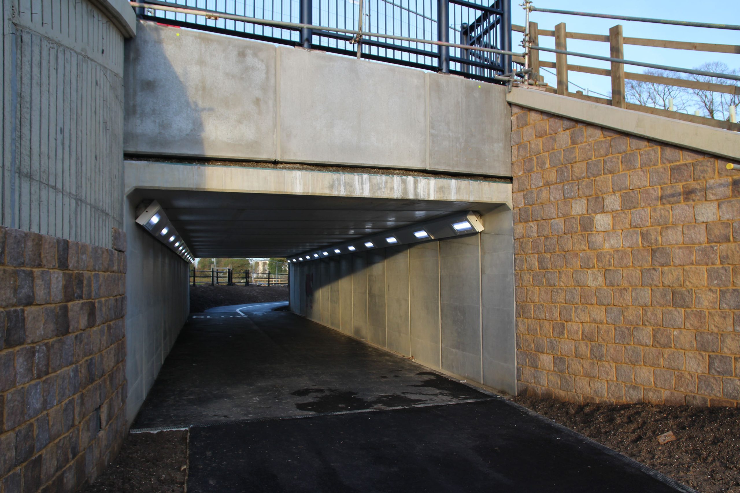
There’s still construction work going on around here although the underpass is open.
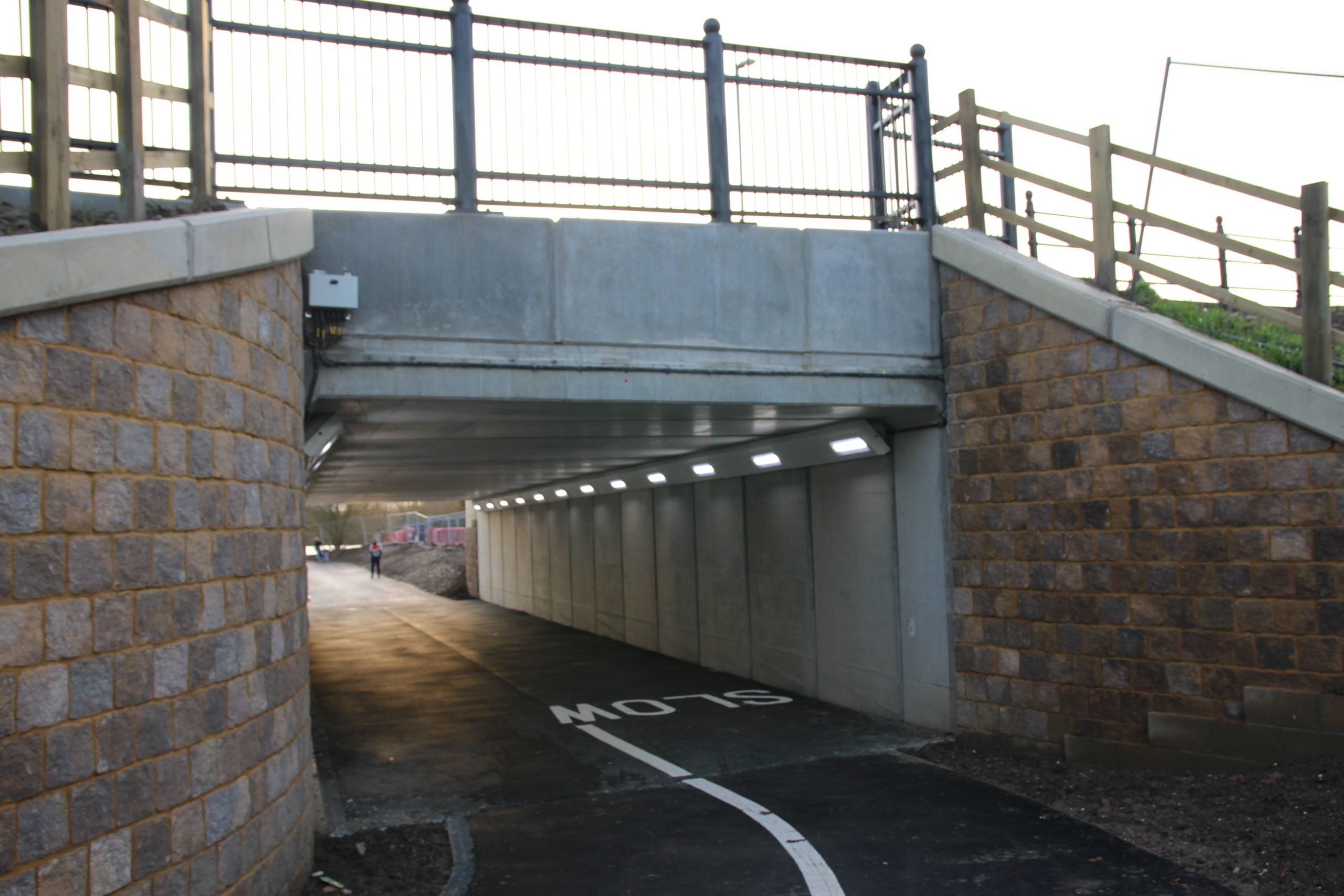
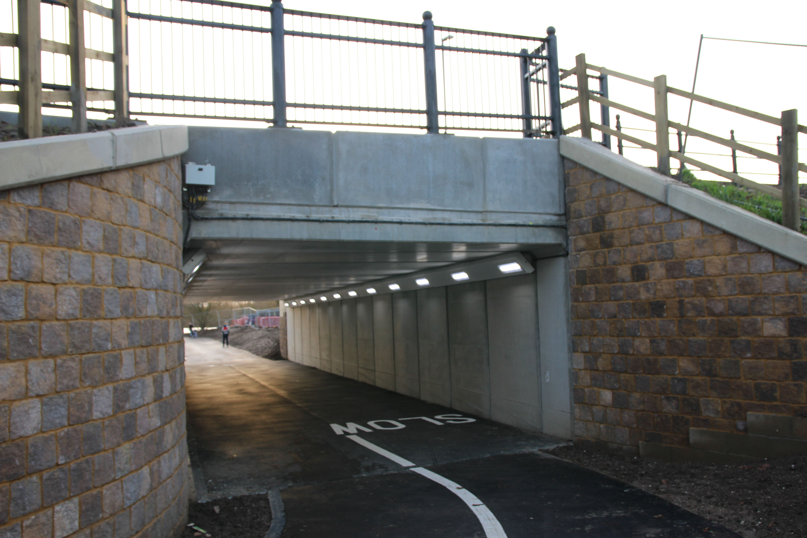
The apparent blocks on either side of the entrance are a cladding over concrete that isn’t yet complete on the left side.

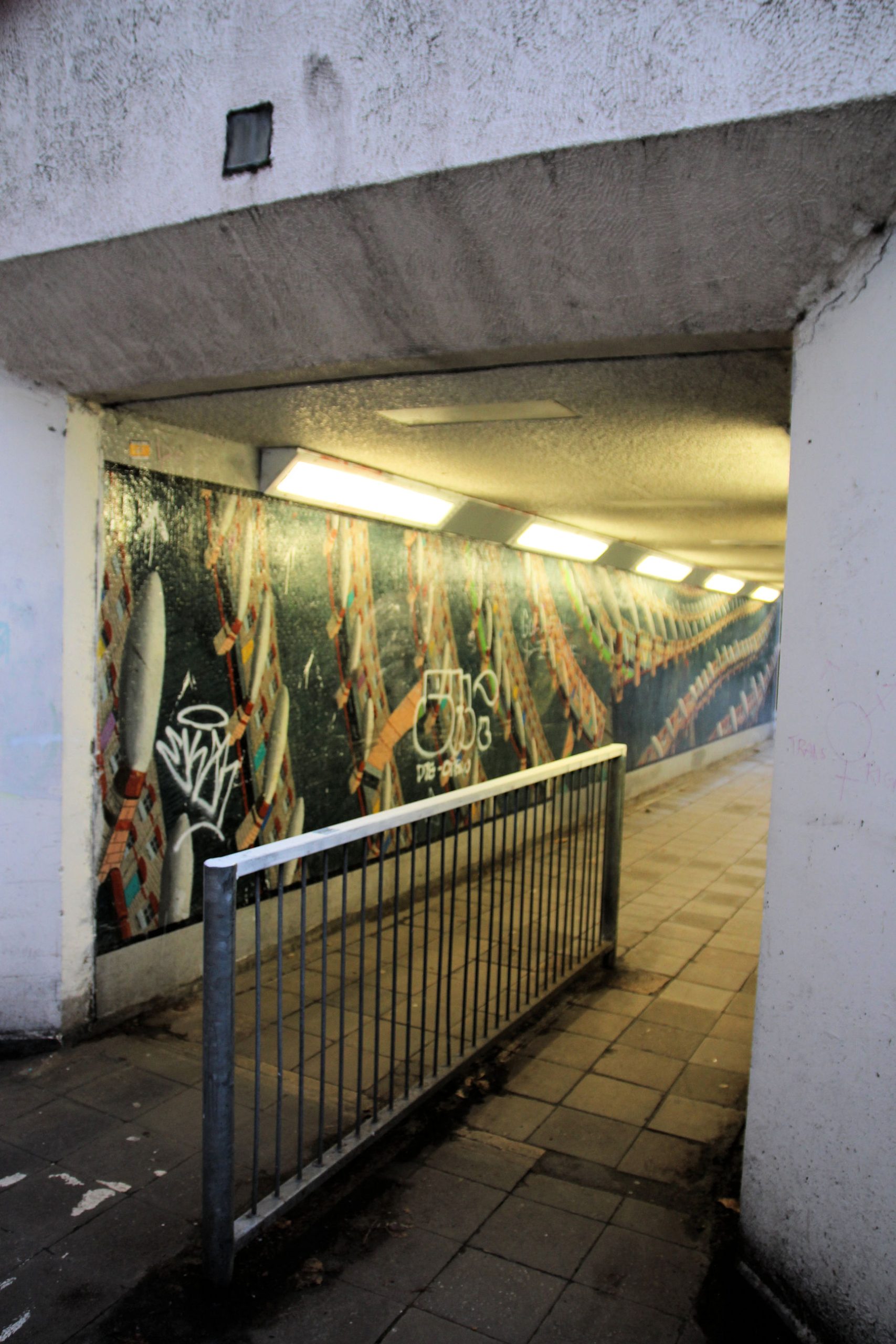
This can be seen more clearly in this close-up view of the entrance. The underpass itself is wide, straight and very plain, with bright LED lighting.

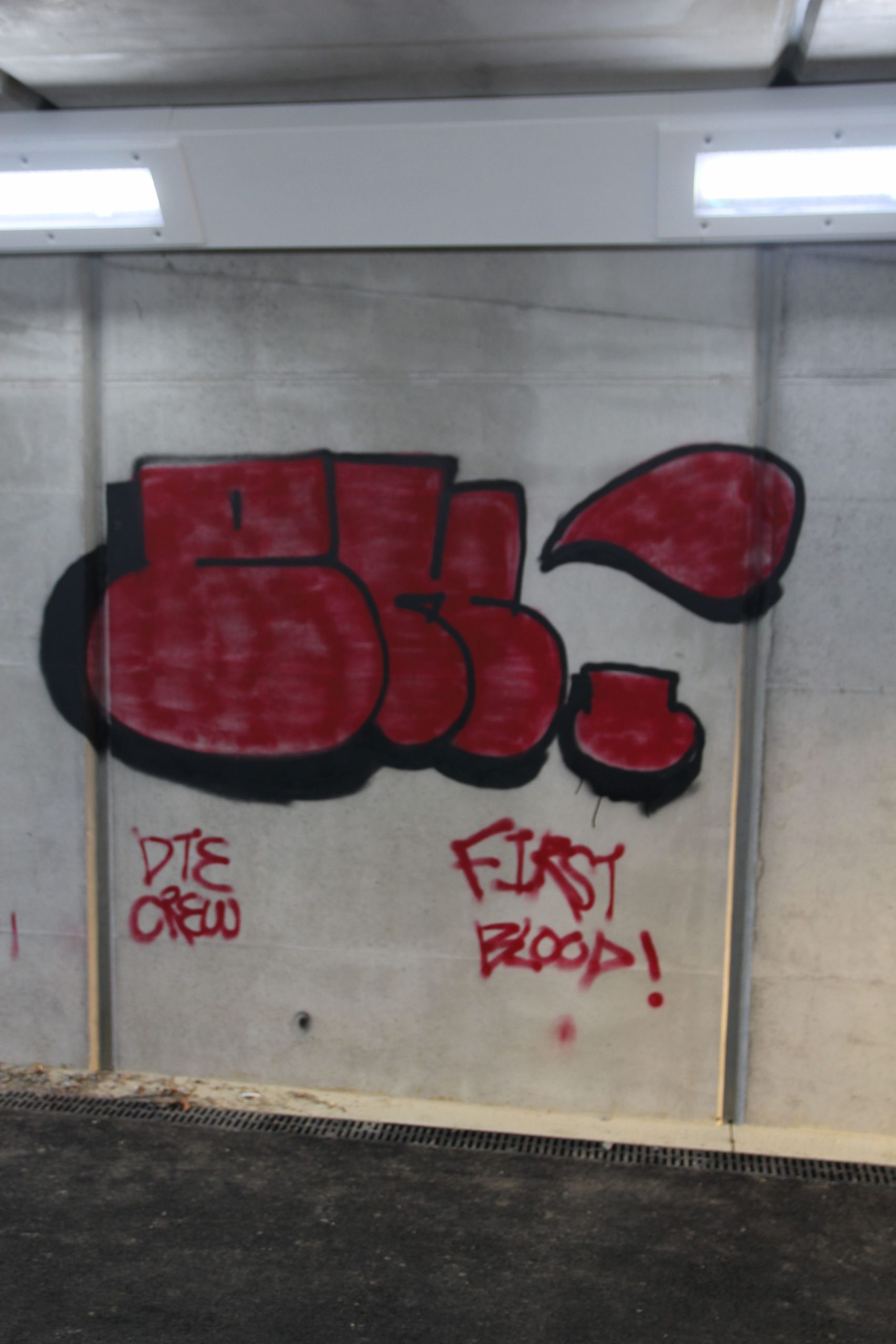
The tarmac is barely set but it’s already gained unsightly graffiti on one side. (Council website graffiti form #2) If they don’t commission proper murals like those in the now-threatened Elizabeth Way underpasses, it’ll all look like this before long.

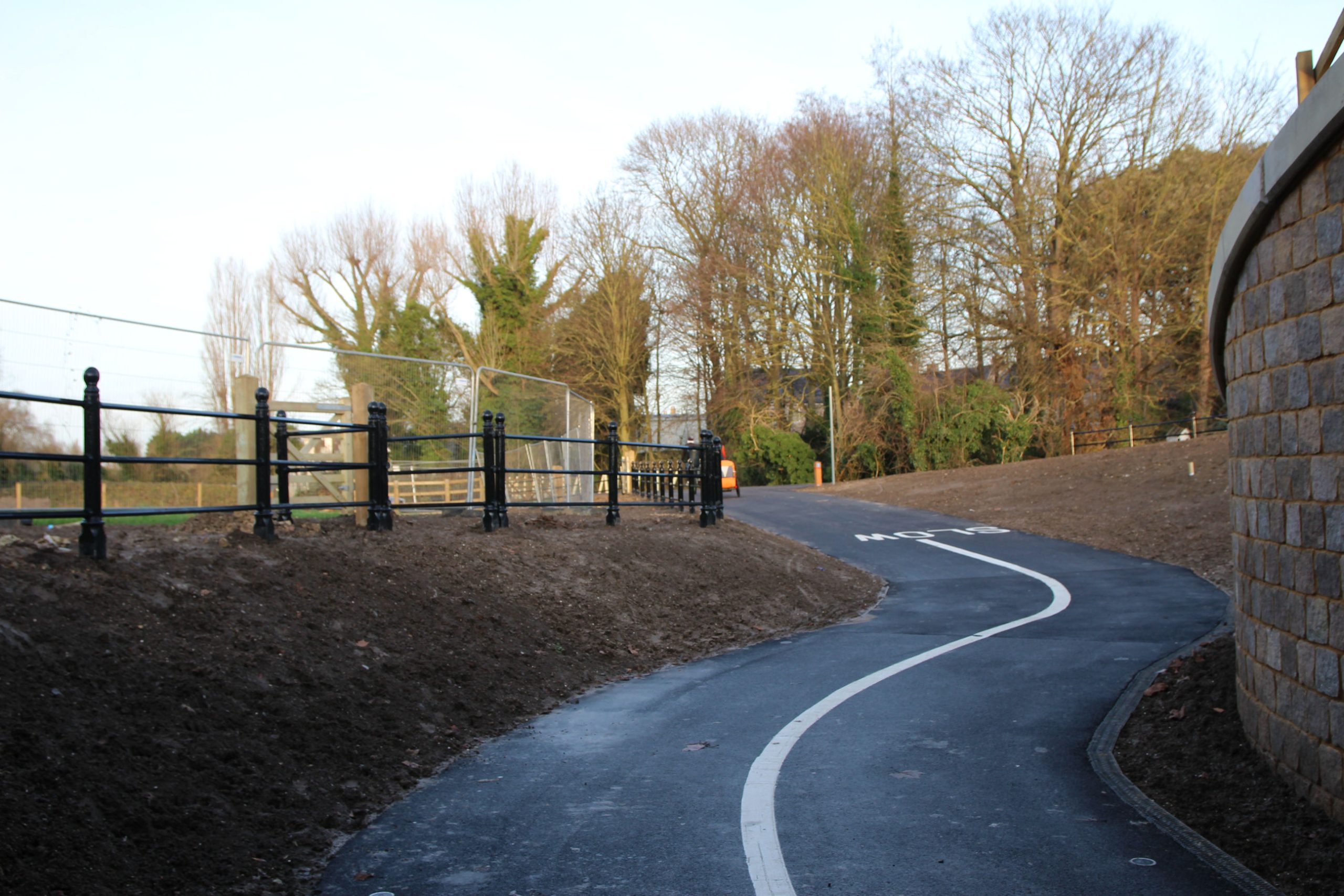
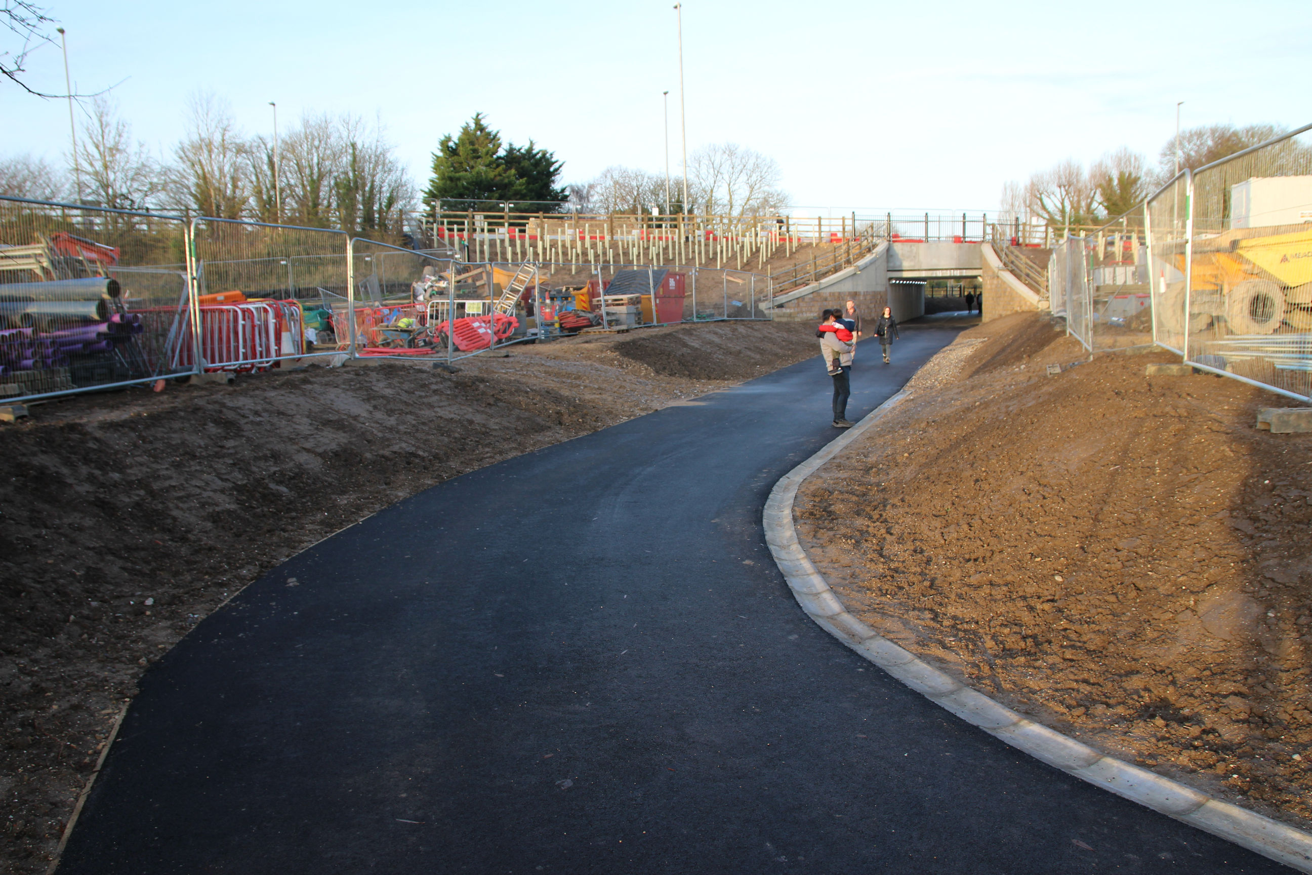
A winding path emerges on the other side.

Ditton Meadows
The path continues along the strip of land behind the Leper Chapel towards Ditton Meadows. The tubes along either side presumably protect something that has been planted to eventually screen it.
Although there’s a new wire fence along here, there are still construction barriers behind it.
Here I can believe I’ve walked 1/2 mile from the Abbey Stadium stand entrances, but I’m still 1 3/4 miles from Cambridge Station, and only 1/4 mile further from Addenbrookes. There’s some strange warp factor at play here.

Beside the above signpost, the right-hand path leads to Fen Ditton and the left-hand path is the Chisholm Trail route to the new river bridge.

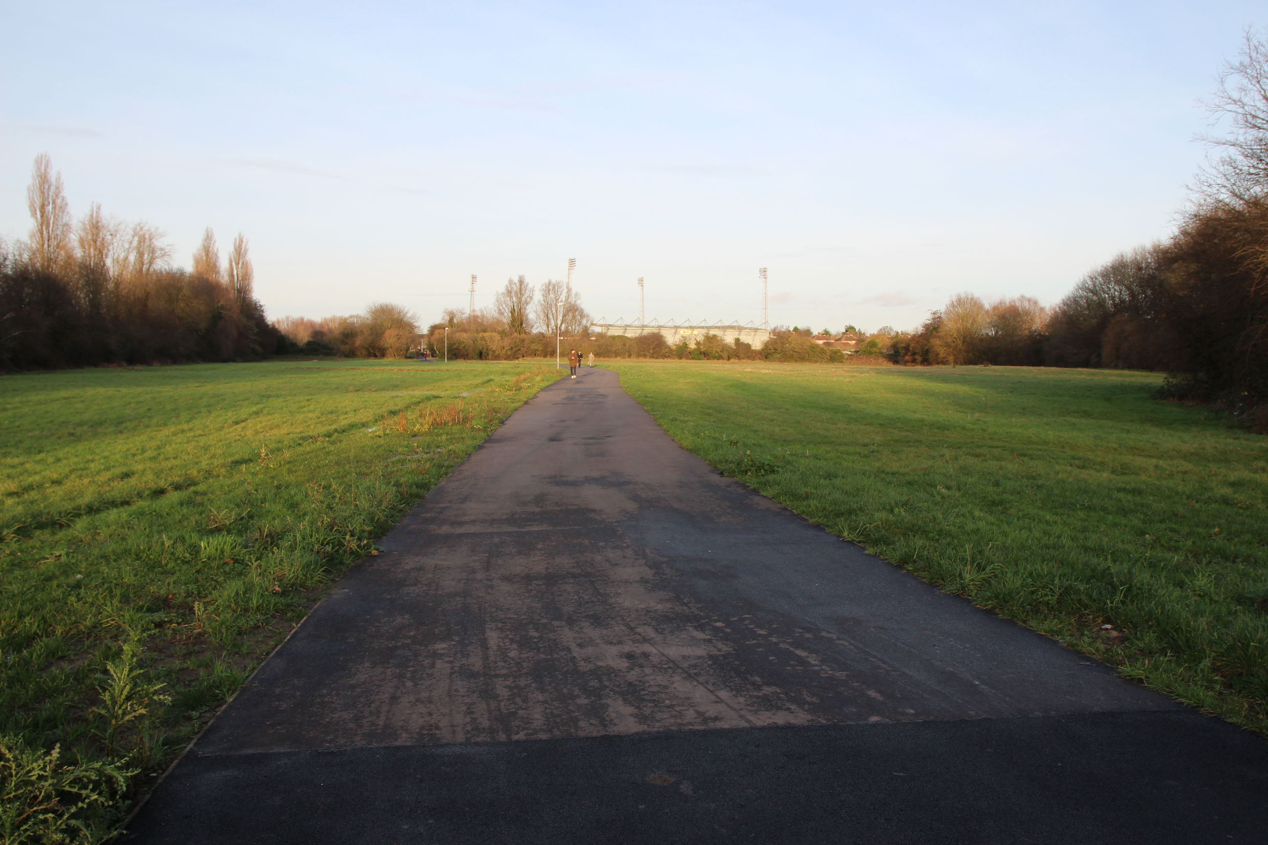
The path winds round the edge of Ditton Meadows towards the railway track. Cambridge North Station and the Novotel beyond it are visible in the distance.
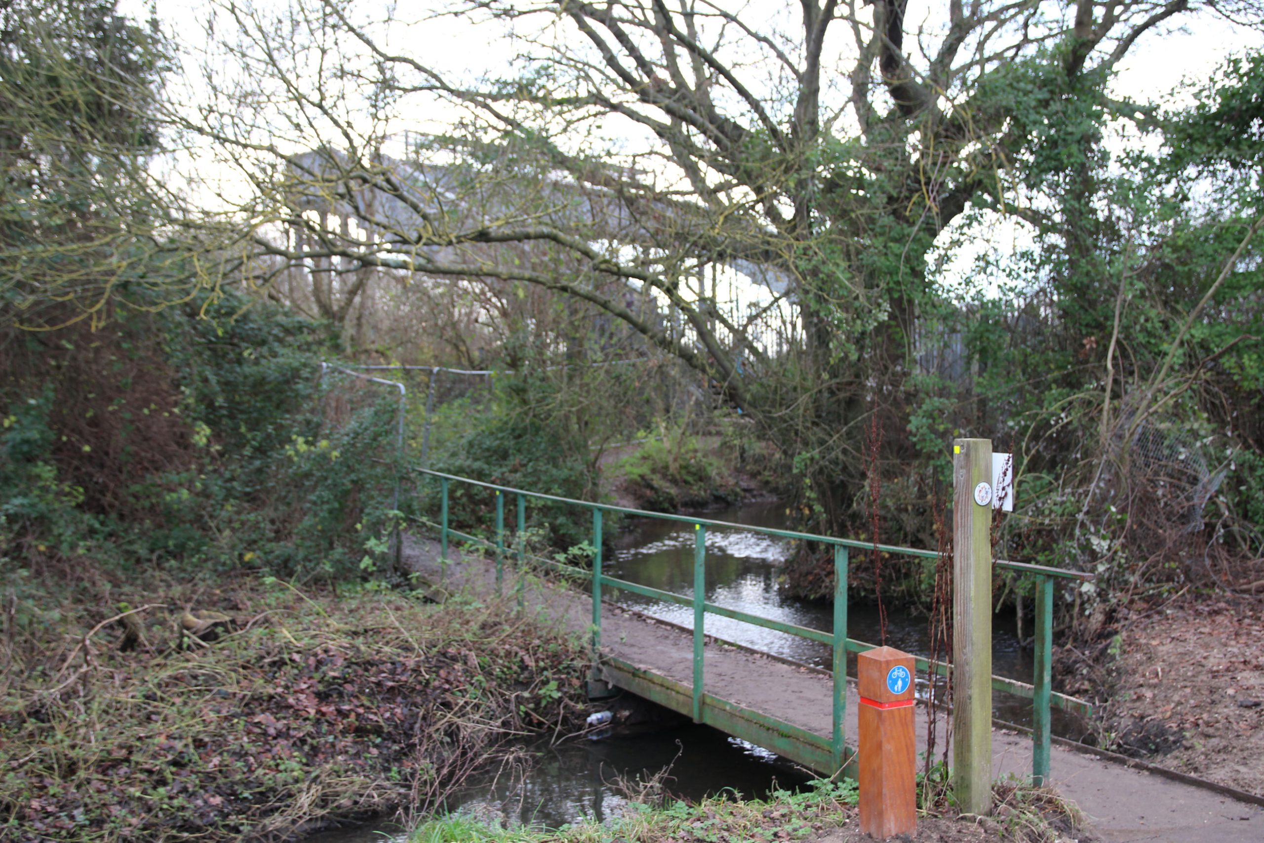
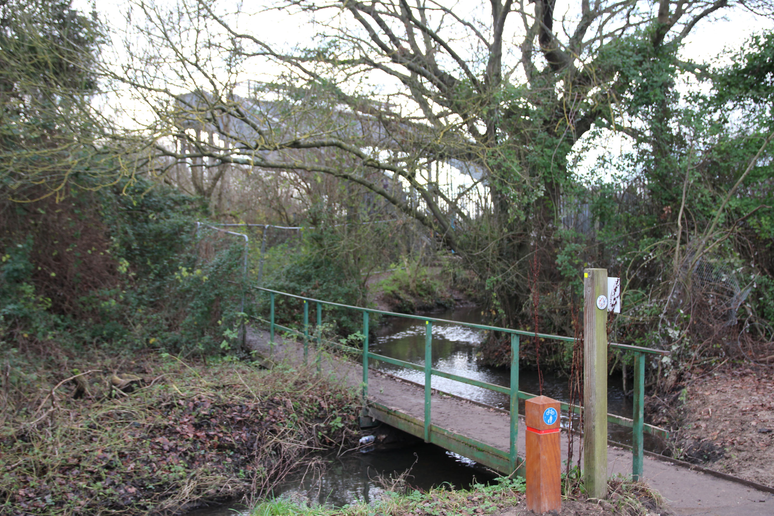
The bridge over Coldham’s Brook leading to the railway footbridge across to Stourbridge Common is unchanged.
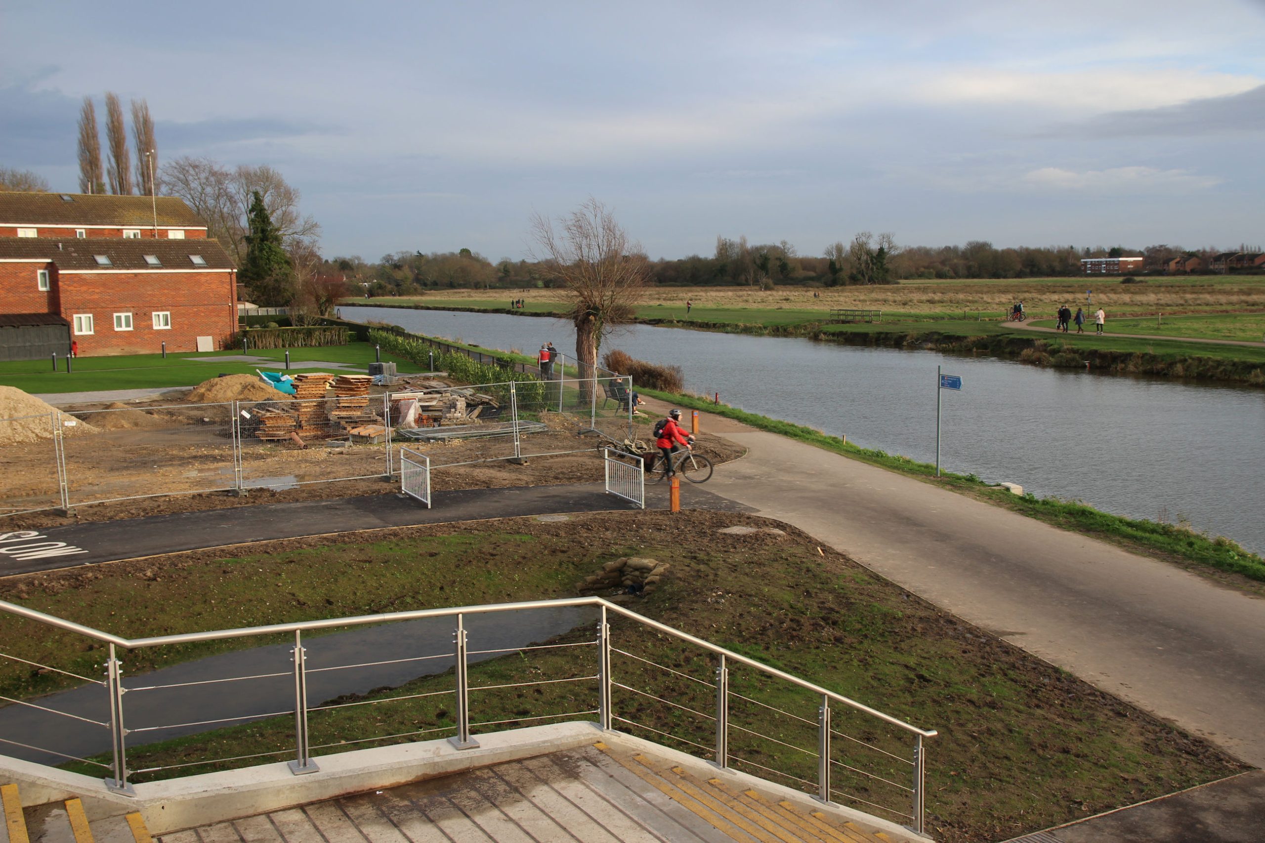
Further on, the path divides, with the left-hand path across the brook leading up to the new bridge over the river, and the right-hand path leading to the towpath that runs below it.
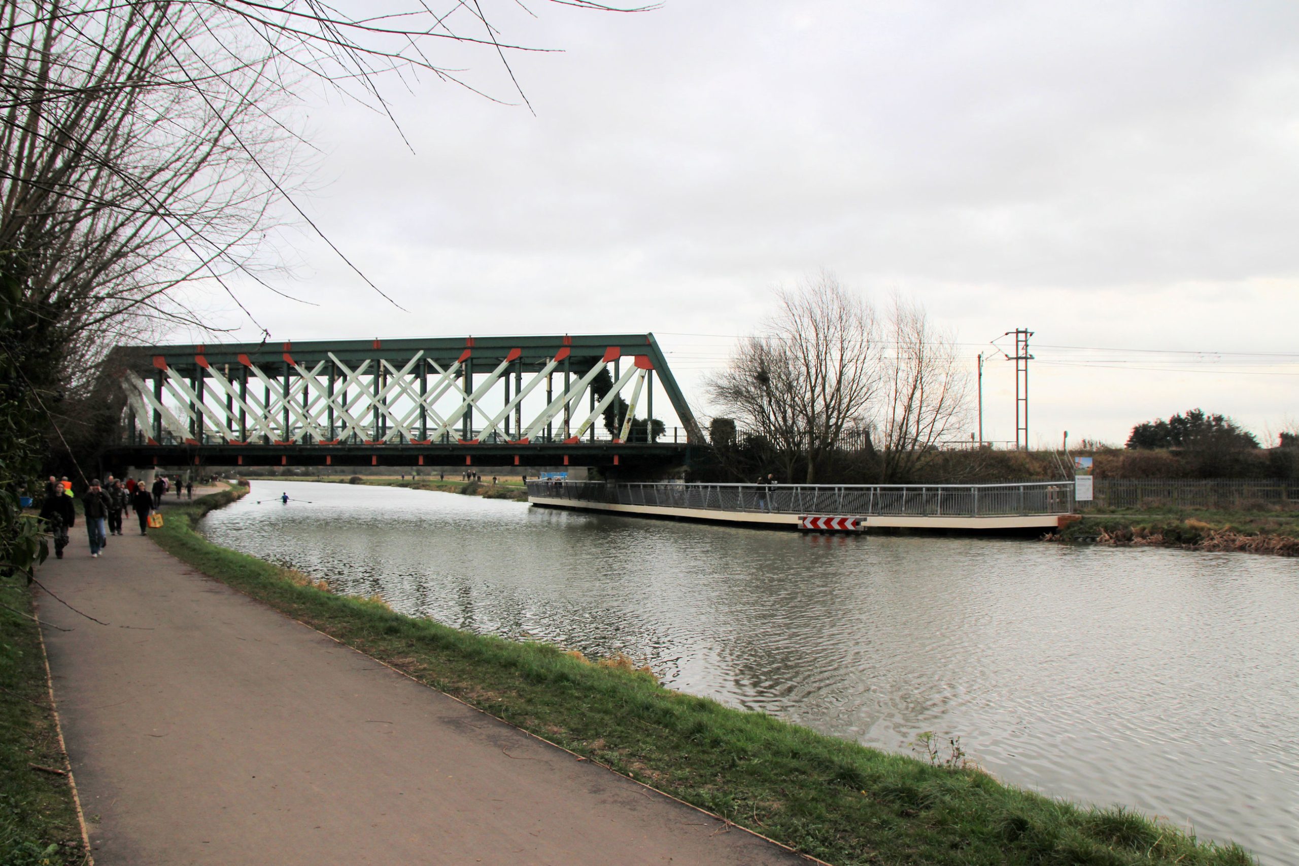
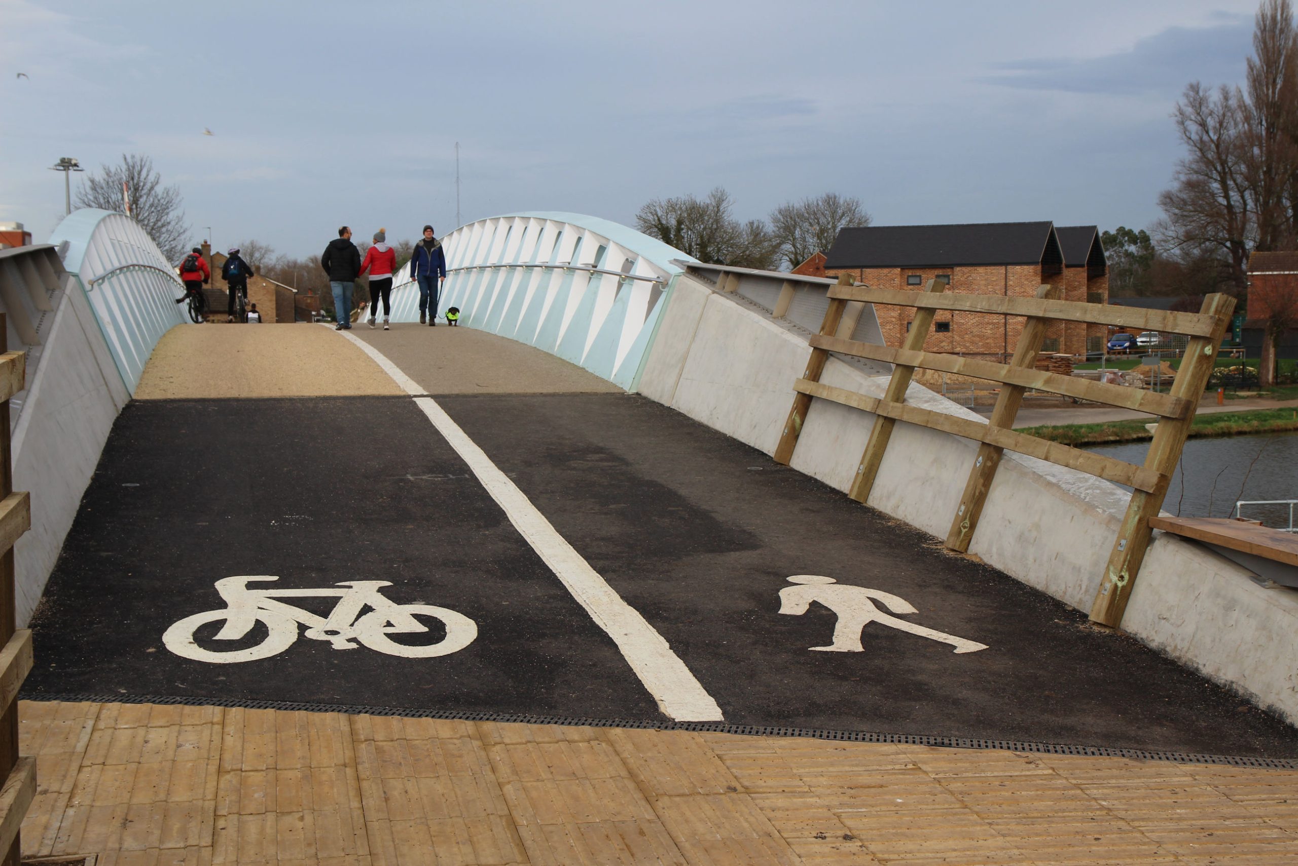
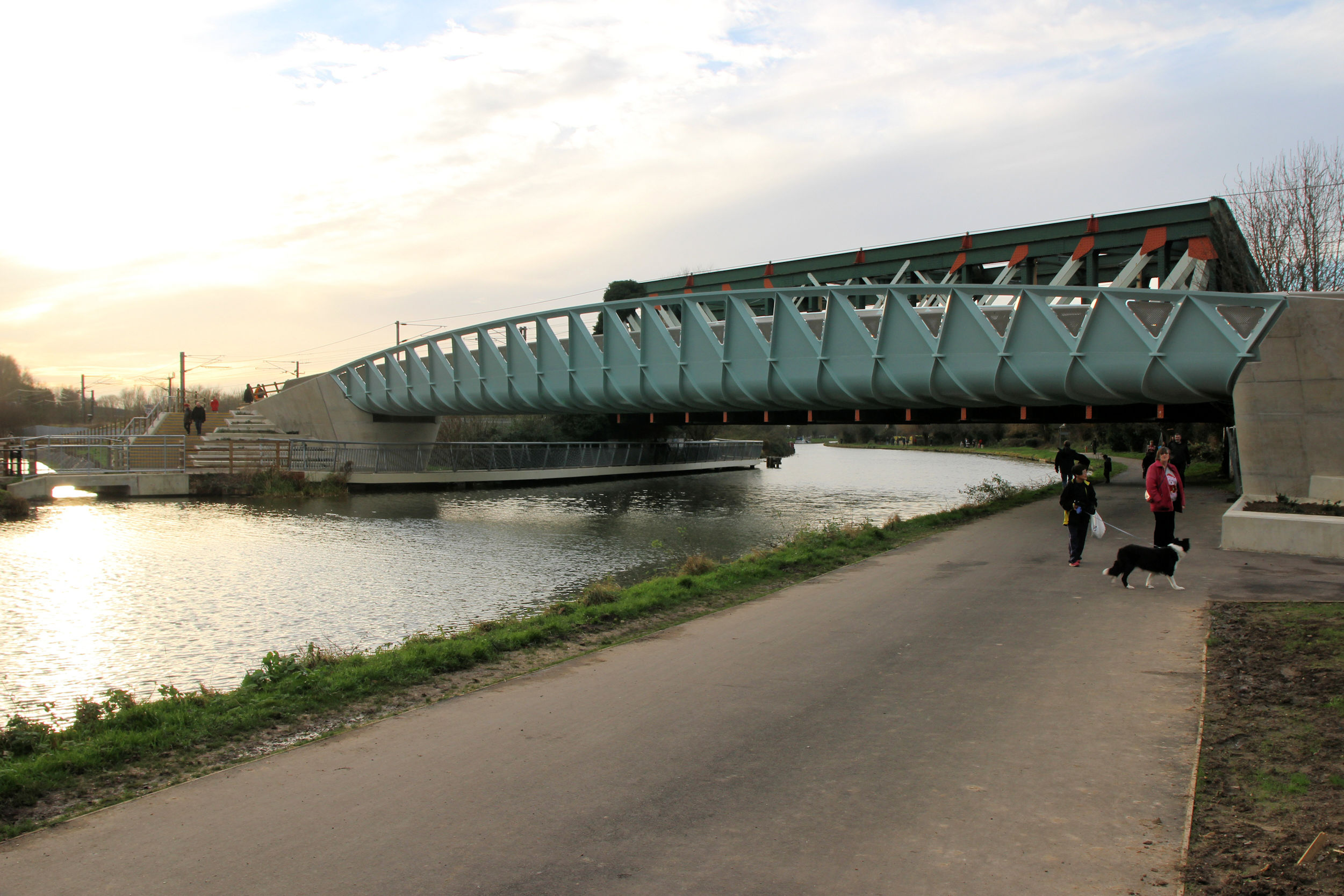
River Bridge
At the entrance to the cycle/footbridge there are steps down to the towpath. Again the mixture of metal railings and wooden fences looks slightly odd, but perhaps it will make more sense once everything is finished.

The cycle lane on this bridge is cream, rather than the red normally used where cycle paths are separated from pedestrian paths. I didn’t look at the signs painted on the ground initially and wandered onto the wrong side. It soon becomes obvious though.
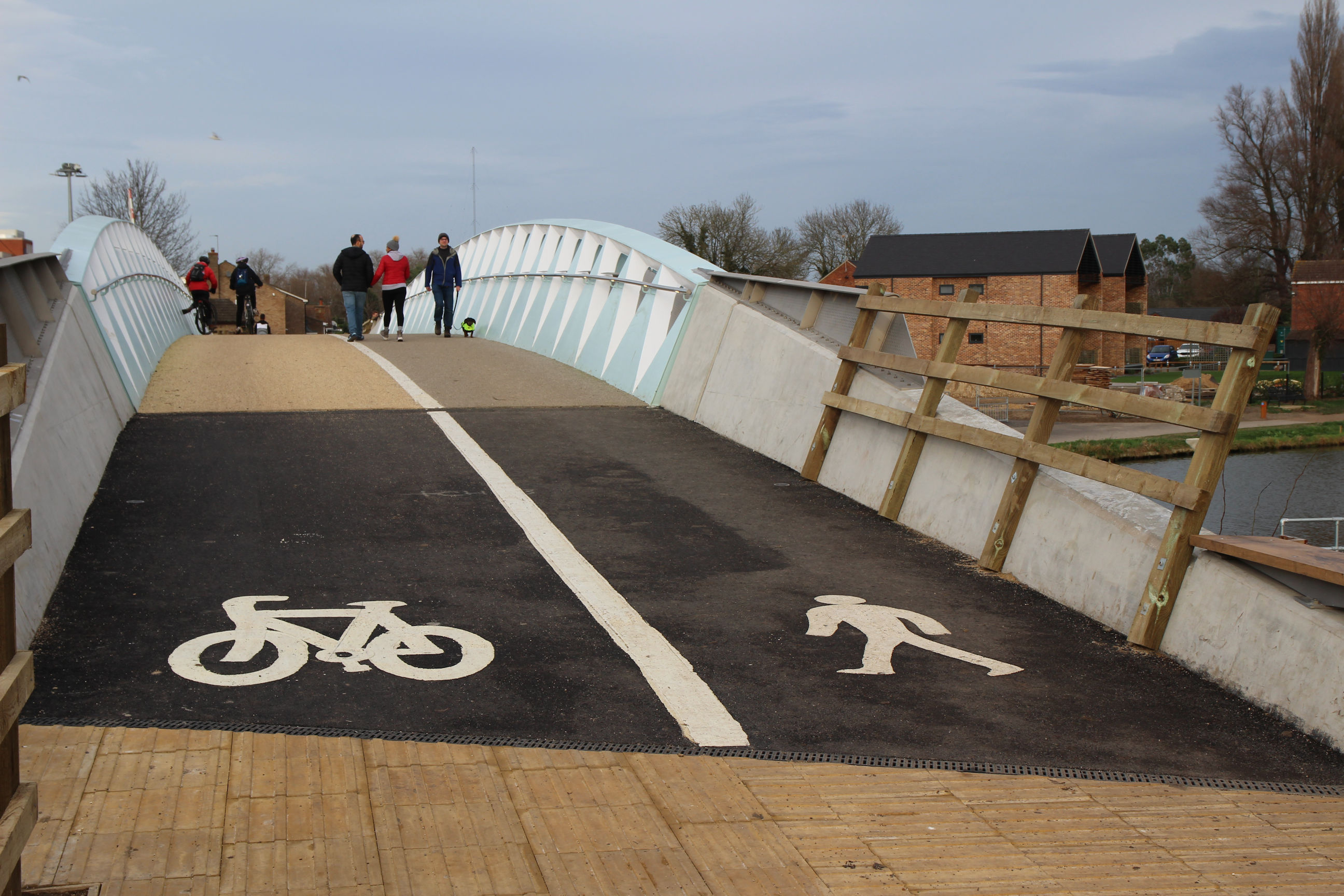
I needed to be on the wrong side to take this picture of the Chesterton side but there were no cyclists about.
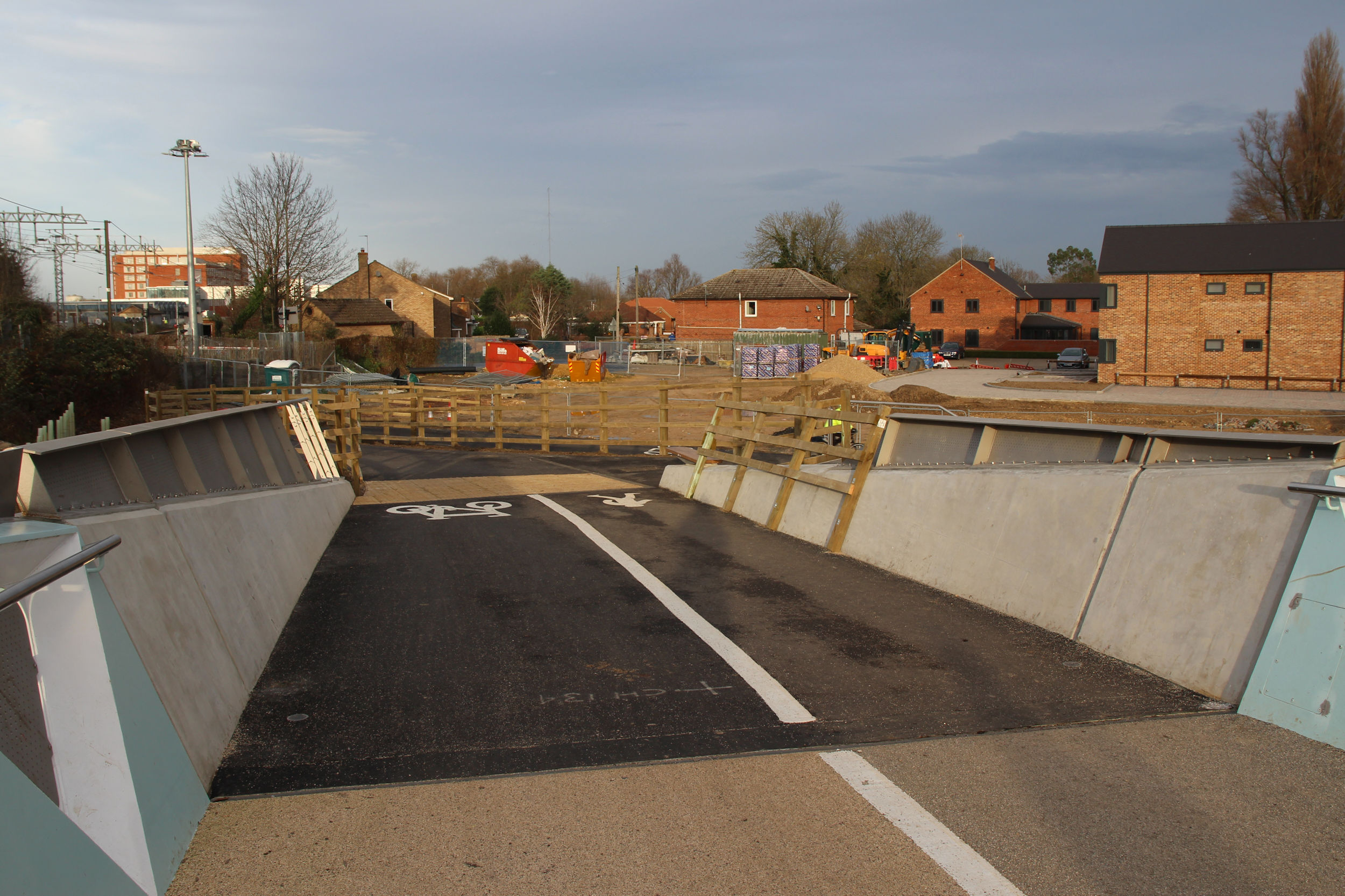
The cycle path down from the bridge on the Chesterton side loops back to the towpath. I thought there might be an exit from here to Fen Road on this side of the level crossing, but the Chisholm Trail map shows that looping round along the towpath under the bridges to the station side is the official route.
As can be seen below, there are also steps down to the towpath on this side of the bridge. The cycle path has staggered exit barriers to prevent anyone hurtling straight out across the towpath.

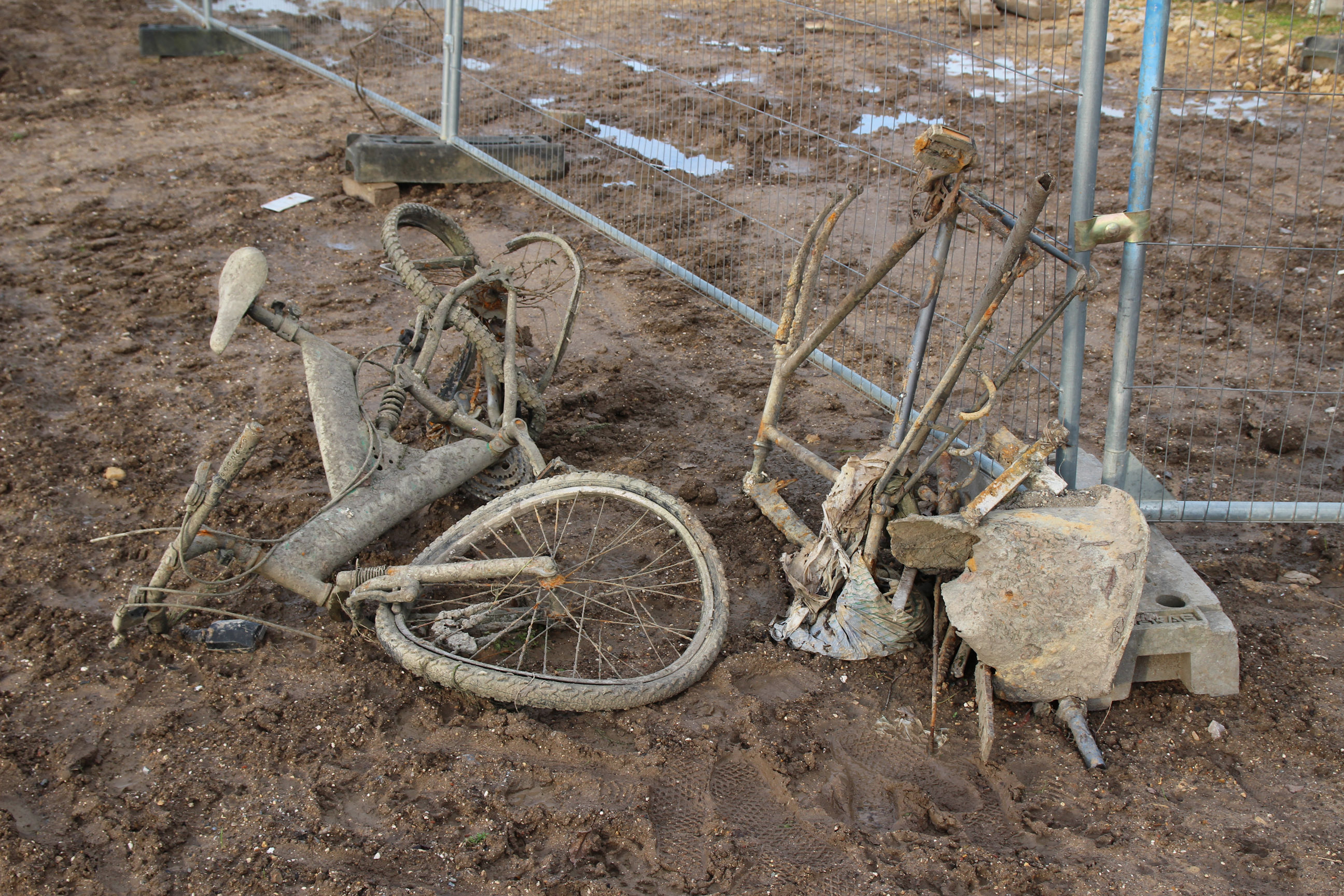
Not sure whether this is meant to be some sort of ironic art installation or just an abandoned bicycle that got mangled during the construction works.
The new foot/cycle bridge as viewed from the towpath, with the railway bridge behind.
Chesterton
The Chisholm Trail continues to Fen Road via the existing footpath from the towpath. The rest of the route to Cambridge North Station is the same as when I walked there on the Large Cows Trail.
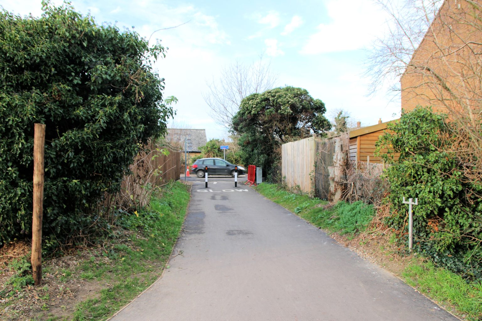
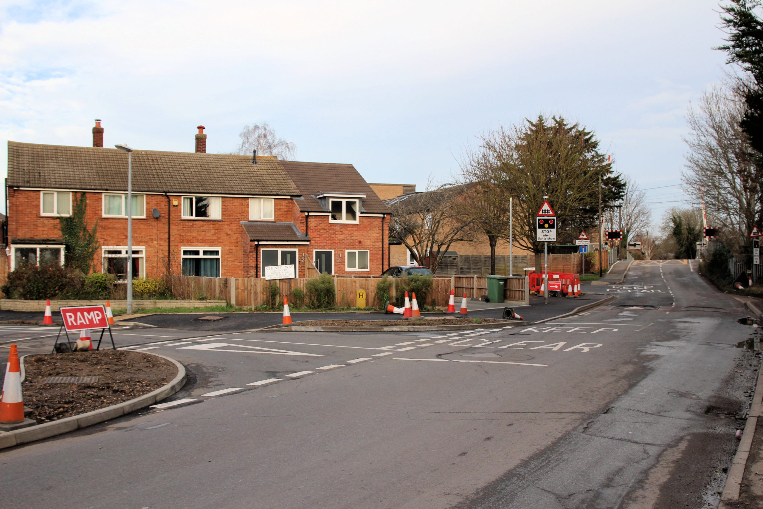
On Fen Road approaching the level crossing, the pavements are being resurfaced.

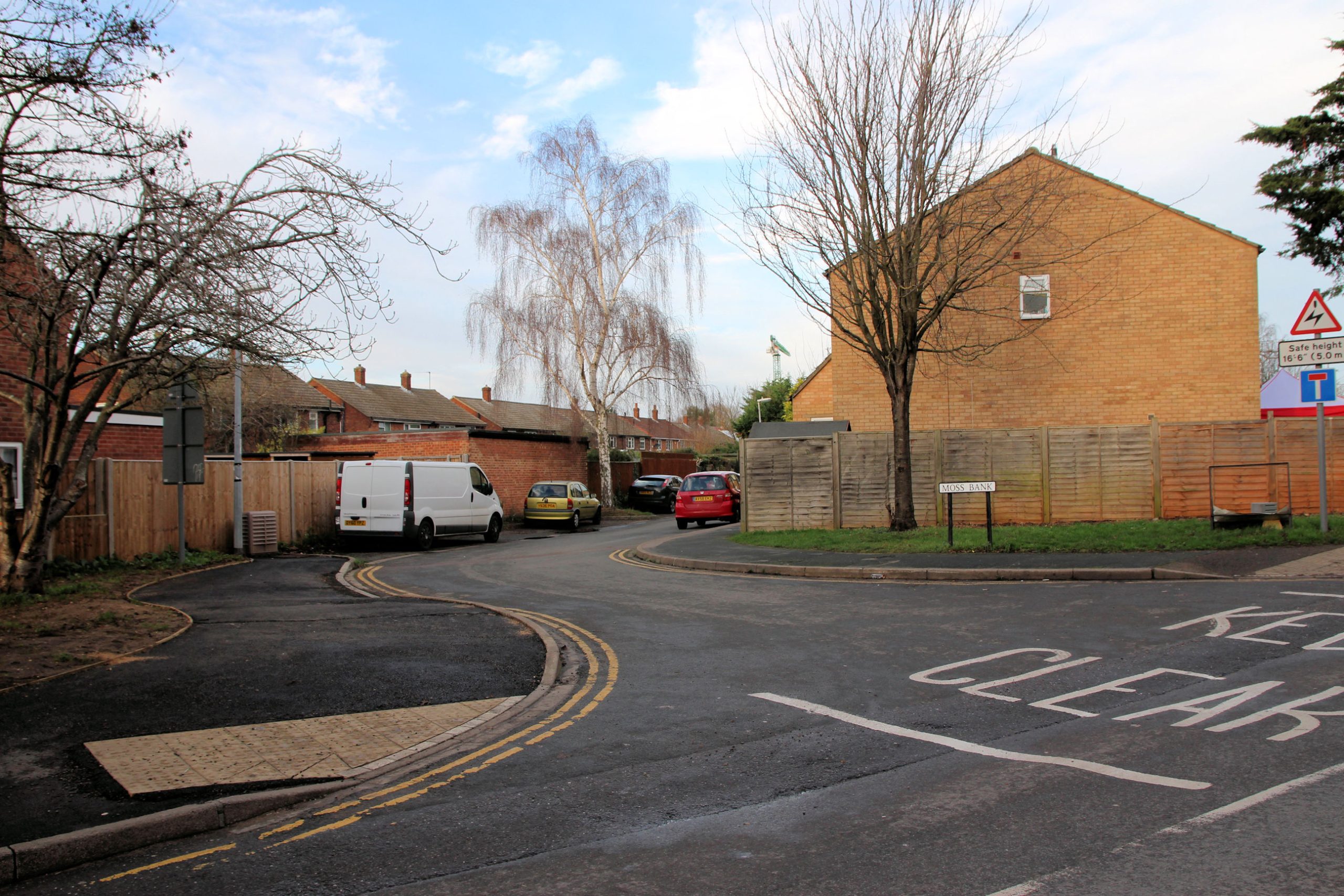
The route continues along Moss Bank.

The final part of the route is the foot/cycle path alongside the railway track.
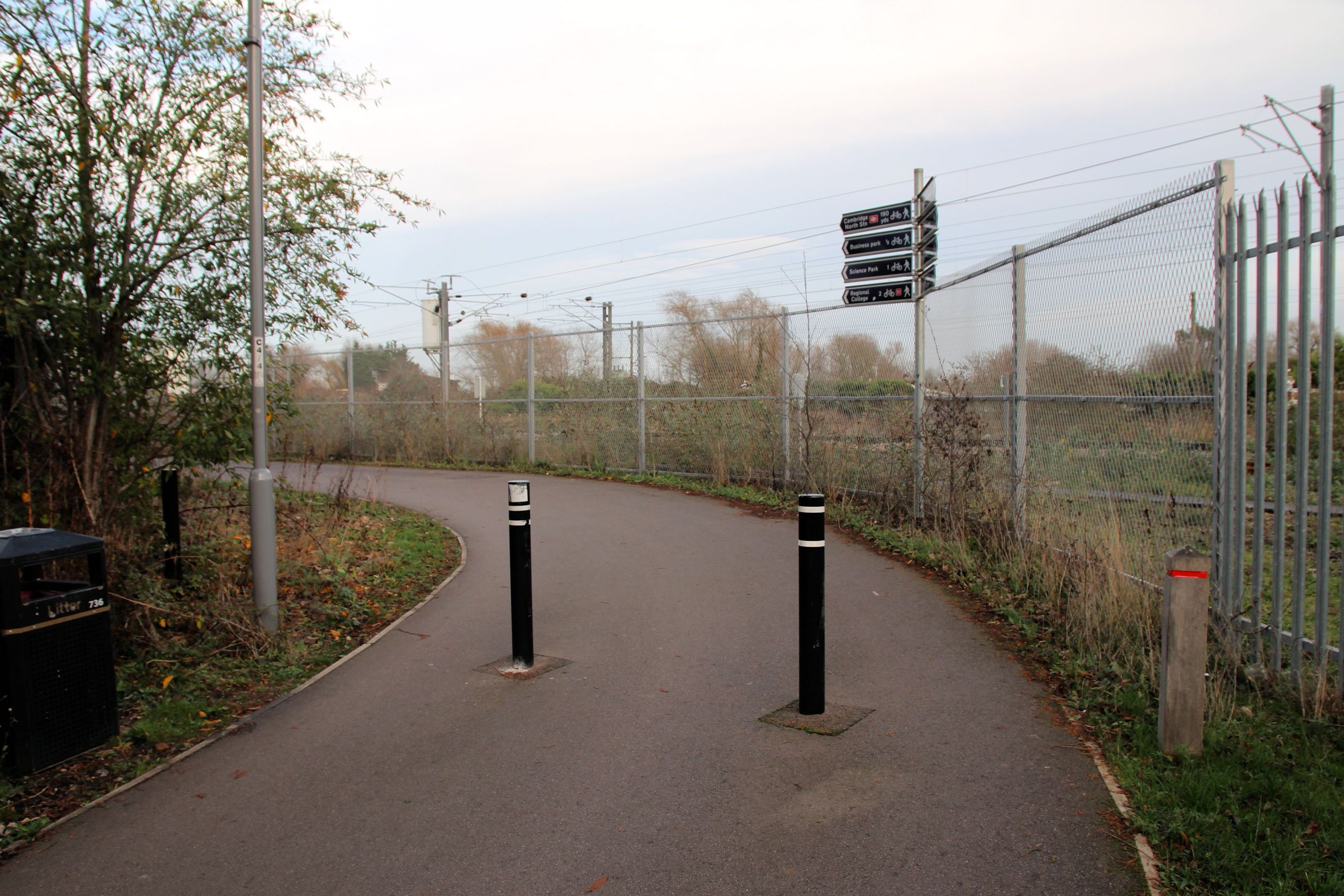
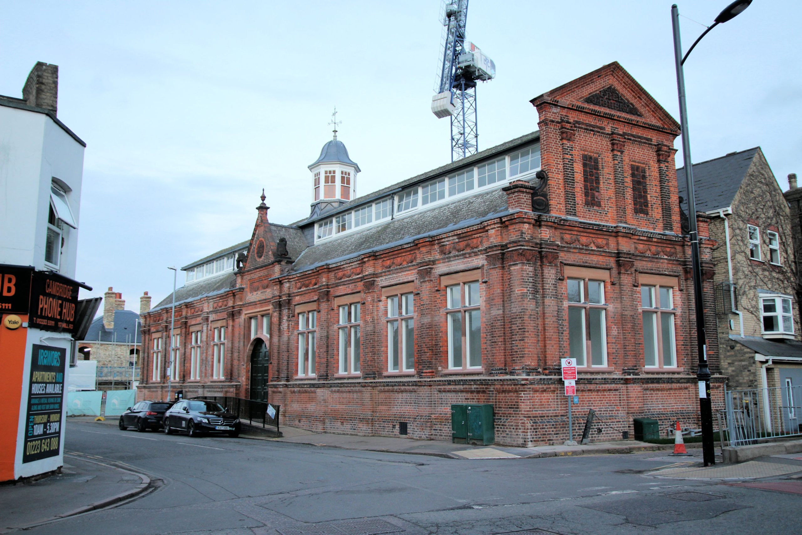
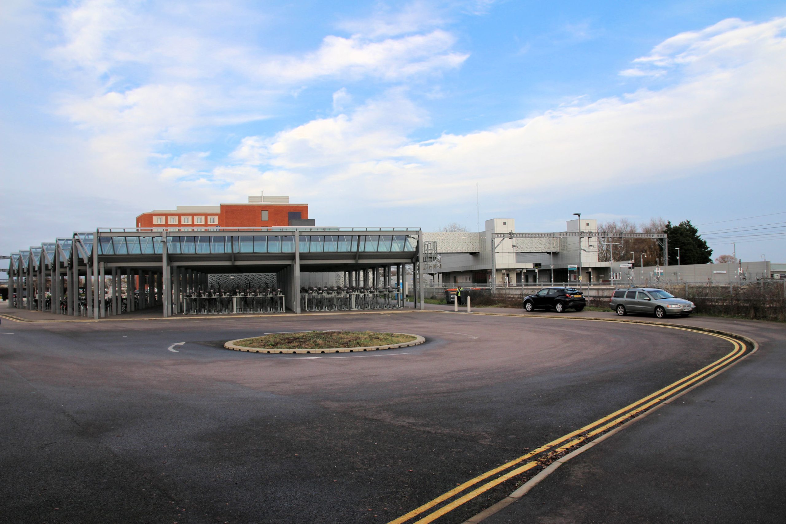
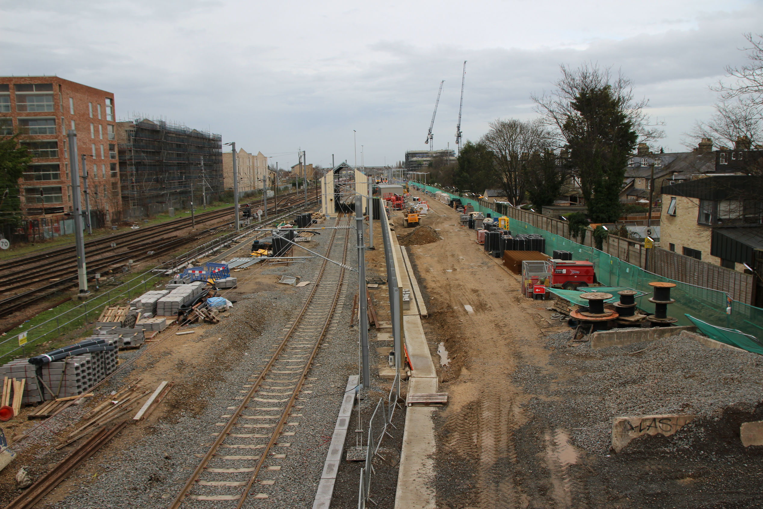
Cambridge North Station
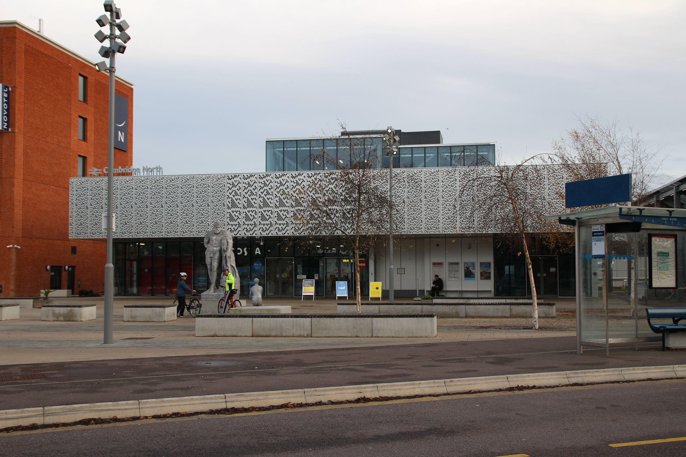
This is the view of Cambridge North Station that greets you when approaching it from the Chisholm Trail route.

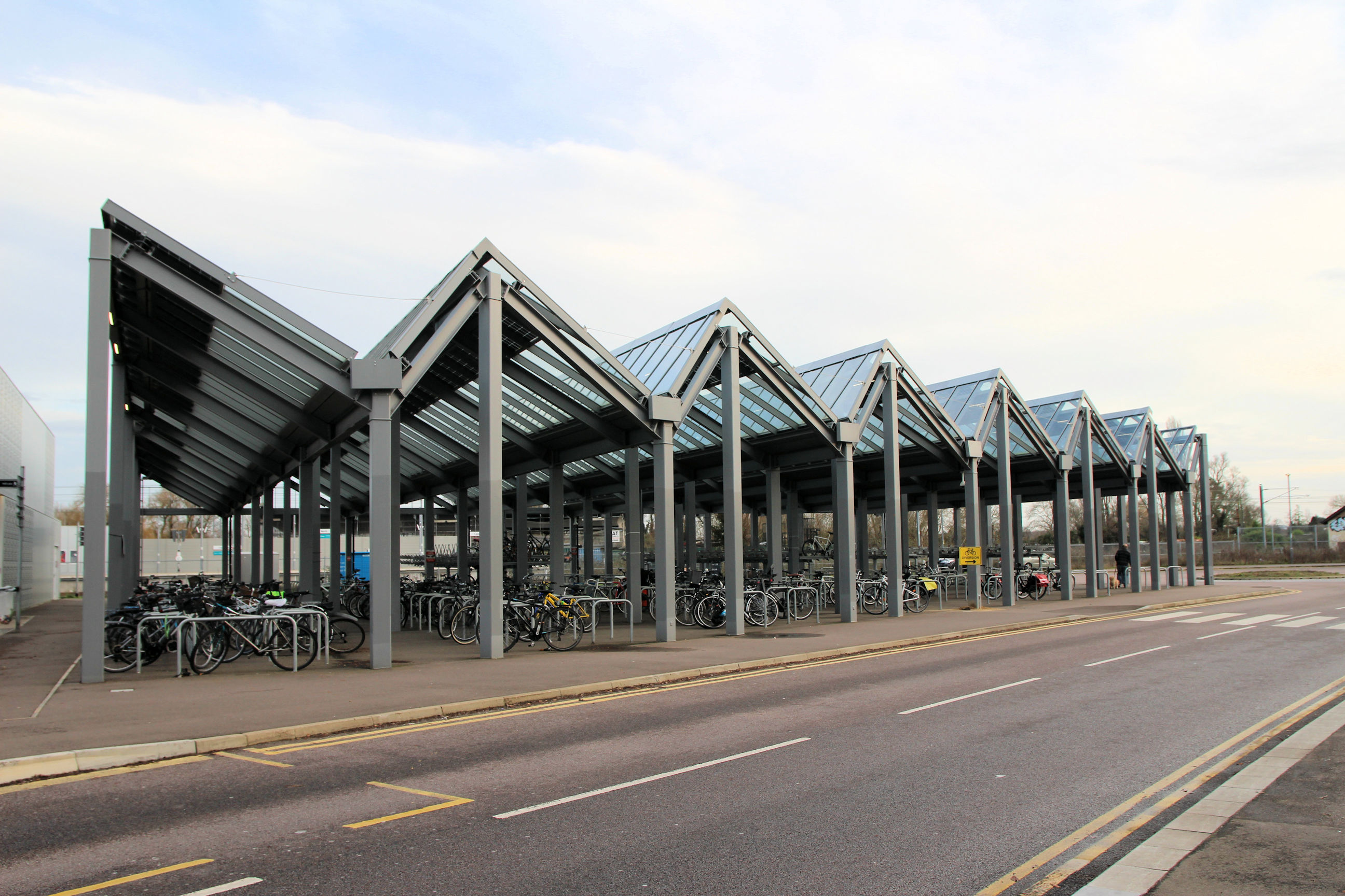
Beside the station is a large undercover cycle park.
The station entrance is decorated in a textured finish. The sculpture is called “Hercules Meets Galatea”. As there are people around it I haven’t stopped to photograph it on this occasion.
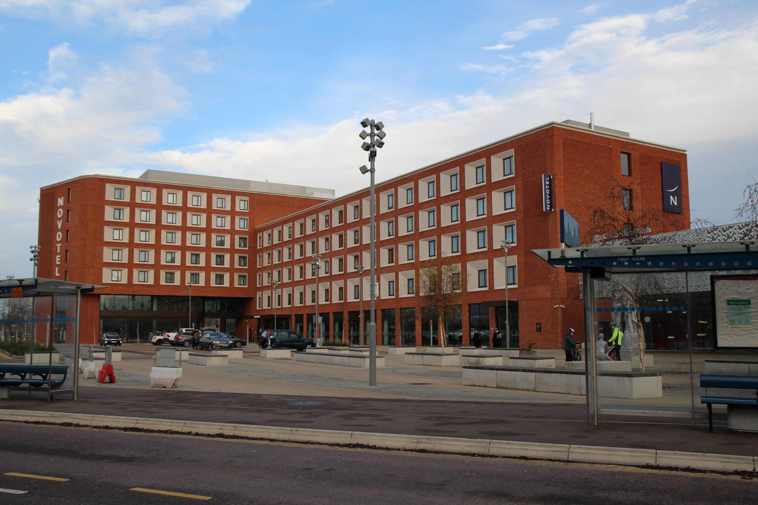
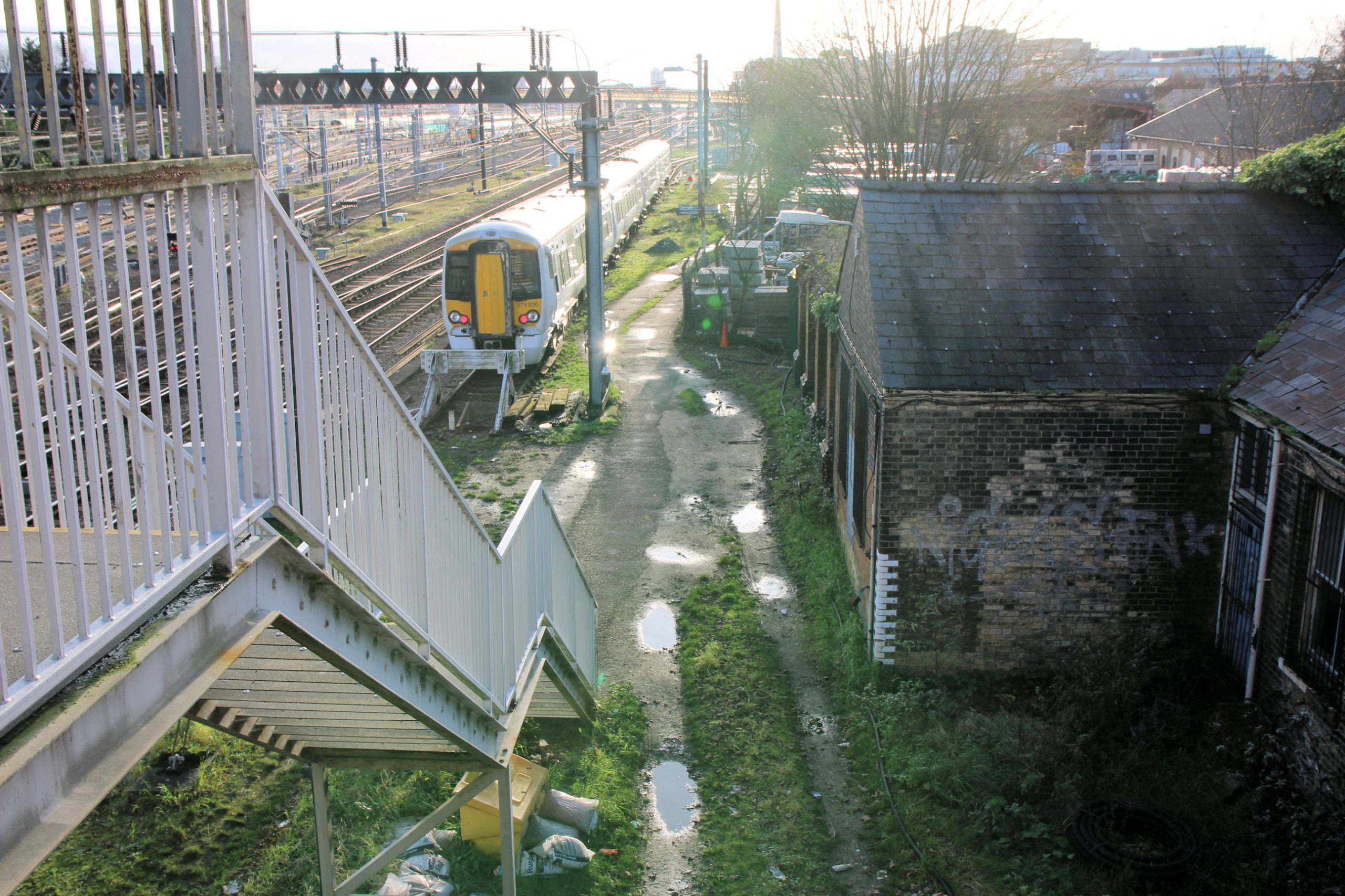
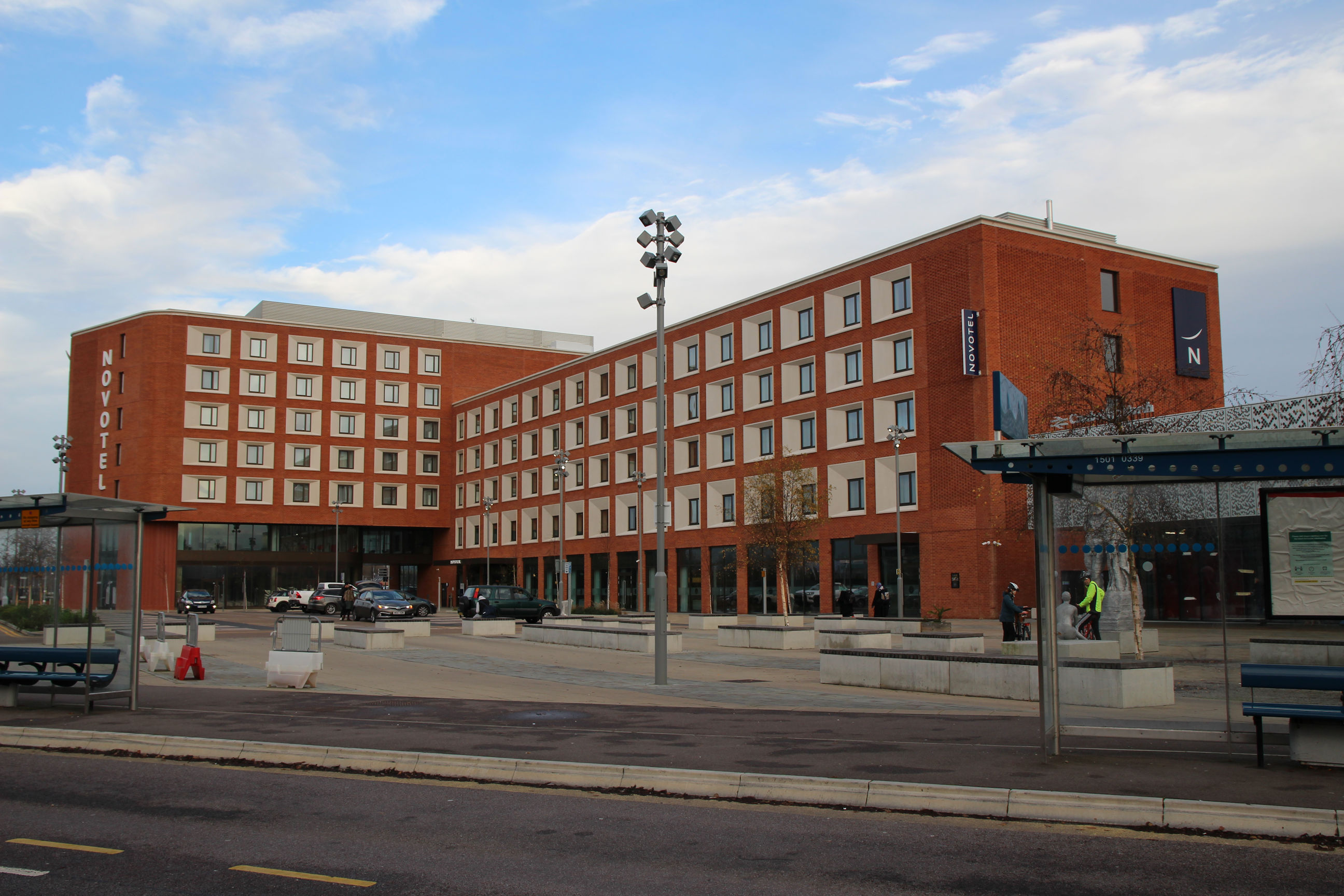
The station itself is dwarfed by the Novotel next to it, which can be seen from the other side of Ditton Meadows.
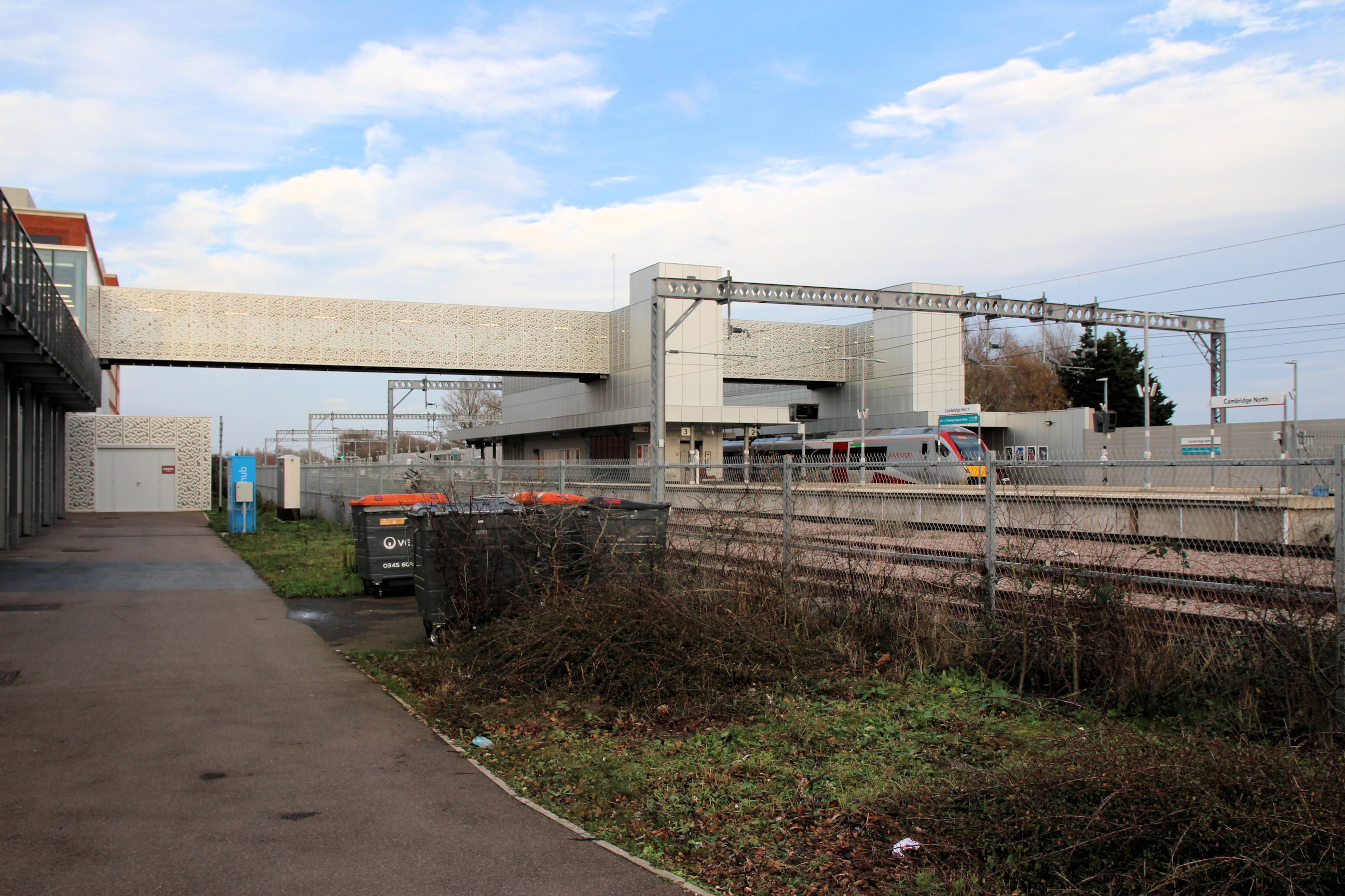
The station platforms are reached by a long footbridge with a similar textured finish to the entrance. Perhaps next time I walk here I’ll get a train home so I can explore the station on the inside, having never had a reason to enter or pass through it.
Return to Newmarket Road Bridge
I’ve only taken a few more photos as I return to Newmarket Road along the same route. I’m now approaching the foot/cycle bridge along the towpath from the railway side.

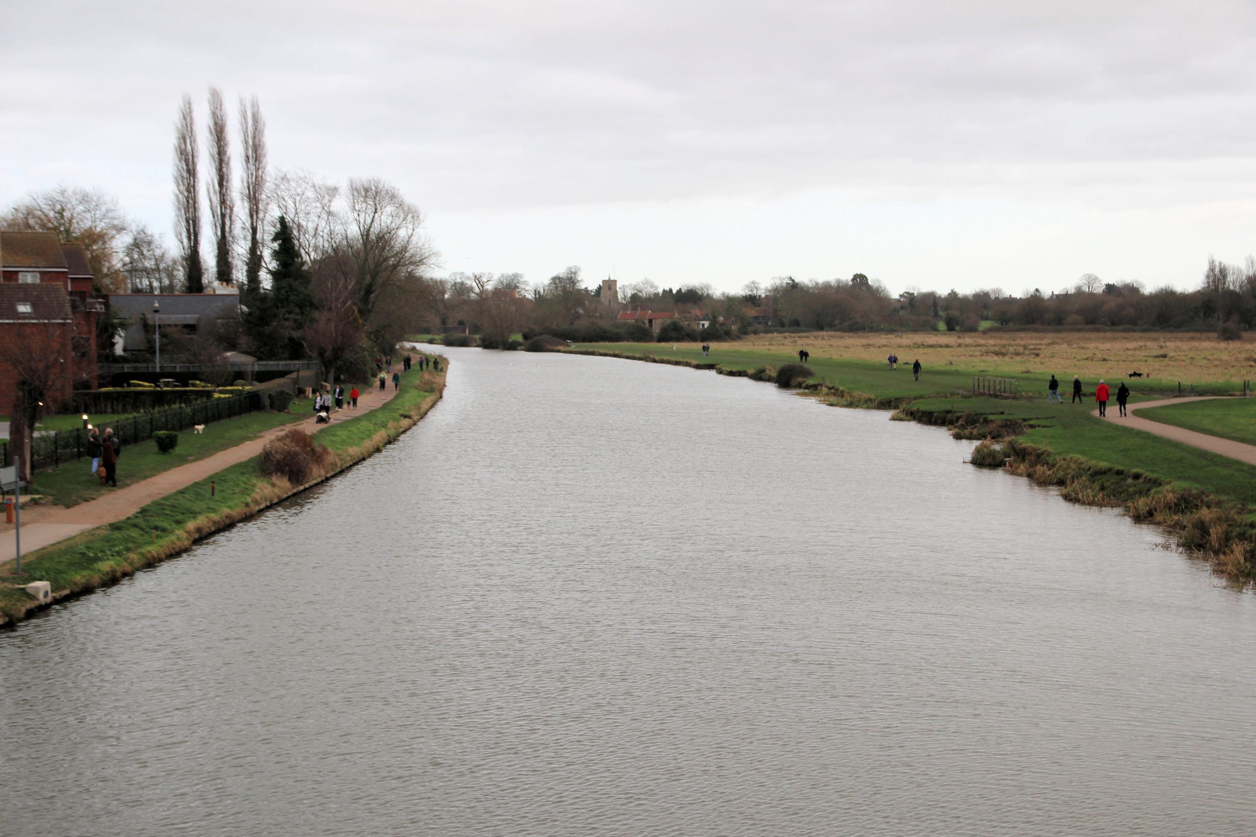
This is the view east along the river from the foot/cycle bridge.
This is the view back across Ditton Meadows from the bridge approach.
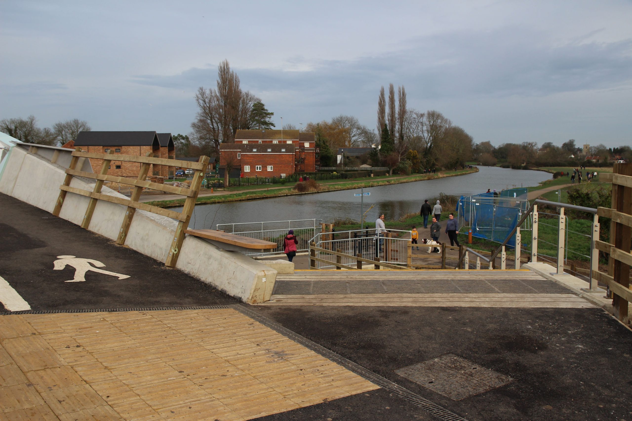
Here the left-hand path goes up onto Newmarket Road Bridge and the right-hand path goes down through the underpass.
The blockwork on this side of the underpass is complete and its west wall is (for now) free from graffiti.
I’m now on Newmarket Road Bridge looking down towards the underpass approach, with the Leper Chapel beyond.
On the Abbey side of the bridge there are still red and white temporary barriers in place.

Riverside to Coldham’s Lane
At this point, rather than following the Chisholm Trail route back across Coldham’s Common to Coldham’s Lane, I take a detour via Riverside before rejoining what will be part of Phase 2 of the Chisholm Trail at the Beehive Centre.
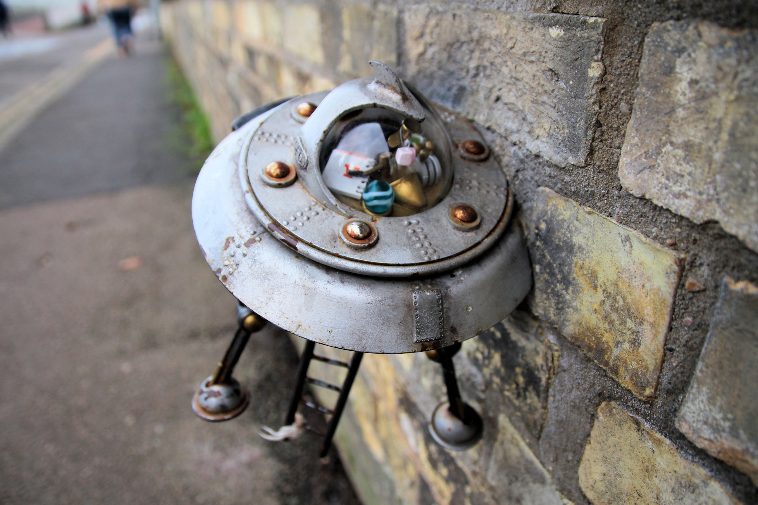
I first head down Stanley Road and along Riverside past the Museum of Technology. Despite the best efforts of MooMoo-o-Tron III, the whereabouts of the Supreme Leader remains a mystery.
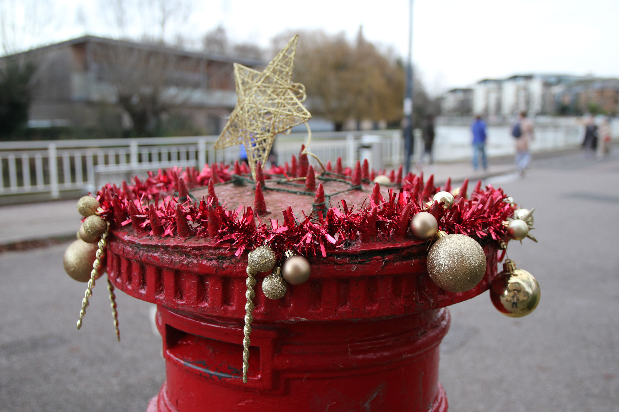
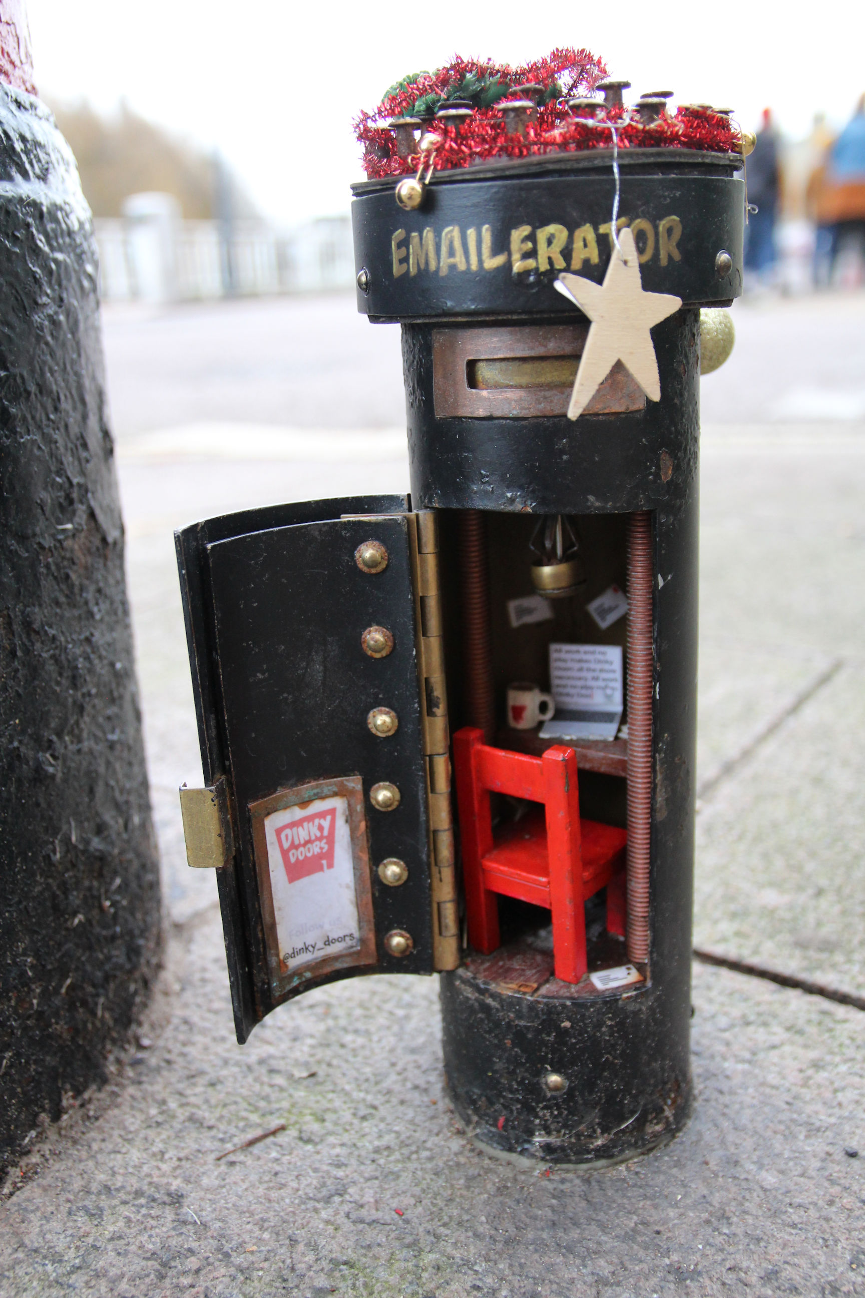
At the bottom of Priory Road, the spiked postbox and its Dinky Emailerator sibling have been decorated for Christmas.
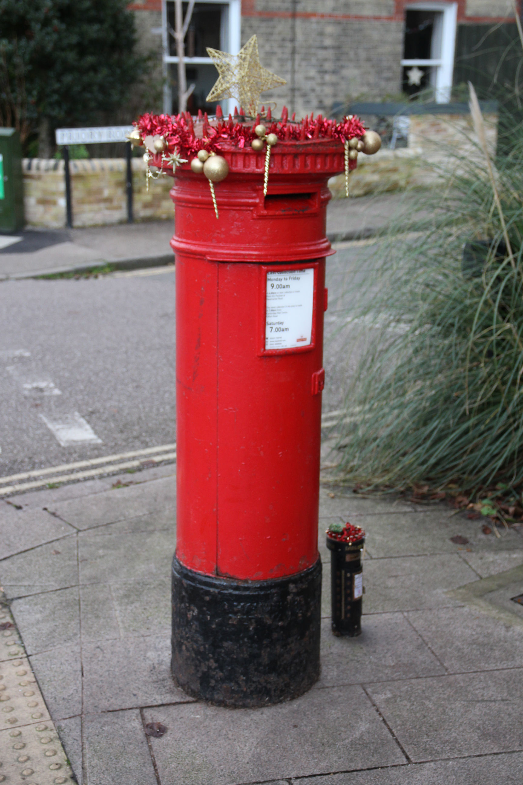
The postbox top features red tinsel, gold baubles and a gold star.
The Emailerator has dinky decorations including a green wreath.

The office inside isn’t decorated though – not that there’s much room.
I return to Newmarket Road via Priory Road and Beche Road and cross at the roundabout. All the graffiti was cleaned off the murals here in the summer, although I don’t know whether my reporting it on the council website played any part, but more has appeared on the Terraced Houses mural. Grrrr! So this is Council graffiti web form #3.

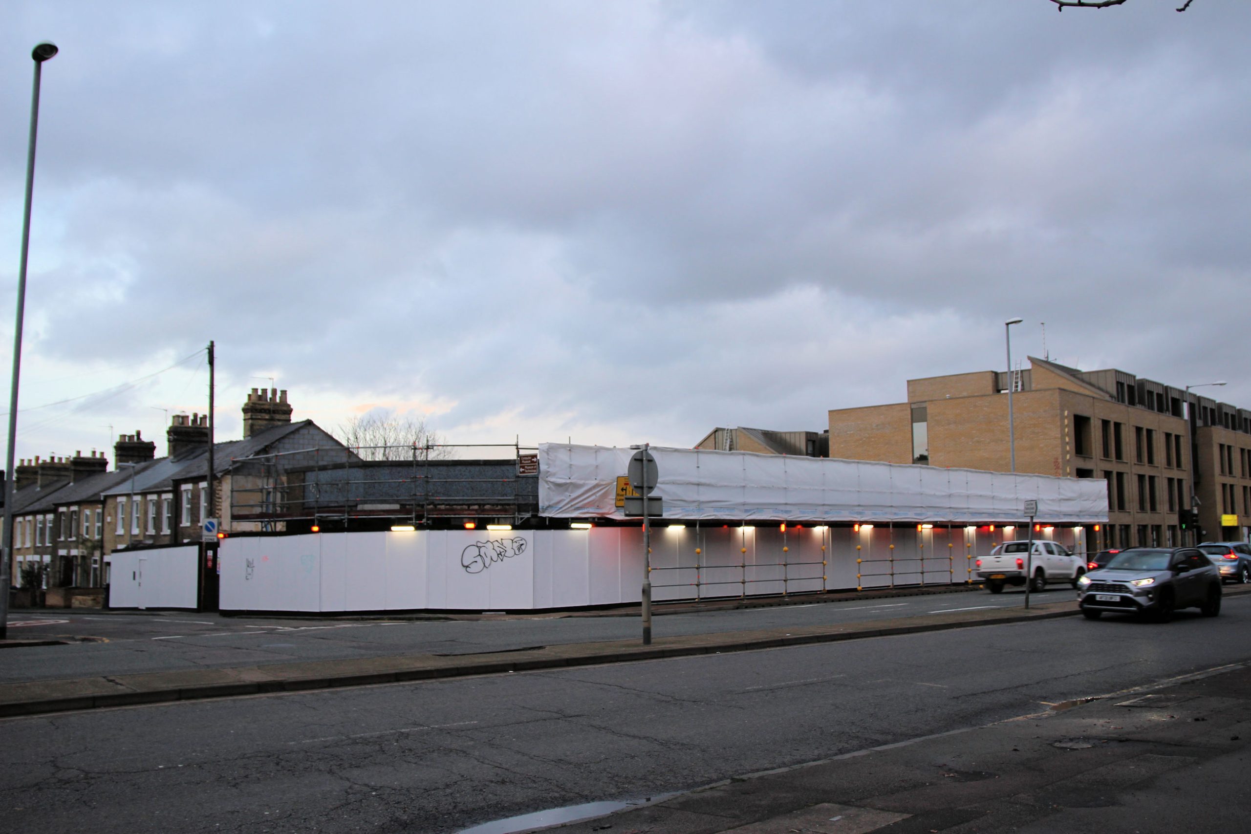
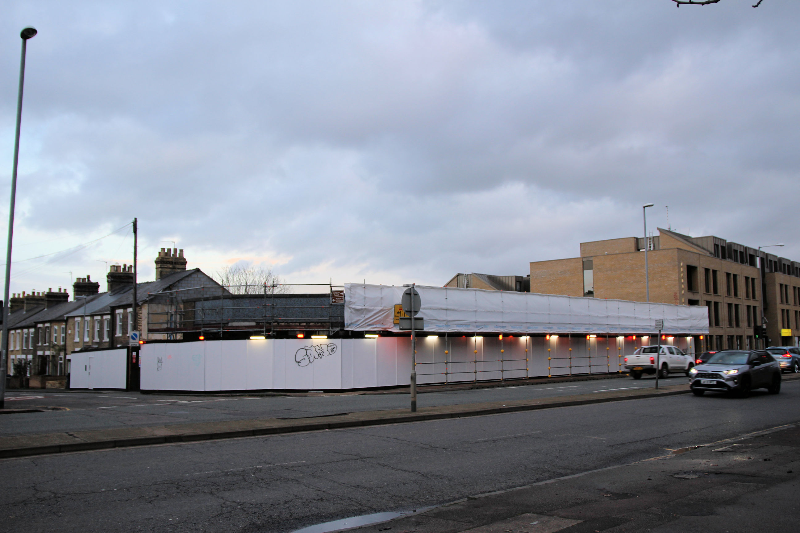
Walking back along Newmarket Road towards Coldham’s Lane, the former Cooper’s furniture store is the latest thing to be redeveloped.
Beehive Centre to Hooper Street
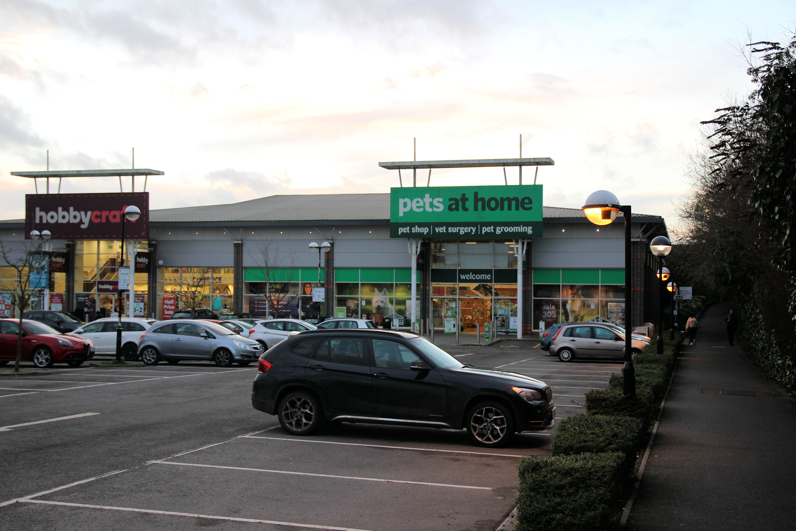
I’m now back on what will be part of Phase 2 of the Chisholm Trail, taking the path around the Beehive Centre. It’s also possible to walk round the other side in front of the stores and exit onto Sleaford Street, but this path is the official route.
The path leads from the Beehive Centre beside “Pets at Home” to York Street.
The route continues south along York Street and Ainsworth Street.
No walking trail around Cambridge is complete without some quirky Victorian-style new-build houses. Apart from having no chimneys, these in York Street by the Beehive path (to their left) are pretty conventional.

Having walked down Ainsworth Street to Hooper Street, I find this block built on a former industrial site. Notable features of these are the modern front doors and windows with fashionable slate-grey frames, narrow chimneys between each house, end windows and small upstairs windows below wider lintels. Personally I’d have preferred panelled front doors, white sash windows and conventionally positioned chimneys, but I guess some buyers prefer them with a modern twist.
The Chisholm Trail path from Mill Road Bridge will presumably emerge here from beside the railway which can be seen at the far left.
On Hooper Street to the right of the above terrace is a back entrance to the Ironworks development.
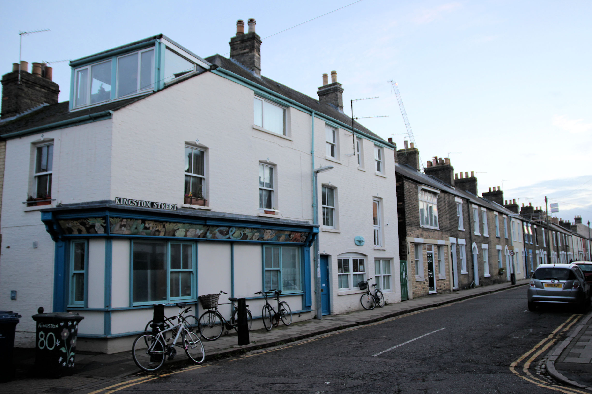
Kingston Street to Mill Road Bridge
The existing route back from here to Mill Road Bridge is via Kingston Street.
I’ve now reached Mill Road. To the far right, H.Gee’s electrical shop has not been repaired following the fire nearly three years ago, although the premises either side have been refurbished and reopened.
At the entrance to the Ironworks site, exterior refurbishment of the former Mill Road Library has been completed and the scaffolding removed.

It’ll probably be worth revisiting this trail in the summer when all the works have been completed and the surroundings tidied up. Hopefully by then the plans for Chisholm Trail Phase 2 will be clearer. (Update: see Chisholm Trail Phase 1 – Six Months On)