Photographed on 1st June 2021.
Introduction
The area around Cambridge Station has been undergoing major redevelopment for some years now, which is ongoing. This walk illustrates the area in summer 2021.


Route
The outbound route is the “obvious” route along the main roads that I’ve used thouands of times when commuting from Home to work (in Shelford) or going anywhere by train.
The return route follows the route that the railway originally took from Cambridge Station to the Chalk Pits area, which ran to the north of Greville Road, to the south of Marmora Road and along Budleigh Close. That was replaced with the current route across Coldham’s Common in 1896, but the track remained in place until the 1920s when it was removed to develop the Coleridge district. Details and photos can be found on the Cambridge – Its Railways and Station website.
This is one of two “backstreet” routes to Perne Road from the Station. The other is along sections of Corrie Road, Brackyn Road, Hobart Road and Suez Road.
Radegund Road to Carter Bridge
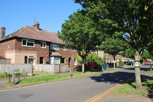
Radegund Road
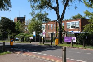
The Co-op and block of flats by the roundabout was built recently on the site of a 1930s parade of shops that contained a newsagent’s, post office and hairdresser. The newsagent no longer has a shop and delivers papers in the area from a base elsewhere. The nearest post offices are in Mill Road and Cherry Hinton Road. The smaller 1930s block was more in keeping with the area but very shabby.

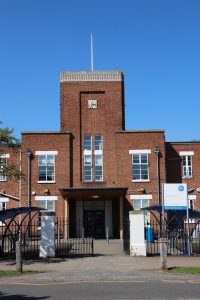
Coleridge Community College was built early on during the development of the area. The original 1930s building is attractive by the standard of most comprehensives. In the late 1990s it was threatened with closure, but Parkside Academy took it over and improved it, both educationally and physically. Now it’s part of a Multi-Academy Trust.
Out of shot to the right, set well back from the road behind a car park, is the prosaically named Ridgefield Primary School – built on part of the secondary school field. That opened in 2002, replacing Sedley Infant School in Malta Road and Romsey Junior School in Coleridge Road behind the Romsey Labour Club.

The original 1930s entrance has been remodelled. Its clock is accurate – the reason the image details show 15:50 is that my camera’s clock was 13 minutes fast!

Sadly its new sports hall, completed in 2014, caught fire in August 2020. The fire started in solar panels on the roof. Fortunately few people were onsite at the time and nobody was harmed. Hopefully it’ll be ready for them to use again by September.

This old hall has been repurposed as the Cambridge Quranic Centre. It’s nice to see old buildings like this spruced up for new uses rather than demolished to make way for modern “densification” like the shops described earlier.

Davy Road
Crossing Coleridge Road onto Davy Road, Coleridge Recreation Ground is visible on the left. I’ll cover the Rec. in its own right on another occasion.

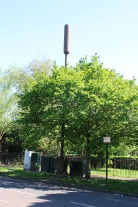
From here it looks as though a tree has sprouted a mobile phone mast.

An ice cream van is parked outside a Rec. entrance. After a very wet May, June is hot and sunny. Hopefully the summer will help make up for the business the ice cream seller lost during lockdown.

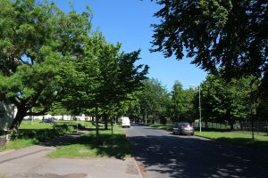
Looking back along Davy Road from further along, the flats to the left and the Rec. on the right are largely obscured by trees.

Sorry we missed you!
We attempted to deliver your package while you were out. It has been left in a safe(ish) location.
Sometimes while walking around I spot odd things like this.

I’m now on Rustat Road looking back along Davy Road.

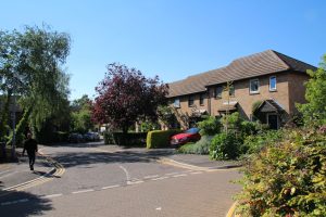
Rustat Road
The east side of Rustat Road approaching the Carter Bridge. I’ll photograph the bridge from the other side, as here it is obscured by modern flats on a former industrial site. I haven’t photographed those today because the sun is behind them.
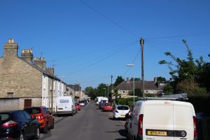
The view back along the east side of Rustat Road shows rendered 1950s semis typical of the area.

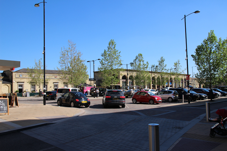
Station Square and Surroundings
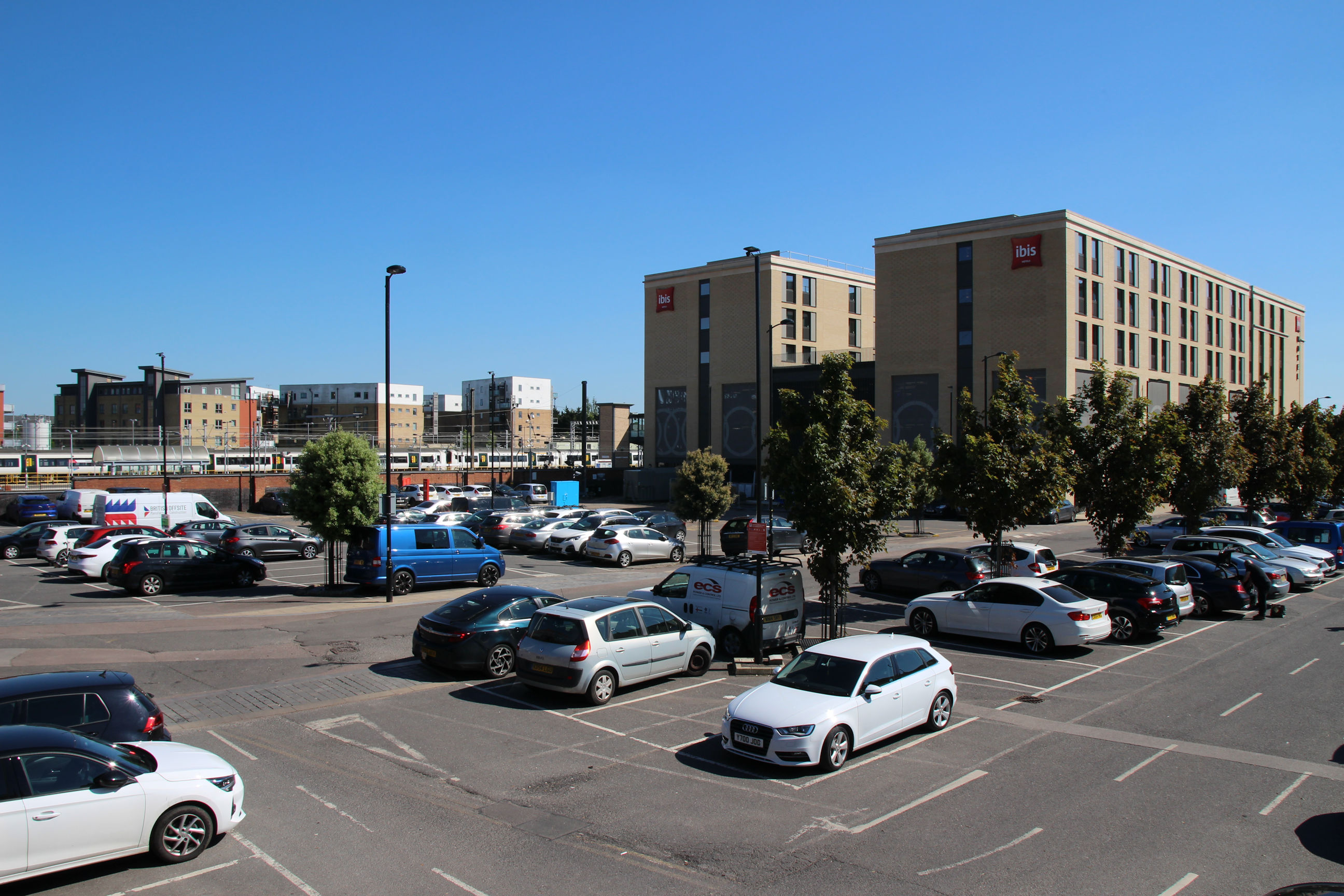
Station Car Park
I’ve now crossed over the Carter Bridge into the station car park.
Here are some views that are likely to change dramatically soon. A planning application has recently been submitted to build a multi-storey car park and “aparthotel” on the open-air car park next to the Ibis Hotel.
New flats off Rustat Avenue can be seen across the railway from the station side.

The Ibis Hotel was built on the part of the car park closest to the station, and contains a large cycle park.
A closer view of the Ibis Hotel and cycle park.

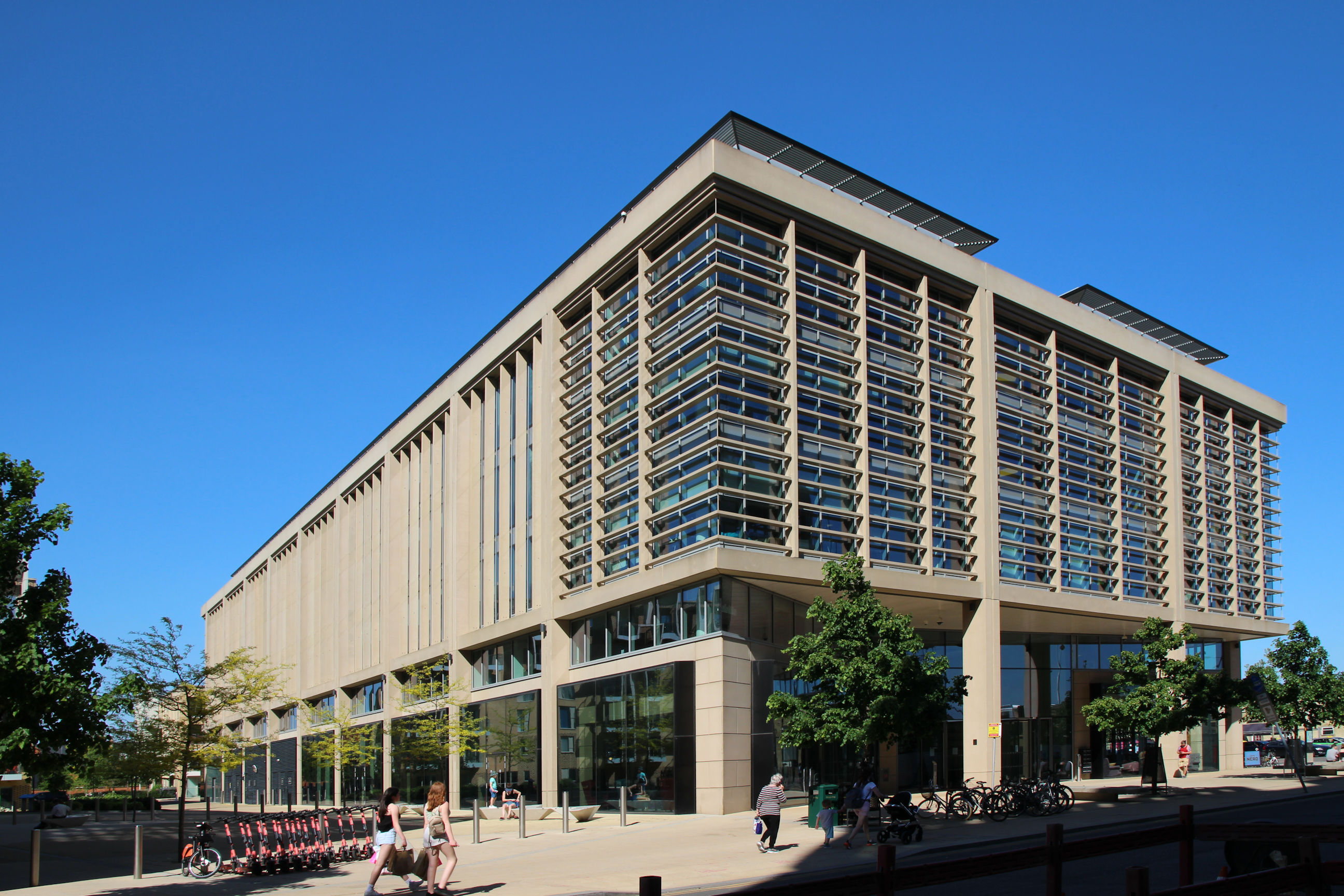
Looking south across the car park there is a large new building opposite the station entrance, containing several shops and cafes with offices above. The station is out of sight to the left.

Station Square
The Ibis Hotel from the station side. There are bars, cafes and a barber’s shop here.

The separate building to the left of the main station building has been converted into a bar called the Old Ticket Office.
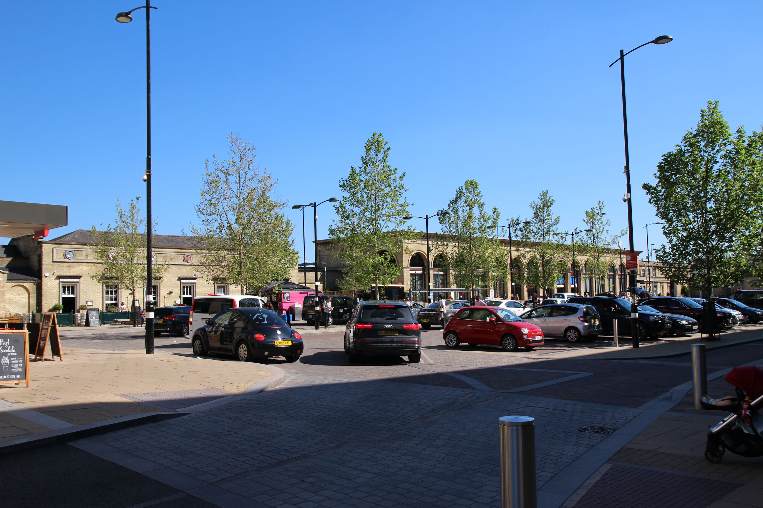
The main station building viewed from outside the Ibis Hotel.

The station viewed across the newly built Station Square approach.

To the right of the main station is the approach to the new bus station. Guided buses to Trumpington depart from there.

Station Road
Redevelopment here continues, and mainly consists of densely packed office blocks. The development has been imaginatively branded CB1 – A new city quarter for Cambridge. My home is in the CB1 postcode district but I don’t think of it as part of this.
The Station Square building viewed from the front of the Ibis cycle park. It is on the north corner of Station Road.

This development on the south corner of Station Road replaces a 2-storey office building.

The Station Square building from the Station Road side – it looks more inviting from the sunny side.
These flats are good for commuters who don’t want the exercise of a daily walk to the station.

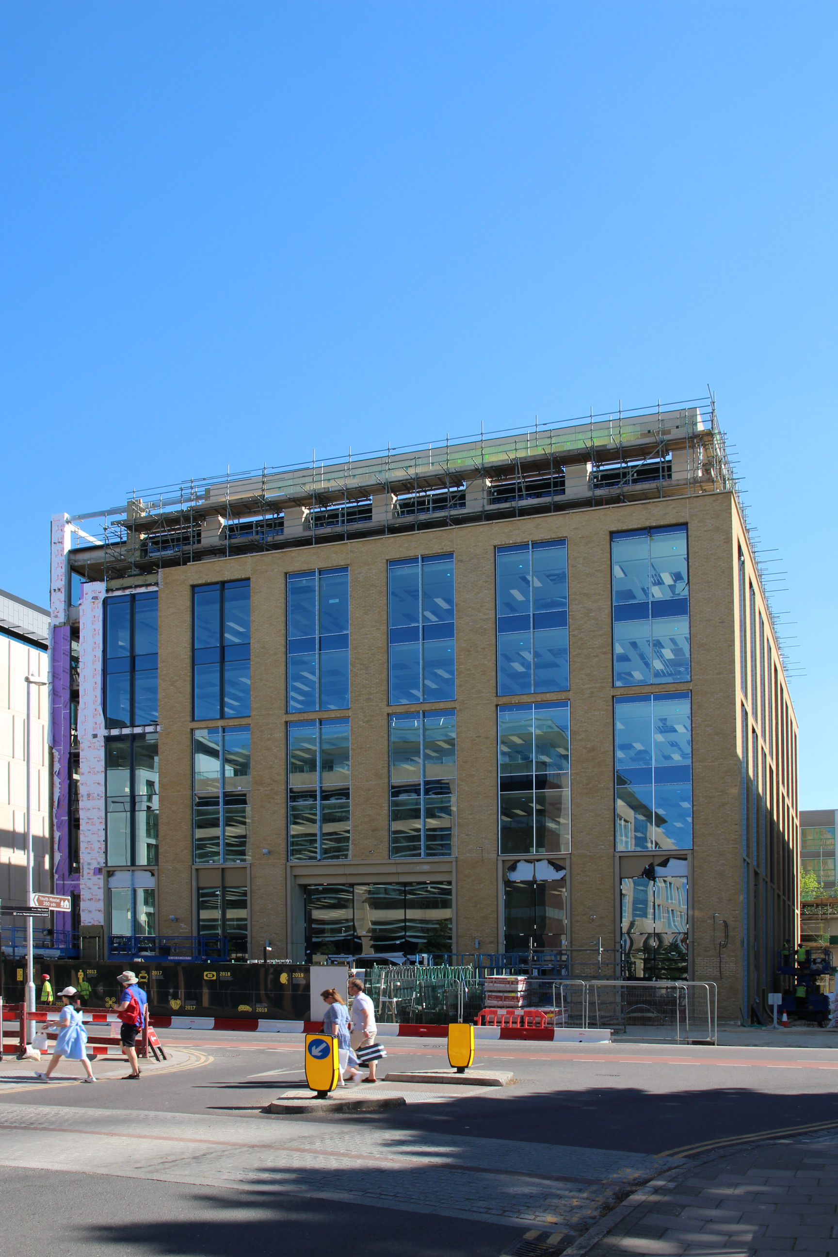
This six-storey block is replacing the three-storey building that previously housed companies including AlertMe (now Centrica Hive).
As can be seen here, a similar block has been completed to the right of it. That is 22 Station Road.

There used to be three identical 1960s office blocks like the one in the background here. The first was demolished in 2014, and has been rebuilt as 22 Station Road shown above. The middle one in this photo is now a hole in the ground. The third is likely to suffer the same fate before long.

The view east towards the station (in the background in the middle) along Station Road is now something of a “concrete canyon”. At least there are still some trees trying to obscure the view.

Carter Bridge to Cherry Hinton Brook
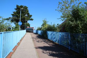
Carter Bridge
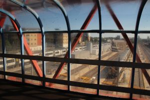
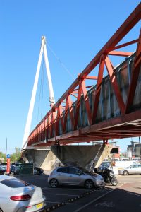
The Carter Bridge looking back across the station car park. It opened in 1989 and is named after Tony Carter, a former City Councillor. Allegedly at the time it was the longest fully enclosed cycle and footbridge in the world.

A close-up view of part of the bridge taken from the car park below.

There are a long ramp up from Devonshire Road and steps from the station car park closer to the bridge entrance. Ravensworth Gardens is to the right.

The somewhat uninviting entrance to the foot/cycle bridge. At least the prominent CCTV camera and monitor should reassure people it’s safe.
It got scruffy soon after opening – the glass quickly got dirty. Now it’s absolutely filthy and the fading red/blue colour scheme is reminiscent of 1980s Network SouthEast. There’s talk of refurbishing it, but the inaccessibility of the exterior for cleaning means it won’t stay looking nice for long.
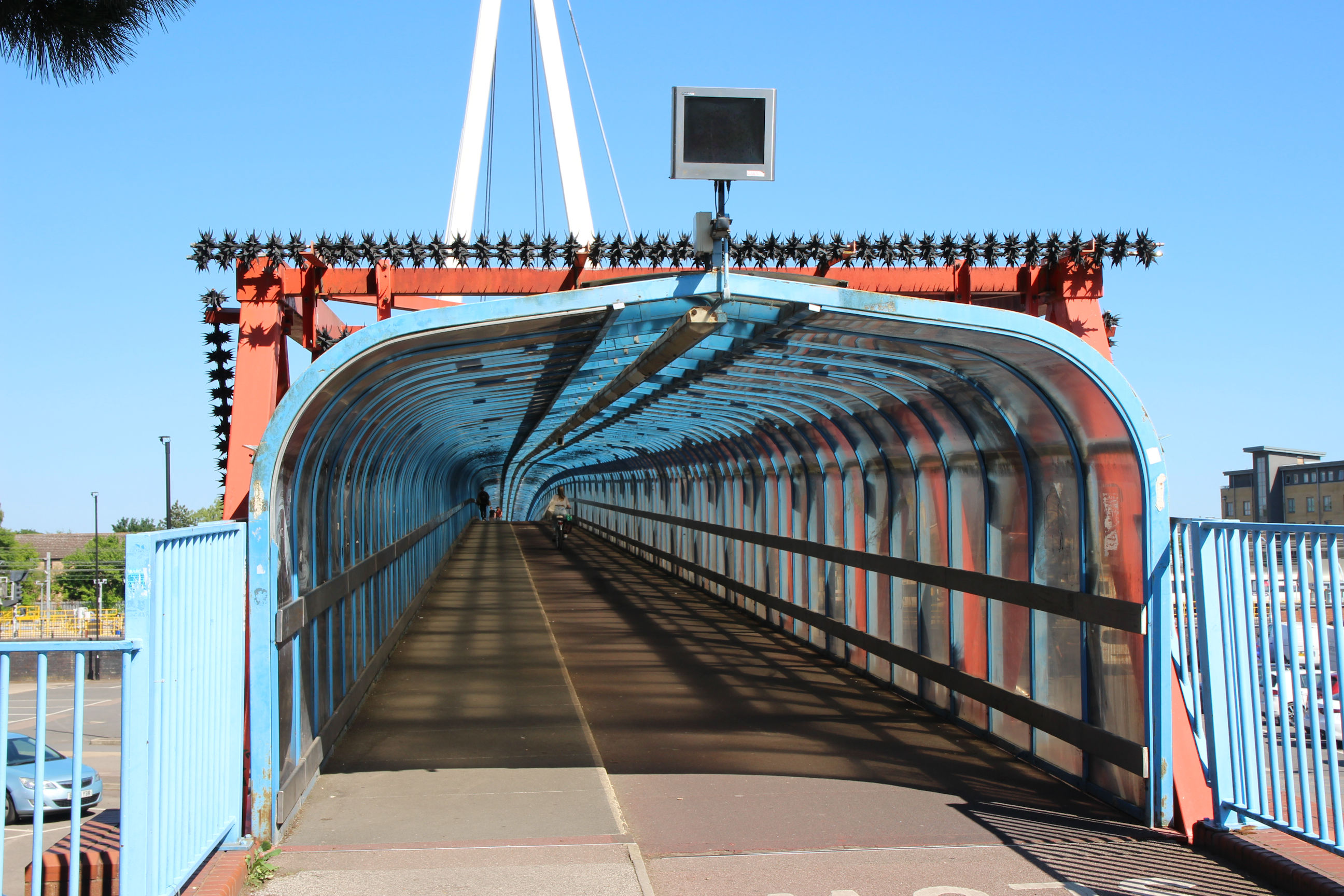
In some places it looks pretty grim.

Further along it’s slightly cleaner and you can see the new “mini platforms” that they constructed a couple of years ago for train maintenance.

William Smith Close and Greville Road
The original railway line towards the Chalk Pits area turned sharply right out of the station, about where the Carter Bridge and William Smith Close are now.

From there the railway ran along the ends of the back gardens of these houses on the north side of Greville Road. They back onto the gardens on Argyle Street, which was built while the railway line was in situ.
The leftmost house shows where the corner shop has closed within the last few years and the shopfront has been bricked up.
The poster on the tree is appealing to find a lost cat. I hope it turns up.

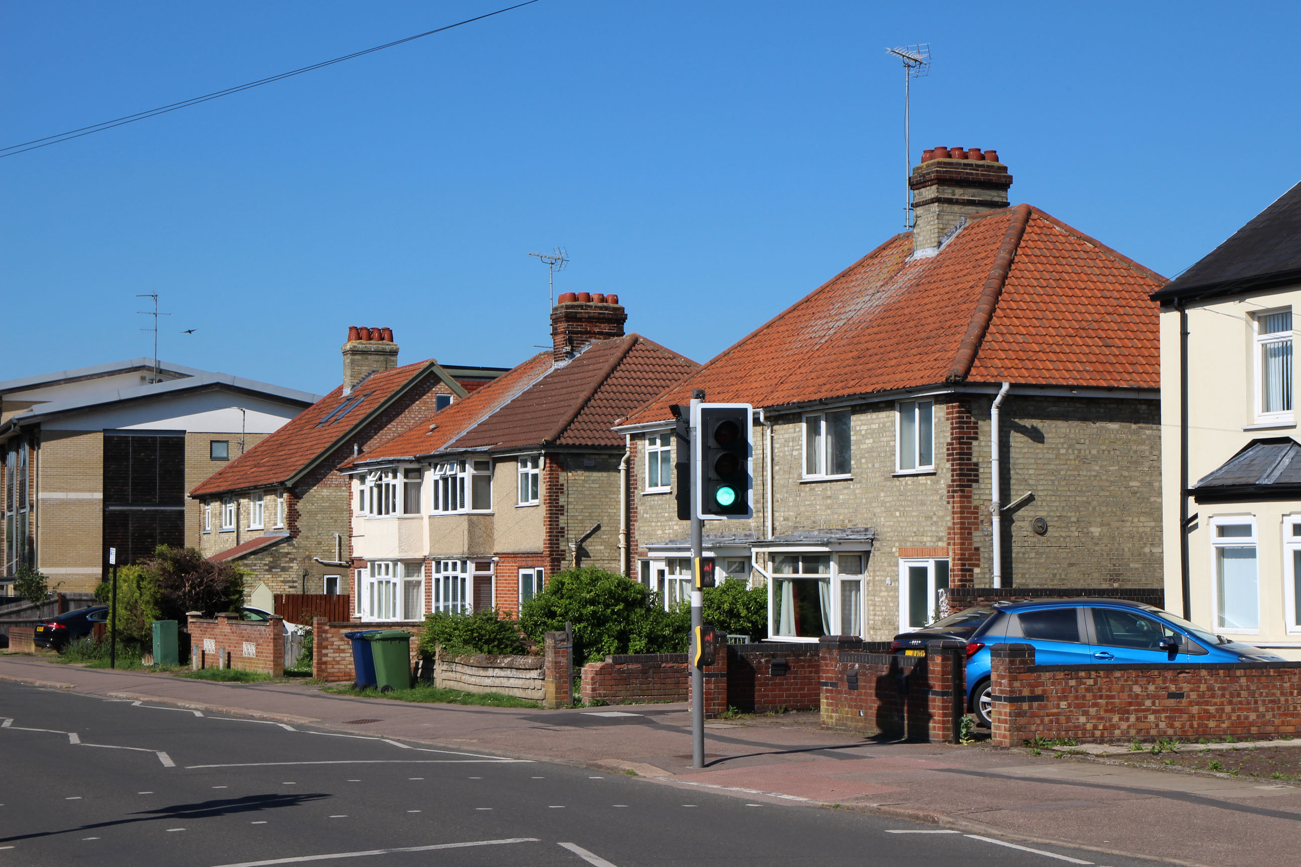
Coleridge Road
Here on Coleridge Road the location of the former level crossing can be seen, where there are 1930s properties between the Victorian terrace on the right and the 21st Century flats on the left, which stand on the site of the former Victorian Romsey Junior School.
Coleridge Road was originally a cul-de-sac called Romsey Avenue, which only extended as far as the Victorian houses. It was extended through to Cherry Hinton Road after the railway track had been removed and development of the Coleridge district had started.

There’s a convenient footpath for cutting through to Marmora Road, helpfully signposted with white hieroglyphics on the end of a brick wall.

Marmora Road
The railway used to run along the south side of Marmora Road. Victorian (Romsey) houses are on the left, and 1920s (Coleridge) houses on the right.

At the other end of Marmora Road there’s another footpath which runs along the back of the Coleridge Community College site.

From this footpath you can see across the Coleridge Community College playing fields to the back of its buildings on Radegund Road.

Perne Road
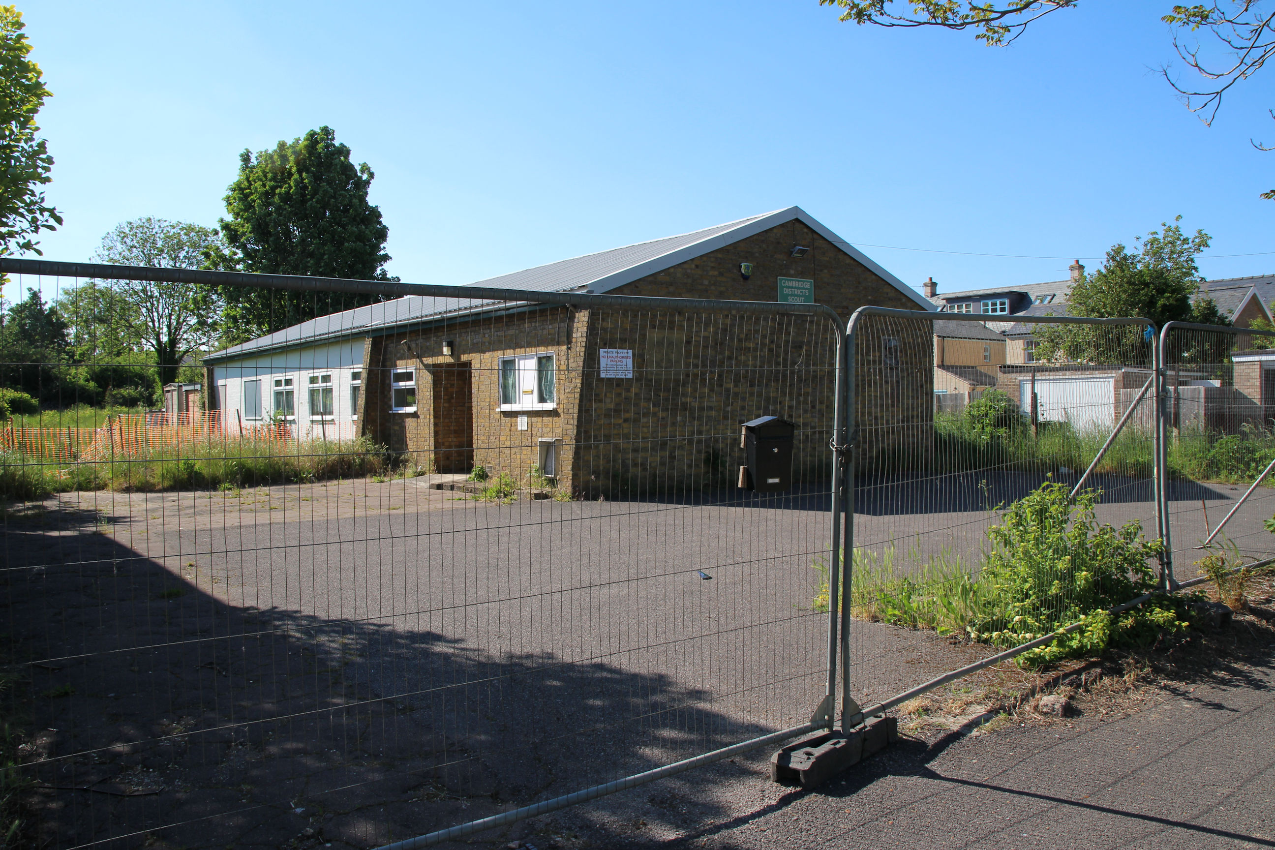
From here the railway route next crossed the Perne Road Scout Hut site. There’s no access to the back of that from here; the footpath exits onto Natal Road, which leads to Perne Road a bit further north.
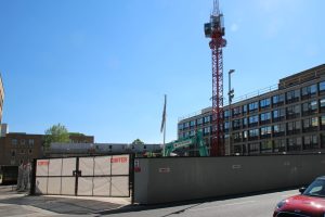
The scout hut site is now fenced off awaiting redevelopment. They used to sell scouting uniforms etc. here but closed it down and now sell them online.
On the east side of Perne Road opposite the Scout Hut site, the railway ran along here to Budleigh Close beyond the bollards. There has never been a level crossing on Perne Road as the section south of Natal Road didn’t exist until after the railway track was removed in the 1920s. This stretch then became a dirt road entrance to the cement works (before the West Lake pit was quarried), and now serves as a driveway to one property and useful extra parking space for visitors to the area.
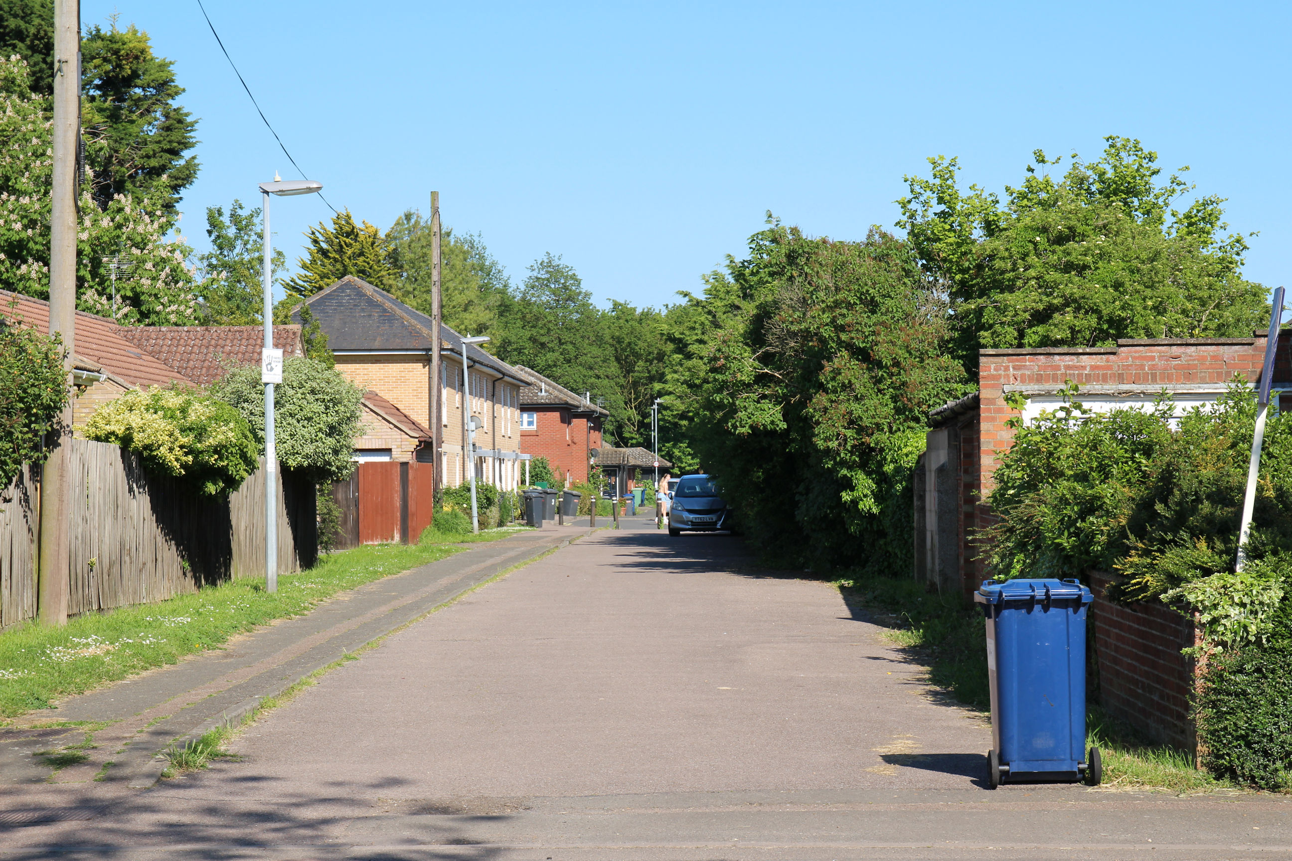
Budleigh Close
You can’t drive into Budleigh Close from Perne Road; the entrance is from Tiverton Way. This leads down to Cherry Hinton Brook on Burnside.

The concrete bridge across Cherry Hinton Brook is what remains of the original railway bridge. The railway crossed what is now the West Lake which can be seen here, and joined the existing track beyond it in place of the current route running southeast from Coldham’s Common.
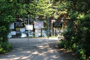
The West and East chalk pit lakes are currently fenced off and only accessible to the angling club. Various planning applications have been submitted to develop the site as a nature reserve, urban country park and warehousing. That’s a topic for another walk.

Cherry Hinton Brook runs under the bridge, from Cherry Hinton in the east to Coldham’s Common in the west. That’s also a topic for another walk.

I’m now heading back along Budleigh Close towards Perne Road, and turn left to go Home.
