Photographed on 16th June 2021, with a few more photos taken on 22nd June 2021 and 4th August 2021.
Introduction
The long-undeveloped Chalk Pits between Coleridge and Cherry Hinton are a hot topic at the time of writing, as a full planning application has been submitted to develop them as warehousing and civic amenities.
Update March 2025: The original planning application was withdrawn in November 2021 after receiving over 500 objections, mainly from nearby residents about the height, proximity and day/night activity of the proposed warehouses on Parcel A. If the land is developed they would prefer low-rise business units etc. that are quiet at night. Some also expressed concern about the safety of the lakes. The most recent planning application was submitted in May 2023.
The history of the lime and cement works to the east of Cambridge and their associated quarries is long and complex, and described fully in the East Romsey Town Cement Works document. To summarise, there were four cement works sites in the area:
- The Romsey Works, on Mill Road where the Cambridge Central Mosque and Cam Foundry student accommodation are now, formerly the Robert Sayle warehouse site.
- The Astra Works, on Sainsbury’s site west of Cherry Hinton Brook.
- The Saxon Works, on the site of the Army Reserve Centre and Sainsbury’s car park extension east of Cherry Hinton Brook.
- The Norman Works, on the site of the Holiday Inn and David Lloyd health and tennis club. This was the last works to cease operation, by which time it was run by Blue Circle.
All that remains of the industry now is the Hanson ready-mixed concrete plant at the northwest end of the Norman Works site.
The works used “chalk marl” quarried from pits close to them. The Saxon Works had three pits, which all flooded naturally before anything was done to fill them in:
- The lake within the Army Reserve training ground, often calked the “TA Lake”.
- Two lakes with an entrance at the end of Budleigh Close, currently accessible only to the site owner and Cherry Hinton and District Angling Club (CHADAC). These are known as “West Lake” and “East Lake”, and together are labelled “Parcel C” on the planning application.
The Norman Works had five pits:
- One was shallow, and the existing Norman Way warehouses (Booker Wholesale etc.) were built on it without filling it in; hence they are in a pronounced dip.
- Two at the east end of the site were landfilled with domestic waste during the 1960s to early 1970s. They are separated by the Cherry Hinton footpath and together labelled “Parcel A” on the planning application. 1960s-70s landfills were poorly regulated and constructed by modern environmental standards, and these suffer from methane “landfill gas”, contaminated areas and a relatively thin covering of poor-quality topsoil (probably just spoil from elsewhere on the site). They are low-quality brownfield land that has been deemed unfit for housing (as well as ground contamination, brick buildings on landfills can suffer subsidence) or public green space.
- Two at the northwest end of the site were landfilled with domestic waste from the 1970s until the early 1990s, when the Milton landfill opened. They are not visibly separate at the surface and are labelled “Parcel B” on the planning application. The land appears better reinstated – it looks much greener on Google Earth – and is supposedly suitable for use as sports fields or a managed nature reserve.
The planning application is to build warehousing on the Parcel A landfills, and use this to finance improvement and ongoing maintenance of the Parcel B landfill as a nature reserve and the Parcel C lakes as a publicly accessible “urban country park”. In the current post-COVID economic climate, this overall plan is probably the best that can be hoped for. However, residents of properties bordering Parcel A have objections to the scale and proximity of the warehouses and the amount of traffic they will generate, so there may need to be some refinement before the plan gets approved.
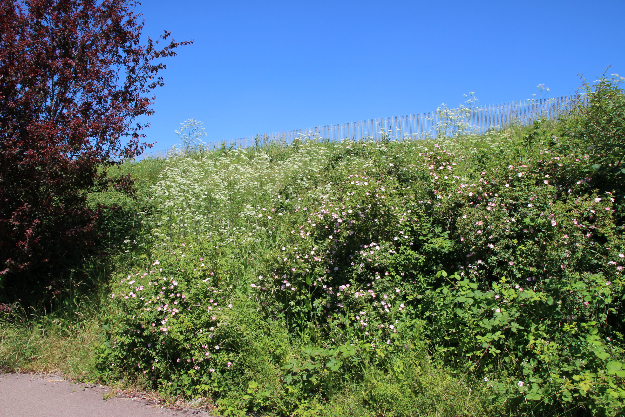
Walking along the footpaths around the lakes and landfills, very little can currently be seen of them. They are mostly surrounded by metal fences and thick vegetation. These photographs are not here to be admired in their own right, but hopefully to look back at and appreciate improvements made once the plan has been implemented and they have been opened up.


Route
This walk is a circular route starting and ending at Home. It first goes along Birdwood Road to Walpole Road, then north along Walpole Road and east via St Bede’s Crescent and St Bede’s Gardens to the Snakey Path alongside Cherry Hinton Brook. It then follows the Snakey Path northwest to Burnside and the Tins path east to Norman Way.
From a short distance up Norman Way it returns to the Cherry Hinton footpath, before going up the path along the east side of Parcel A North to Coldham’s Lane and back down along Katthleen Elliot Way. The route continues on the footpath along the north side of Parcel A South, towards Orchard Estate, before returning along it to Wolesey Way, and up Wolesey Way to Coldham’s Lane.
The route Home from there is along Coldham’s Lane, Brooks Road and Perne Road.
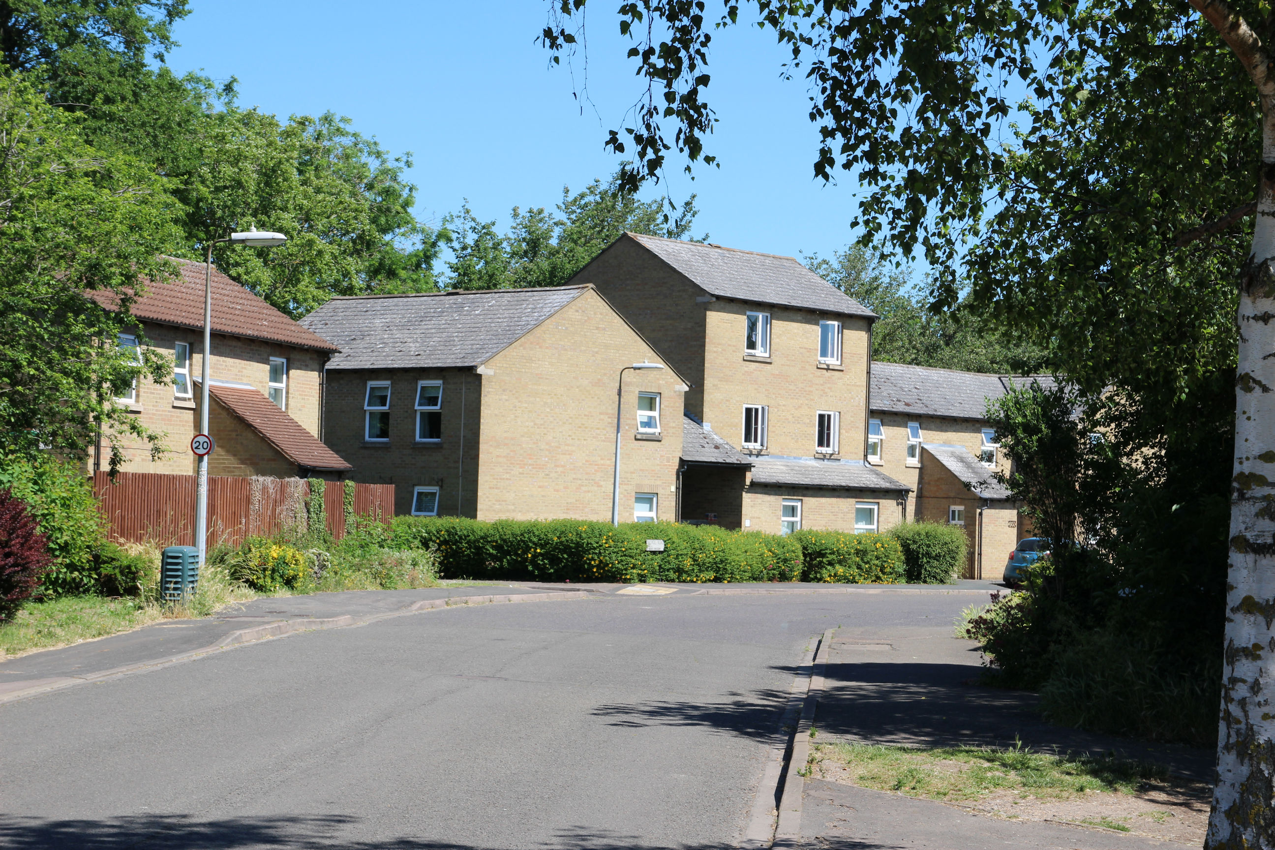
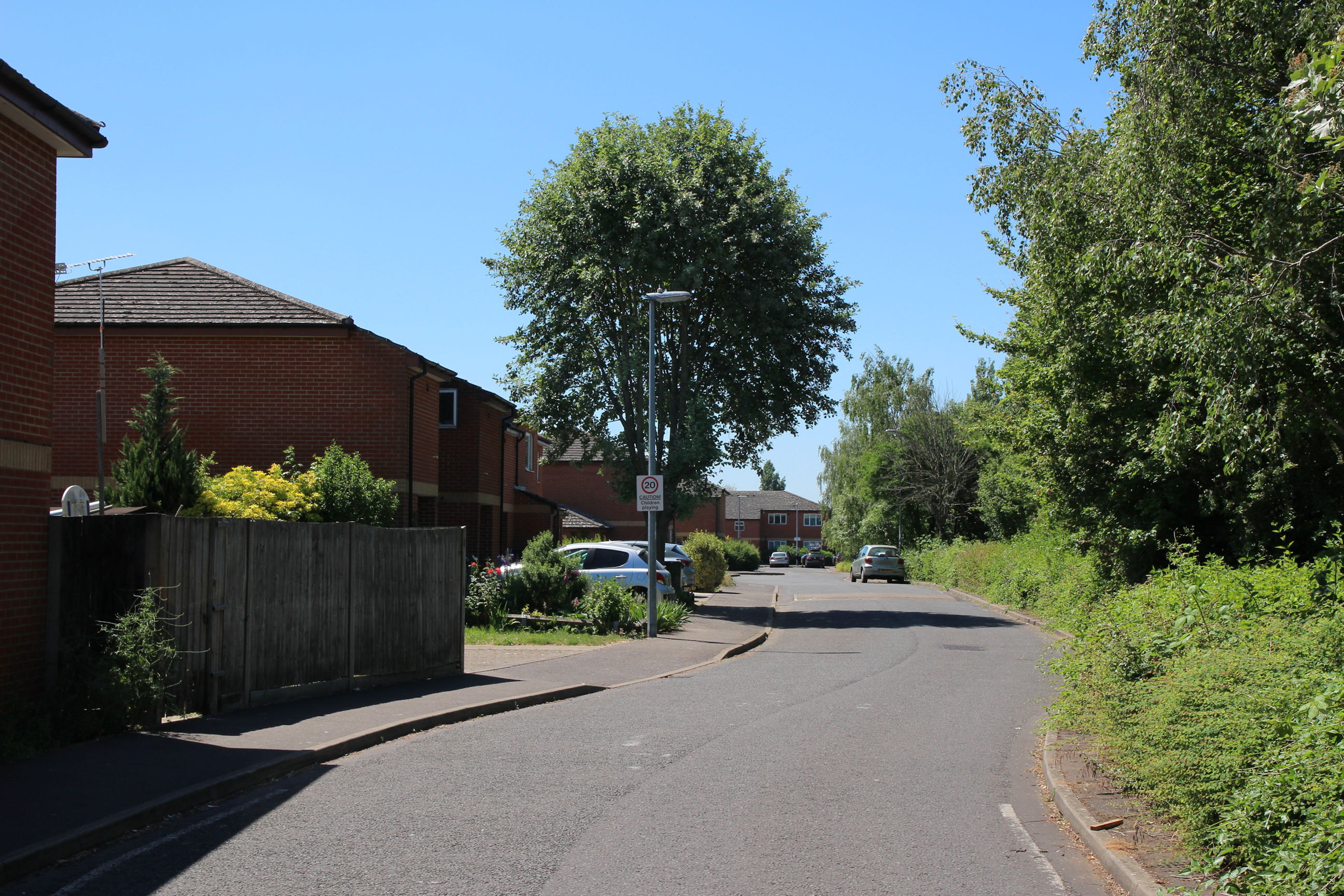
Birdwood Road to Cherry Hinton Brook
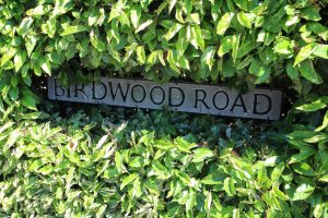
Whereas the Perne Road sign on this corner has disappeared, the Birdwoord Road sign is in the process of being rewilded.

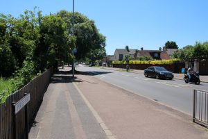
I’ve started the walk by heading east along Birdwood Road. Tiverton Way leads off to the left, parallel to Perne Road.
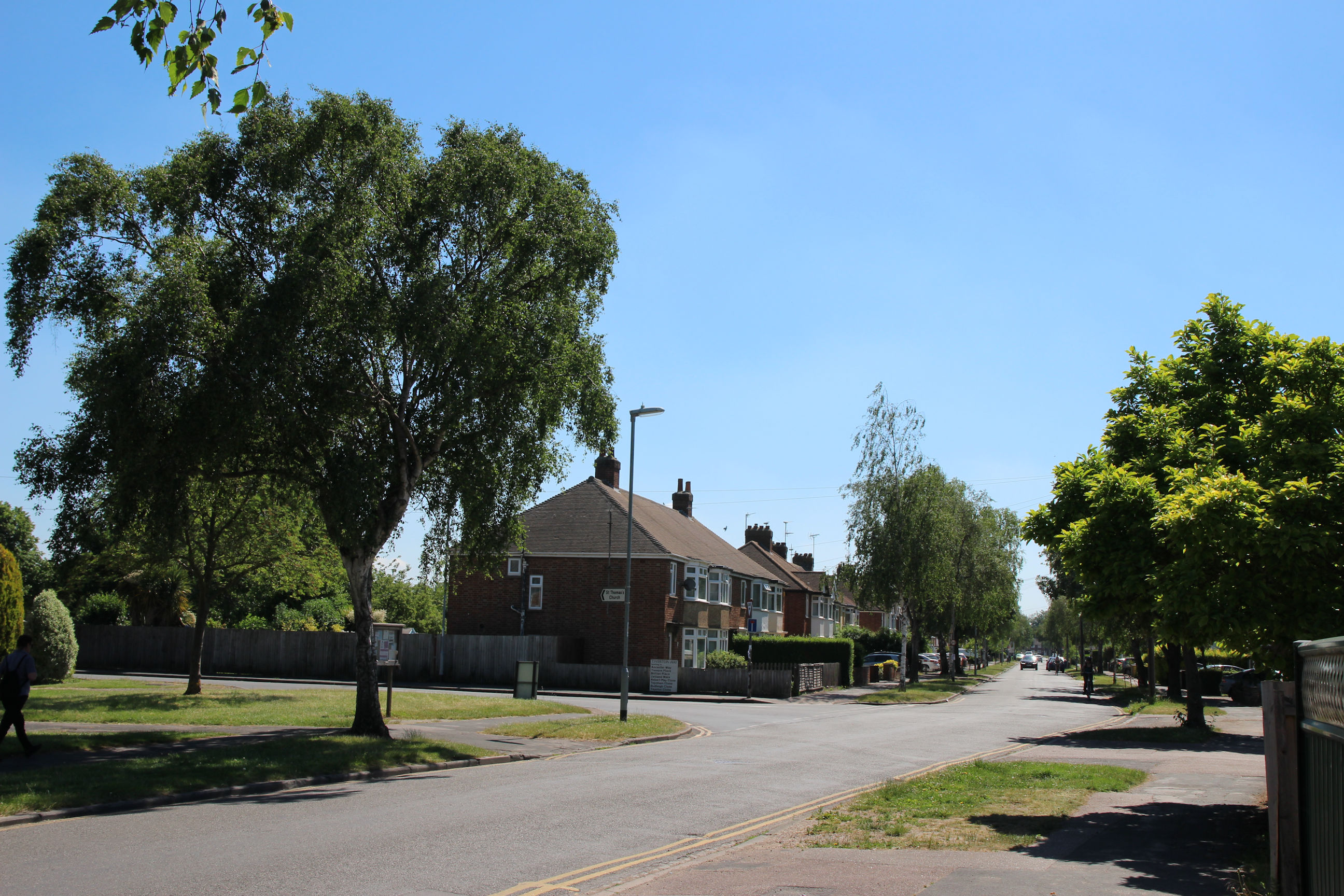
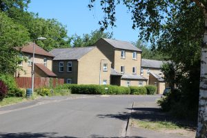
A general view of Birdwood Road looking back towards the roundabout.
In Birdwood Road they have a sort-of community library, presumably run by a group of volunteers – on previous occasions I’ve found it on the other side of the road. More books are in plastic crates along a garden wall, with lids on to protect them from the unsettled weather. Perhaps they should try to get the Petersfield red phone box relocated here to give it a weatherproof home.
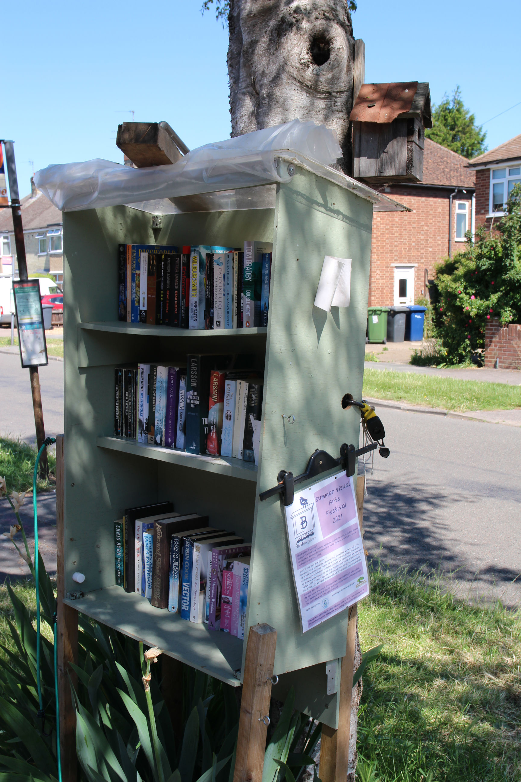
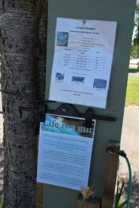
There are notices here advertising handmade wooden planters and a “Life is a gift” reuse/upcycling Facebook group.

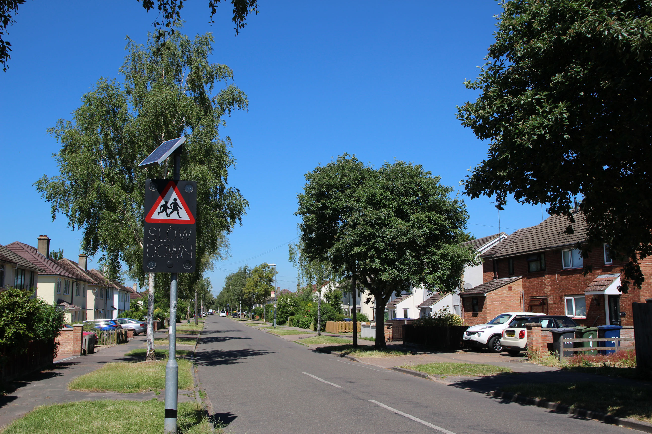
I’m now close to the Walpole Road end of Birdwood Road looking west. The crossing sign for St Bede’s School appears to have a solar-powered “SLOW DOWN” sign.
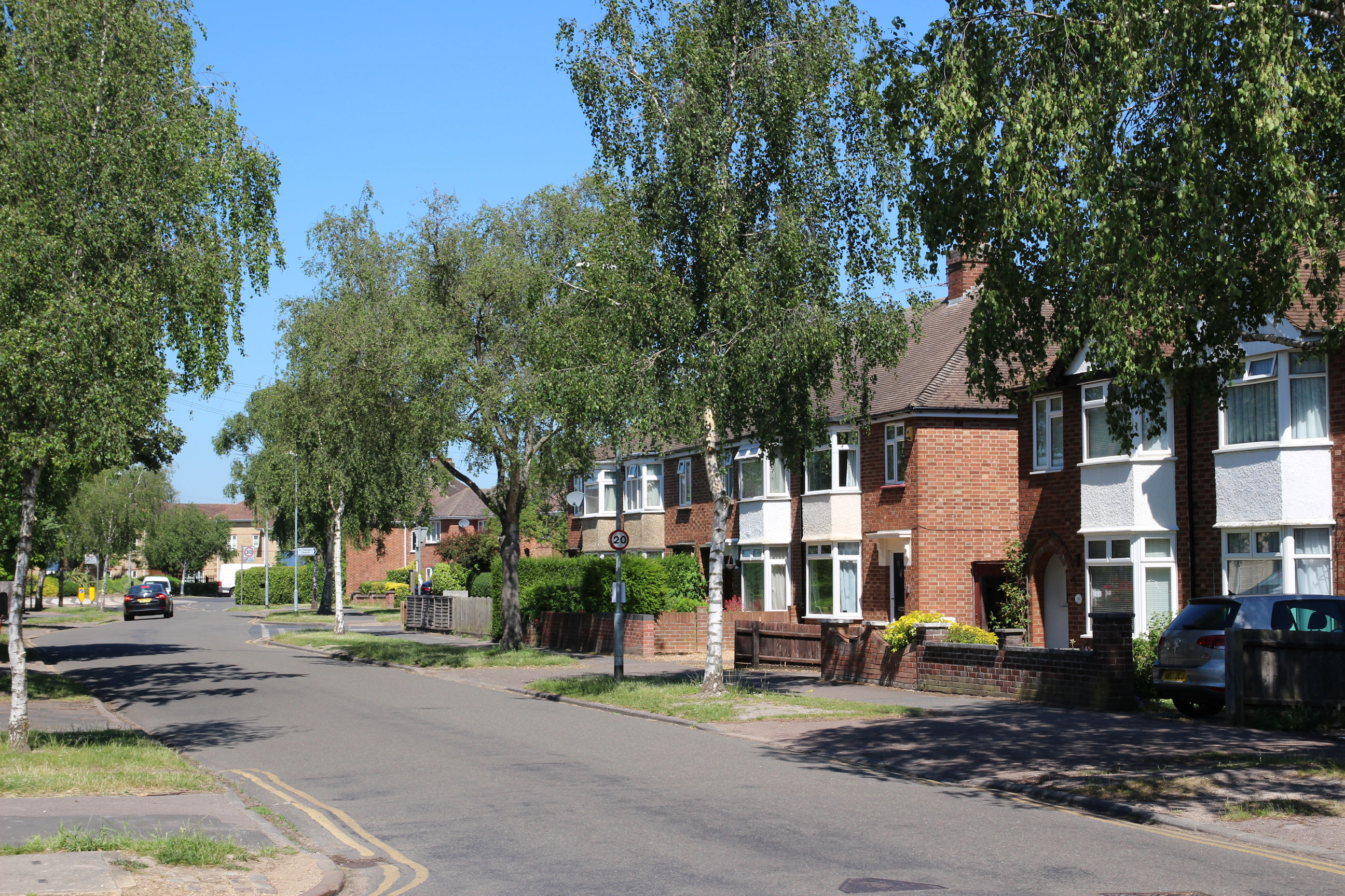
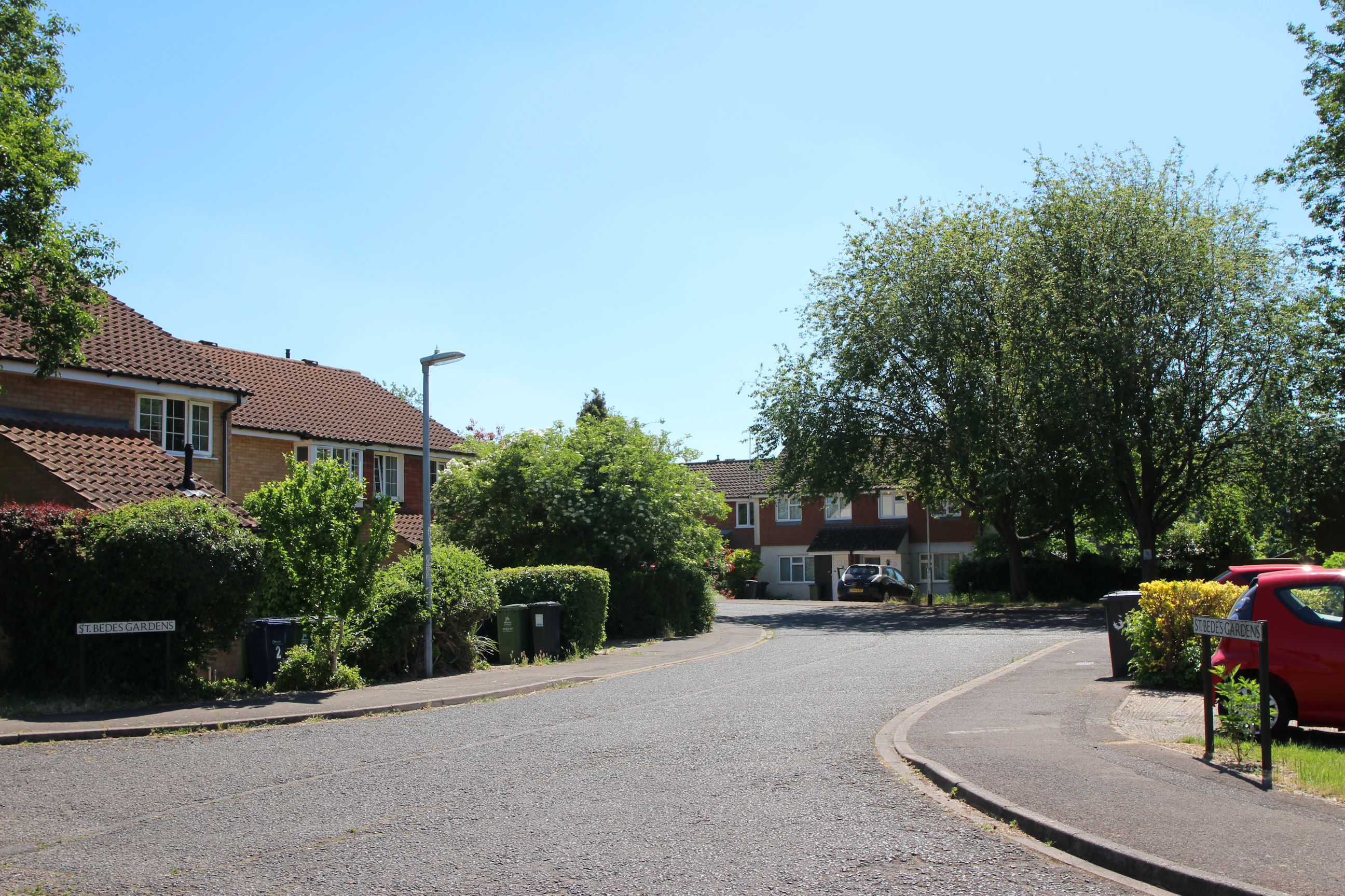
At the end of Birdwood Road I’ve turned left into Walpole Road, and will turn right into St Bede’s Crescent.
I’ve followed St Bede’s Crescent round and turn right into St Bede’s Gardens here and head along it to the Snakey Path.
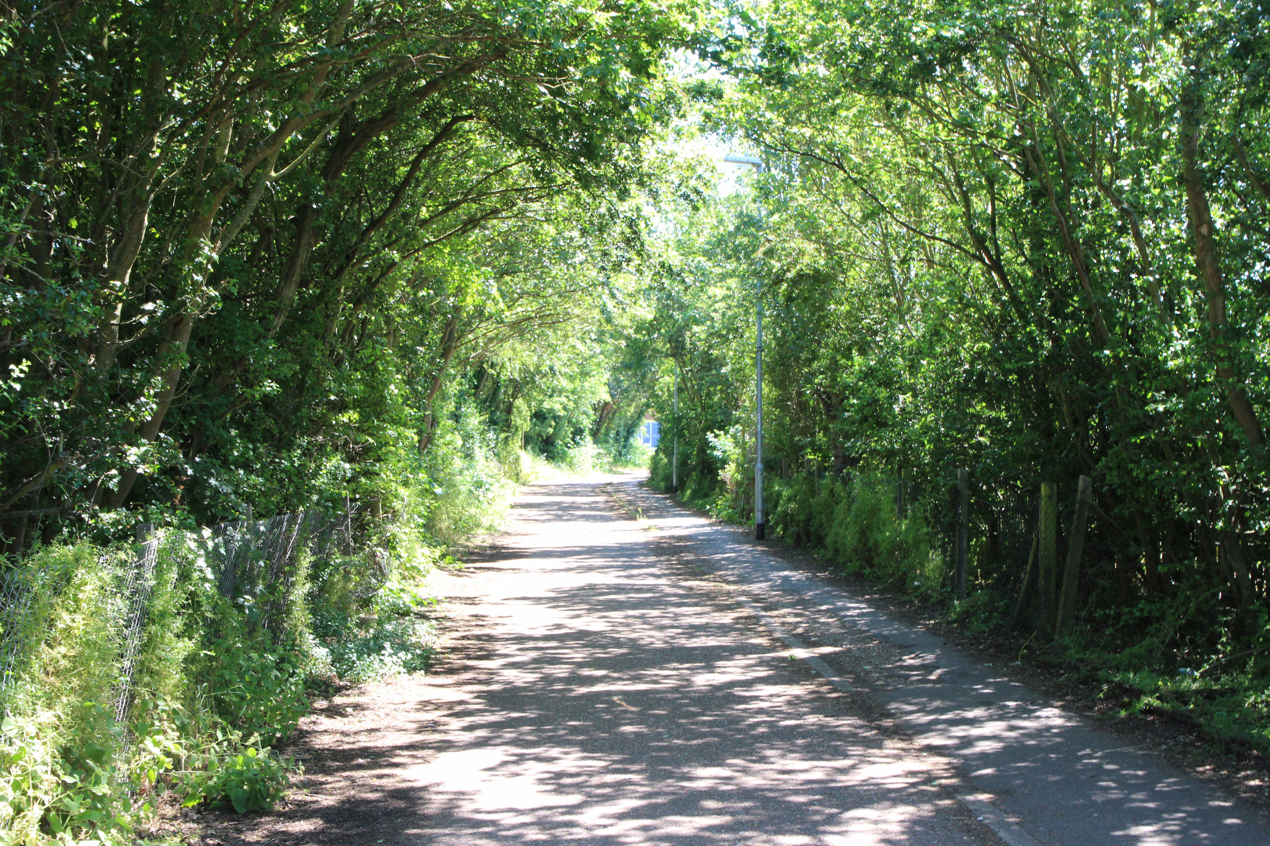
Snakey Path
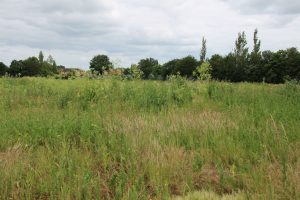
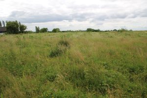
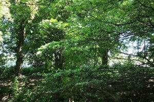
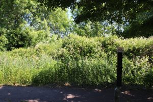
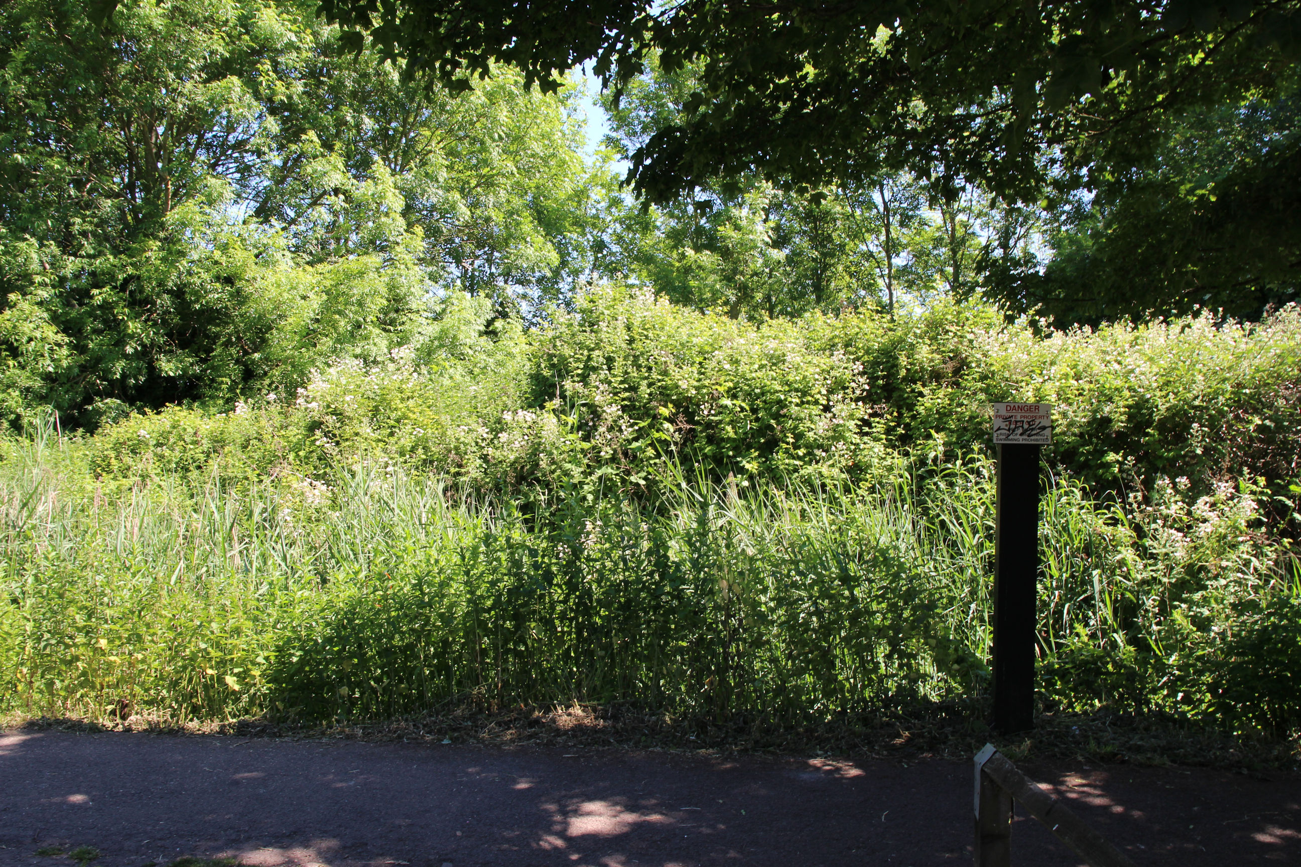
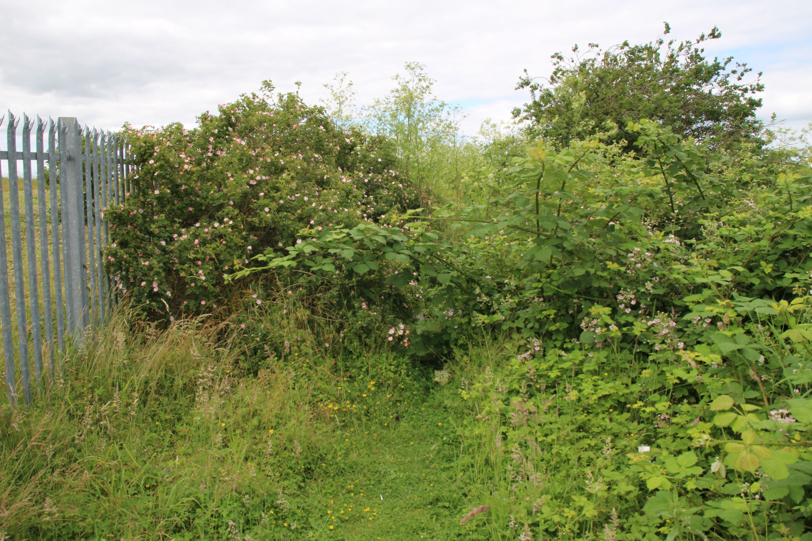
When I first reach the Snakey Path I’m greeted by a mass of overgrown vegetation. I can’t see the brook or the East Lake at all here.
The initial view west along the Snakey Path. The brook is lurking to the right.

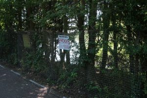
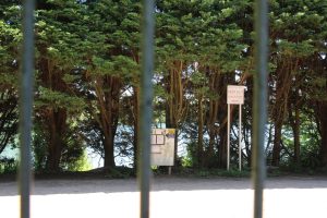
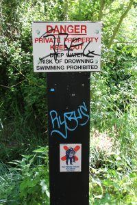
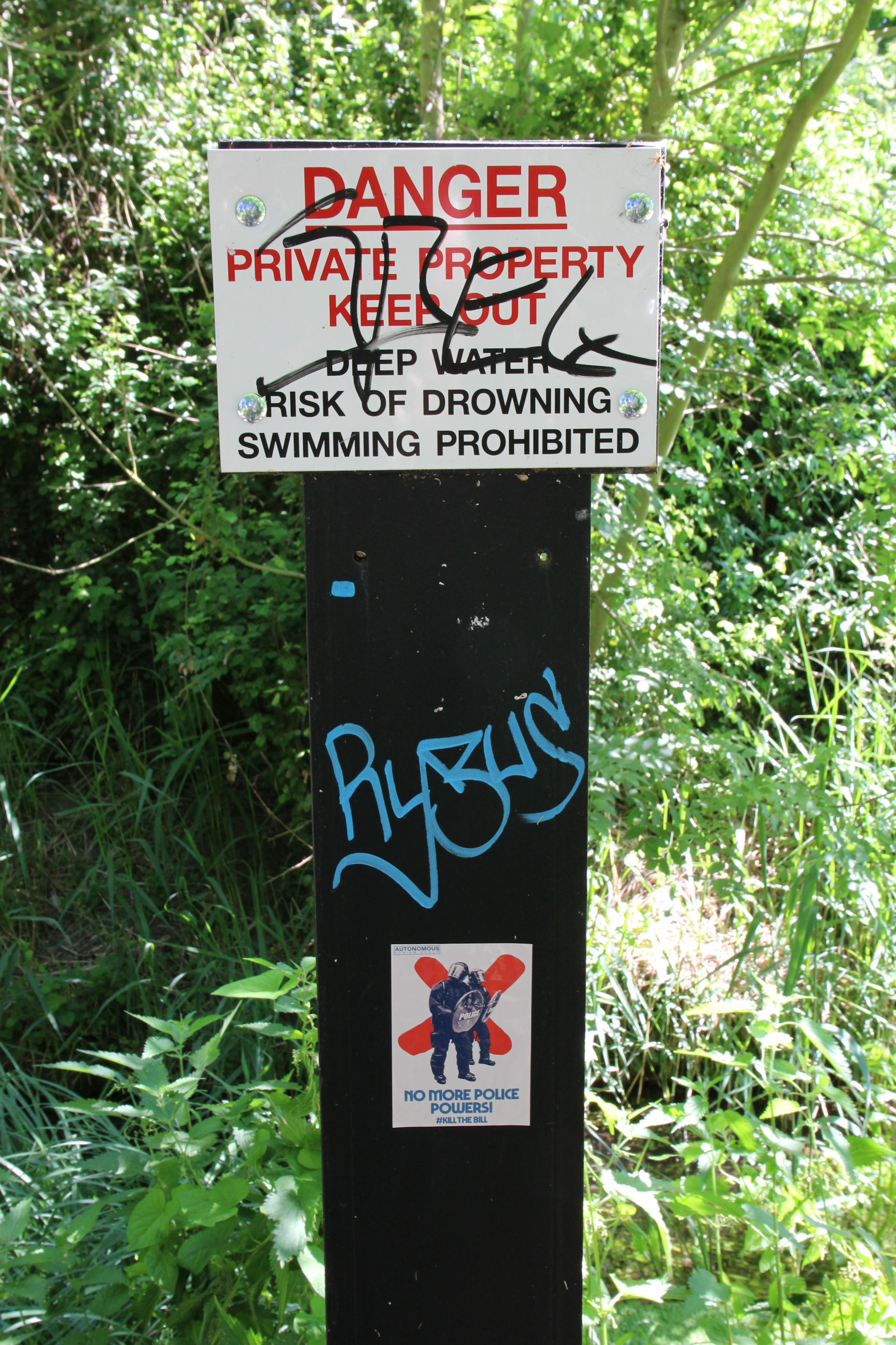
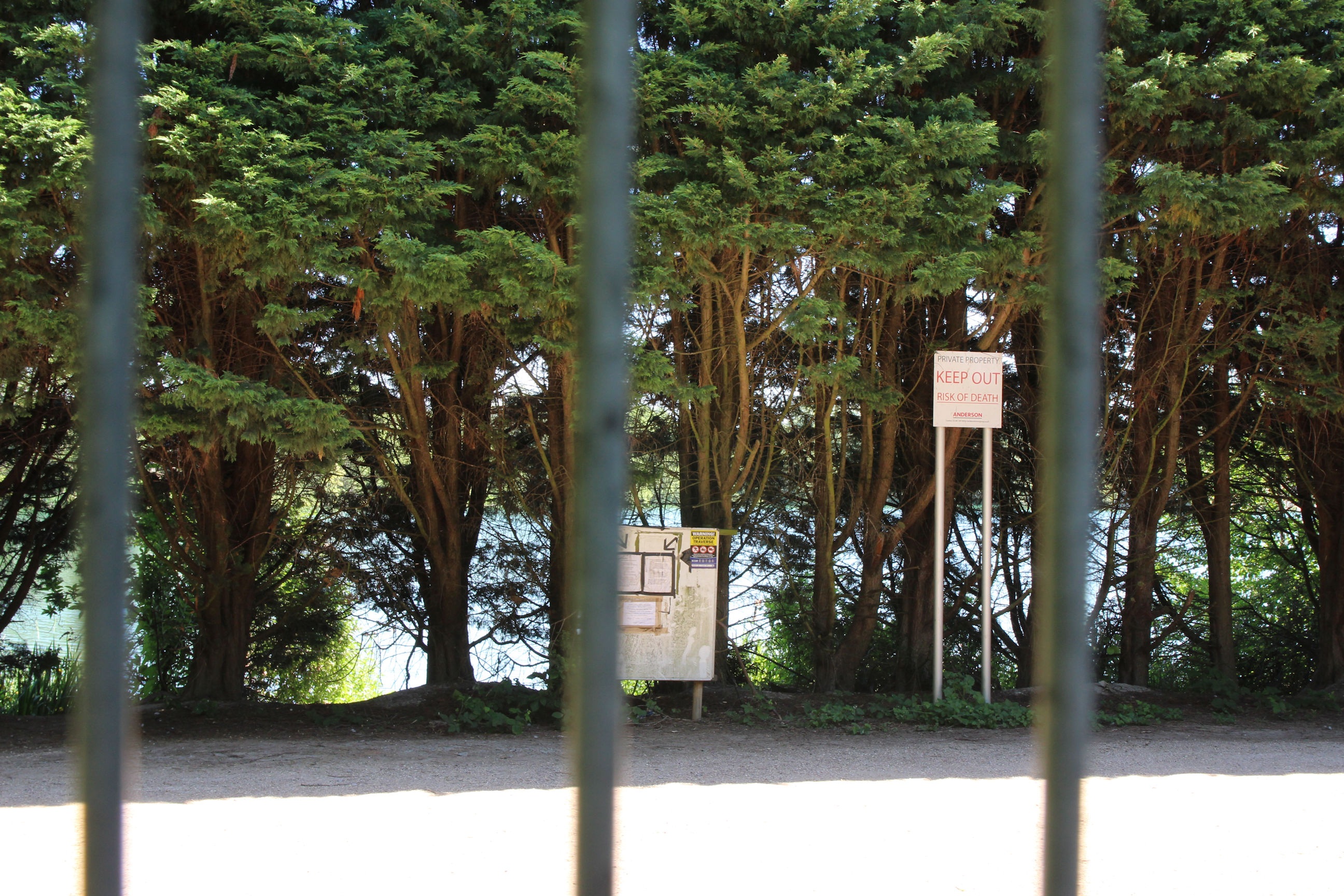
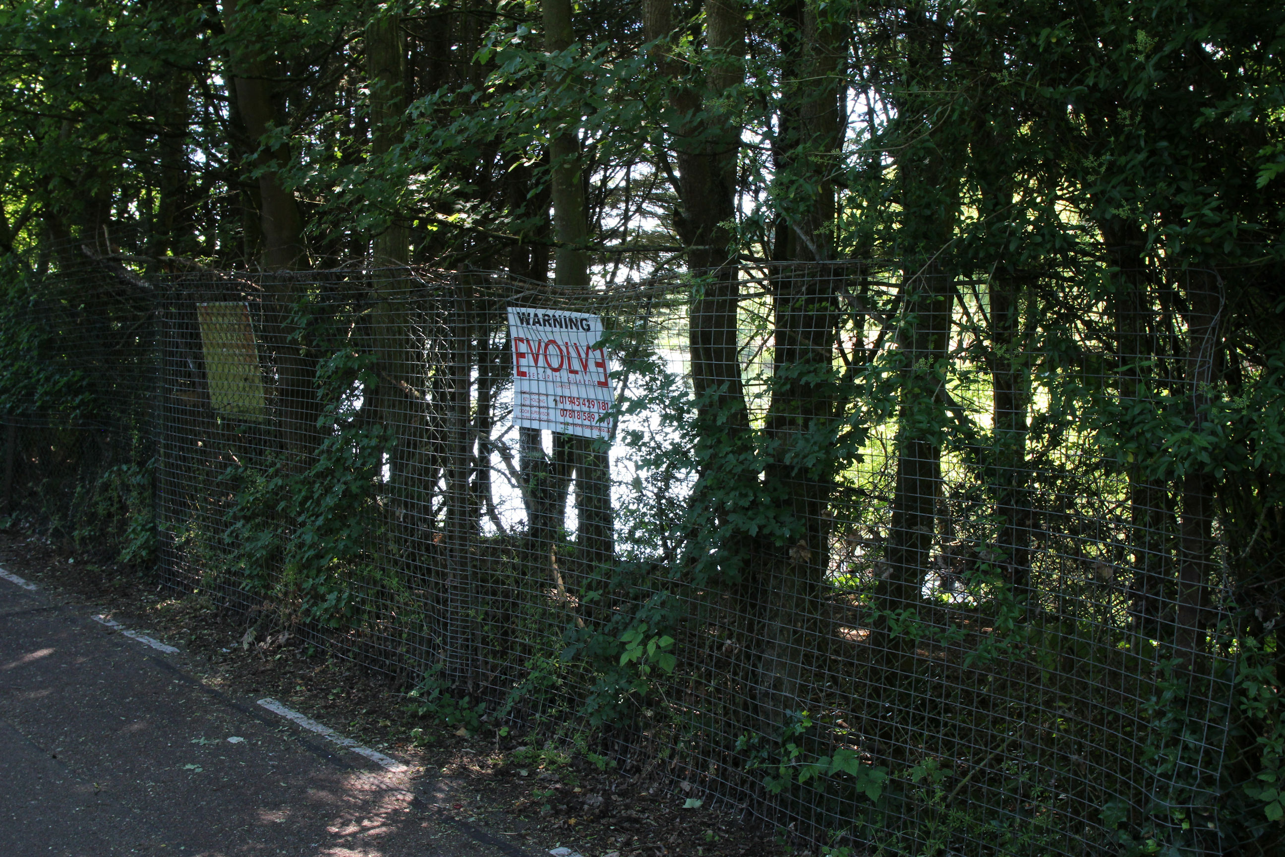
At regular intervals there are Danger signs warning people to keep out of the East Lake site. Apparently people regularly break into it, and like most quarry lakes, these have water that rapidly gets deep close to the edges. The signs have all been defaced and this one has an additional “Kill the Bill” sticker.
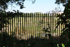
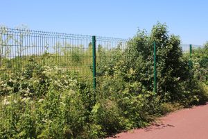
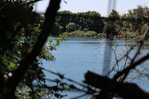
This is the most I get to see of the East Lake from the Snakey Path, where there’s a gap in the metal fencing. It didn’t look a lot better in real life.
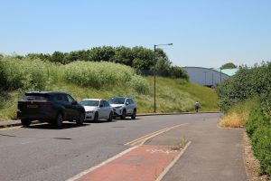
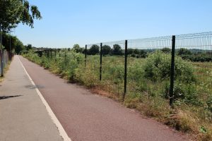
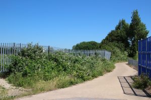
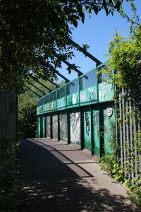
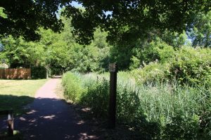
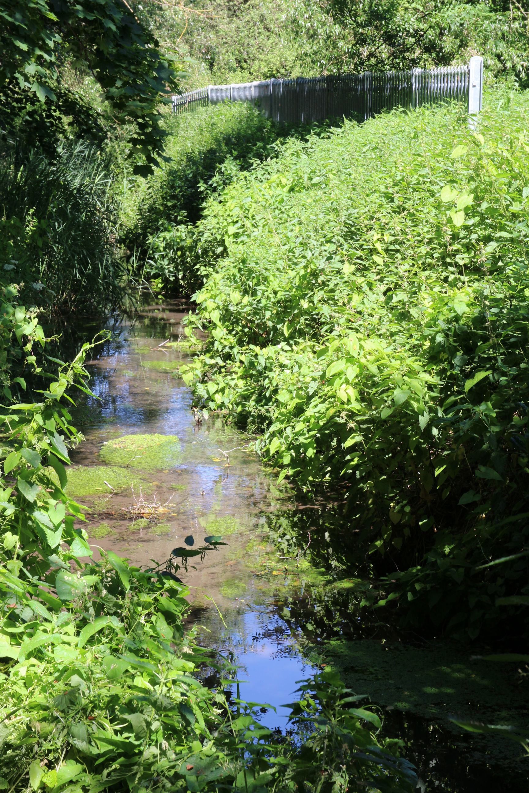
The Snakey Path in its current form is not well liked: it’s narrow, dark and overgrown. By loitering on it trying to take photos I’m getting in the way of people cycling along it. The planned improvements to the lakes include a path on the north side of the brook.
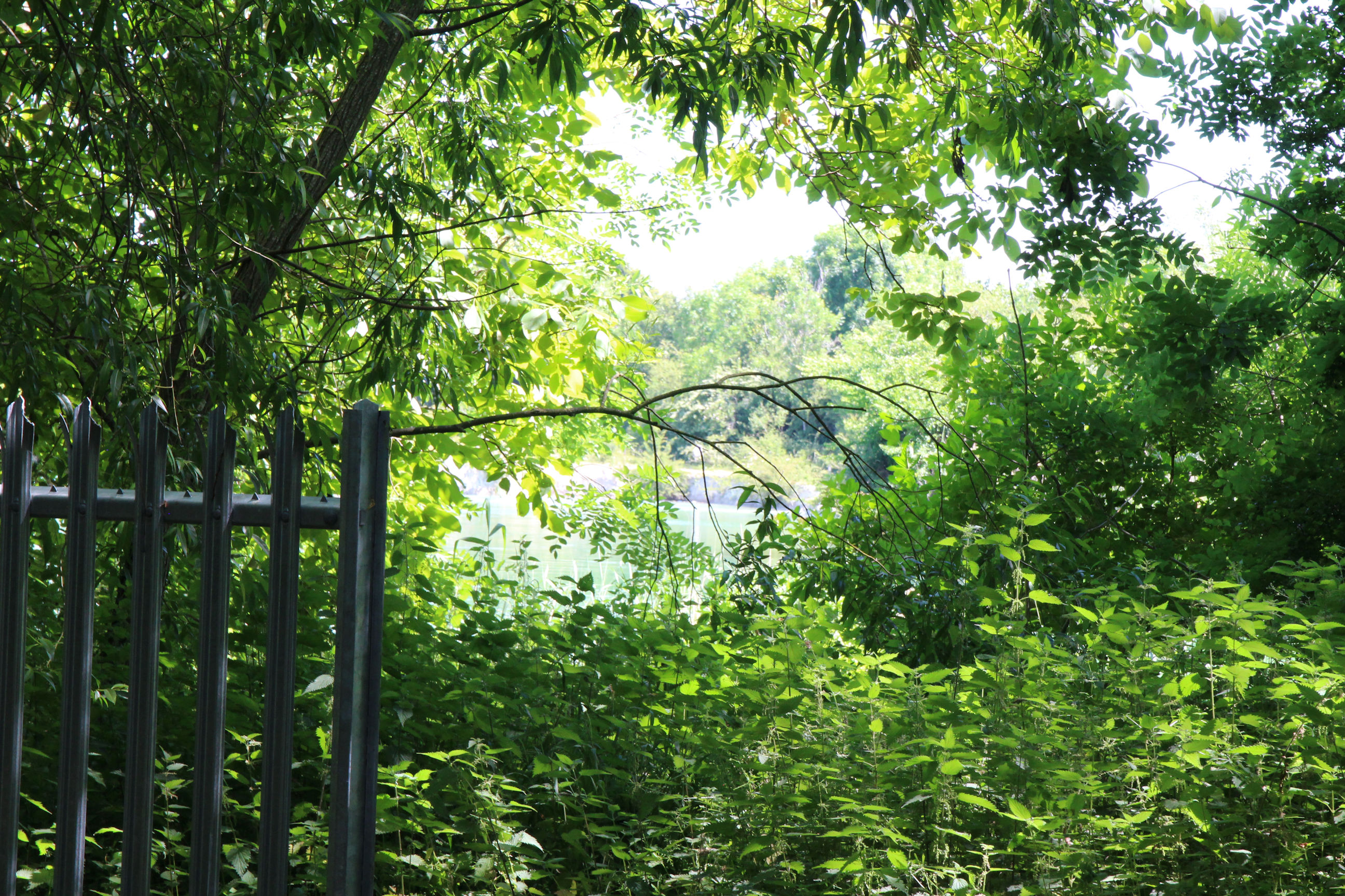
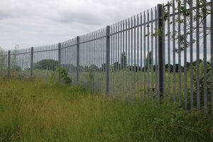
At least here I can clearly see Cherry Hinton Brook. The thick metal fence to the right encloses much of the West and East Lakes.
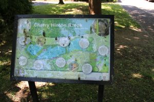
There’s an information sign about the brook here, similar to the one on Burnside. It could do with some spring-cleaning; I suspect the marks are the remains of bird droppings.

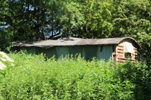
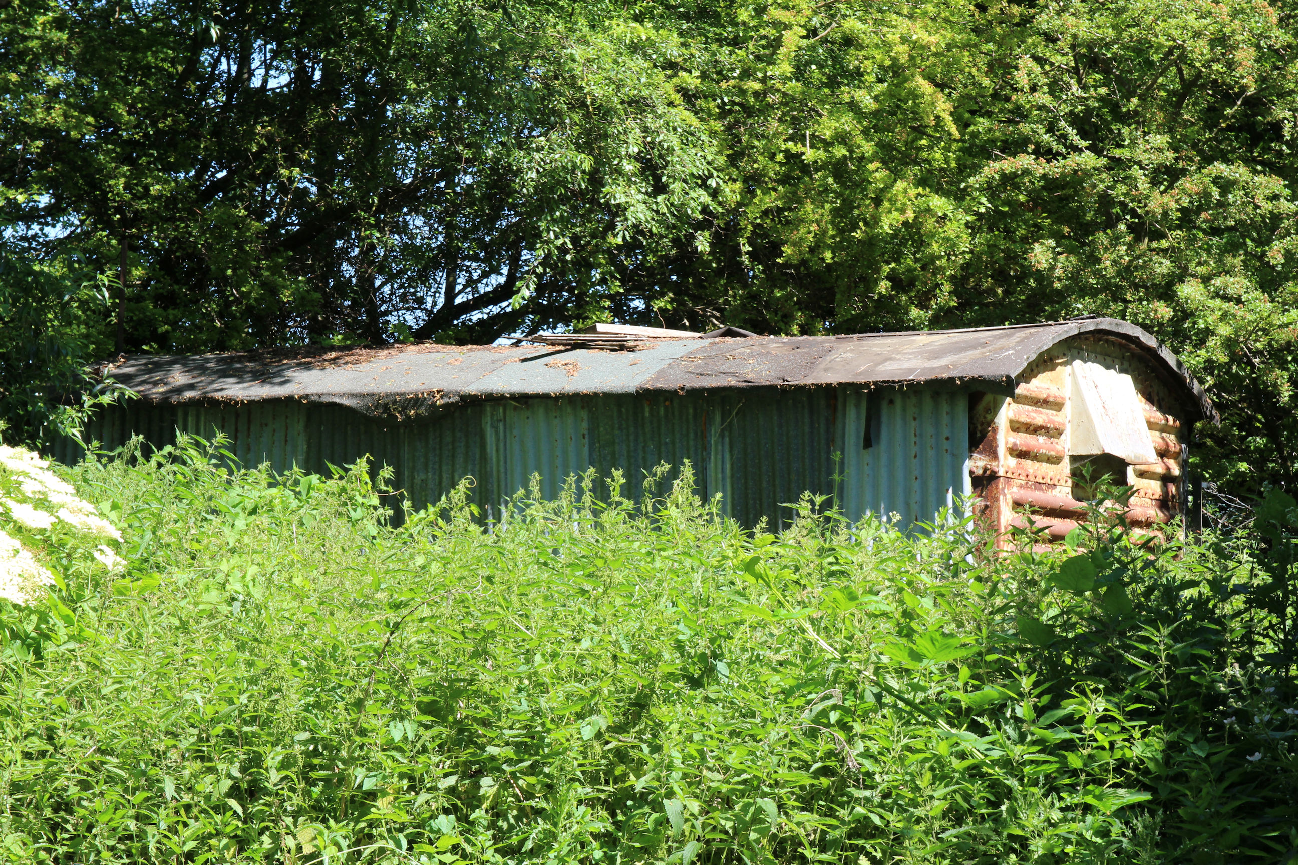
On the lake side further along a rusting corrugated iron hut can be seen. It looks as though it was originally a railway wagon. Walking along the Snakey Path here I don’t get to see the lakes any better than I did earlier. I don’t even notice where the gap between the East Lake and West Lake is, somewhere behind St Bede’s School playing field which is visible on the other side.
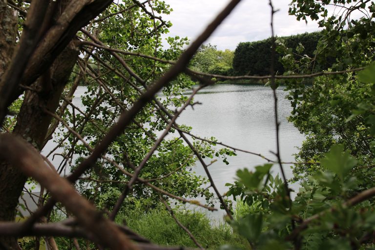
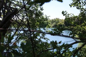
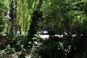
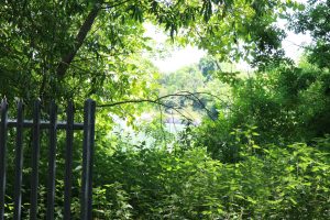
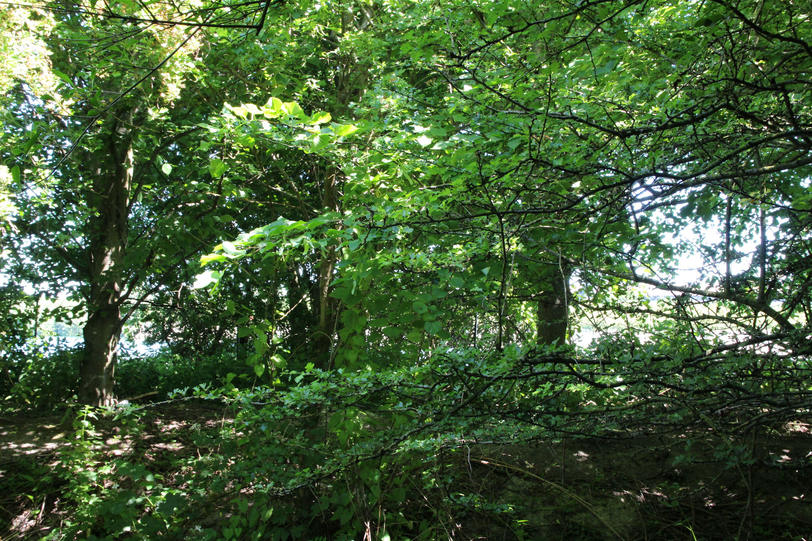
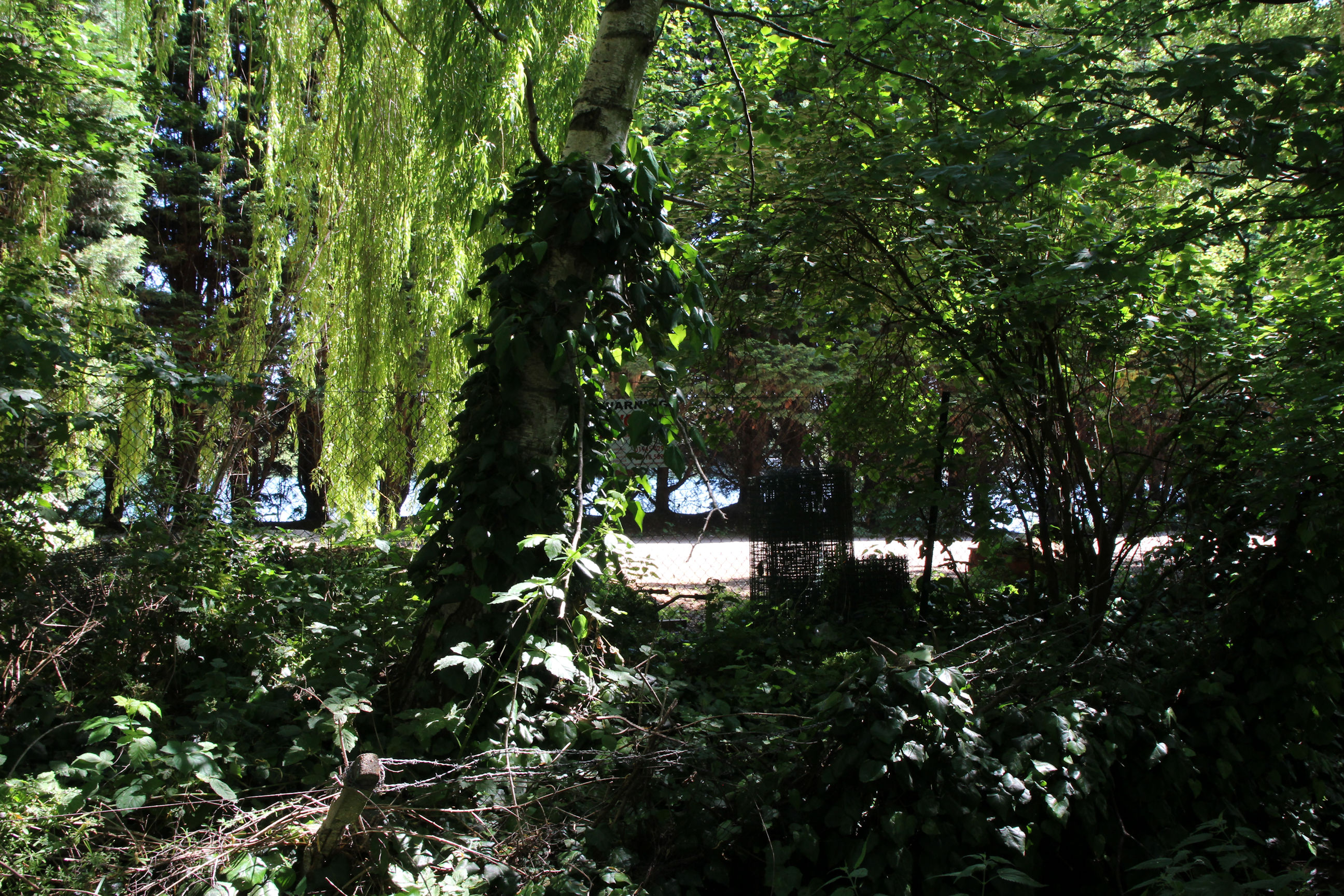
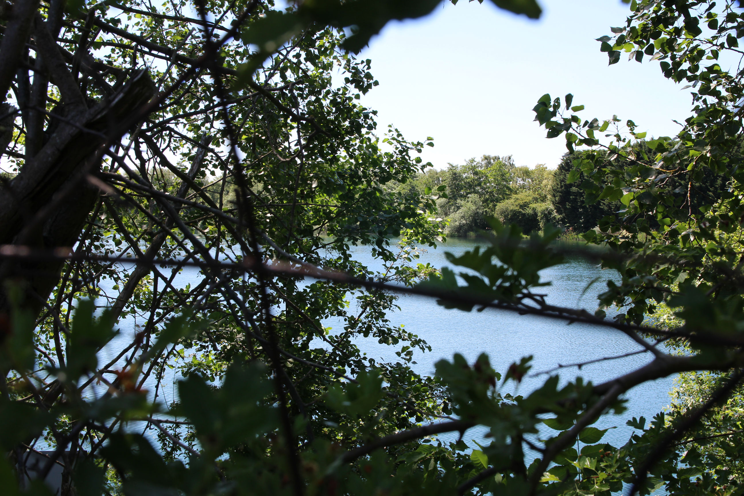
As I get towards Burnside I can get a glimpse of the West Lake through the trees.
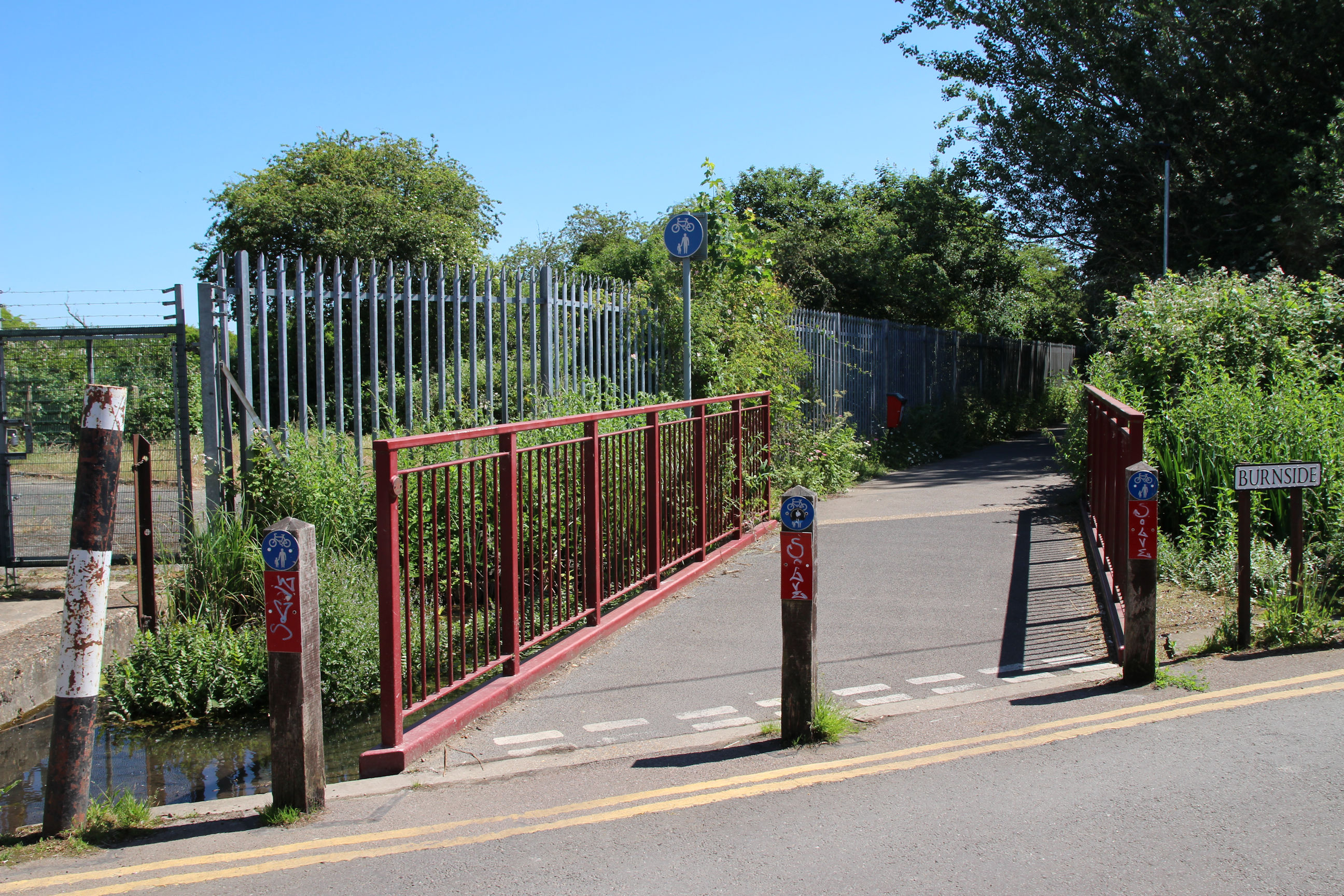
Burnside
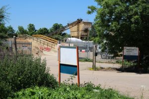
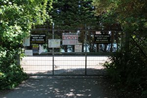
I’m now at the entrance to the lakes site, at the end of Budleigh Close – the remains of the old railway bridge over the brook. The site is only accessible to Anderson Group (the site owners) and the Cherry Hinton and District Angling Club, although there is recurring talk of other people breaking in and swimming or fishing in the lakes.
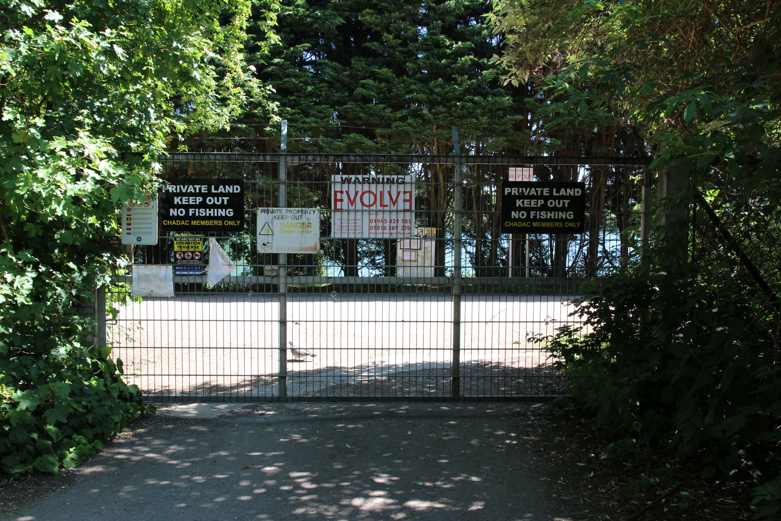
This is the most I can see of the West Lake at the site entrance. Here I bumped into a friendly Virgin Media engineer who’d worked in the area for ten years and wondered what it was: he didn’t know about the Chalk Pits and former cement works.
Walking along Burnside there are willow trees, but the view of the West Lake doesn’t improve.
The view looking back east along Burnside, with the overgrown Cherry Hinton Brook along the left side.
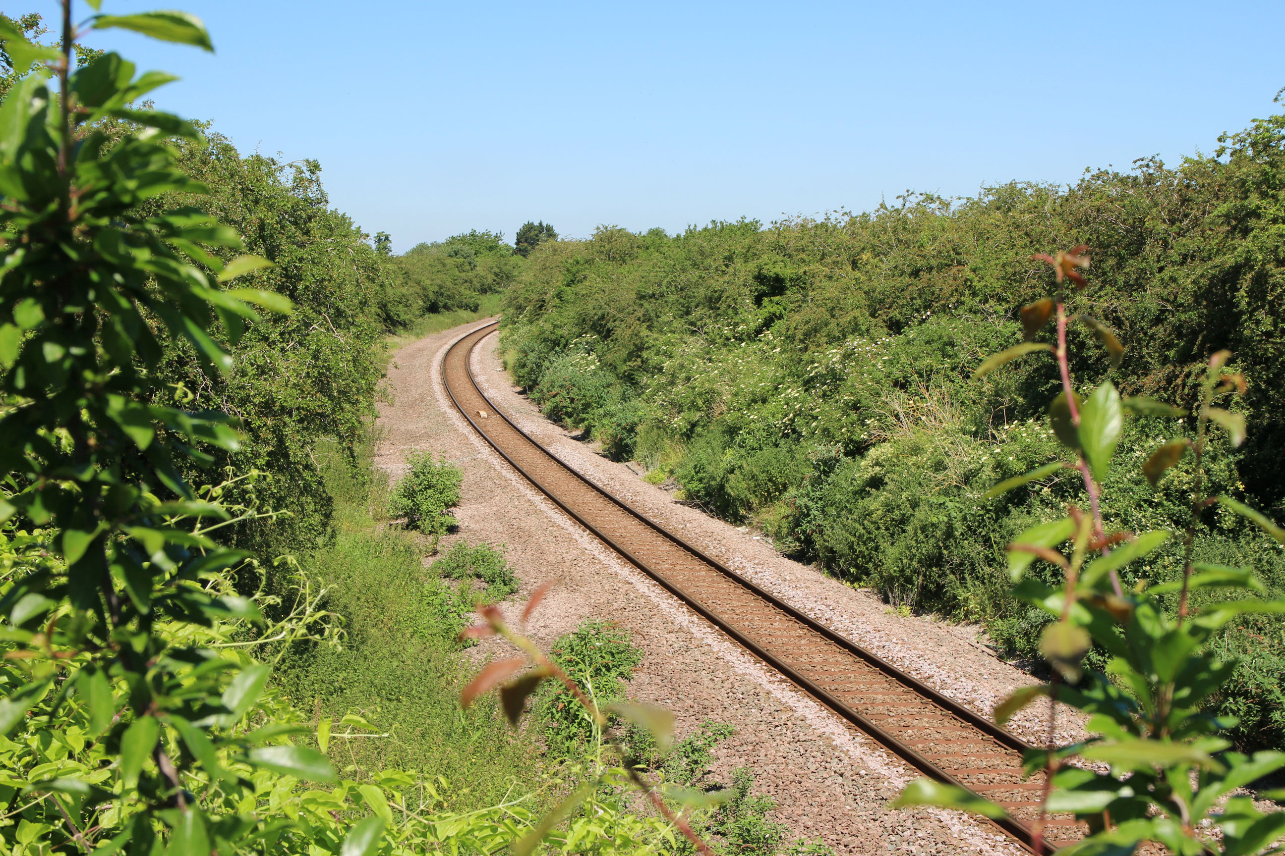
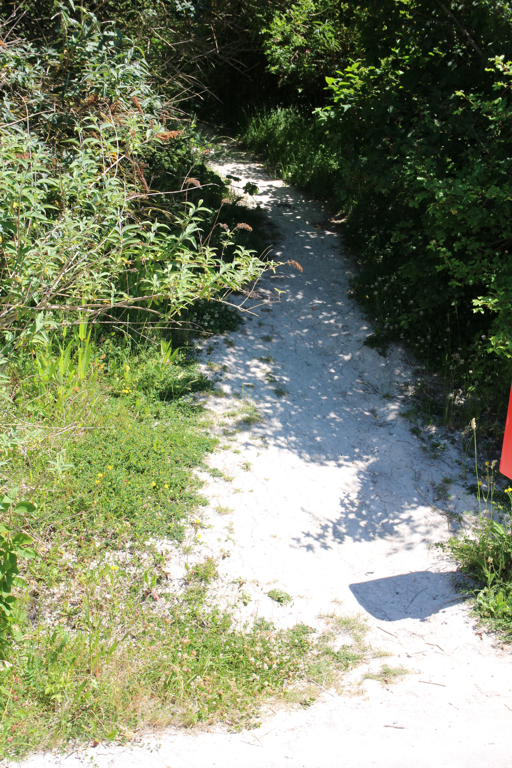
Tins Path
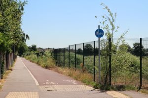
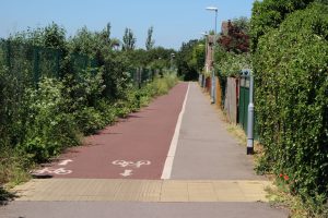
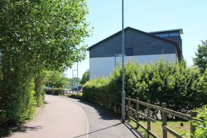
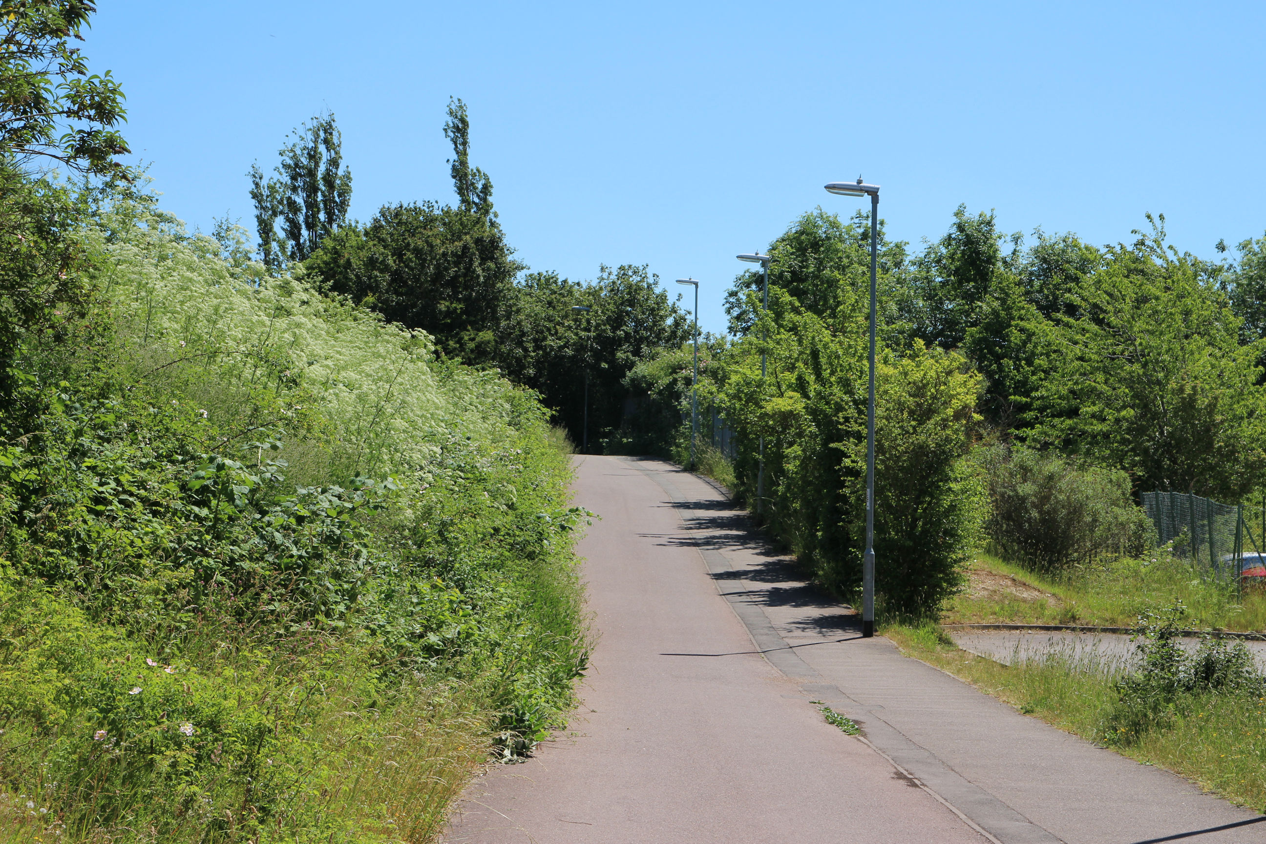
I’m now at the entrance to the Tins Path from Burnside. A back entrance to the Army Reserve Centre can be seen to the left. The Tins Path has been improved in recent years and is wide enough for pedestrians and cyclists to pass easily.
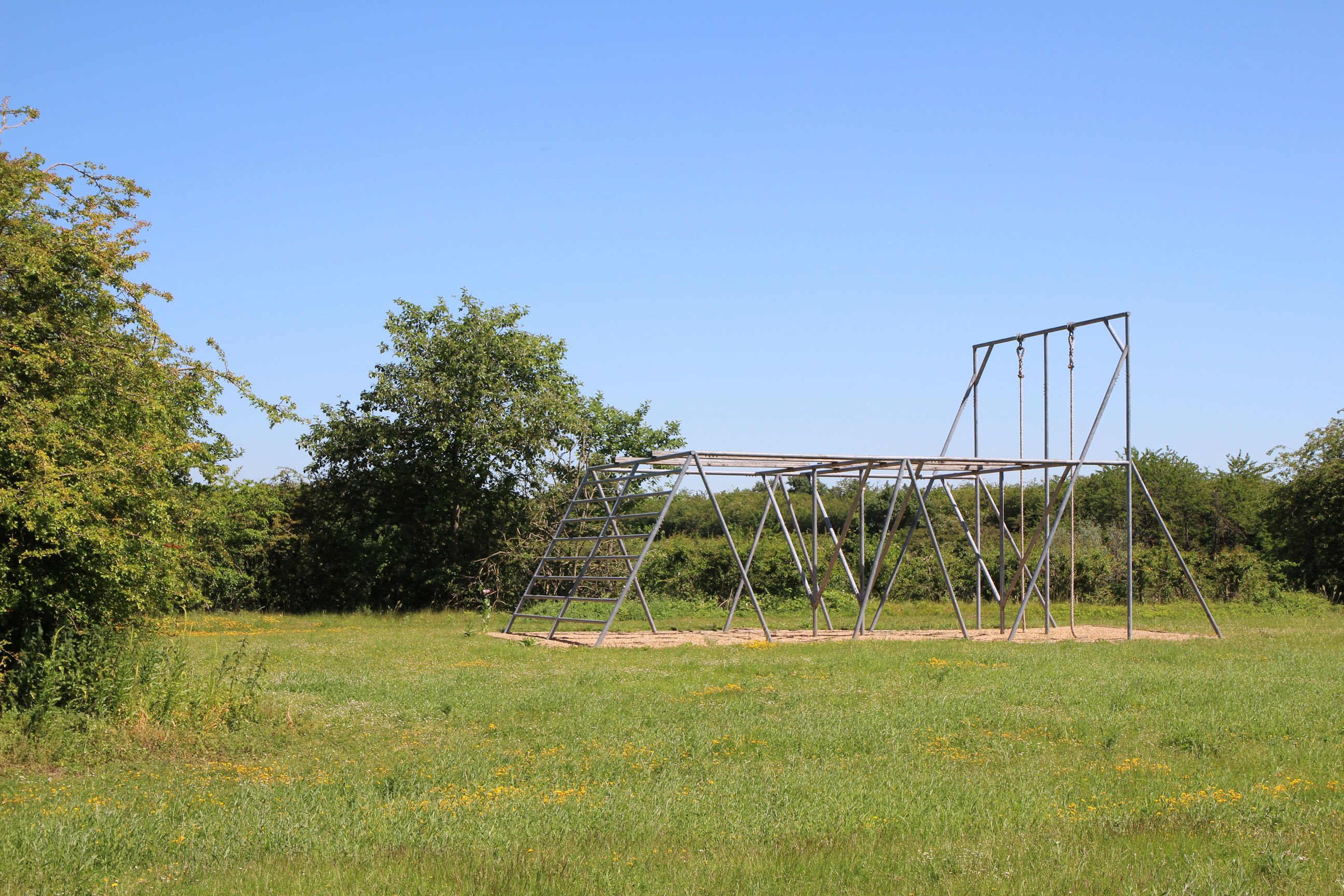
Army Reserve Training Ground
Most of the buildings on the Army Reserve Centre site are near the northwest entrance by Sainsbury’s, but there is one by the Tins Path.

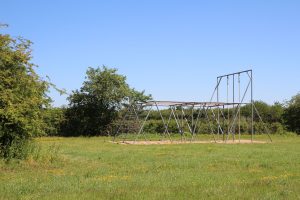
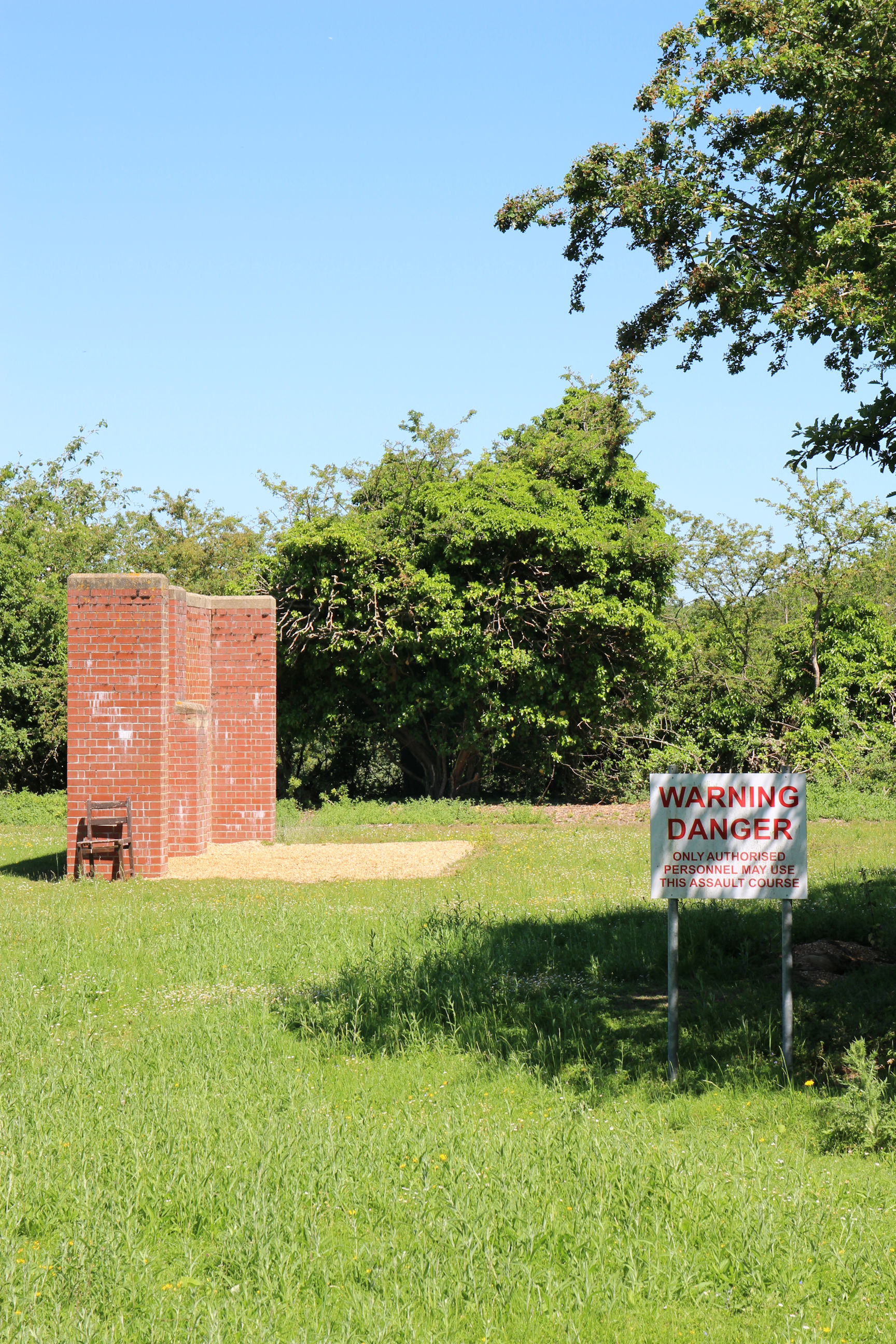
Along here there are various structures forming an assault course.
As with the lakes, there’s a Danger sign warning unauthorised people not to enter and use the assault course. Maybe it would be more of a deterrent if it warned that any trespassers caught by the drill sergeant who can’t complete it will be made to do 100 press-ups.
West Lake
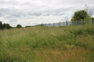
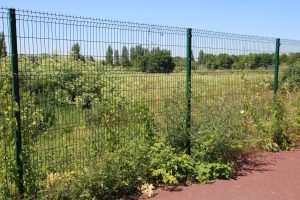
On entering the Tins Path, the West Lake can be seen a bit more clearly than from the Snakey Path, although it’s behind multiple layers of chain-link fencing.
Further away from Burnside it can be seen a bit more clearly.
This is the best view of it I managed to get on the day I did the main walk.

Returning on another, somewhat duller, day I got a slightly less obstructed view in more-or-less the same location. As far as viewing the lakes from the footpath goes, this is about as good as it gets at the moment.

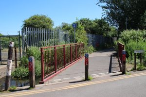
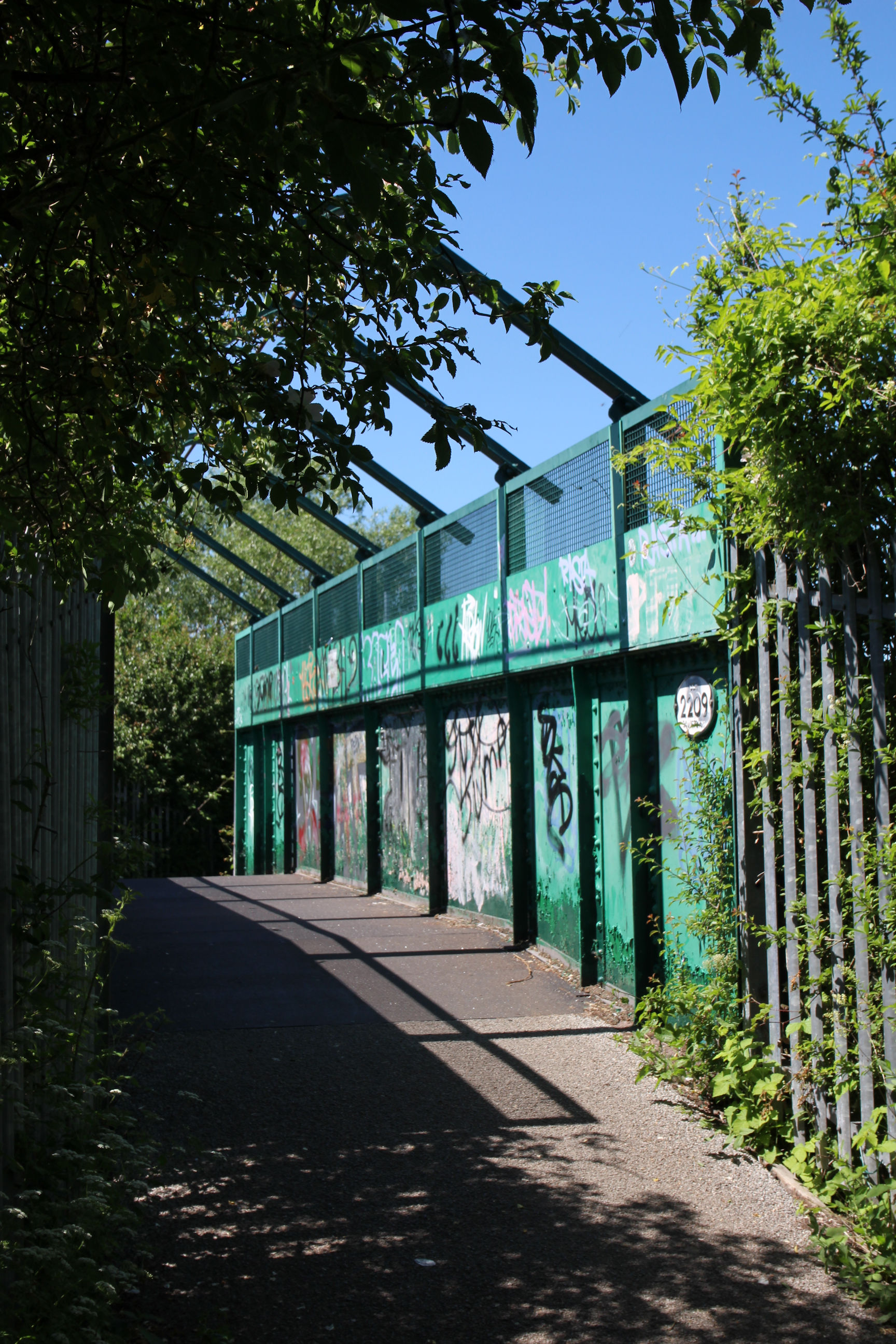
Railway Footbridge
I’m on the the railway footbridge looking back in the Coldham’s Lane direction. Parcel B is to the right but the vegetation blocks the view across it.
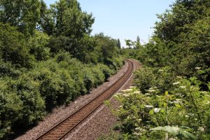
Similarly, looking along the line towards Cherry Hinton, the West Lake is to the right but again the overgrown vegetation blocks the view of it. I don’t think I’d have seen much more of the lakes from a train than I did from the Snakey Path.

The footbridge over the railway is not a pretty sight. It needs a fresh coat of paint, ideally all in one colour.
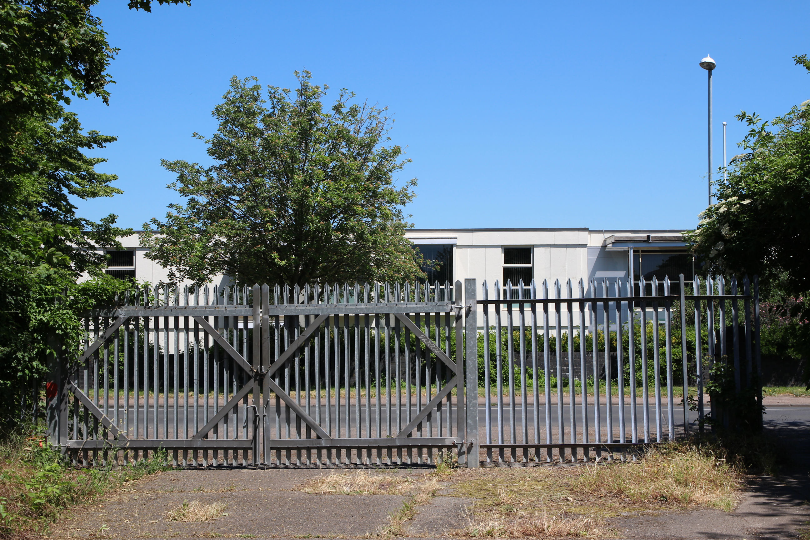
Former Norman Works Site
Tins Path Approach
Having crossed the railway, the Tins Path leads down towards the Holiday Inn.
Parcel B (Southeast Corner)
To the left of the path, metal fencing surrounding Parcel B can be seen at the top of the embankment. Someone who spotted me photographing this remarked “Beautiful colours”.
Near the southeast corner of Parcel B, there’s a rough pathway up the embankment. I can climb up here to get a better look at it.
By saying “climb” I give myself away as a long-term resident of Cambridge. If you want to go hill-walking in Cambridgeshire this is about as good as it gets. In west Wales they would say this path has a gentle slope.
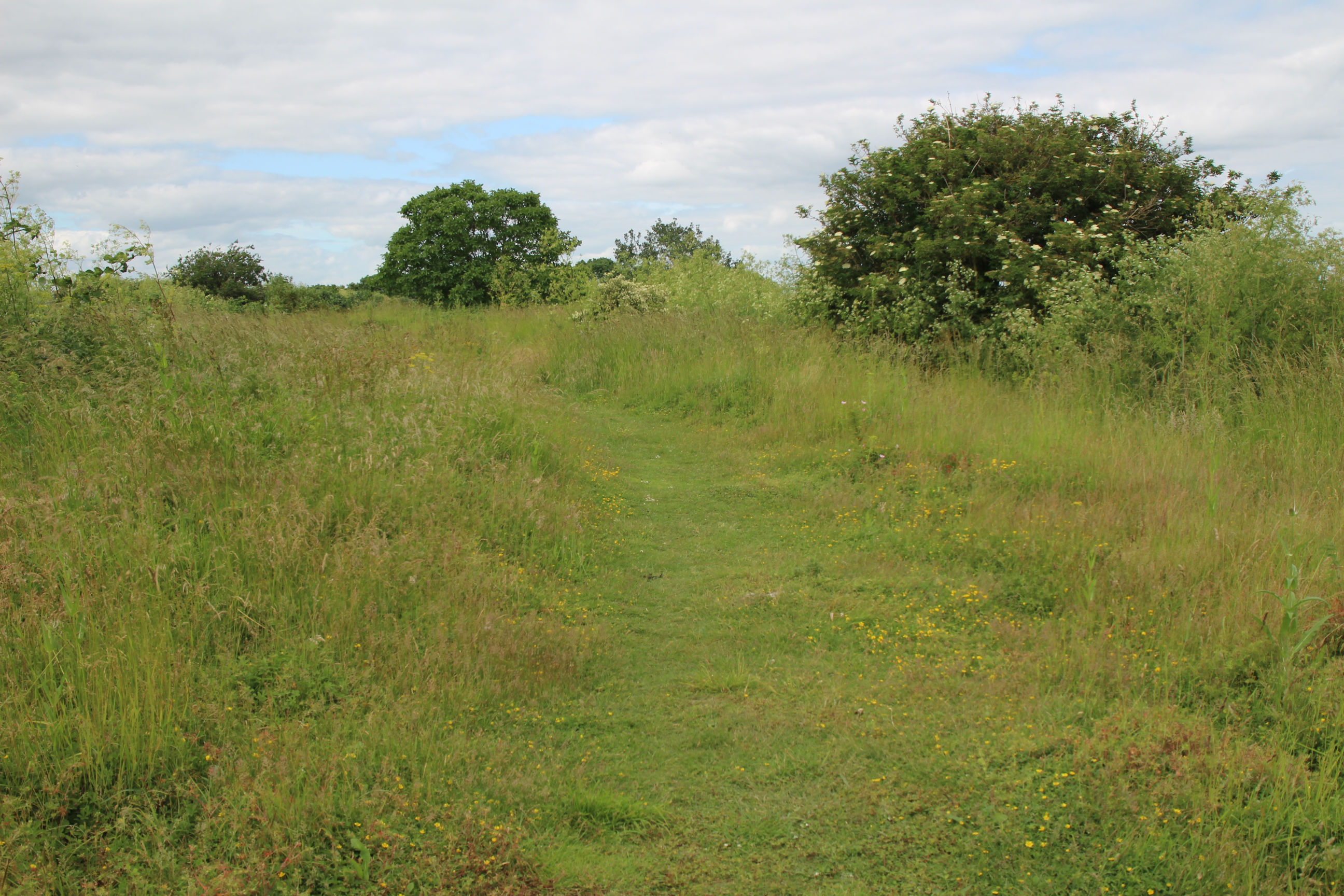
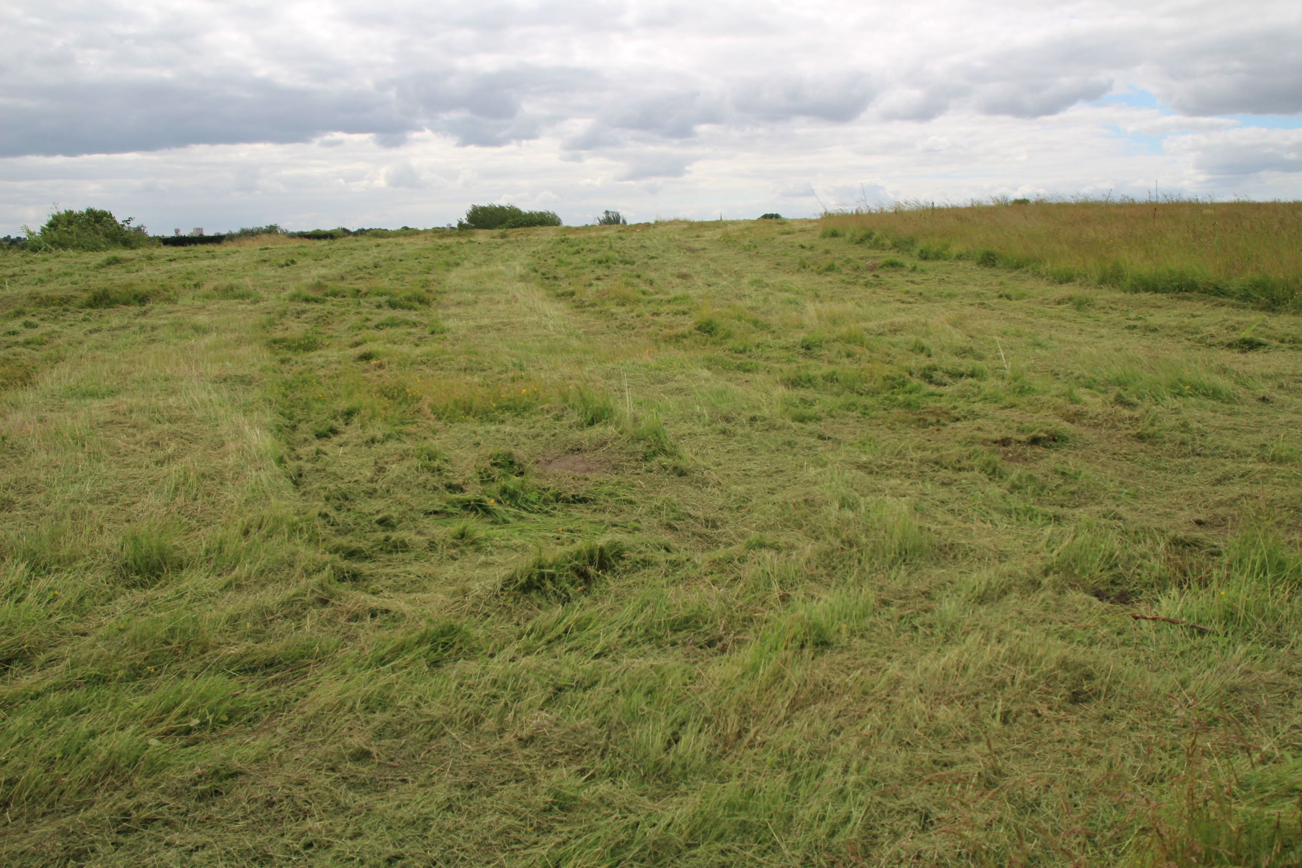
Once up the top, there’s long grass along the south side of Parcel B, which has clearly been walked a little. I’ll head along here first.

A short way along, the trodden-down grass comes to an end. I’m not suitably attired to blaze a trail through the long grass, and the site owners probably don’t want me doing that anyway, so I’ll turn round here.

This is the view of Parcel B through the fence in the previous photo, at the end of the walk along its south side. Now I’ll head back to the corner.
Along the east side of Parcel B (which is to the left), there’s a wide, more well-trodden path northwards towards Coldham’s Lane.
Here’s Parcel B photographed through the metal fence on its east side. The Holiday Inn can just be seen at the far left.

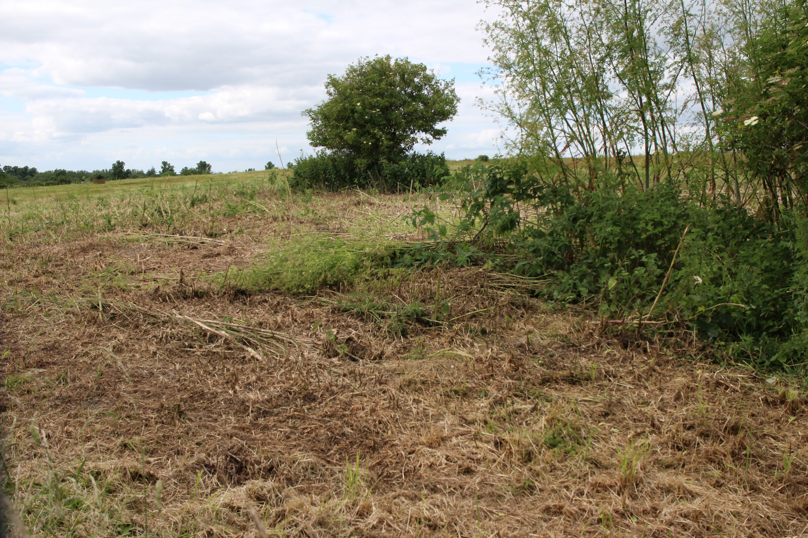
Looking to the right a bit further on from the previous photo, this part has been mown down a bit. People have objected to clearing of vegetation on these areas, but they need to bear in mind they’re landfills not pristine wildflower meadows. The site owner may need to keep them mown to monitor for contamination or landfill gas.
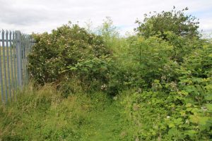
The path up the east side of Parcel B is brought to an abrupt end here by thick vegetation. I’ll head back down to Norman Way now.
Norman Way
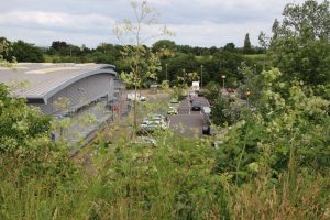
On the opposite side of the path from Parcel B, there are views over the roofs of the existing warehouses built in the unfilled pit. Parcel A North can be seen in the background.
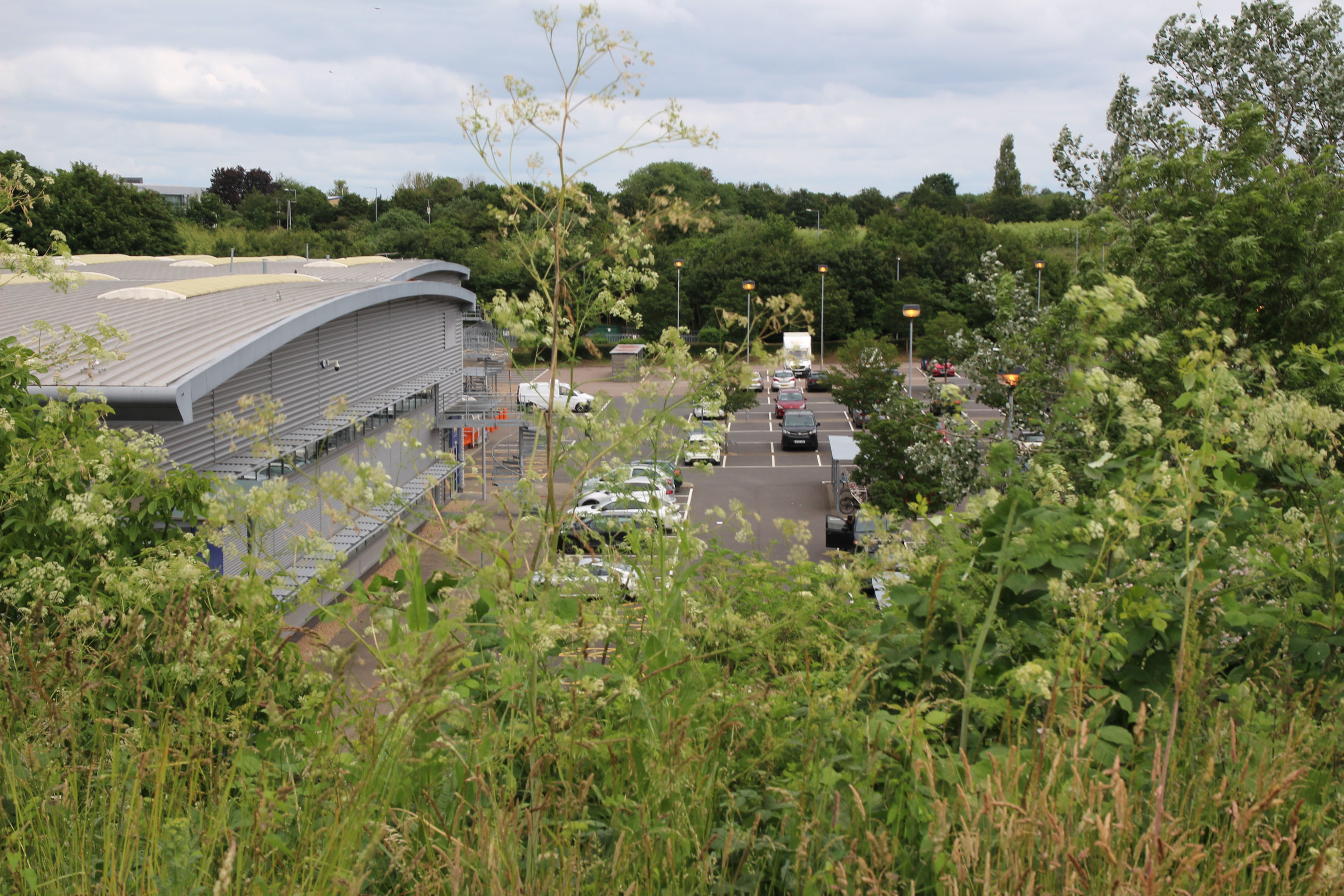
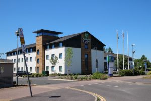
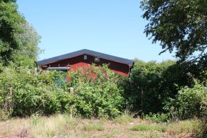
I’m now back on the footpath through the former Norman Works site. This is the view of Norman Way looking northwest from the Holiday Inn Express. The dip in which the warehouses are built can clearly be seen: “Natural” Cambridge is much flatter than this.

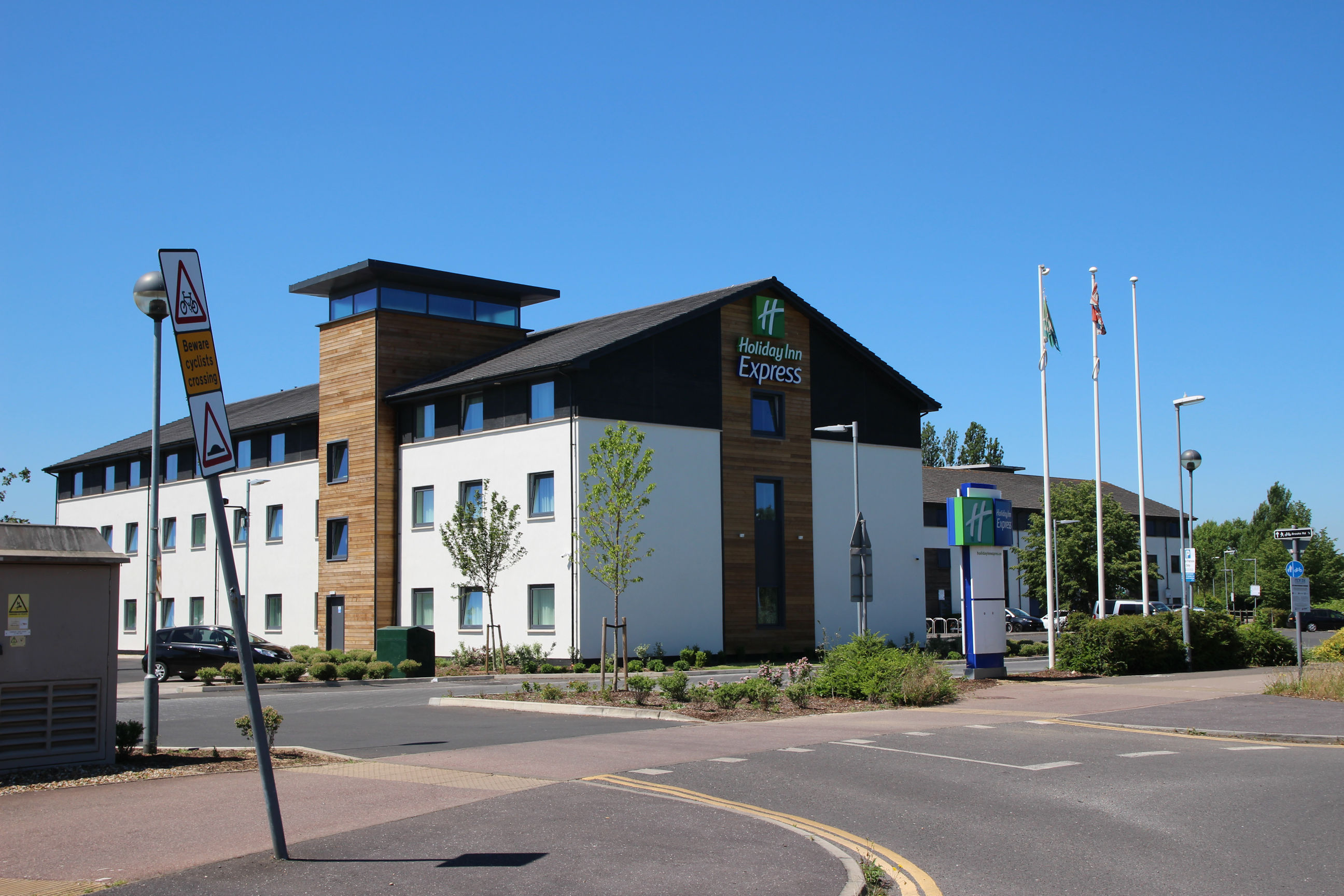
Here’s the Holiday Inn Express viewed from about the same location. The sign says to beware of cyclists. It looks as though it needs to say beware of falling signs.
Parcel A North (West Side)
On the east side of Norman Way they’ve mown the part of the embankment that isn’t mountainous (in Cambridgeshire terms), or is roughly level (in west Wales terms). Up the top of here is the west side of Parcel A North.
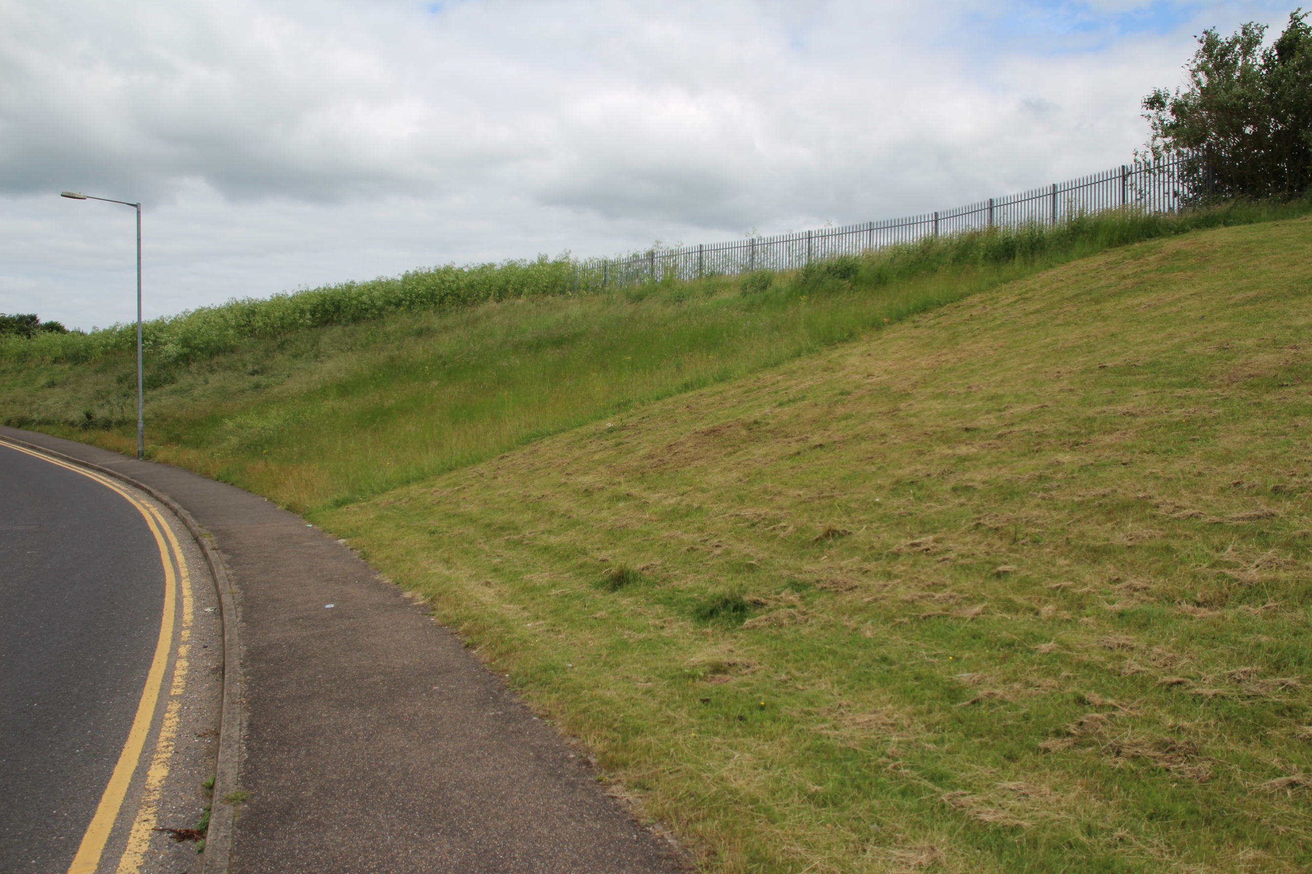
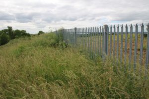
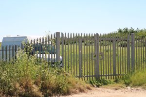
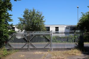
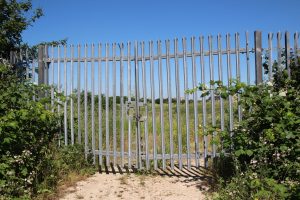
The Parcel A landfills have similar metal fencing around them to Parcel B.

This is the view through the fence looking east across Parcel A North towards Kathleen Elliot Way.
Exit to Cherry Hinton Footpath
The path through the former Norman Works site continues eastwards alongside the David Lloyd club.
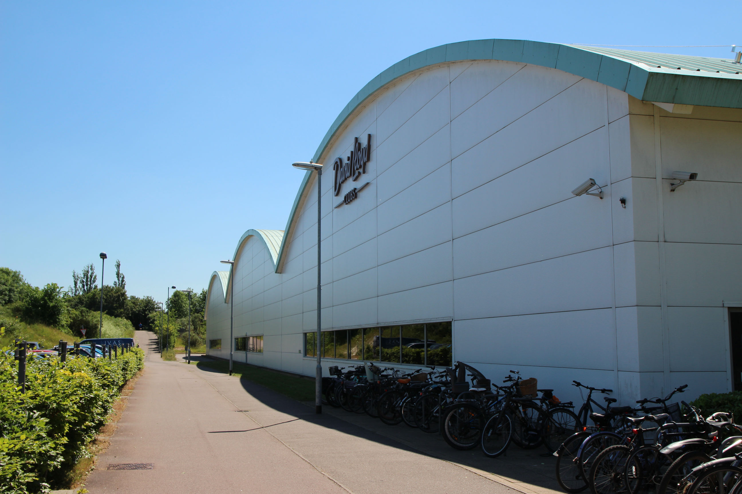
Further on, to the right of this path the David Lloyd club has erected an open-sided outdoor marquee for fitness classes during lockdown restrictions. To the left Parcel A North is hidden by the vegetation.
Where the footpath passes between the Parcel A North and South pits, nothing much can be seen of either.
Parcel A North (East Side)
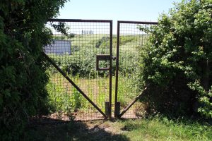
At the southeast corner of Parcel A North, just off the footpath, there’s a gated entrance.

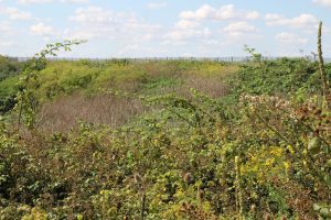
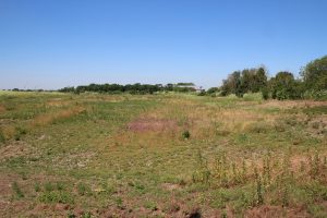
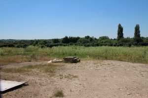
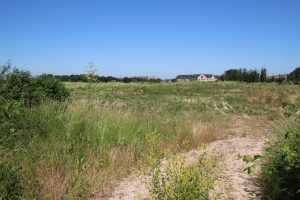
This is the view across Parcel A North towards Coldham’s Lane. Compared with Parcel B, the vegetation is more scrubby with bare patches of rubble-like soil and blue tubes sticking out of the ground.

There’s an open driveway up the east side from here towards Coldham’s Lane.

Behind the playground, the driveway turns away from the fence to run closer to Kathleen Elliot Way.
Here’s the view looking west across Parcel A North towards Norman Way, photographed through the last part of the fence that is alongside the driveway.
I’ve now reached the Coldham’s Lane entrance to the driveway. This is currently the only means of vehicle access to Parcel A South, illustrated later.
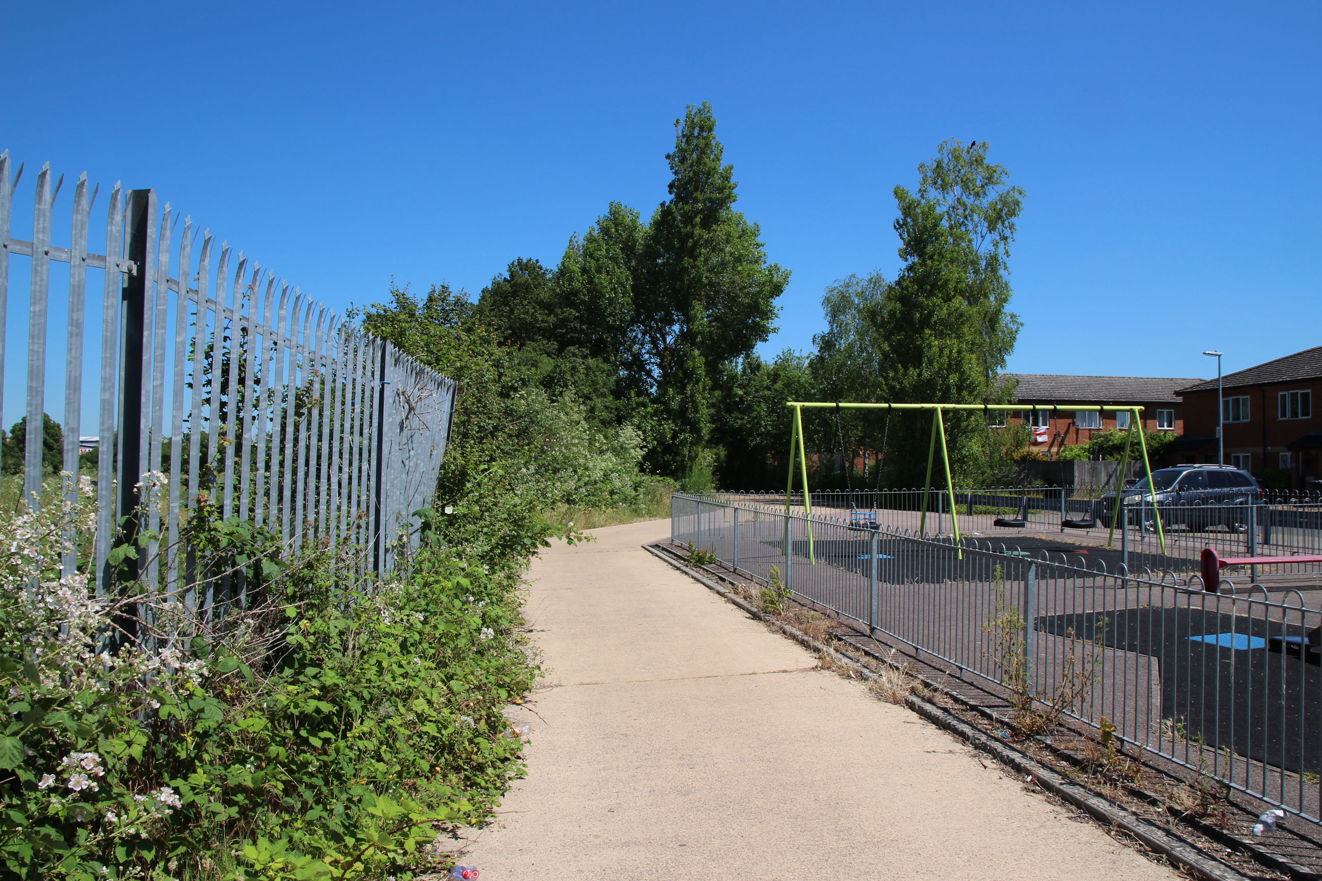
Kathleen Elliot Way
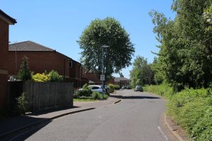
I’m now heading back down towards the Cherry Hinton footpath along Kathleen Elliot Way.
This is a view back up Kathleen Elliot Way from near the footpath end.

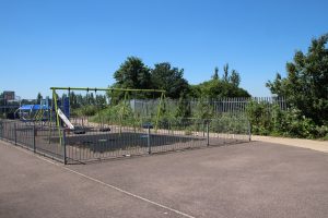
Behind the playground, Parcel A North and the driveway alongside it can be seen.
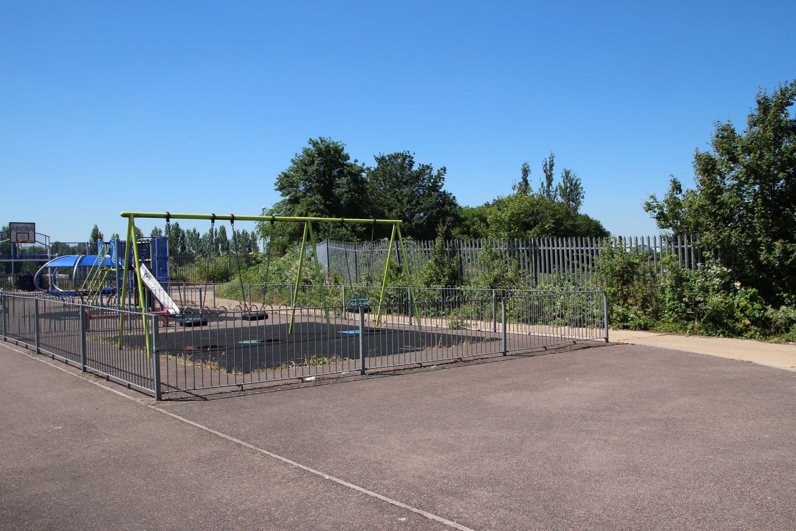
According to Google Maps this playground is called Prizon Park. Viewed from this side it looks as though it should be called Prison Park.
Cherry Hinton Footpath
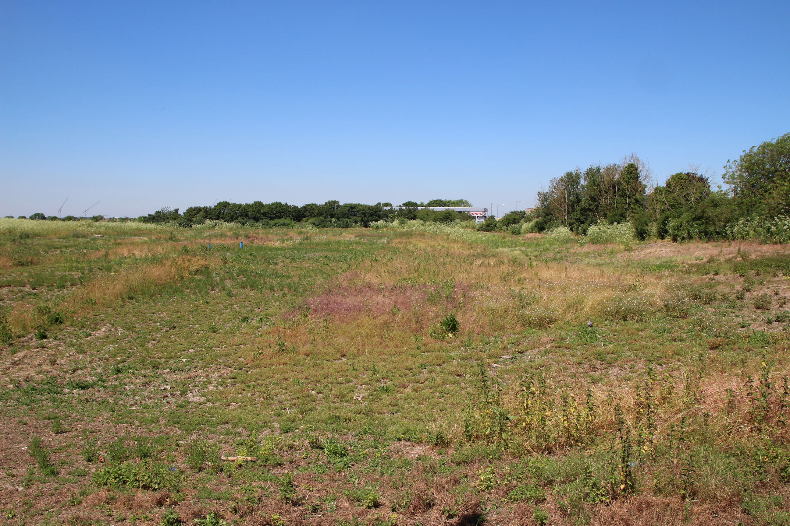
Parcel A South
Directly opposite the Parcel A North entrance, on the south side of the footpath, there’s a similar entrance to Parcel A South.
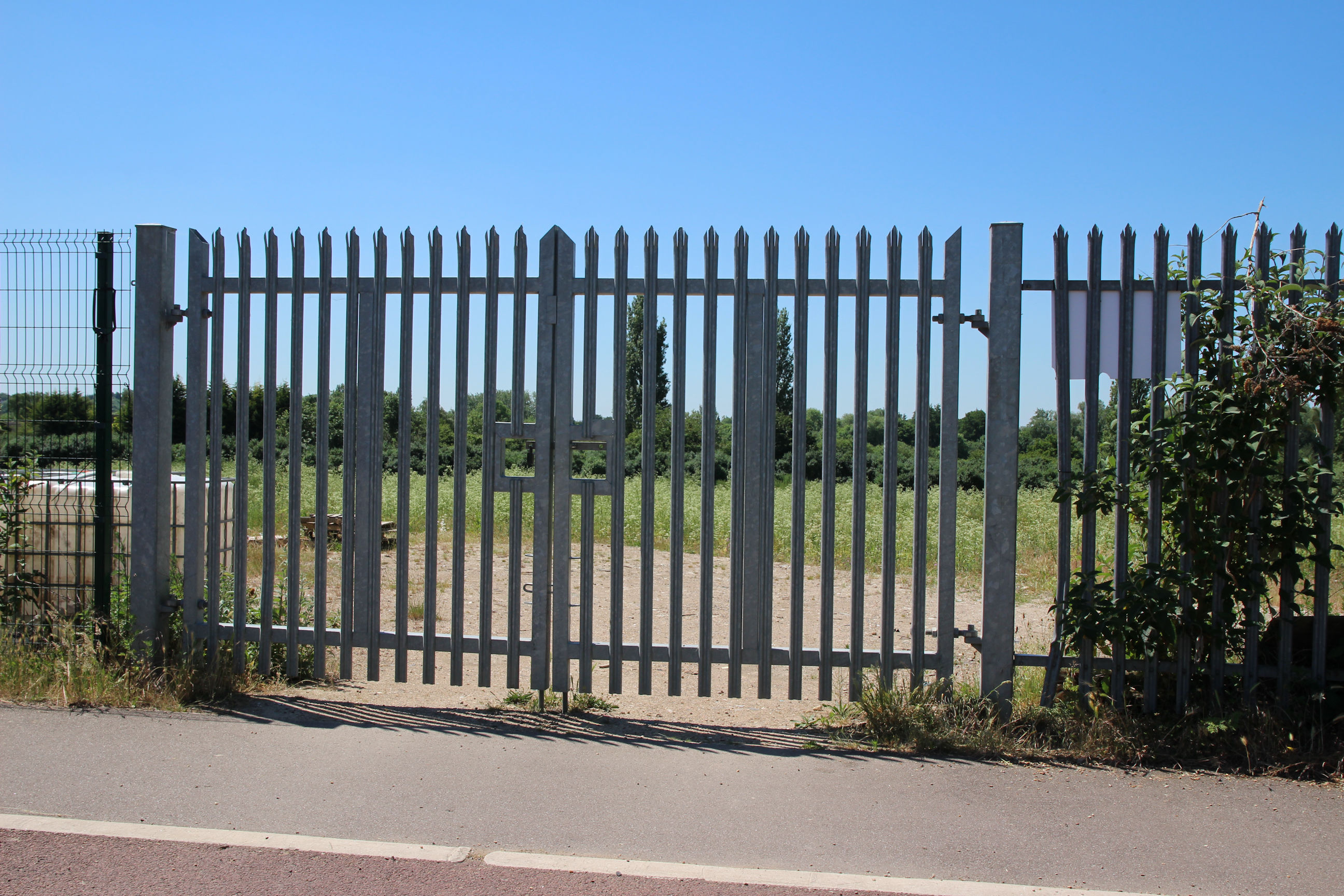
This is the view through the entrance gates. Just inside the entrance is a large bare area.

The footpath and cycle path heads east towards Cherry Hinton. It appears this has been a public right of way since long before the Chalk Pits were quarried – I believe I’ve seen it on a Victorian map.
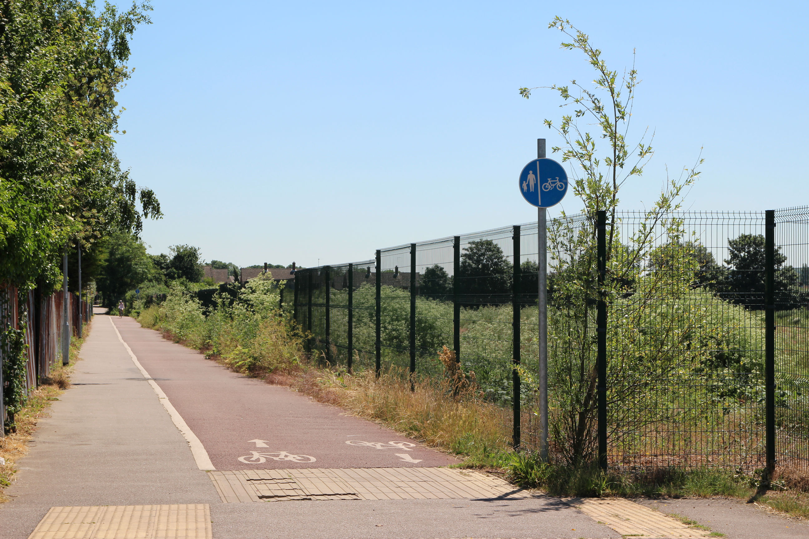
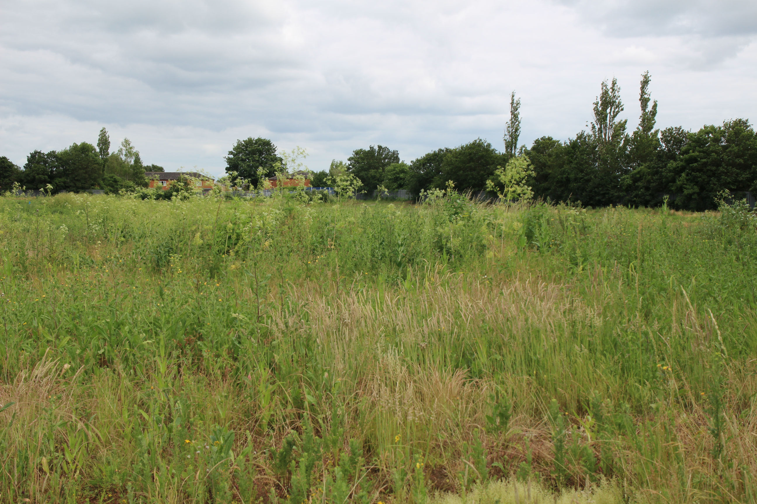
Along part of the footpath, Parcel A is clearly visible as the vegetation on its perimeter is relatively thin.
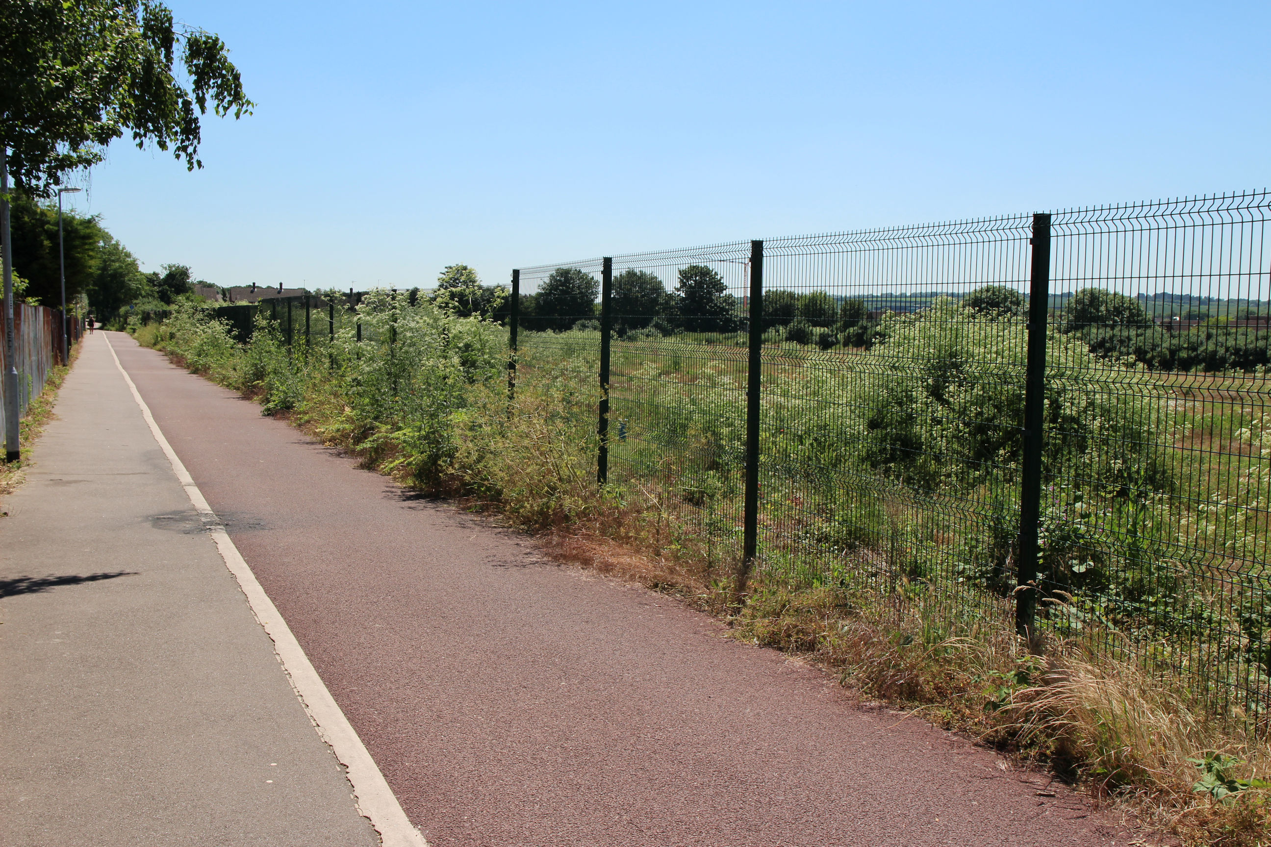
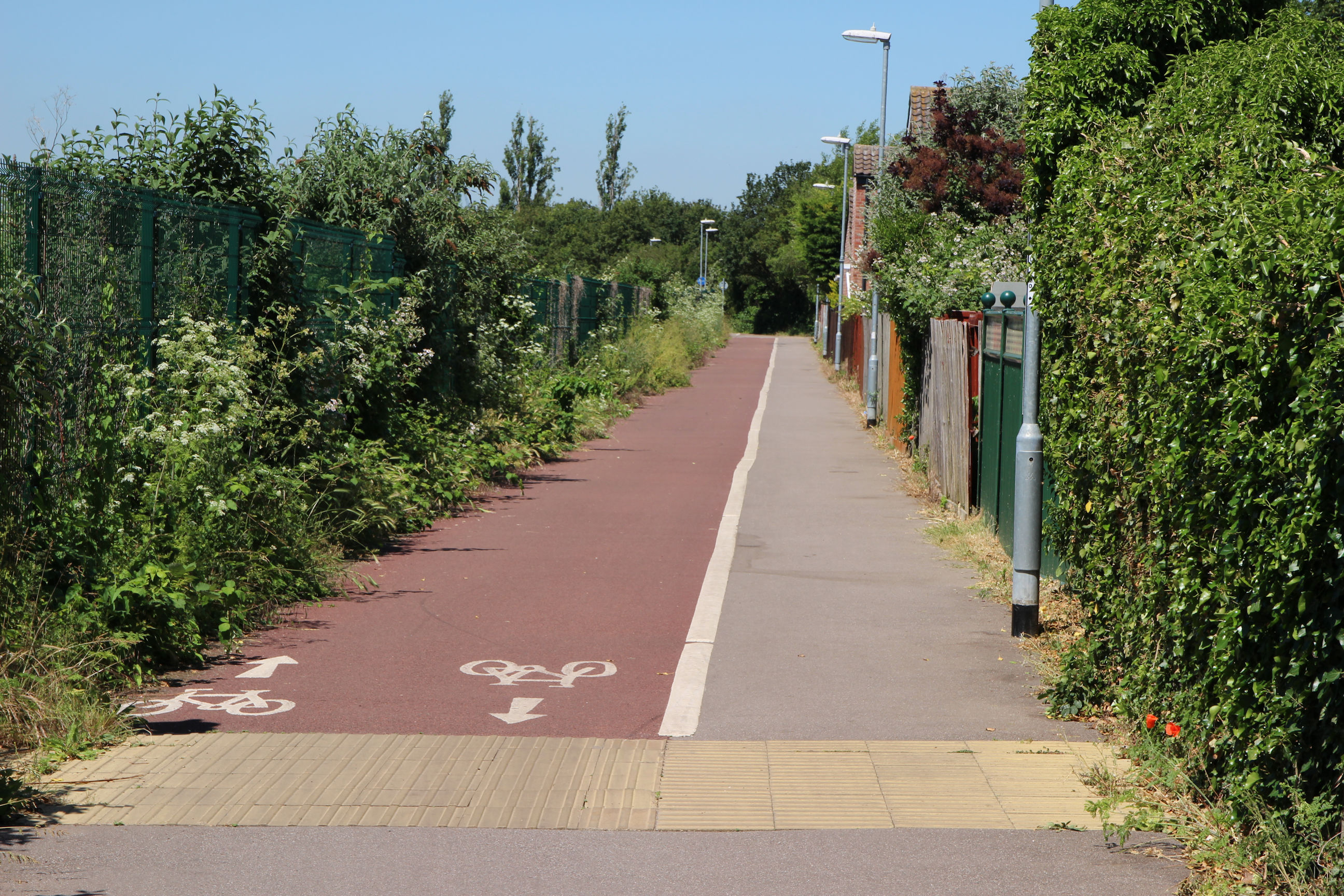
Further along the vegetation is thicker and less can be seen. Here I’m close to the footpath through to Wolsey Way.

Here I’ve reached the point where the red-surfaced cycle path ends, at the southern end of Wolsey Way. By now the vegetation is so thick I can’t see Parcel A South anymore, so I’ll turn back to go up to Coldham’s Lane via Wolsey Way.
Wolsey Way
From the Cherry Hinton footpath I’ll head up this footpath through to Wolsey Way.
I’m now on Coldham’s Lane at the entrance to Wolsey Way.
Coldham’s Lane
North Side
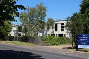
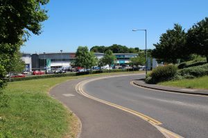
Along this stretch of the north side of Coldham’s Lane there are industrial units. There’s one to let here.

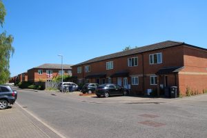
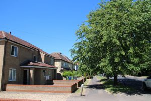
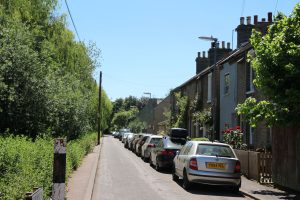
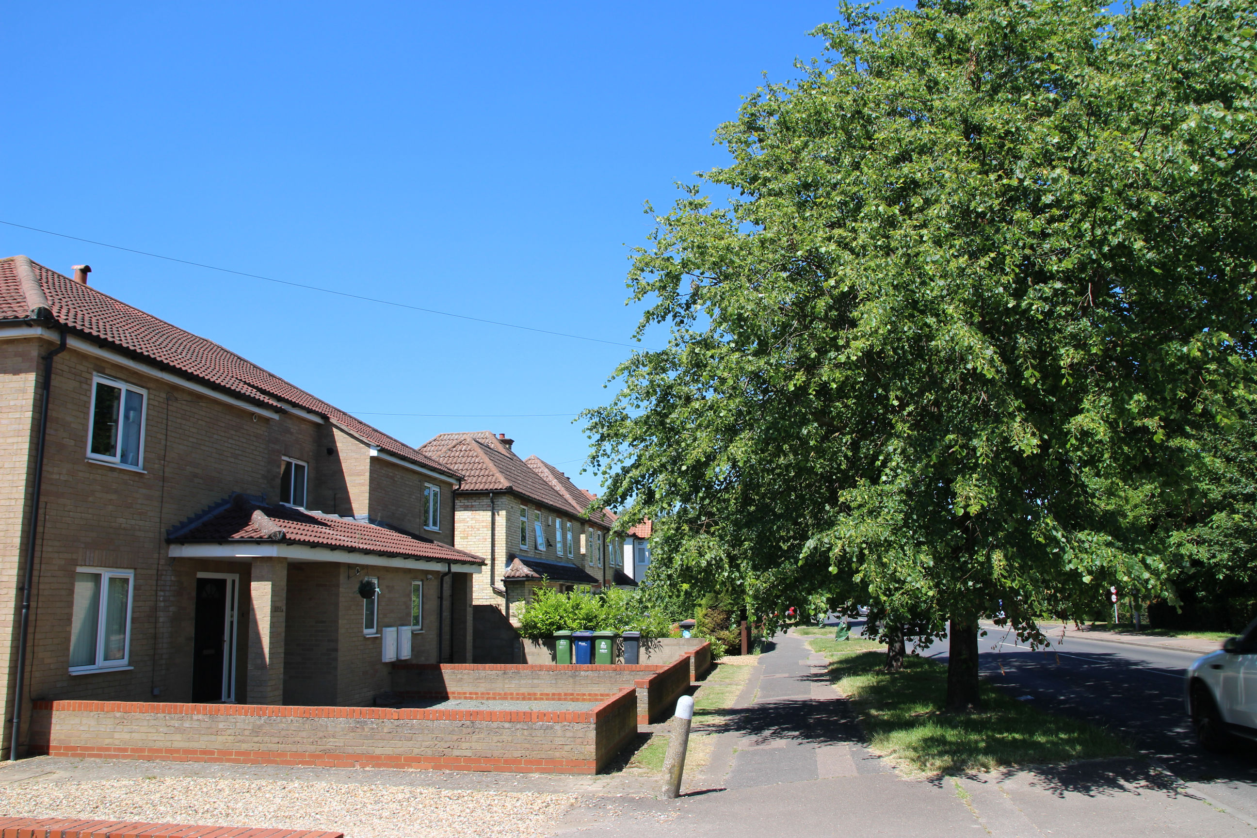
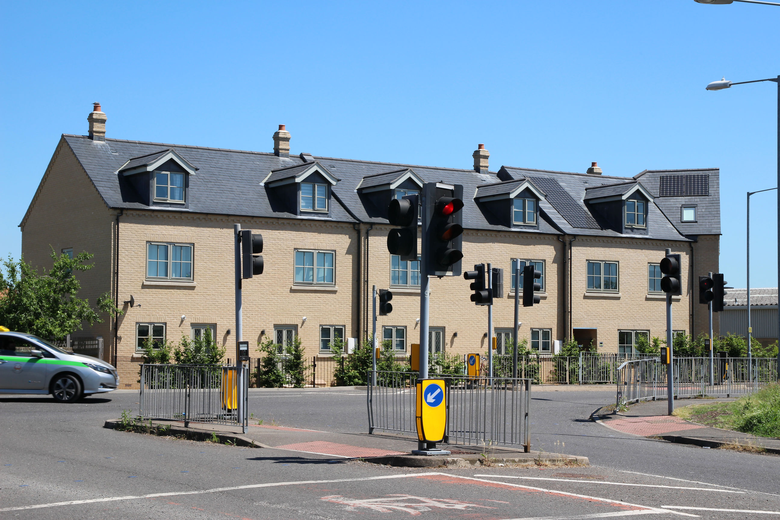
Further back along Coldham’s Lane towards Norman Way there are residential developments, including this Victorian-style terrace with chimneys, dormers and a diagonal corner. I don’t think the Victorians did Juliet balconies – I think those were a later import from Continental Europe.
Norman Way Entrance
I’ve now reached the Coldham’s Lane end of Norman Way.
The billboards at the entrance advertise one of the existing warehouses. Objectors to the planning application will use this to say that more aren’t needed on Parcel A.
Here the descent into the low-lying warehouse site can be seen again. To the left is the embankment beside Parcel A North – which was barely visible from Coldham’s Lane as I walked along the stretch bordering it.

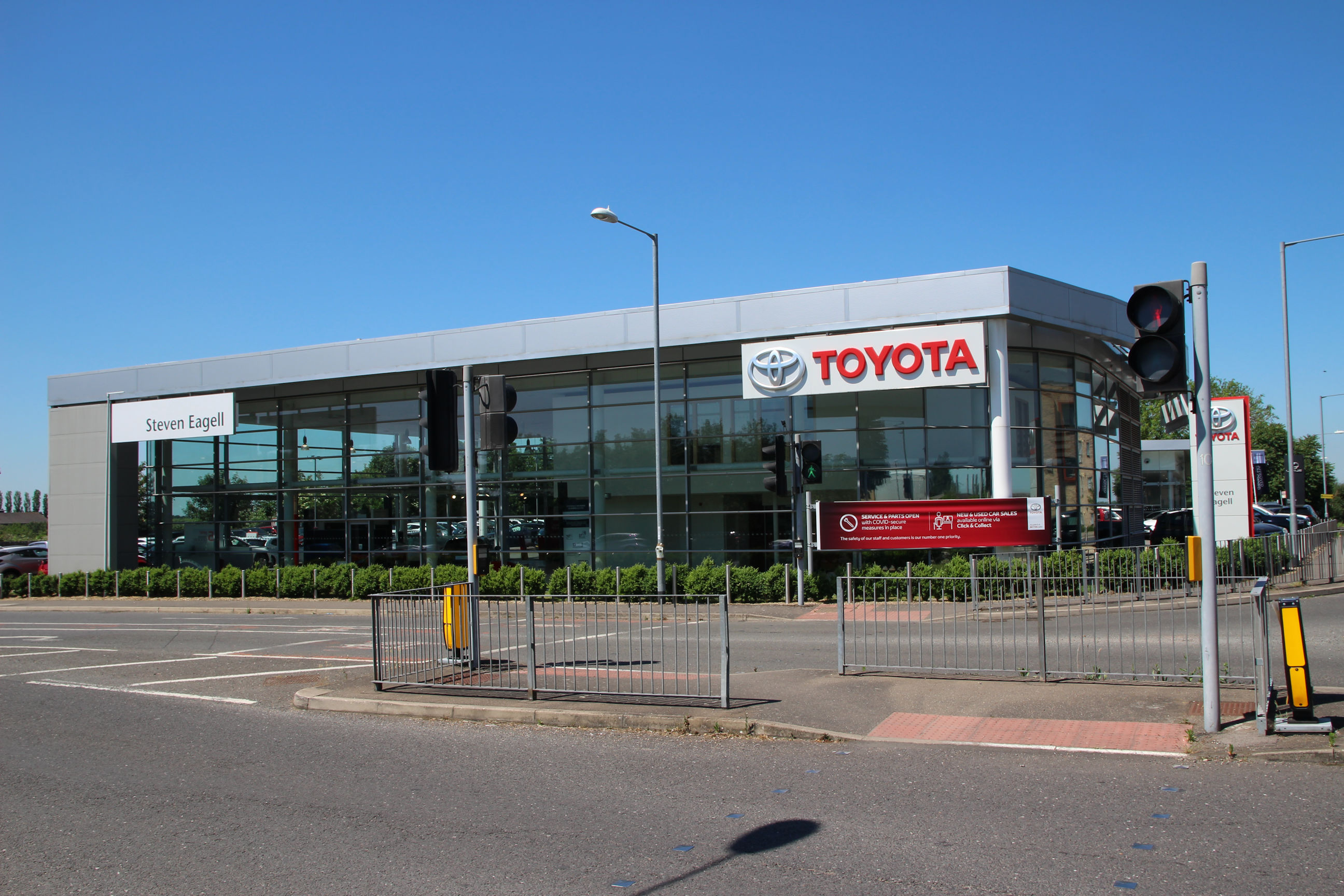
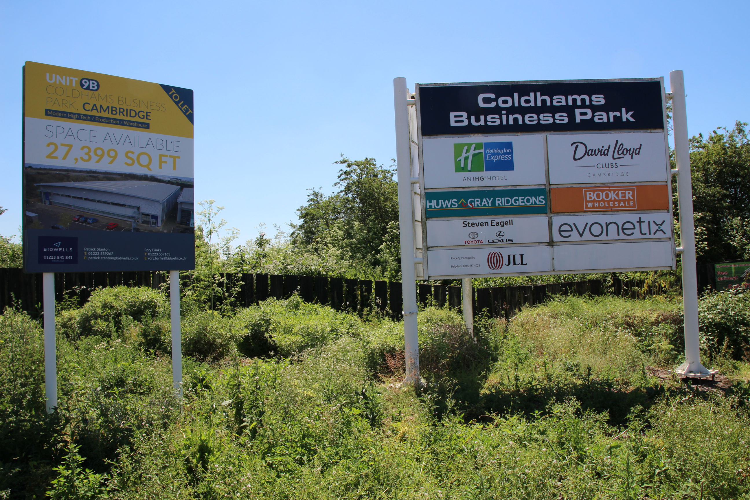
This is the Huws Gray successor to the redeveloped Ridgeon’s site on Cromwell Road. They also have another site in Nuffield Road.

North Side (Continued)
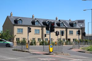
The exit from Norman Way is a little forest of traffic lights and pelicans. As someone with poor eyesight, I much prefer the newer type with the red and green man above the button (where these have a dim “PLEASE WAIT” indicator) rather than on the opposite side of the road. That would reduce the clutter here. Officially those are called Puffin crossings, but I don’t think that’s really caught on – PELICAN as an almost-contraction of PEdestrian LIght CONtrol makes more sense.
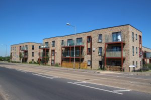
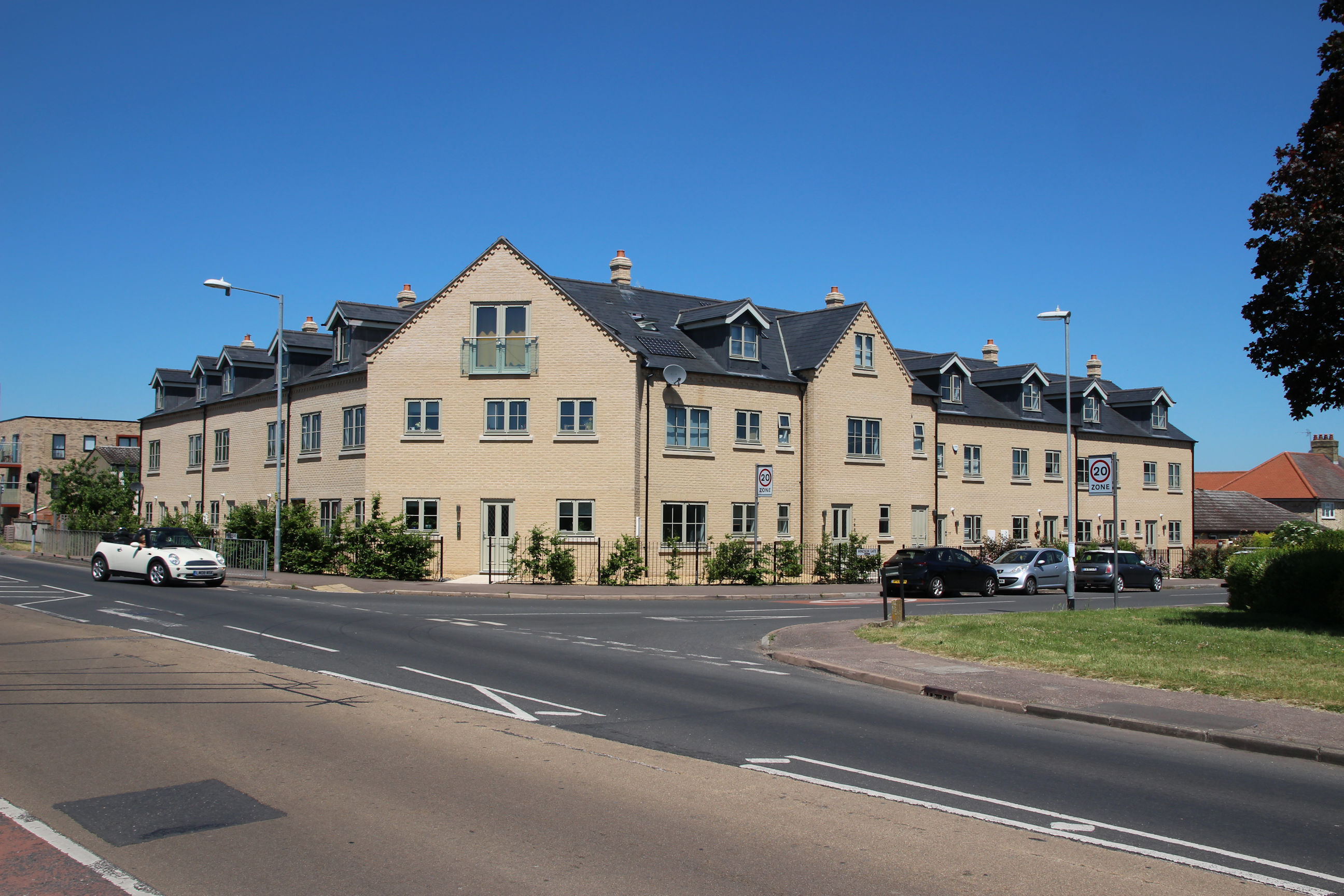
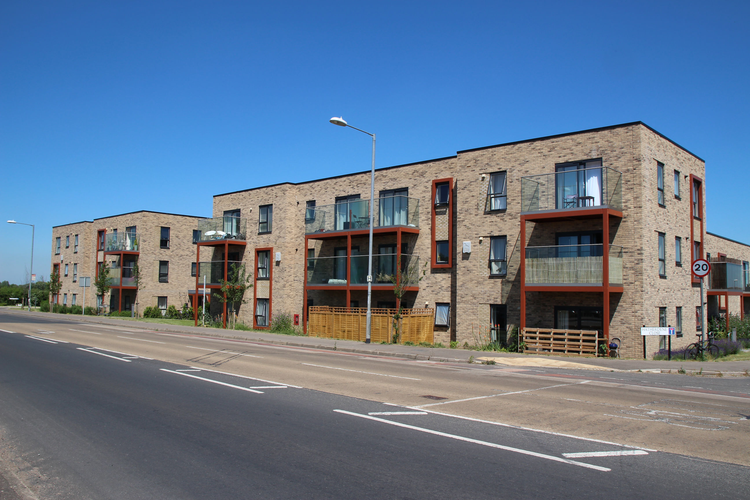
Right next to the Victorian-style terrace is this block of flats in a modern, more Brutalist style, and darker brick. There doesn’t seem to be any coherent planning strategy to the developments here.
Parcel B (East Corner)
A little further on from Norman Way, I’m at the east corner of the Parcel B triangle. There’s an entrance to it here.
This is the view across Parcel B towards the railway line. Between this entrance and the one further on in the Hanson site, only a few glimpses of Parcel B can be seen through the vegetation while walking along Coldham’s Lane.

Airport
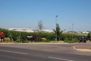
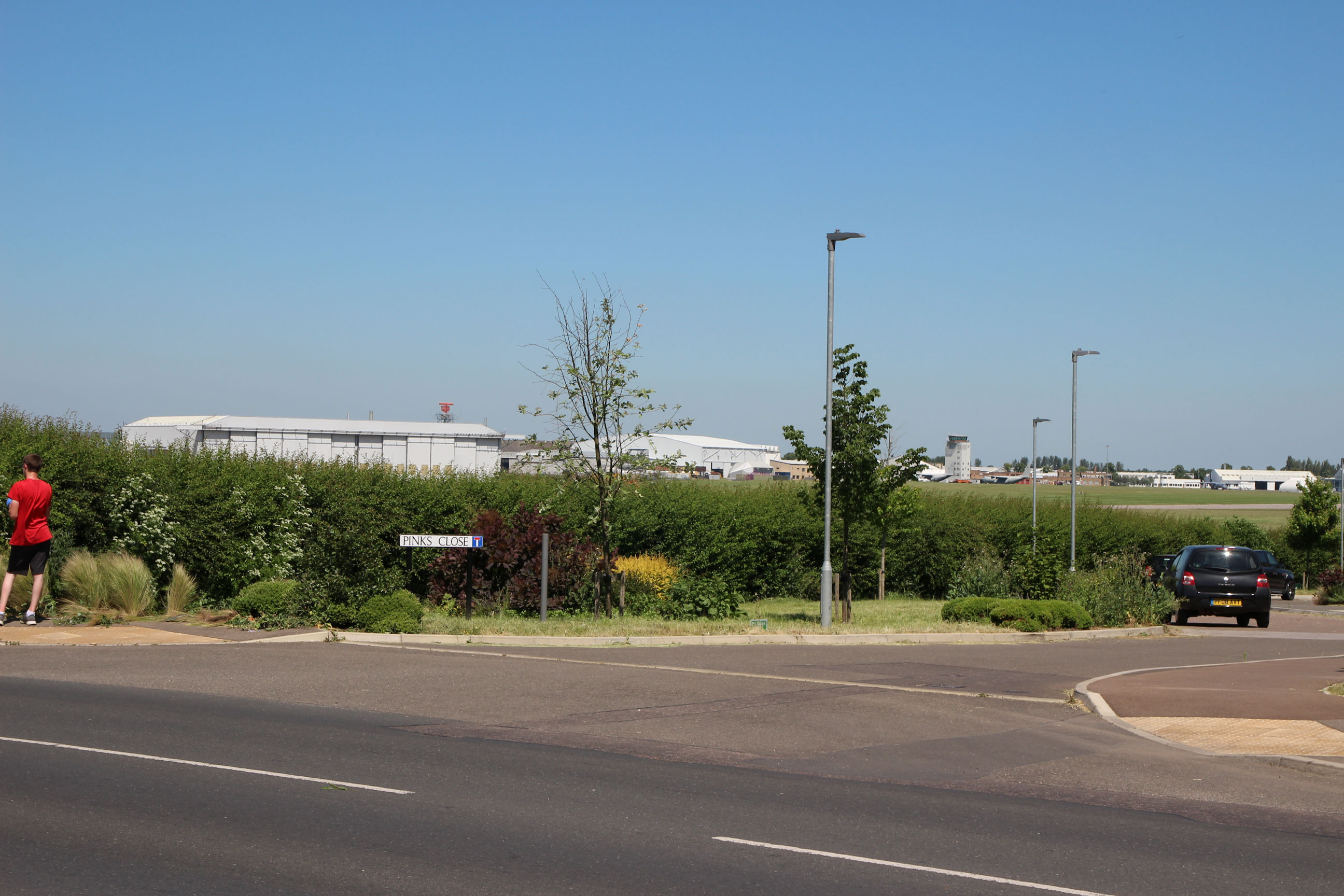
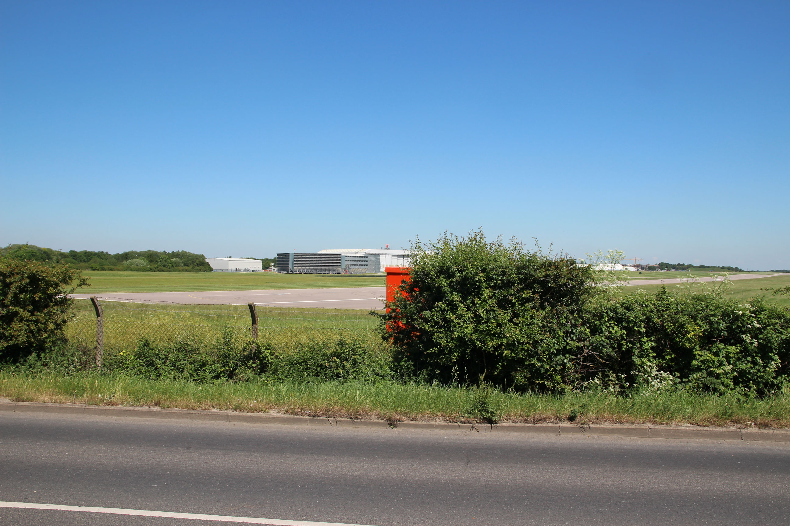
The airport is quite likely to disappear in the next ten years or so, so I’ve included it and some of its accoutrements as I’m passing.
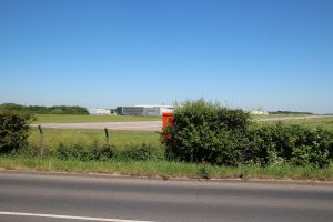
Looking across to the airport from here, the runway runs right-to-left and part of it can be seen at the far right of this photo.
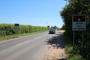
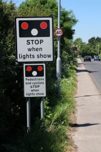
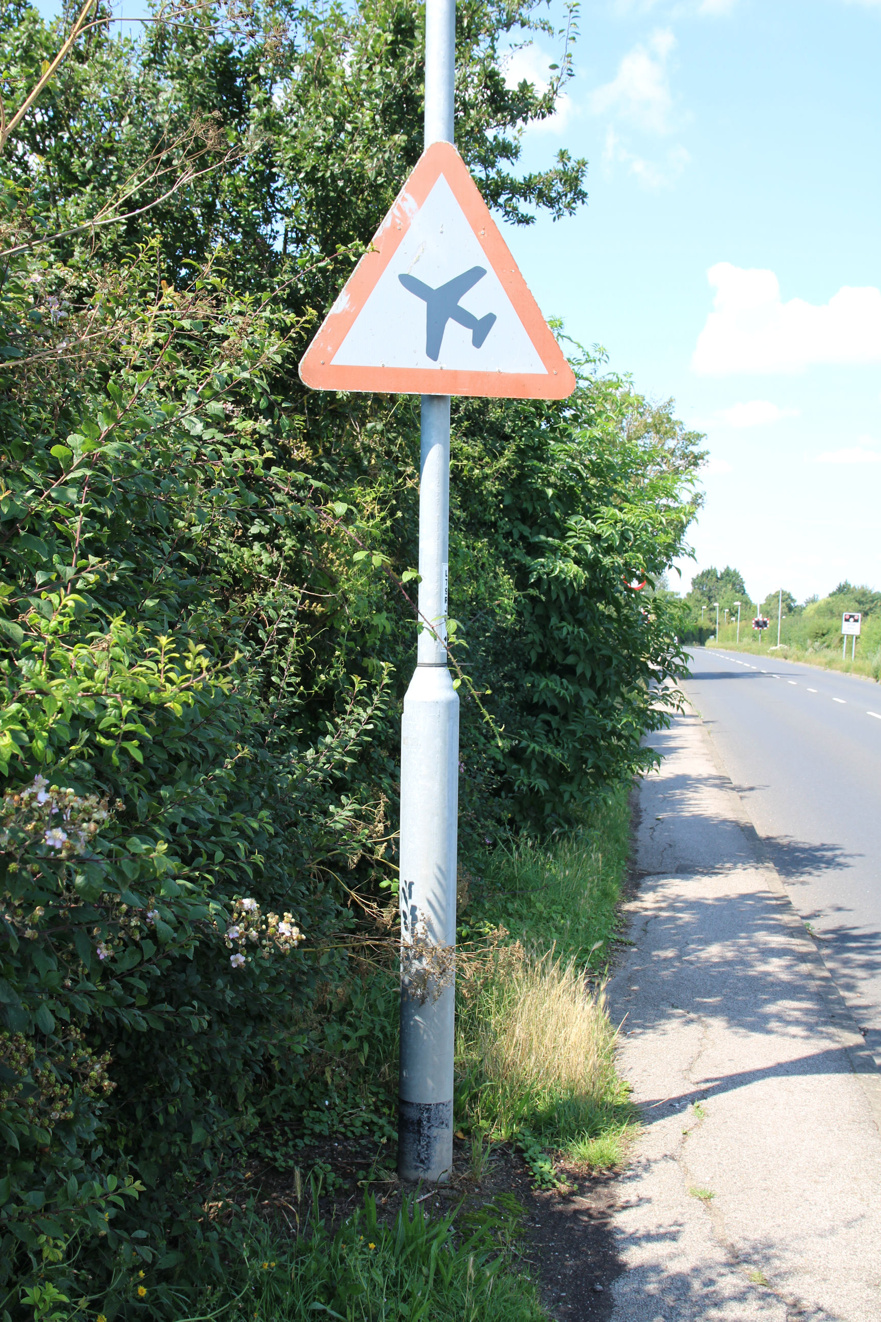
Traffic is first warned about the airport with a sign warning of low-flying planes.
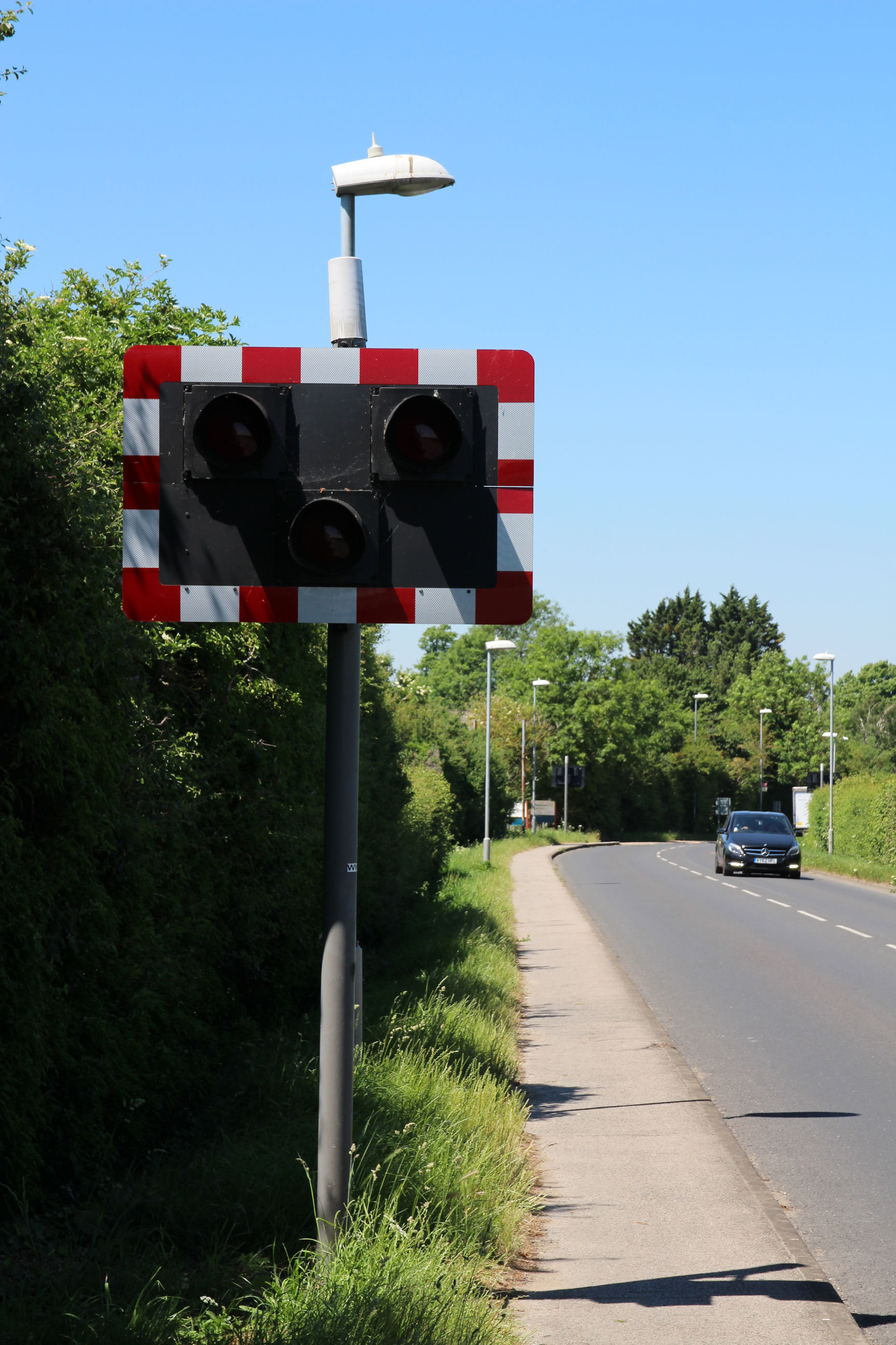
Where Coldham’s Lane passes the end of the runway, there are level-crossing-style lights to stop everyone, including cyclists and pedestrians. If a plane did overshoot the runway and use this as a level crossing, it would enter a band of Parcel B that has been excluded from the development plan, hopefully stopping before crossing the railway into the TA Lake, which would prevent it reaching the built-up Brookfields area beyond.

Now I’m approaching the end of the runway, which is pretty close to the road.
Fortunately there isn’t a plane crossing the road right now.
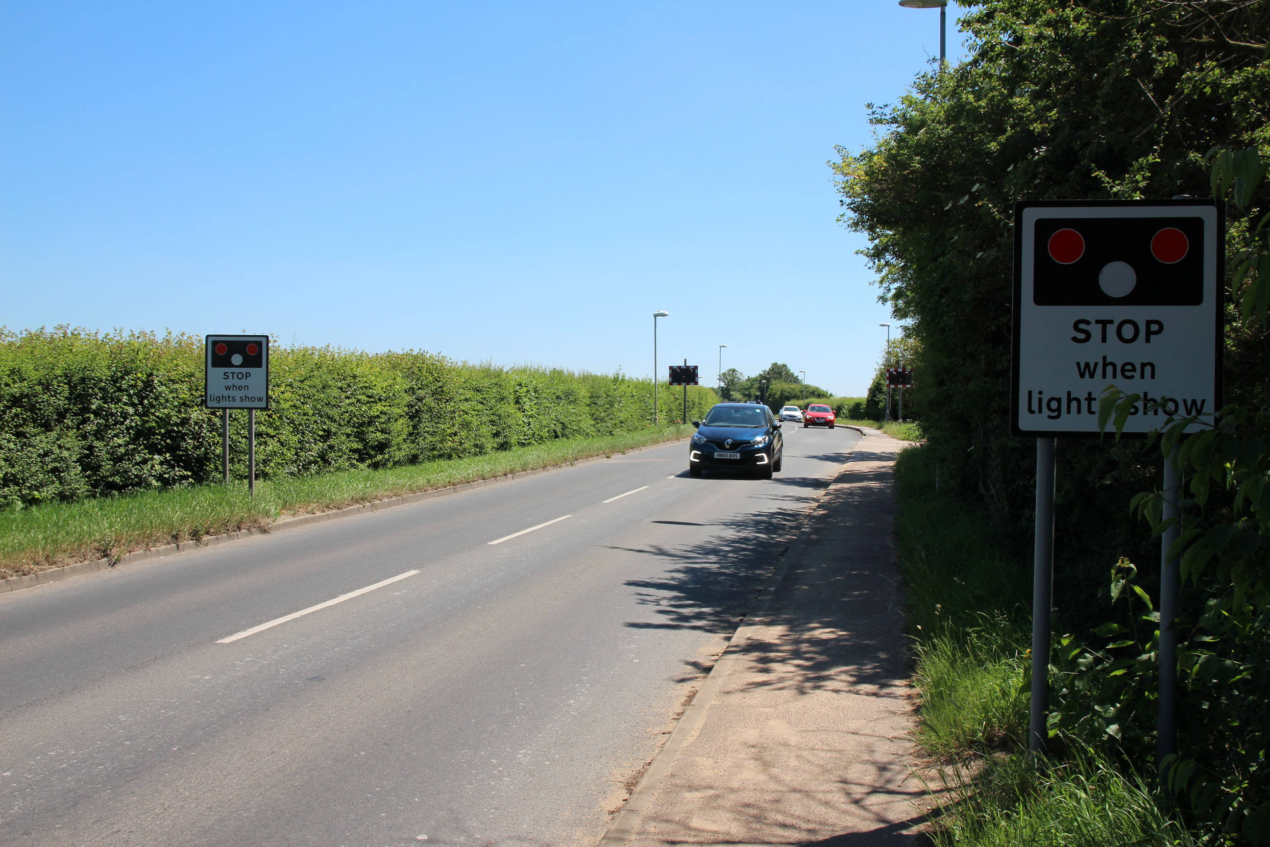
Unsurprisingly the runway crossing is similar on the west side.
Parcel B (Northwest Corner) and Hanson Site
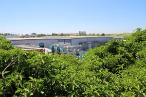
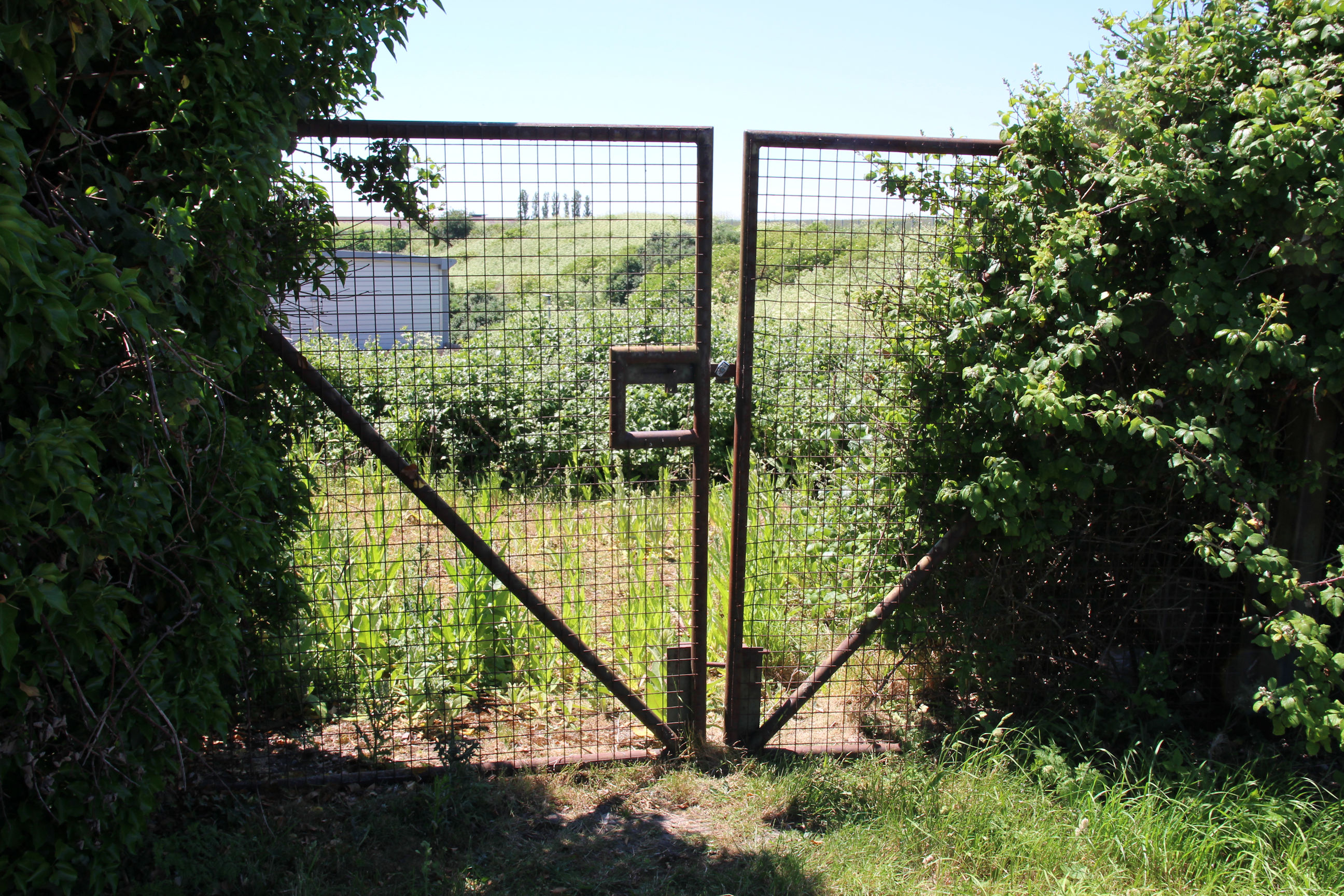
Inside the entrance to the Hanson works (below) is an entrance to the northwest corner of the Parcel B triangle. This probably won’t change as the band of Parcel B at the end of the runway won’t be opened up while the airport remains in existence.
I haven’t gone in to photograph it through the gates while this van is parked here, as I don’t need anyone thinking I’m casing the joint for a mega-rave.
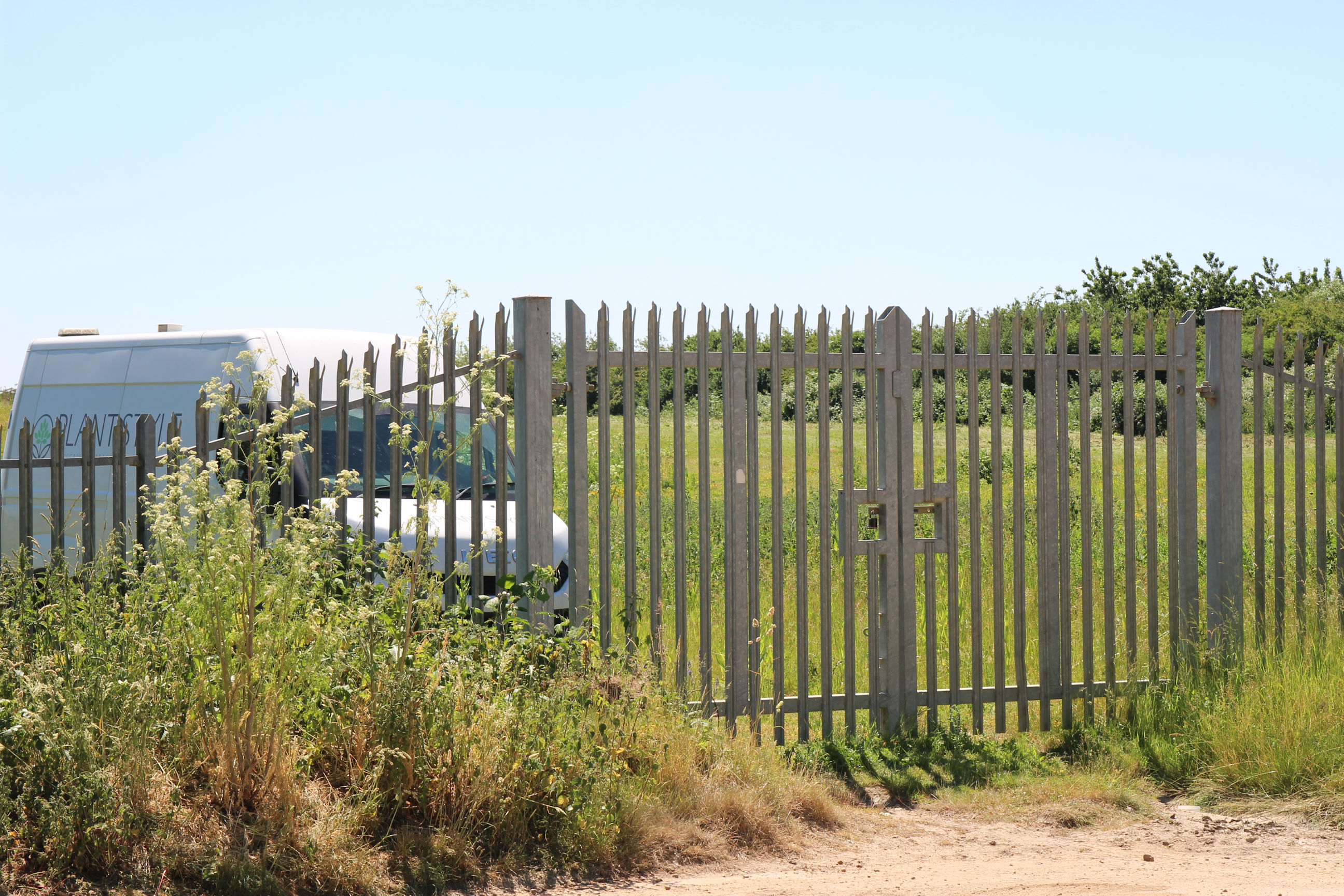
This small Hanson site at the northwest tip of Parcel B is all that remains of the area’s cement industry. They make up concrete to send out in mixers here.

Army Reserve Centre
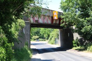
I’ve heard that this railway bridge over Coldham’s Lane is a nuisance as it’s too low to run double-decker buses under. It was hit by a lorry last year.

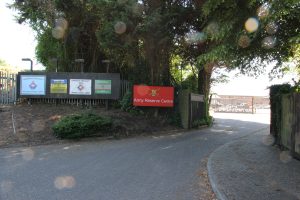
Just west of the railway is the main entrance to the Army Reserve site.

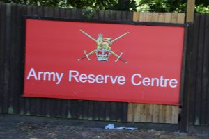
Here’s a close-up view of the Army Reserve Centre sign.

Brooks Road
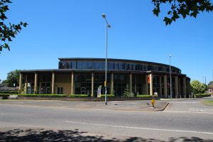
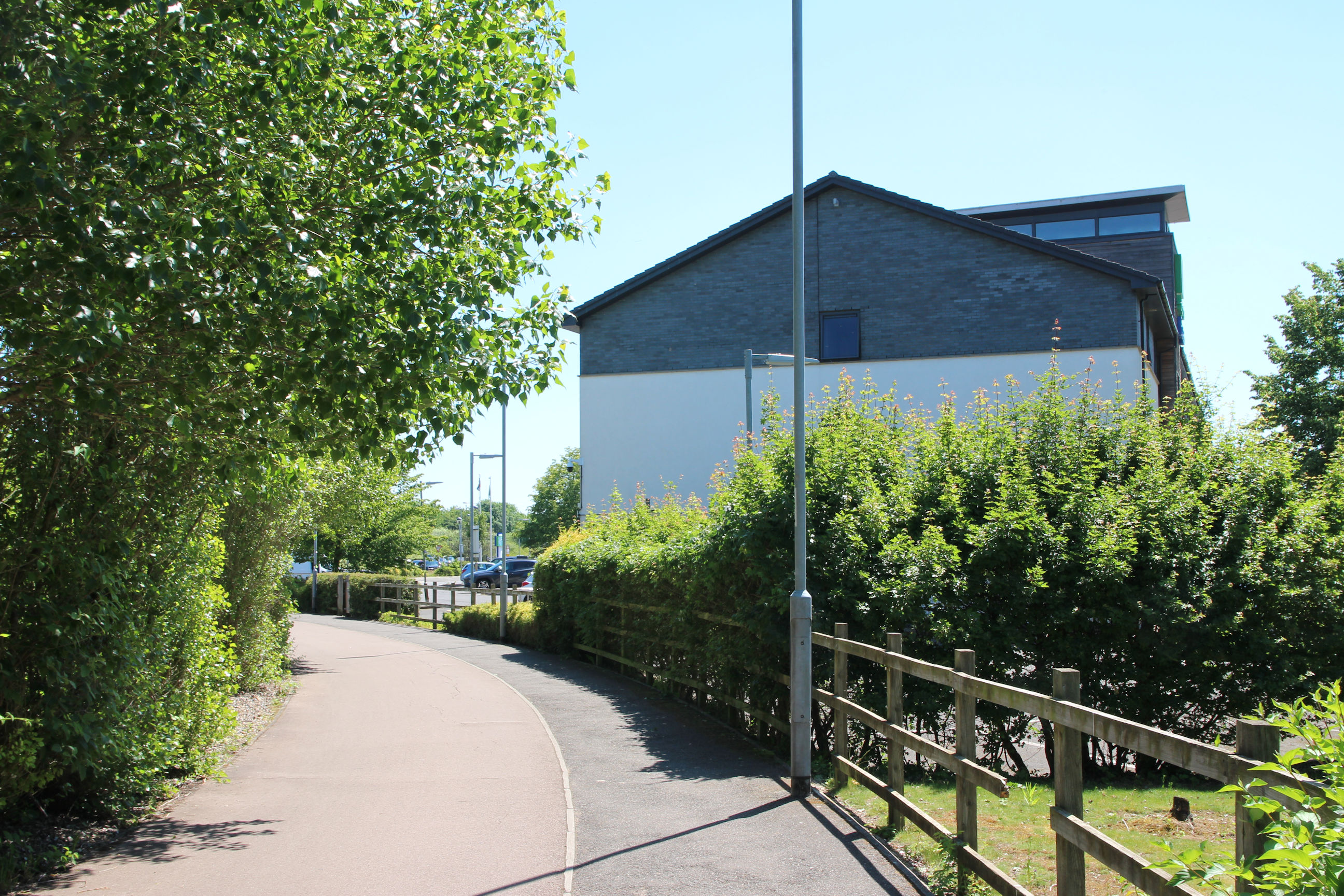
The Cambridge Community Church C3 Centre replaced a much smaller 1930s church on the corner opposite Sainsbury’s about 5-10 years ago.

All the Citi 2 buses used to turn right into Perne Road from Brookfields and go to the Addenbrooke’s bus station via Birdwood Road, Walpole Road, Cherry Hinton Road and Queen Edith’s Way. Now some of them turn left along Brooks Road, go round the roundabout and stop here before heading back into the city.

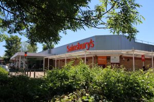
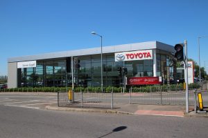
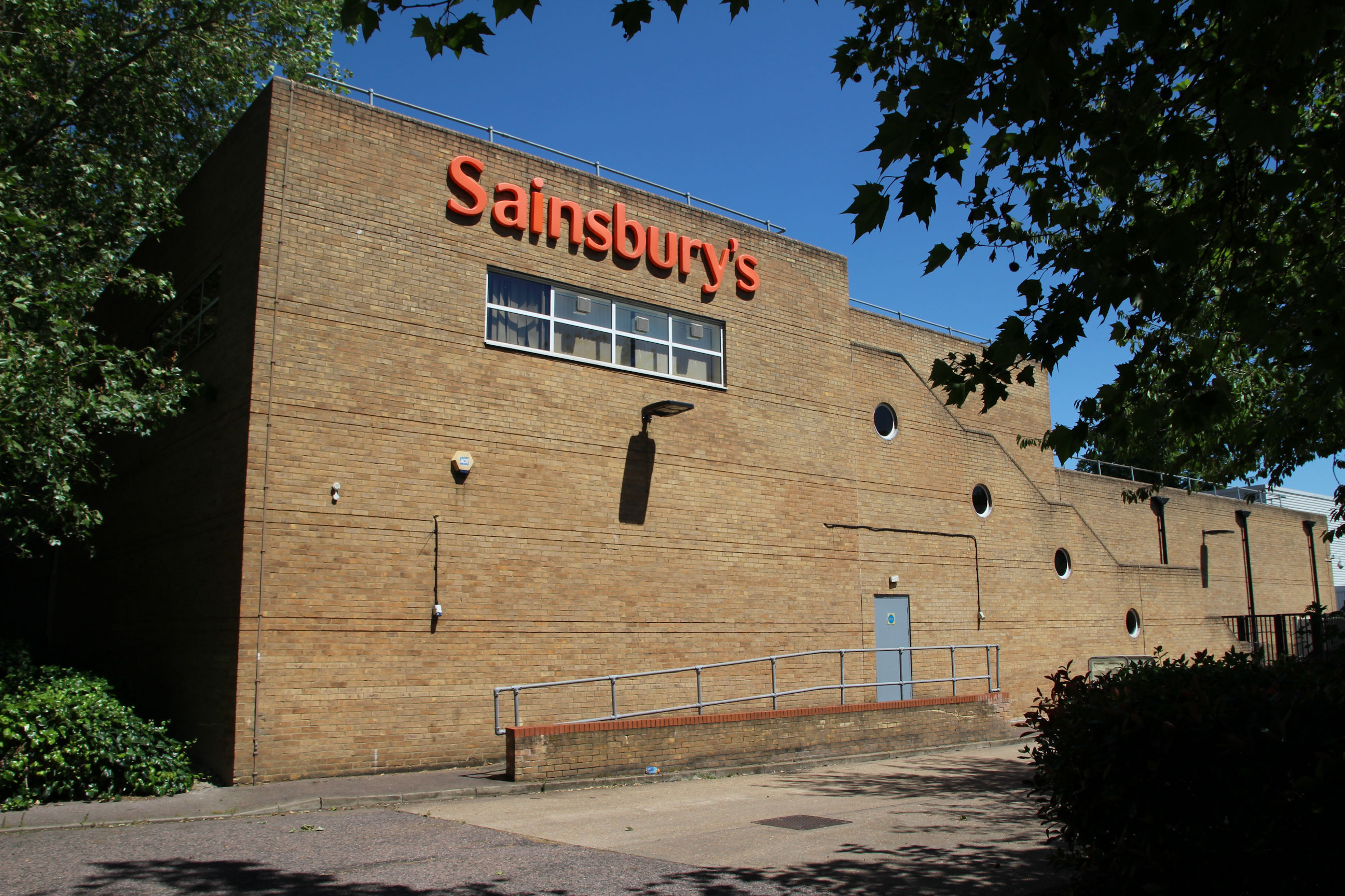
The Sainsbury’s store opened on the former Astra Works site in 1974. Originally its site was bounded by Cherry Hinton Brook. It later bought some land from the Army Reserve site east of the brook to extend its car park.

When approaching Sainsbury’s from the south, as from Home, you’re greeted first by its ugly rear end, with a driveway into its loading bay.
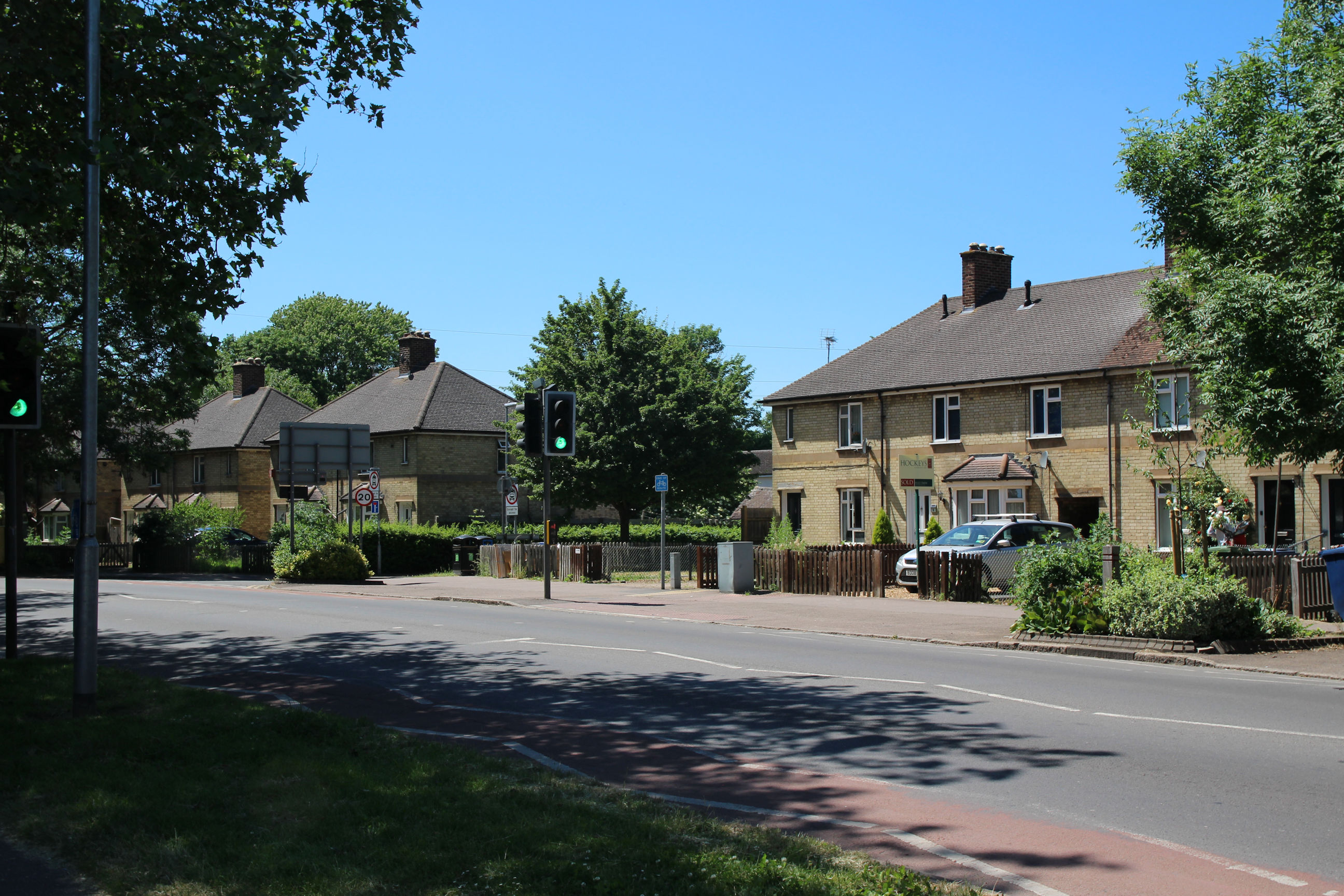
There are a mixture of terraced and semi-detached houses along Brooks Road. I think these date from the 1950s, but it’s not always easy to distinguish prewar and postwar ones.
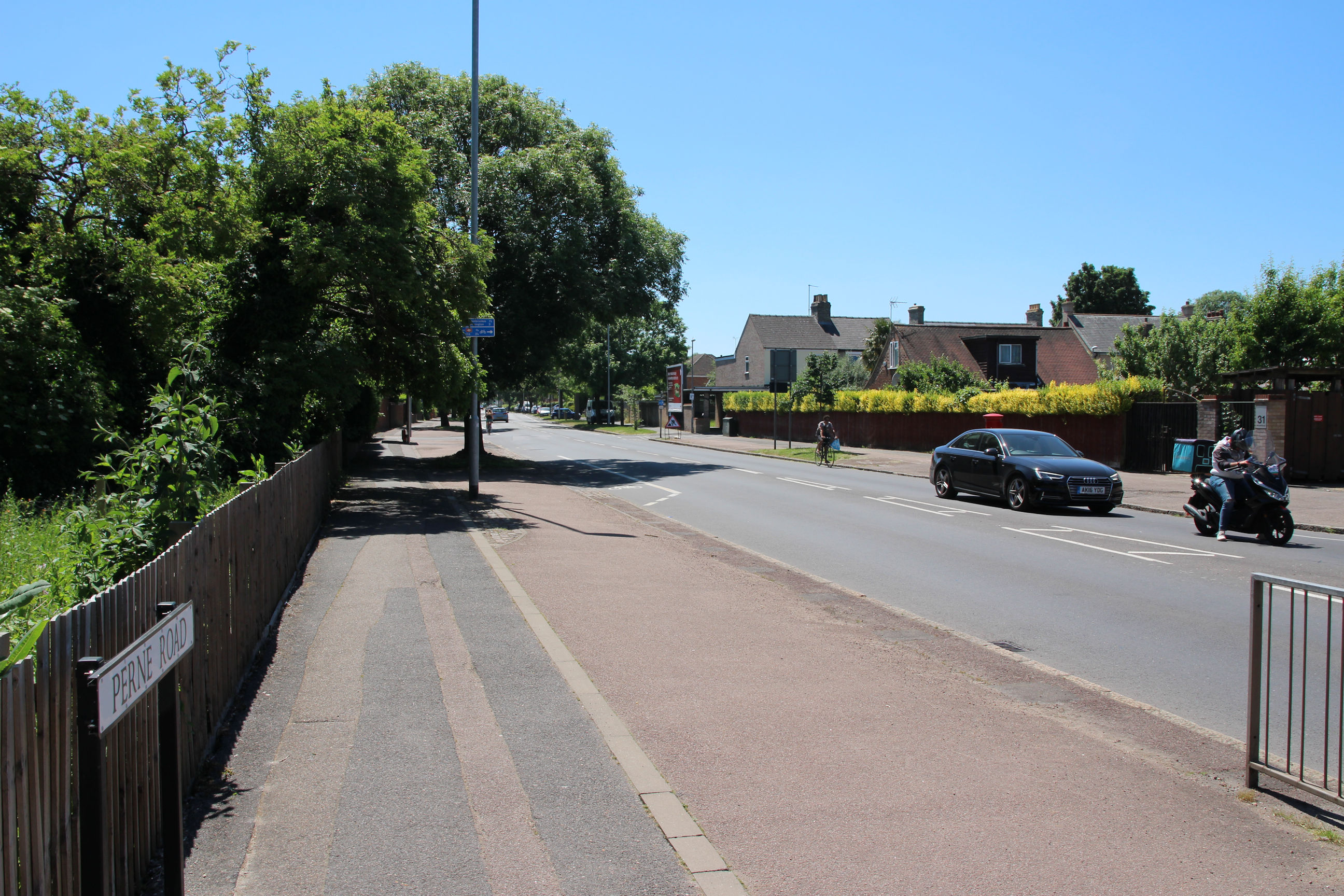
Perne Road
I’m now almost Home. At least we still have a street sign at this end.