Photographed on 2nd June 2022.
Introduction
Phase 1 of the Chisholm Trail opened at the end of 2021, and the trail at the time of opening is illustrated on the Chisholm Trail Phase 1 – Opening page. This set of photographs was taken nearly six months later, on one of the Bank Holidays of the four-day Platinum Jubilee weekend.
Chisholm Trail Phase 2, from Cambridge Station to Cromwell Road, is still being planned at the time of writing.


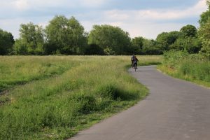


Route
The walking route follows the trail from Mill Road Bridge to Cambridge North Station. I returned to Cambridge Station on a train and walked back to Mill Road Bridge.
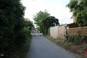
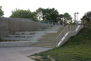
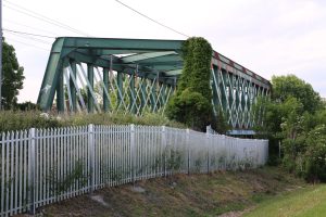
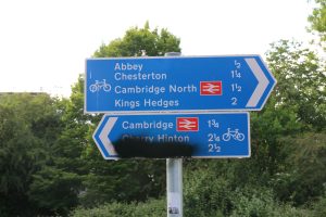
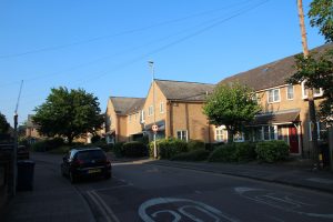
Mill Road Bridge
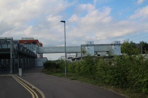
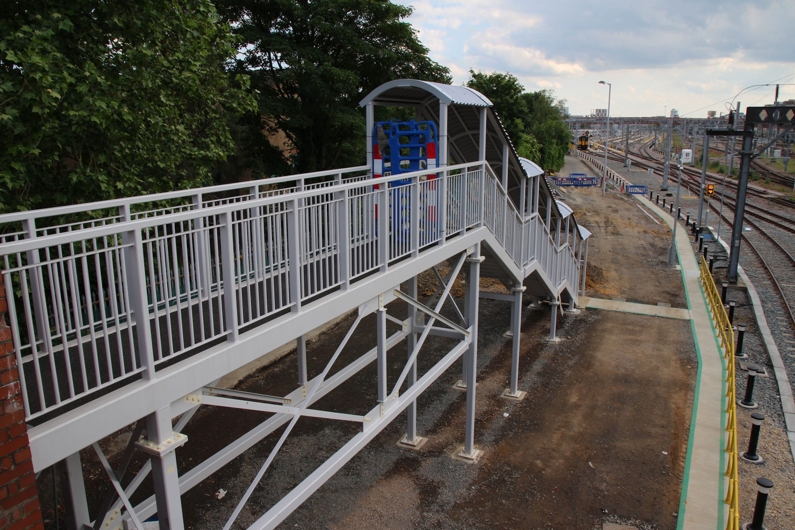
On the Romsey side of the bridge looking south, Network Rail have constructed this new footbridge section down to the track. The old concrete steps are still in place. Maybe they will lead down to the Chisholm Trail Phase 2 path?
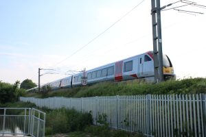
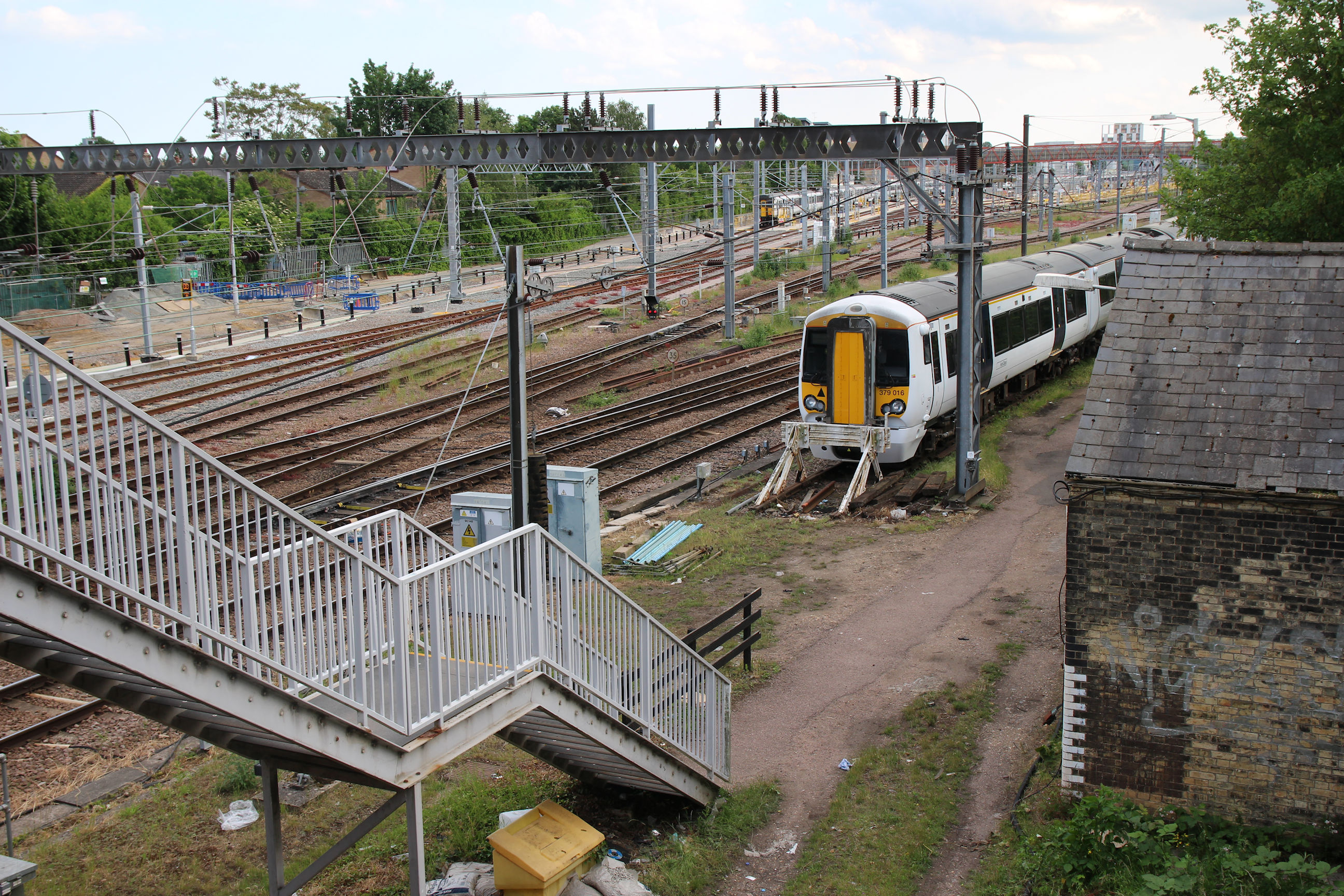
On the Petersfield side looking south, nothing has changed. There’s no sign of construction of Chisholm Trail Phase 2 here yet. A Class 379 is in the siding in the foreground; these are used on Great Northern services to Kings Cross.
Looking north across the tracks from the Petersfield side, again there are no changes evident on this side.

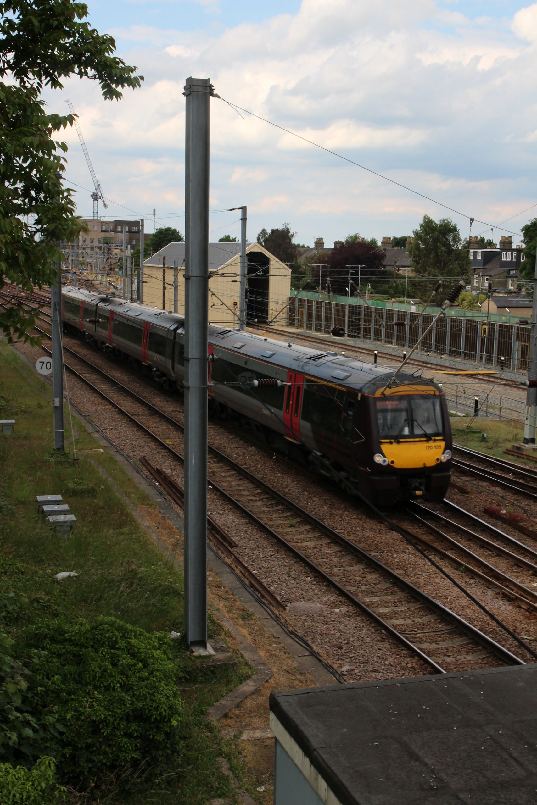
As I was crossing the bridge this train appeared – one of the Cross-Country Class 170 Turbostars that goes to Stansted Airport.
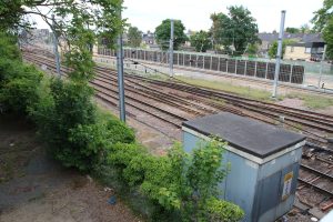
On the Romsey side looking north, construction of the new train cleaning facility has advanced and the Phase 2 Chisholm Trail route to Cromwell Road remains cordoned off to the right of the green barrier.
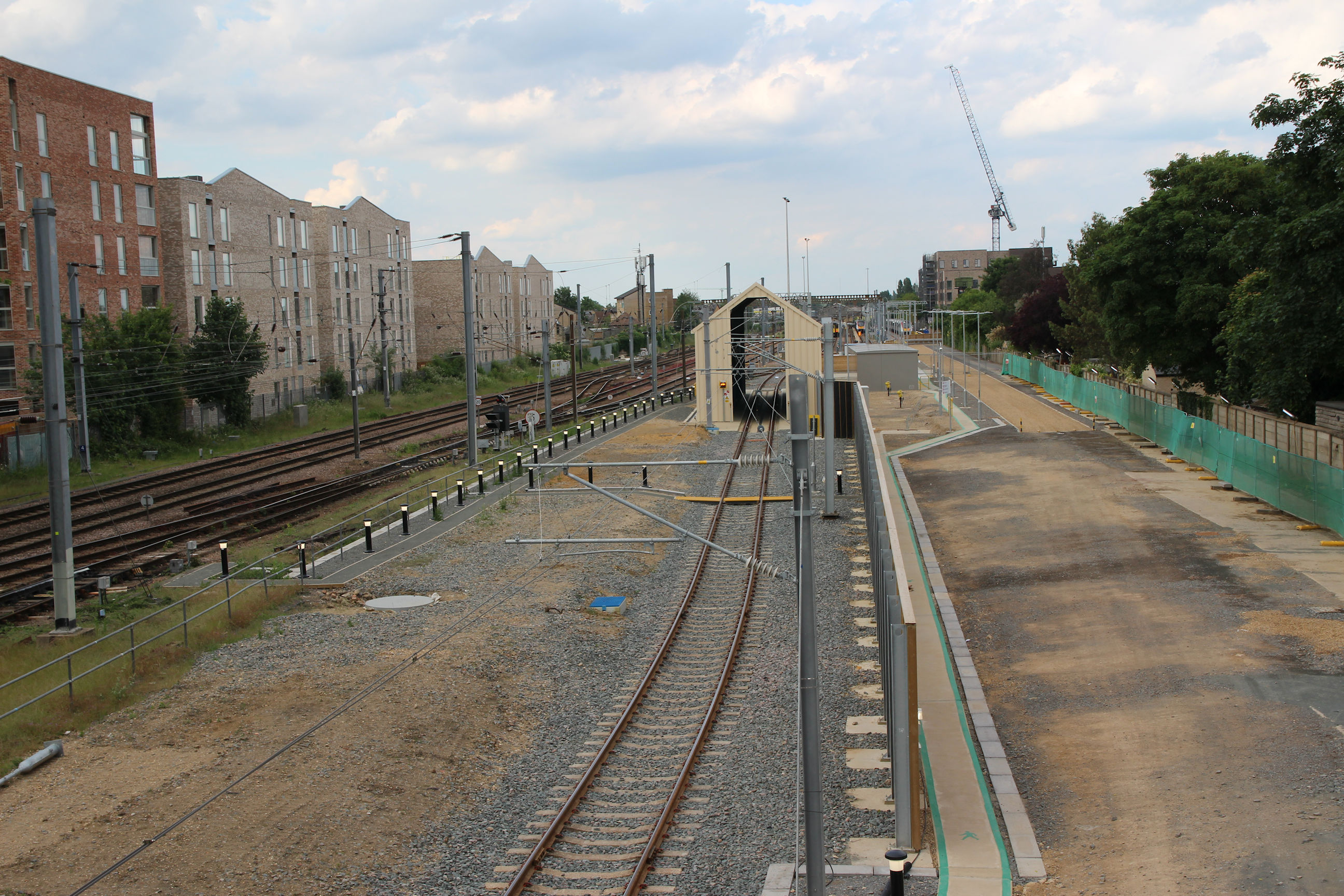
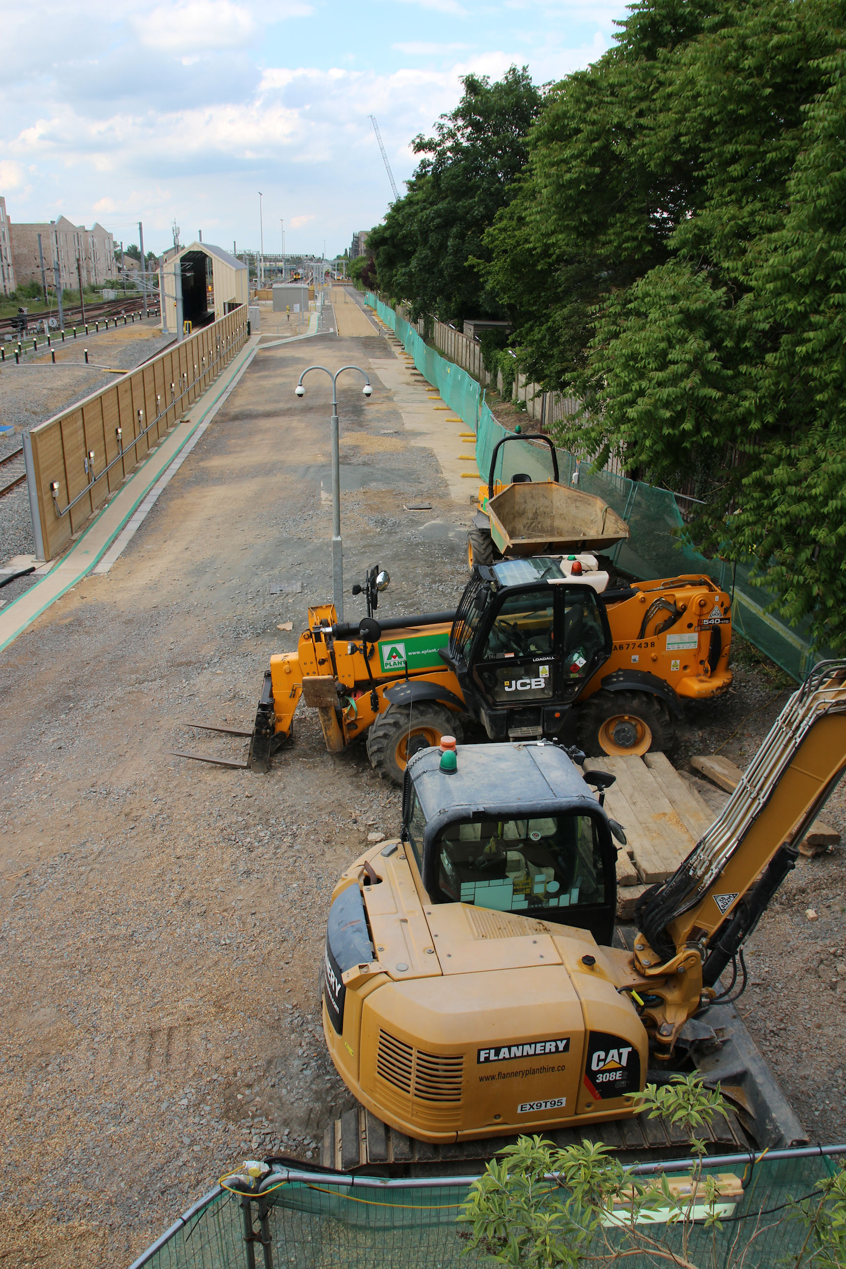
It can be seen more clearly in this view. There is still a lot of unused space here.
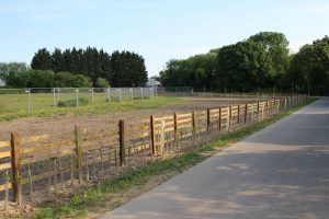
Cromwell Road
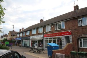
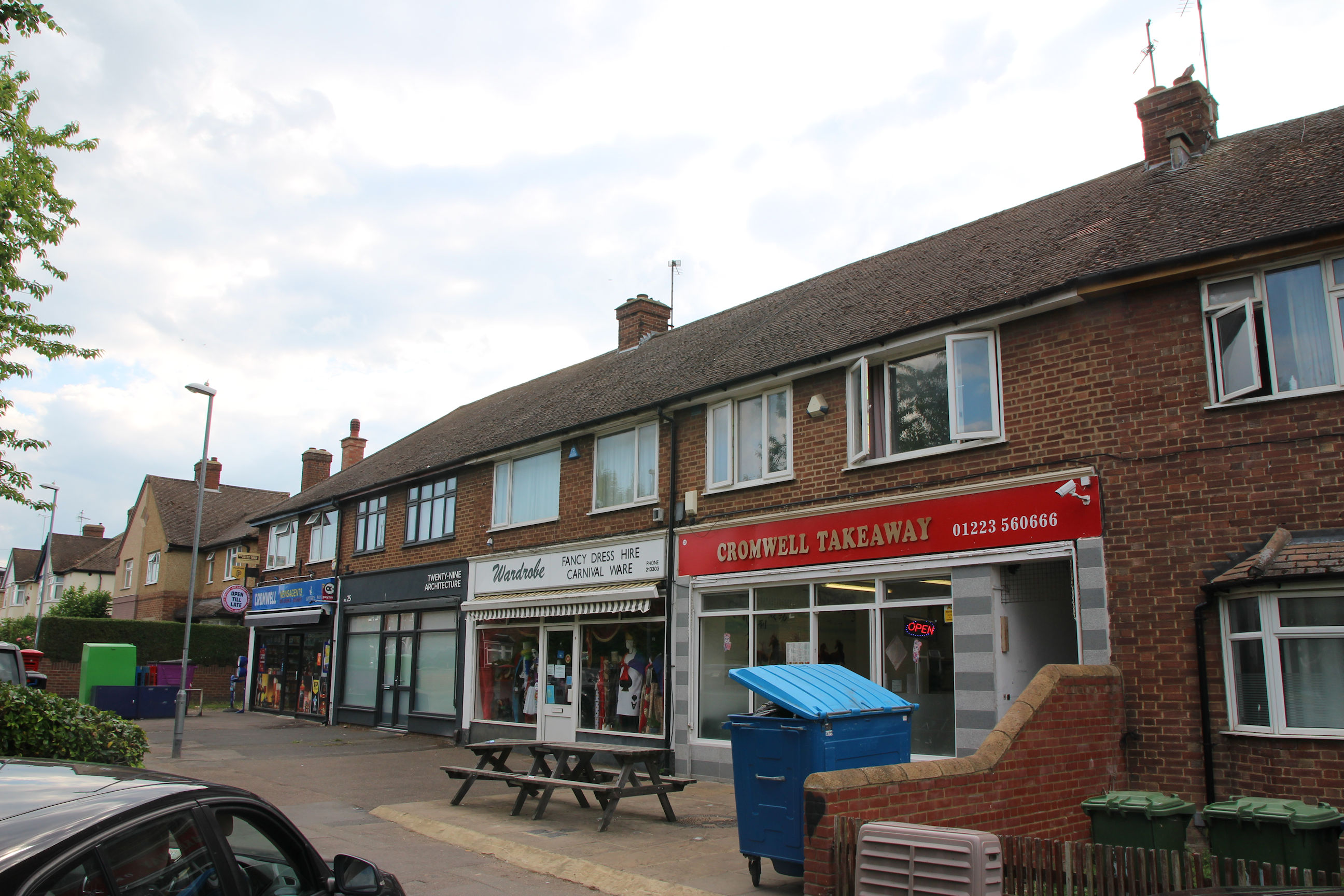
For now I walk to Cromwell Road via Mill Road and Sedgwick Street. I thought I’d try photographing the shops from a different angle this time.
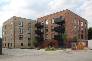
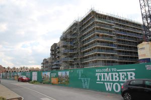
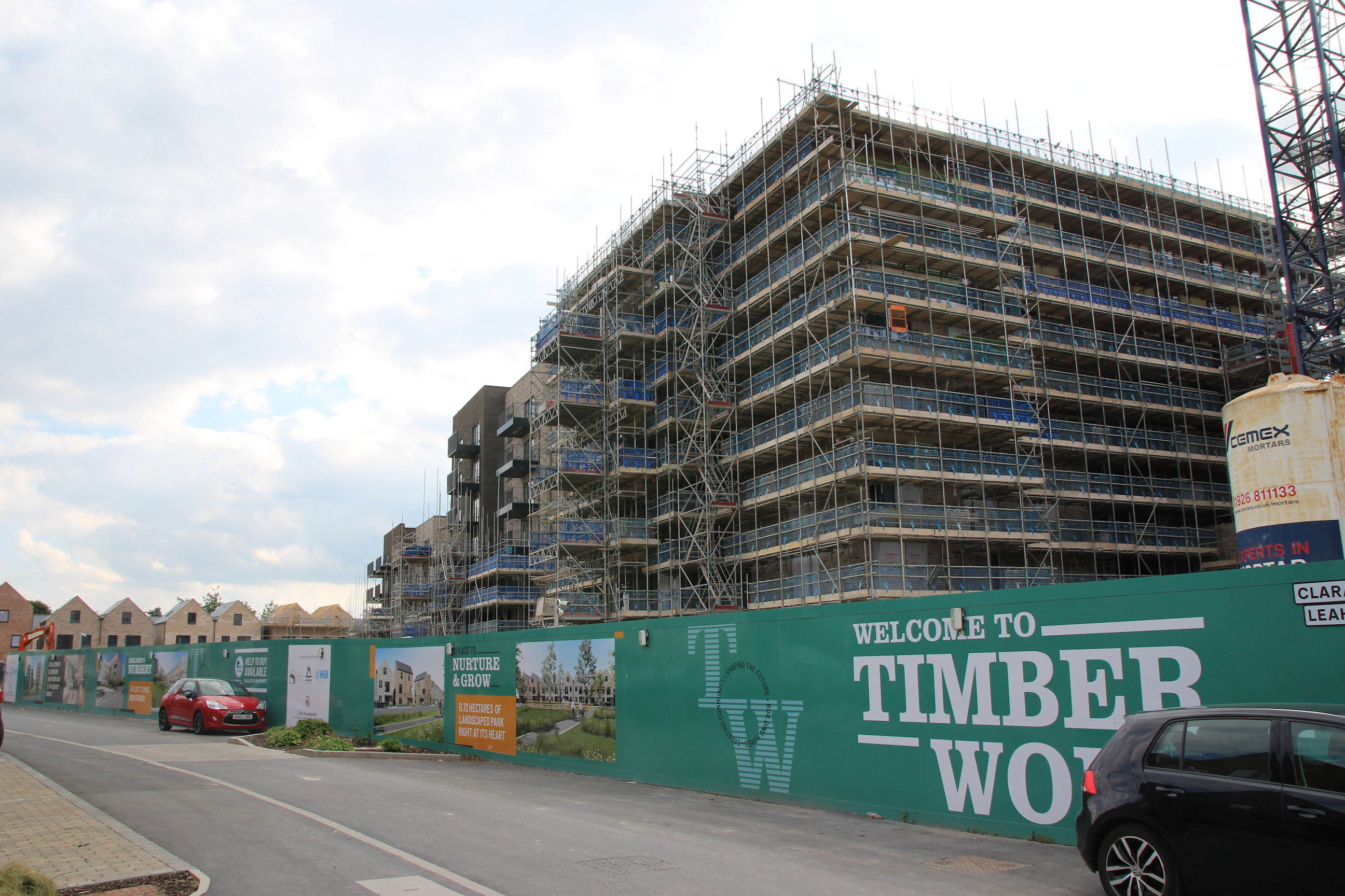
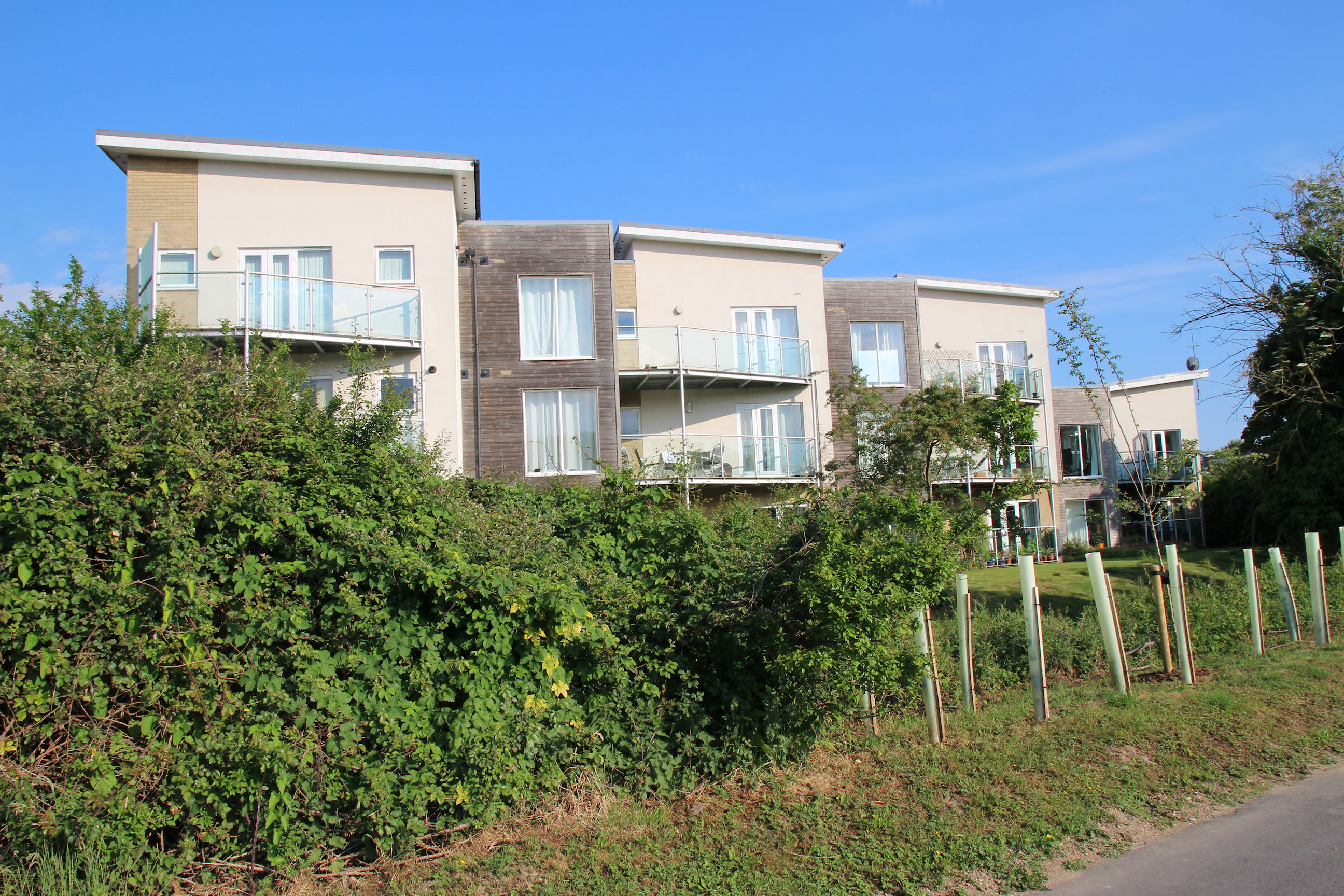
On the Timber Works site (formerly Ridgeons), flats and houses are still being built.
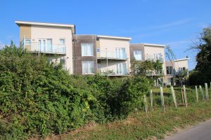
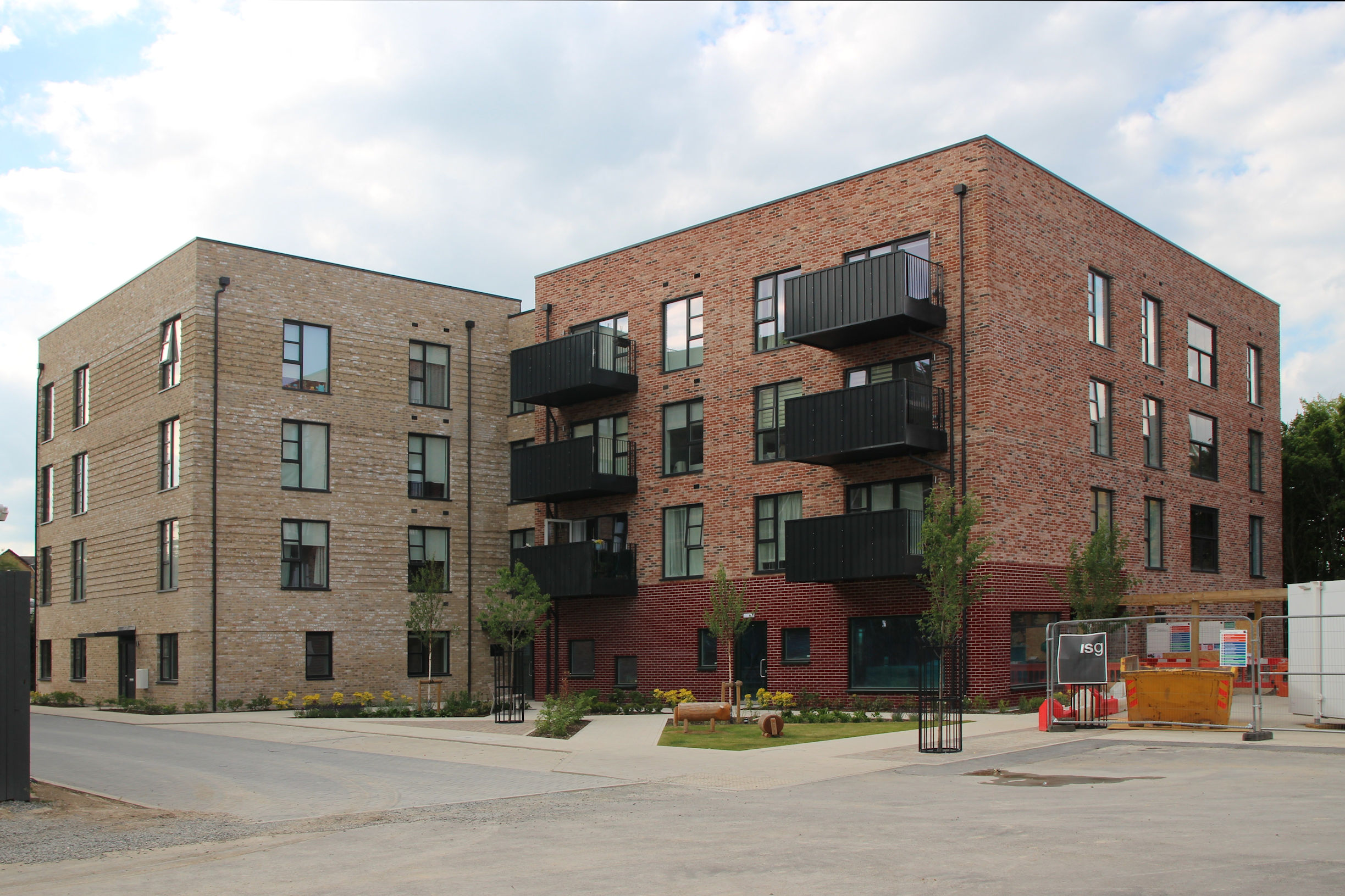
Further along, these flats appear to be complete and occupied.
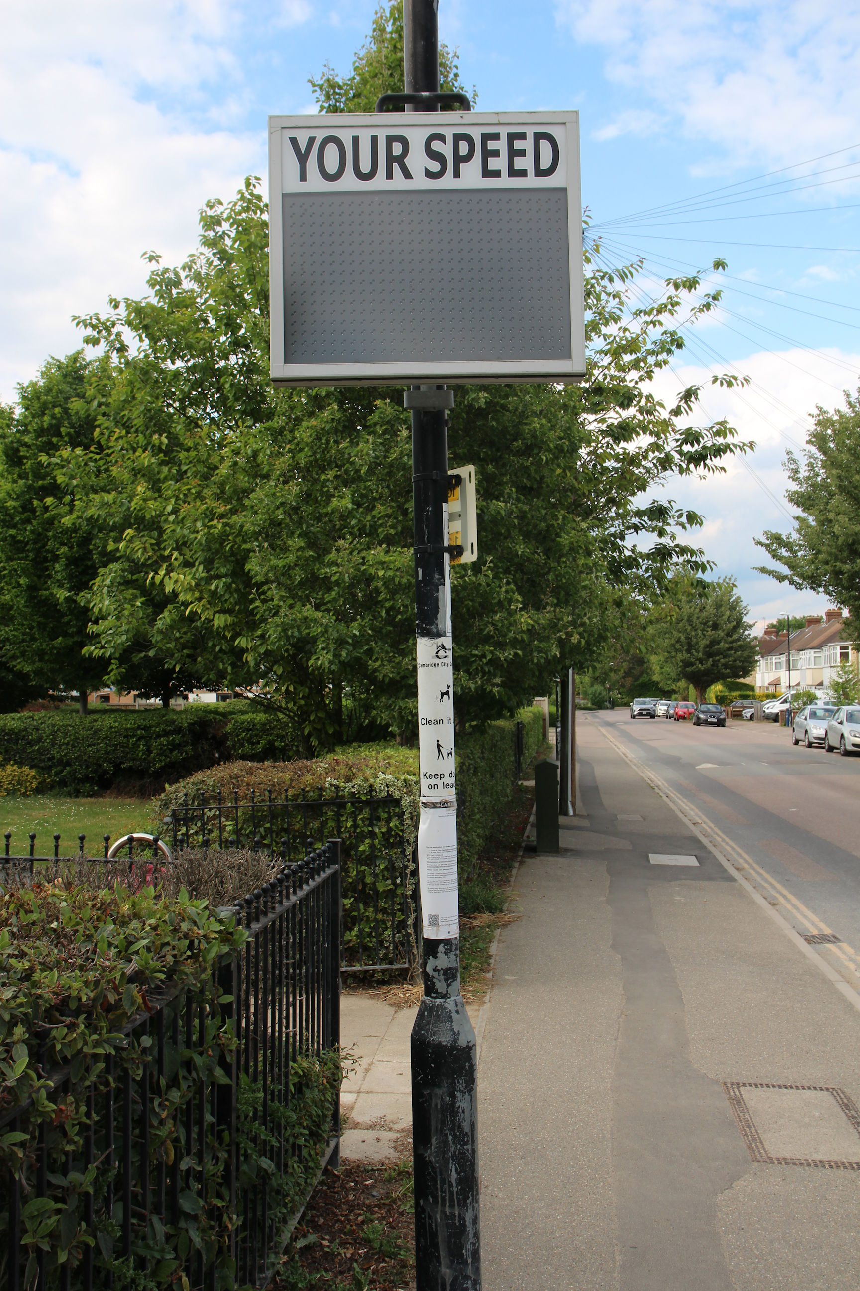
Disappointingly, this sign didn’t tell me how fast I was walking.
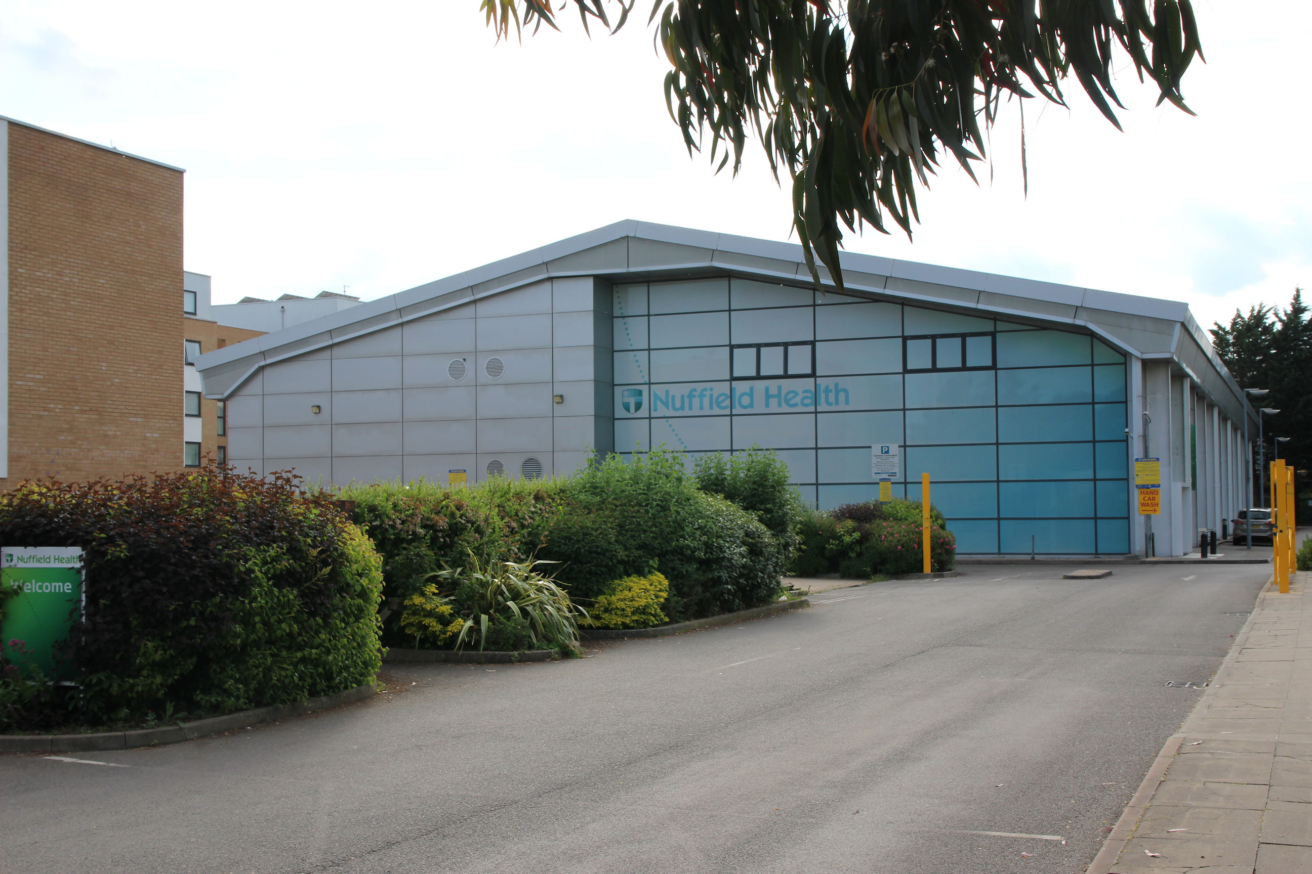
The Nuffield Health fitness centre. I used to go to the gym here when I was working full-time, but it is expensive. PureGym and The Gym Group now offer no-frills gym facilities at less than half the price.
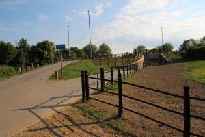
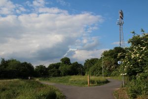
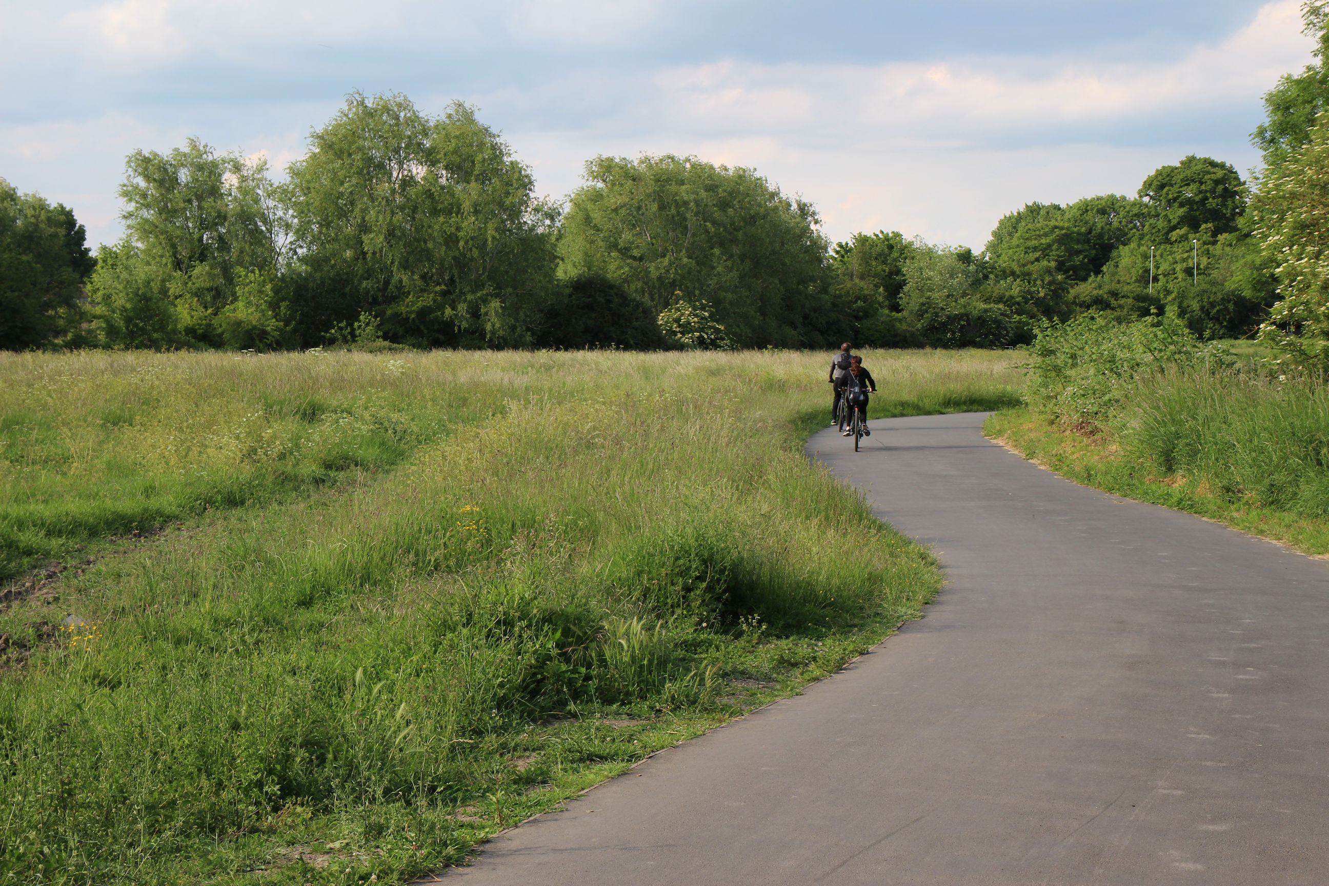
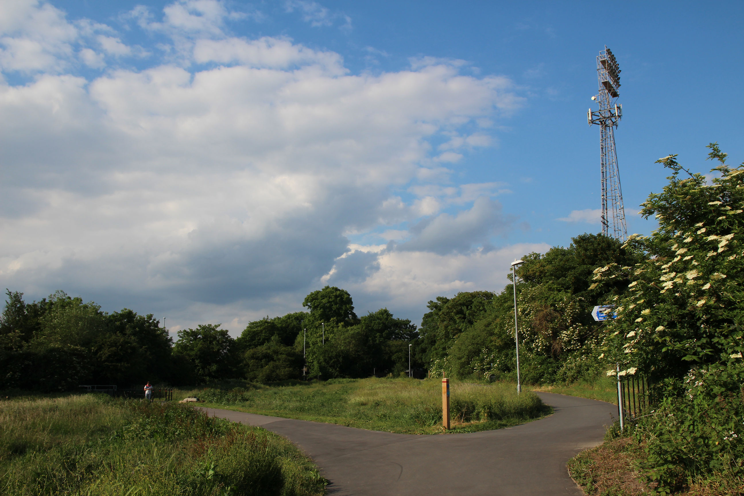
Coldham’s Common
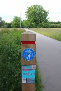
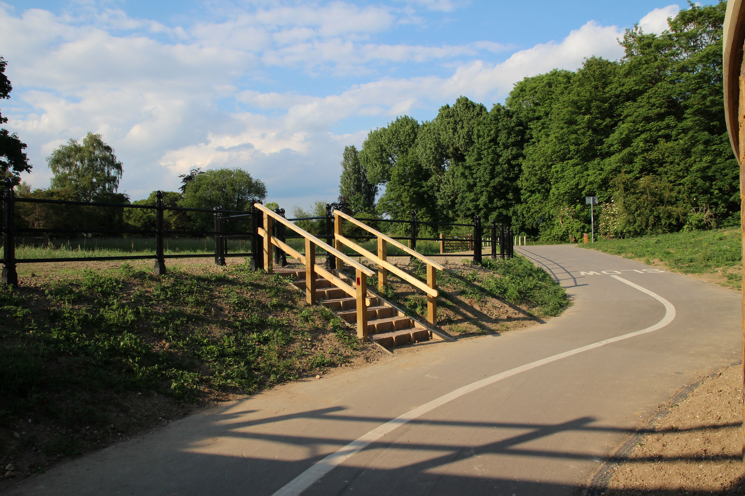
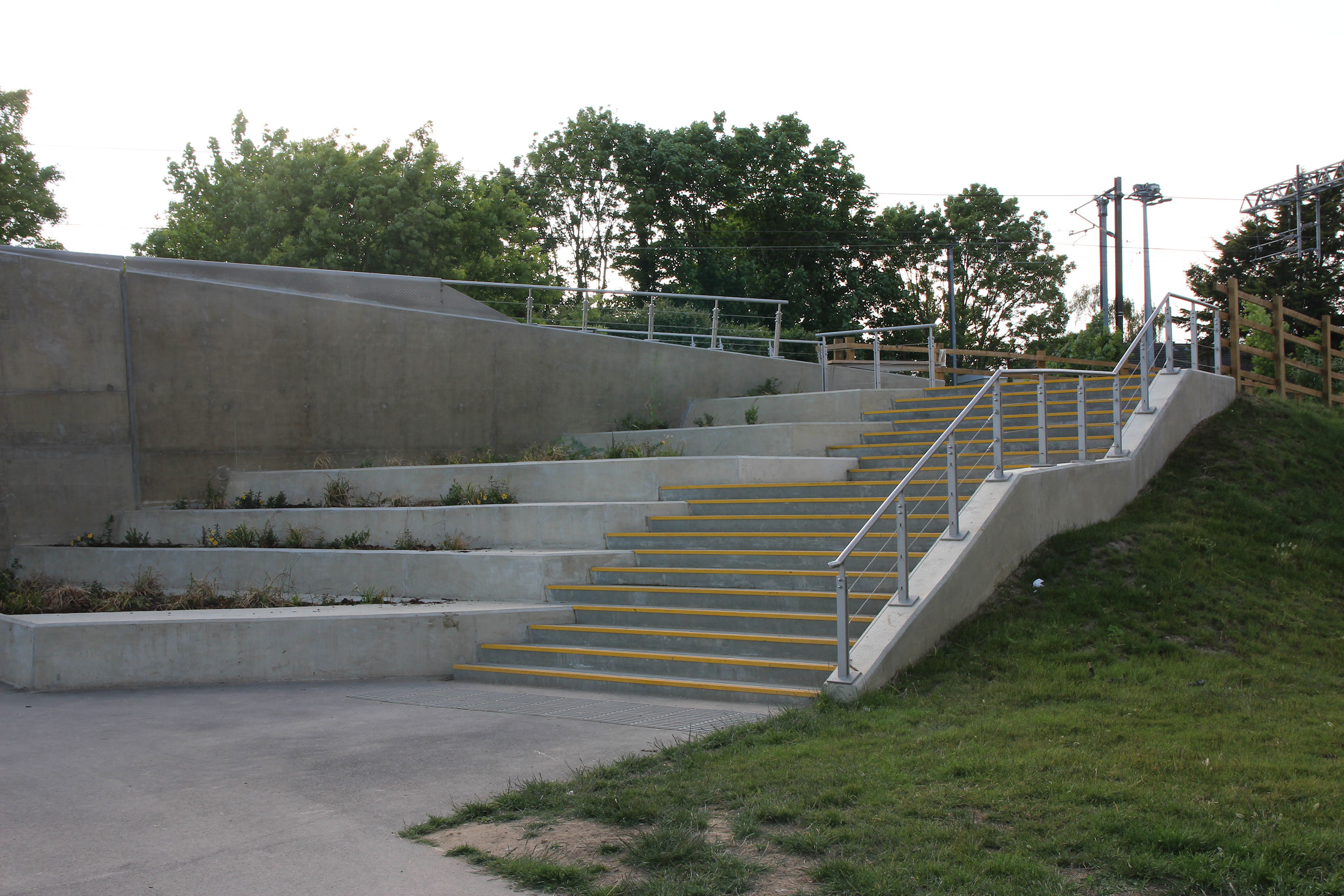
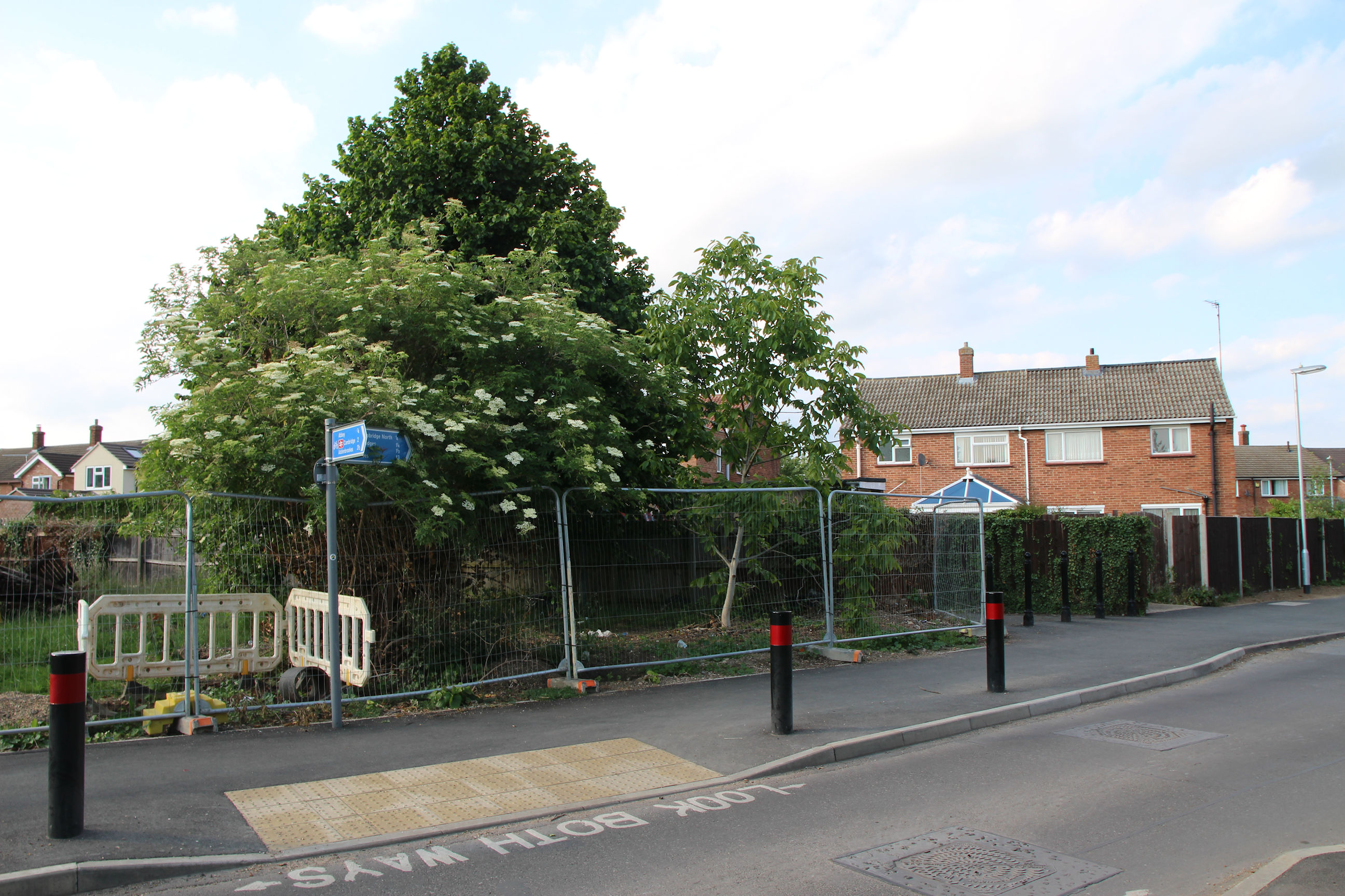
The entrance to the trail across Coldham’s Common. The signpost has gained a flyer promoting a local music event.

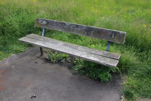
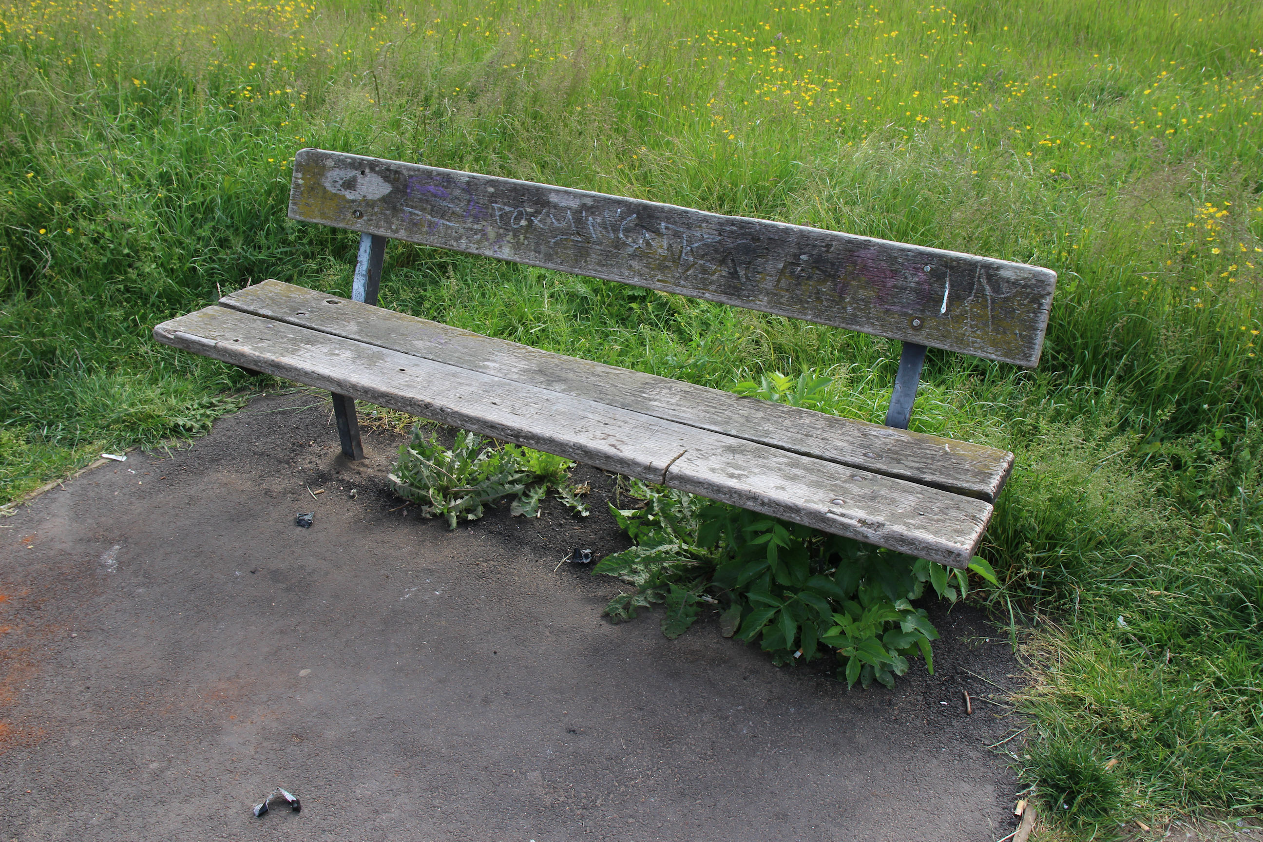
One might have hoped that as part of the lavish expenditure on the trail construction this bench beside it could have been given a new coat of varnish.
Today’s a good day for spotting trains. This one from Newmarket was crossing the railway bridge on the common as I approached it. Even this line has modern trains on it now; there don’t seem to be any Class 156 and 158 sprinters around anymore.
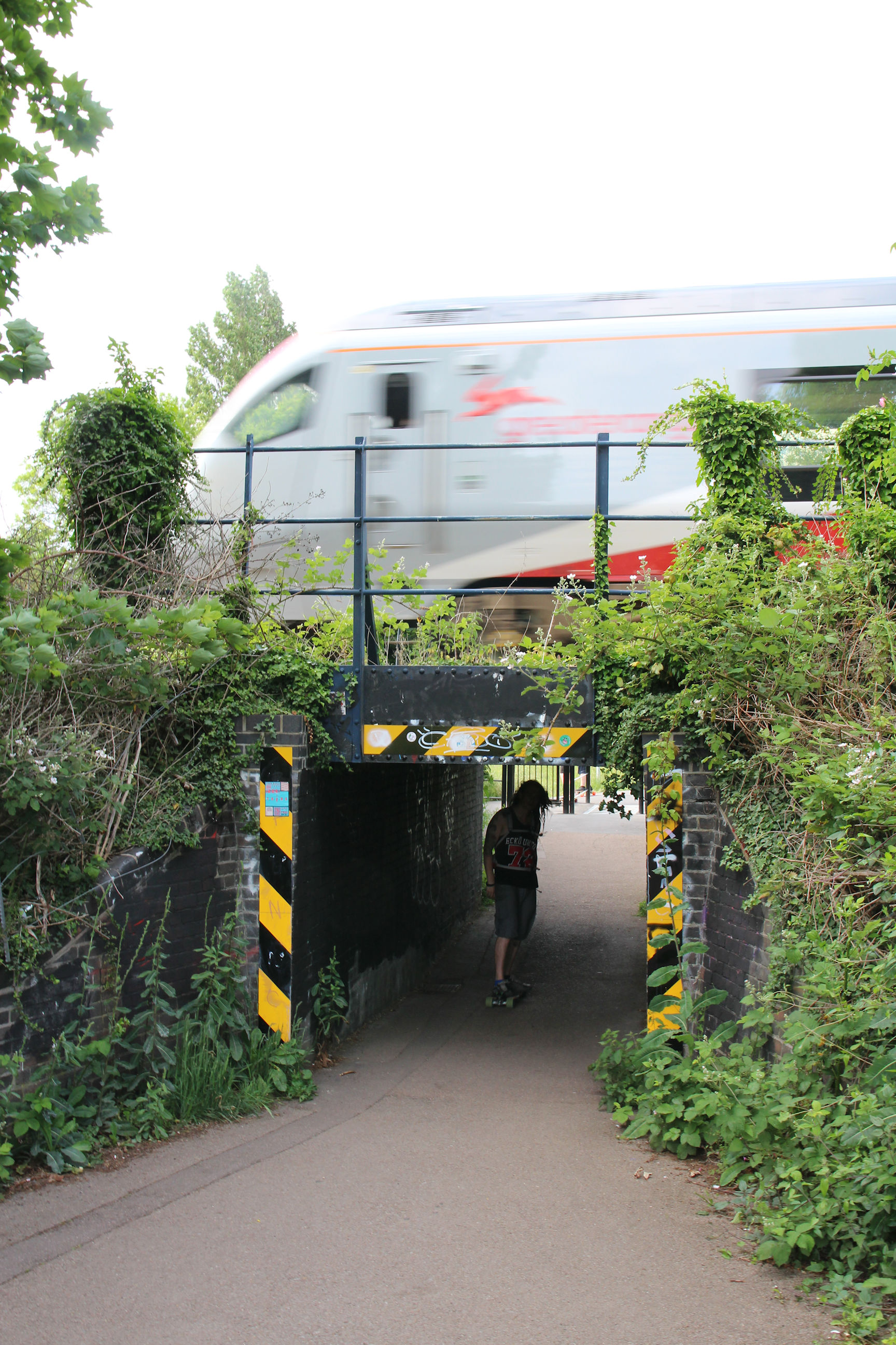
The walls inside the bridge have been repainted black; the green man I photographed on an earlier visit has gone. There’s still some graffiti around the entrance on both sides.
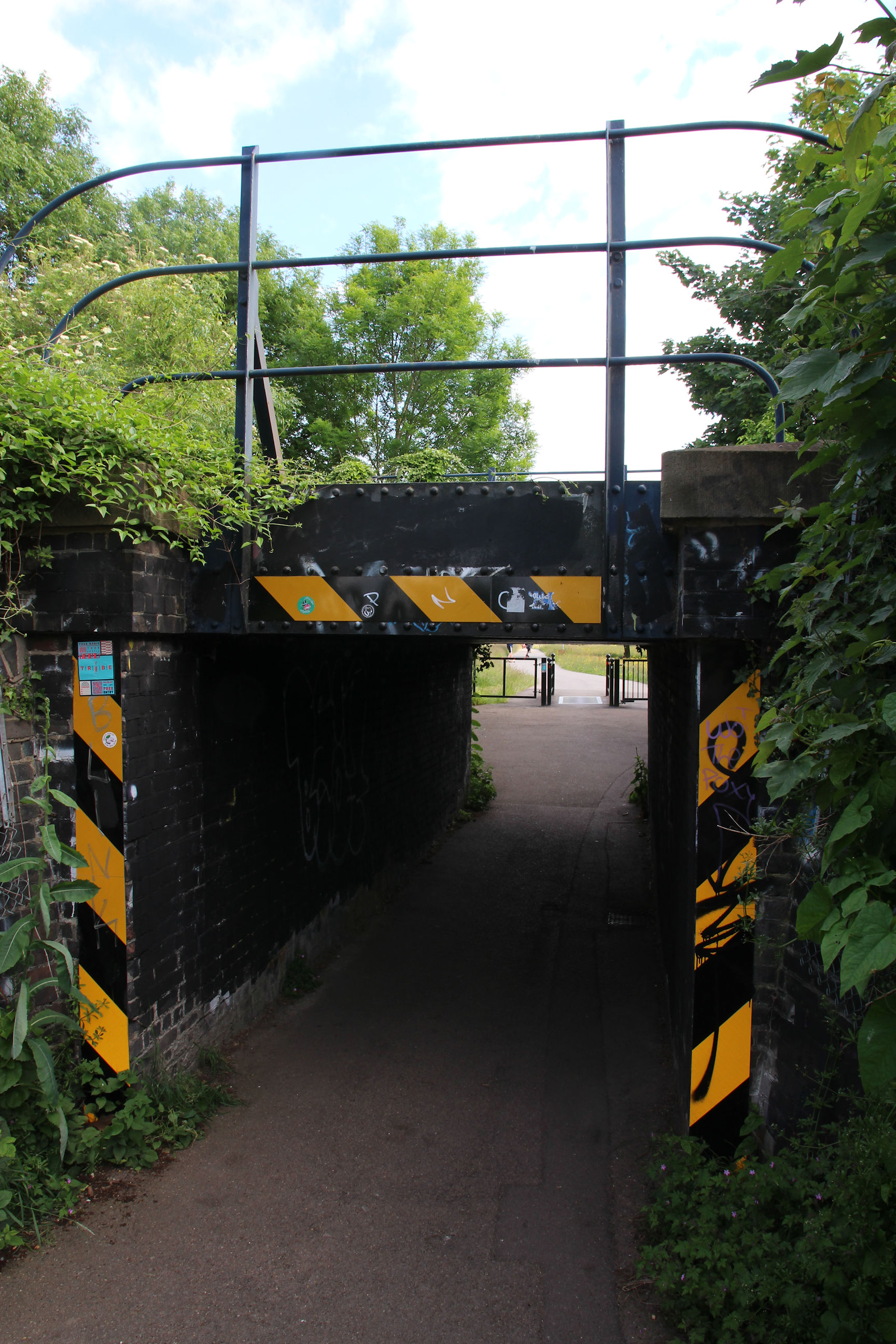
My guess is that the blacked-out destination is Addenbrookes. Am I right?
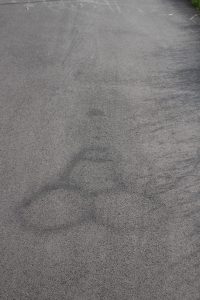
And there’s some faint phallic graffiti drawn on the path.
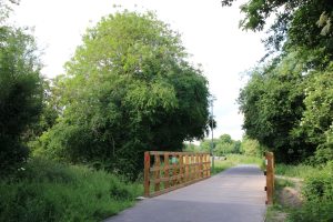
I’ve reached the bridge over Coldham’s Brook.

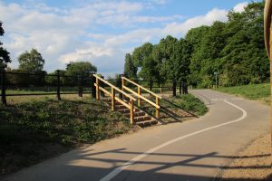
There’s still some flattened grass near the trail path but otherwise this section is now free from signs of construction.
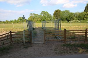
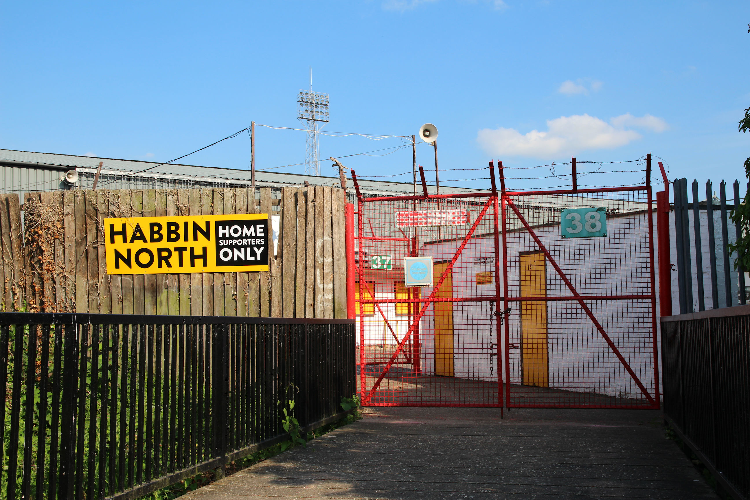
I’m now approaching Abbey Stadium.
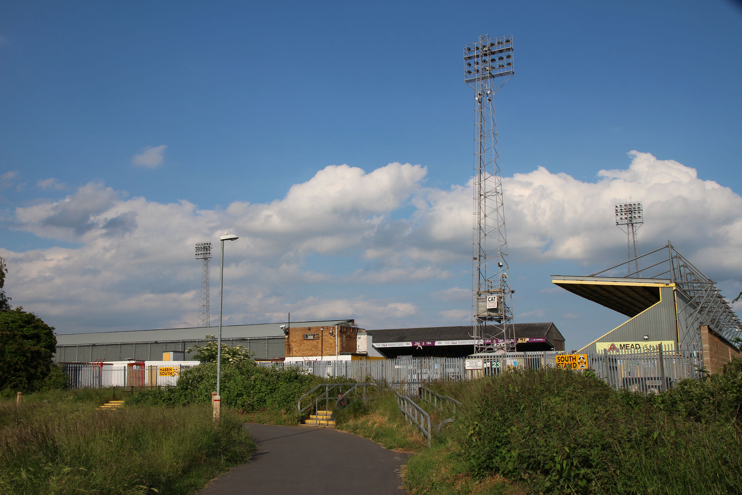
One of the stand entrances. It all looks freshly painted, but nothing has been done to make it look tidy or attractive.
Here the Chisholm Trail branches off to the left from the old path alongside the stadium.
The bridge over the brook here retains the mixture of black and bare metal finish that I noted when the trail first opened.
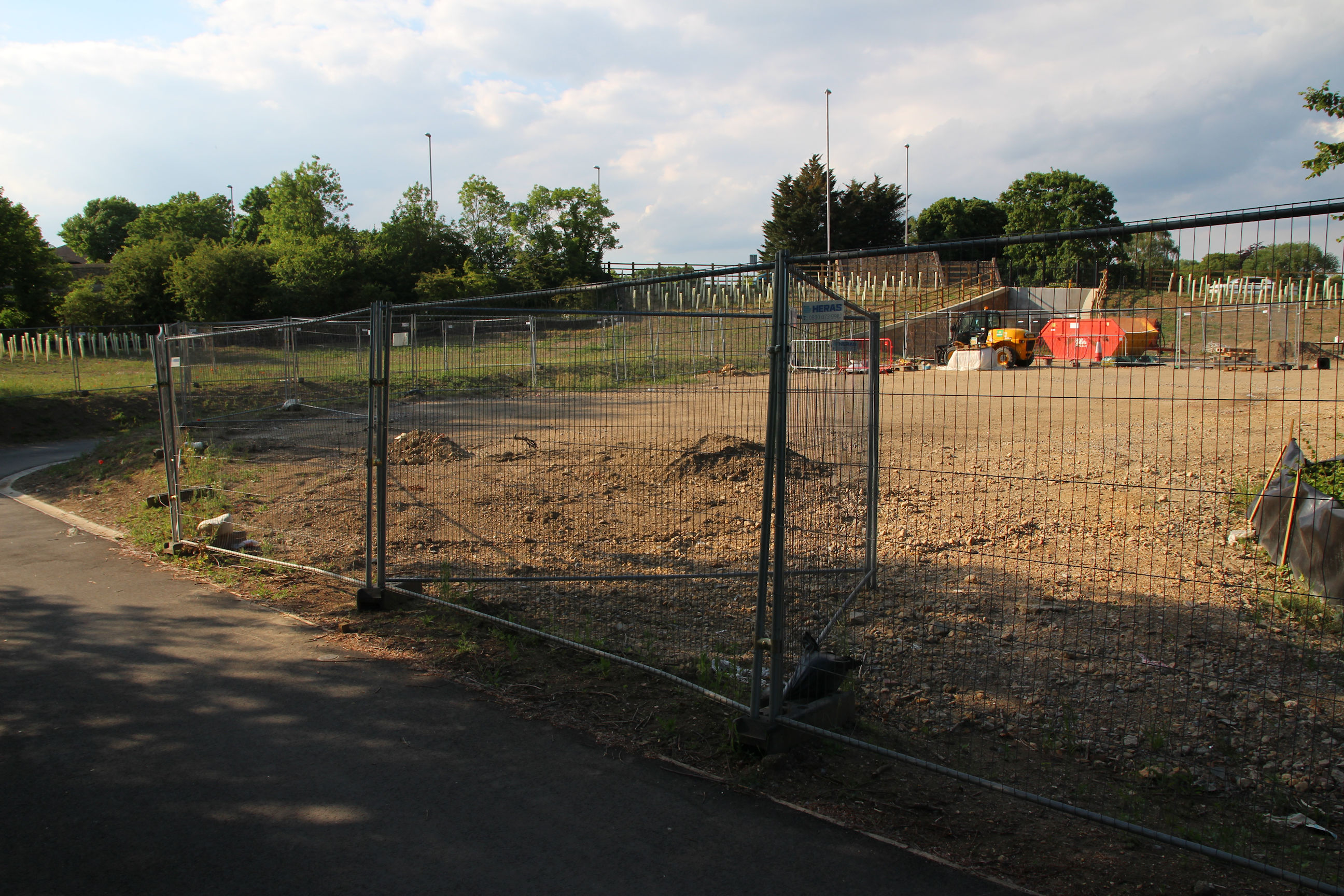
There are still construction barriers on both sides of it on the Newmarket Road side.
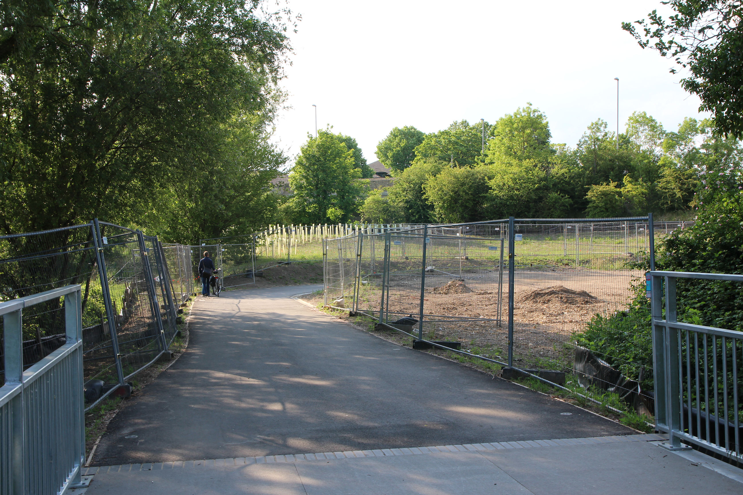
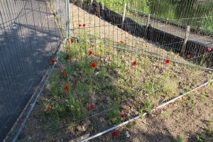
On the right, the land has largely been cleared now.
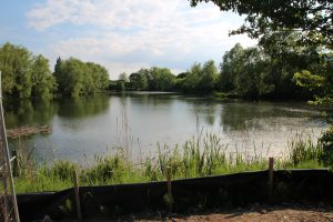
On the left, there was a gap in the construction barriers that allowed me to get some unobstructed views of Barnwell Lake.

This was taken a bit further round.
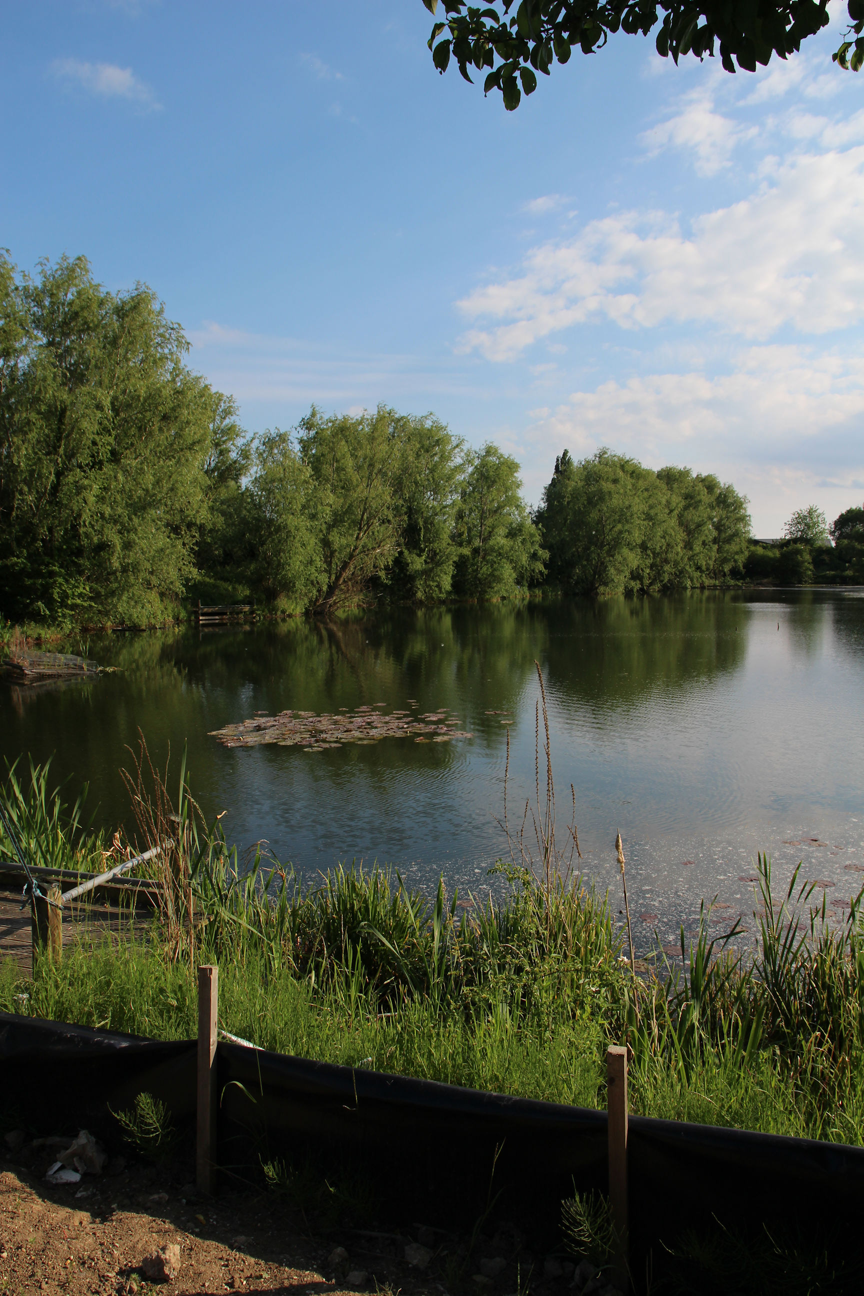
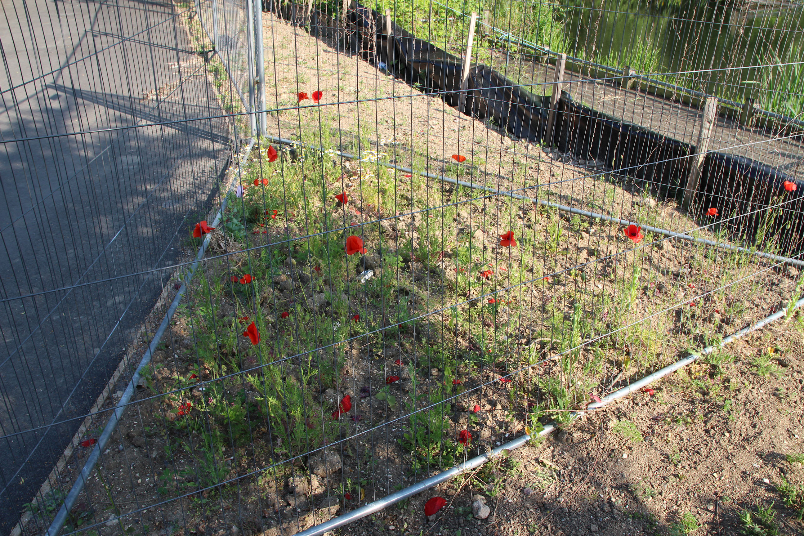
Some wild poppies have sprouted in this triangle between the construction barriers.
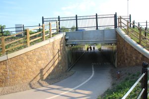
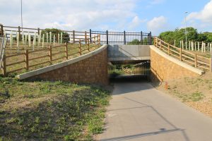
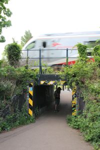
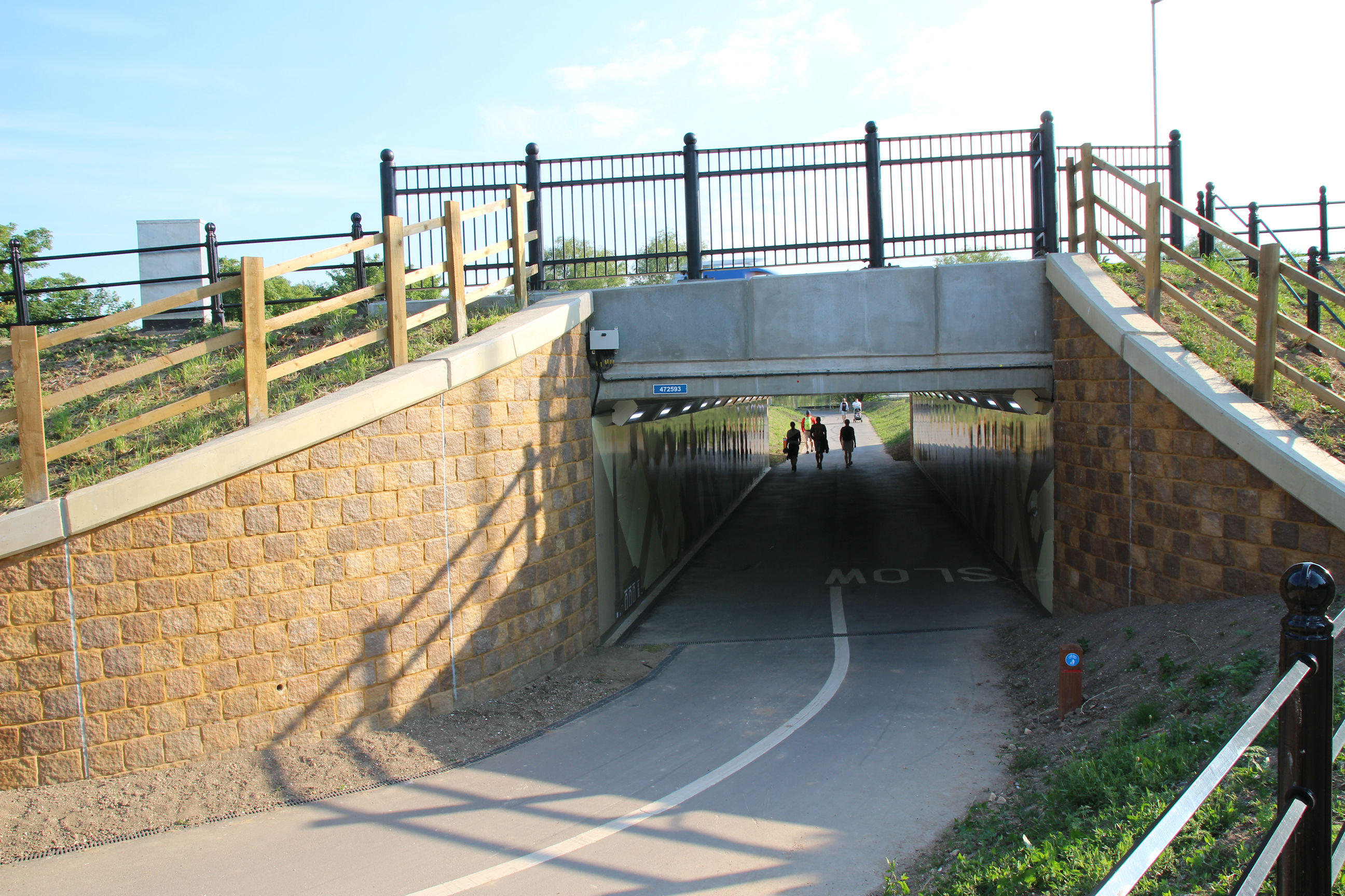
Newmarket Road Underpass
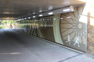
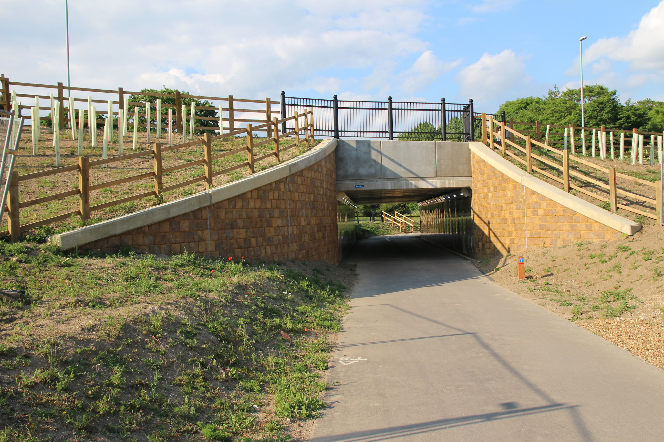
I’m now approaching the underpass under Newmarket Road.
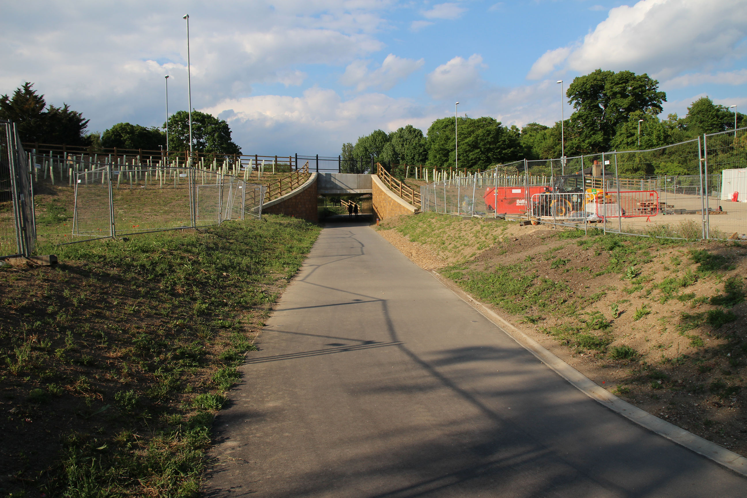
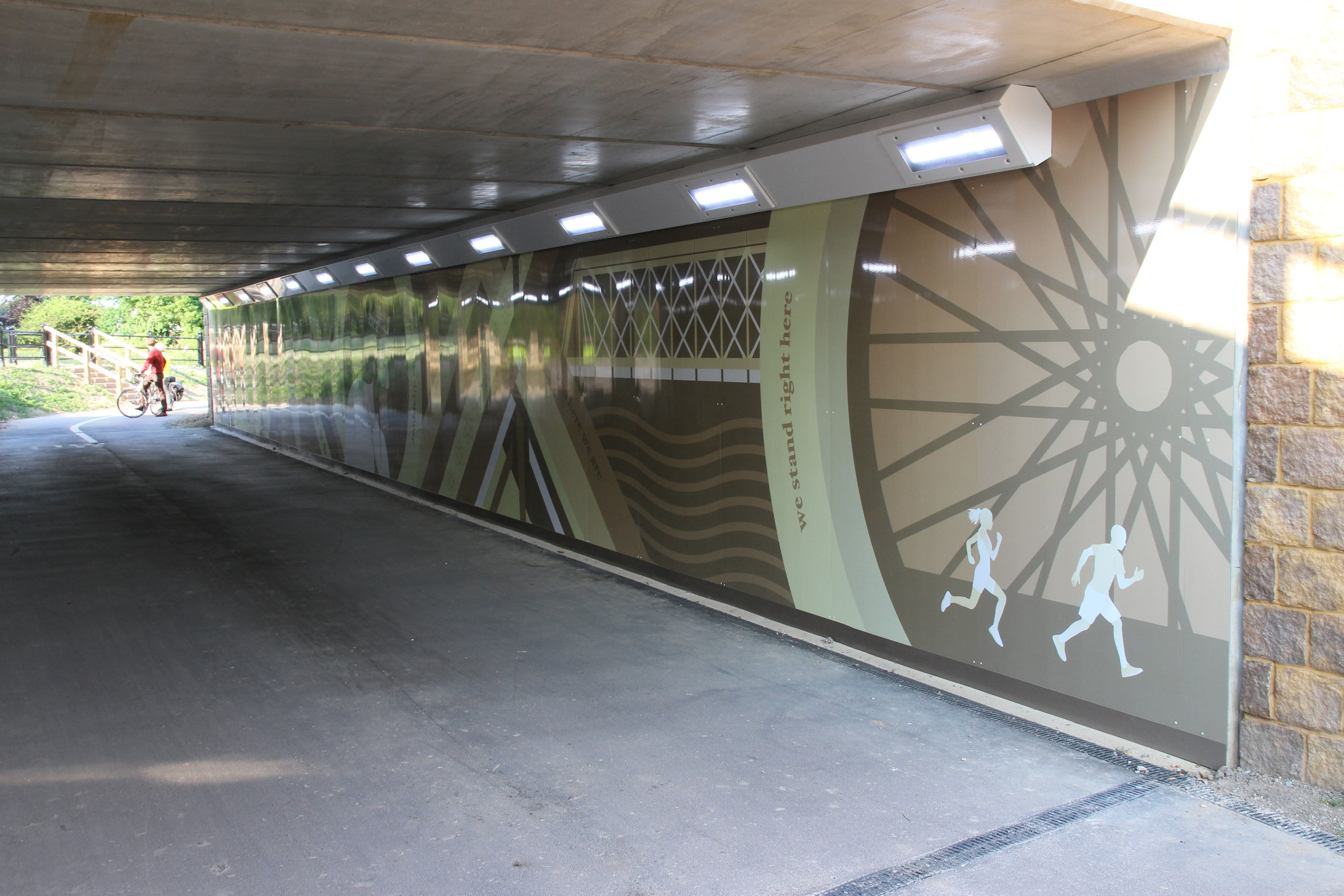
The cladding of the underpass portal is finished now.
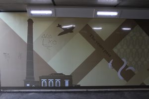
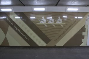
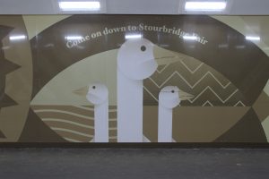
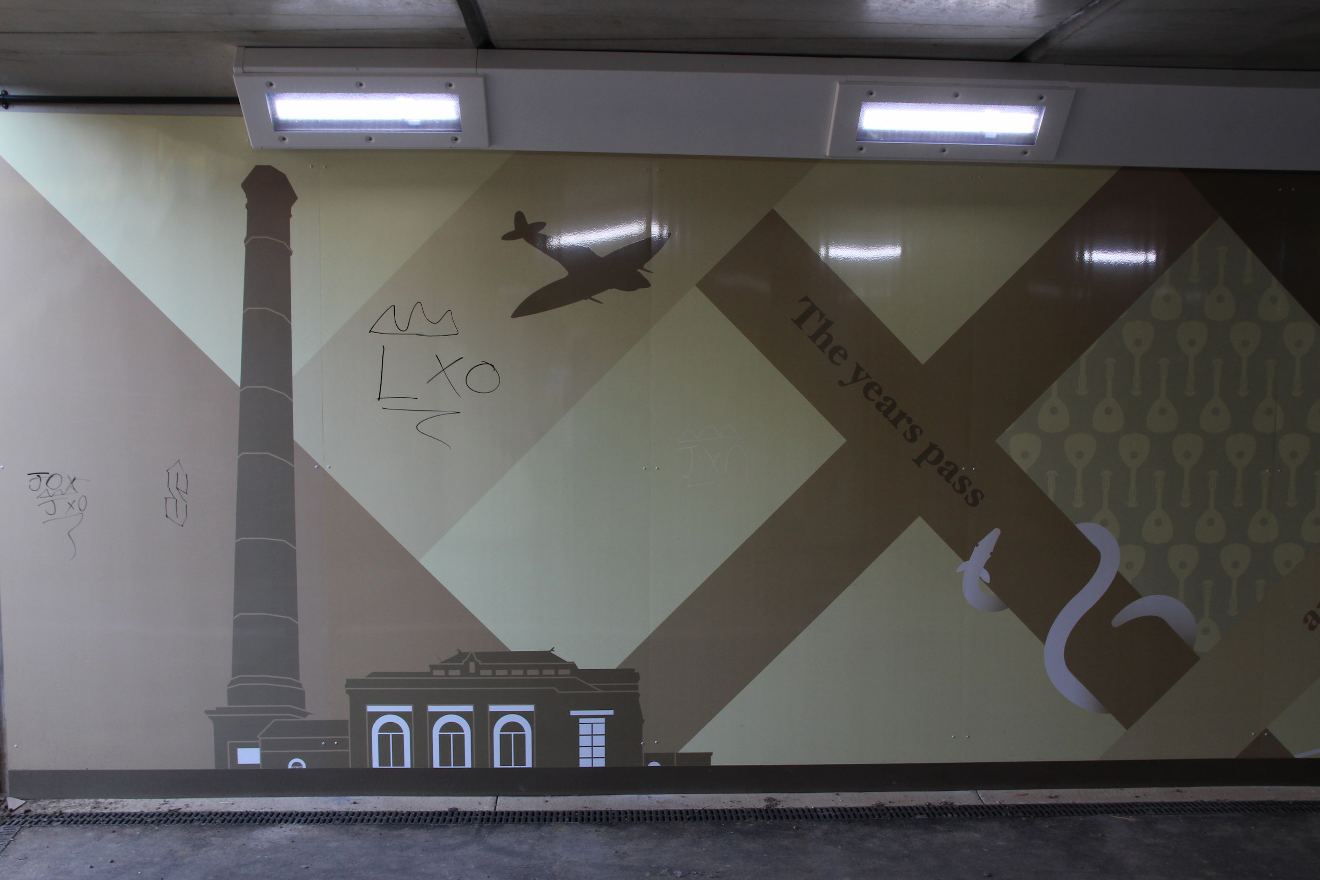
We now have some murals! I haven’t seen any publicity about these. Their themes echo those in the Newmarket Road Roundabout whose future is uncertain, including Stourbridge Fair, but their style is very different. Although I personally prefer the colourful Elizabeth Way ones, cyclists will come through here at speed and it makes sense to have something simpler and less distracting.
Photographing these murals in their entirety and creating panoramas will have to be a project for another time. Avoiding the reflections of the bright LED cornice lights on the glossy surface would probably only be possible if I stood on a step stool.
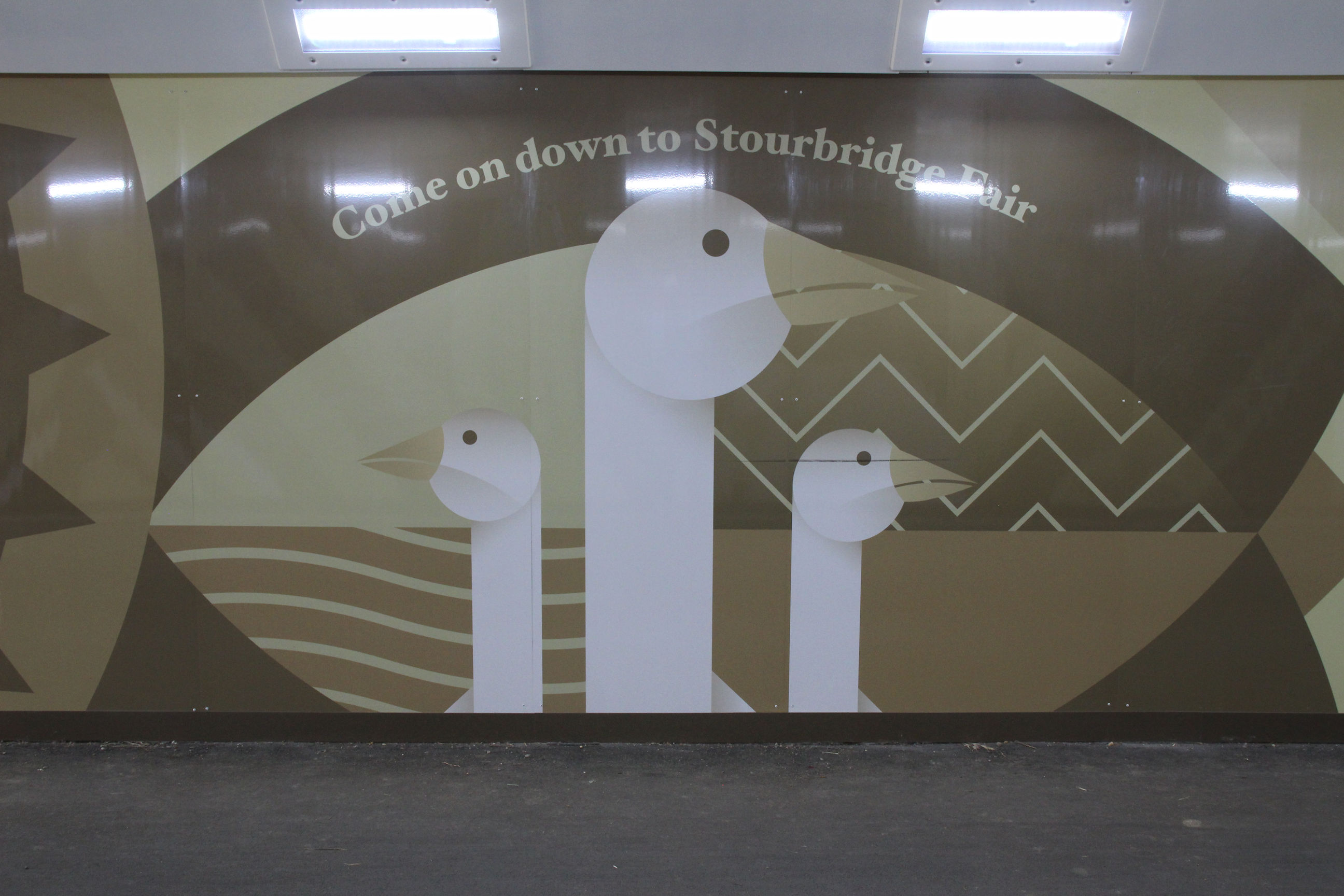
For now here are a couple of general pictures to give some idea of them. This section features some rowers.
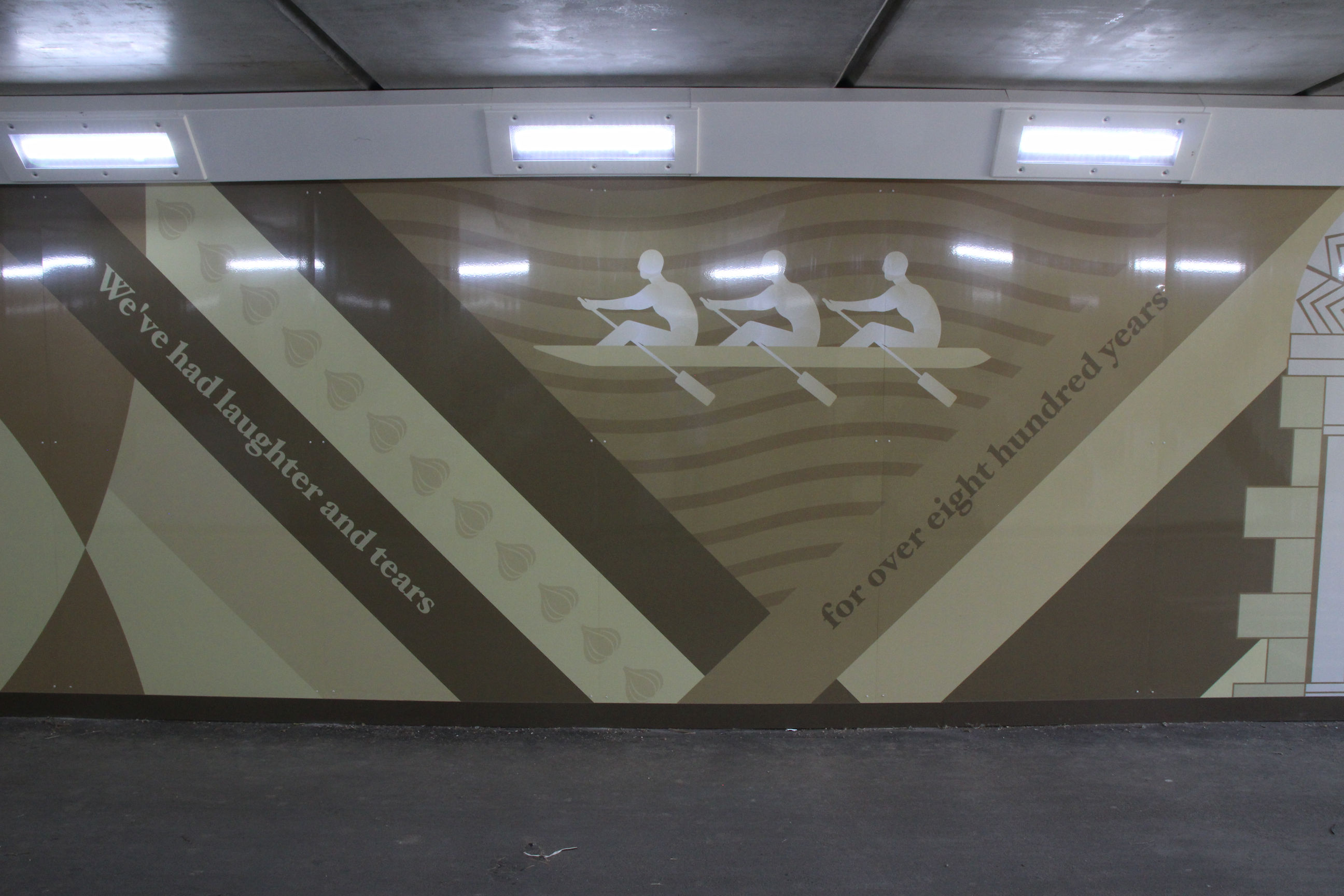
And here we have the Museum of Technology. Sadly someone has already started scribbling on them. Hopefully these murals will be easy to clean without leaving signs of damage, unlike the mosaic tiled surfaces in Elizabeth Way.
This shot gives a general idea of what they look like in their entirety.
This is the view looking back into the underpass from the north side.
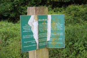
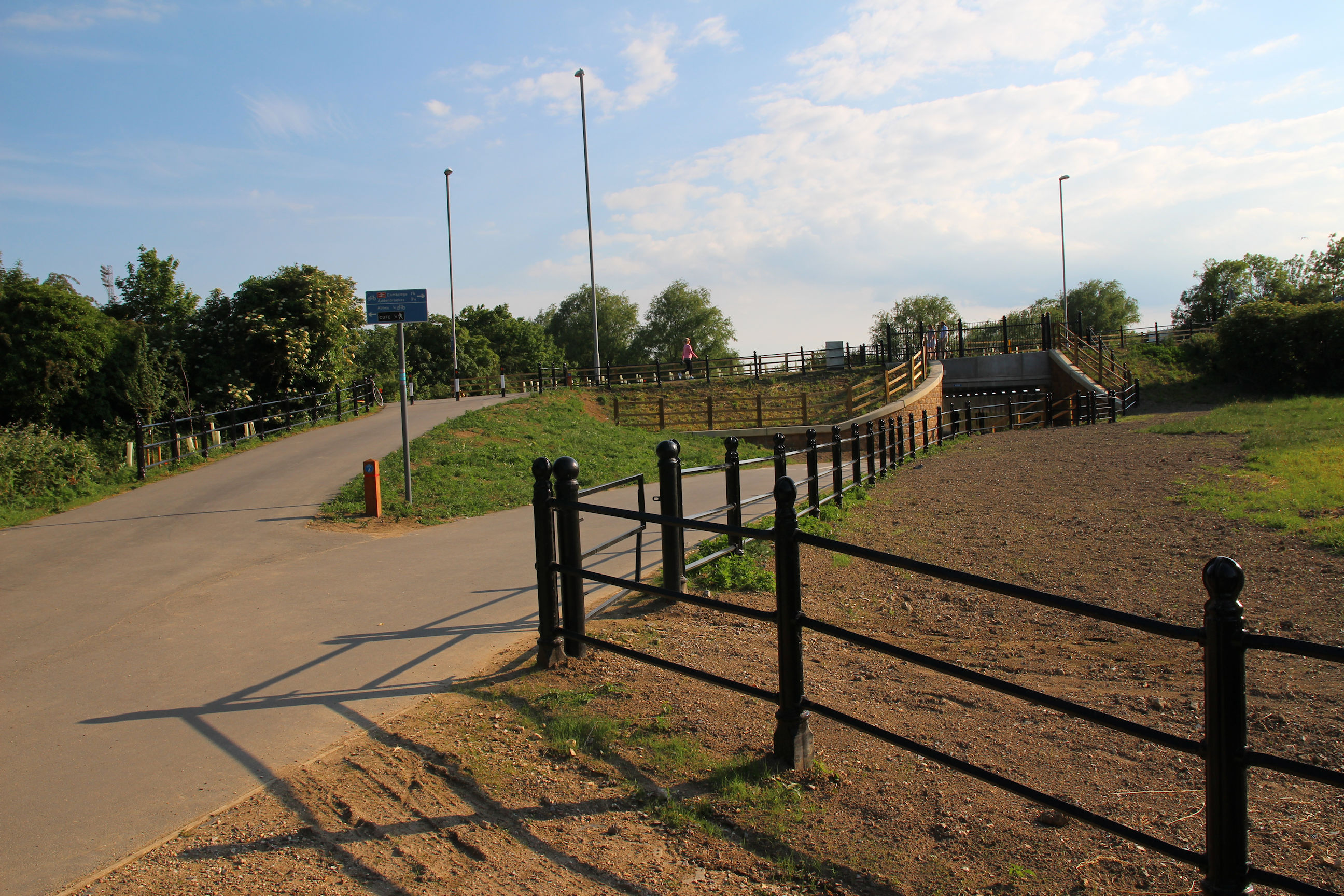
Ditton Meadows
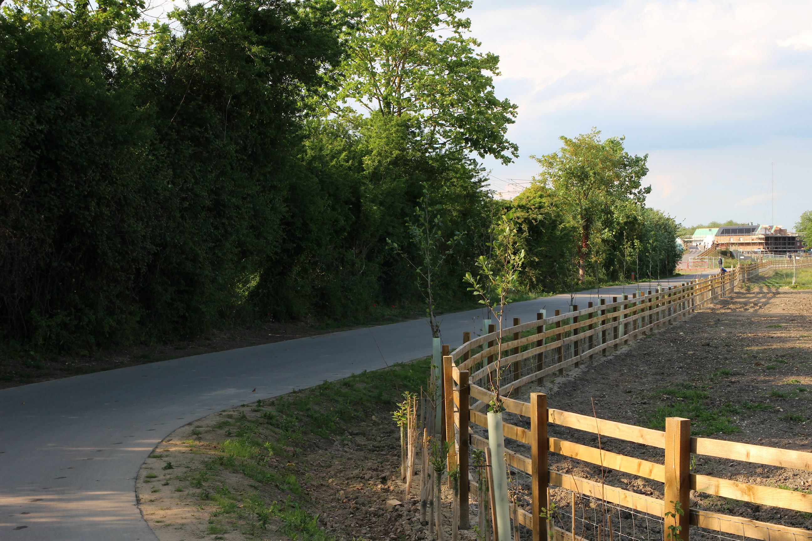
The trail continues towards Ditton Meadows.
Looking back towards Newmarket Road, the construction is finished but there is still bare earth to the side.
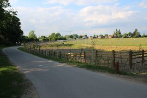
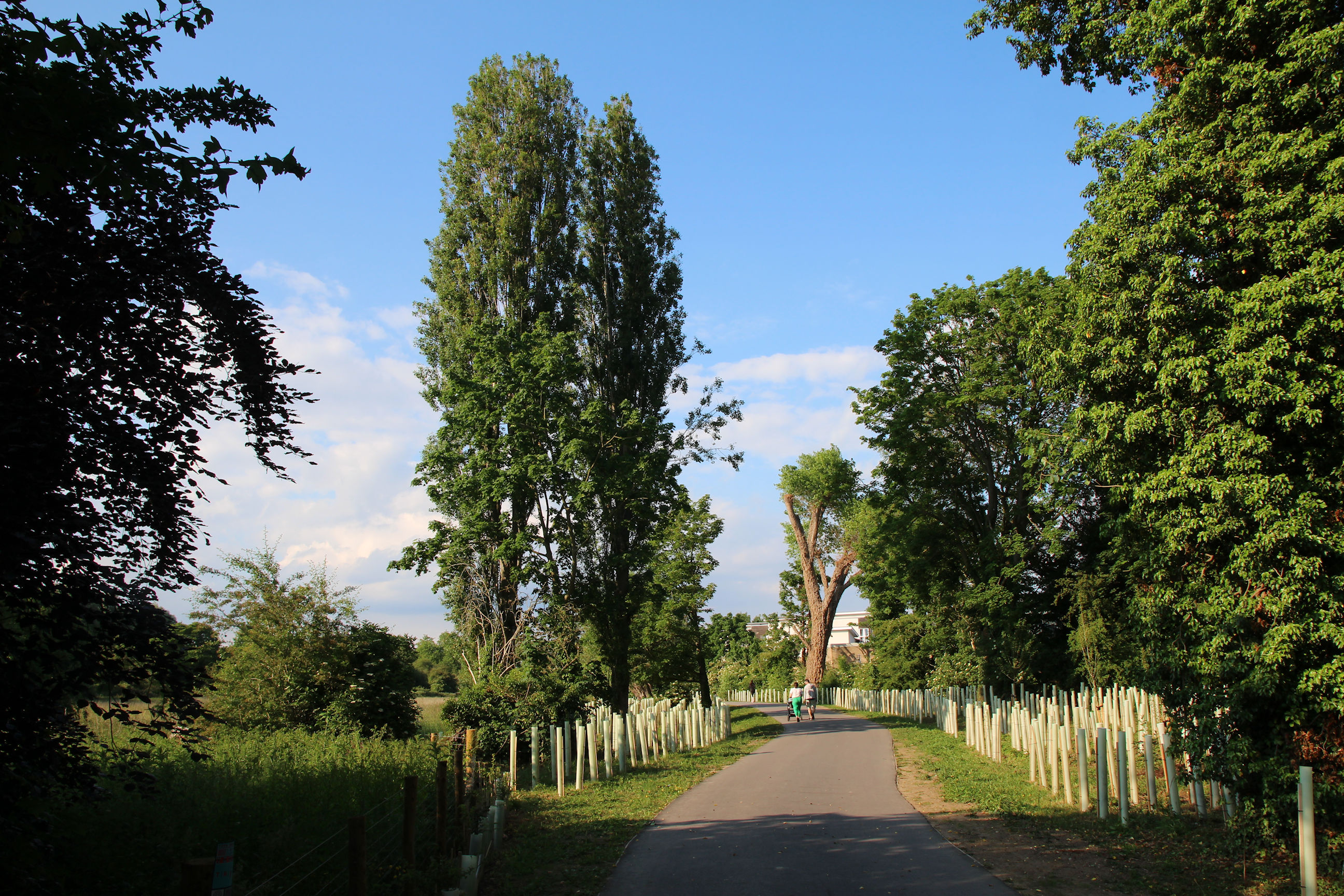
There’s new planting along both sides of the path here.
These flats have a good view across the path.
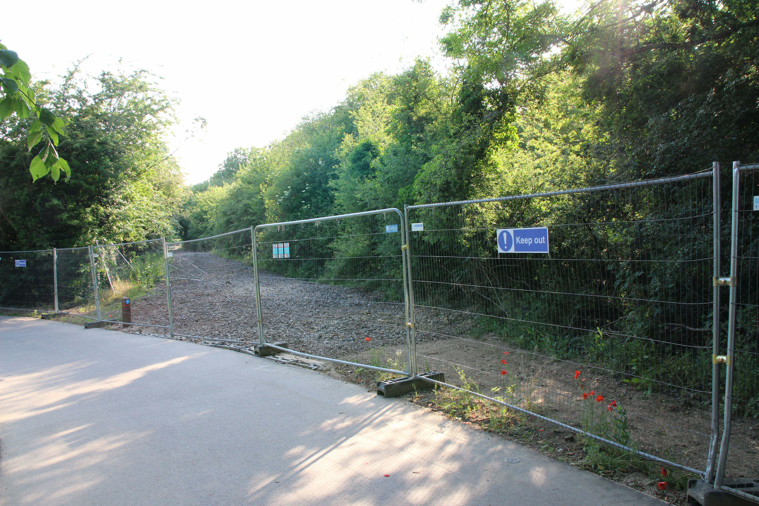
Further on, there are construction barriers closing off a bare earth path. This may only have been here for construction access.
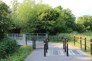
Here, the Chisholm Trail path branches left to run around the edge of Dittron Meadows alongside the railway track.
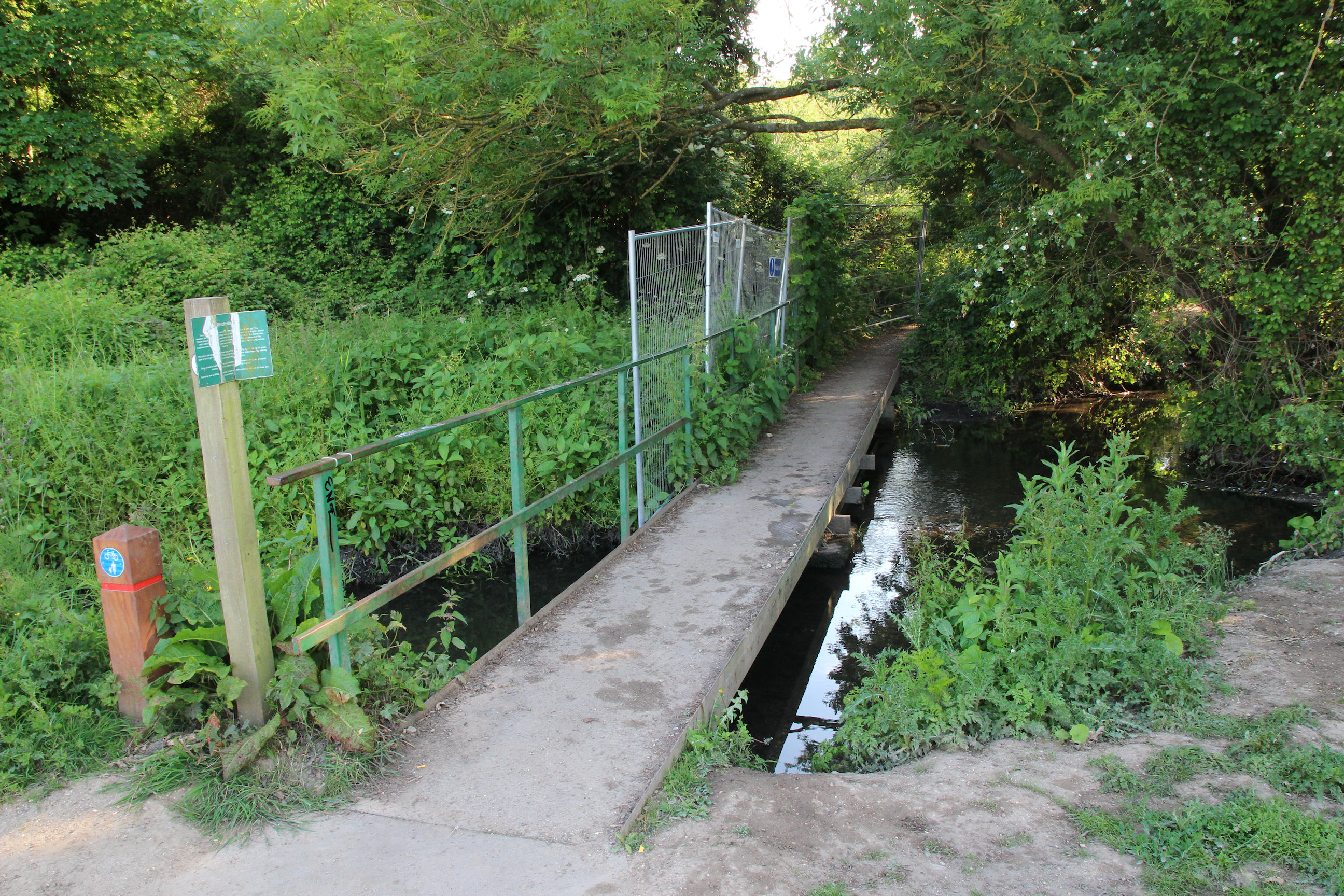
The path across the brook leading to the railway footbridge across to Stourbridge Common is unchanged, although some barriers have appeared.
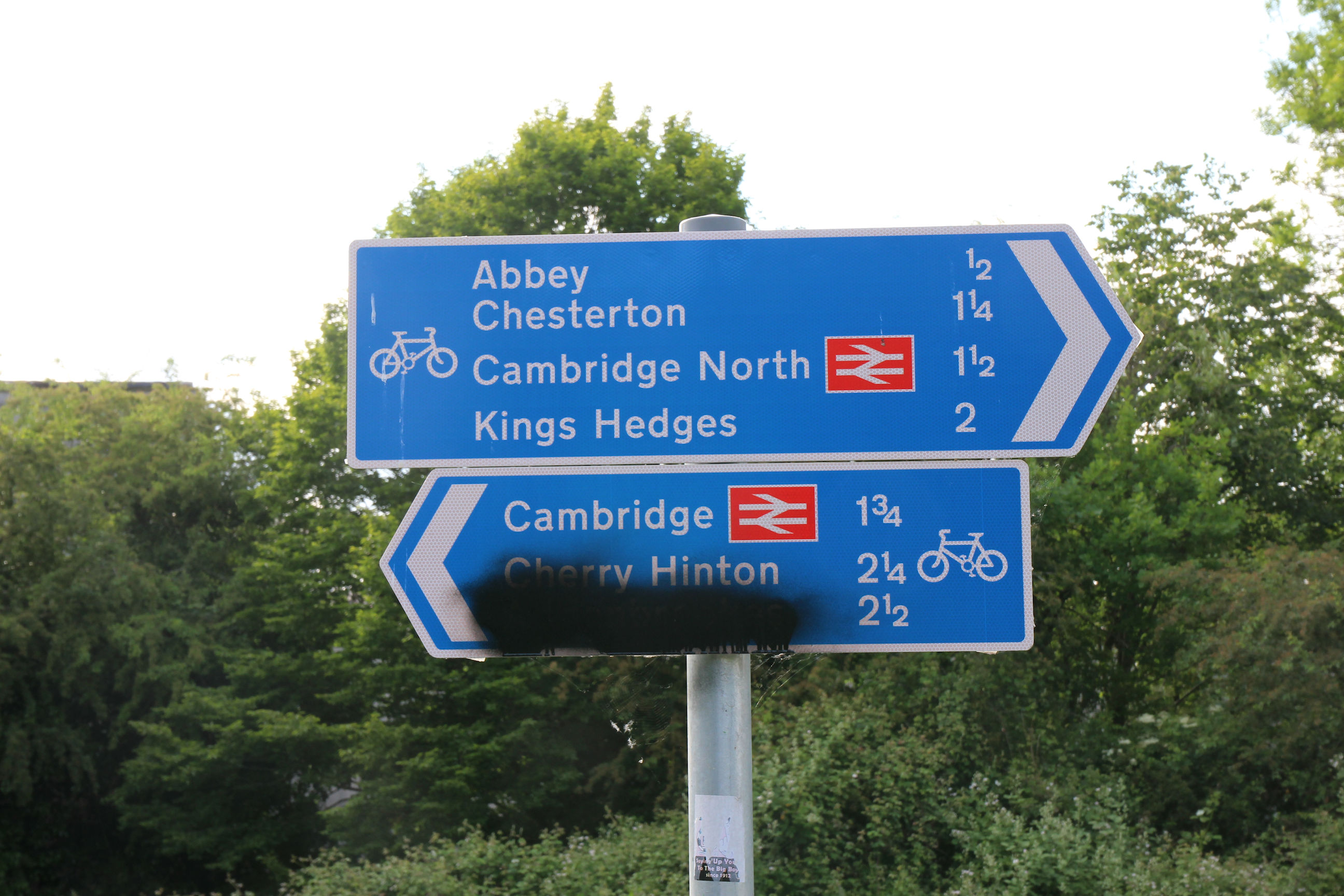
A new sign is needed here too.

The path towards the cycle/footbridge looks finished.
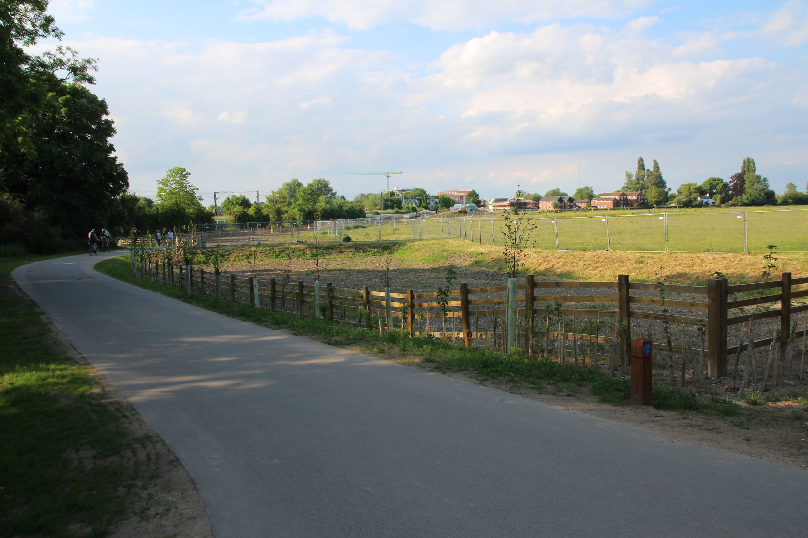
On the Ditton Meadows side of the path, there is still bare earth and construction barriers. Presumably this is being seeded with new grass.

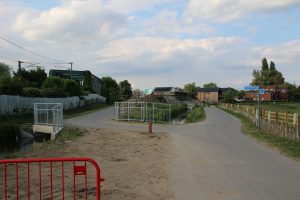
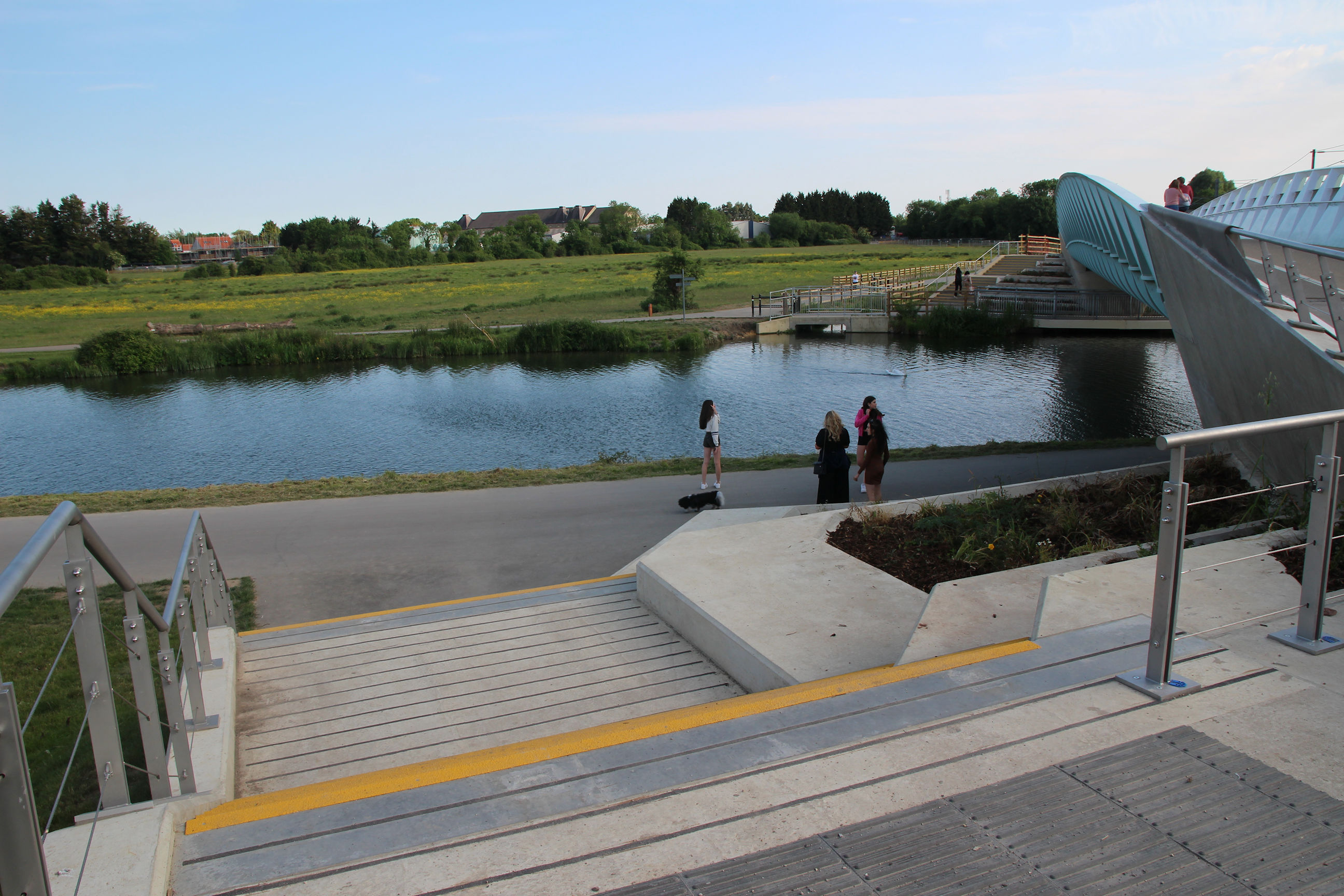
The place where the path splits off towards either the new river bridge (left) or towpath (right) still doesn’t look quite finished; there is bare earth and a red barrier.

Just in time to spot another train heading south to Cambridge Station.

It’s just emerged from the railway bridge over the river.

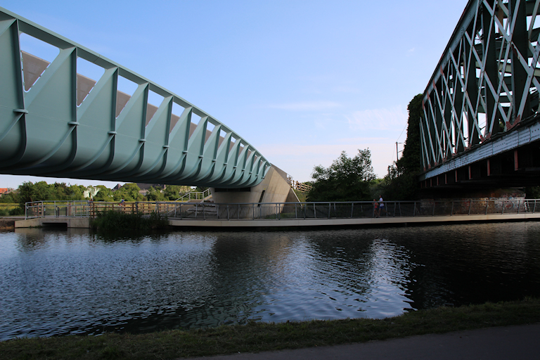
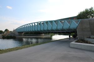
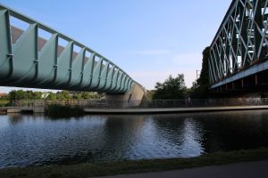
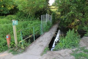
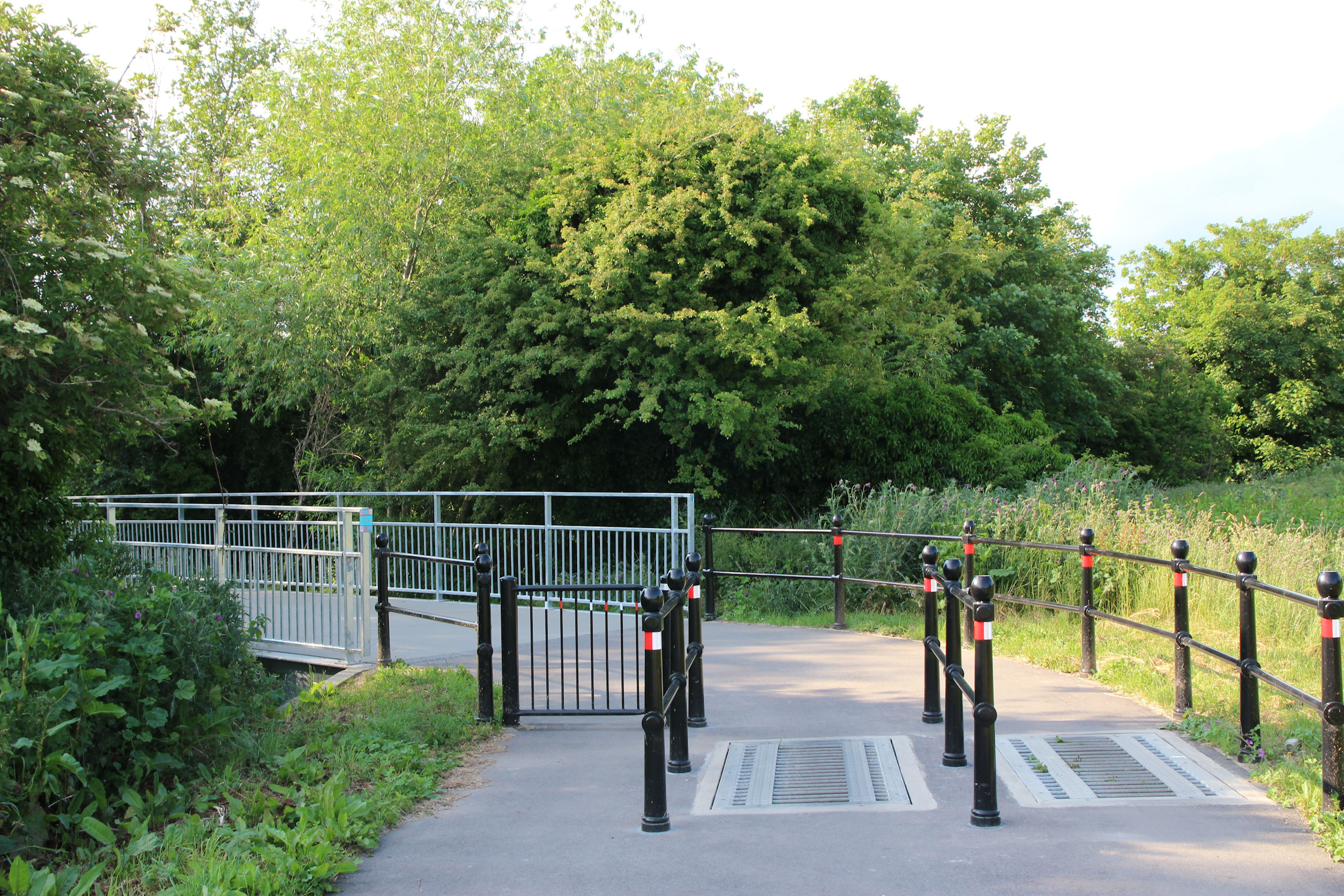
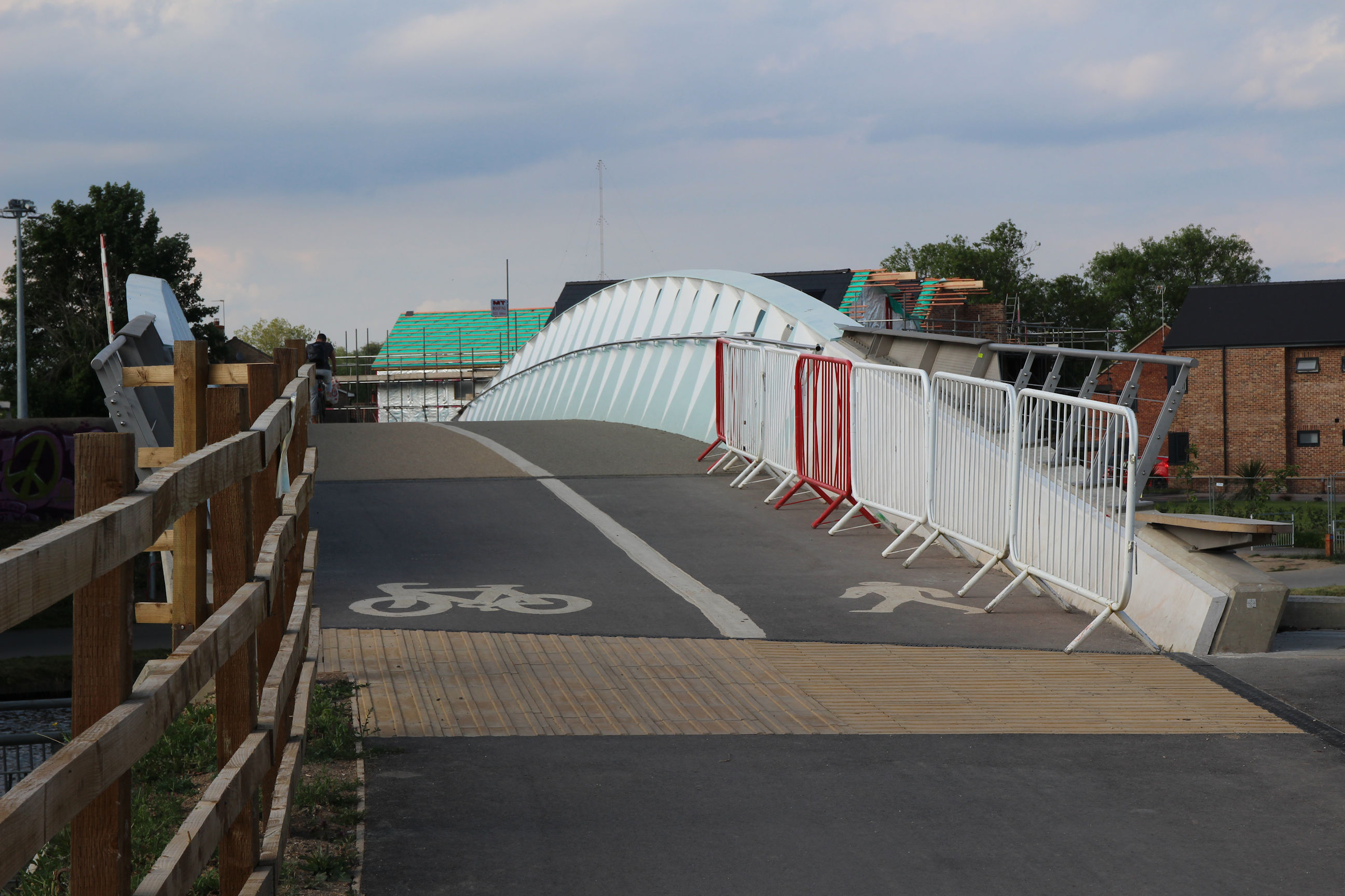
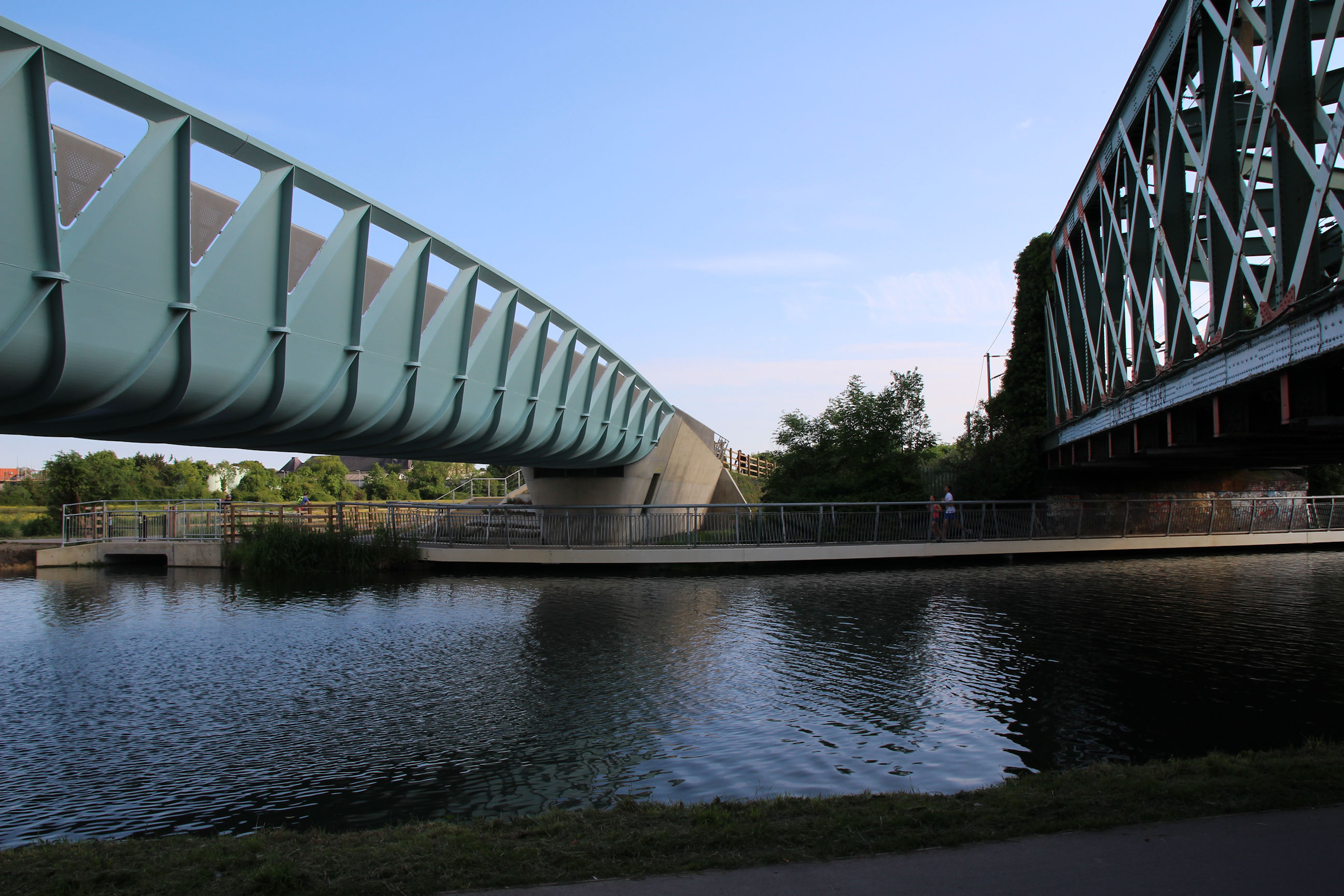
River Cycle/Footbridge
The new cycle/footbridge now has some temporary barriers at the entrance. These replace a wooden barrier that was here when I visited in January, before the metal bars visible behind them had appeared.
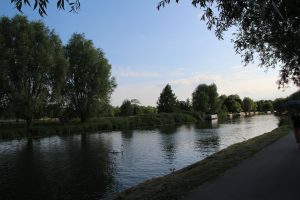
This is the view east along the river from the top of the bridge.
On the Chesterton side of the bridge there’s building work in progress.
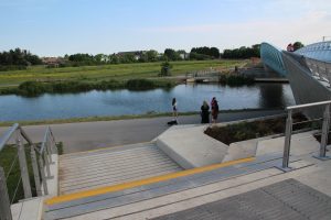
I’m now leaving the bridge via the steps down to the towpath, looking back across the river towards Ditton Meadows.
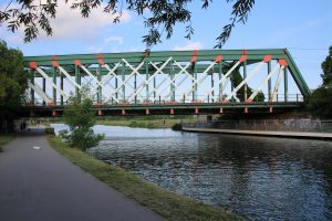
The foot/cycle bridge as seen from the towpath, with the railway bridge behind.

Beside the footbridge steps there are several tiers of new plants, which will eventually grow up and hide the concrete.
A view back across the river between the two bridges.
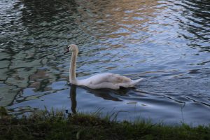
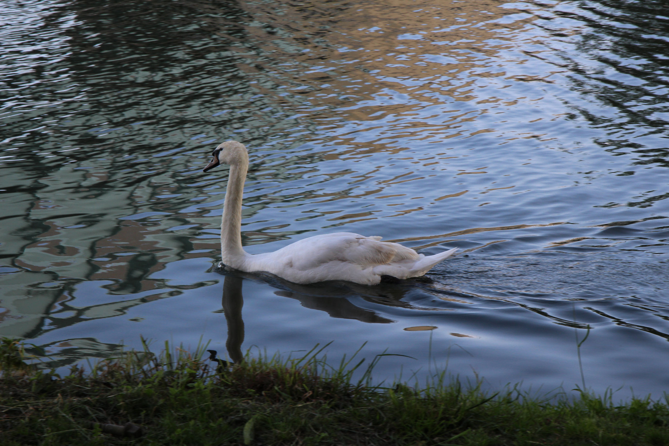
A swan… I think. Birdwatching isn’t my thing. Someone will probably tell me it’s a goose.
Looking back along the river, the railway bridge mostly obscures the cycle/footbridge behind it.

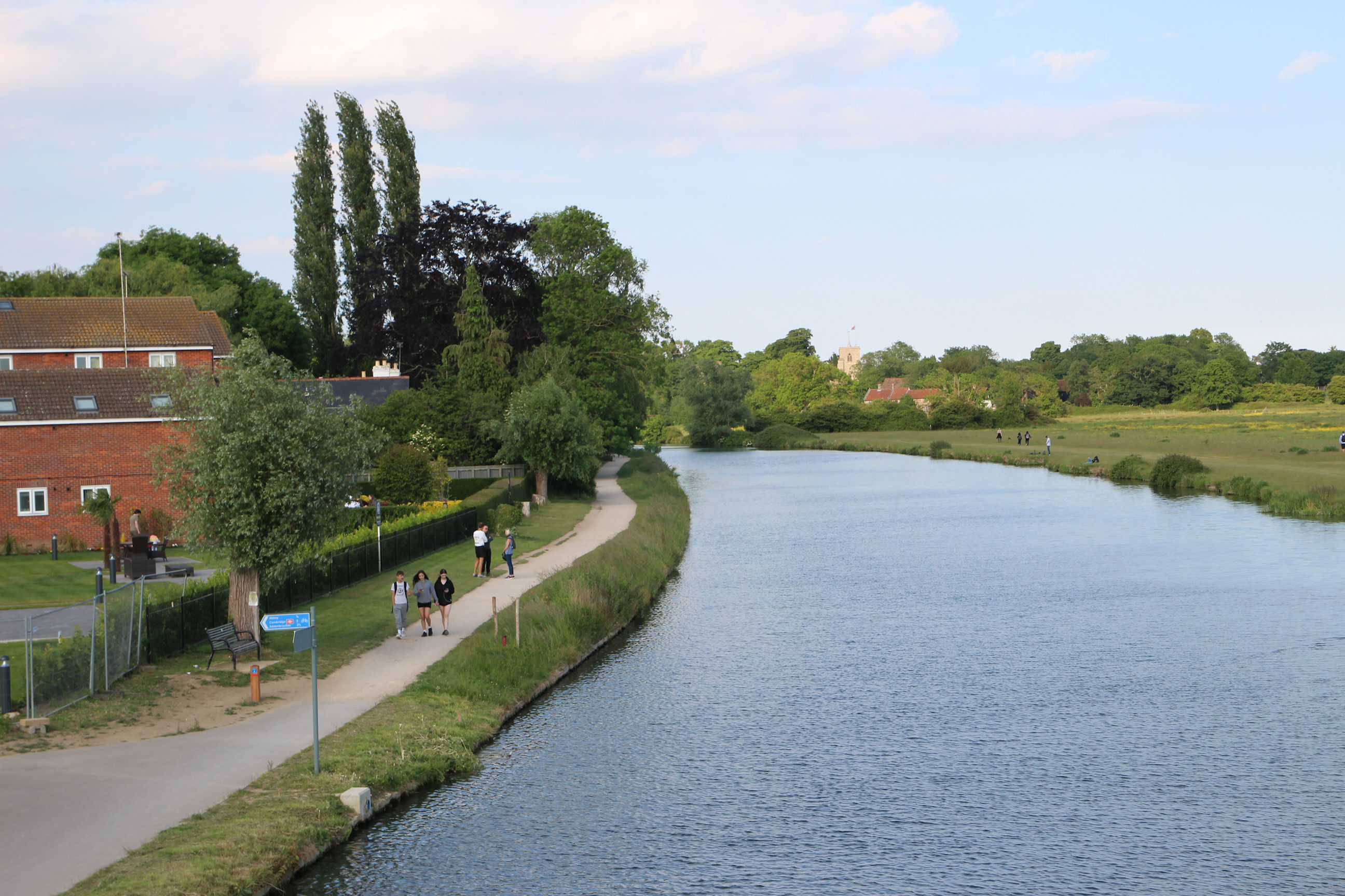
The general view west along the towpath.

Fen Road
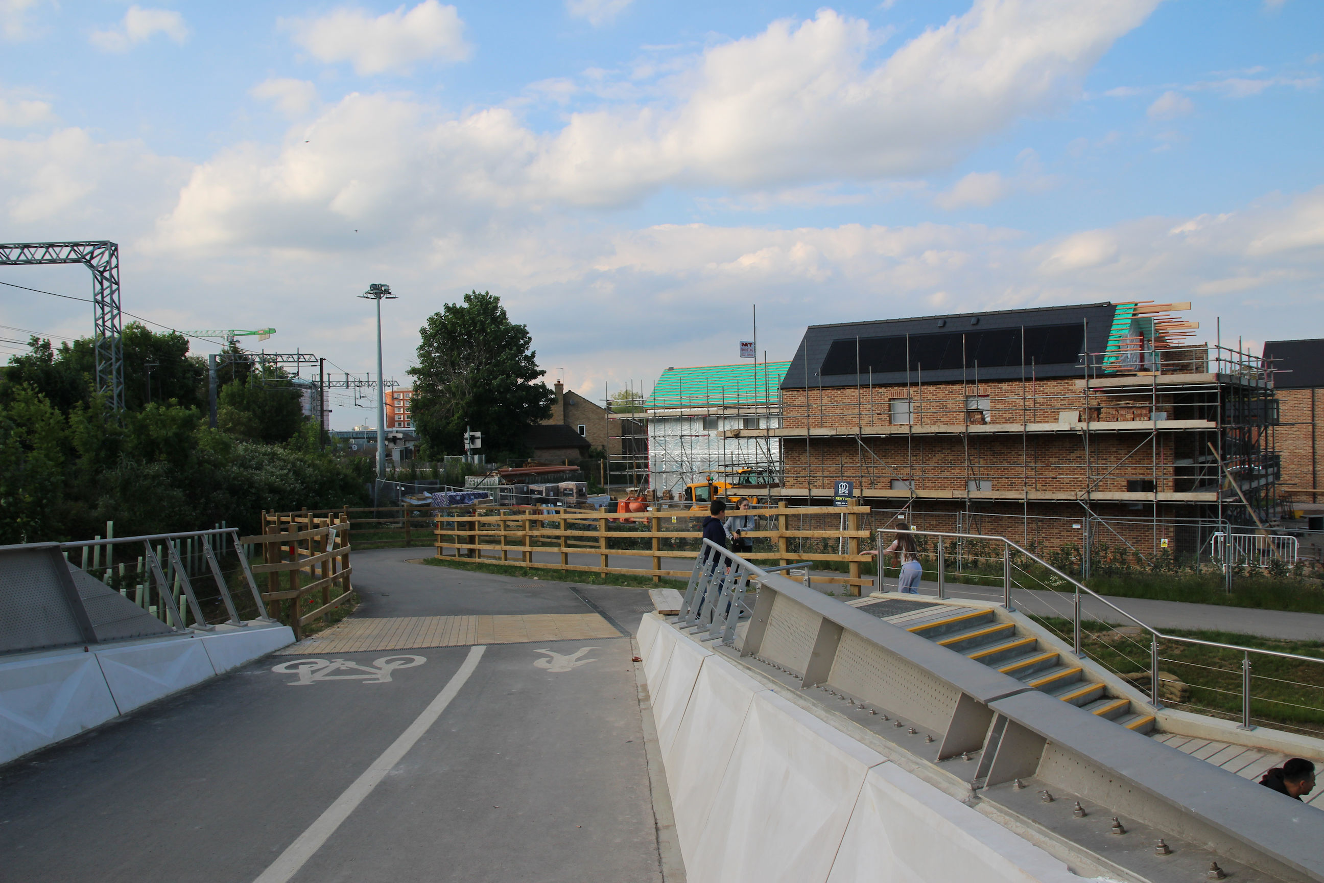
From the towpath the trail cuts through to Fen Road here.

The roadworks all look complete, but there are construction barriers behind.
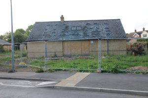
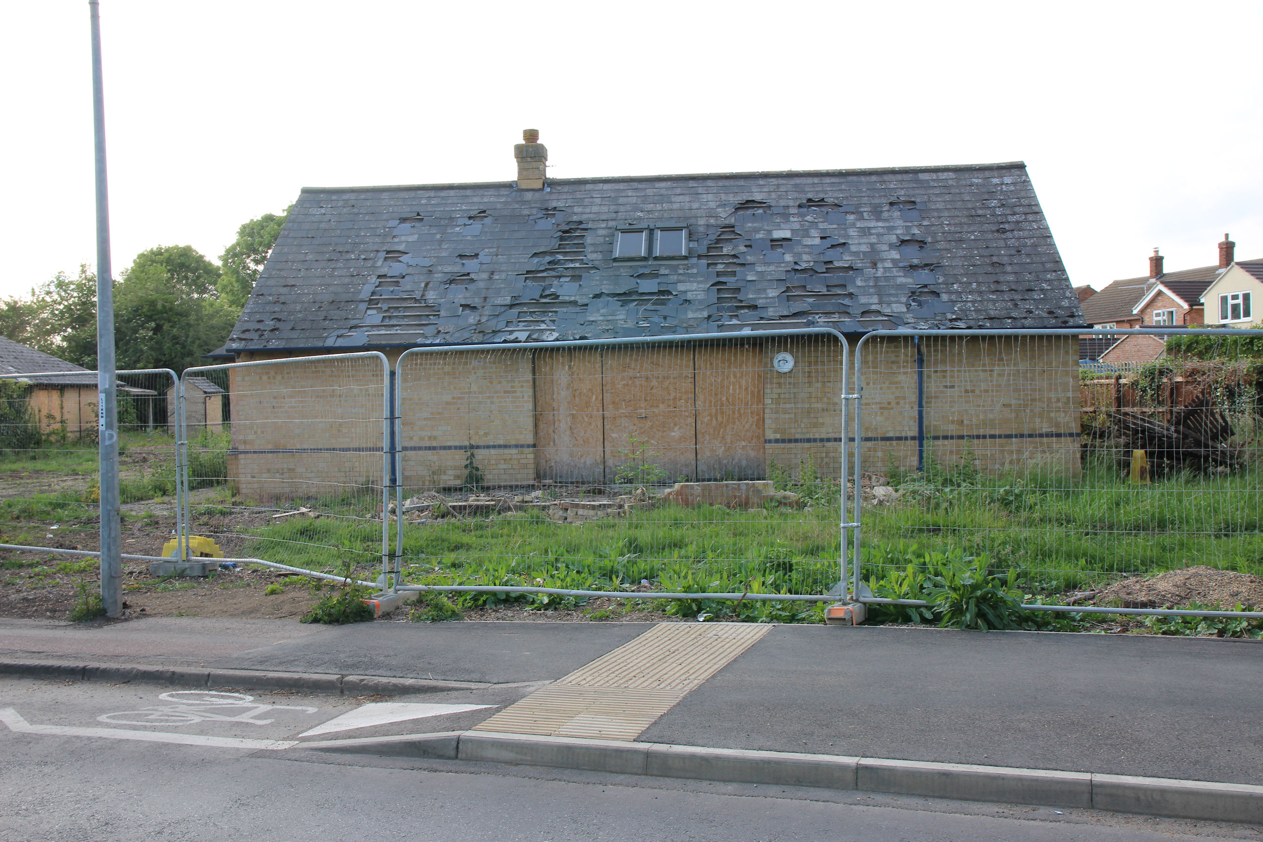
Presumably this building is about to be demolished. I don’t know what it was; I’ve never paid any attention to it before.
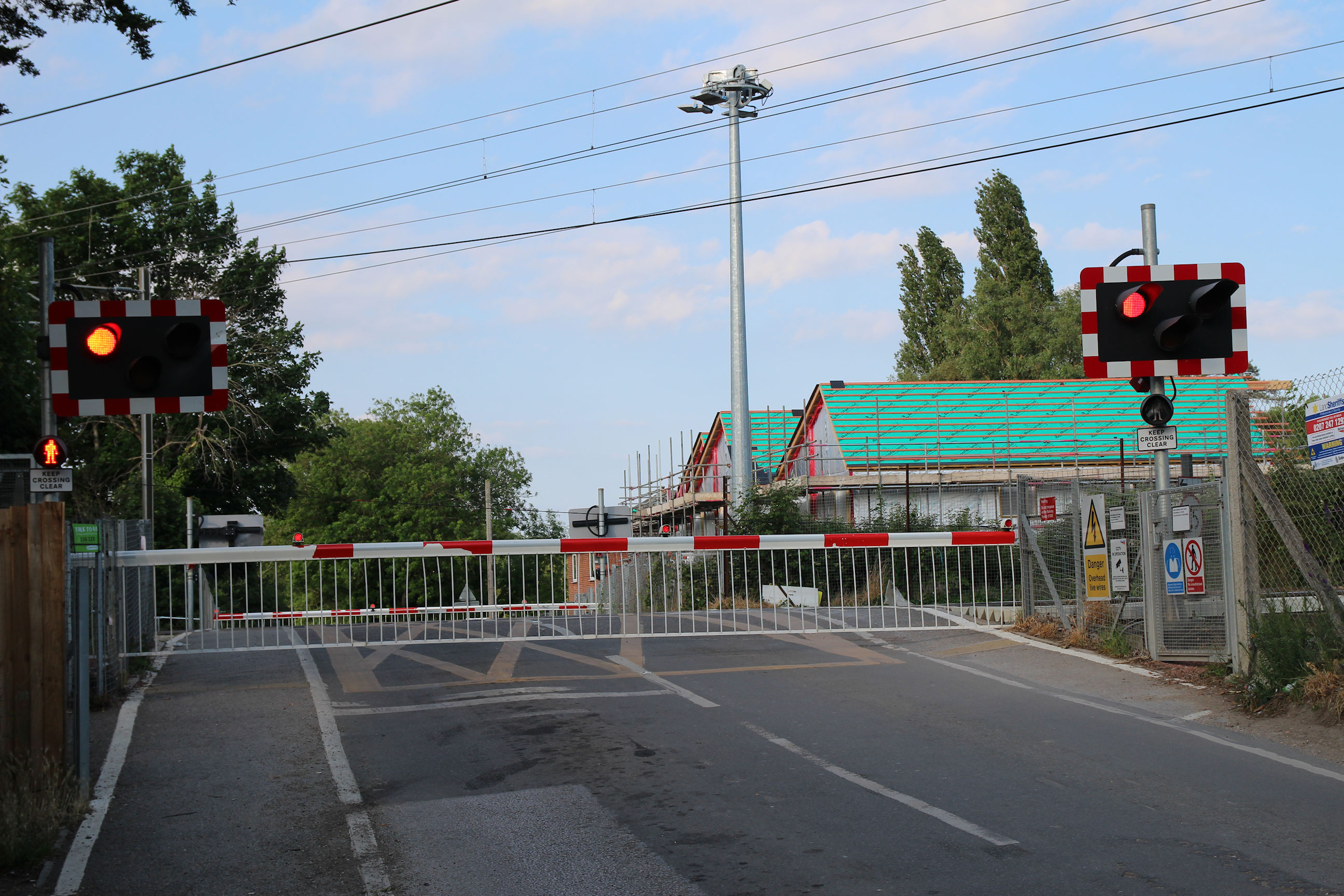
The level crossing barriers are down for another train.
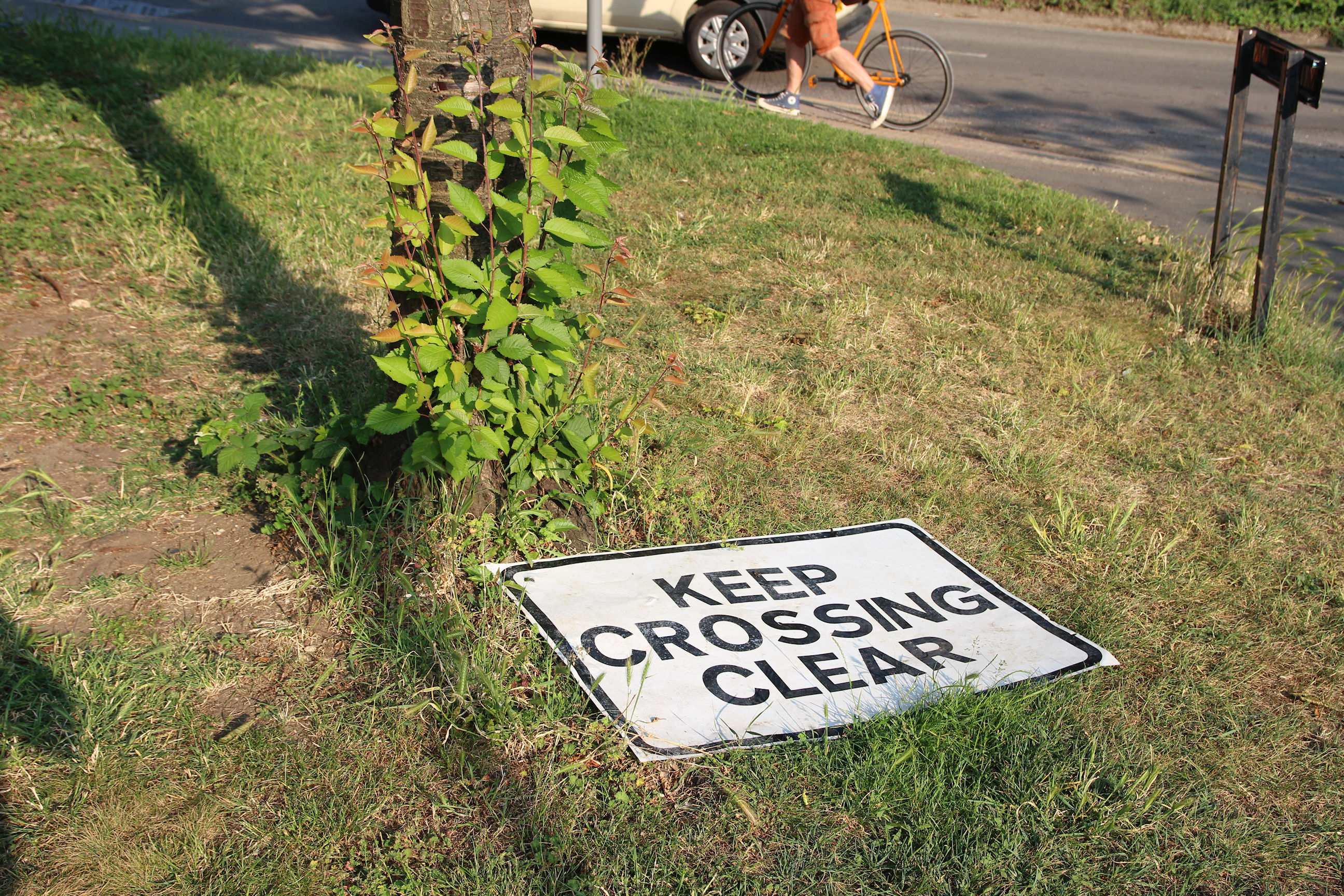
… but this sign is doing a lot of good down here!
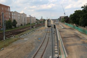
I’ve walked along Moss Bank and am now entering the cycle/footpath to Cambridge North Station.
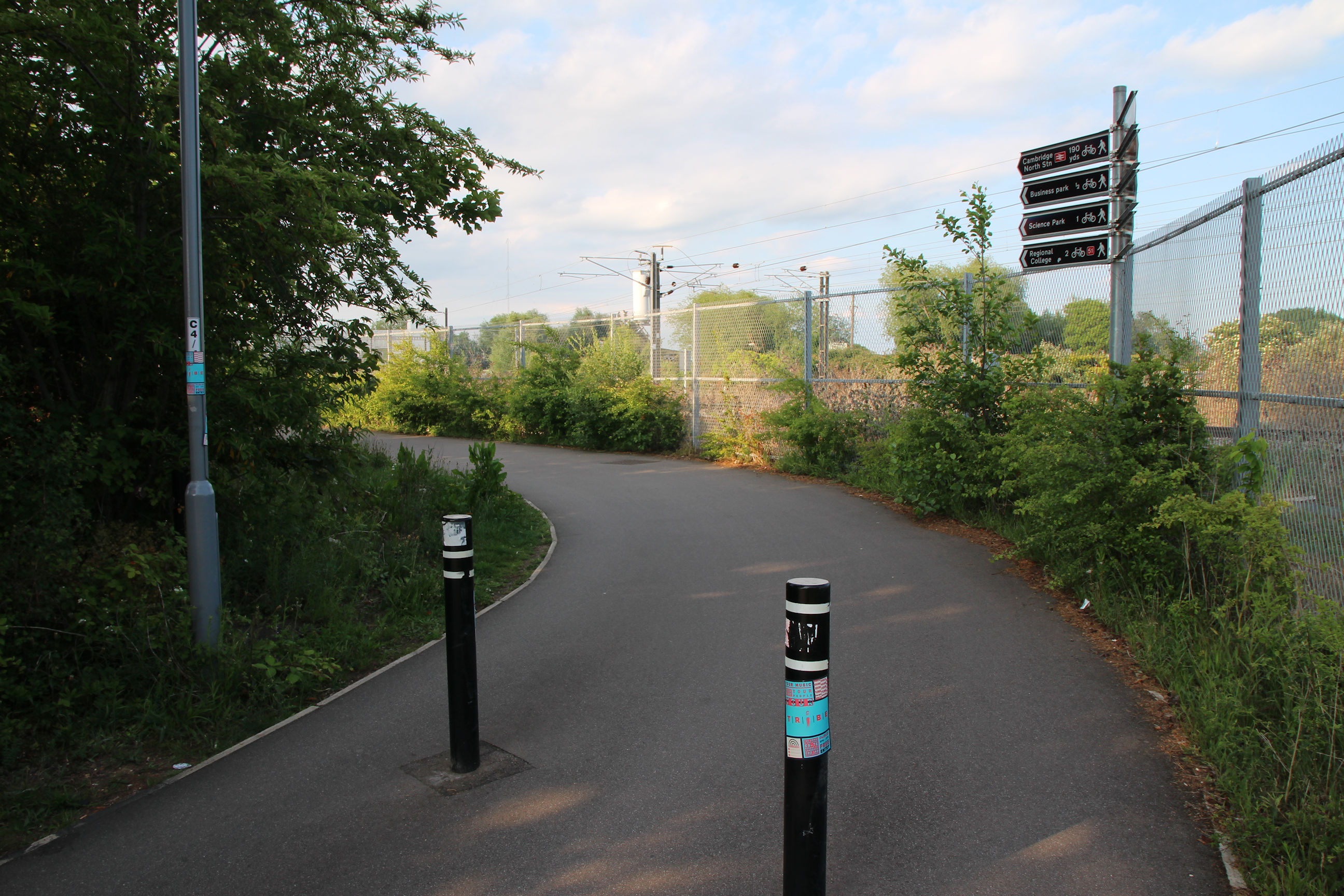
Cambridge North Station
Approaching the station, there’s a large building being constructed opposite it.

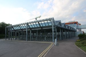
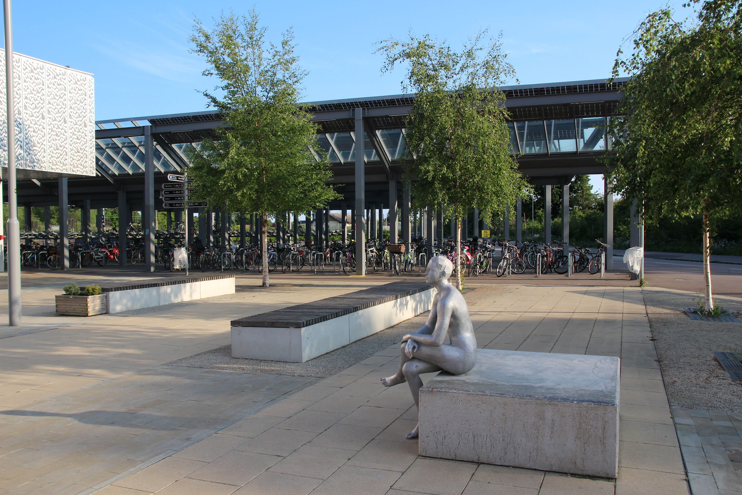
The station cycle park – unusually empty as today is a Bank Holiday for the Queen’s Platinum Jubilee celebrations.
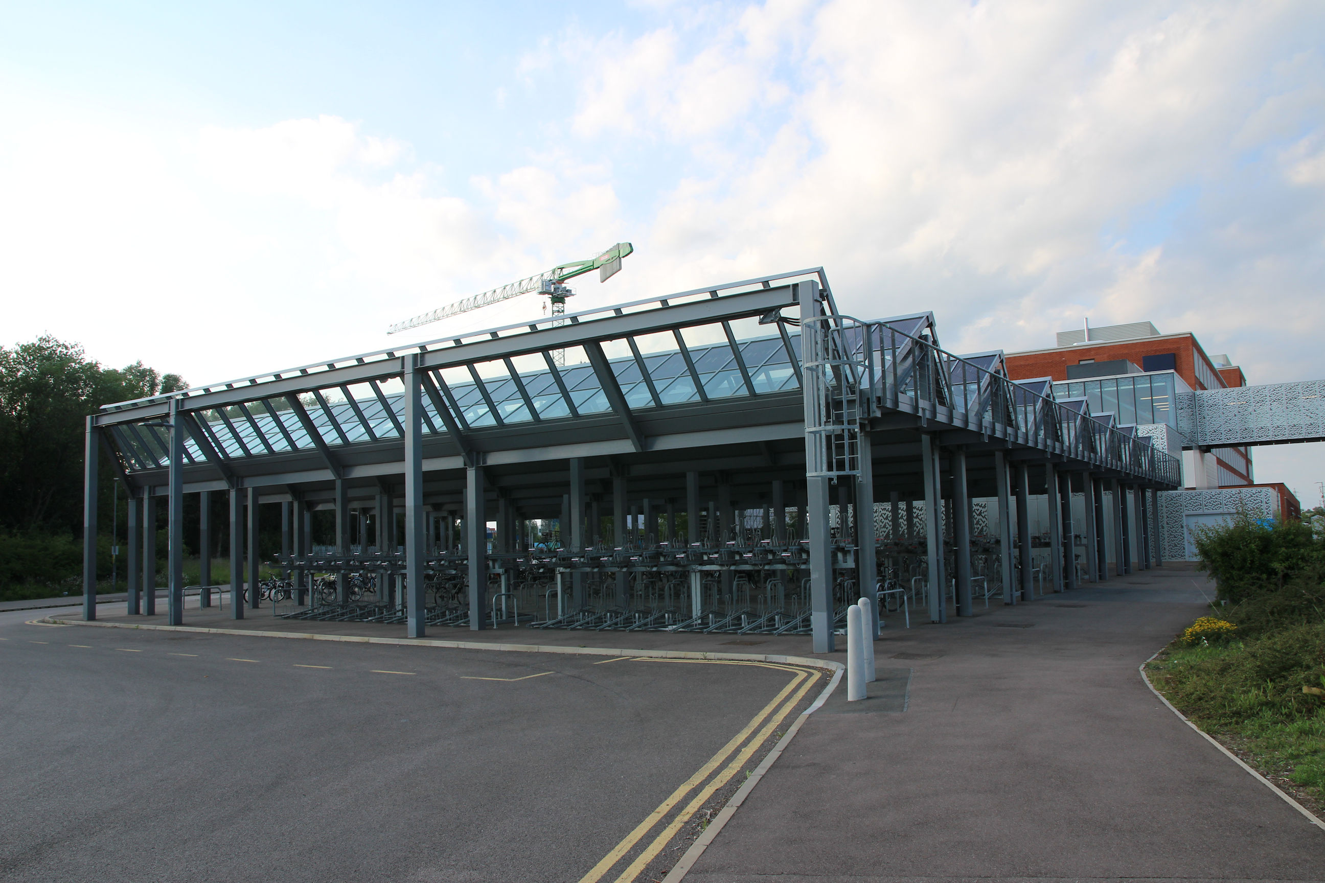
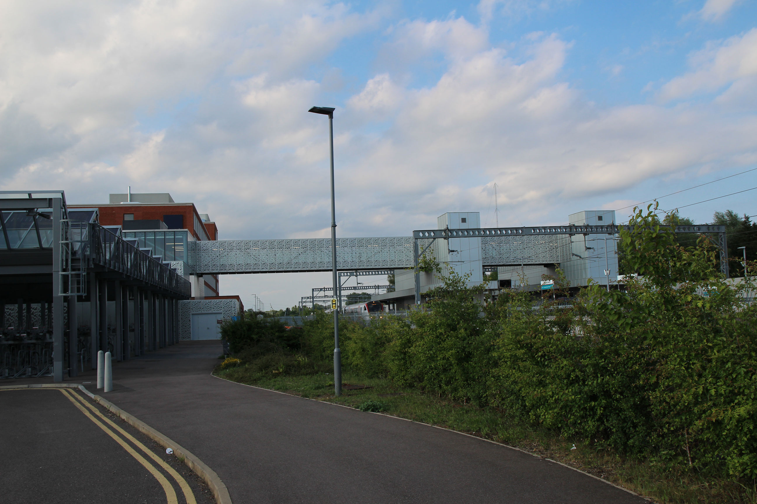
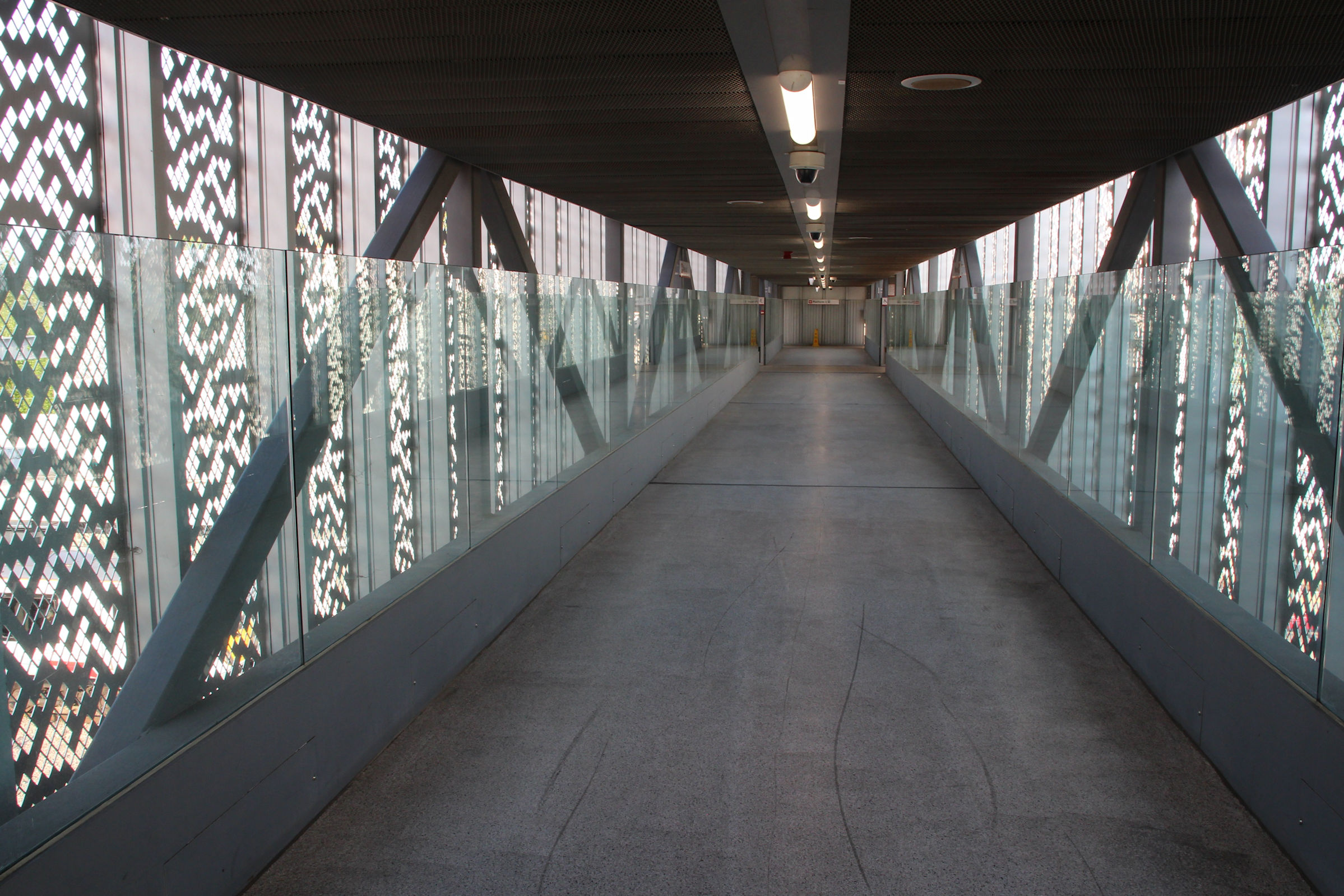
The station footbridge across to the platforms.
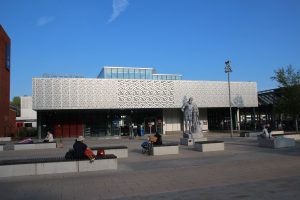
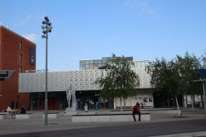
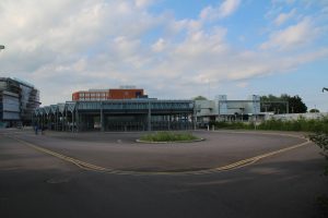
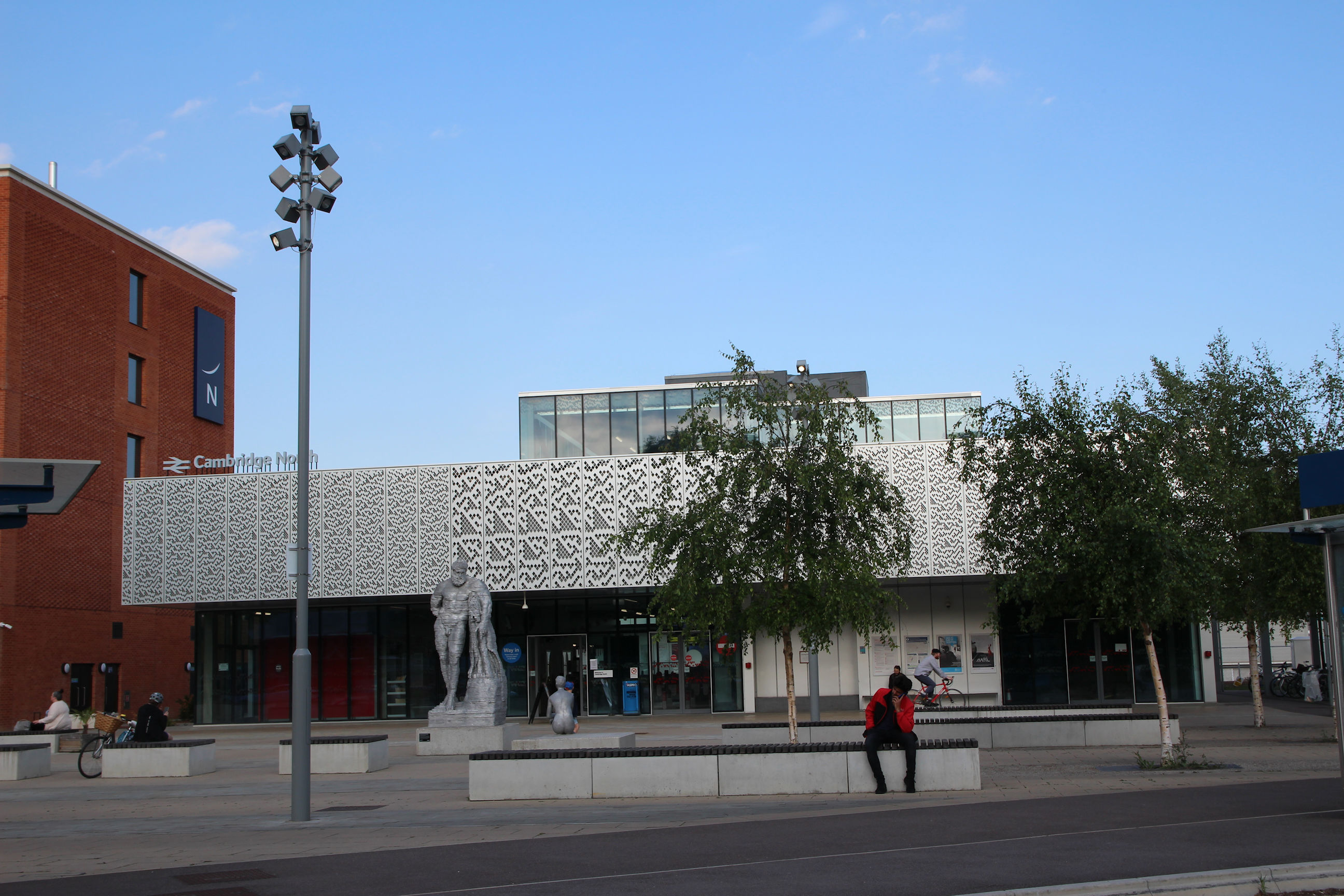
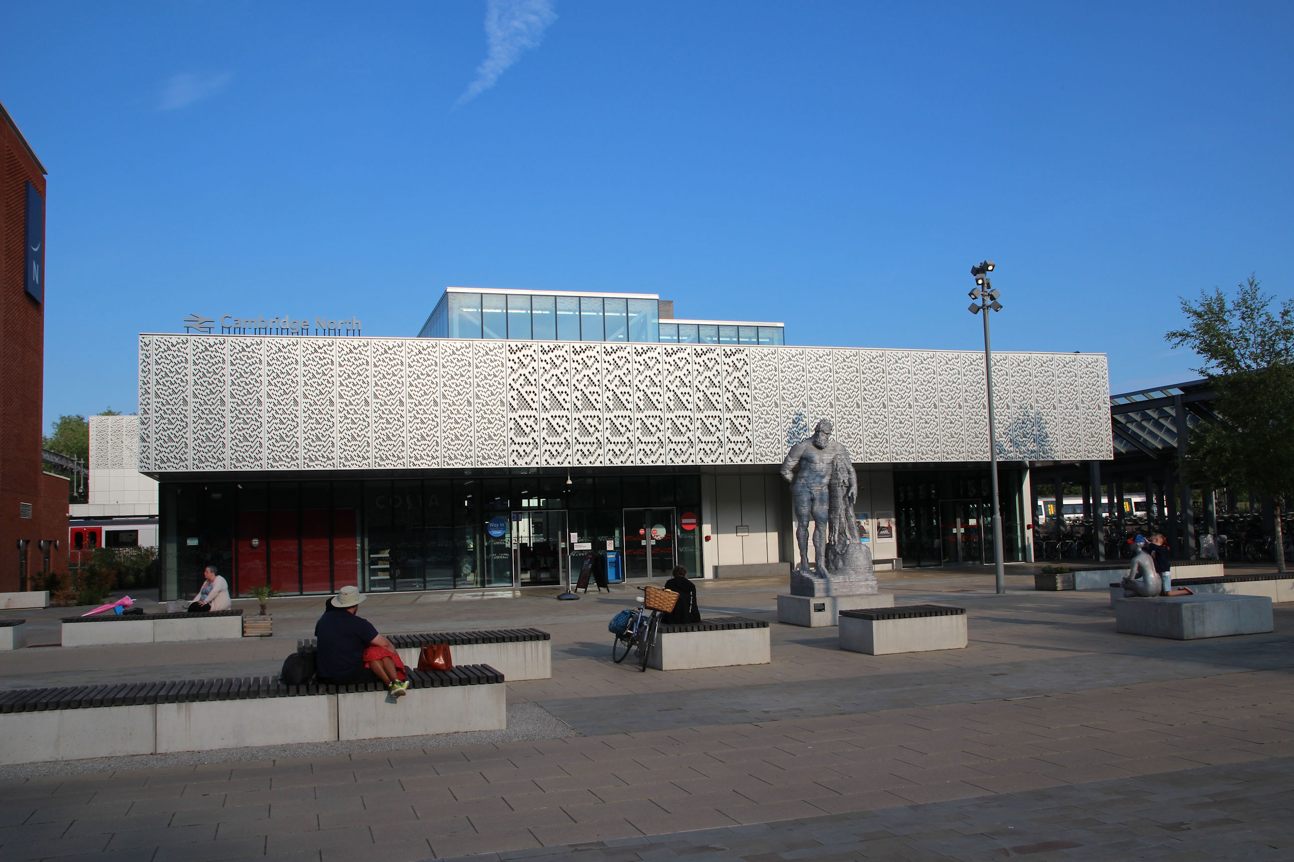
I’m now in front of the station square.
Another view of the station from further round.
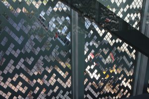
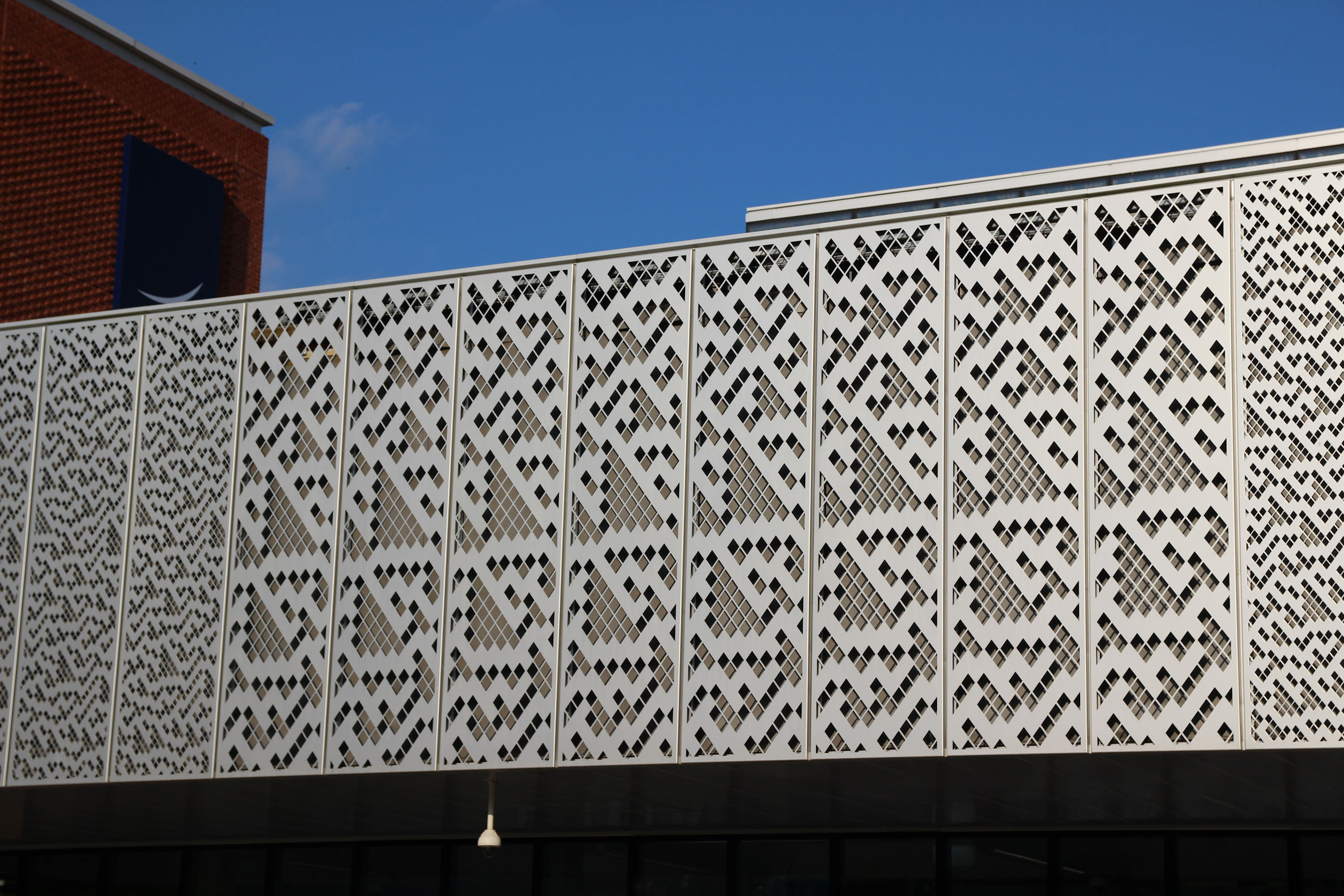
Here’s a close-up view of some of the “cellular automata” cladding on the station frontage. It’s also used on the station footbridge.
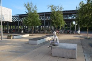
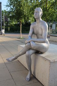
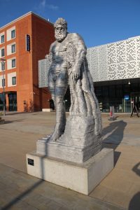
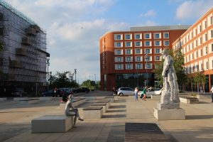
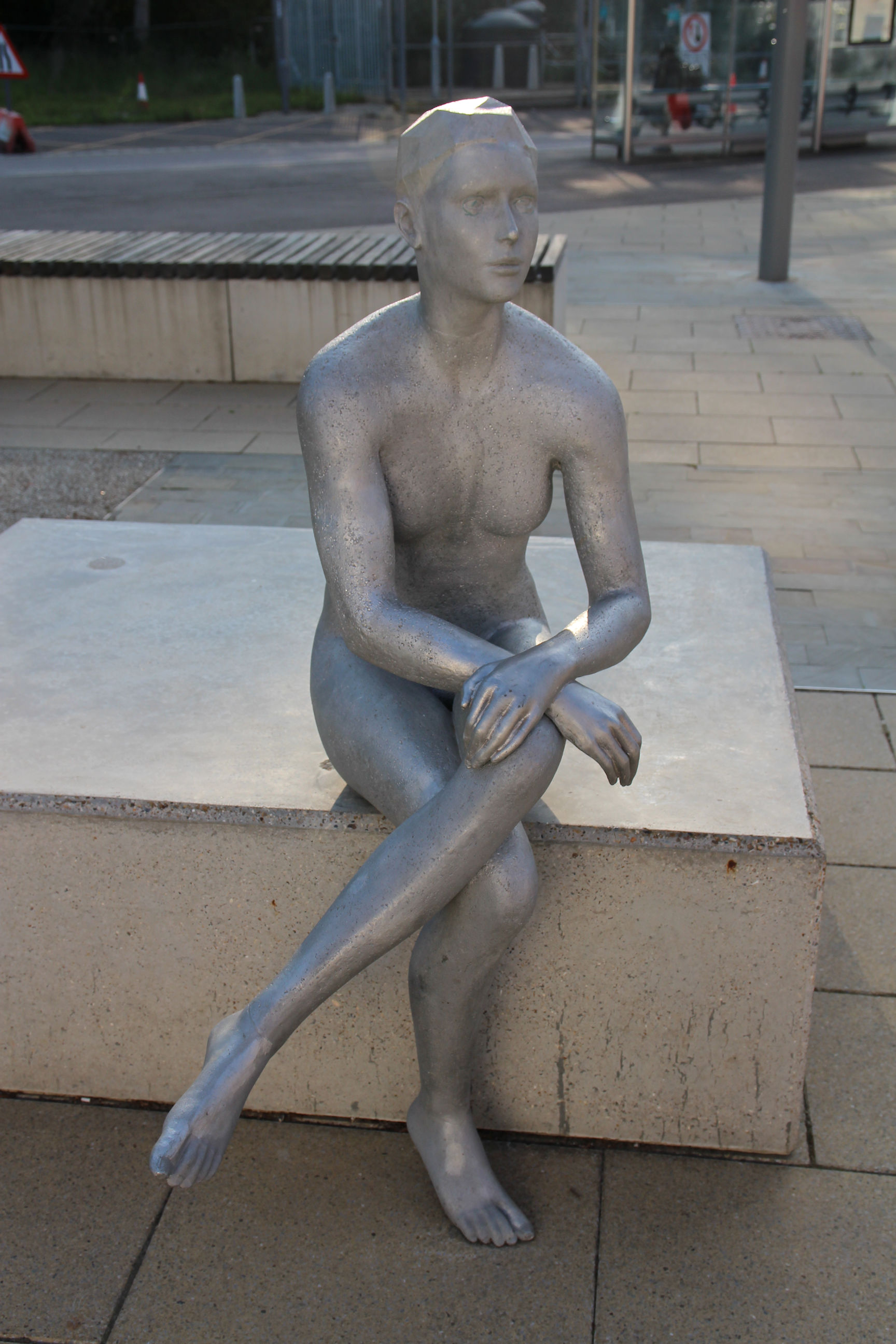
In the station square are two aluminium sculptures by Matthew Darbyshire: Hercules and Galatea.

Galatea is shown seated on the edge of a large plinth – the same size as that of the Hercules sculpture.
Hercules is in a contrasting style and shown standing.

The view looking north across the station square, showing both sculptures.
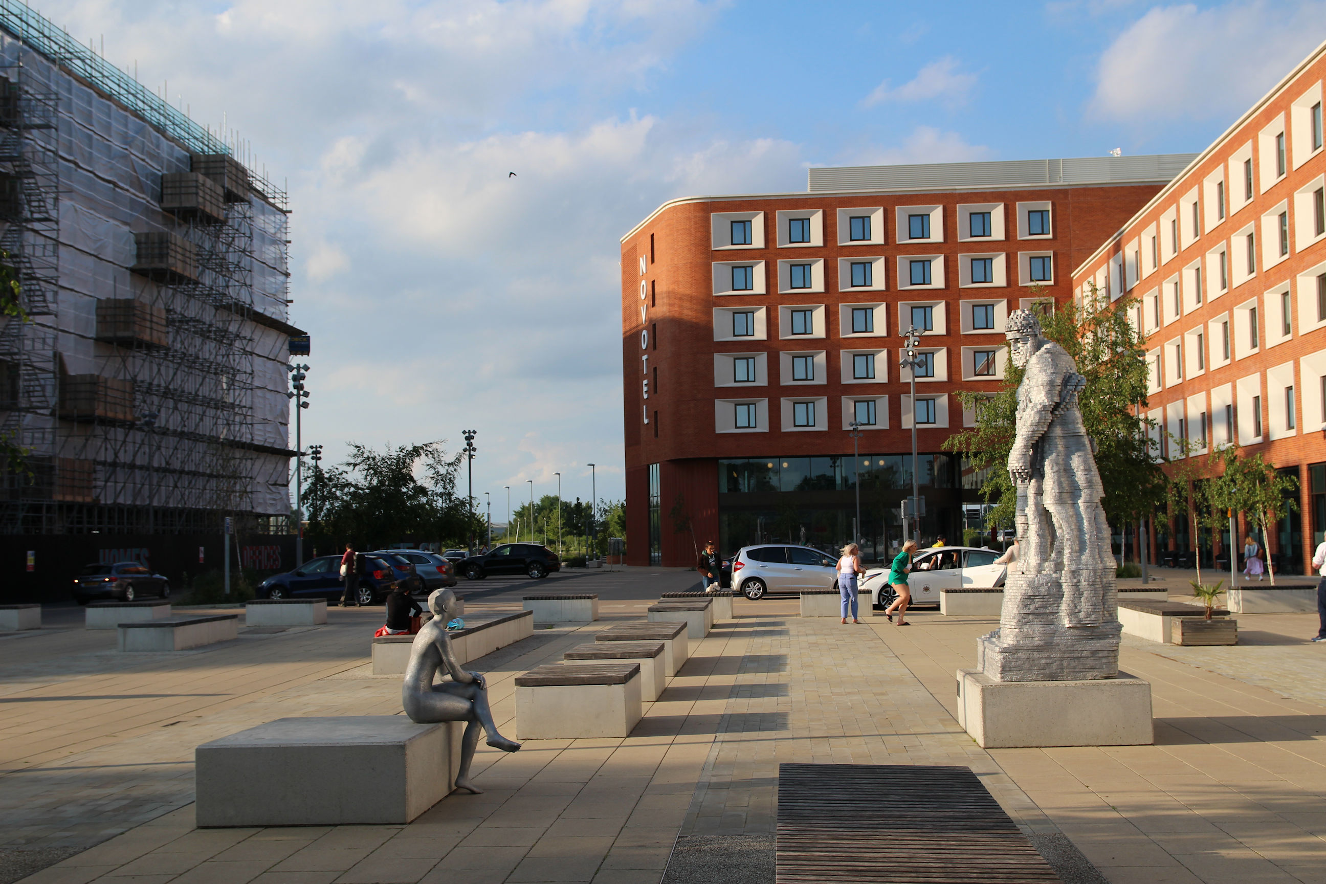
The Novotel has a “Chesterton Partnership” construction hoarding to the left.
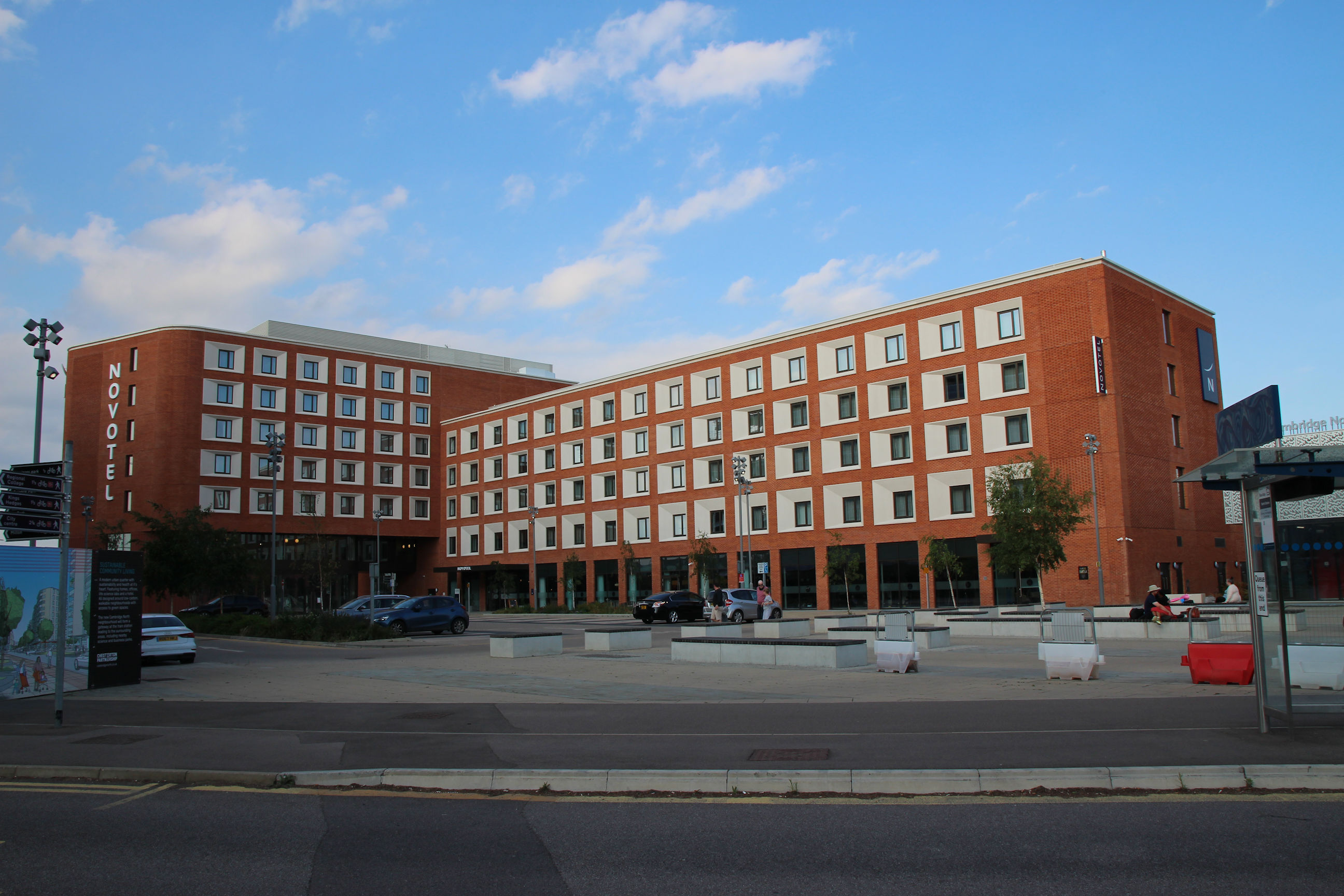
This is the view looking south across the station square towards the cycle park.
This is the first walk on ‘Coleridge and Beyond’ to feature… a train journey. I’ve long wanted to explore inside this station, so I go in and buy a ticket back to Cambridge Station, from which I can walk back to Mill Road.
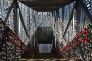
The station frontage leads me to expect something grand and spacious, but inside the station is small and utilitarian. There are some ticket machines, a ticket office and a coffee kiosk. Inside the ticket barriers are some toilets and steps up to the footbridge, which is used to reach all the platforms; none runs alongside the station building. The lift is out-of-order today – so much for accessibility.
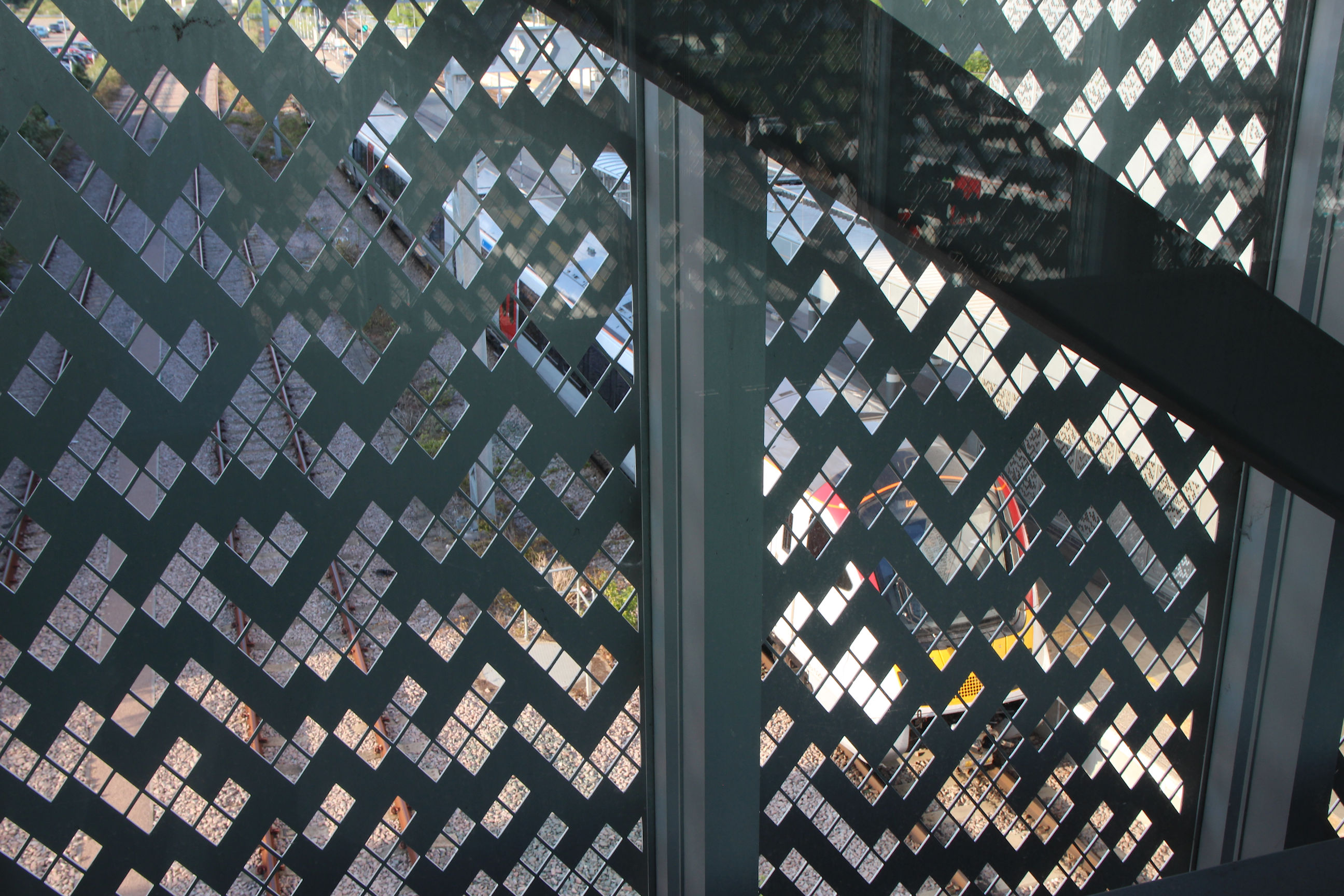
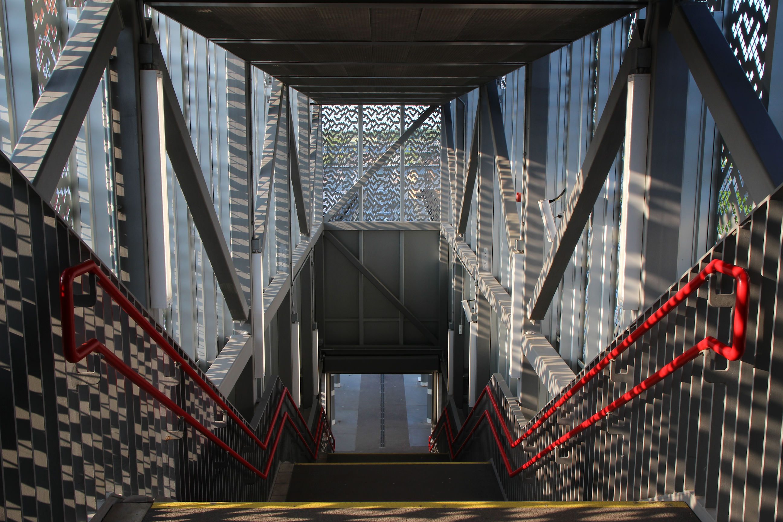
The footbridge is clad with a ‘cellular automata’ perforated design similar to that of the station frontage.
Through the cladding a train can be glimpsed at one of the platforms.
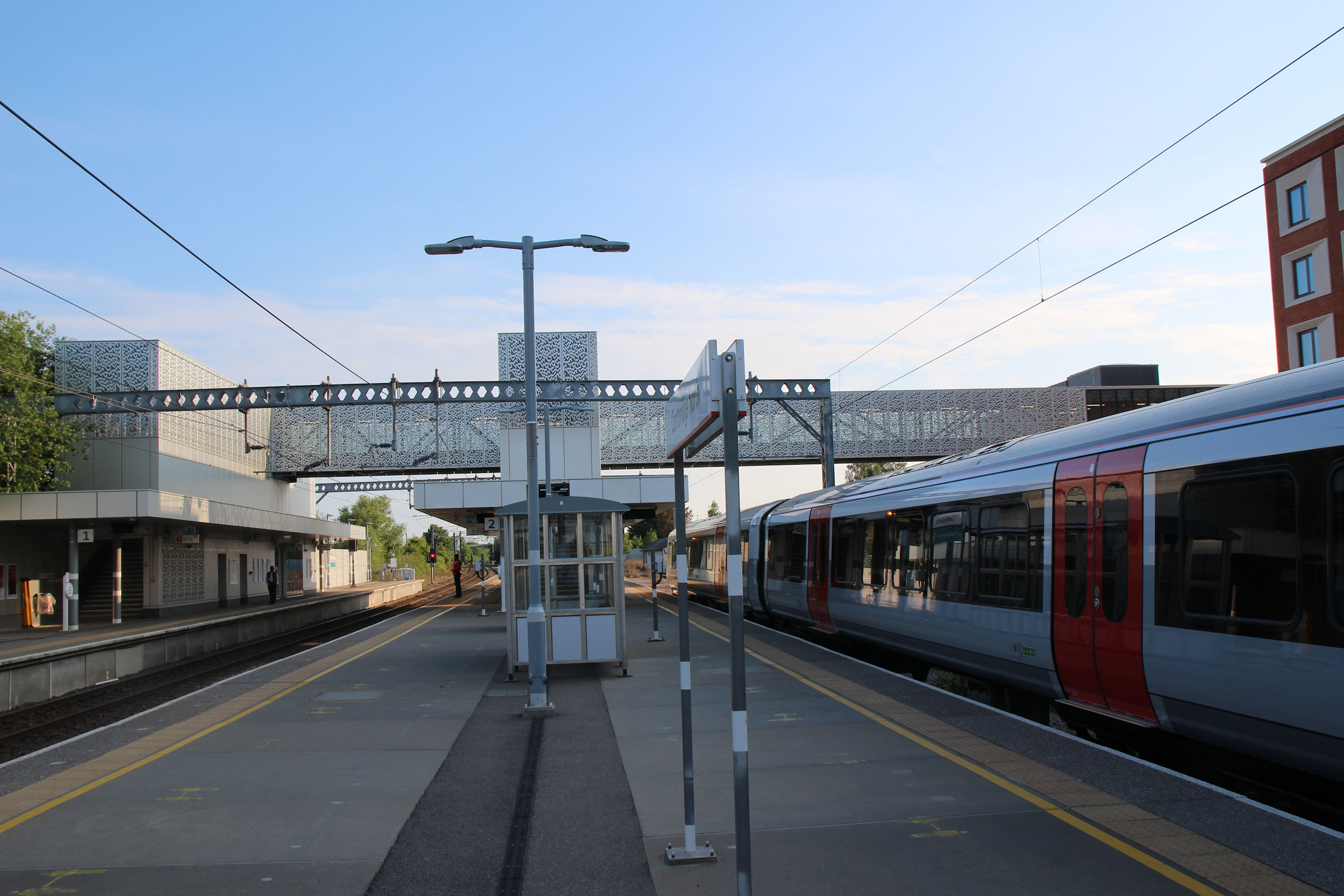
Here are the steps down onto the central platforms.
On the central platforms there’s a basic shelter. I note there’s another building on the far platform (left), which I haven’t explored today as the train is due to leave shortly.
Cambridge Station and Devonshire Road
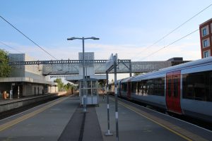
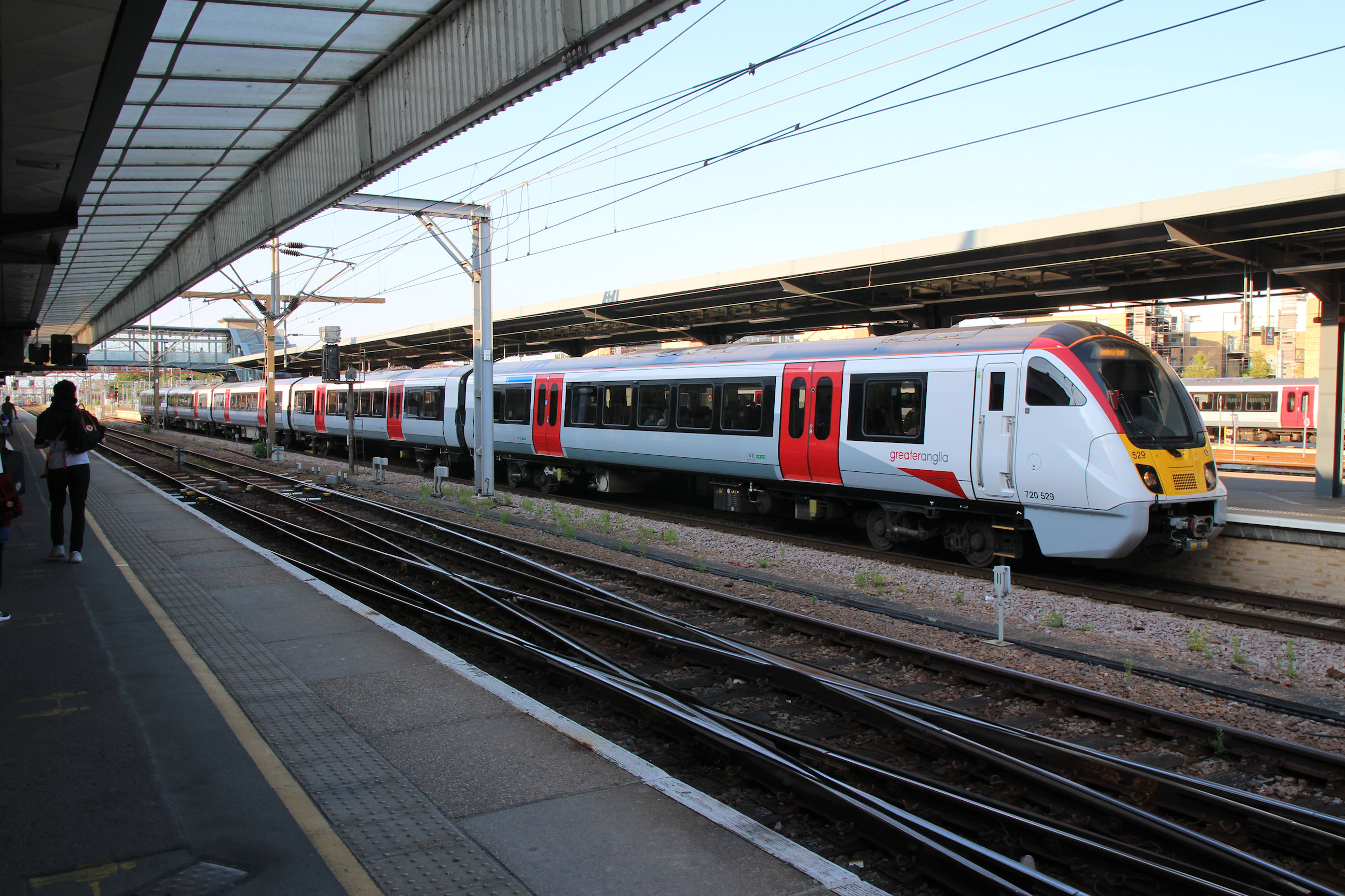
About ten minutes later, I’m in Cambridge Station. The train I came back on – a Class 720 – is on the right at Platform 7.
Station Square on exit from the station. I think there are more taxis waiting here than usual as it’s a Bank Holiday. I covered this area on the Station Square walk.

I walk across the station car park to Devonshire Road by the Carter Bridge steps.
Another one for the time capsule – Travis Perkins. This site is likely to be redeveloped as housing before long.

Mill Road
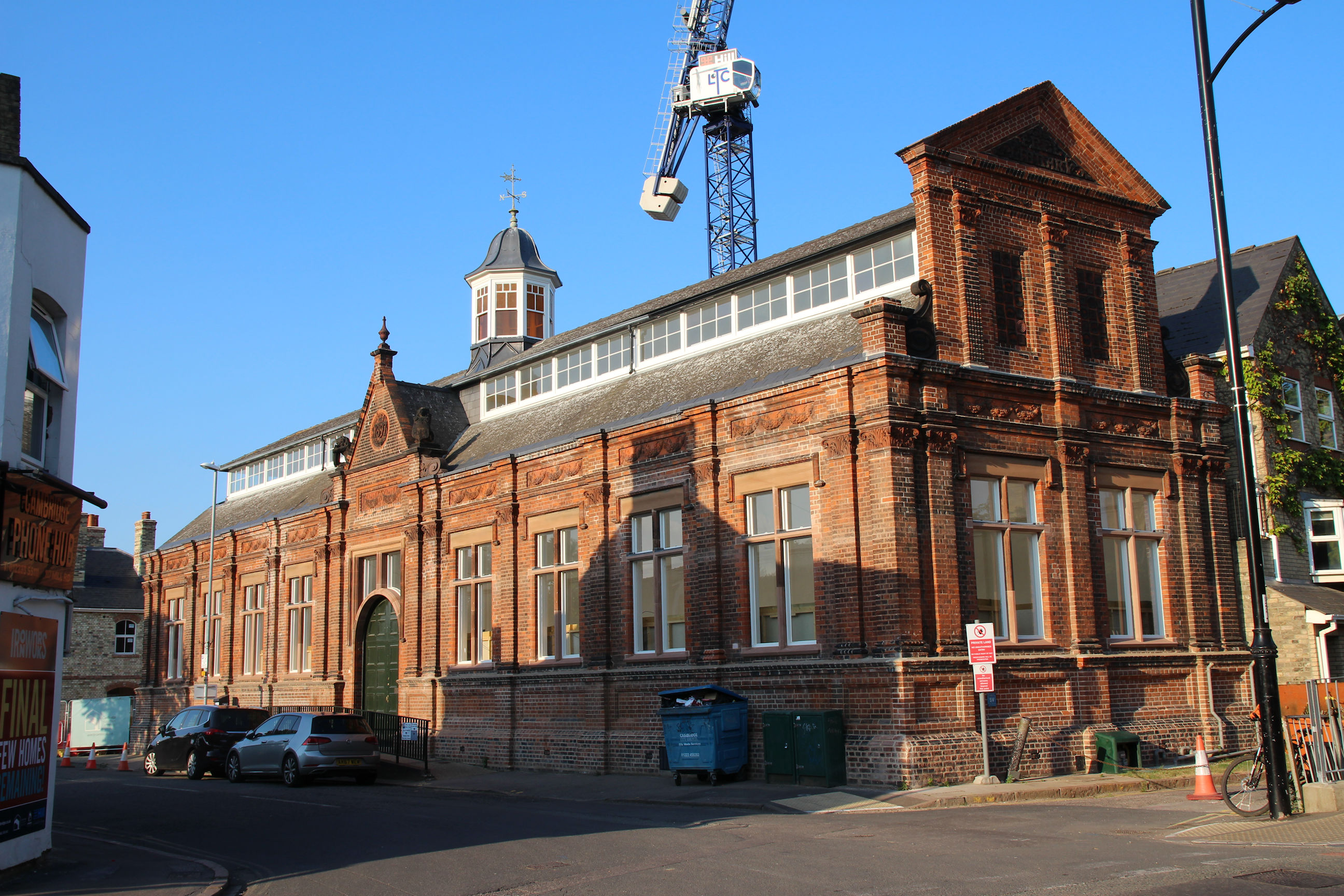
The Council has just put the former Mill Road Library building up for sale. It is hoped that a community use will be found for it.
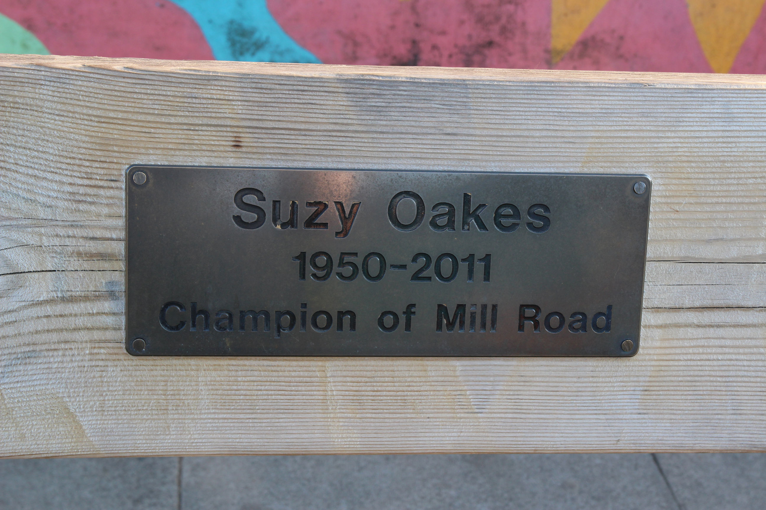
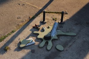
Back on Mill Road Bridge, the FotoDinkyMat Crime Scene remains unsolved. See the Dinky Doors Gallery for more pictures and information.

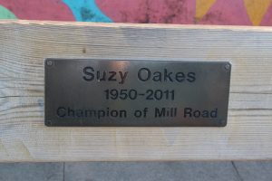
It’s located next to the Suzy Oakes Bench. There has been talk of adding another bench here to honour Allan Brigham. If they put it where I’m standing it will help prevent anyone accidentally stepping on the FotoDinkyMat pieces.
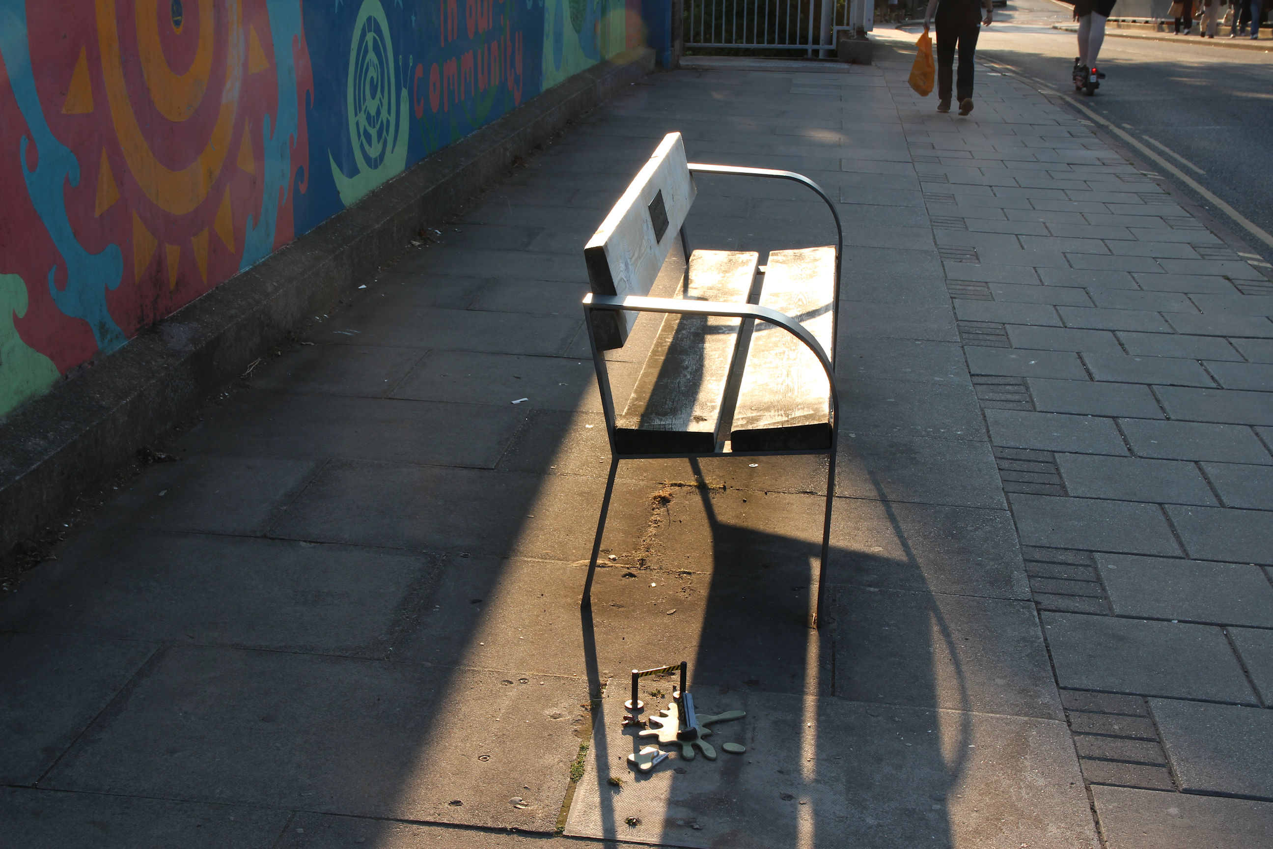
Suzy Oakes was a much-loved and well-known person in the Mill Road area, whi was responsible for establishing the Mill Road Bridges website and Mill Road Winter Fair.